Elevation of Googong NSW, Australia

Location: Australia > New South Wales > Queanbeyan–palerang Regional Council >

Longitude: 149.216667

Latitude: -35.433333

Elevation: 777m / 2549feet

Barometric Pressure: 92KPa

Elevation Map:

elevation map of Googong NSW, Australia

Satellite Map:

Satellite map of Googong NSW, Australia

Related Photos:

jerrabomberra panneman queanbeyan nsw act canberra aboriginal indigenous ngunnawal oppo phonecamera
View to Queanbeyan from Jerrabomberra
jerrabomberra panneman queanbeyan nsw act canberra aboriginal indigenous ngunnawal oppo phonecamera tower black mountain
Black Mountain Tower viewed from Jerrabomberra NSW
actgovernment act nsw googong burra queanbeyan australia panneman nikon d610 londonbridge arch aboriginal indigenous heritage limestone water rock coral ngunnawal yuin river creek queanbeyanriver burracreek
London Bridge Arch 2 Googong/Burra NSW Australia
actgovernment act nsw googong burra queanbeyan australia panneman nikon d610 londonbridge arch aboriginal indigenous heritage limestone water rock coral ngunnawal yuin river creek queanbeyanriver burracreek
London Bridge Arch 1 Googong/Burra NSW Australia
trees sunset sky sun clouds geotagged golden interestingness buddha australia explore canberra hdr sept10 supershot explored inexplore fbdg tomraven aravenimage q309 myfathersboots geo:lat=35339619 geo:lon=149147274
My Fathers Boots
londonbridge arch googong burra queanbeyan capitalcountry panneman nikon d610 nsw australia ngunnawal aboriginal homestead granite bush country blackwhite canberra actgovernment
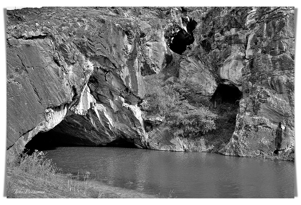
London Bridge Arch 4 Googong/Burra NSW Australia
usa america plane airplane prime us election julia state head aircraft military president darwin airline airforceone government leader canberra bo boeing airways elections departure obama minister primeminister b747 af1 potus cbr gillard airforce1 barackobama barack sigma50500 presidentoftheunitedstatesofamerica americanpresident presidentplane b742 obama2012 828000 governmentplane presidentobama yscb b7472g4b 171111 sonya55 usa2012
Air Force One, 82-8000, Boeing VC-25 (747-2G4B)
jerrabomberra nsw queanbeyan act canberra aboriginal indigenous ngunnawal panneman oppo phonecamera blackmountain tower
Black Mountain Tower viewed from Jerrabomberra NSW (2)
huaweimhal09 huaweip9mate nature sky altocumuluslenticularis
Evening wave, viewed from Isaacs Ridge
Huge Smoke Cloud from the Orroral Valley bushfire - Viewed from South Canberra on 28 January 2020
steveselbyphotography steev steveselby pentax pentaxk1 canberra night stars pentaxdfa1530wr hdpentaxdfa1530mmf28edsdmwr sequitor nocturnal
Starlight over Canberra...
architecture mediumdensityhousing sydneyregionalstyle canberrahouses garywillemsen bertread
Willemsen Townhouses, O'Malley, ACT [2]
huaweimhal09 huaweip9mate nature sky altocumuluslenticularis
Evening wave, viewed from Isaacs Ridge
canberra oxley bikepaths cyclepaths
Oxley, feeder path viewed from Taverner Street underpass. c1989
postcard redhill canberra
Old Red Hill, Canberra, ACT, c1927
monument statue memorial forrest snapshot australia photograph canberra robertburns harringtons velox australiancapitolterritory nationalcircuit johnsdavie jsheddenadam
Bobby Burns, Canberra (c.1935)
mist statue fog geotagged interestingness buddha australia explore serenity canberra luminous hdr buddhistcentre explored inexplore aug2 geo:lon=149147269 tomraven aravenimage q309 geo:lat=35339638
Luminous Buddha in the Mist
actgovernment act nsw googong burra queanbeyan australia panneman nikon d610 londonbridge arch aboriginal indigenous heritage limestone water rock coral ngunnawal yuin river creek queanbeyanriver burracreek
London Bridge Arch 3 Googong/Burra NSW Australia
blue trees moon bird clouds geotagged interestingness silhouettes australia bluesky explore canberra raven explored inexplore aug31 narrabundah tomraven aravenimage q309 geo:lat=35339235 geo:lon=1491492
Watching The Raven Moon
trees sunset sky sun moon lake water fountain clouds geotagged dusk explore golfcourse canberra frontpage hdr aug18 narrabundah tomraven weemoon ☆thepowerofnow☆ aravenimage q309 geo:lat=35341756 geo:lon=149149479
Wee Moon At Sunset
sunset sky panorama mountains green nikon panoramic hills valley canberra dx murrumbidgee 18200mm brindabella urambi d7000
How Green Is My Valley?
splendid splendour splendor fog greystump jerrabomberrawetlands landscape dawn sunrise canberra wetlands trees australia copyrightcolinpilliner countryside toggreystump
Willowed Fog
gl112 glclass ge diesel goninan heritagetrain thnsw transportheritagensw passengertrain 6l75 burbong
Burbong Goninan
canberra landscape redhill australiancapitalterritory act australia greystump rural copyrightcolinpilliner country countryside straw eucalyptus trees scape australian toggreystump
Bush Track
gl112 glclass ge diesel goninan heritagetrain thnsw transportheritagensw passengertrain 6l75 canberra
“Glorious” GL
In the Golden Light
heritage train river au australia line southern aurora nsw newsouthwales canberra act bombala queanbeyan arhs fl220 queanbeyaneast 9l90
2016-01-12 ARHS ACT FL220 Queanbeyan River 9L90
efs1018mmf4556isstm river sky cloud clouds rock rocks bush trees blue bluesky cloudysky canberra molongolo molongoloriver molongologorge gorge
serene riverbed
sunset canberra calwell sky clouds sunlight sun rays sunrays evening australia mavic2pro dji
radiant sunset
sunset australia redhill canberra act cbr australiancapitalterritory redhil nikond600 1635mmf4
Sunset Red Hill_2
1800dpiscan act canberra epsonv700photoscan epsonscansoftware fujiga645 fujirvp50velvia dustremovalscanoption
Russell from Kingston Foreshore, winter.
2018wavecamp australia bunyan ricohgxr183f25grlensmodule gliding bredbo snowymonaroregion mountainleewave canberraglidingclub ls6wl sailplane glider planeur segelflugzeug
About 20,000ft over the Monaro
mtcook nature newzealand landscape
MT COOK ,NZ
carwoola taliesinhill bushfire clouds fire silhouette sky sunset
Carwoola Fire
australiaphotography sunrise landscape newzealand
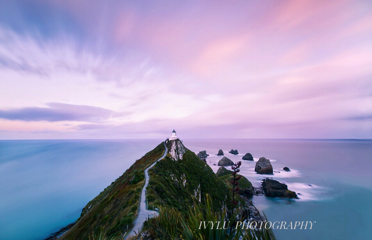
Nugget point Newzealand
theridgeway newsouthwales australia au
Gorgeous Garratt
oaksestate australiancapitalterritory australia au
River Garratt
greenway australiancapitalterritory australia canberra laketuggeranong blackandwhite clouds storm
Lake Tuggeranong B&W
path tracks dual duality grass field green sunset blue clouds goldenhour evening australia canberra tree tyretracks double
which path would you take?
canberra lake burleigh griffin reflection blue sky blackmountain tower australia
Lake Burley Griffin, Canberra
landscape canoneos5dmarkiv canon panoramic panorama sunrise canberra australiancapitalterritory australia au
Mount Taylor
act canberra sunrise urambihills tuggeranongdc australiancapitalterritory australia au canon1635f4l canoneos5dmarkiv rocks
Morning light on Urambi Hills