Elevation of Gold Rd, Glasco, KS, USA
Location: United States > Kansas > Cloud County > Center > Glasco >
Longitude: -97.676589
Latitude: 39.408545
Elevation: 488m / 1601feet
Barometric Pressure: 96KPa
Elevation Map:
Satellite Map:
Related Photos:
Smoky Hills View

Meridian Way Wind Farm

The Top of a Turbine
Ghost trip fall 2012

Turbines at Meridian Way

It Would Have Been Better in the Afternoon

Ghost trip fall 2012

Lumber and Lace

The Shavey Place II

Cloud County School

20140615-IMG_6909

20150110-IMG_0209

Silence in the Hills

Spider vs Butterfly
The other way

Survival Condos.com Tech Center
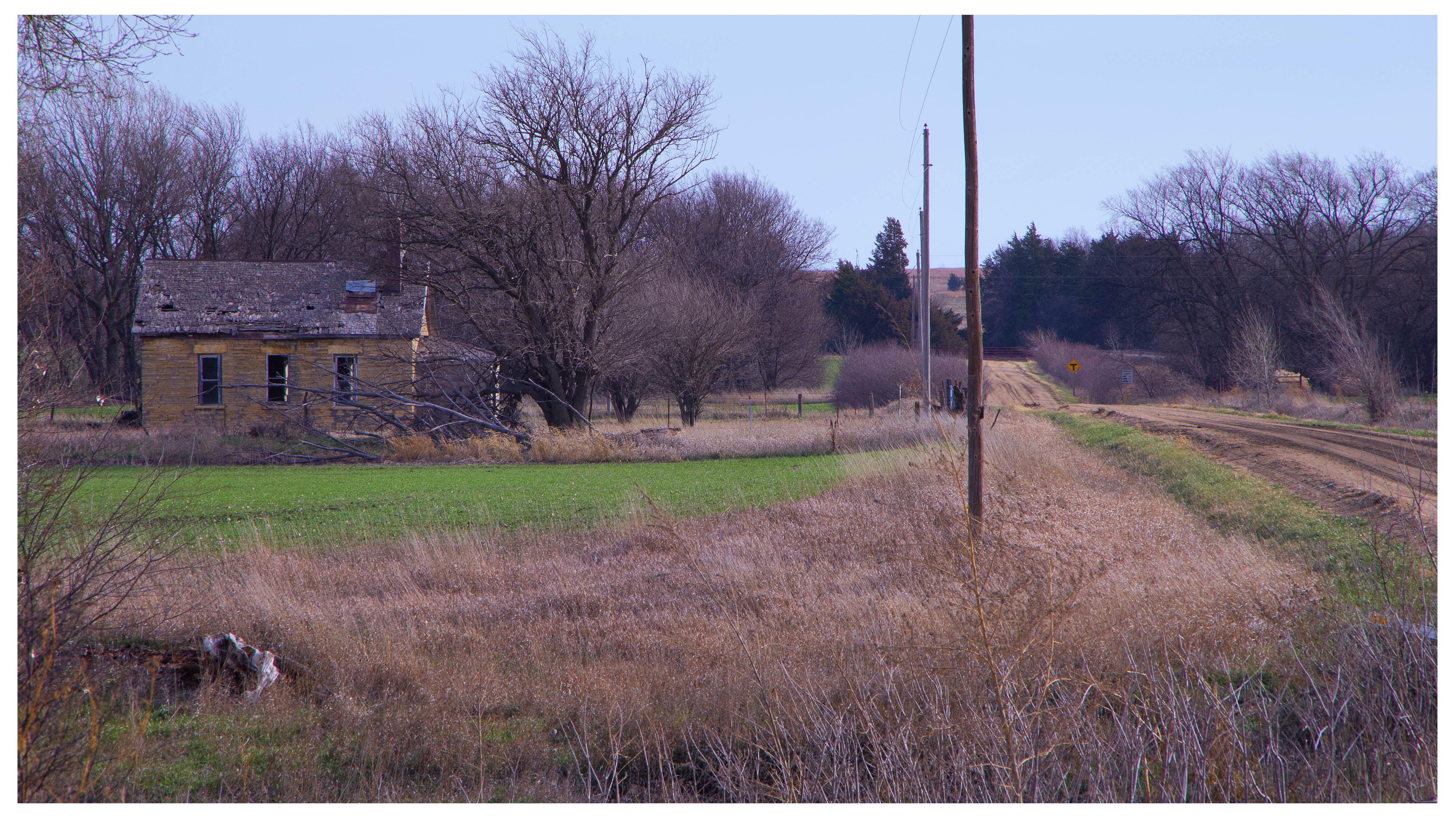
Ghost trip fall 2012

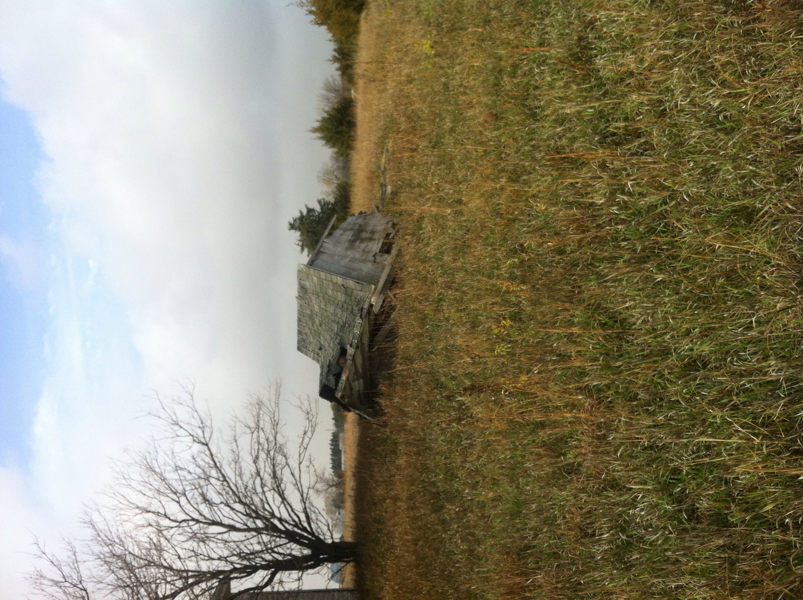
Ghost trip fall 2012

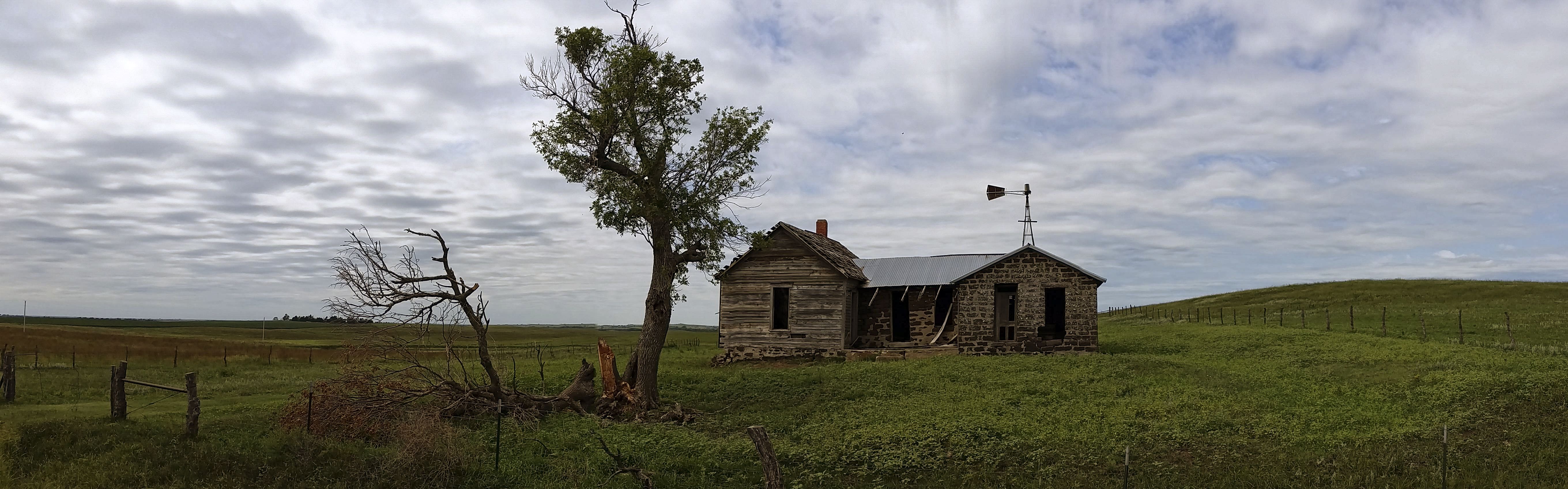
Ghost trip fall 2012

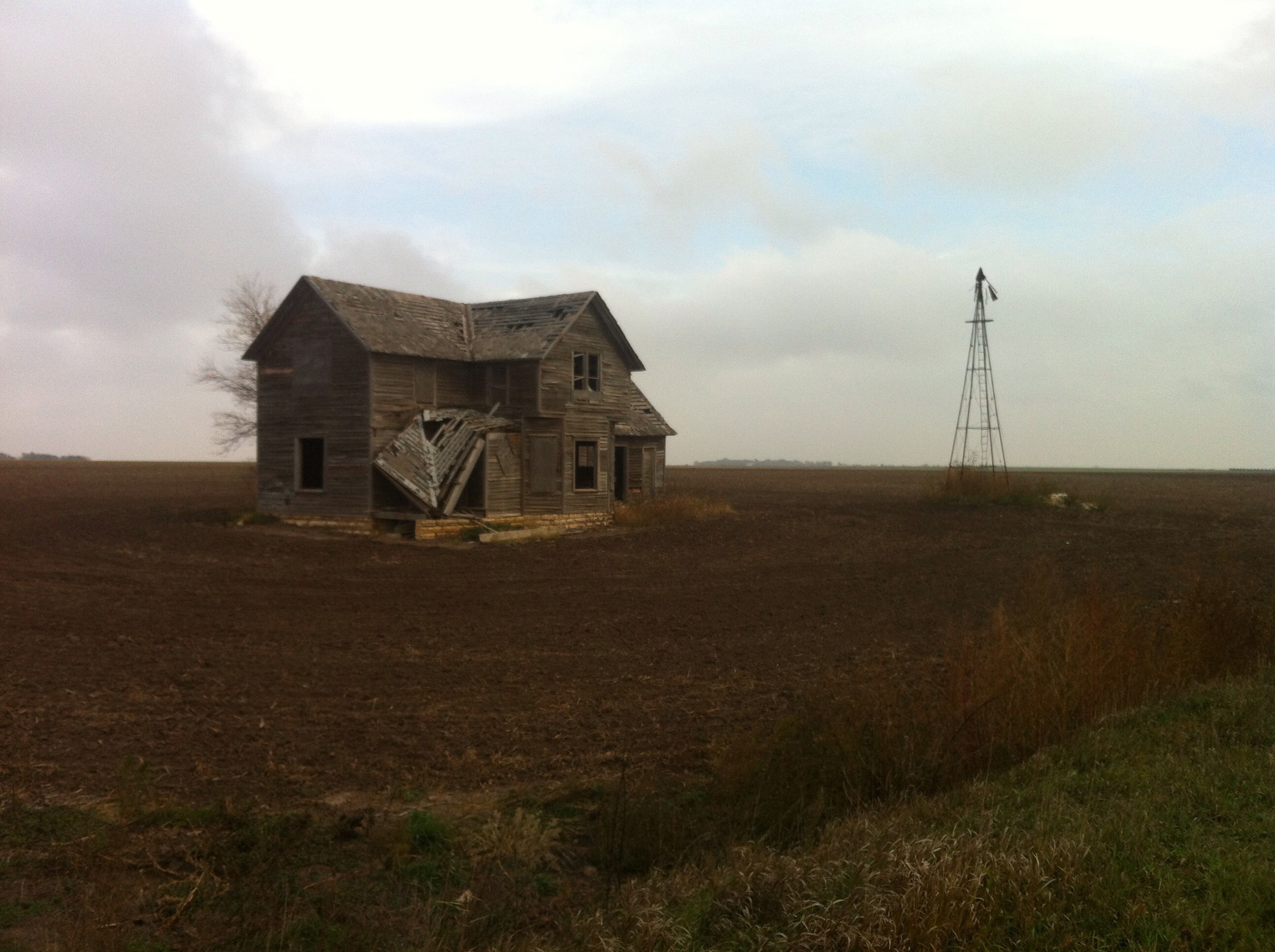
Ghost trip fall 2012

Ghost trip fall 2012
Topographic Map of Gold Rd, Glasco, KS, USA
Find elevation by address:

Places near Gold Rd, Glasco, KS, USA:
1347 Gold Rd
713 120th Rd
Center
Cloud County
Oak Rd, Concordia, KS, USA
Quail Rd, Concordia, KS, USA
Lincoln
911 Republican St
304 W 7th St
304 W 7th St
W 7th St, Concordia, KS, USA
Concordia
Cloud County Road & Bridge
Industrial Rd, Concordia, KS, USA
Elkhorn St, Beloit, KS, USA
Simpson
Loretta Trail, Beloit, KS, USA
Elk
Clyde
Green St, Clyde, KS, USA
Recent Searches:
- Elevation of Congressional Dr, Stevensville, MD, USA
- Elevation of Bellview Rd, McLean, VA, USA
- Elevation of Stage Island Rd, Chatham, MA, USA
- Elevation of Shibuya Scramble Crossing, 21 Udagawacho, Shibuya City, Tokyo -, Japan
- Elevation of Jadagoniai, Kaunas District Municipality, Lithuania
- Elevation of Pagonija rock, Kranto 7-oji g. 8"N, Kaunas, Lithuania
- Elevation of Co Rd 87, Jamestown, CO, USA
- Elevation of Tenjo, Cundinamarca, Colombia
- Elevation of Côte-des-Neiges, Montreal, QC H4A 3J6, Canada
- Elevation of Bobcat Dr, Helena, MT, USA