Elevation of Gold Flume Way, Cleveland, GA, USA
Location: United States > Georgia > White County > Cleveland >
Longitude: -83.857545
Latitude: 34.632689
Elevation: 503m / 1650feet
Barometric Pressure: 95KPa
Elevation Map:
Satellite Map:
Related Photos:

Maidenhair Falls

Maindenhair Falls

Maidenhair Falls

Dodd Creek Falls

Dodd Creek Falls

Dodd Creek Falls

Autumn at Dockery Lake

Winter Jewel

Color of Autumn at Dockery Lake

Maidenhair Falls

Dukes Creek Falls

Lower Falls Helton Creek

Dodd Creek Falls

Dover Falls

Upper Helton Creek Falls

Dodd Creek Falls

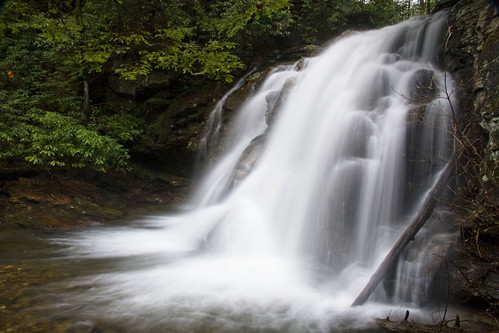
Helton Creek Falls

Dockery Mirror

High on Helton

Upper Dukes Creek Falls

Faucet Falls

Maidenhair Falls
Fall on Dodd Creek

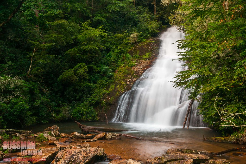
Falls on Dukes Creek
Helton Creek Falls

Helton Creek Falls

Falls on Dukes Creek

Falls on Dukes Creek
Topographic Map of Gold Flume Way, Cleveland, GA, USA
Find elevation by address:

Places near Gold Flume Way, Cleveland, GA, USA:
709 Gold Flume Way
512 Running Deer Rd
152 Big Rock Rd
90 Campfire Dr
1000 Paradise Valley Rd
102 Anglican Way
Hidden Valley Road
Cross Creek Road
7208 Us-129
5 Herman Winkler Rd
The Cottage Vineyard & Winery
1418 John Crow Rd
45 Fox Hunter Ln
876 Highland Trail
Yogi Bear Boulevard
425 Dicks Creek Rd
300 Rose Rd
571 Rose Rd
451 Spring Crest Rd
1463 Albert Reid Rd
Recent Searches:
- Elevation of Redondo Ave, Long Beach, CA, USA
- Elevation of Sadovaya Ulitsa, 20, Rezh, Sverdlovskaya oblast', Russia
- Elevation of Ulitsa Kalinina, 79, Rezh, Sverdlovskaya oblast', Russia
- Elevation of 72-31 Metropolitan Ave, Middle Village, NY, USA
- Elevation of 76 Metropolitan Ave, Brooklyn, NY, USA
- Elevation of Alisal Rd, Solvang, CA, USA
- Elevation of Vista Blvd, Sparks, NV, USA
- Elevation of 15th Ave SE, St. Petersburg, FL, USA
- Elevation of Beall Road, Beall Rd, Florida, USA
- Elevation of Leguwa, Nepal