Elevation of Godbout, QC, Canada
Location: Canada > Québec > Manicouagan Regional County Municipality >
Longitude: -67.599931
Latitude: 49.3244234
Elevation: 15m / 49feet
Barometric Pressure: 101KPa
Elevation Map:
Satellite Map:
Related Photos:
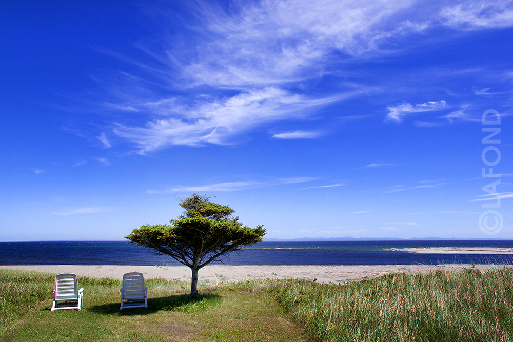
Pin parasol...

Lac 03
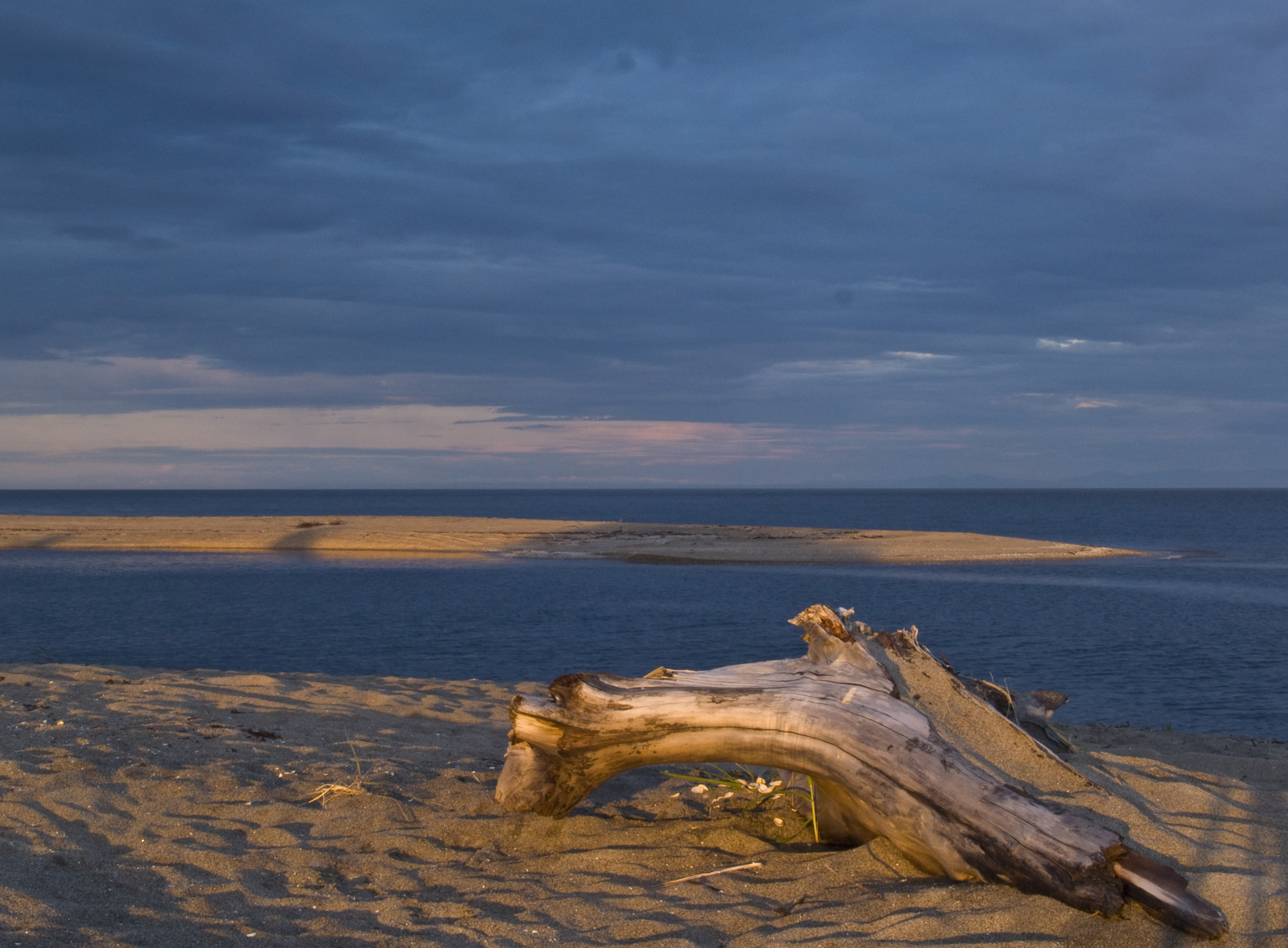
Sunset on the Beach at Godbout
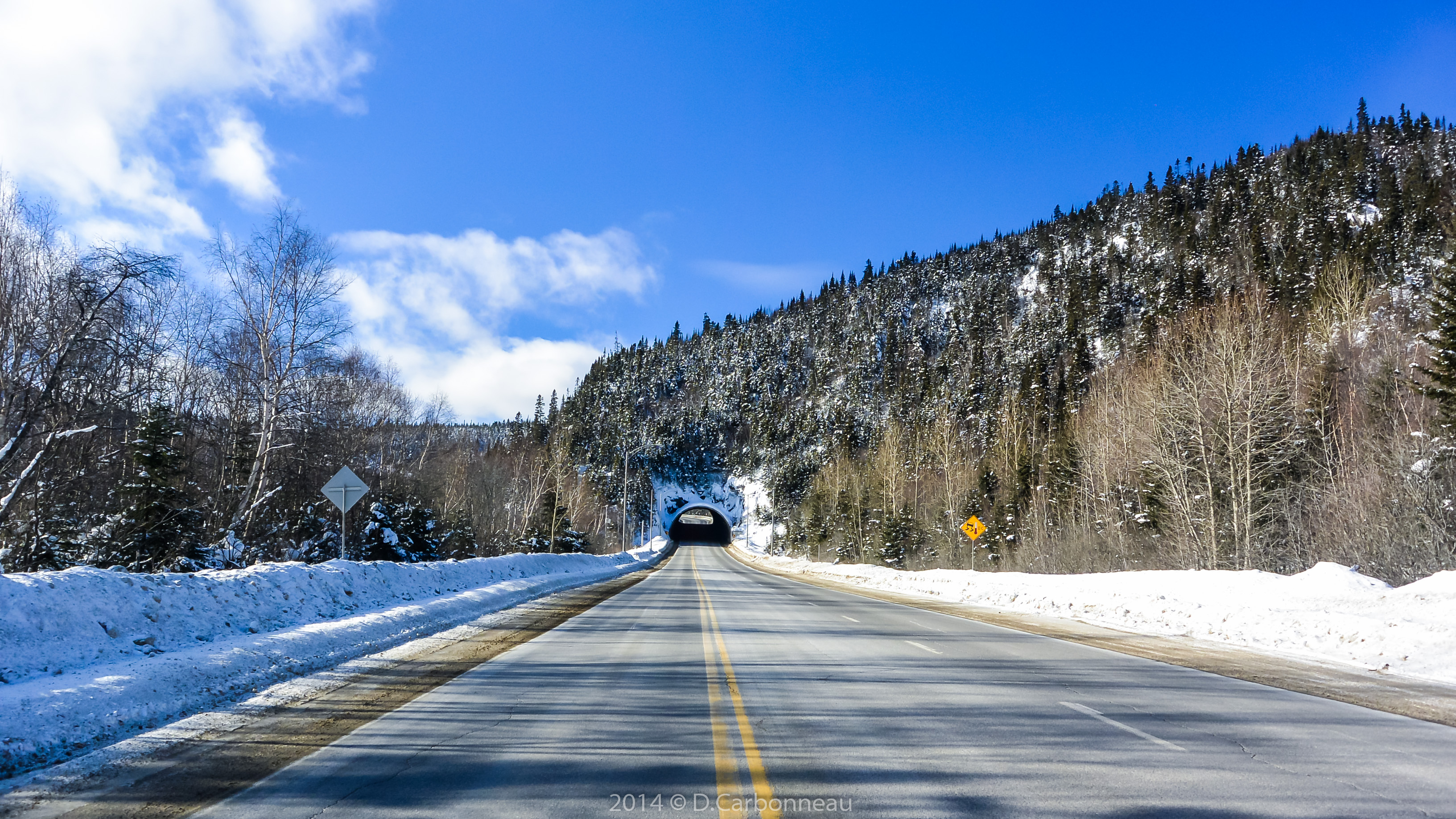
2014-02-06_12-45-12-_DSC4282.jpg
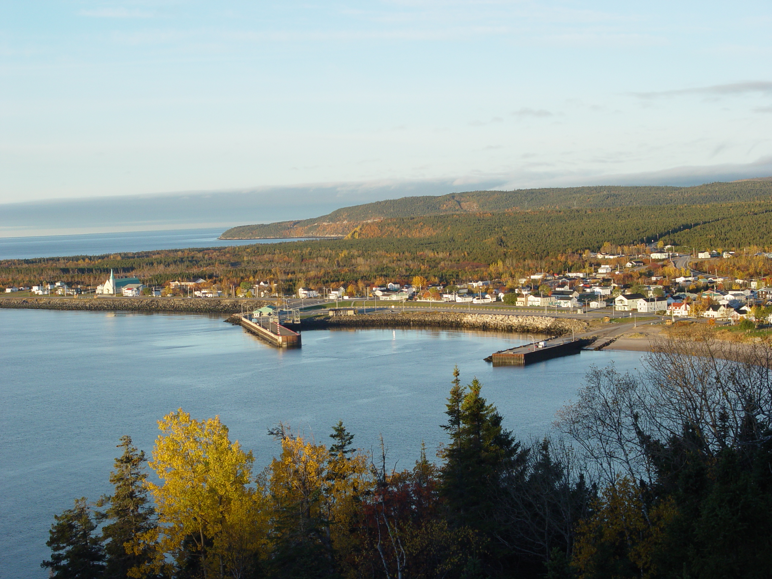
DSC03876.JPG

Ferry 'cross the St. Lawrence

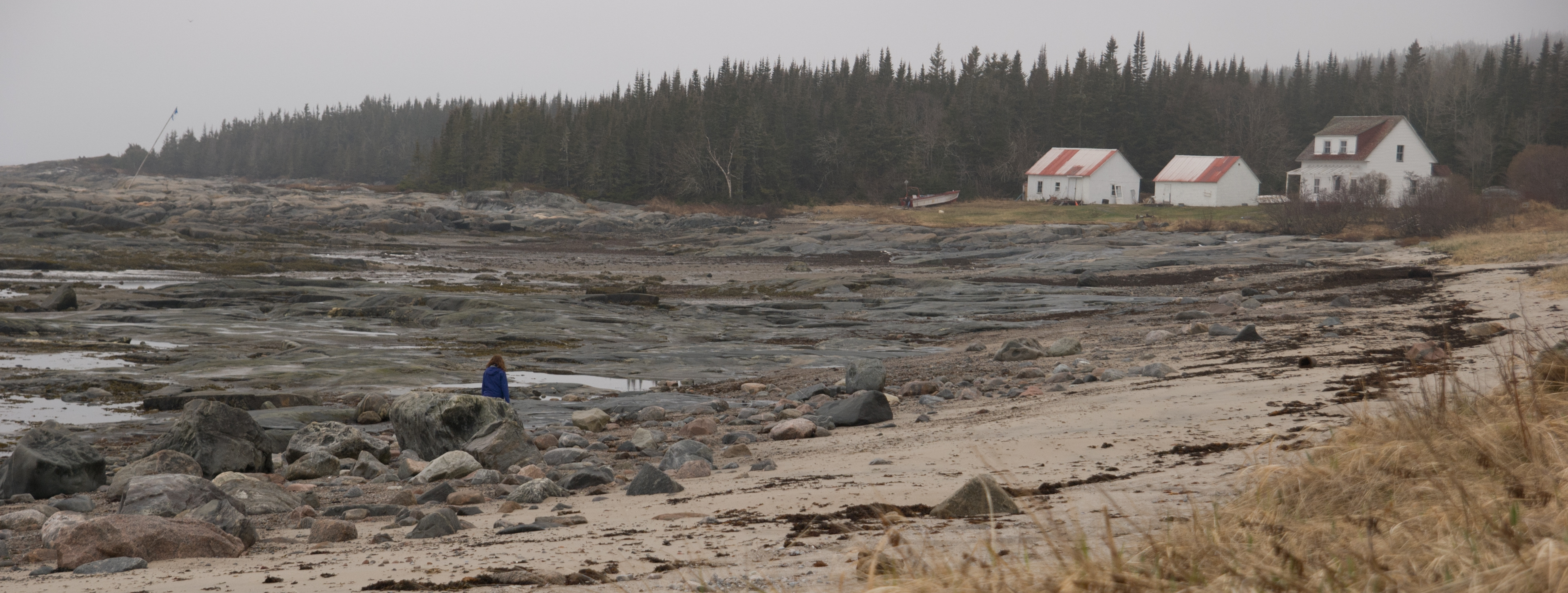
Godbout 05
DSC_1927-2

Hypno-route

DSCN5801 0
Topographic Map of Godbout, QC, Canada
Find elevation by address:

Places near Godbout, QC, Canada:
Godbout
Godbout
Godbout
Godbout
Godbout
Godbout
Godbout
Godbout
Godbout
Godbout
Godbout
Godbout
Godbout
Godbout
Godbout
Godbout
Godbout
Godbout
Godbout
Recent Searches:
- Elevation of Corso Fratelli Cairoli, 35, Macerata MC, Italy
- Elevation of Tallevast Rd, Sarasota, FL, USA
- Elevation of 4th St E, Sonoma, CA, USA
- Elevation of Black Hollow Rd, Pennsdale, PA, USA
- Elevation of Oakland Ave, Williamsport, PA, USA
- Elevation of Pedrógão Grande, Portugal
- Elevation of Klee Dr, Martinsburg, WV, USA
- Elevation of Via Roma, Pieranica CR, Italy
- Elevation of Tavkvetili Mountain, Georgia
- Elevation of Hartfords Bluff Cir, Mt Pleasant, SC, USA