Elevation of Godačica, Serbia
Location: Serbia > Raška District >
Longitude: 20.8677215
Latitude: 43.7805061
Elevation: 456m / 1496feet
Barometric Pressure: 96KPa
Elevation Map:
Satellite Map:
Related Photos:

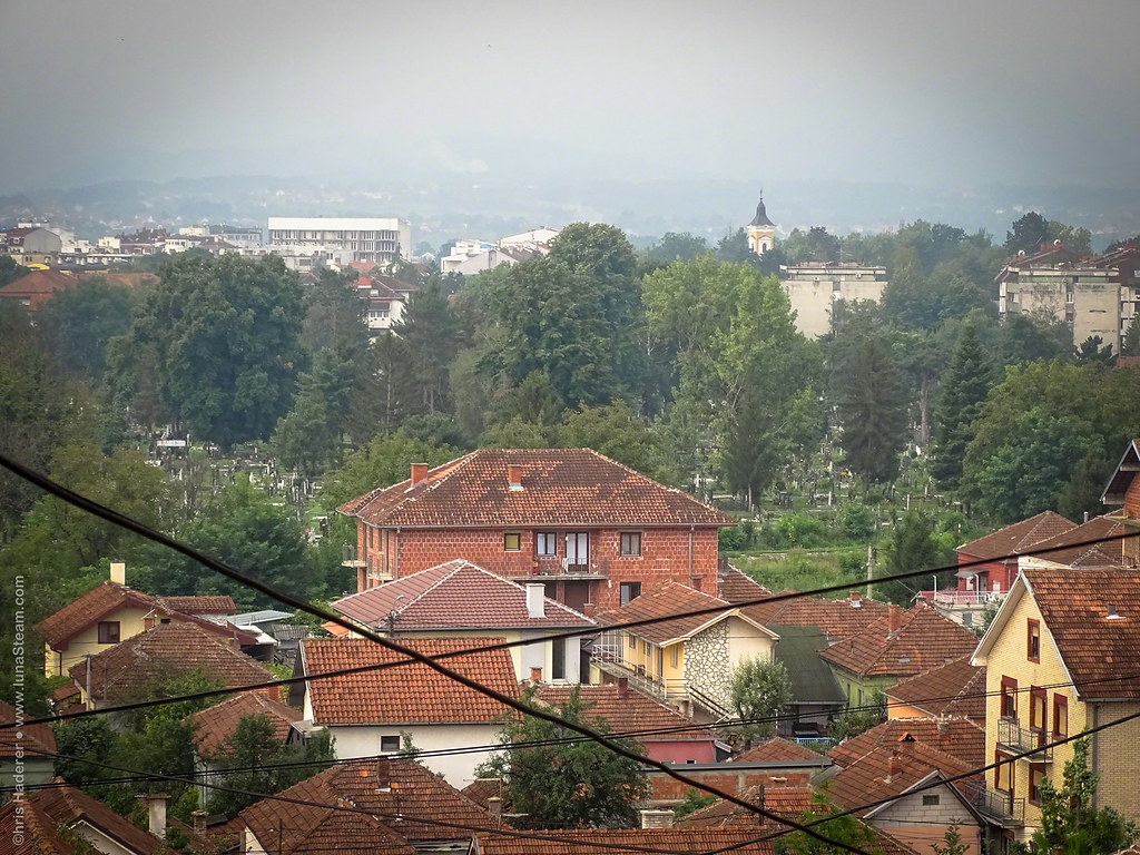
A view of Kraljevo

Views of Kraljevo
Views of Kraljevo

Views of Kraljevo
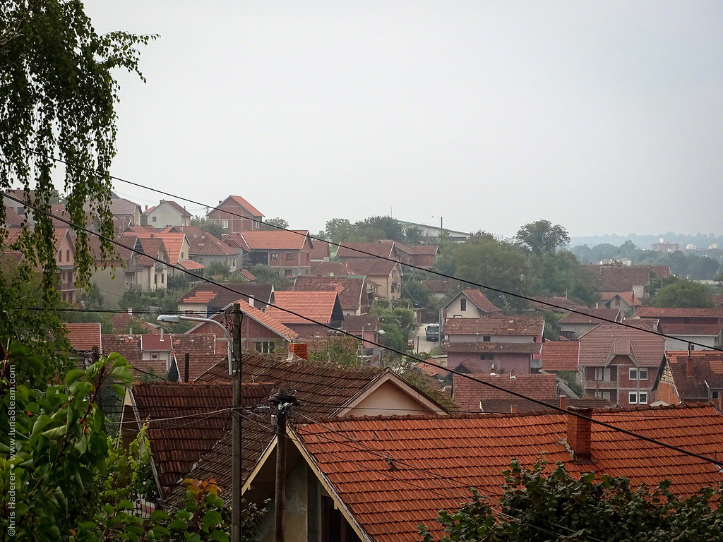
Views of Kraljevo

Views of Kraljevo

Views of Kraljevo

A view of Kraljevo

Views of Kraljevo

Views of Kraljevo

Views of Kraljevo

Views of Kraljevo

Views of Kraljevo

A view of Kraljevo

Žubor voda žuborila. #Ribnica

Nepodnošljiva kičastost prirode 2
Topographic Map of Godačica, Serbia
Find elevation by address:

Places near Godačica, Serbia:
Unnamed Road
Dositejeva 96-98
Kraljevo
Knić
Miločaj
Kragujevac
Serbia
Borač, Knić
Batočina
Sumadija
Prislonica
Vujan Monastery
Rudnik
Majdan
Čačak
Varnice
Moravica District
Vukosavci
Podunavlje District
Rogača
Recent Searches:
- Elevation of Congressional Dr, Stevensville, MD, USA
- Elevation of Bellview Rd, McLean, VA, USA
- Elevation of Stage Island Rd, Chatham, MA, USA
- Elevation of Shibuya Scramble Crossing, 21 Udagawacho, Shibuya City, Tokyo -, Japan
- Elevation of Jadagoniai, Kaunas District Municipality, Lithuania
- Elevation of Pagonija rock, Kranto 7-oji g. 8"N, Kaunas, Lithuania
- Elevation of Co Rd 87, Jamestown, CO, USA
- Elevation of Tenjo, Cundinamarca, Colombia
- Elevation of Côte-des-Neiges, Montreal, QC H4A 3J6, Canada
- Elevation of Bobcat Dr, Helena, MT, USA