Elevation of Goat Rocks Wilderness, Randle, WA, USA
Location: United States > Washington > Lewis County > Randle >
Longitude: -121.45980
Latitude: 46.5373376
Elevation: 1802m / 5912feet
Barometric Pressure: 81KPa
Elevation Map:
Satellite Map:
Related Photos:

Chimney Rock, Lewis County, Washington, Spring 2017

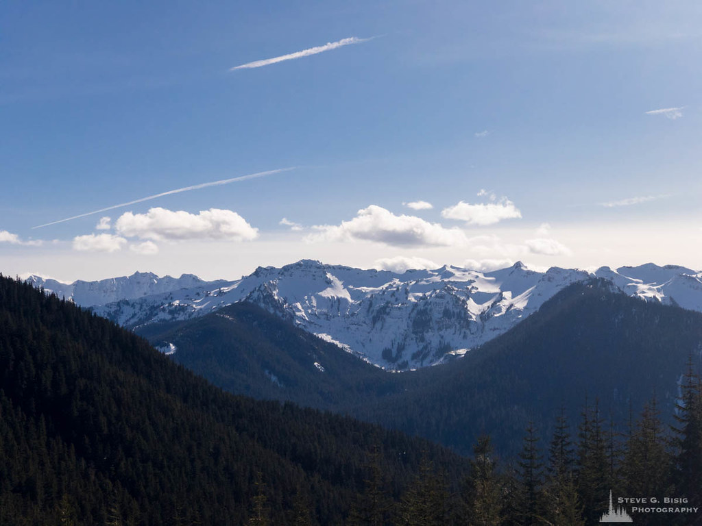
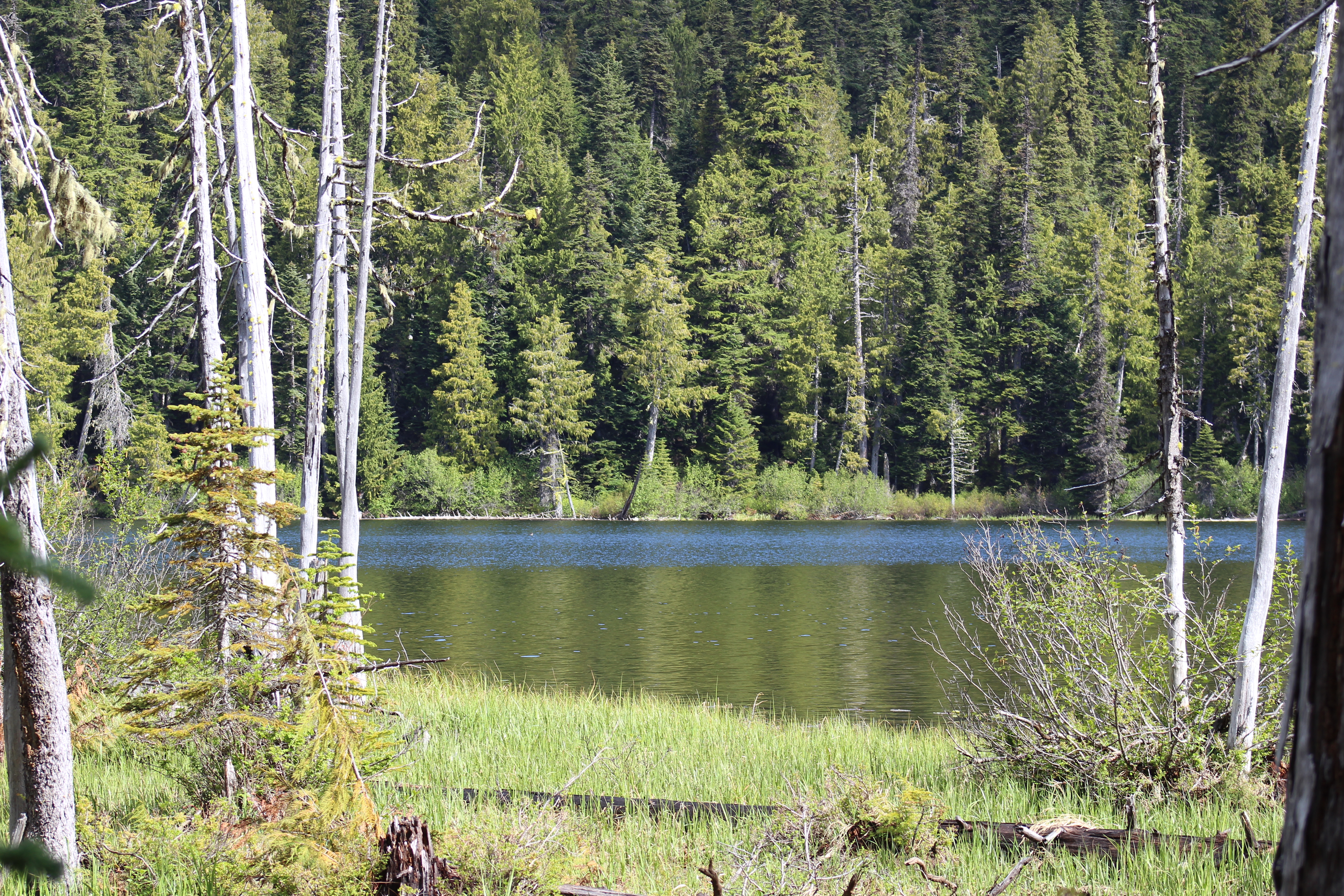
Goat Rocks Wilderness, Washington, Spring 2017

Old Snowy Mountain, Washington, Spring 2017

Old Snowy Mountain, Goat Rocks Wilderness, Washington, Spring 2017

Shale trail on top of Old Snowy
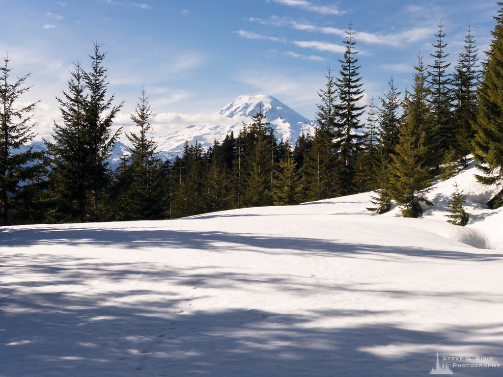
Mount Rainier, White Pass, Washington, Spring 2017
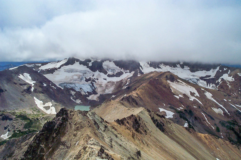
Views of Conrad and Meade Glaciers from Tieton Peak
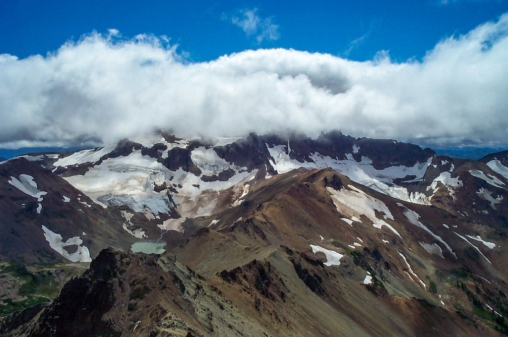
Views of Conrad and Meade Glaciers from Tieton Peak
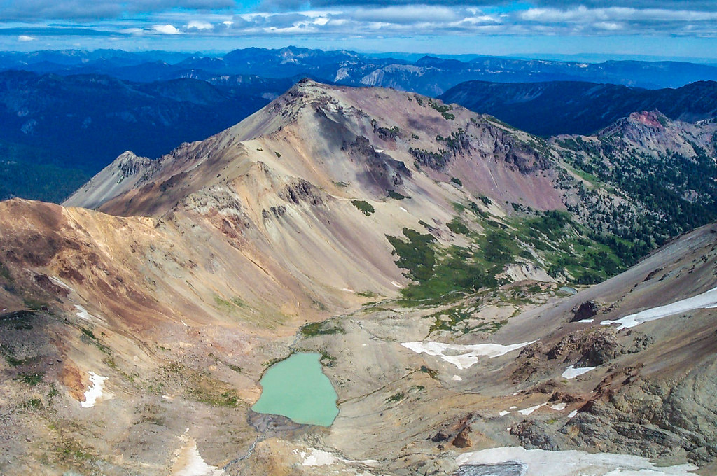
View of Tieton Peak from top of Gilbert Peak, looking NE.
Coyote Ridge, Lewis County, Washington, Spring 2017 (iOS)
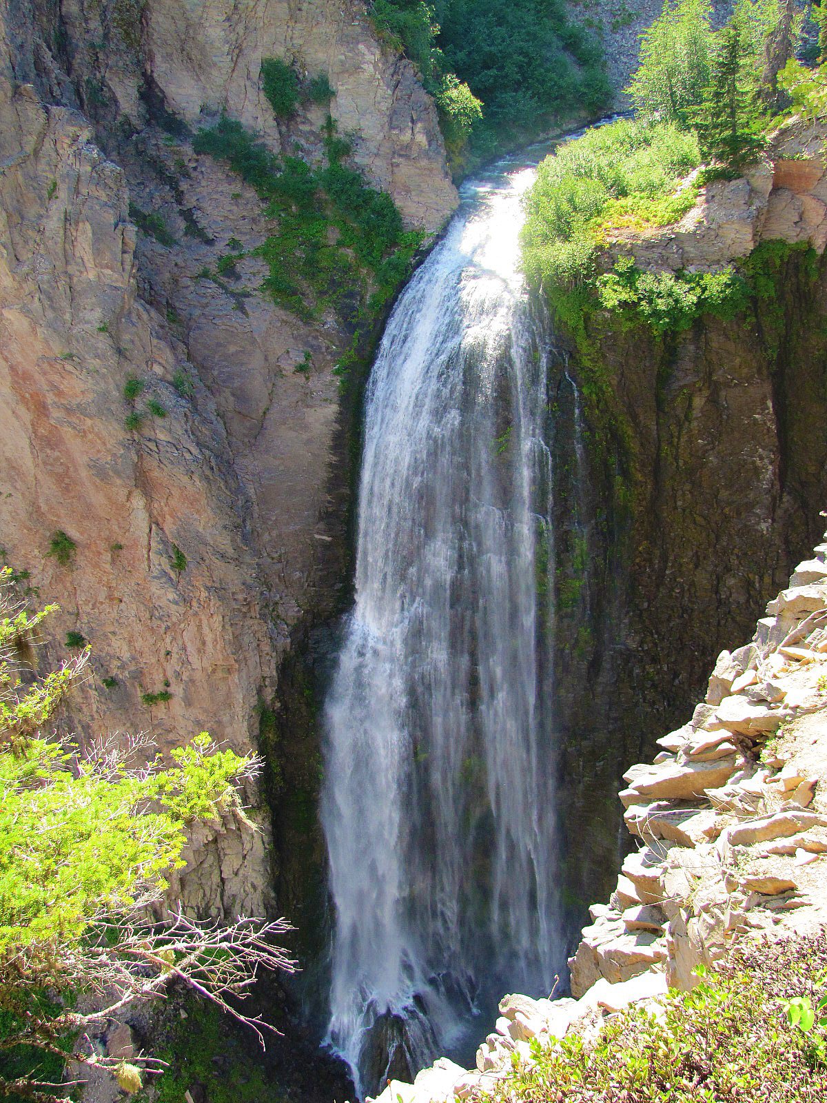
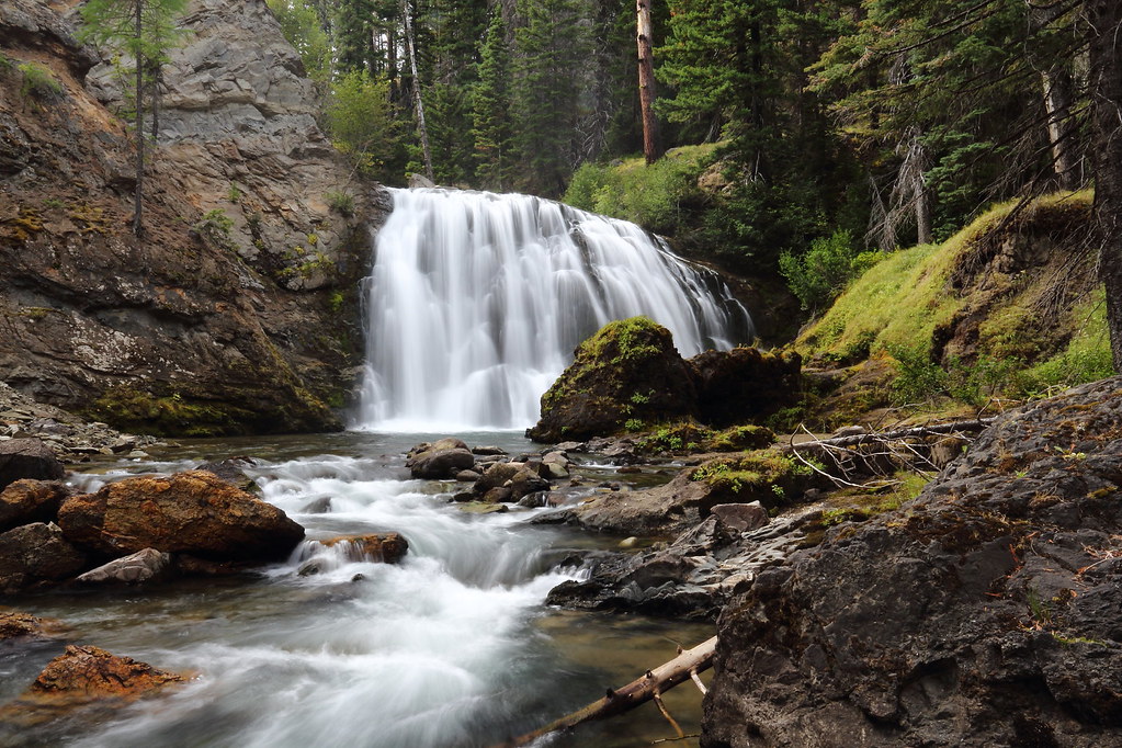
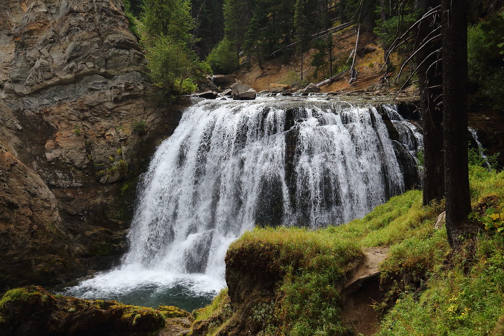
Lower Clear Creek Falls
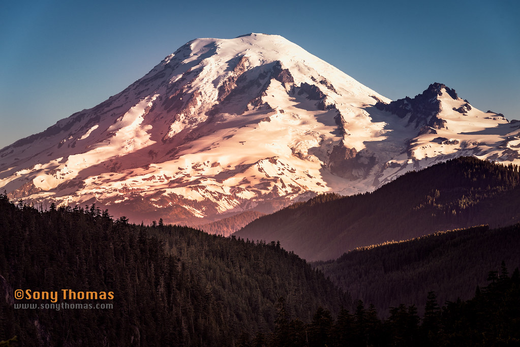
Mount Rainier
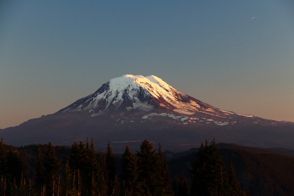
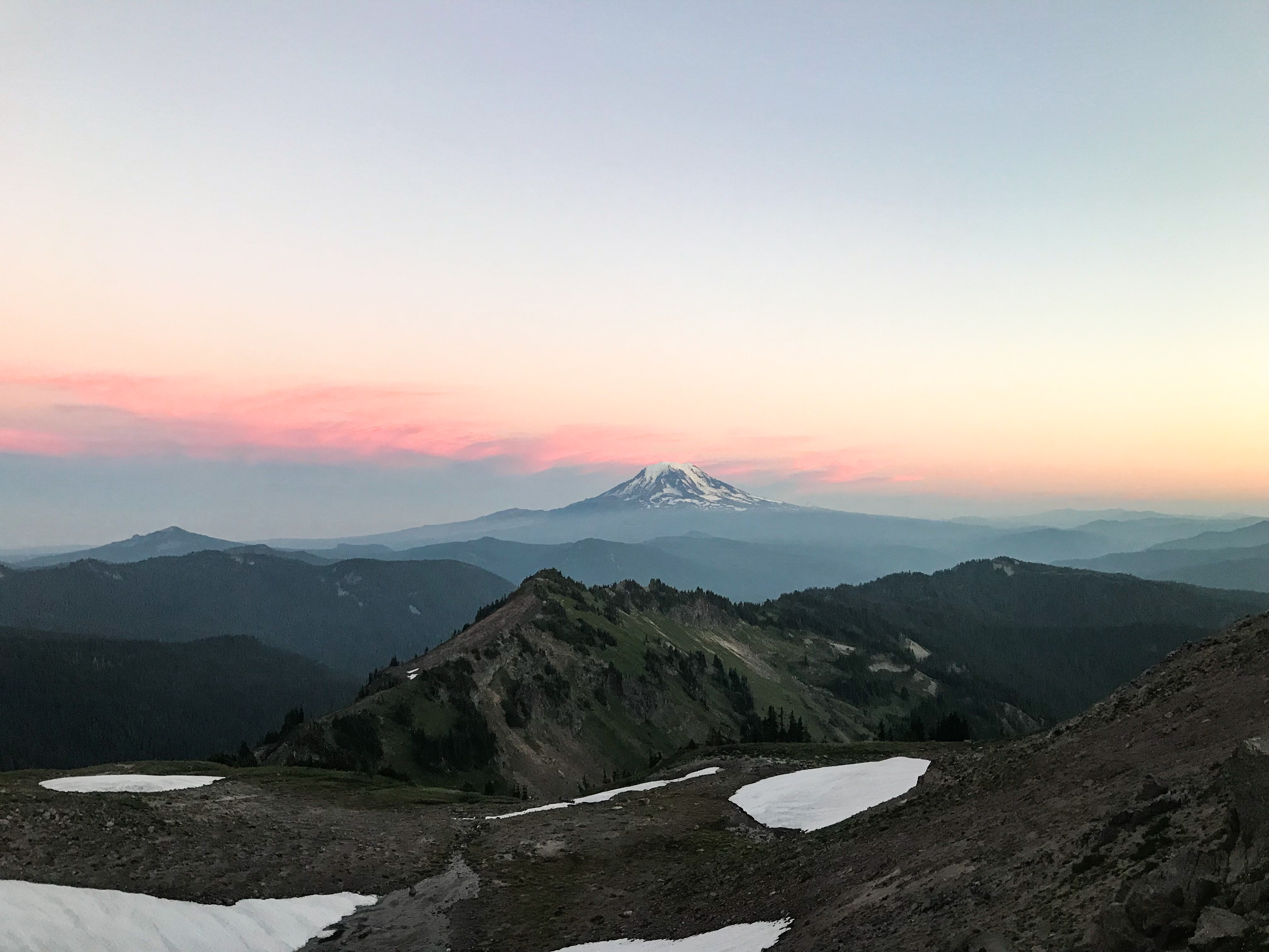
Late evening view of Mt Adams
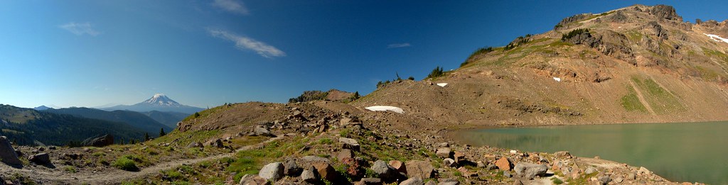
Mt Adams and Goat Lake Panorama

Hogback Ridge, Pacific Crest Trail, Washington, 2017

Mount Rainier from US12, White Pass, Washington, Spring 2017
Views from the Pacific Crest Trail, White Pass, Washington, 2017
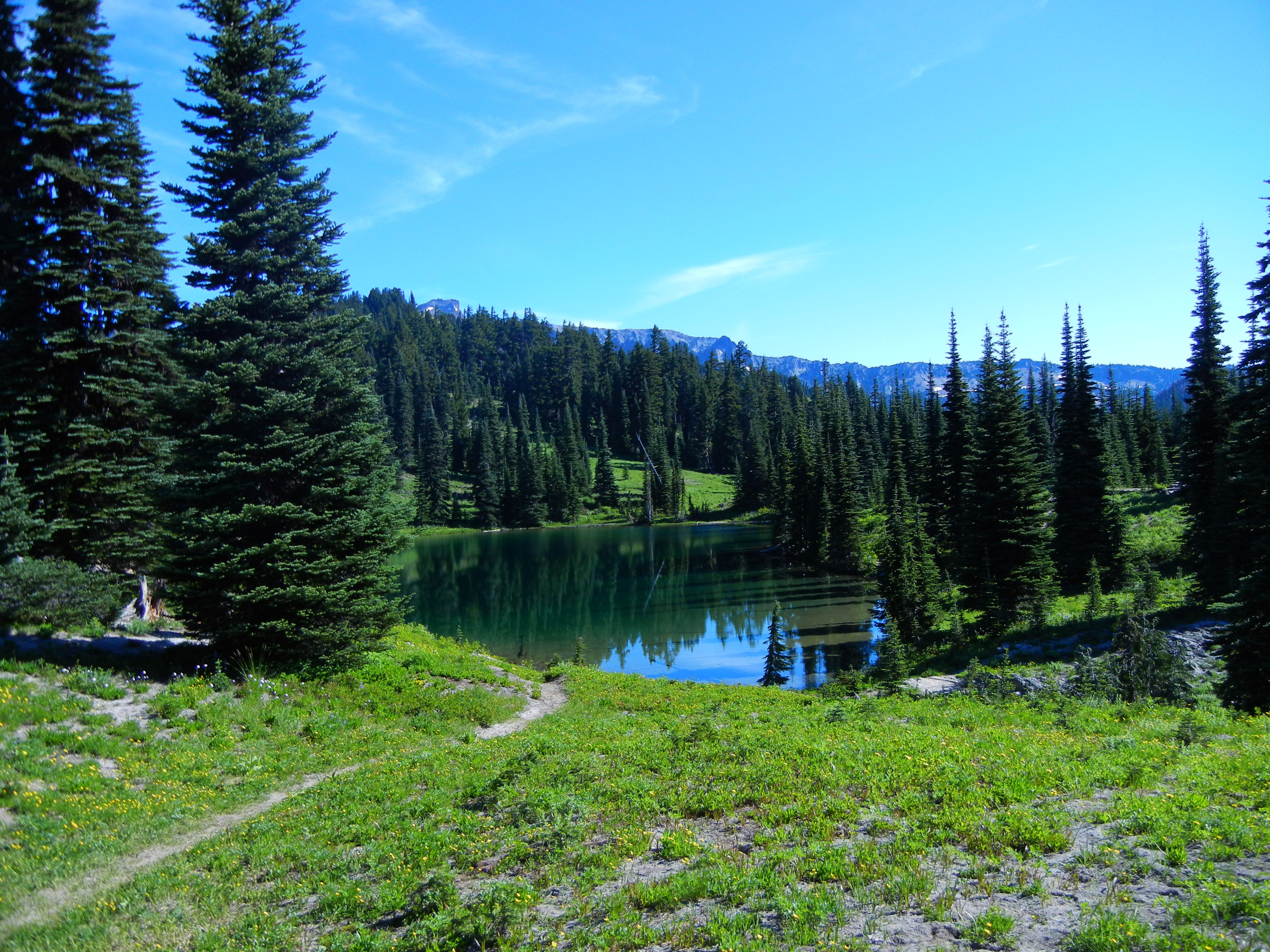
A final view of Sheep Lake, as we head out and back to Nannie Peak Trailhead

Yellow warbler
Lower Clear Creek Falls (Dream version)
IMG_3822 Leech Lake
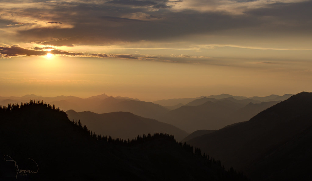
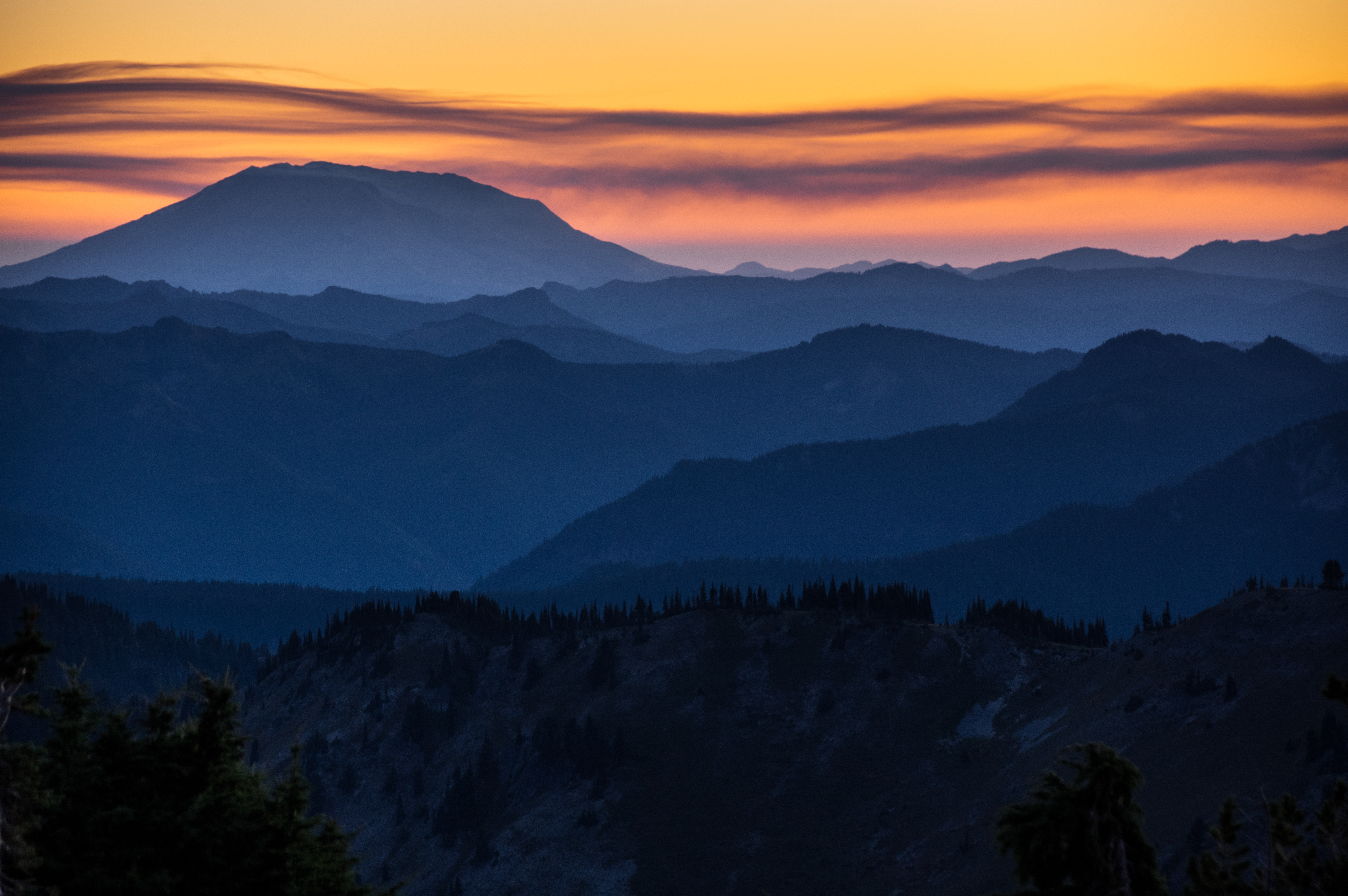
Goat Rocks Sunset
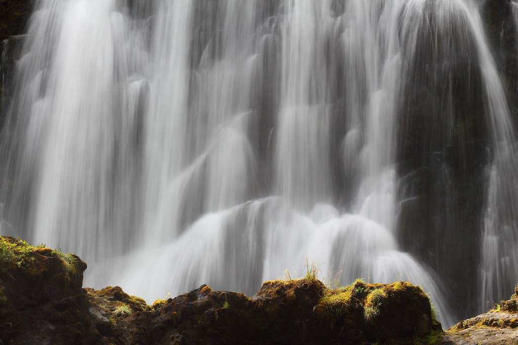
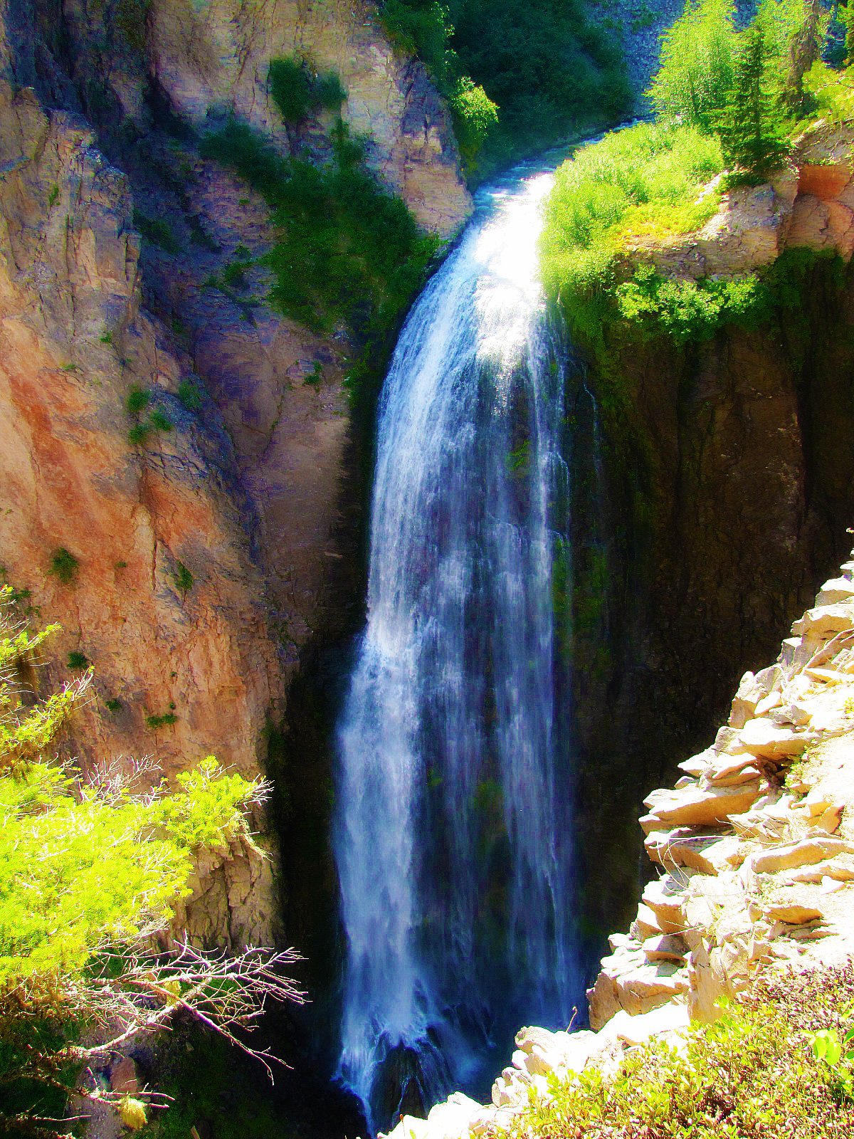
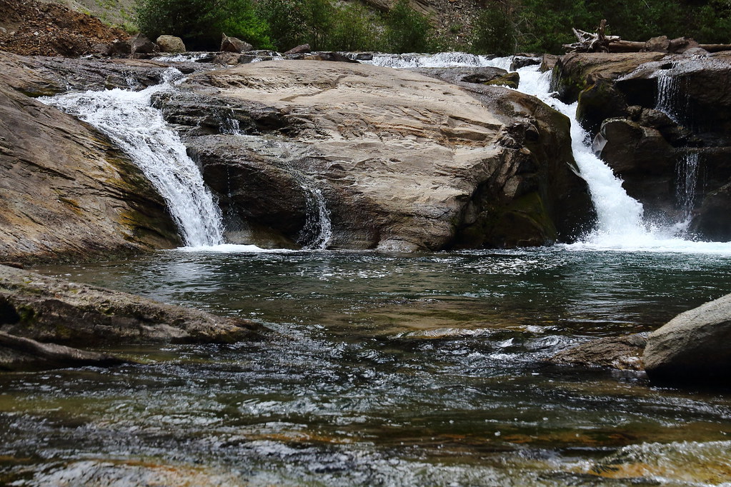
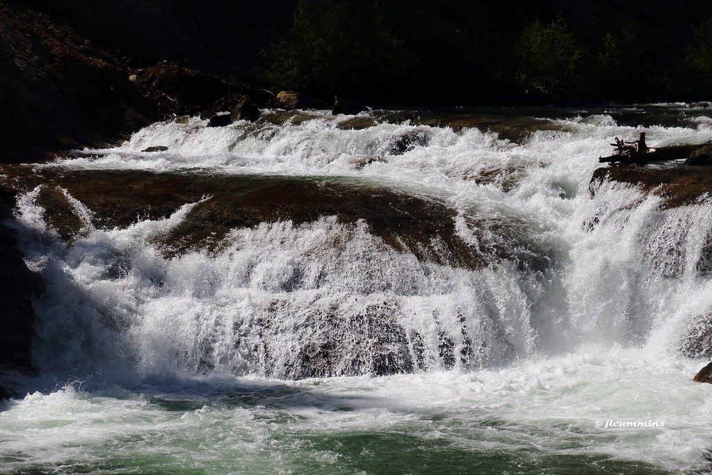
South Fork Falls, up close
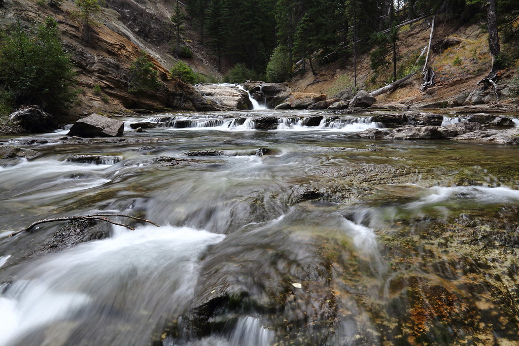
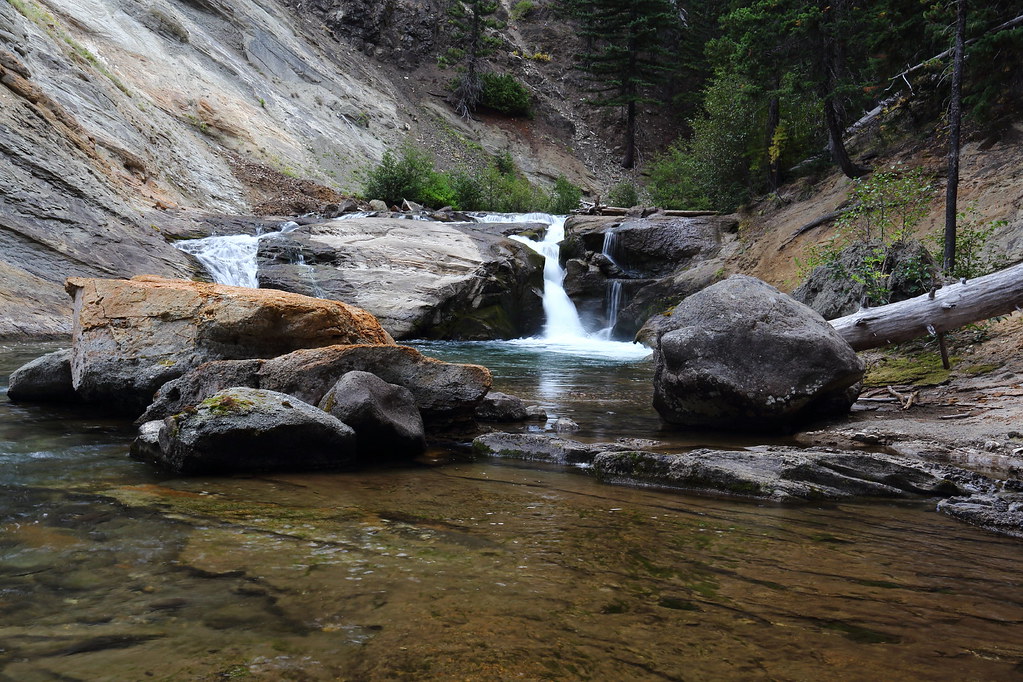
South Fork Tieton River

Goat Rocks Crest From Old Snowy
South Fork Falls

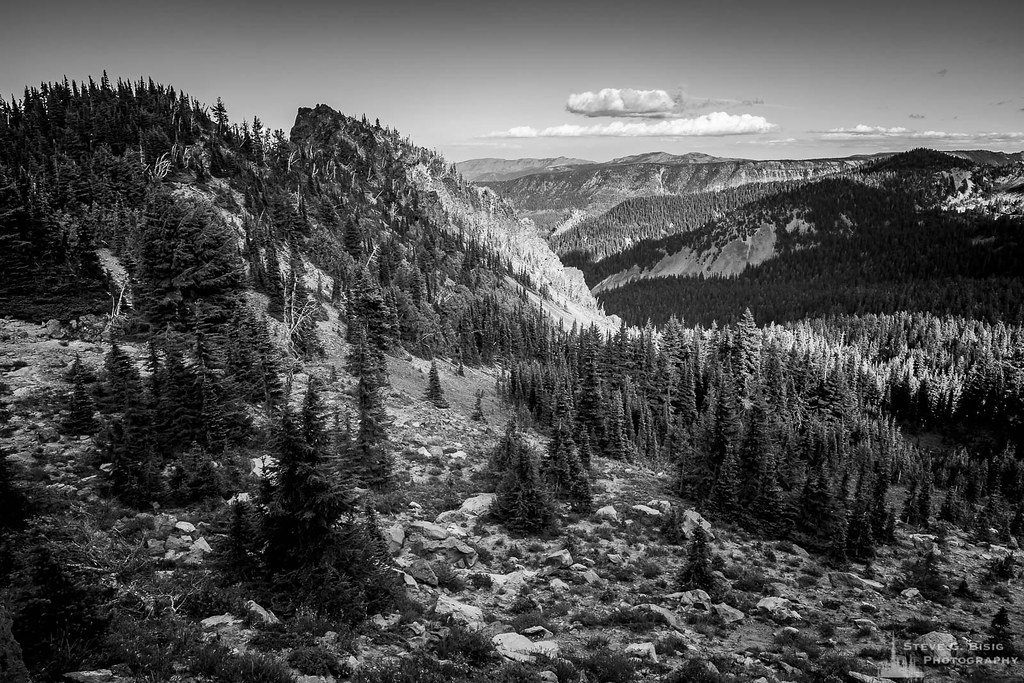
Snow-Covered Hogback Mountain, Washington, Spring 2017
SF Tieton River cascades
SF Tieton River
South Fork Falls
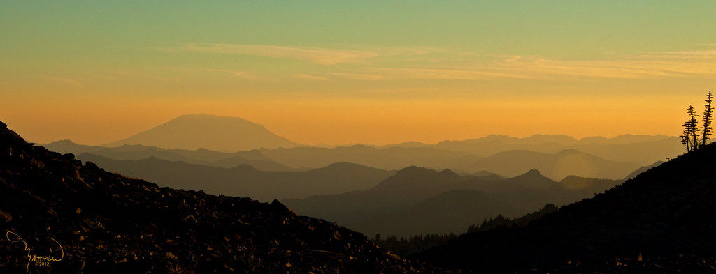
Mt St Helens
Pacific Crest Trail - Snowgrass Trailhead

Clear Fork Cowlitz River Valley, Panorama Washington, Spring 2017
Sunset on Mt. Adams

Walupt Falls
Pacific Crest Trail - Snowgrass Trailhead
Cascade above South Fork Tieton Falls
Topographic Map of Goat Rocks Wilderness, Randle, WA, USA
Find elevation by address:

Places near Goat Rocks Wilderness, Randle, WA, USA:
Hogback Mountain
Chambers Lake Campground
Packwood Lake
Walupt Lake
White Pass
Randle, WA, USA
Packwood Lake Trailhead
La Wis Wis Campground
Packwood Lodge
110 Cascade Dr
Jack Fir Court East
Alderwood Drive
105 Jack Fir Ct E
Jack Fir Court West
Lake Creek Drive
879 Cannon Rd
Riverdance Lane
Burl Ln
Packwood
Alpine Drive
Recent Searches:
- Elevation of Fernwood, Bradenton, FL, USA
- Elevation of Felindre, Swansea SA5 7LU, UK
- Elevation of Leyte Industrial Development Estate, Isabel, Leyte, Philippines
- Elevation of W Granada St, Tampa, FL, USA
- Elevation of Pykes Down, Ivybridge PL21 0BY, UK
- Elevation of Jalan Senandin, Lutong, Miri, Sarawak, Malaysia
- Elevation of Bilohirs'k
- Elevation of 30 Oak Lawn Dr, Barkhamsted, CT, USA
- Elevation of Luther Road, Luther Rd, Auburn, CA, USA
- Elevation of Unnamed Road, Respublika Severnaya Osetiya — Alaniya, Russia