Elevation of Glenwood, NC, USA
Location: United States > North Carolina > Mcdowell County >
Longitude: -81.986206
Latitude: 35.6159111
Elevation: 399m / 1309feet
Barometric Pressure: 97KPa
Elevation Map:
Satellite Map:
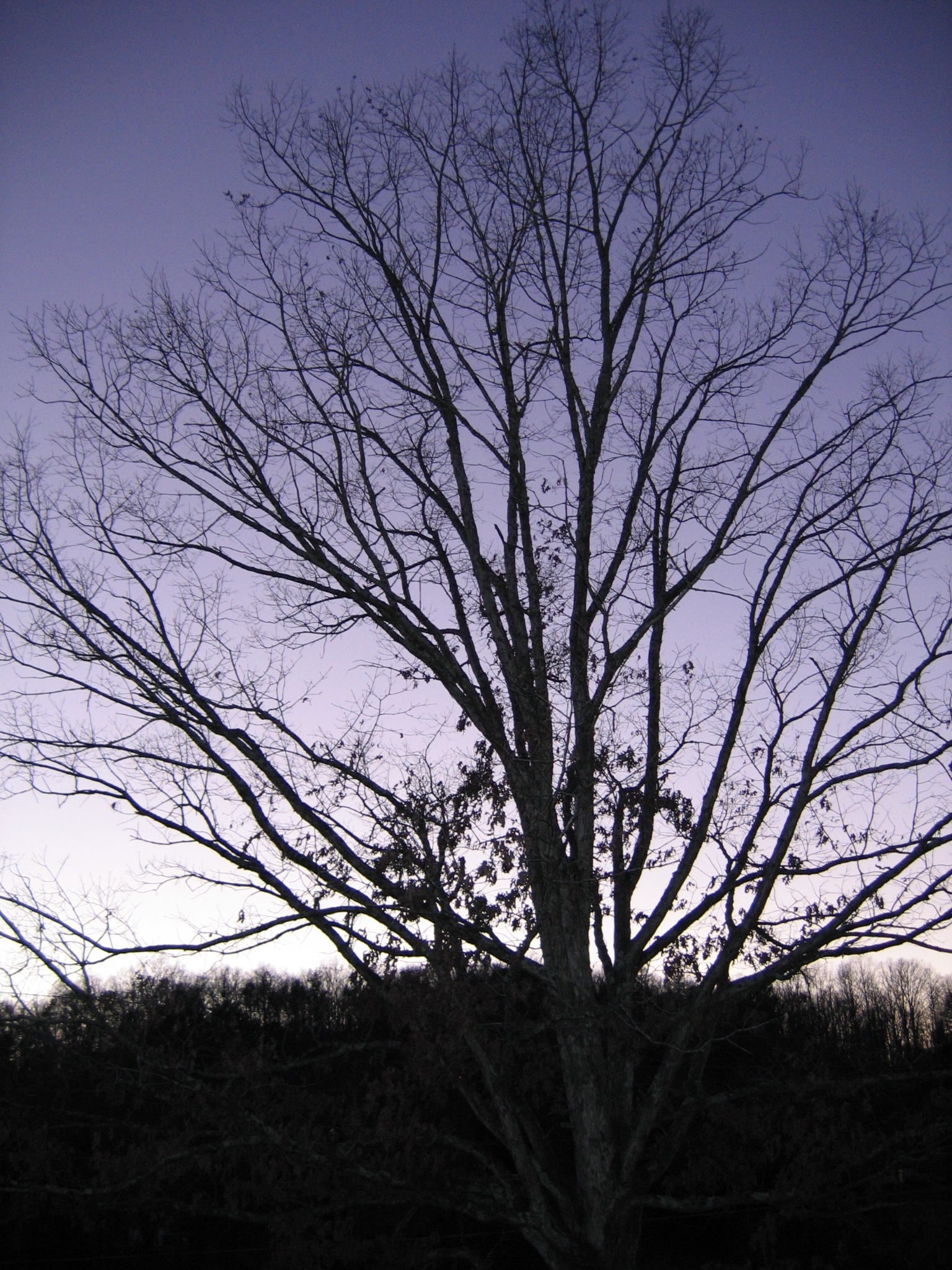
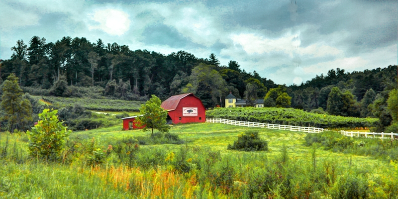
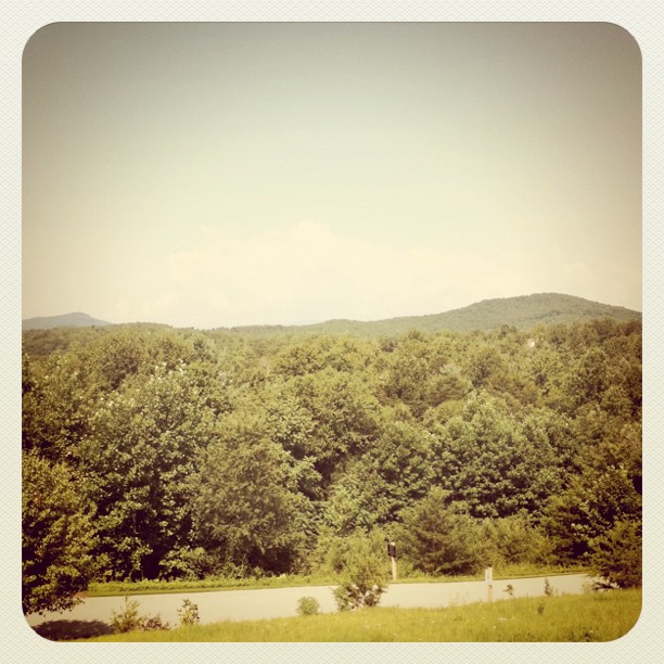
Related Photos:

Silvers Welch Road View (IRG)
The view from Lari's front window

Silvers Welch Road View

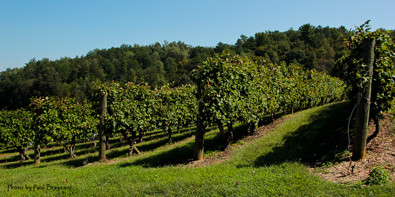
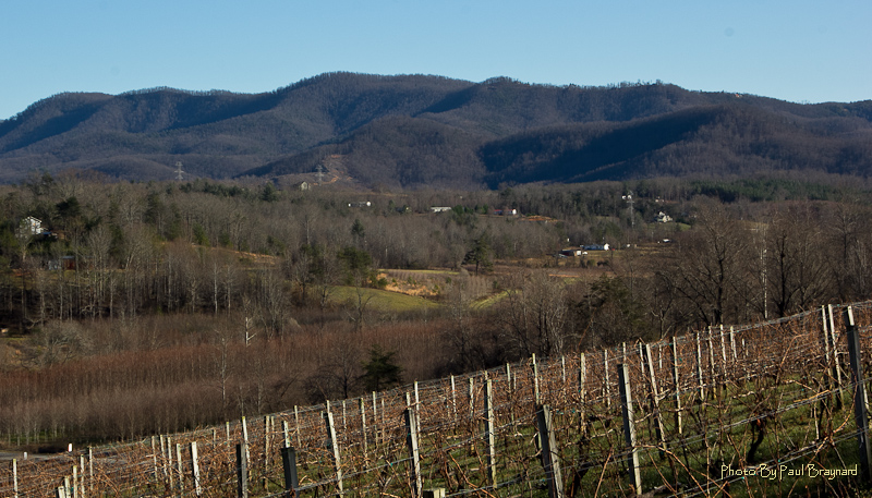
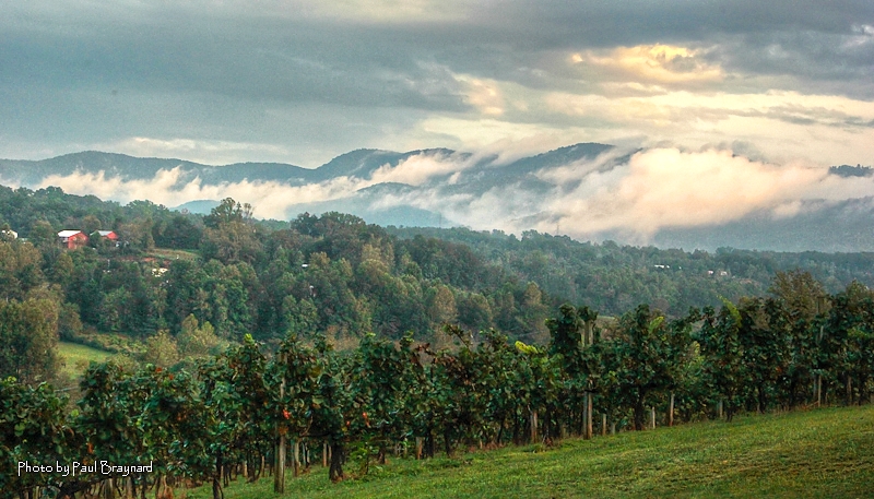
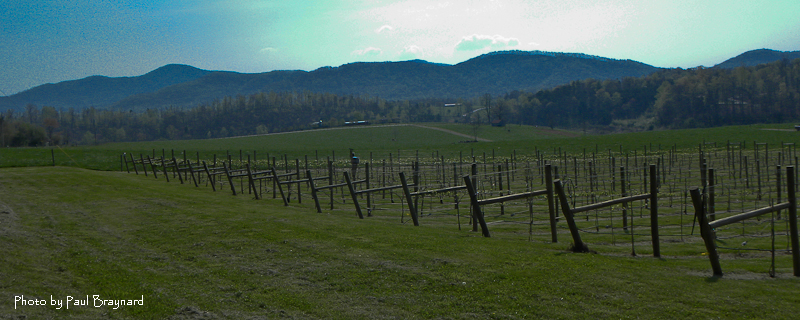
Glorious Grapes

Another view
South Creek View
The view (sans hot topics)
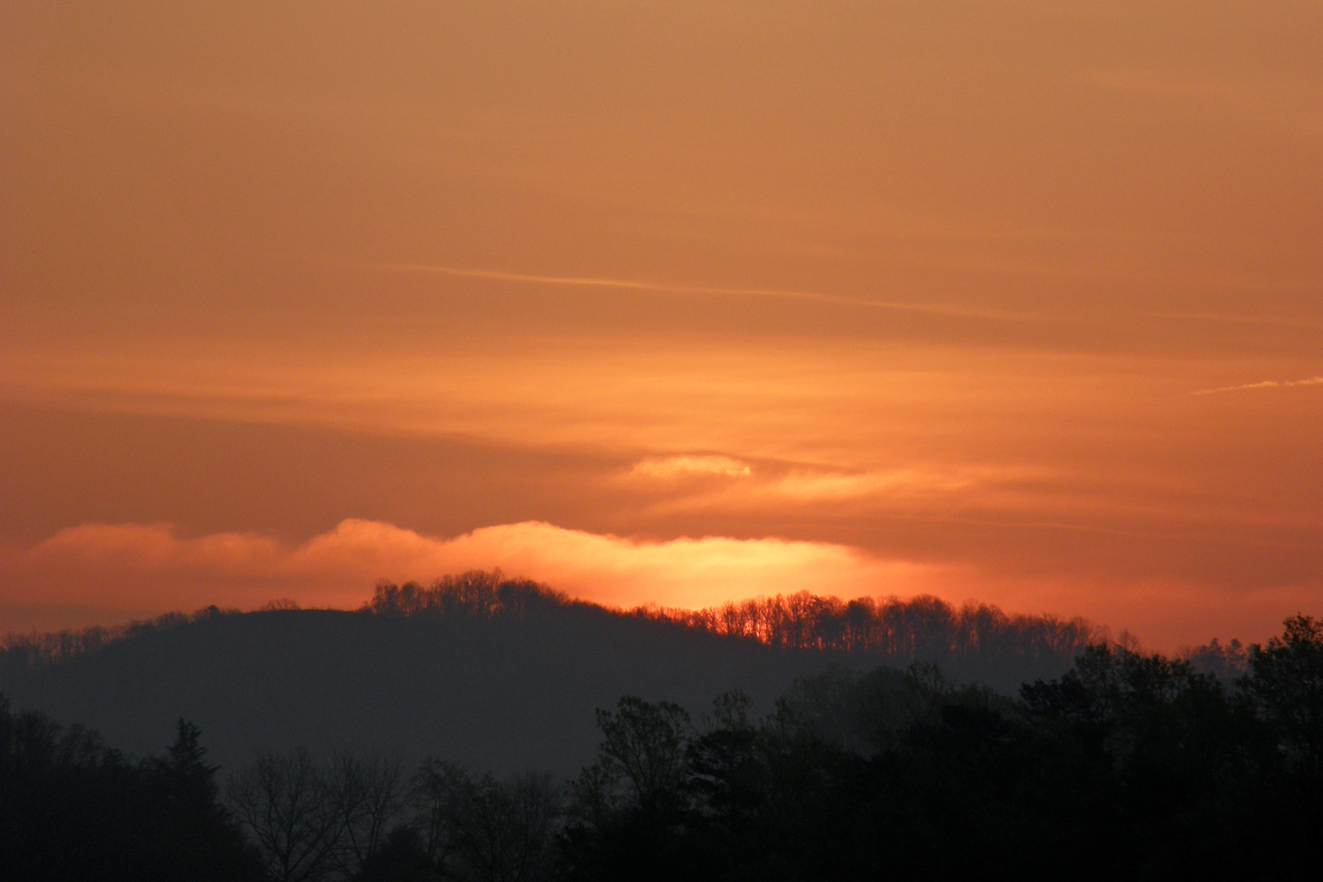
Sunrise 080410
South Creek Vineyard - Tasting Room

Sliver Fork View

Looking toward Climgman's Peak from the Mt. Mitchell summit trail.
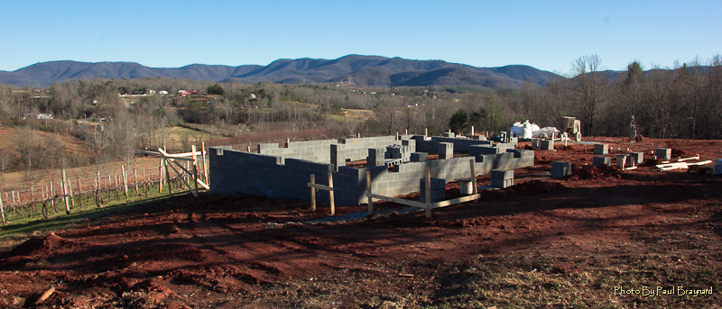
New Vineyard Tasting Room
South Mountain Game Lands

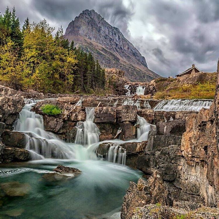
Not a bad view at all and a fun hike. Base of the waterfall at Chimney Rock.
South Creek View

The view from Lari's porch

Lake Tahoma Reflections
Davistown Church Road View
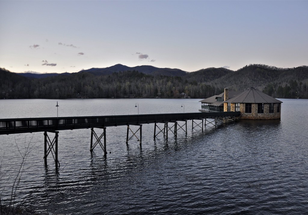
Catawba Dam on Lake James
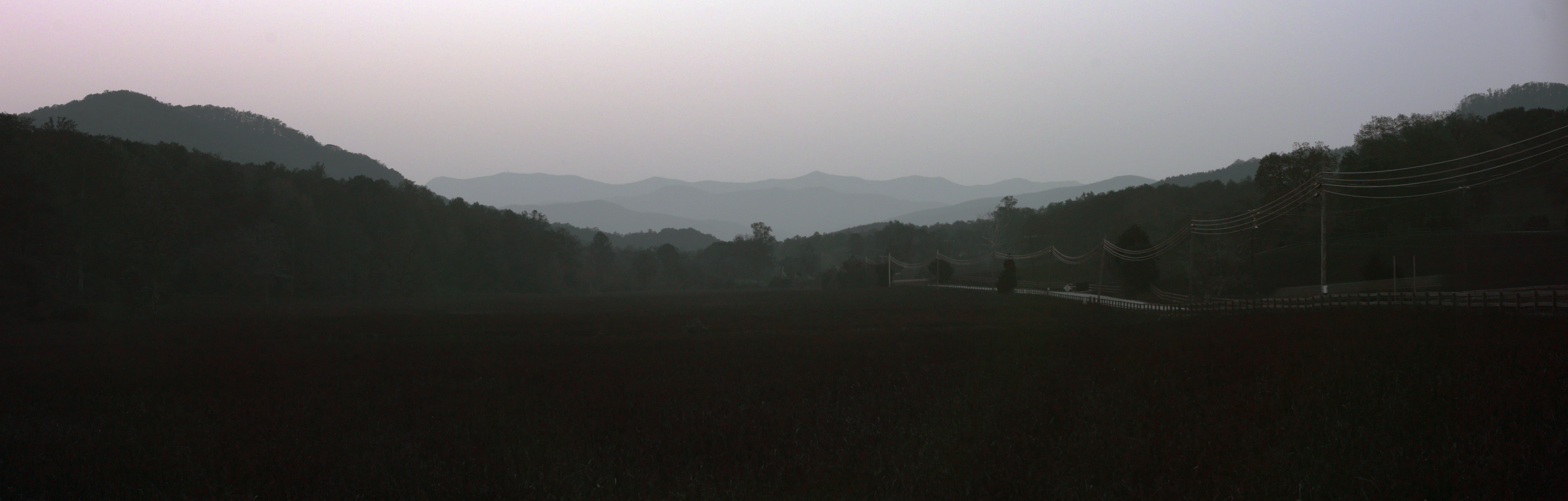
A Clear View Day

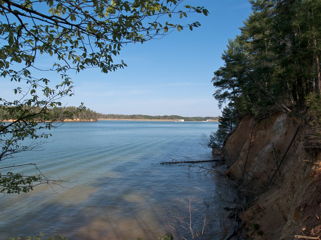
Sandy Cliff Overlook

Train Chase [II]
Need to be here now! #Arvotcm #theCarolinaMechanic #love #TagsForLikes.com #TagsForLikesApp #instagood #smile #follow #cute #photooftheday #tbt #followme #TagsForLikes.com #girl #beautiful #happy #picoftheday #instadaily #swag #amazing #TFLers #fashion #i

Morning light on Camp Grimes

Meep, Meep! #funny #lol #lmao #lmfao #TagsForLikes #hilarious #laugh #laughing #tweegram #fun #friends #photooftheday #friend #wacky #crazy #silly #witty #instahappy #joke #jokes #joking #epic #instagood #instafun #funnypictures #haha #humor
the casino on lake tahoma

August 18-2012-127-1

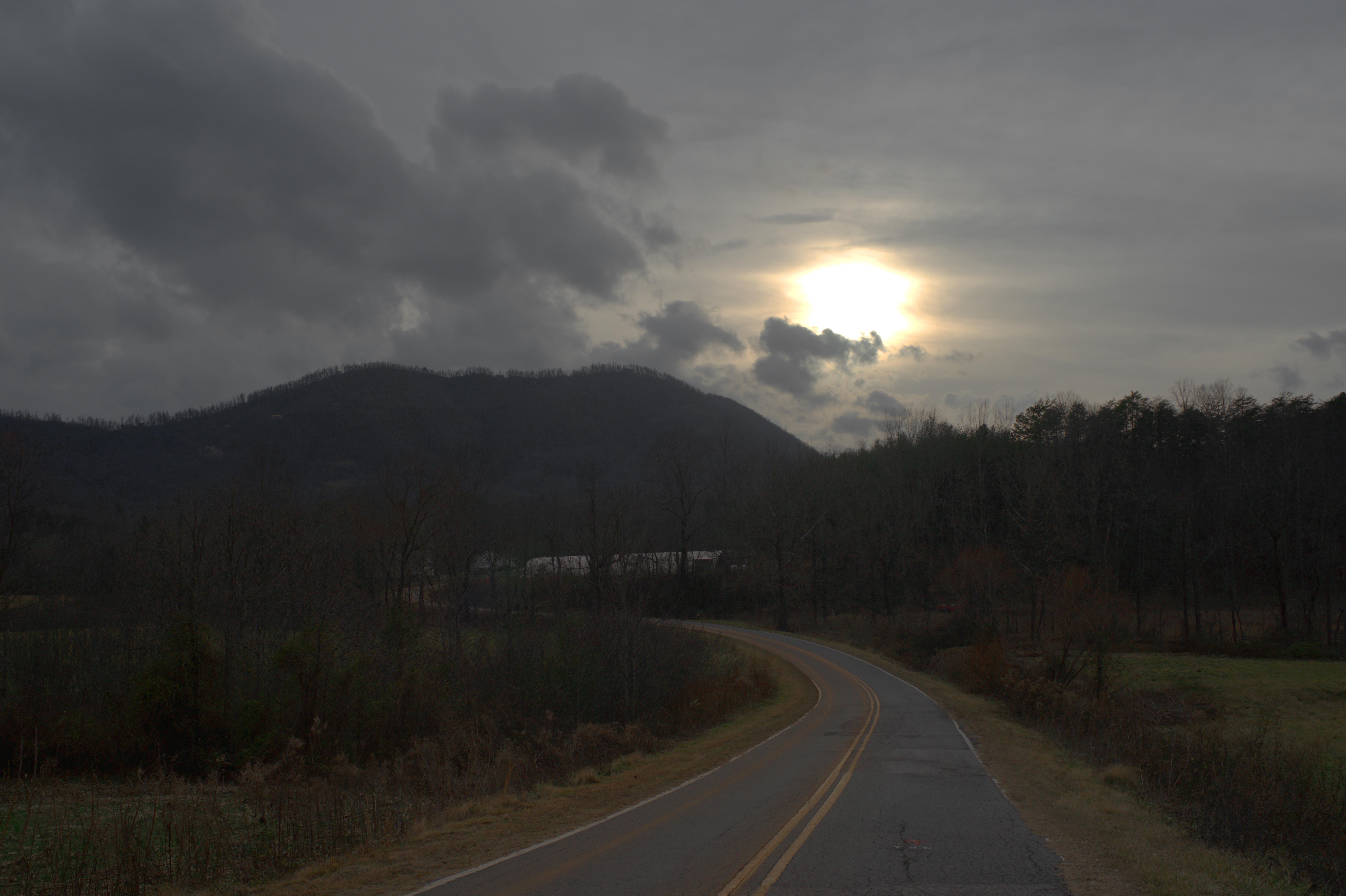
Returning from the Light
Evening at Dink Cannon Junction
A New Day
2012 Sept-29-98-TM

Zoned Out
DeMariano Vineyards

August 18-2012-108-TM

Light Rays Under Cloud

DeMariano Vineyard

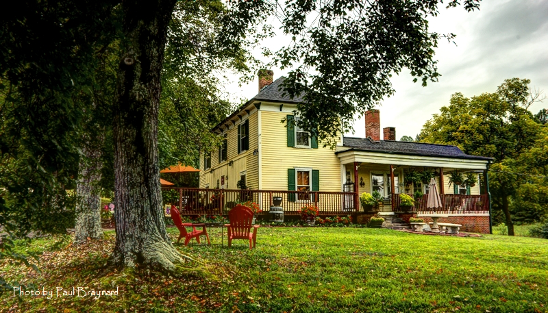
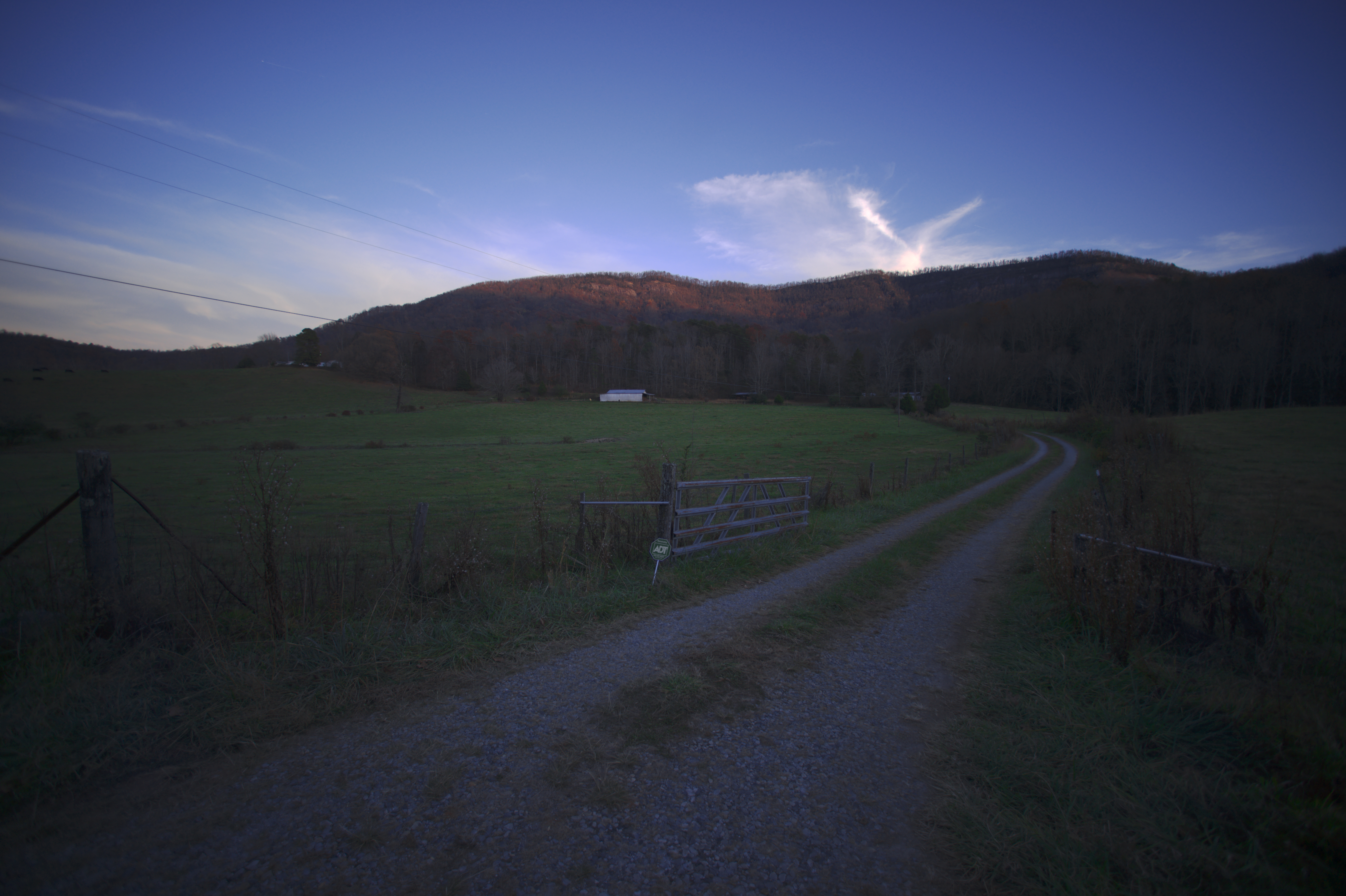
Carolina Country Home
The Way to Victory
Topographic Map of Glenwood, NC, USA
Find elevation by address:

Places in Glenwood, NC, USA:
Places near Glenwood, NC, USA:
5747 Us-221
335 Wilson Valley Dr
16 White Oak Dr
203 Mud Cut Loop
158 Smoky Mountain Dr
388 Mount Pleasant Church Rd
364 Shadow Dr
739 Mccanless Creek Dr S
62 Arrowood Dr, Marion, NC, USA
2392 Grants Mountain Rd
1664 Mountain Crest Dr S
25 Southview Ct
Mountain Crest Drive South
1327 Mountain Crest Dr S
208 Robin Dr
311 Old Glenwood Rd
1331 Bethel Church Rd
1218 Spooky Hollow Rd
2431 Nc-226
222 Love Dr
Recent Searches:
- Elevation of Rojo Ct, Atascadero, CA, USA
- Elevation of Flagstaff Drive, Flagstaff Dr, North Carolina, USA
- Elevation of Avery Ln, Lakeland, FL, USA
- Elevation of Woolwine, VA, USA
- Elevation of Lumagwas Diversified Farmers Multi-Purpose Cooperative, Lumagwas, Adtuyon, RV32+MH7, Pangantucan, Bukidnon, Philippines
- Elevation of Homestead Ridge, New Braunfels, TX, USA
- Elevation of Orchard Road, Orchard Rd, Marlborough, NY, USA
- Elevation of 12 Hutchinson Woods Dr, Fletcher, NC, USA
- Elevation of Holloway Ave, San Francisco, CA, USA
- Elevation of Norfolk, NY, USA