Elevation of Glenway Dr, Statesville, NC, USA
Location: United States > North Carolina > Iredell County > Statesville >
Longitude: -80.867461
Latitude: 35.8095891
Elevation: 247m / 810feet
Barometric Pressure: 98KPa
Elevation Map:
Satellite Map:
Related Photos:

Rest Area Construction

Field of Sunflowers
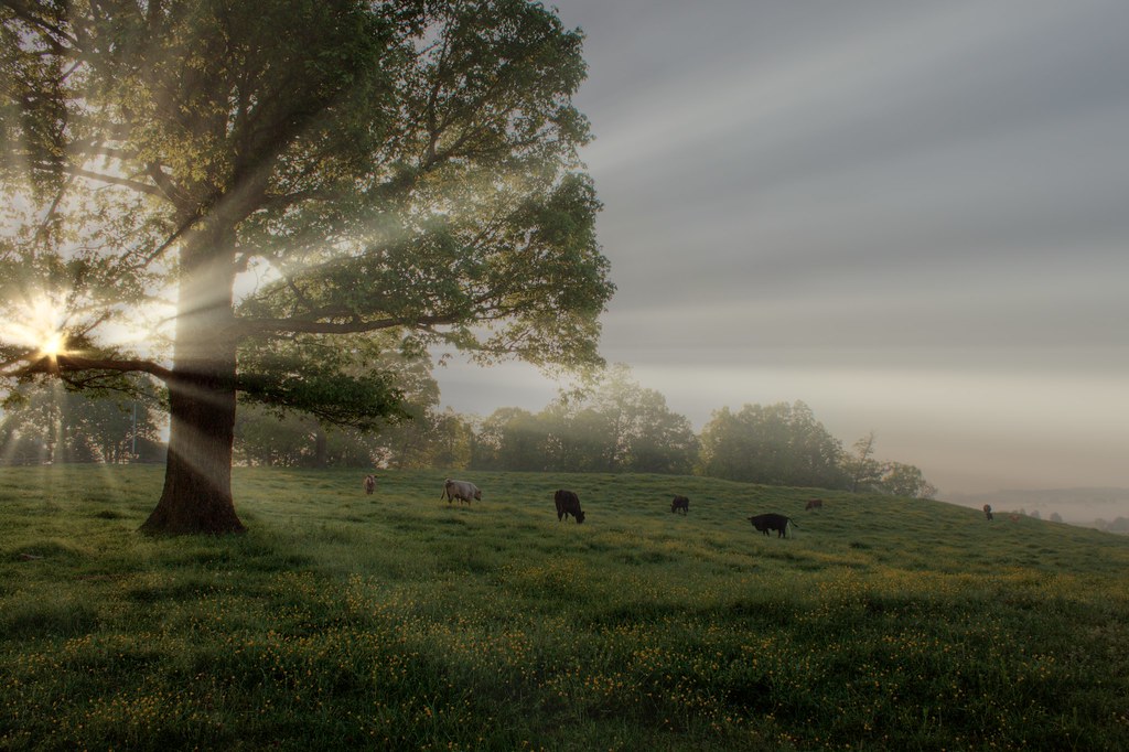
Cows in the buttercups in the fog of morning (HDR)

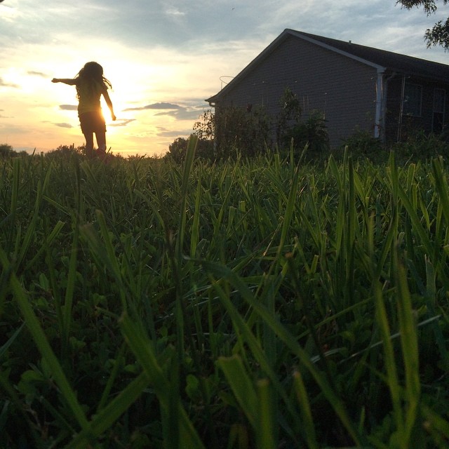
Backyard.

I guess another storm is coming.

Barbed wire.

Crowded Sky
#chasingsunsets

Hello! My name is 212

Lakewood Park

2012-Oct-16-18-1

Fort Dobbs, North Carolina, USA
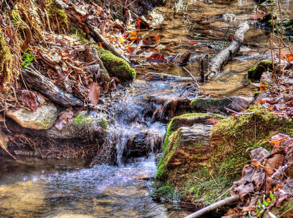
Cool Spring (HDR)
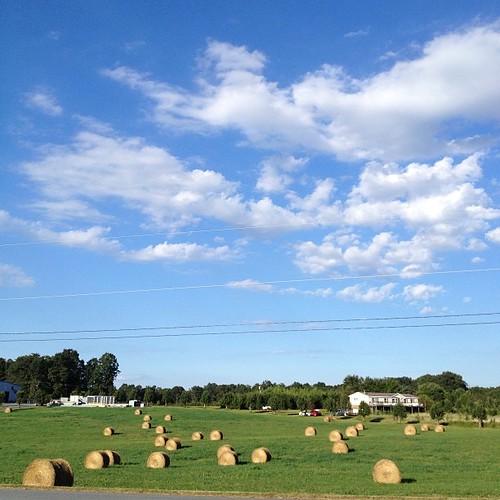
There's just something about blue skies and hay bales that make me want to capture a photo. #nc #ncwx #wx #bluesky #clouds

2012-Oct-16-36-1

All Heads Will Bow

separated at birth.

July 24-25-2012-61-1

hay in field

NC IV

One last look at my folks house before moving
Topographic Map of Glenway Dr, Statesville, NC, USA
Find elevation by address:

Places near Glenway Dr, Statesville, NC, USA:
Crossroads Dr, Statesville, NC, USA
Mt Vernon Ave, Statesville, NC, USA
714 Stockton St
123 Birdsey St
818 E Sharpe St
645 Holland Dr
121 Shumaker Dr
121 Shumaker Dr
402 N Center St
160 May Dr
187 Natures Trail
Statesville
Macon Dr, Statesville, NC, USA
Iredell County
422 W Front St
105 Canopy Oak Ln
105 Canopy Oak Ln
105 Canopy Oak Ln
105 Canopy Oak Ln
Bethany
Recent Searches:
- Elevation of Pykes Down, Ivybridge PL21 0BY, UK
- Elevation of Jalan Senandin, Lutong, Miri, Sarawak, Malaysia
- Elevation of Bilohirs'k
- Elevation of 30 Oak Lawn Dr, Barkhamsted, CT, USA
- Elevation of Luther Road, Luther Rd, Auburn, CA, USA
- Elevation of Unnamed Road, Respublika Severnaya Osetiya — Alaniya, Russia
- Elevation of Verkhny Fiagdon, North Ossetia–Alania Republic, Russia
- Elevation of F. Viola Hiway, San Rafael, Bulacan, Philippines
- Elevation of Herbage Dr, Gulfport, MS, USA
- Elevation of Lilac Cir, Haldimand, ON N3W 2G9, Canada