Elevation of Glenora, BC V0J, Canada
Location: Canada > British Columbia > Kitimat-stikine > Kitimat-stikine D >
Longitude: -131.38669
Latitude: 57.837863
Elevation: 157m / 515feet
Barometric Pressure: 99KPa
Elevation Map:
Satellite Map:
Related Photos:
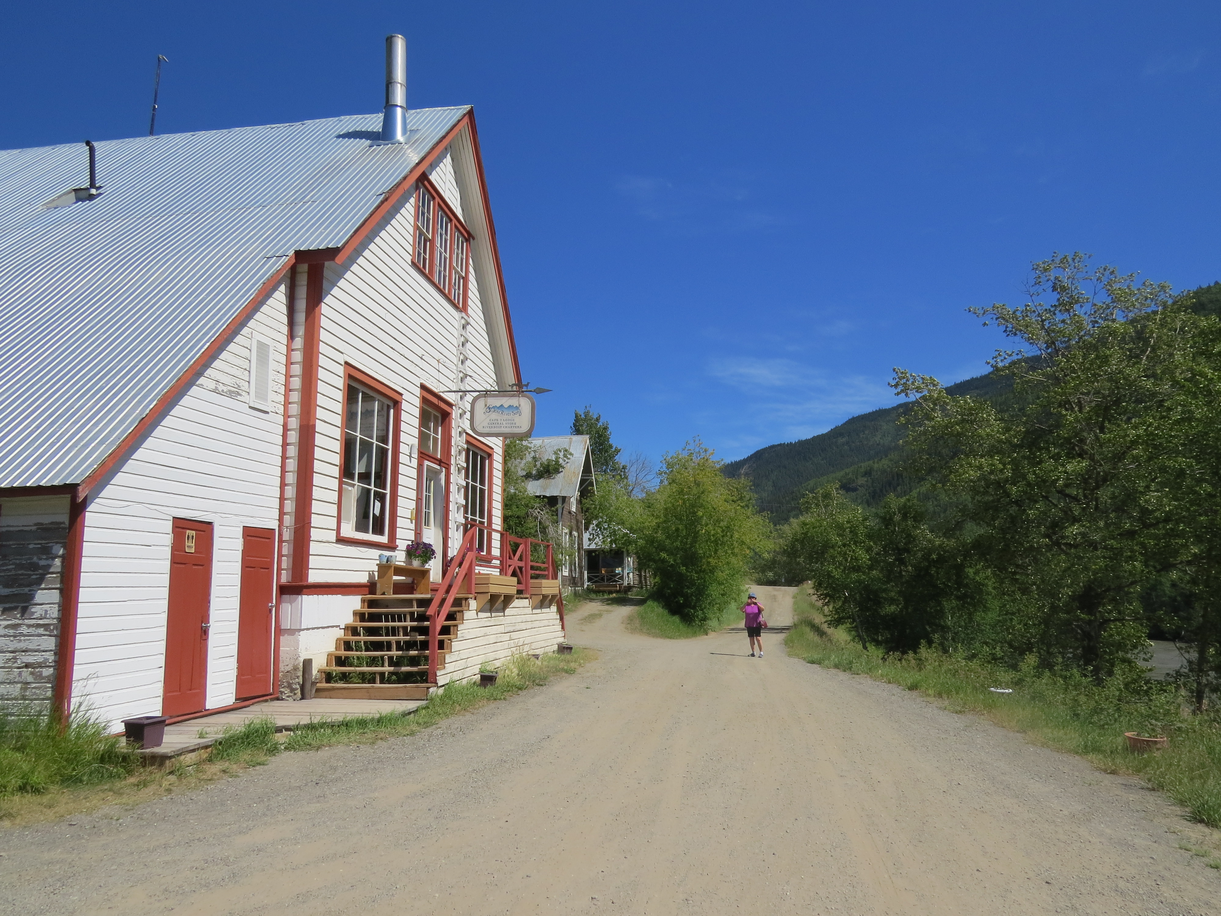
View of Stikine Street in downtown Telegraph Creek, British Columbia, Canada - part 1
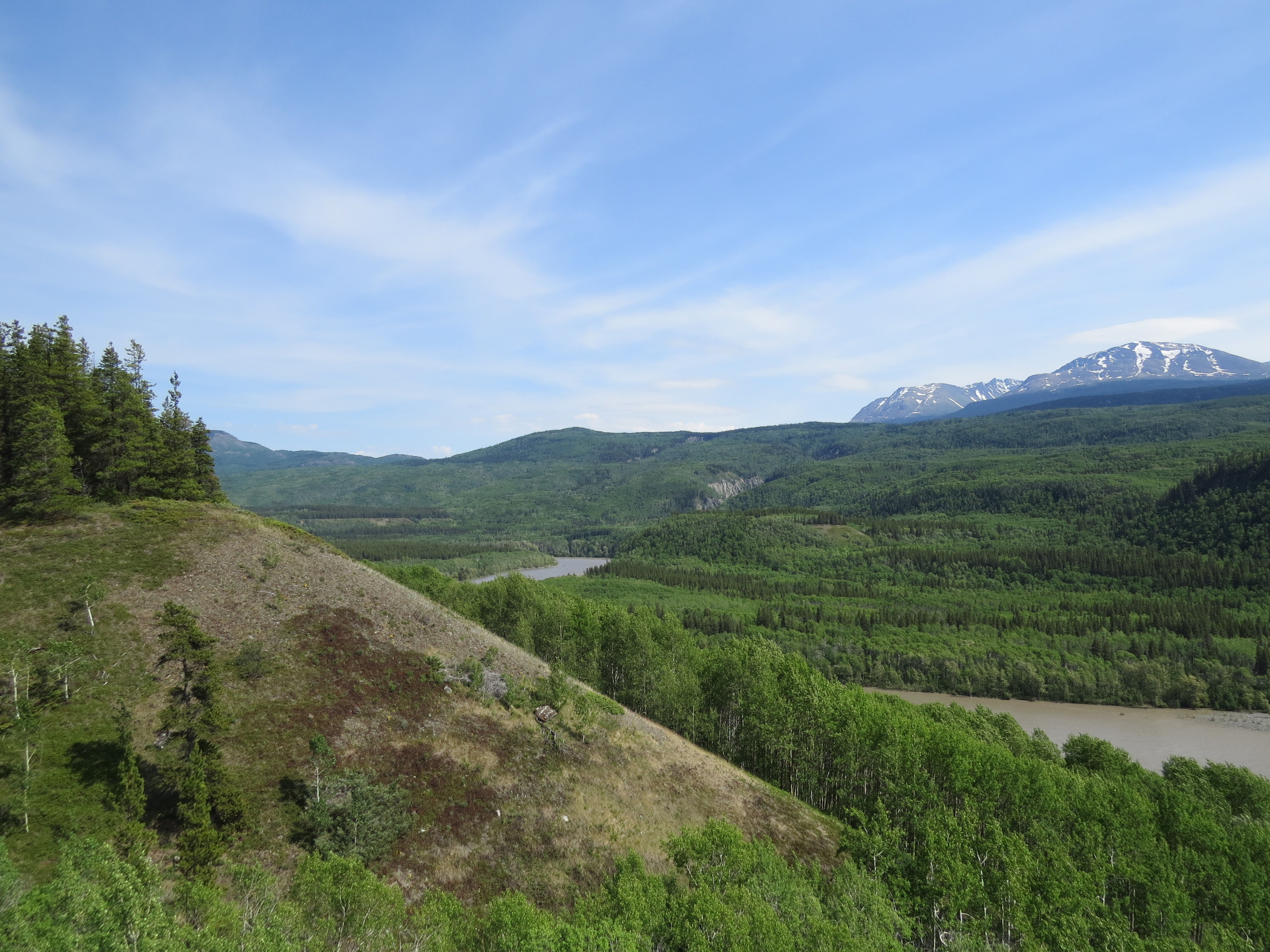
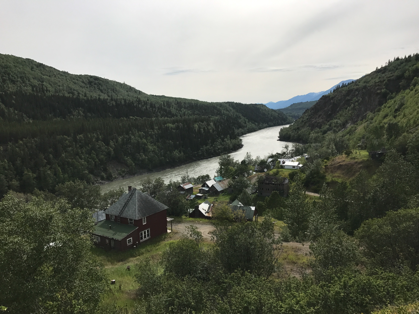
A scenic view of the Stikine River west of Telegraph Creek - part 1
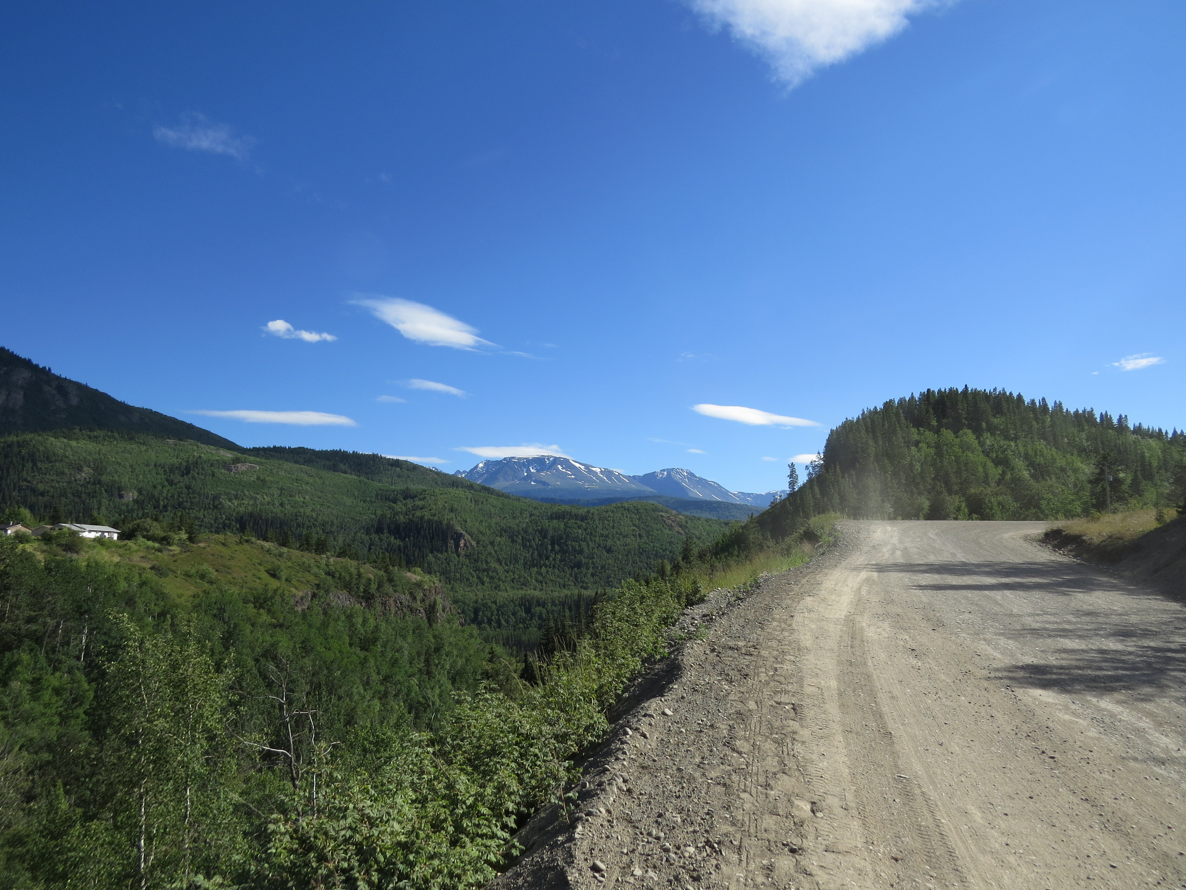
Grenola Road in Telegraph Creek, British Columbia, Canada
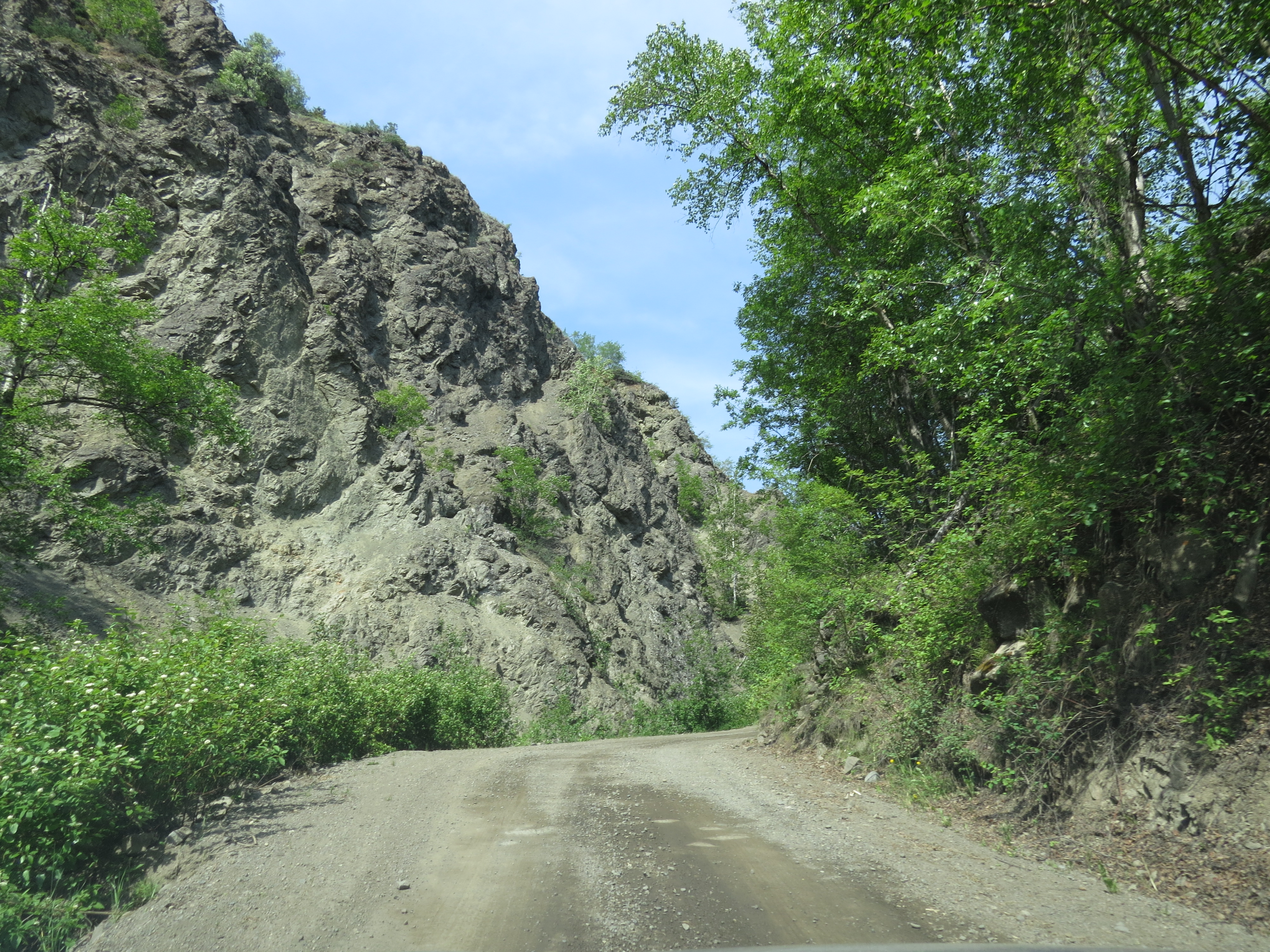
Driving up a VERY steep hill near downtown Telegraph Creek, BC
Alkan2017-135
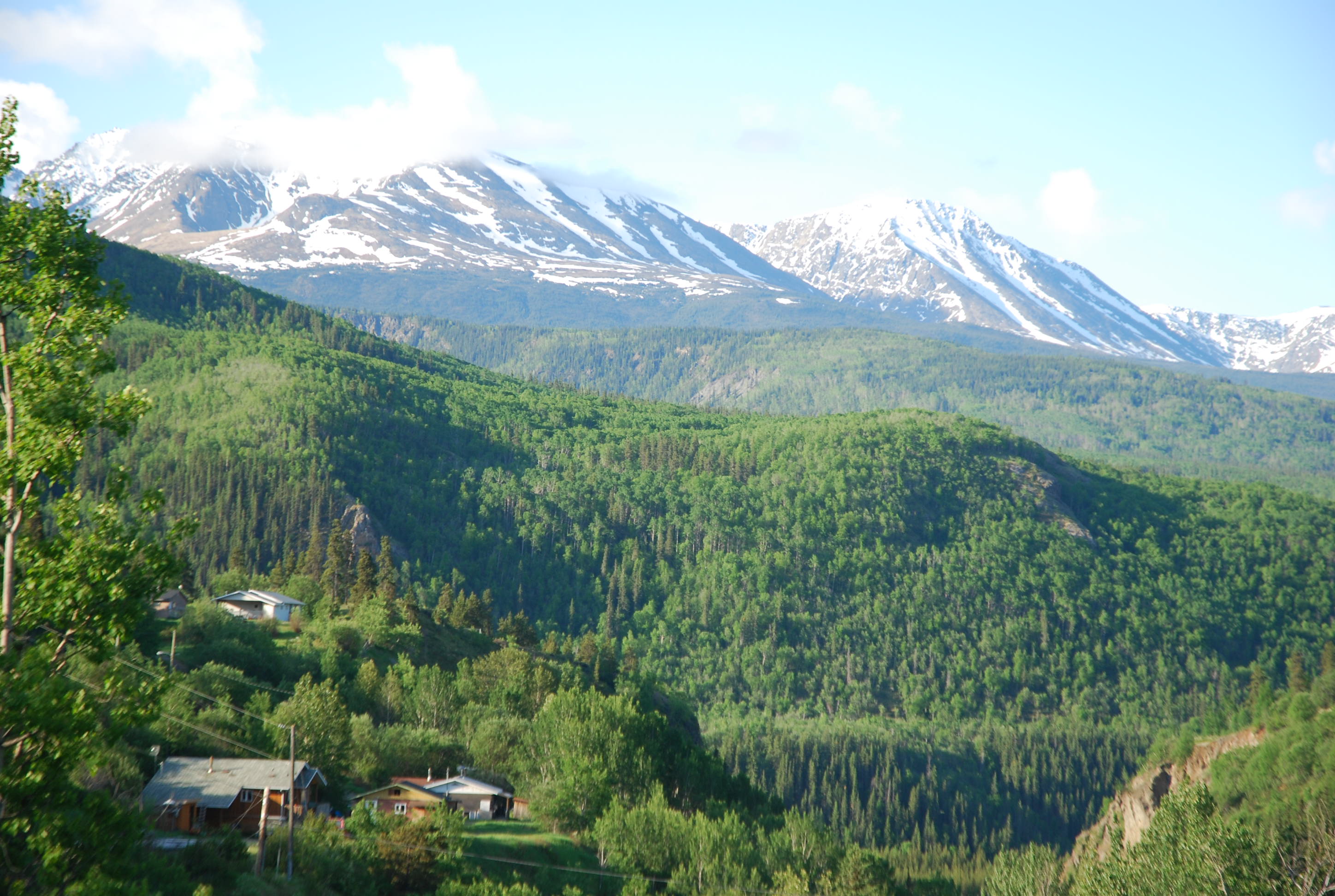
Stingy Mountain
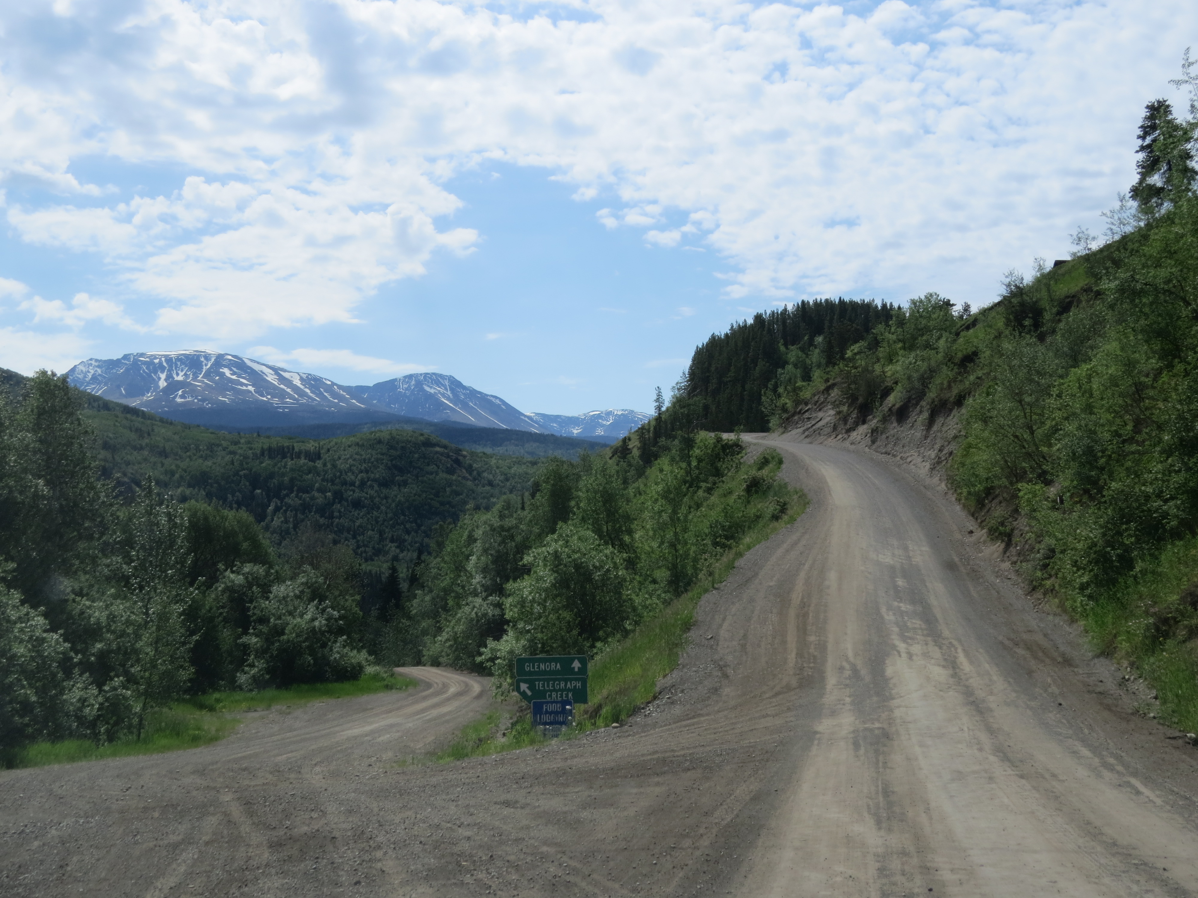
Go straight ahead to Glenora, or turn left to downtown Telegraph Creek
Residential houses in Telegraph Creek, British Columbia, Canada
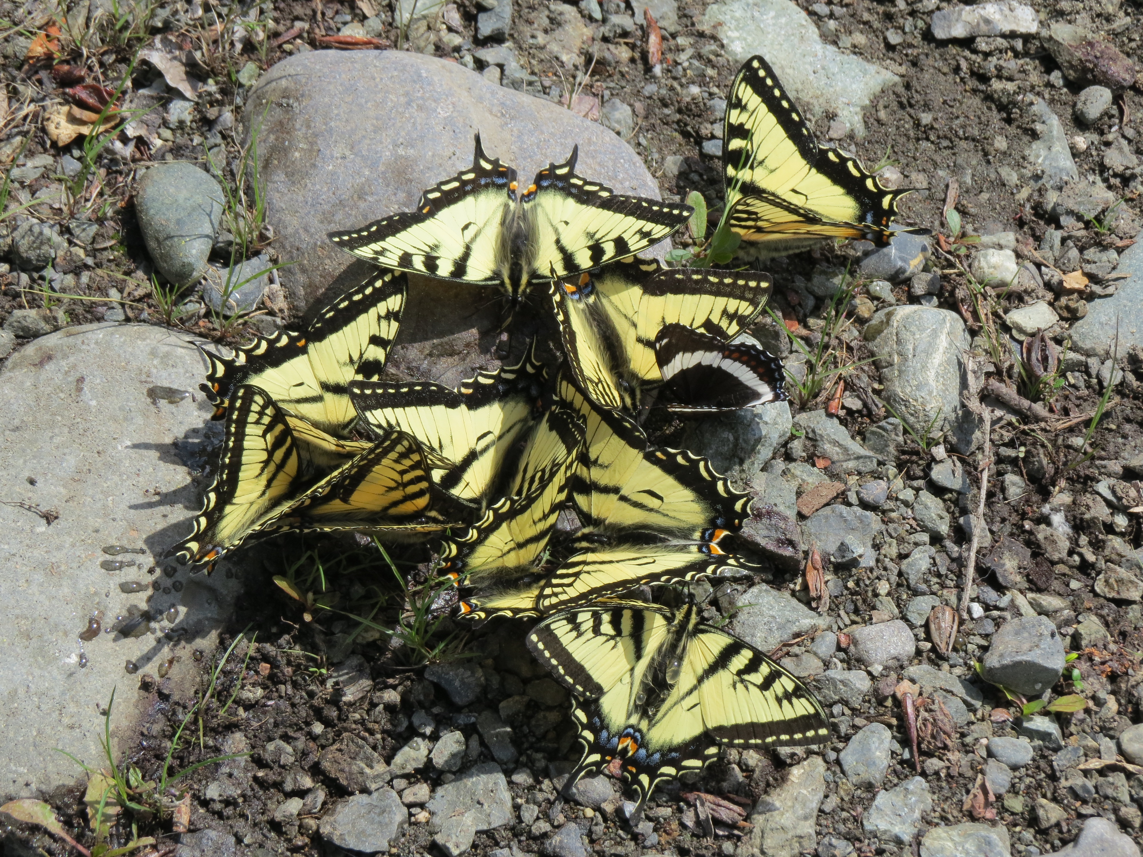
A butterfly convention on shore of the Stikine River
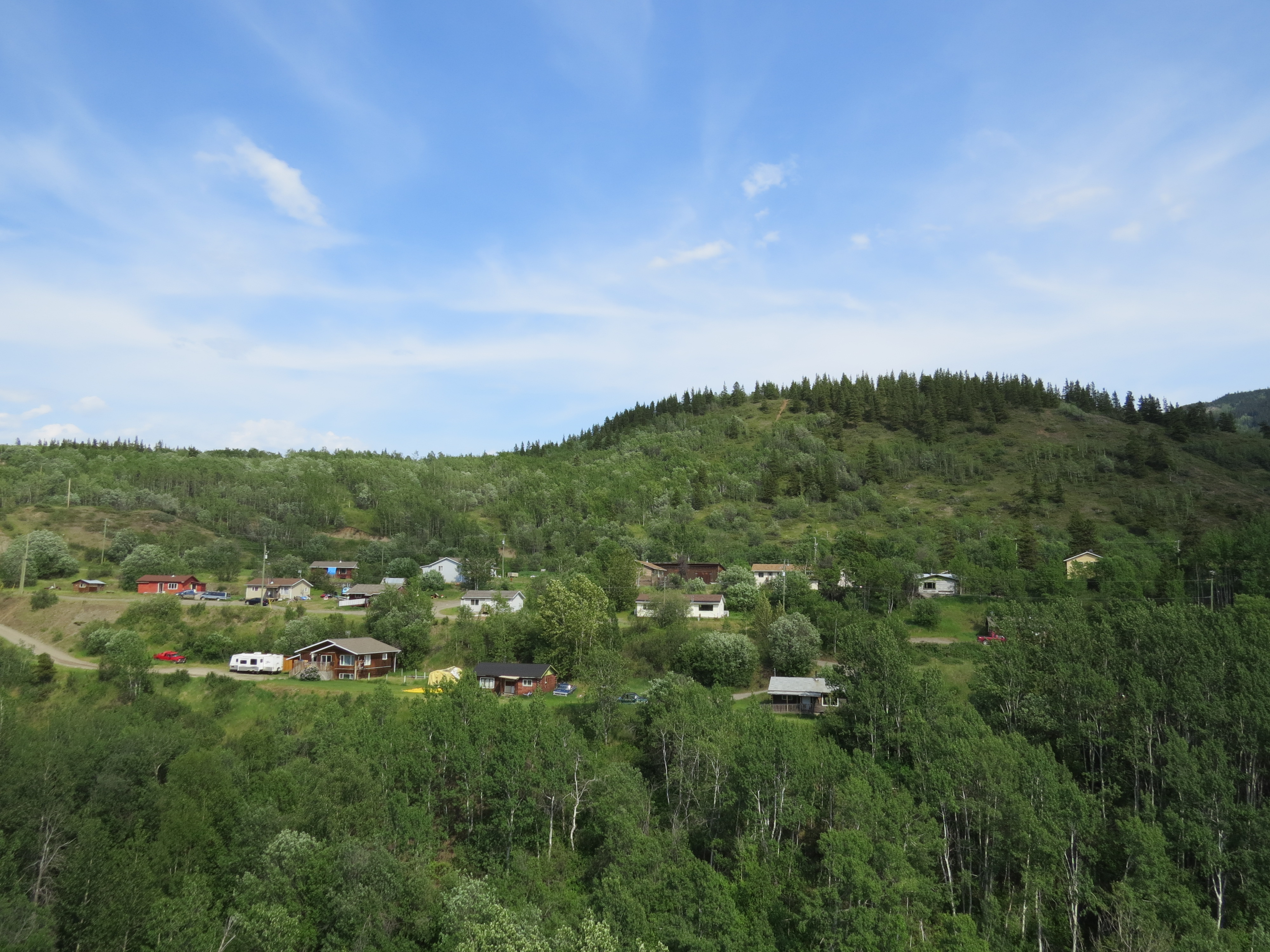
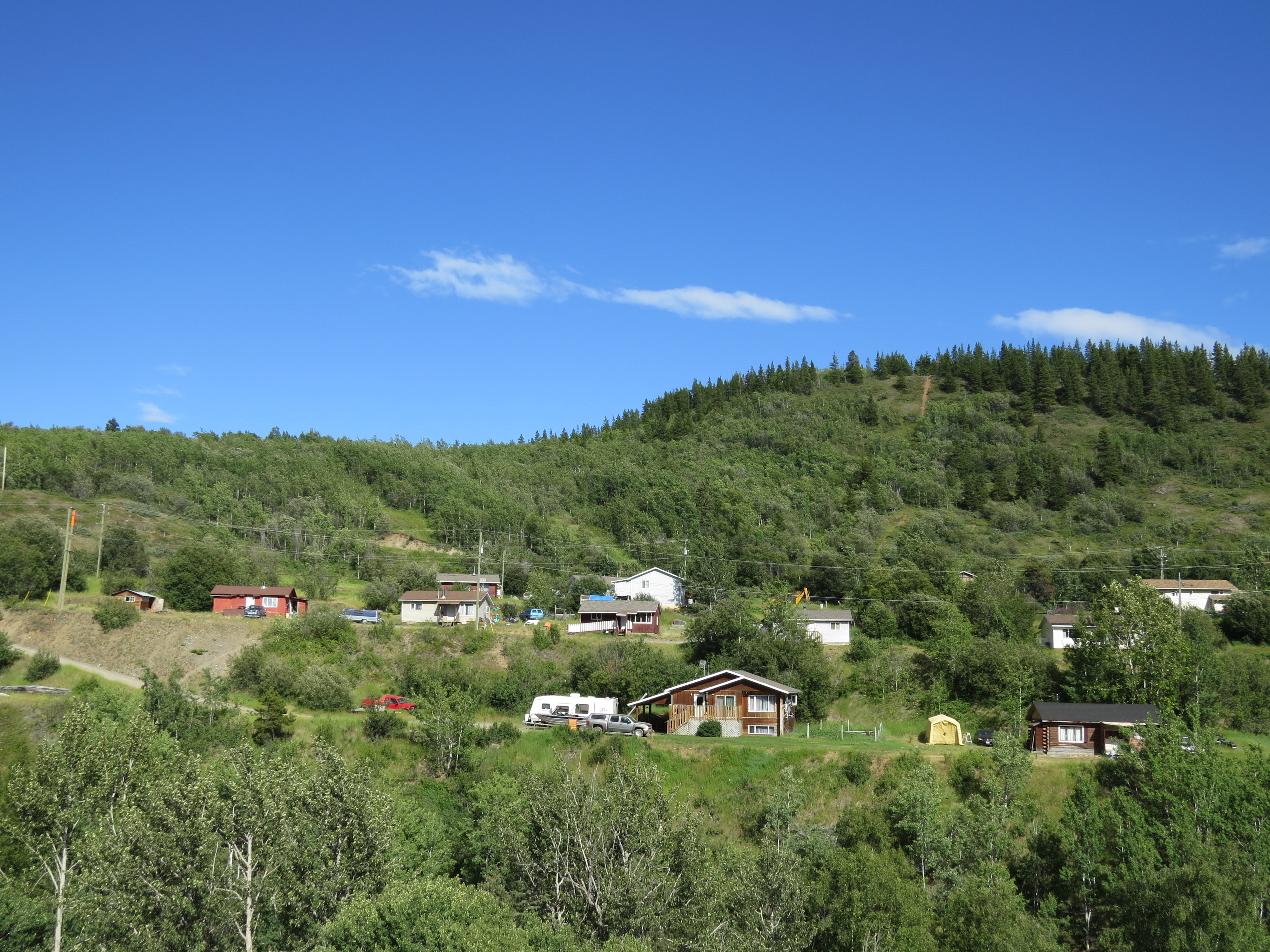
Neighbourhood in Telegraph Creek near the middle of June
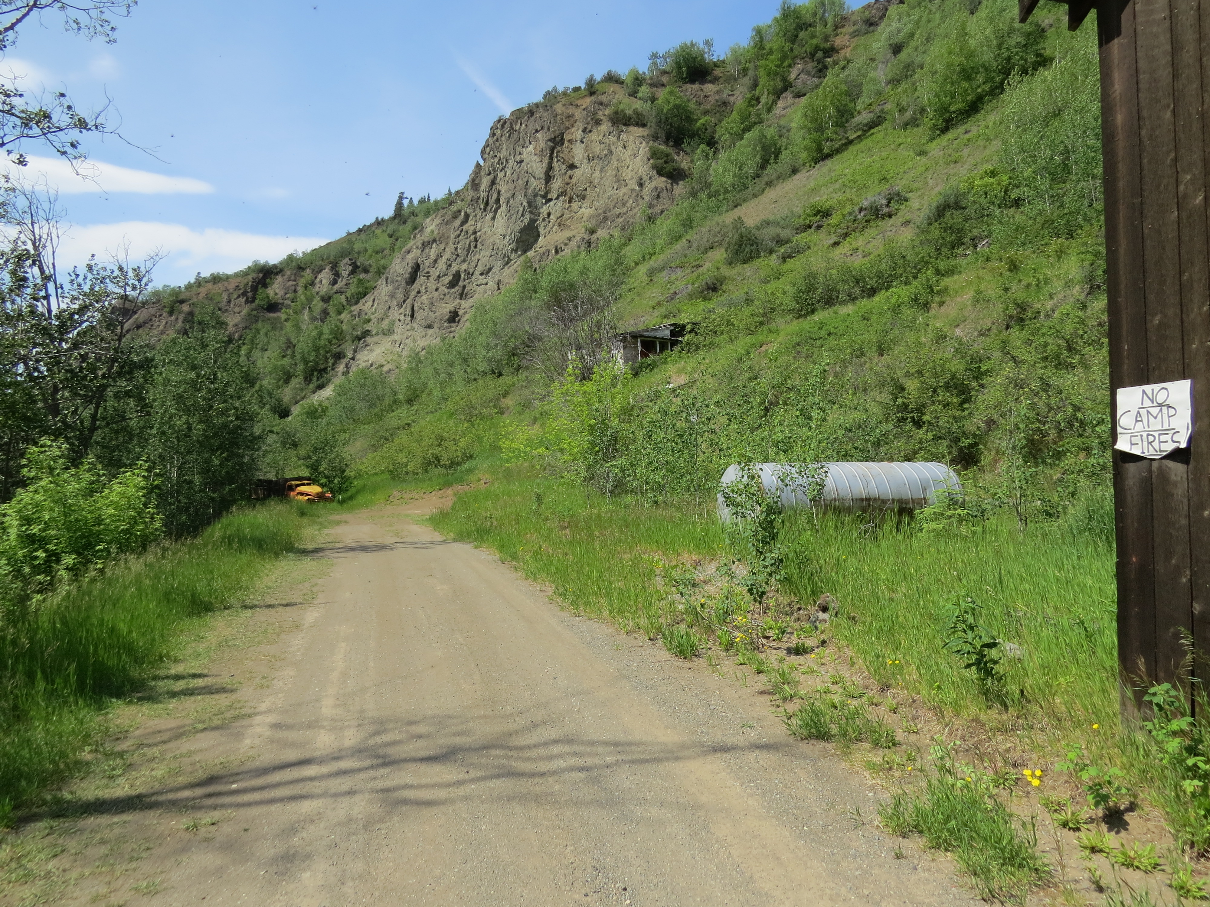
NO CAMPFIRES (here in downtown Telegraph Creek)
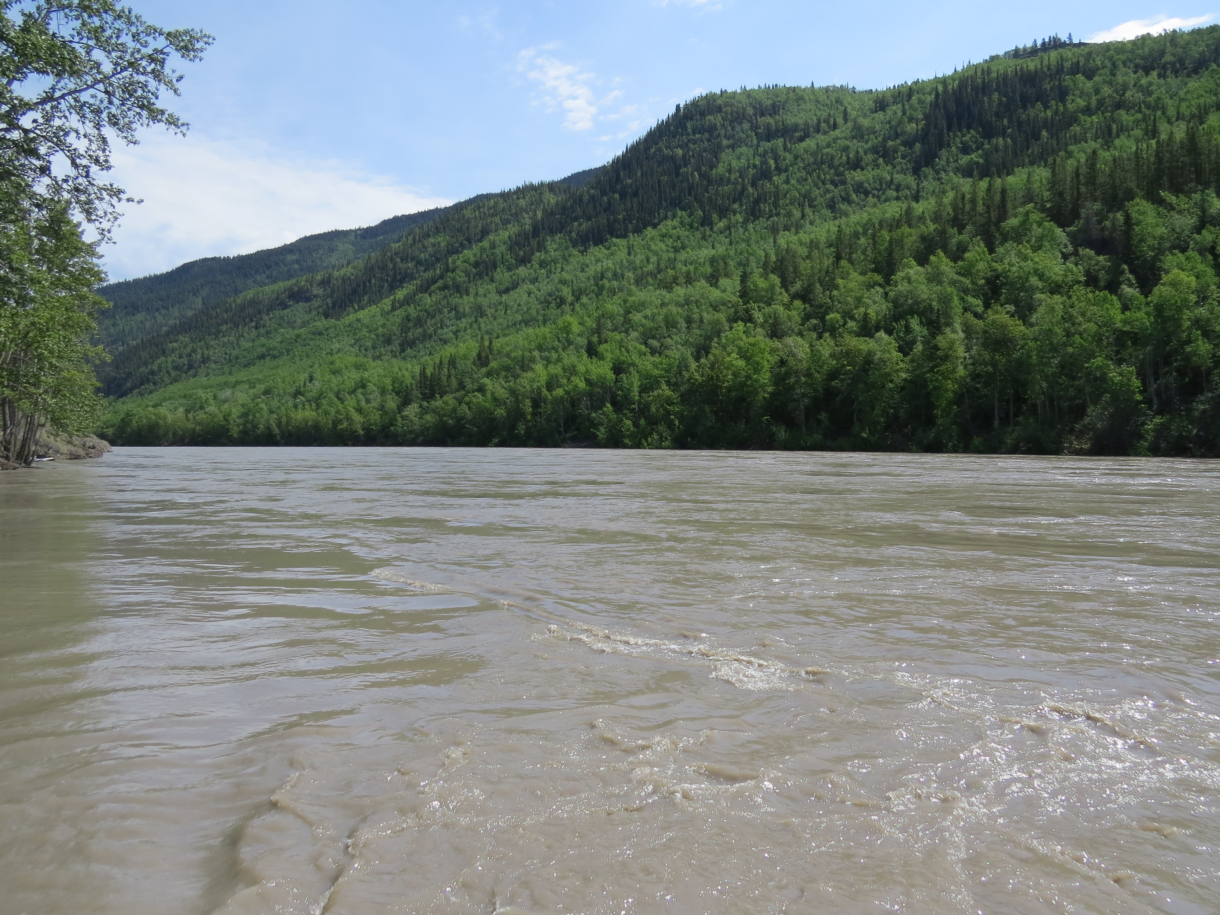
Fast moving and very high Stikine River in Telegraph Creek - part 1

The Jimbobmobile on a nice sunny day in Telegraph Creek, BC
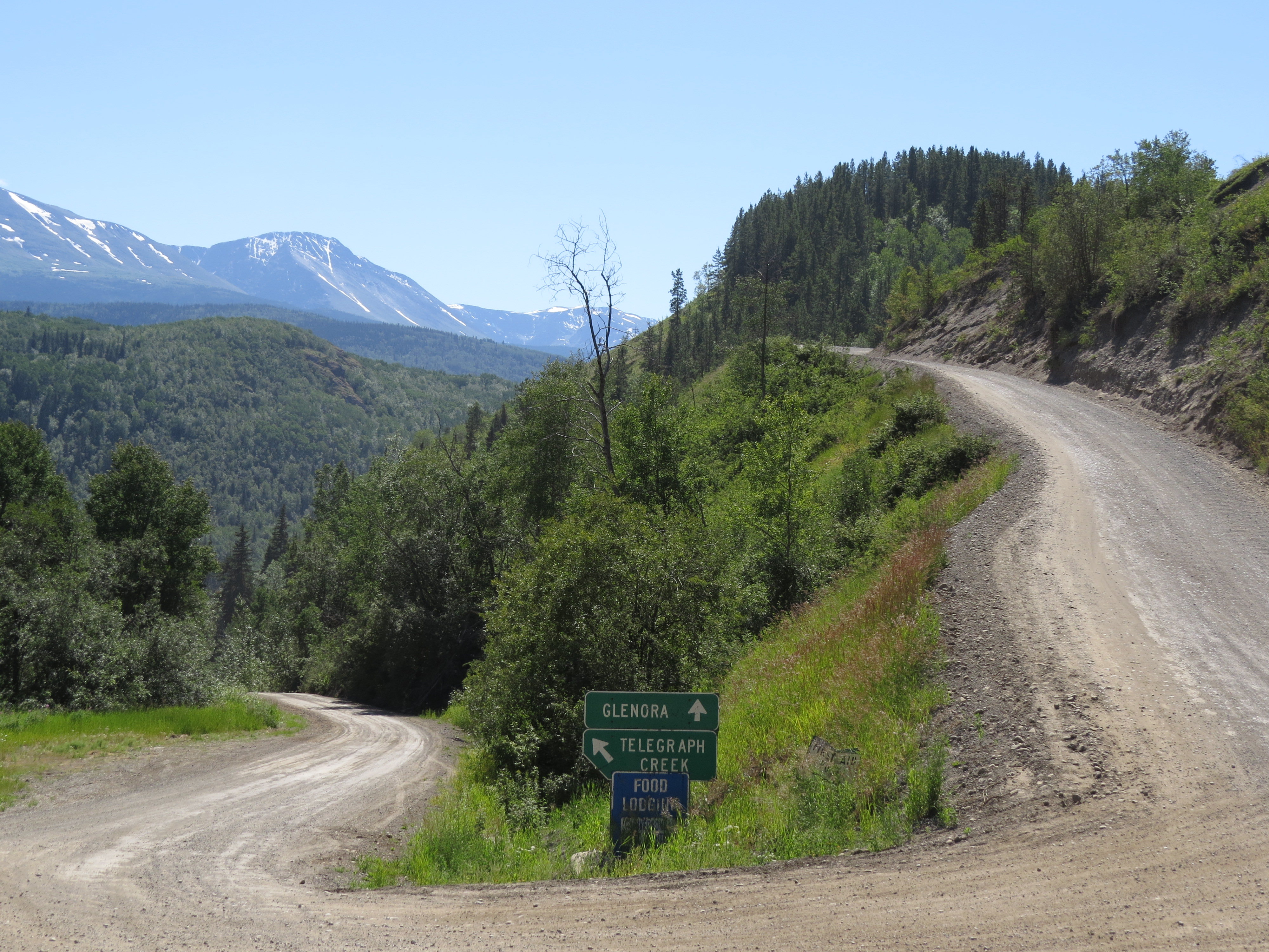
Make a left turn if you want to go to downtown Telegraph Creek, BC
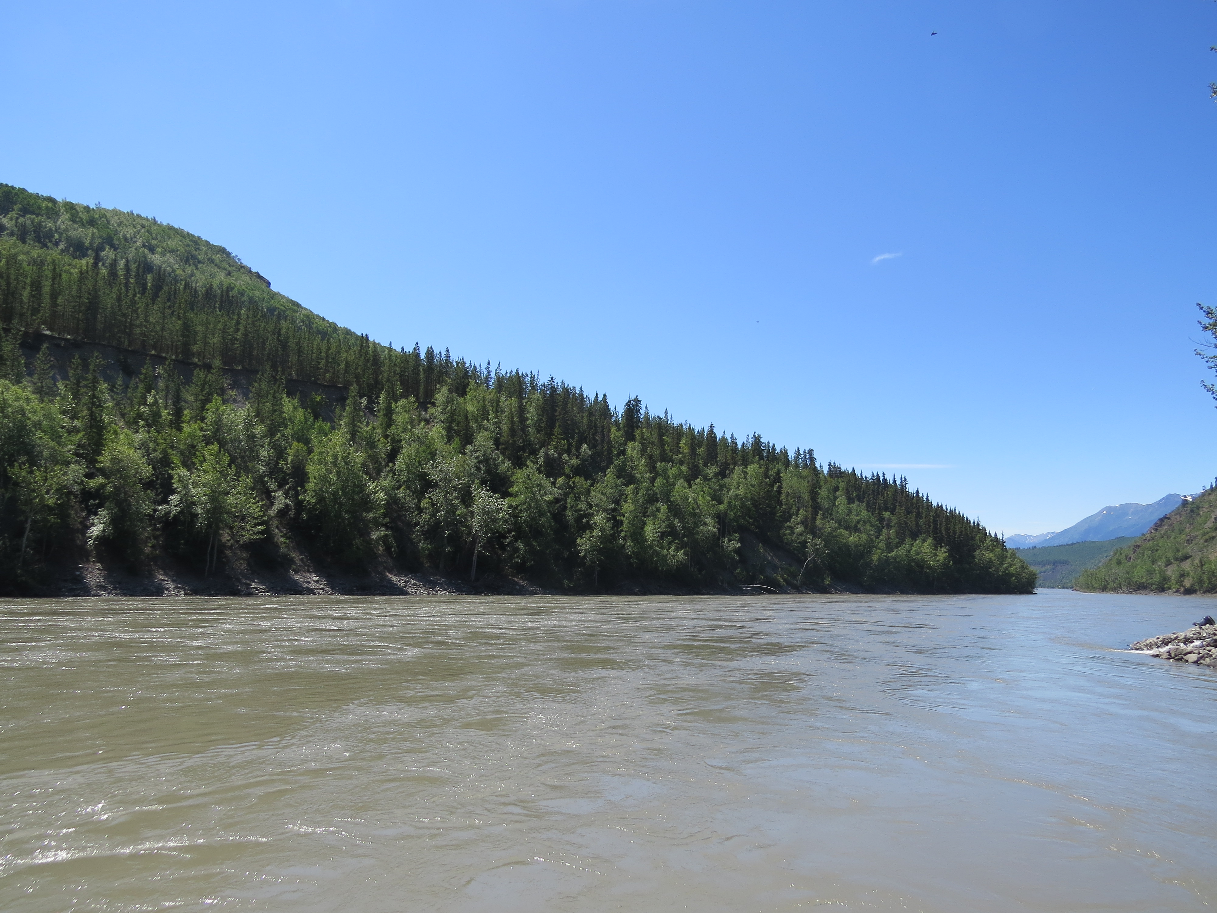
Mighty Stikine River in Telegraph Creek, British Columbia, Canada
Topographic Map of Glenora, BC V0J, Canada
Find elevation by address:

Places near Glenora, BC V0J, Canada:
Recent Searches:
- Elevation of W Granada St, Tampa, FL, USA
- Elevation of Pykes Down, Ivybridge PL21 0BY, UK
- Elevation of Jalan Senandin, Lutong, Miri, Sarawak, Malaysia
- Elevation of Bilohirs'k
- Elevation of 30 Oak Lawn Dr, Barkhamsted, CT, USA
- Elevation of Luther Road, Luther Rd, Auburn, CA, USA
- Elevation of Unnamed Road, Respublika Severnaya Osetiya — Alaniya, Russia
- Elevation of Verkhny Fiagdon, North Ossetia–Alania Republic, Russia
- Elevation of F. Viola Hiway, San Rafael, Bulacan, Philippines
- Elevation of Herbage Dr, Gulfport, MS, USA