Elevation of Glenlyon Dam, Glenlyon QLD, Australia
Location: Australia > Queensland > Southern Downs Regional > Glenlyon >
Longitude: 151.466666
Latitude: -28.983333
Elevation: 373m / 1224feet
Barometric Pressure: 97KPa
Elevation Map:
Satellite Map:
Related Photos:
Day 4

Day 4

The valley of the Severn.

Split Rock Falls

Double Falls

Ooline Gorge

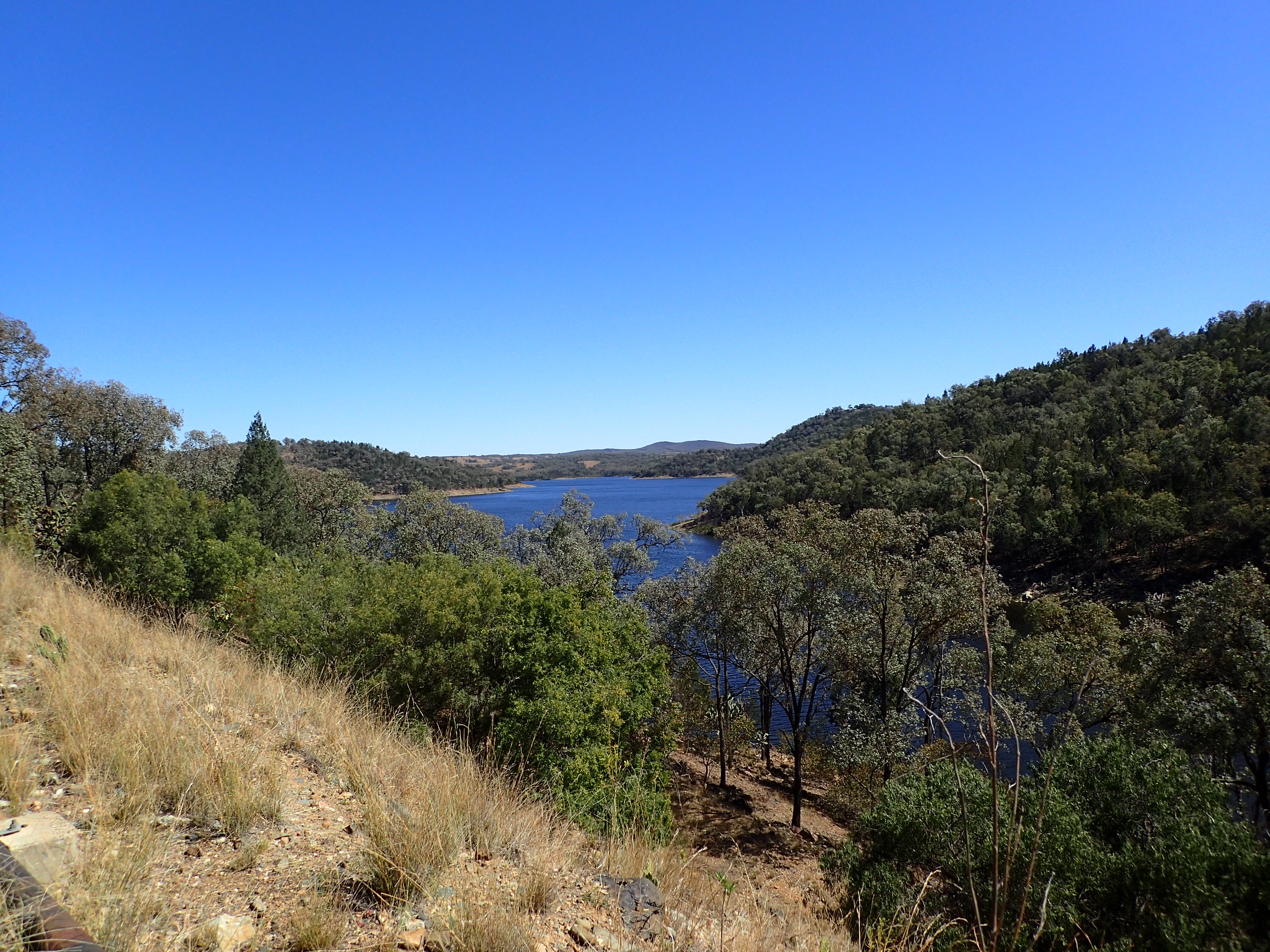
Glenlyon Dam
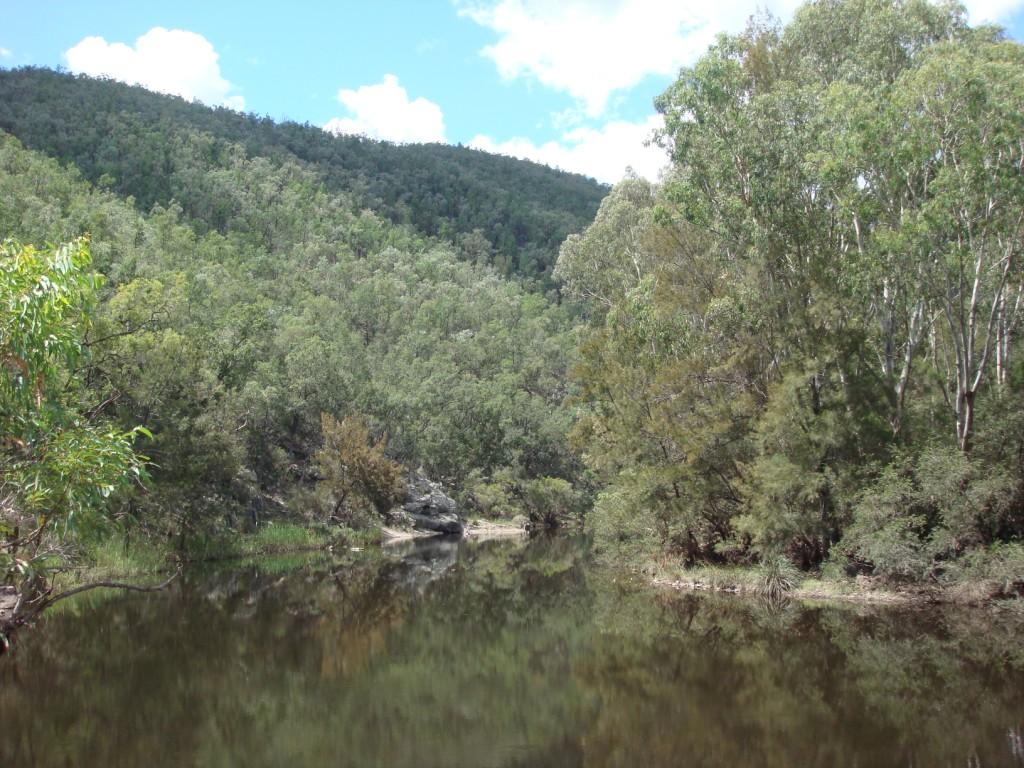
Permanent Waterhole

Rural Scene

Sundown NP from West
Topographic Map of Glenlyon Dam, Glenlyon QLD, Australia
Find elevation by address:

Places near Glenlyon Dam, Glenlyon QLD, Australia:
Glenlyon
6281 Texas Road
Emmaville
1064 Gulf Rd
Ballandean
160 Watters Rd
Fletcher
364 Mount Stirling Rd
1512 Texas Rd
Emmaville Mining Museum
16 Inverell Rd
Amiens
216 Butler Rd
675 Cannon Creek Rd
Bapaume
1275 Nant Park Rd
46 Tenterfield St
Deepwater
Warialda
Recent Searches:
- Elevation of Eldorado do Sul - RS, Brazil
- Elevation of Eldorado do Sul - Parque Eldorado, Eldorado do Sul - RS, -, Brazil
- Elevation of 35 Governors Ln, Hilton Head Island, SC, USA
- Elevation of Orangevale, CA, USA
- Elevation of Doe Cir, Clinton, OH, USA
- Elevation of Narhe, Pune, Maharashtra, India
- Elevation of Martins Mill Ct, Eagle Rock, NC, USA
- Elevation of Kippen, Stirling FK8, UK
- Elevation of Sieveringer Straße, Sieveringer Str., Wien, Austria
- Elevation of Bratskaya Ulitsa, 24, Kurgan, Kurganskaya oblast', Russia