Elevation map of Glenelg Shire, Glenelg, VIC, Australia
Location: Australia > Victoria >
Longitude: 141.515007
Latitude: -37.907829
Elevation: 173m / 568feet
Barometric Pressure: 99KPa
Elevation Map:
Satellite Map:
Related Photos:
crawford river
suspense 2
pillar of stars

mother and child

Relic of the past

257 & G Cargeeg, Greenwald

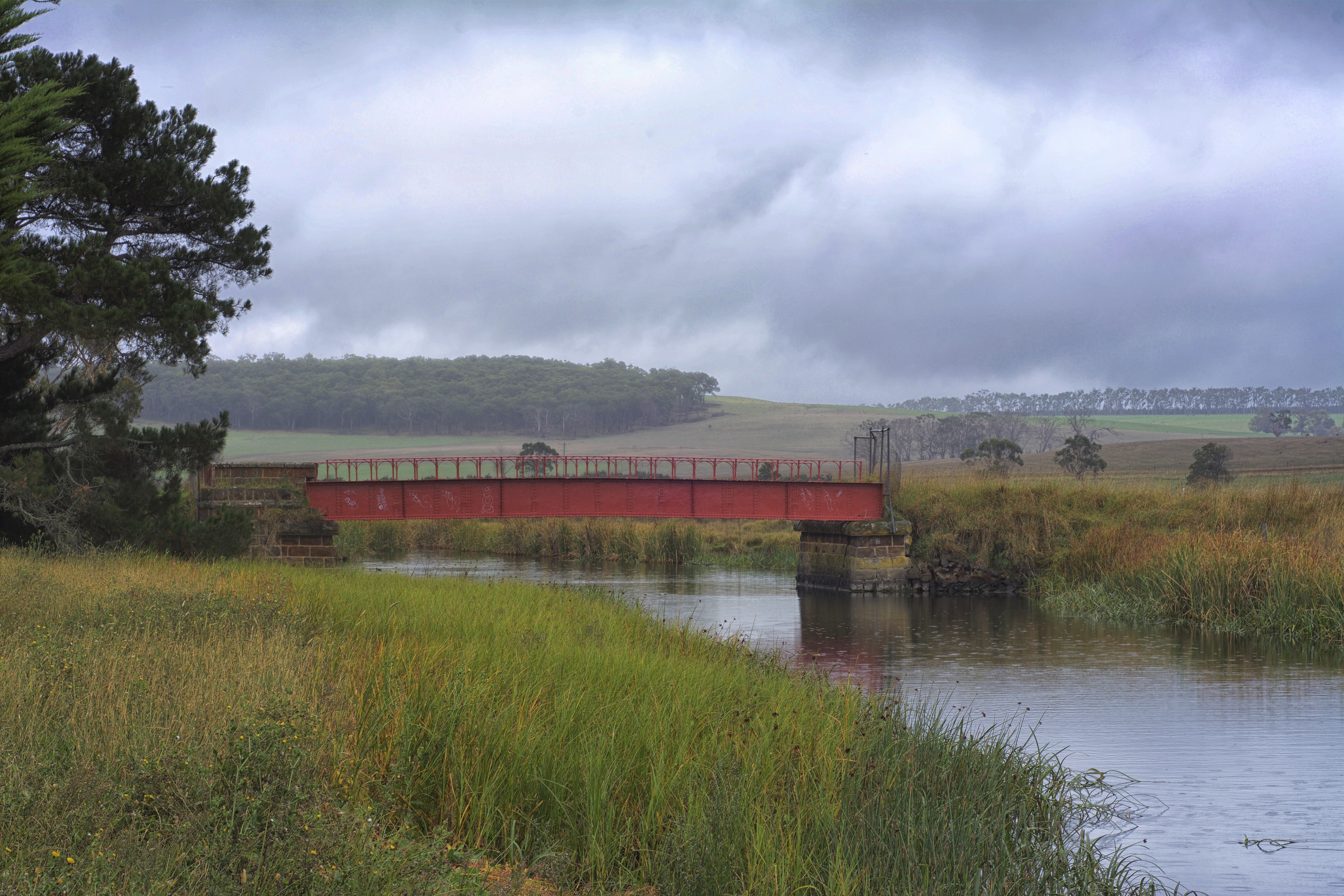
Hotspur Bridge

P1020276.JPG

P1020275.JPG

P1020274.JPG

P1020273.JPG

P1020272.JPG

P1020271.JPG

P1020270.JPG

P1020269.JPG

P1020268.JPG
Topographic Map of Glenelg Shire, Glenelg, VIC, Australia
Find elevation by address:

Places in Glenelg Shire, Glenelg, VIC, Australia:
Places near Glenelg Shire, Glenelg, VIC, Australia:
8 Annesley St
Merino
Dartmoor
54 Russell St
69 Jackson St
7 Miller St
48 Jackson St
Casterton
Coleraine
Wando Vale
Warrock
8 Warrock Rd
5 Lonsdale St
Hamilton
Southern Grampians Shire
District Council Of Grant
Penola
30 Laidlaw Ave
Edenhope
Natimuk
Recent Searches:
- Elevation of Fern Rd, Whitmore, CA, USA
- Elevation of 62 Abbey St, Marshfield, MA, USA
- Elevation of Fernwood, Bradenton, FL, USA
- Elevation of Felindre, Swansea SA5 7LU, UK
- Elevation of Leyte Industrial Development Estate, Isabel, Leyte, Philippines
- Elevation of W Granada St, Tampa, FL, USA
- Elevation of Pykes Down, Ivybridge PL21 0BY, UK
- Elevation of Jalan Senandin, Lutong, Miri, Sarawak, Malaysia
- Elevation of Bilohirs'k
- Elevation of 30 Oak Lawn Dr, Barkhamsted, CT, USA