Elevation of Glendive, MT, USA
Location: United States > Montana > Dawson County > Glendive >
Longitude: -104.75236
Latitude: 47.2037626
Elevation: 733m / 2405feet
Barometric Pressure: 93KPa
Elevation Map:
Satellite Map:
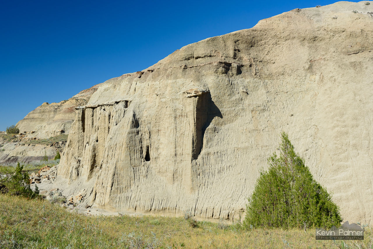
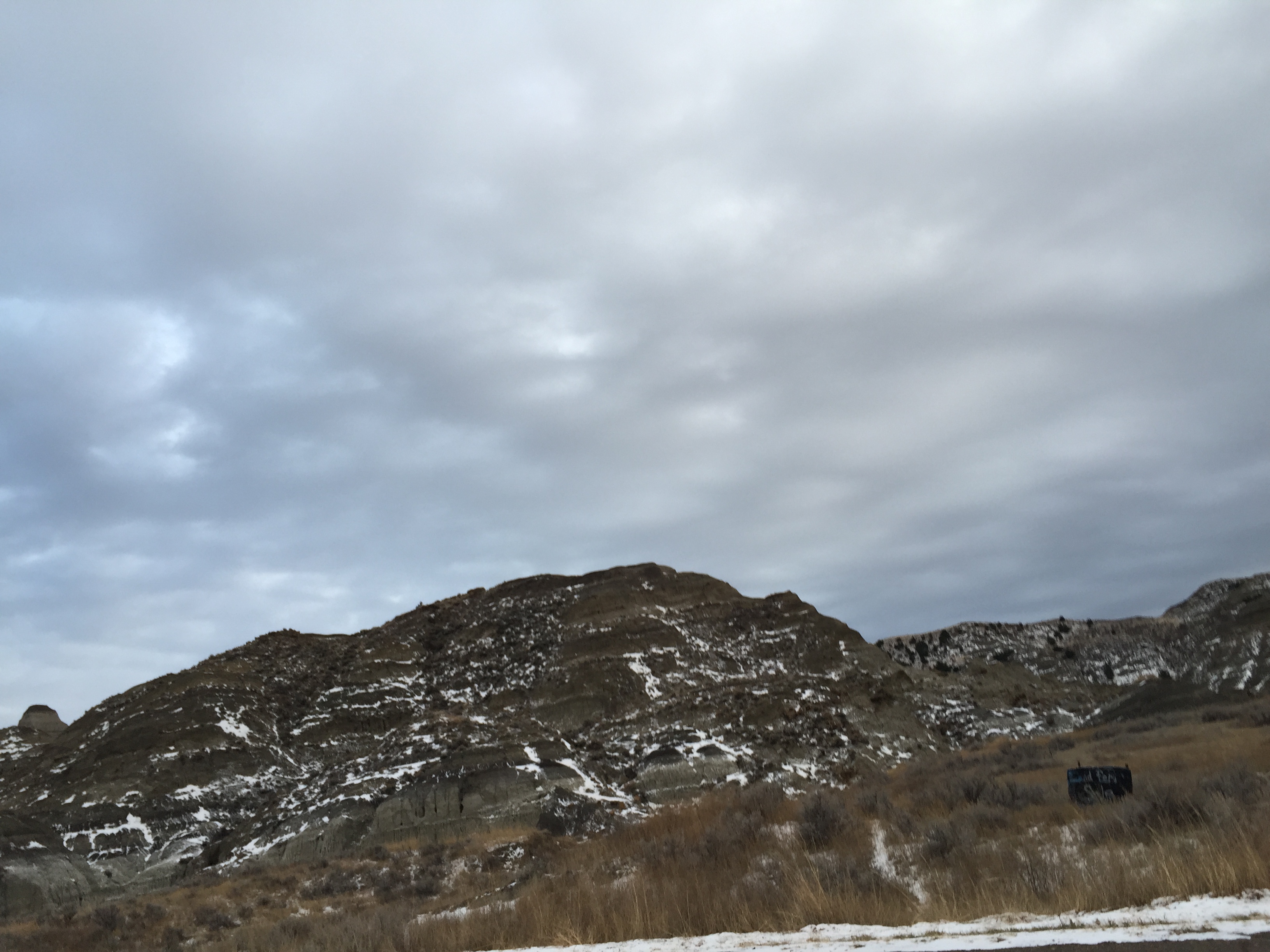
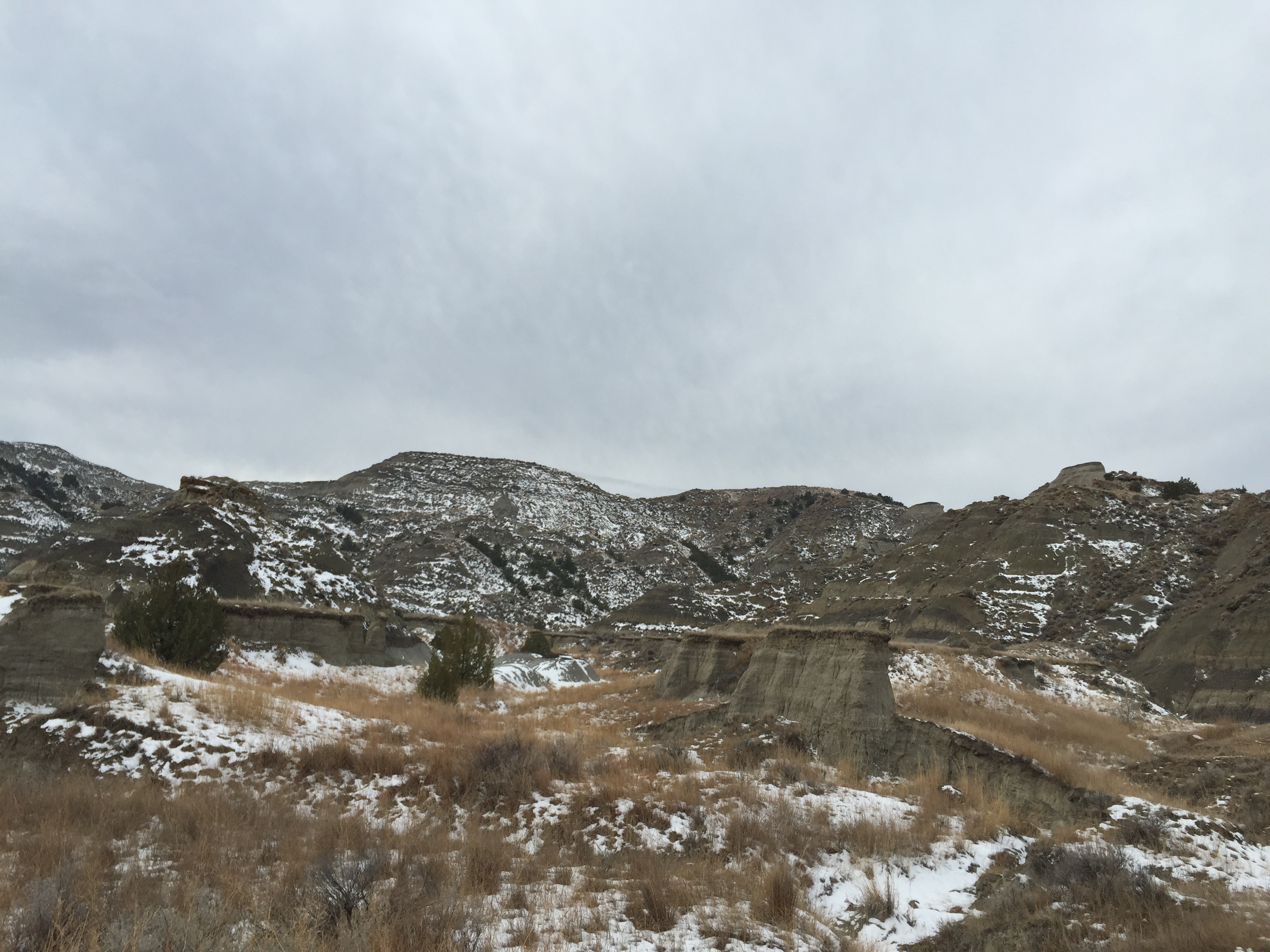
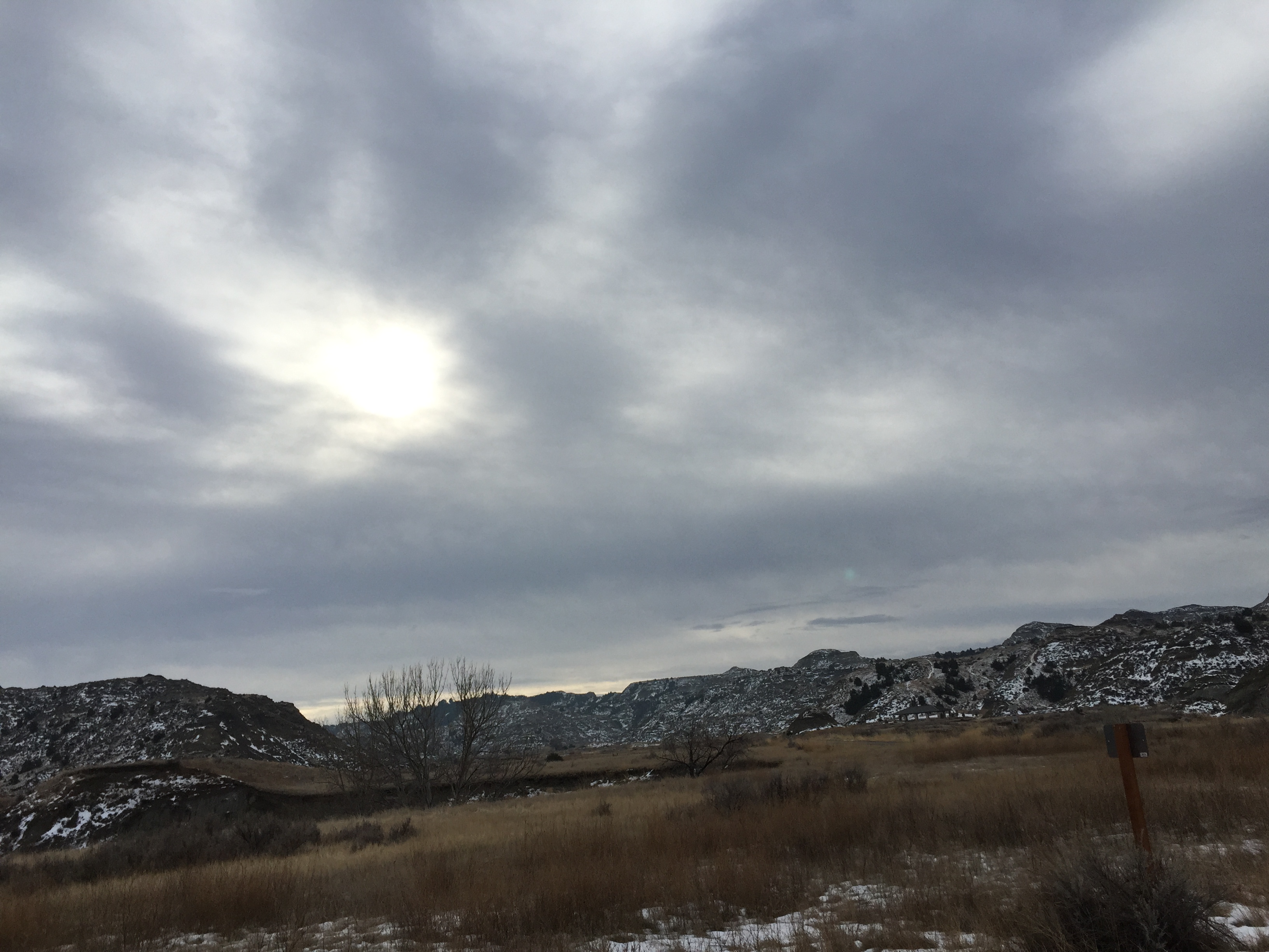
Related Photos:
day3-24
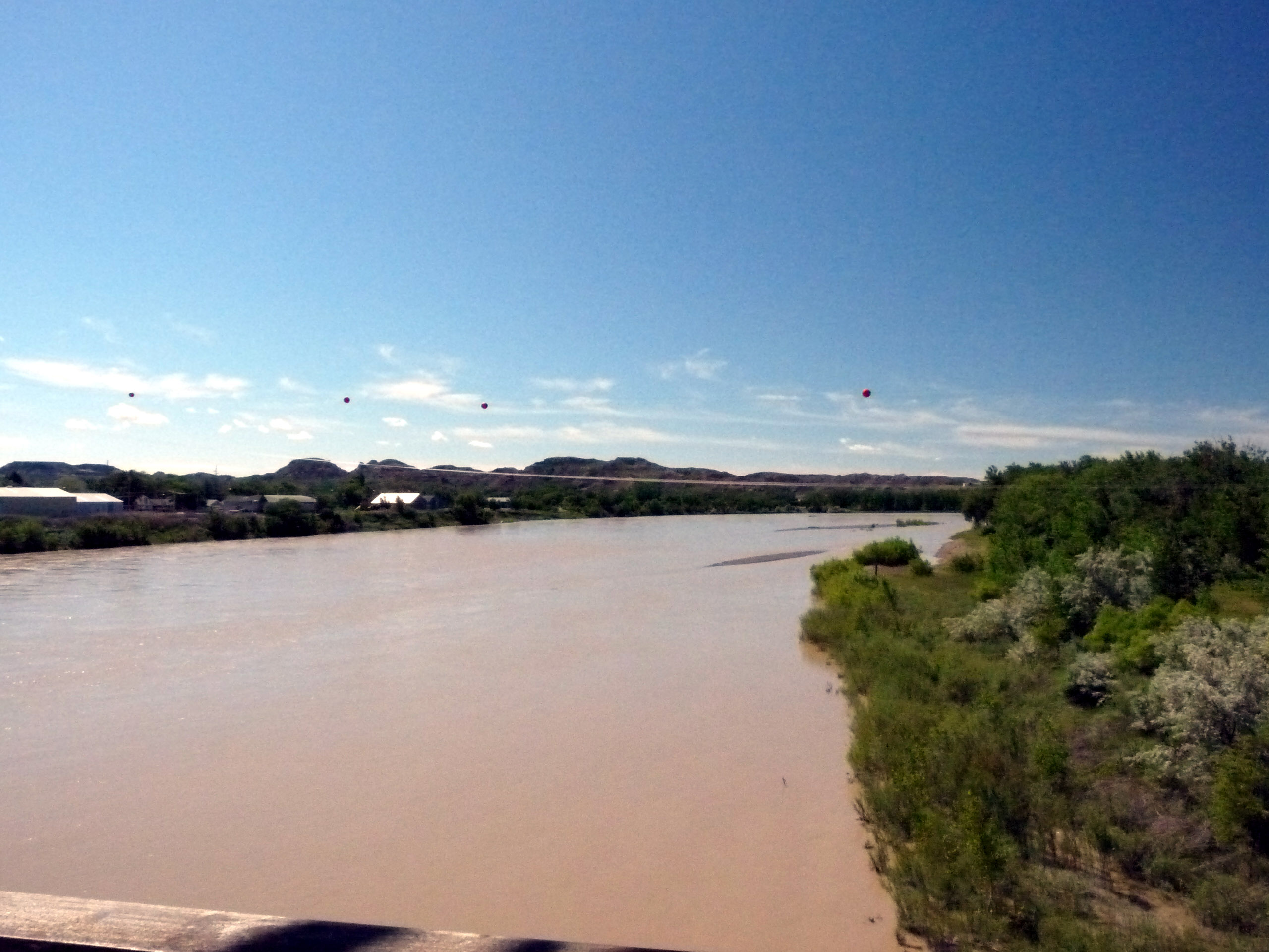
338 Montana, Glendive, Bell Street Bridge, View Of Yellowstone River Downstream
day3-25

Makoshika State Park
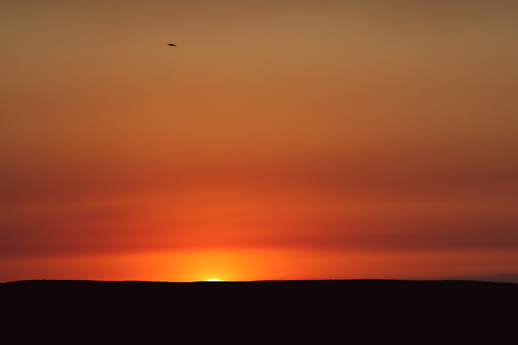
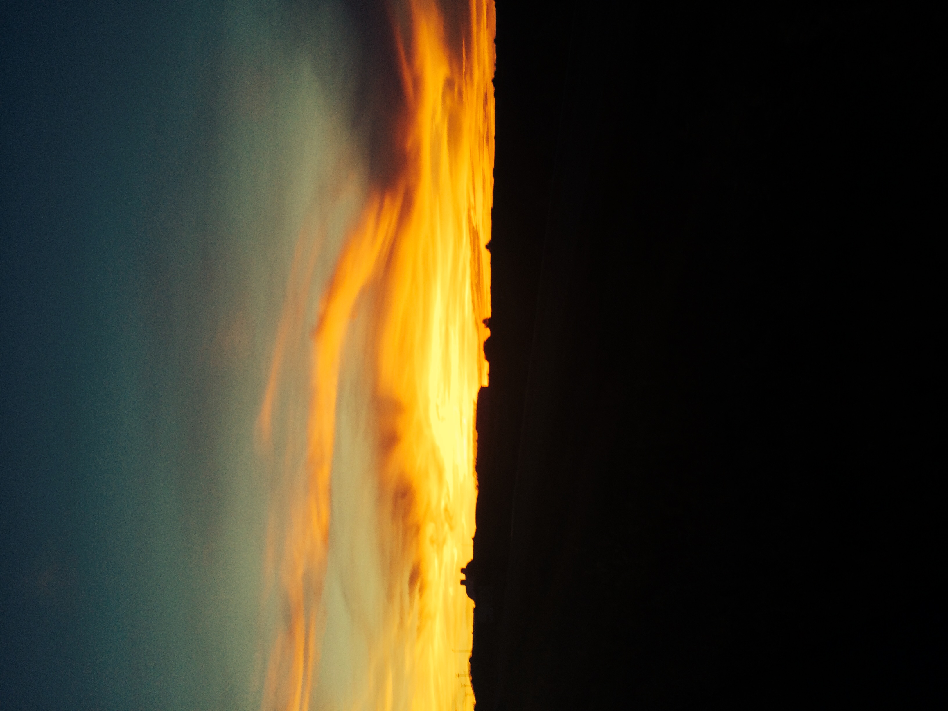
Distant Storm

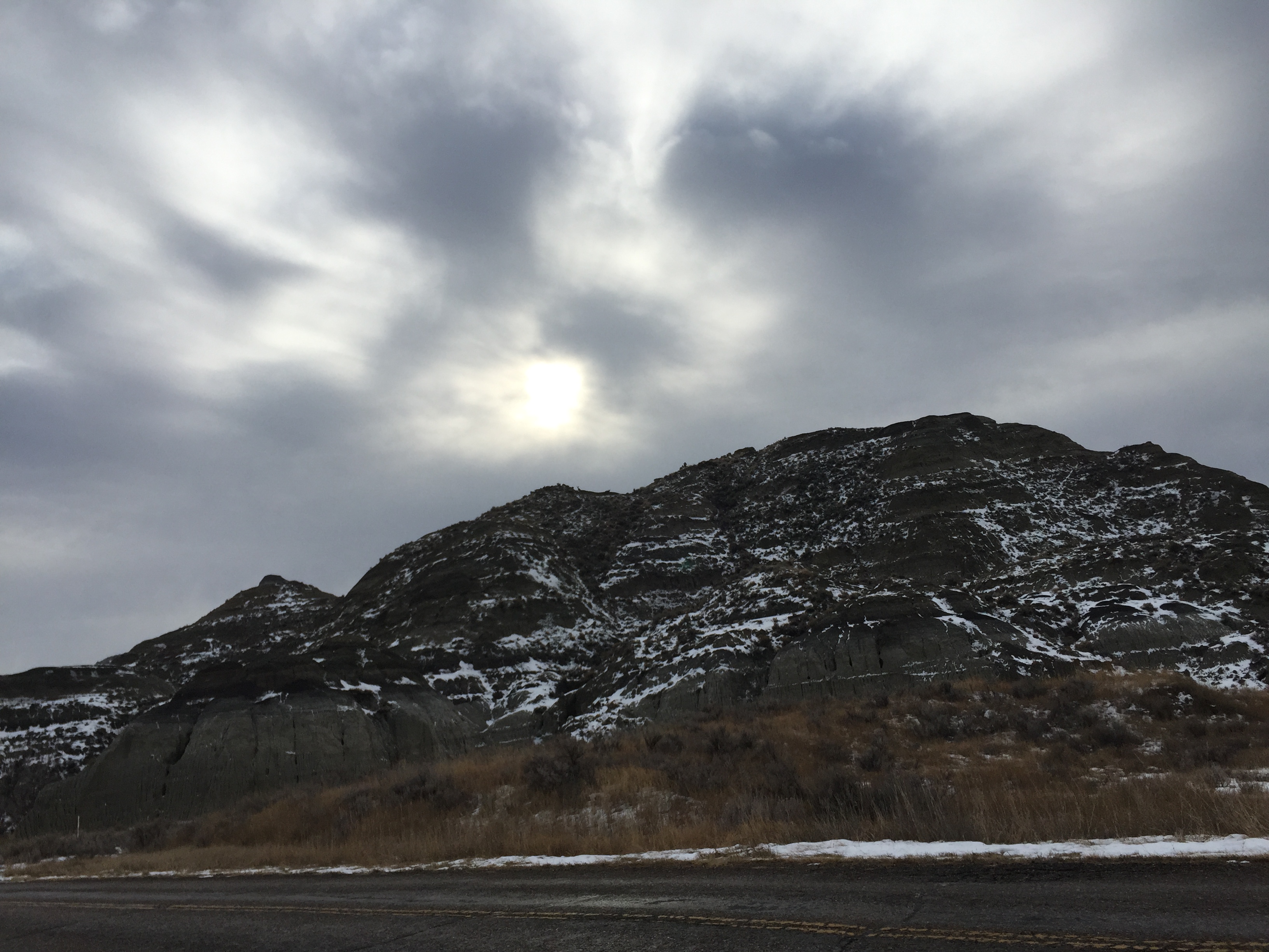
Makoshika State Park
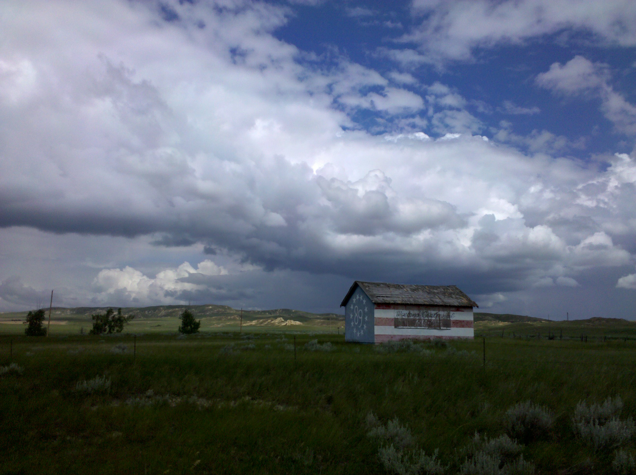
A centennial barn

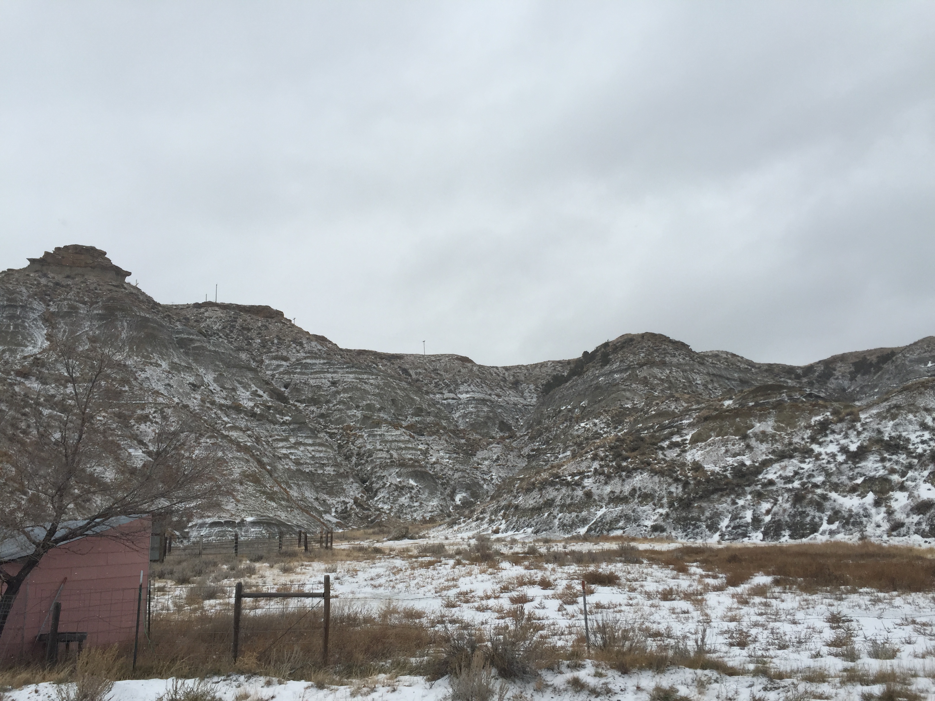
Makoshika Morning
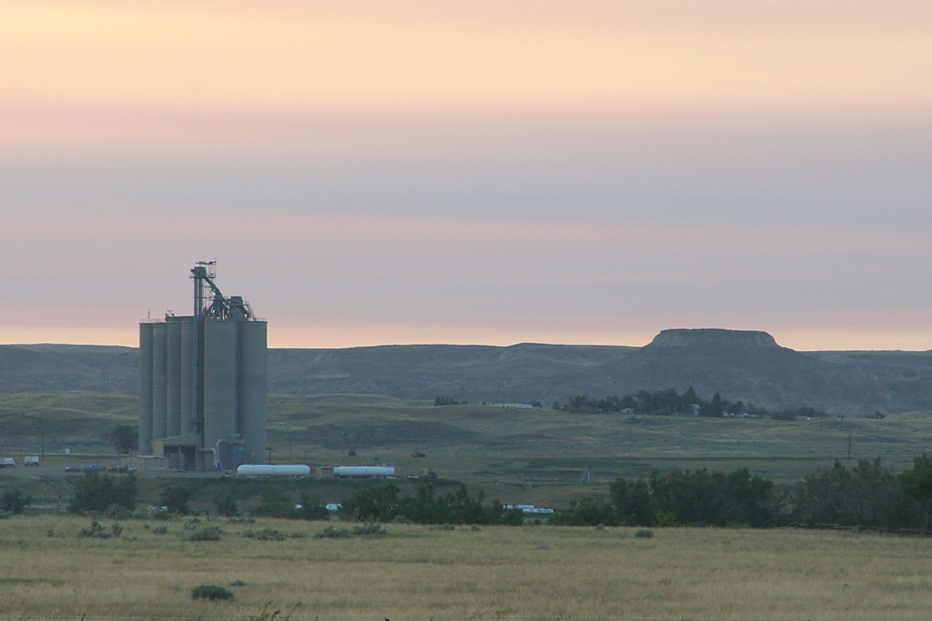
Glendive, MT
Carry on

#Yellowstone #Montana

Glendive, MT

Glendive, MT

20160705_094804-2

Montana vs. Verizon

201405 - 40
Glendive, MT

Glendive, MT

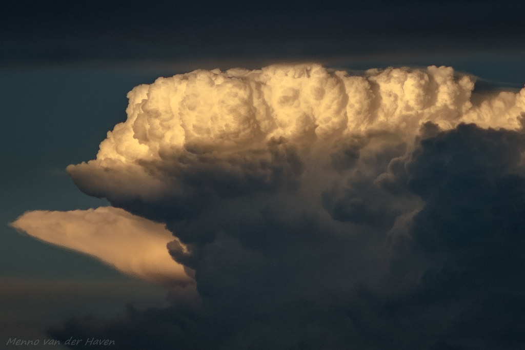
Makoshika State Park Sky
Eroded Wall
Glendive, MT
Glendive, MT
Glendive, MT
Topographic Map of Glendive, MT, USA
Find elevation by address:

Places near Glendive, MT, USA:
406 Poplar Ave
Glendive
Dawson County
Rd, Bloomfield, MT, USA
Bloomfield
Savage
3rd Ave N, Savage, MT, USA
Lambert
Wibaux County
Wibaux
Cabin Creek
Terry
Riverview
Prairie County
1012 4th Ave Se
Sidney High School
Sidney
Carlyle
MT-, Fairview, MT, USA
Recent Searches:
- Elevation of Elwyn Dr, Roanoke Rapids, NC, USA
- Elevation of Congressional Dr, Stevensville, MD, USA
- Elevation of Bellview Rd, McLean, VA, USA
- Elevation of Stage Island Rd, Chatham, MA, USA
- Elevation of Shibuya Scramble Crossing, 21 Udagawacho, Shibuya City, Tokyo -, Japan
- Elevation of Jadagoniai, Kaunas District Municipality, Lithuania
- Elevation of Pagonija rock, Kranto 7-oji g. 8"N, Kaunas, Lithuania
- Elevation of Co Rd 87, Jamestown, CO, USA
- Elevation of Tenjo, Cundinamarca, Colombia
- Elevation of Côte-des-Neiges, Montreal, QC H4A 3J6, Canada