Elevation of Glendale, OR, USA
Location: United States > Oregon > Douglas County >
Longitude: -123.42339
Latitude: 42.7362284
Elevation: 438m / 1437feet
Barometric Pressure: 96KPa
Elevation Map:
Satellite Map:
Related Photos:

Darryl (Stranger 5/100)
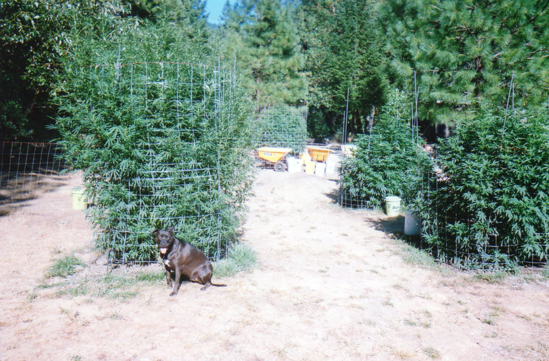
Oregon Medical Marijuana Outdoor Grow
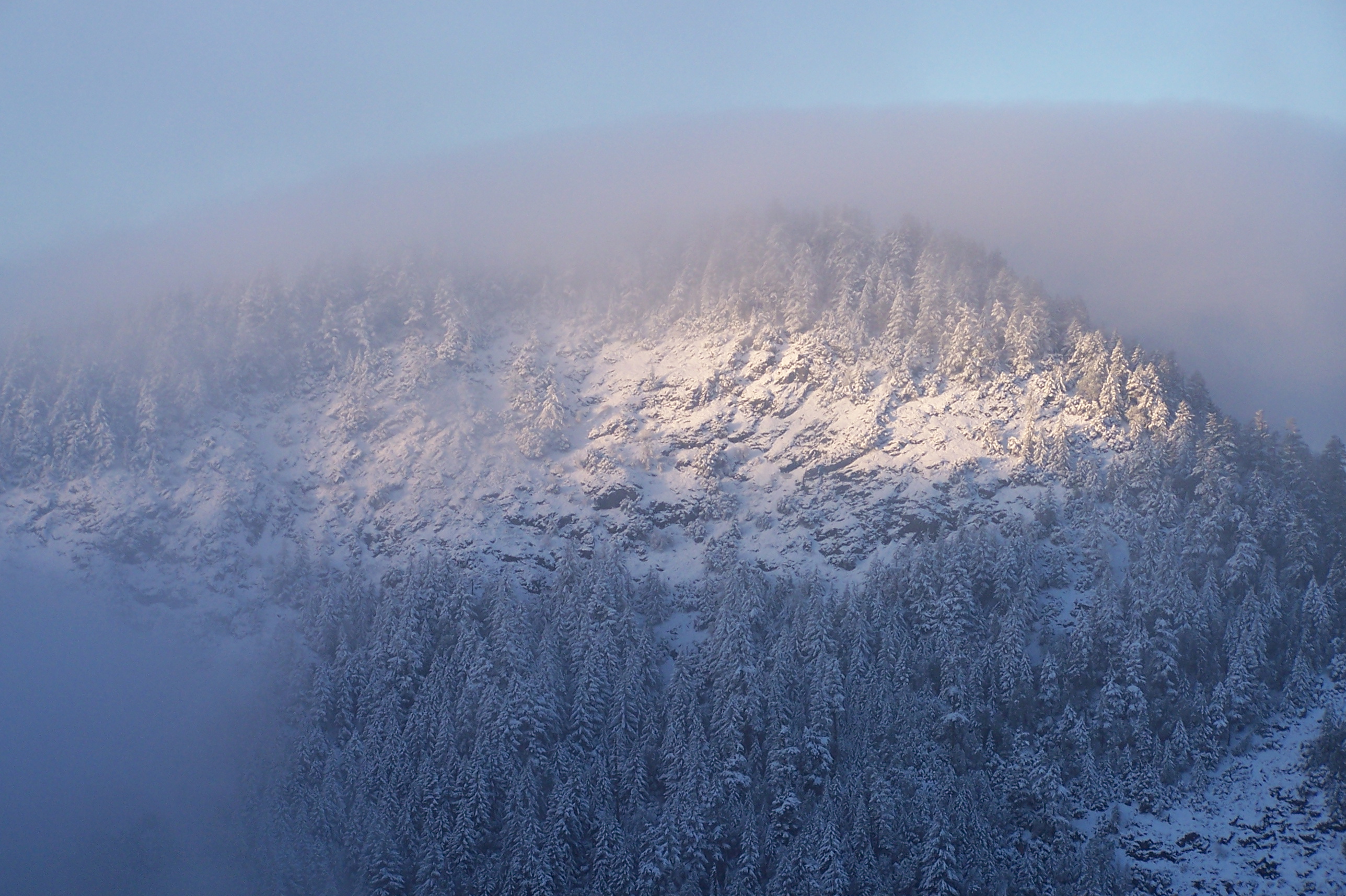
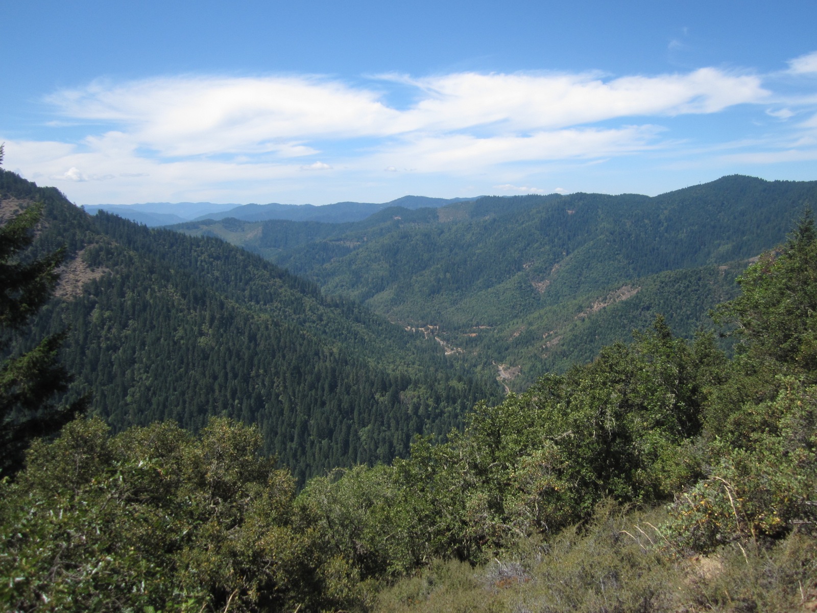
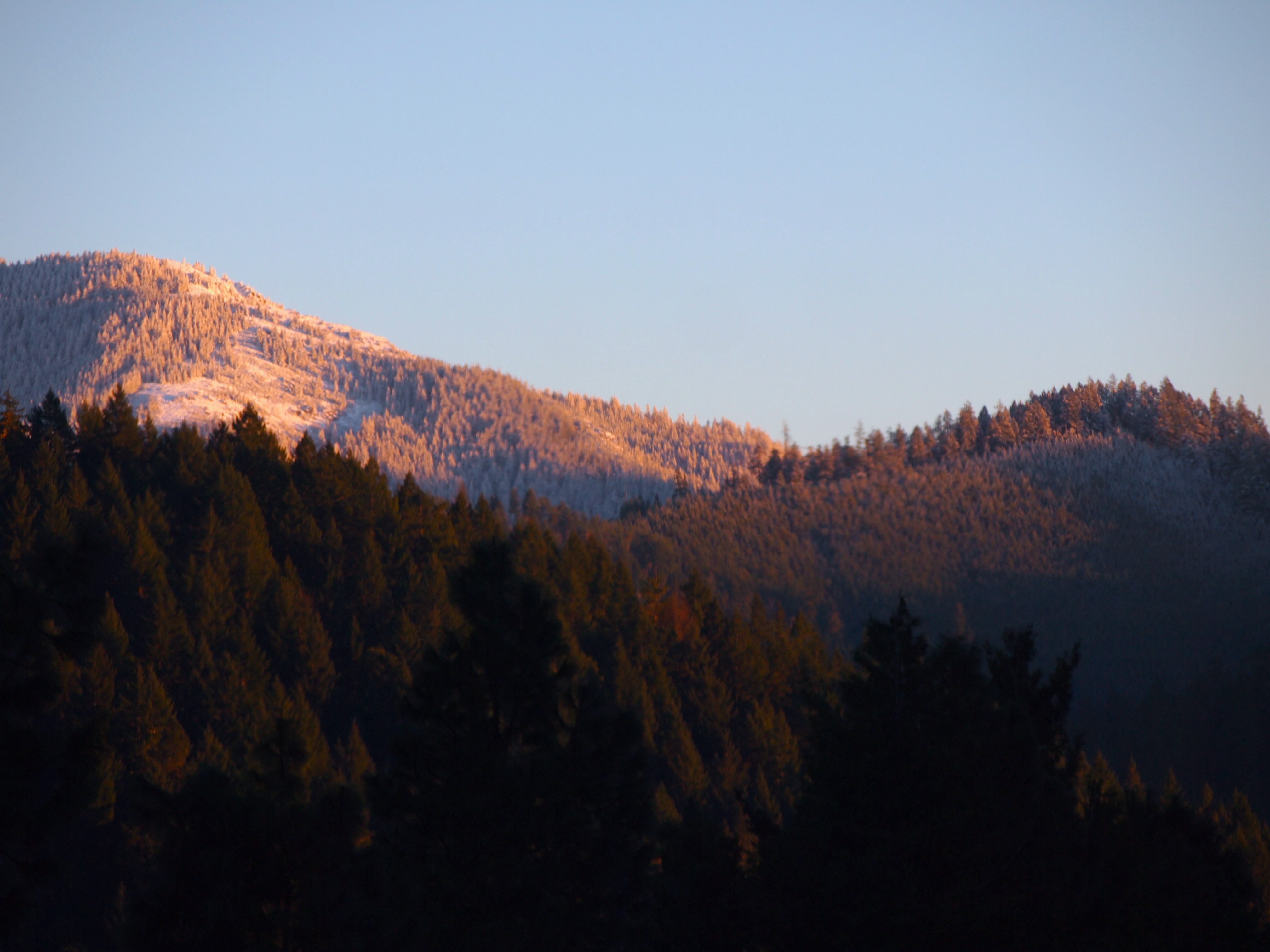
A winters view from Londons Peak

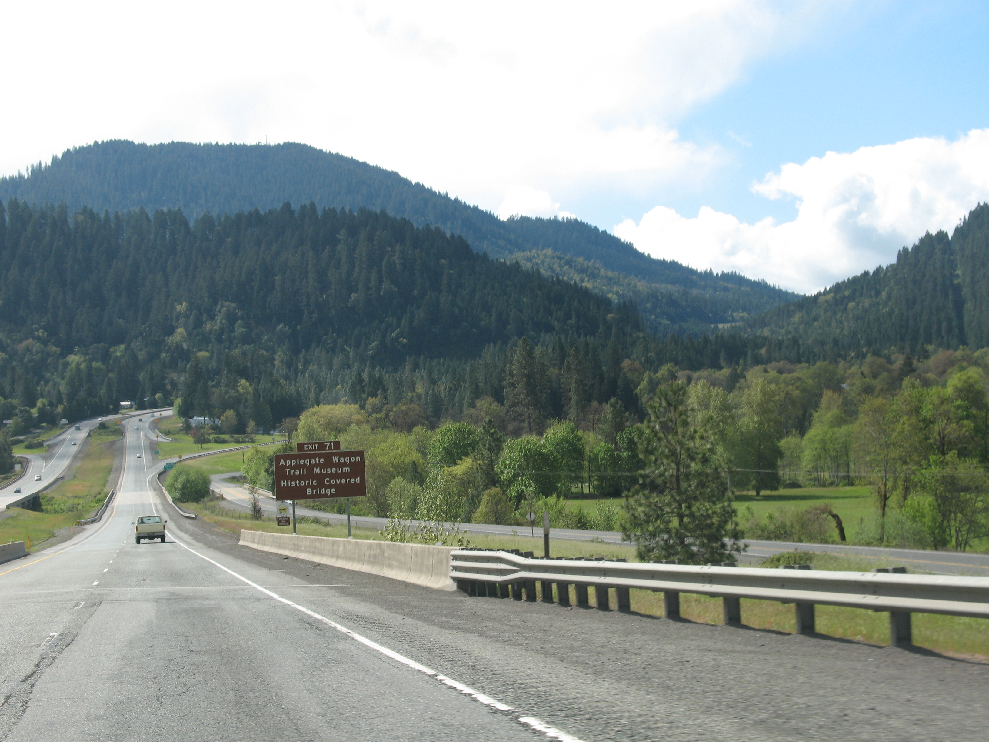
CA Trip Day 12: Covered Bridge, Morning Fog

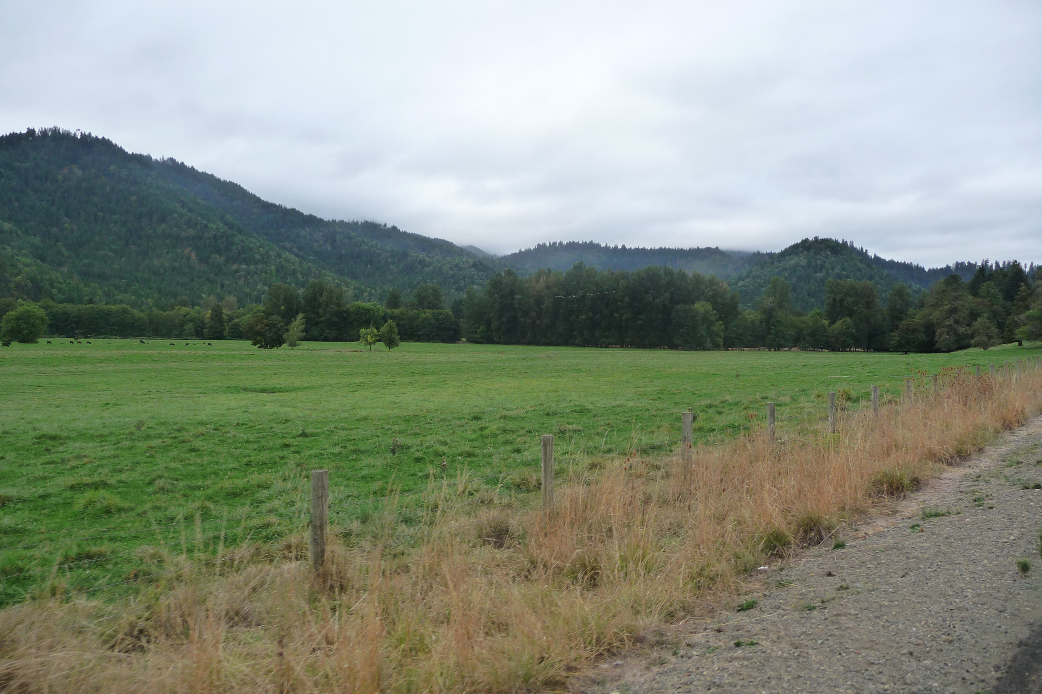
CA Trip Day 12: Farm. Morning
Cycle Oregon 2009
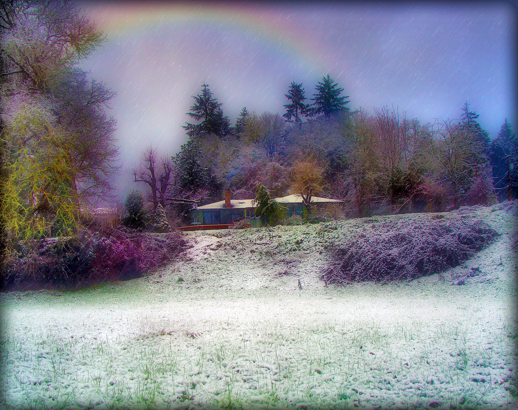
A rainbow of hope!

Lotus Hairstreak (Callophrys dumetorum)
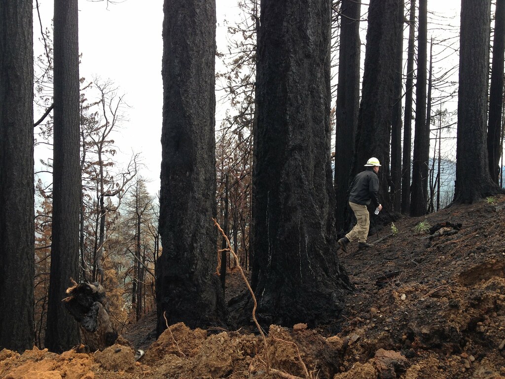
Douglas Complex Fire
Plant in Sunny Valley, OR
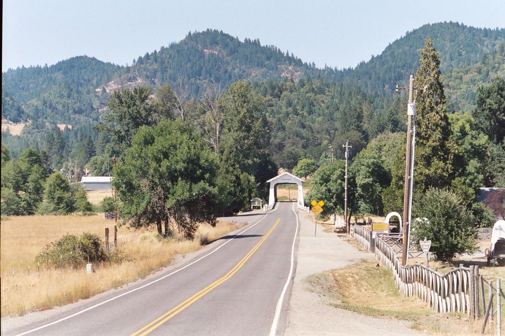
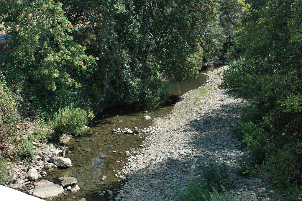
h70 070 (2) Water Under The Bridge (Grave Creek)
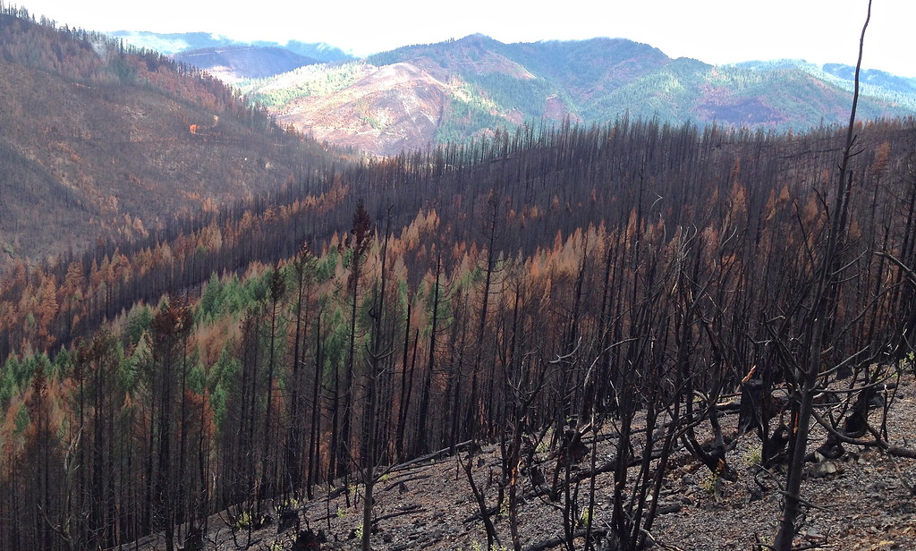
Douglas Complex Fire
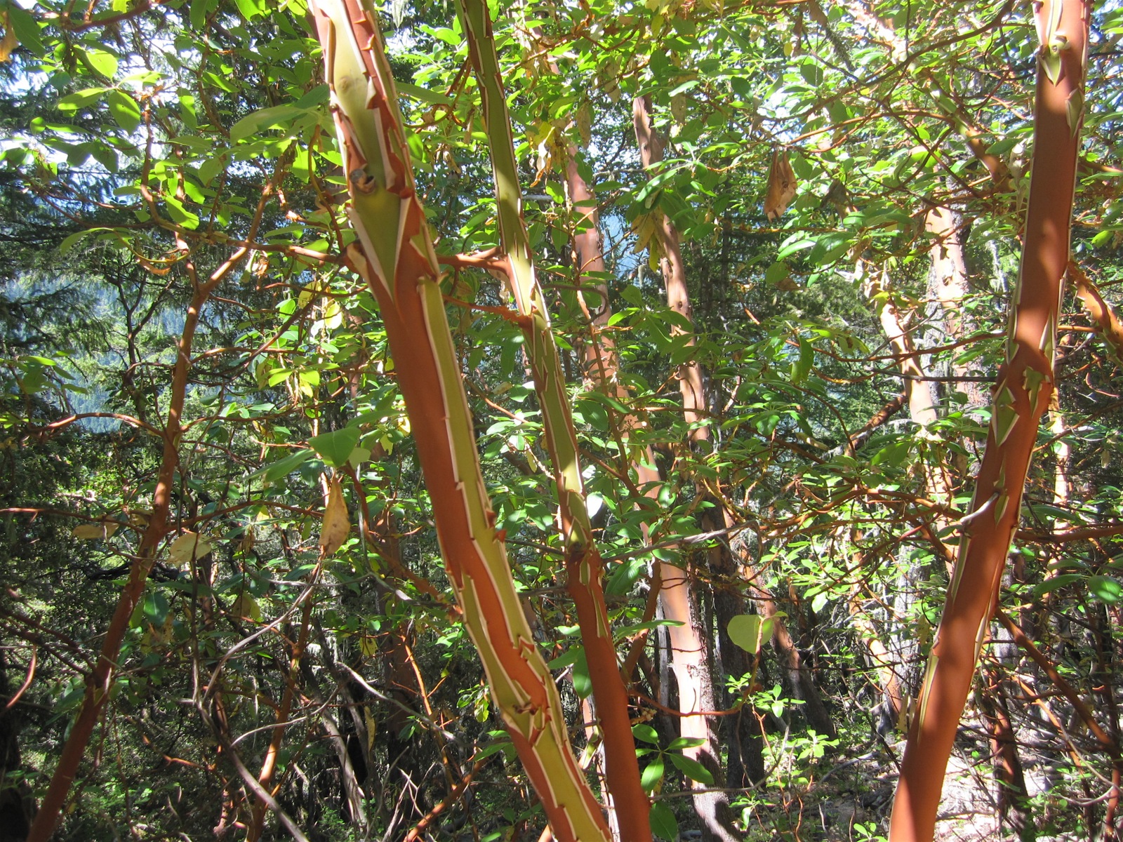
Manzanita trees
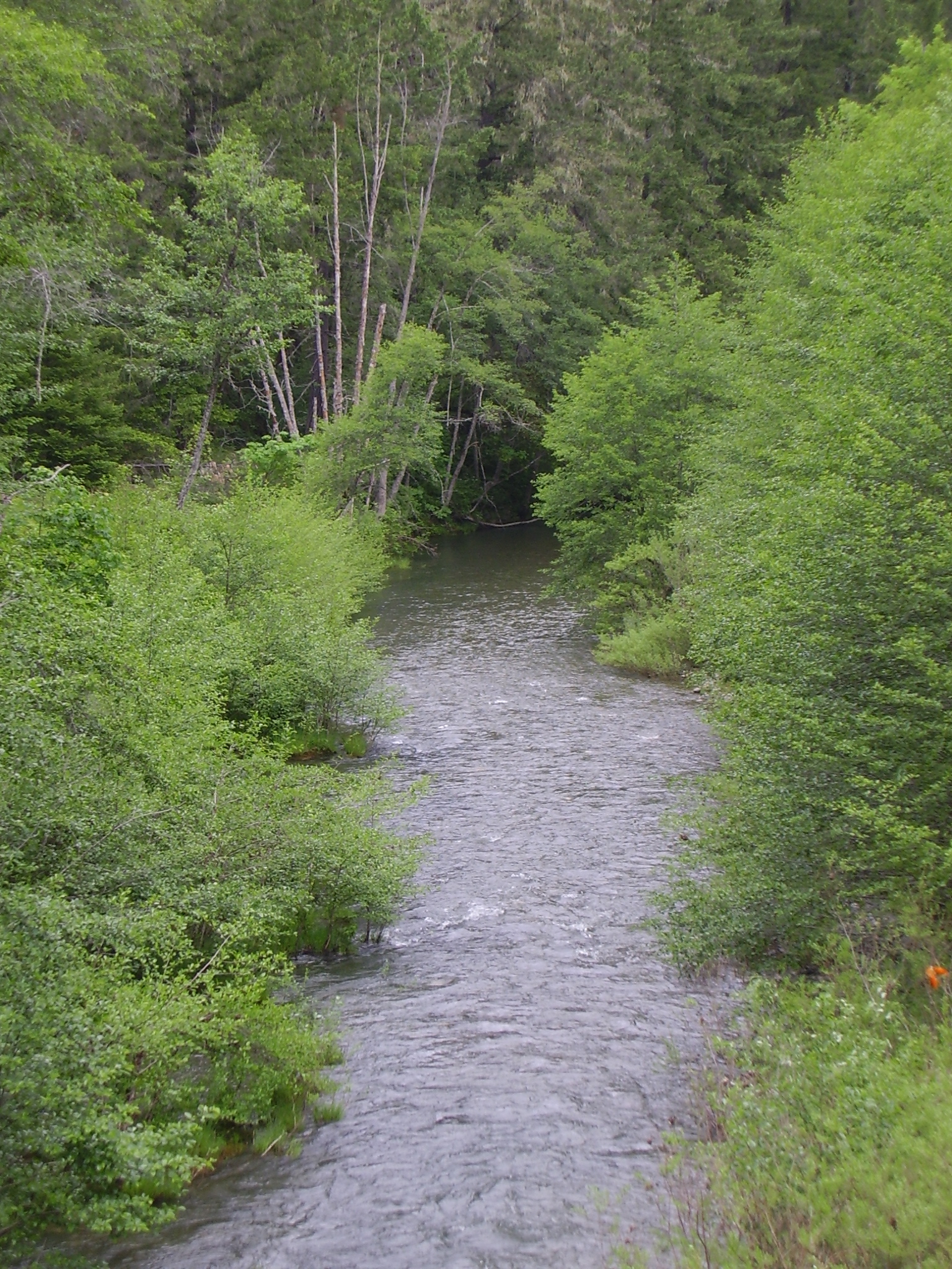
Wolf Creek
Wolf Creek

On the road
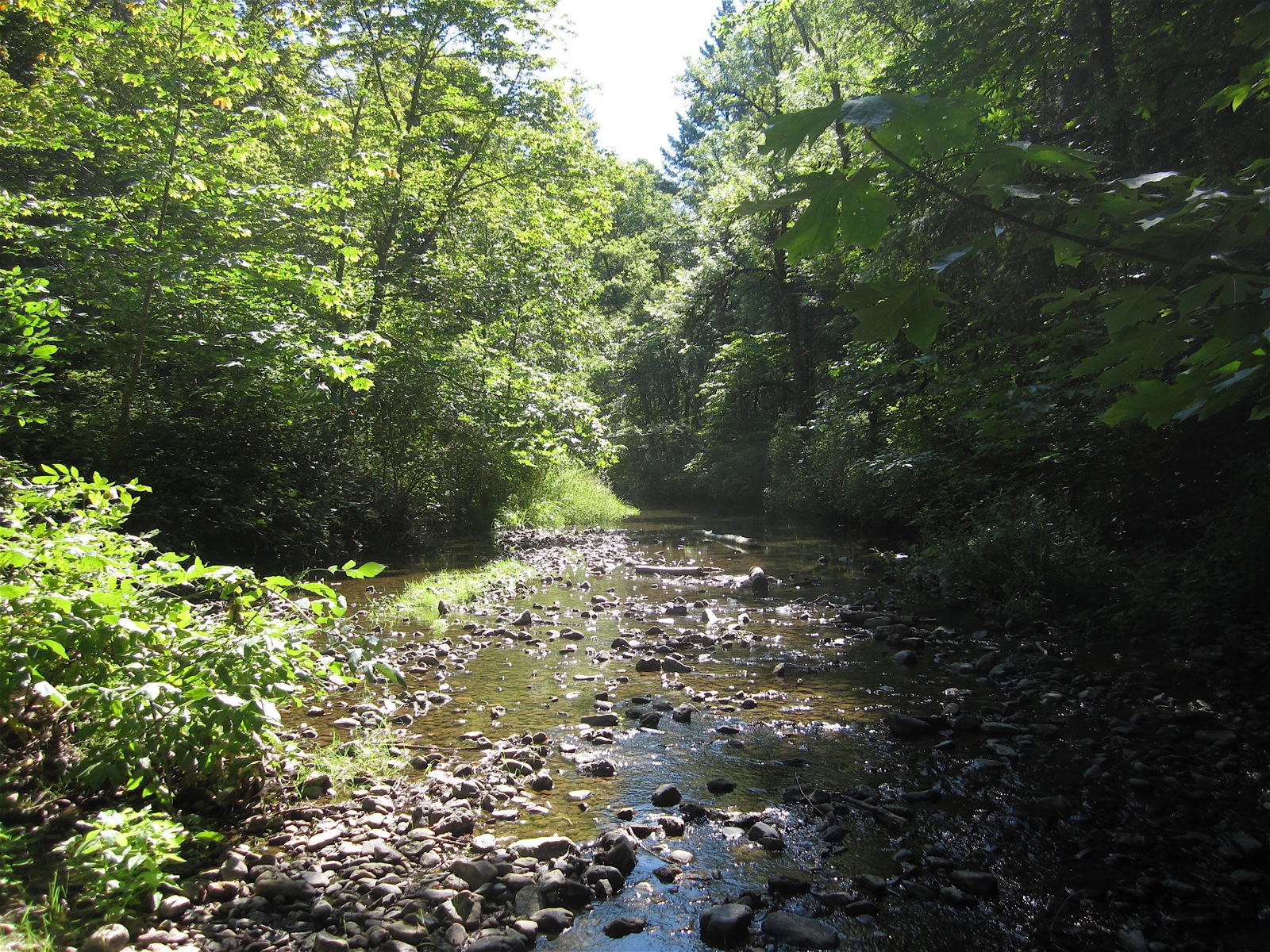
Graves Creek
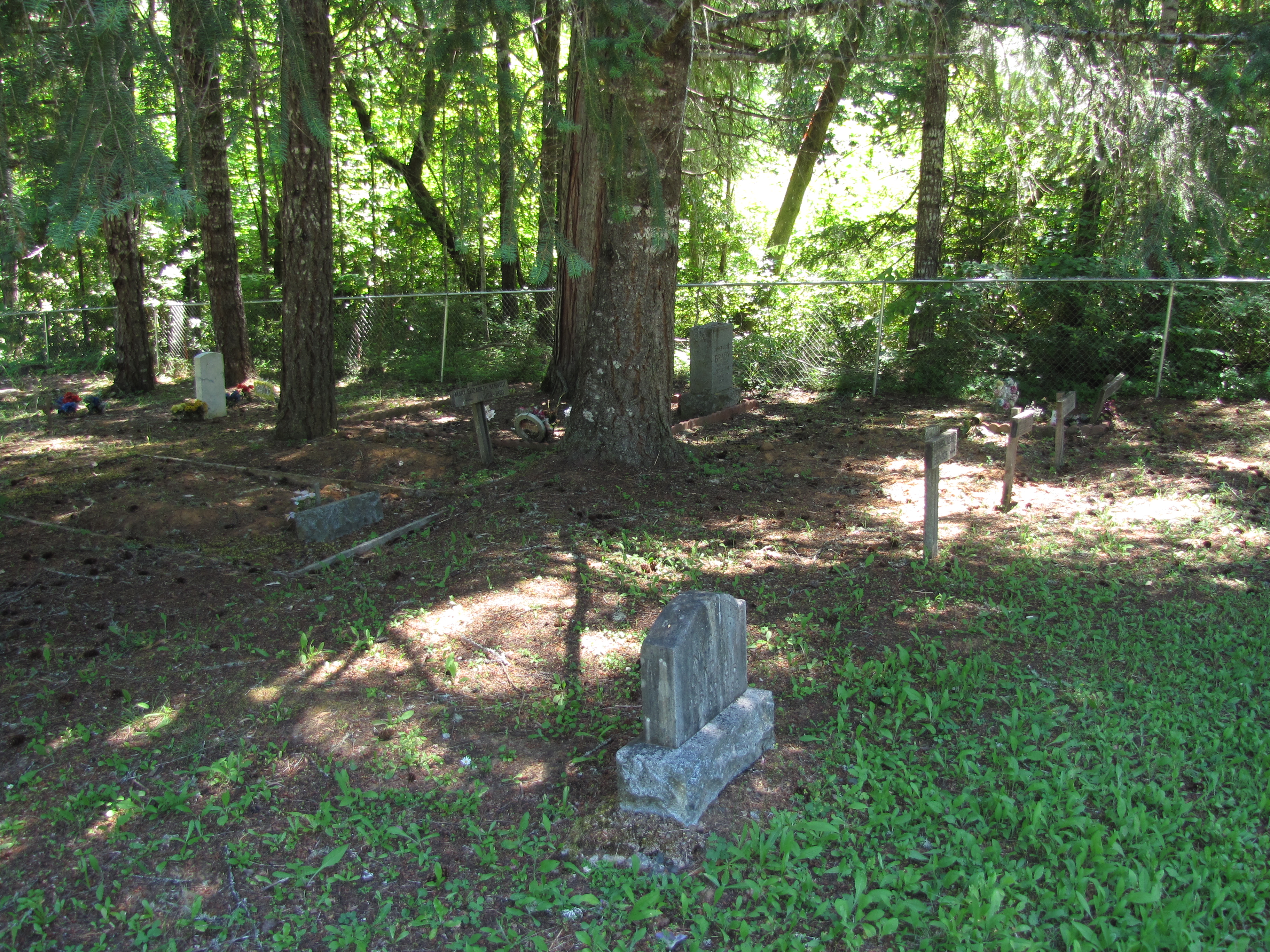
glendale memorial cemetery - glendale, or
a2007-06-09
Interstate 5
London Peak Trail

Lotus Hairstreak (Callophrys dumetorum)
Road Trip 20161230
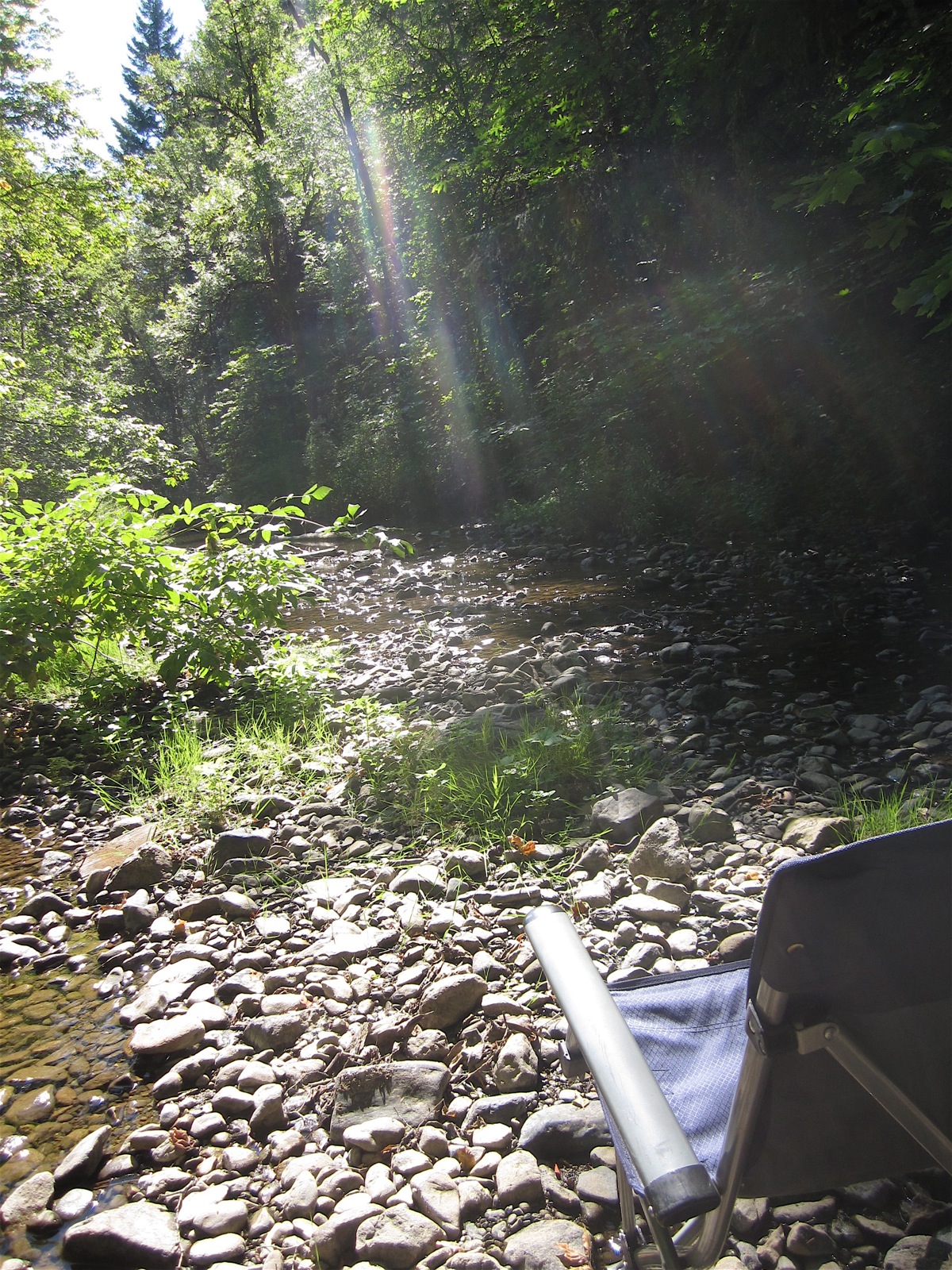
D70-0813-102 - Grave Creek

Raped Heart
Topographic Map of Glendale, OR, USA
Find elevation by address:

Places in Glendale, OR, USA:
Places near Glendale, OR, USA:
Wolf Creek
Fernvale
Rogue River
4752 Mt Reuben Rd
4752 Mt Reuben Rd
505 Barton Rd
4892 Lower Grave Creek Rd
Golden
Sunny Valley
1100 Placer Rd
4505 Coyote Creek Rd
311 Golden Creek Ct
405 Hitching Post Rd
Placer
Hugo
7029 Tunnel Loop Rd
Woodpath Ln, Azalea, OR, USA
330 Tunnel Creek Rd
1237 Shanks Creek Rd
Three Pines
Recent Searches:
- Elevation of Rojo Ct, Atascadero, CA, USA
- Elevation of Flagstaff Drive, Flagstaff Dr, North Carolina, USA
- Elevation of Avery Ln, Lakeland, FL, USA
- Elevation of Woolwine, VA, USA
- Elevation of Lumagwas Diversified Farmers Multi-Purpose Cooperative, Lumagwas, Adtuyon, RV32+MH7, Pangantucan, Bukidnon, Philippines
- Elevation of Homestead Ridge, New Braunfels, TX, USA
- Elevation of Orchard Road, Orchard Rd, Marlborough, NY, USA
- Elevation of 12 Hutchinson Woods Dr, Fletcher, NC, USA
- Elevation of Holloway Ave, San Francisco, CA, USA
- Elevation of Norfolk, NY, USA