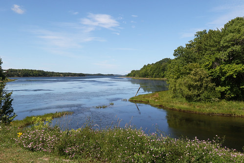
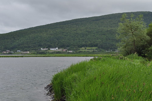
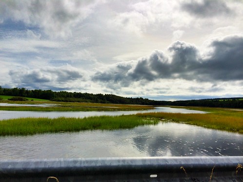
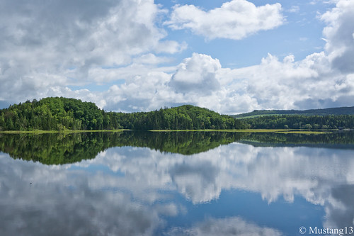
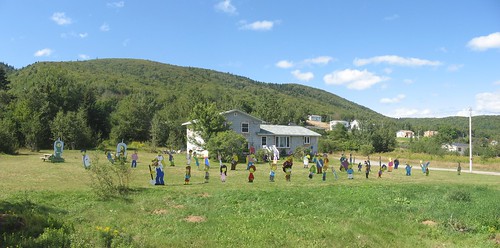
Elevation of Glencoe Mills, NS B0E 1X0, Canada
Location: Canada > Nova Scotia > Inverness County > Inverness, Subd. C >
Longitude: -61.316667
Latitude: 45.966667
Elevation: 117m / 384feet
Barometric Pressure: 100KPa
Related Photos:
Topographic Map of Glencoe Mills, NS B0E 1X0, Canada
Find elevation by address:

Places near Glencoe Mills, NS B0E 1X0, Canada:
448 Whycocomagh Port Hood Rd
Whycocomagh Port Hood Road
1752 Whycocomagh Port Hood Rd
1752 Whycocomagh Port Hood Rd
1752 Whycocomagh Port Hood Rd
Whycocomagh Port Hood Road
Whycocomagh Port Hood Road
Macleods Road
891 Sw Ridge Rd
891 Sw Ridge Rd
891 Sw Ridge Rd
NS-, Mabou, NS B0E 1X0, Canada
NS-, Mabou, NS B0E 1X0, Canada
Saint Ninian
Mabou Rd, Port Hood, NS B0E 2W0, Canada
Trans-Canada Hwy, Orangedale, NS B0E 2K0, Canada
Skye Glen
East Skye Glen Road
134 Stoney Brook Rd
8194 Nova Scotia Trunk 19
Recent Searches:
- Elevation of SW 57th Ave, Portland, OR, USA
- Elevation of Crocker Dr, Vacaville, CA, USA
- Elevation of Pu Ngaol Community Meeting Hall, HWHM+3X7, Krong Saen Monourom, Cambodia
- Elevation of Royal Ontario Museum, Queens Park, Toronto, ON M5S 2C6, Canada
- Elevation of Groblershoop, South Africa
- Elevation of Power Generation Enterprises | Industrial Diesel Generators, Oak Ave, Canyon Country, CA, USA
- Elevation of Chesaw Rd, Oroville, WA, USA
- Elevation of N, Mt Pleasant, UT, USA
- Elevation of 6 Rue Jules Ferry, Beausoleil, France
- Elevation of Sattva Horizon, 4JC6+G9P, Vinayak Nagar, Kattigenahalli, Bengaluru, Karnataka, India
