Elevation of Glenannon Rd, Wingham, ON N0G 2W0, Canada
Location: Canada > Ontario > Huron County >
Longitude: -81.253939
Latitude: 43.927542
Elevation: 330m / 1083feet
Barometric Pressure: 97KPa
Elevation Map:
Satellite Map:
Related Photos:
last sunrise
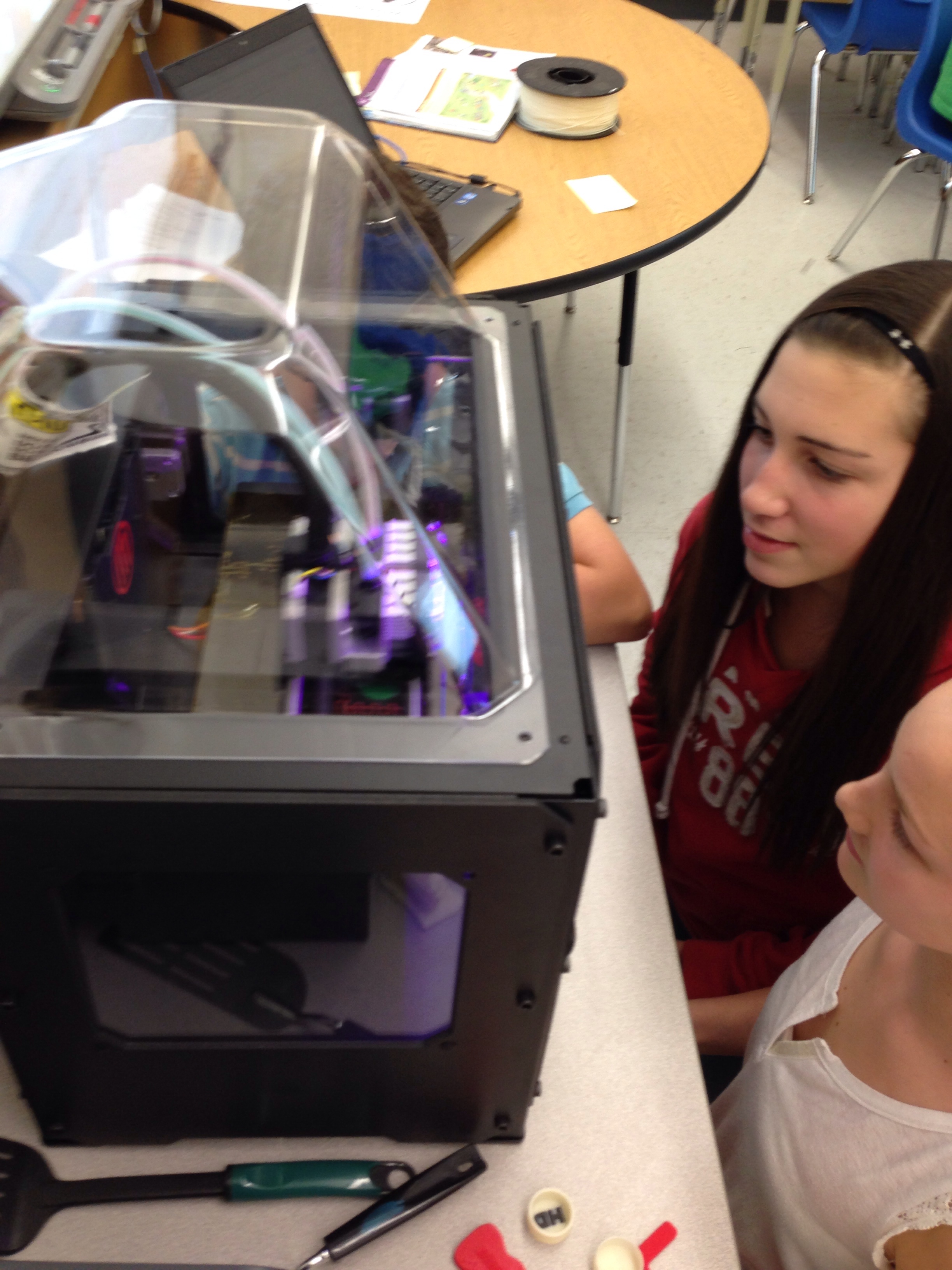
Day 337: Anticipating the .stl file @Makerbot
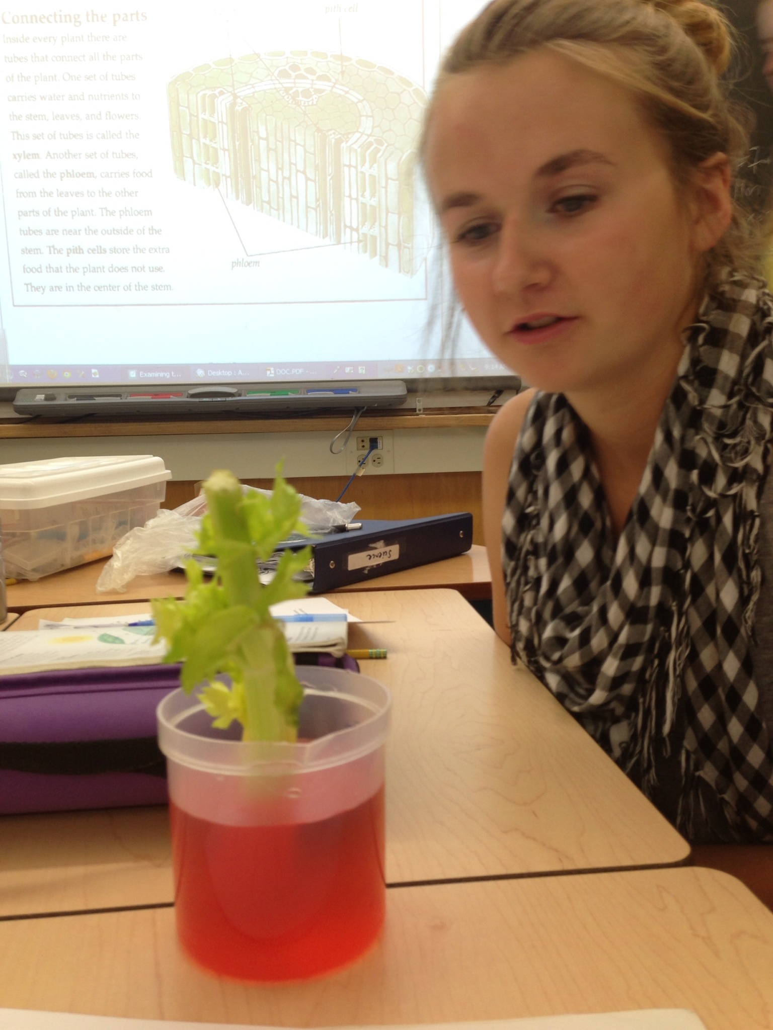
Day 160: It's not what you think
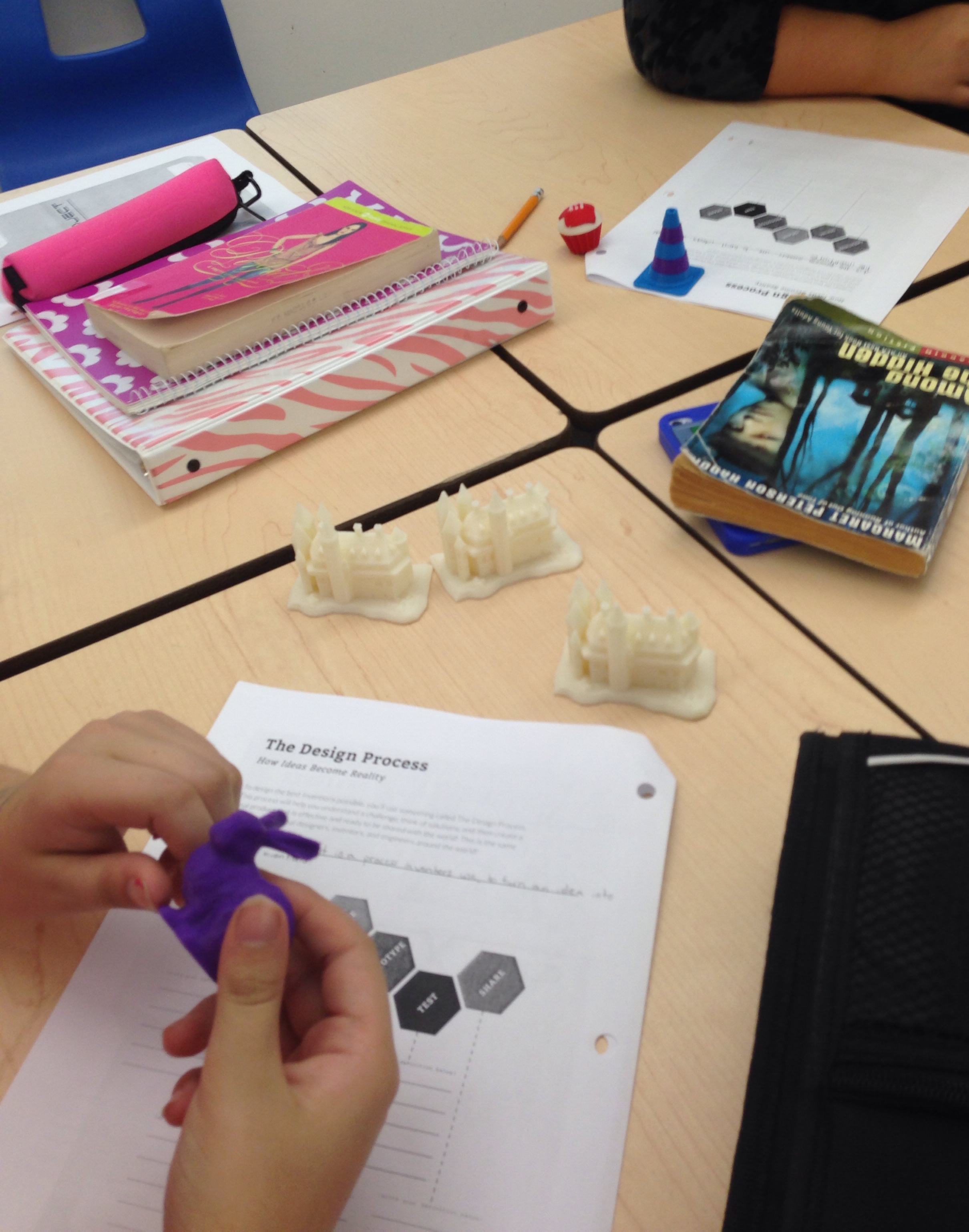
Day 1 City X Design Project
20140905-_E1A8934.jpg
20140905-_E1A8929.jpg
20140905-_E1A8941.jpg

Alice Munro 2016 (4 of 8)
Whales Mouth

20140905-_E1A8946.jpg
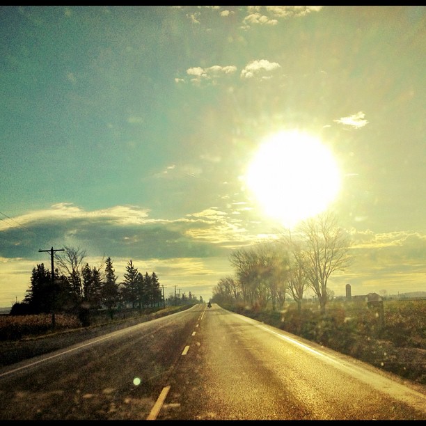
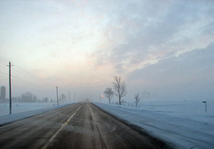
lonely road this morning
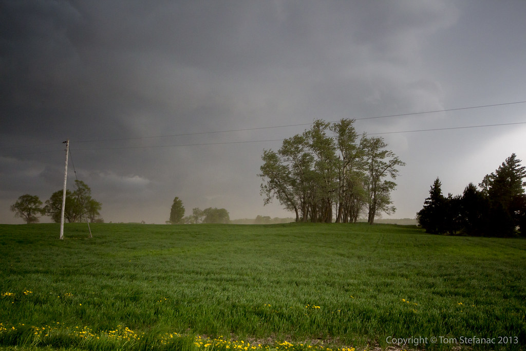
More Contrast
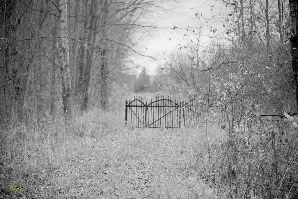
The Gate
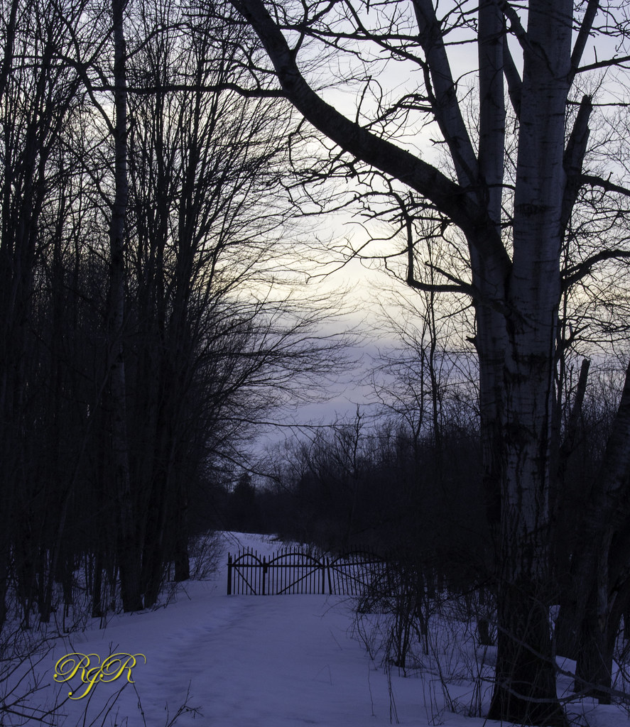
The Gate
orange hill road
Fence Friday
Day 163: Planks
Bluevale (1 of 24)

Bluevale (13 of 24)
Topographic Map of Glenannon Rd, Wingham, ON N0G 2W0, Canada
Find elevation by address:

Places near Glenannon Rd, Wingham, ON N0G 2W0, Canada:
270 Carling Terrace
Wingham
Bluevale
77 Hillcrest St E, Teeswater, ON N0G 2S0, Canada
Teeswater
39901 Huron County Rd 86
39901 Huron County Rd 86
39901 Huron County Rd 86
South Bruce
Brussels Line, Bluevale, ON N0G 1G0, Canada
Formosa
Huron Bruce Rd, Clifford, ON N0G 1M0, Canada
6 Whitechurch St, Wingham, ON N0G 2W0, Canada
Albert Street South
Gorrie
Brandon Road
19 Brandon Rd
Langside St, Lucknow, ON N0G 2H0, Canada
Mildmay
6 Pinkerton St
Recent Searches:
- Elevation of Congressional Dr, Stevensville, MD, USA
- Elevation of Bellview Rd, McLean, VA, USA
- Elevation of Stage Island Rd, Chatham, MA, USA
- Elevation of Shibuya Scramble Crossing, 21 Udagawacho, Shibuya City, Tokyo -, Japan
- Elevation of Jadagoniai, Kaunas District Municipality, Lithuania
- Elevation of Pagonija rock, Kranto 7-oji g. 8"N, Kaunas, Lithuania
- Elevation of Co Rd 87, Jamestown, CO, USA
- Elevation of Tenjo, Cundinamarca, Colombia
- Elevation of Côte-des-Neiges, Montreal, QC H4A 3J6, Canada
- Elevation of Bobcat Dr, Helena, MT, USA