Elevation of Gleichen, Germany
Location: Germany > Lower Saxony > Göttingen >
Longitude: 10.1038057
Latitude: 51.4821623
Elevation: 230m / 755feet
Barometric Pressure: 99KPa
Elevation Map:
Satellite Map:
Related Photos:
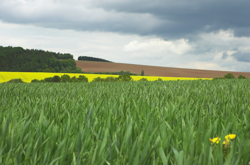
No straight horizon
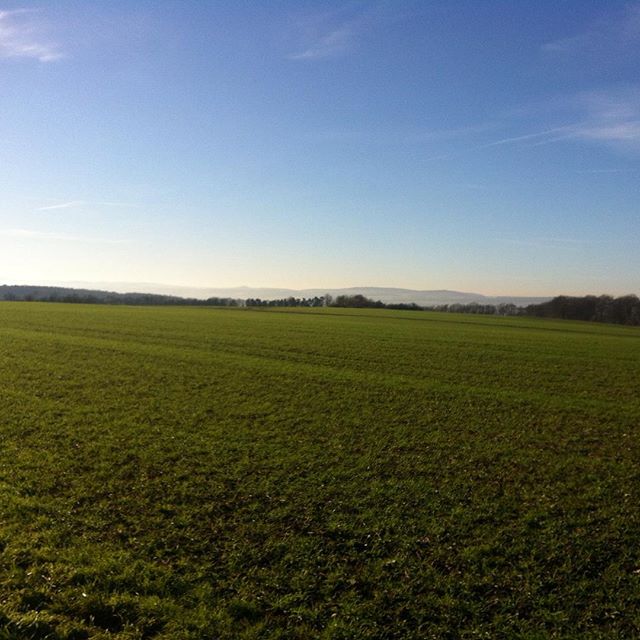
Blick vom Feldbornberg über das Leinetal/view...

View from the Goethe Institut
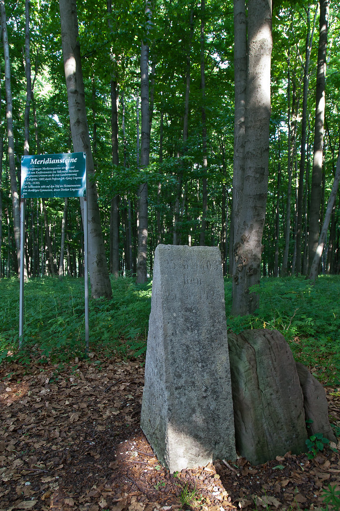
Kurfürstenstein Heilbad Heiligenstadt
Topographic Map of Gleichen, Germany
Find elevation by address:

Places near Gleichen, Germany:
15a
Neuendorf
Thalwenden
Mühlloch 7, Thalwenden, Germany
Bäckergasse 85, Lenterode, Germany
Lenterode
Birkenfelde
Oberes Eichholz, Birkenfelde, Germany
Göttingen
Gerbershausen
Krumbach 33, Gerbershausen, Germany
3a
Friedland
Bahnhofstraße 90, Neu-Eichenberg, Germany
Eichenberg
Neu-eichenberg
Berge
Neuenrode 2, Neu-Eichenberg, Germany
Am Markt 8, Witzenhausen, Germany
Witzenhausen
Recent Searches:
- Elevation of Corso Fratelli Cairoli, 35, Macerata MC, Italy
- Elevation of Tallevast Rd, Sarasota, FL, USA
- Elevation of 4th St E, Sonoma, CA, USA
- Elevation of Black Hollow Rd, Pennsdale, PA, USA
- Elevation of Oakland Ave, Williamsport, PA, USA
- Elevation of Pedrógão Grande, Portugal
- Elevation of Klee Dr, Martinsburg, WV, USA
- Elevation of Via Roma, Pieranica CR, Italy
- Elevation of Tavkvetili Mountain, Georgia
- Elevation of Hartfords Bluff Cir, Mt Pleasant, SC, USA