Elevation of Girmajipet, Warangal, Telangana, India
Location: India > Telangana > Warangal > Warangal >
Longitude: 79.6038842
Latitude: 17.9796727
Elevation: 276m / 906feet
Barometric Pressure: 98KPa
Elevation Map:
Satellite Map:
Related Photos:

Panoramic View from Ekashila Gutta

Panoramic View of Thousand Pillar Temple
Ruins of the Warangal Fort.

Shooting into the sunlight
Using the light

Bhadrakali Lake, Warangal

Sunset on my roof top (Magic hour)
kakatiya Kala Thoranam - Akbar, Warangal
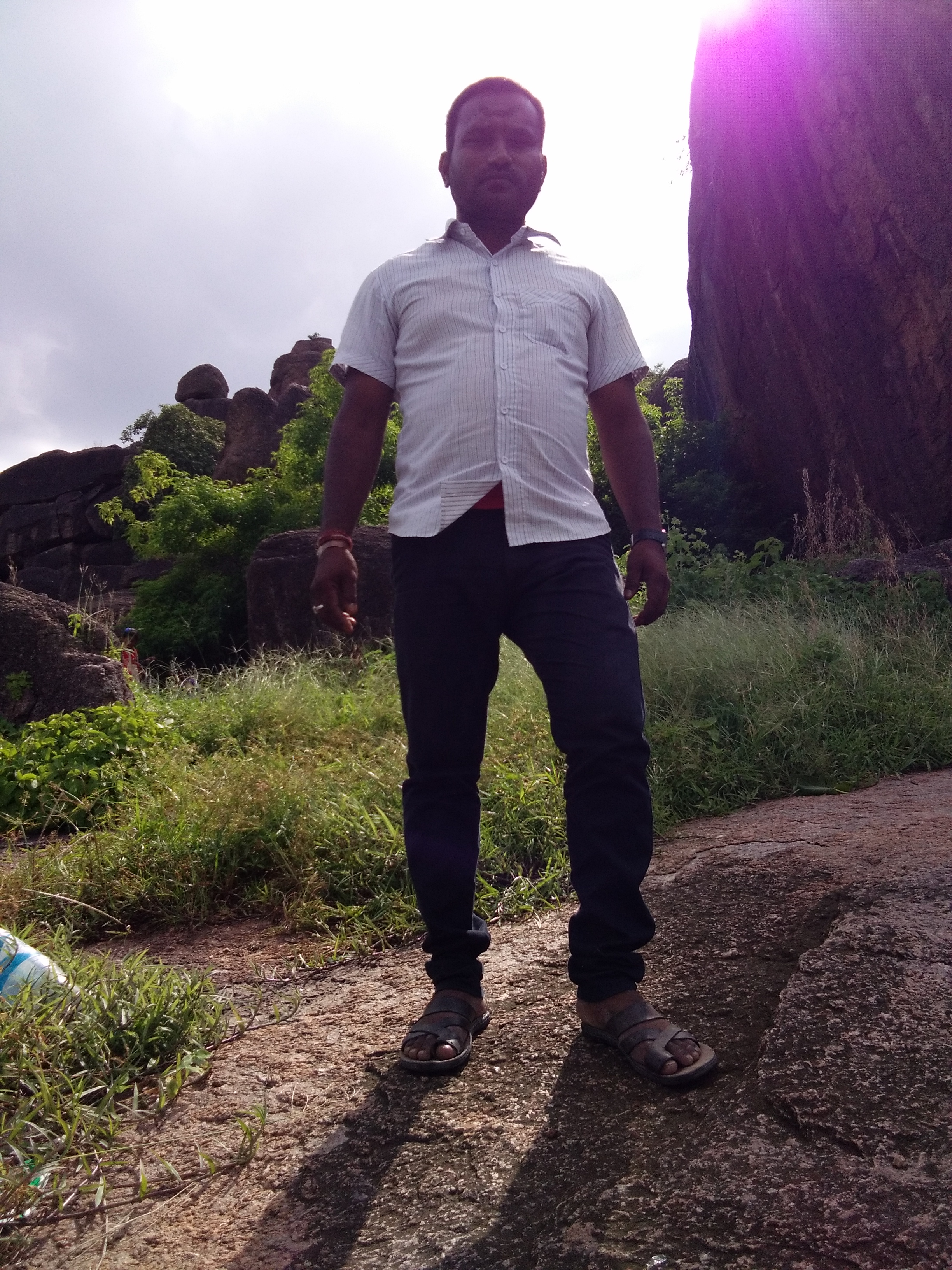
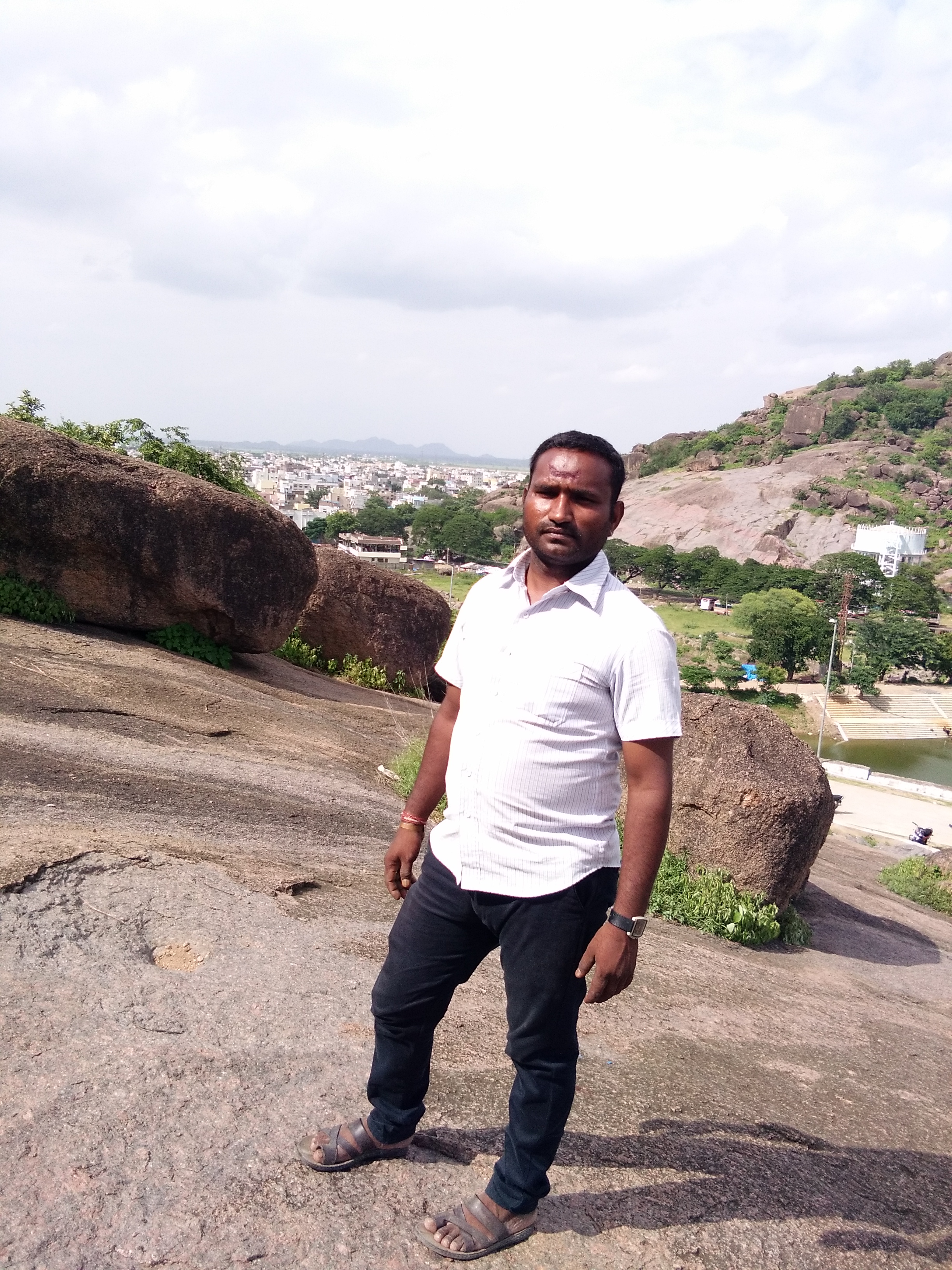
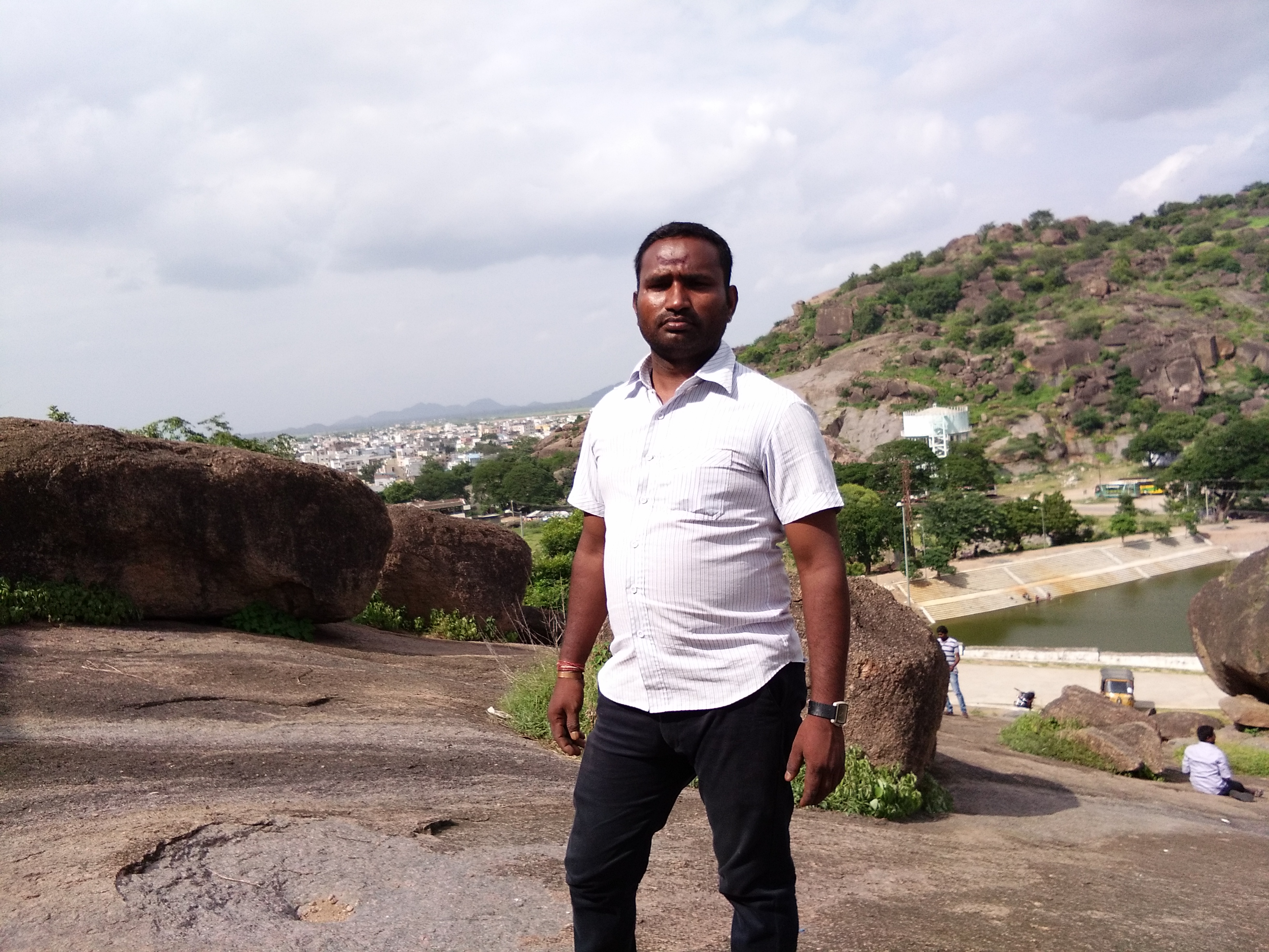
Sampathkumur gaje
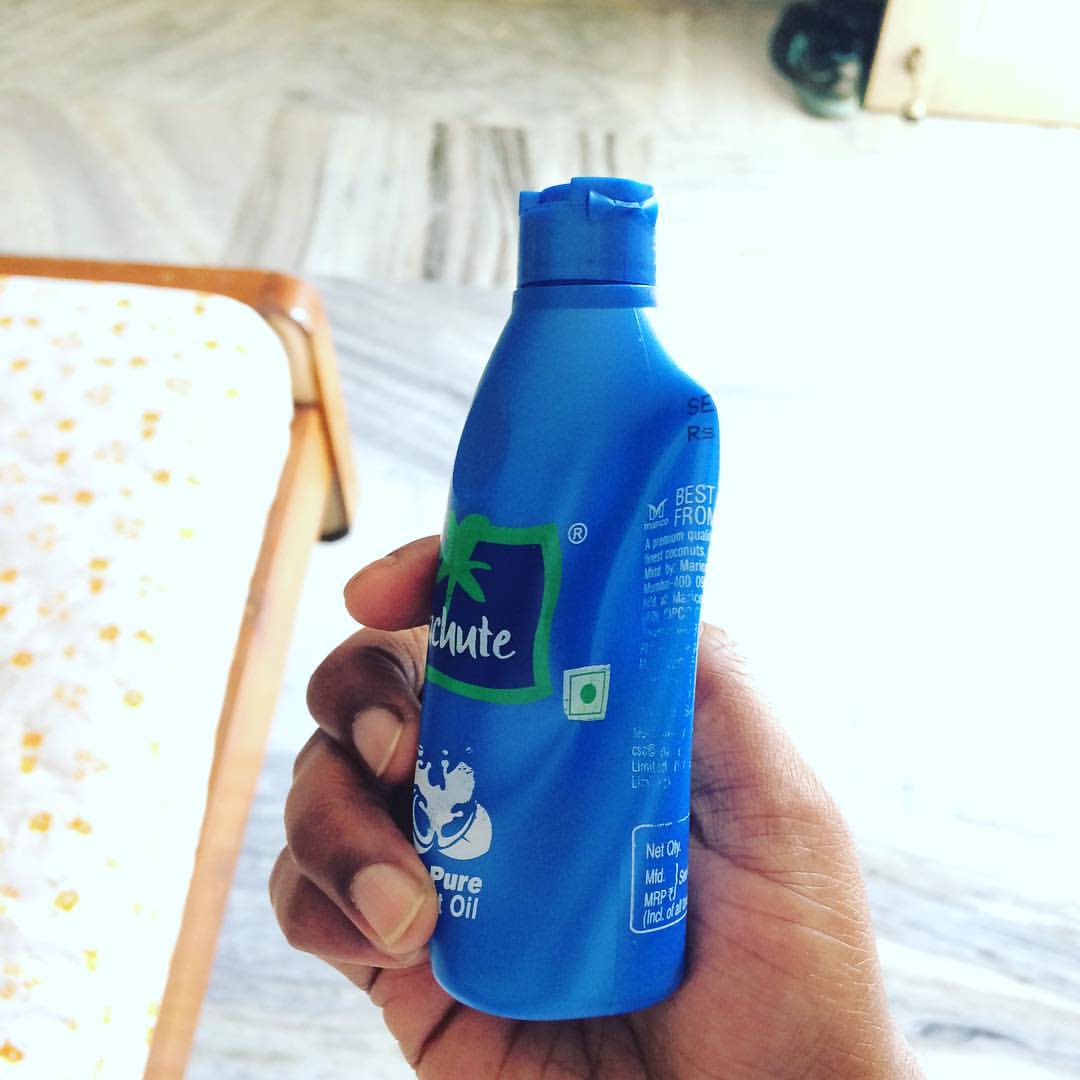
Mild Winters that freeze our coconut oil is here in the #south. #india #parachuteoil #coconutoil

Swamiye Saranam Ayyappa ???? #swamiyesaranamayyappa #swamy #swamysaranam #devotional #god #miracles #love

Swamiye Saranam Ayyappa ???????? #swamy #saranam #ayyappa #swamysaranam #devotional #black #blackandwhite

Sampathkumur gaje

Sampathkumur gaje
Sampathkumur gaje

Sampathkumur gaje
Sampathkumur gaje
Sampathkumur gaje
Sampathkumur gaje
Sampathkumur gaje

Sampathkumur gaje
Sampathkumur gaje

Sampathkumur gaje
Sampathkumur gaje
Sampathkumur gaje

Sampathkumur gaje

Sampathkumur gaje

Sampathkumur gaje

Sampathkumur gaje
Topographic Map of Girmajipet, Warangal, Telangana, India
Find elevation by address:

Places near Girmajipet, Warangal, Telangana, India:
Ghanpur Station
Warangal
Dharmasagar Lake
Dharmasagar
Nekkonda
Chennaraopet
Narsampet
Warangal
Palakurthy
Kesamudram
Gudur
Palakurthi Someshwar Lakshmi Narasimha Temple
Husnabad
Narmetta
Koheda
Mahabubabad
Maddur
Gundala
Tungaturthi
Nangnoor
Recent Searches:
- Elevation of Leguwa, Nepal
- Elevation of County Rd, Enterprise, AL, USA
- Elevation of Kolchuginsky District, Vladimir Oblast, Russia
- Elevation of Shustino, Vladimir Oblast, Russia
- Elevation of Lampiasi St, Sarasota, FL, USA
- Elevation of Elwyn Dr, Roanoke Rapids, NC, USA
- Elevation of Congressional Dr, Stevensville, MD, USA
- Elevation of Bellview Rd, McLean, VA, USA
- Elevation of Stage Island Rd, Chatham, MA, USA
- Elevation of Shibuya Scramble Crossing, 21 Udagawacho, Shibuya City, Tokyo -, Japan