Elevation of Gilman Springs Rd, Moreno Valley, CA, USA
Location: United States > California > Riverside County > Moreno Valley >
Longitude: -117.05445
Latitude: 33.8793182
Elevation: 456m / 1496feet
Barometric Pressure: 96KPa
Elevation Map:
Satellite Map:
Related Photos:

Sunset Valley I

Valley View

Back From the Desert

ABILITY COUNTS INCORPORATED

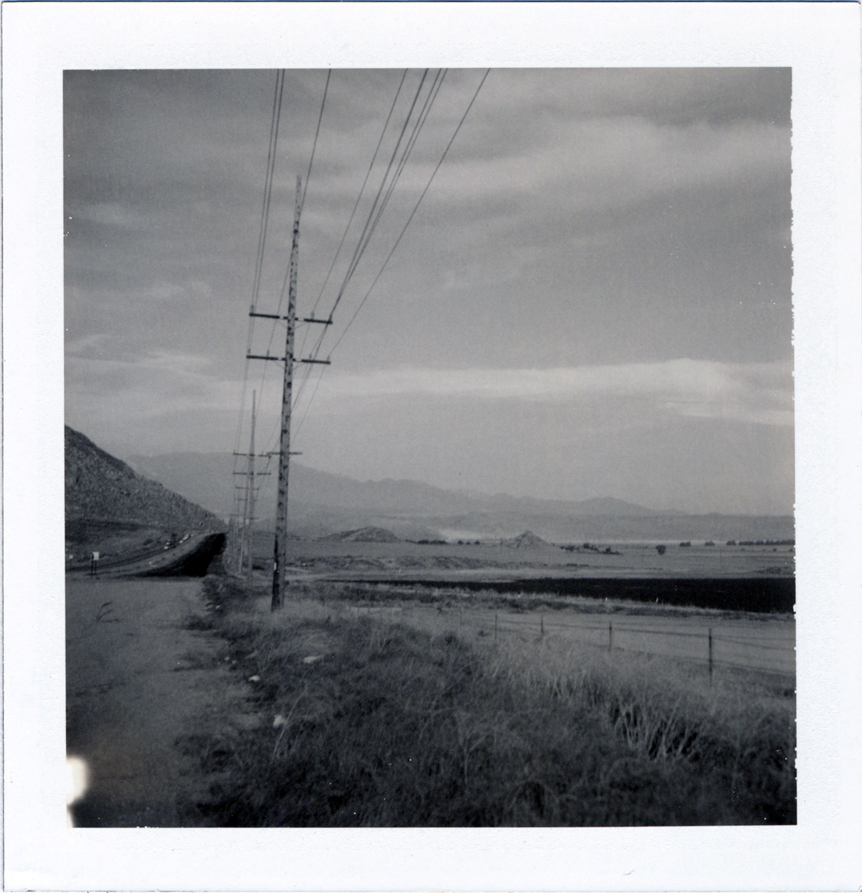
Leaving San Bernardino - aerial view
Lakeview Hot Springs, CA

Northern Shoveler 4767

ATK 714E @ El Casco

Day 347/365: I know I'm going where the sun always shines (explored #328 on June 8, 2009)

sunny rear view

Not Too Shabby

the view from here [7:52]

Bogart Park_0068

"Fall has always been my favorite season
I Should Of Known Something Was Wrong ...

Bogart Park_0058
Valley View II

Bogart Park_0041

Bogart Park_0059

Bogart Park_0039
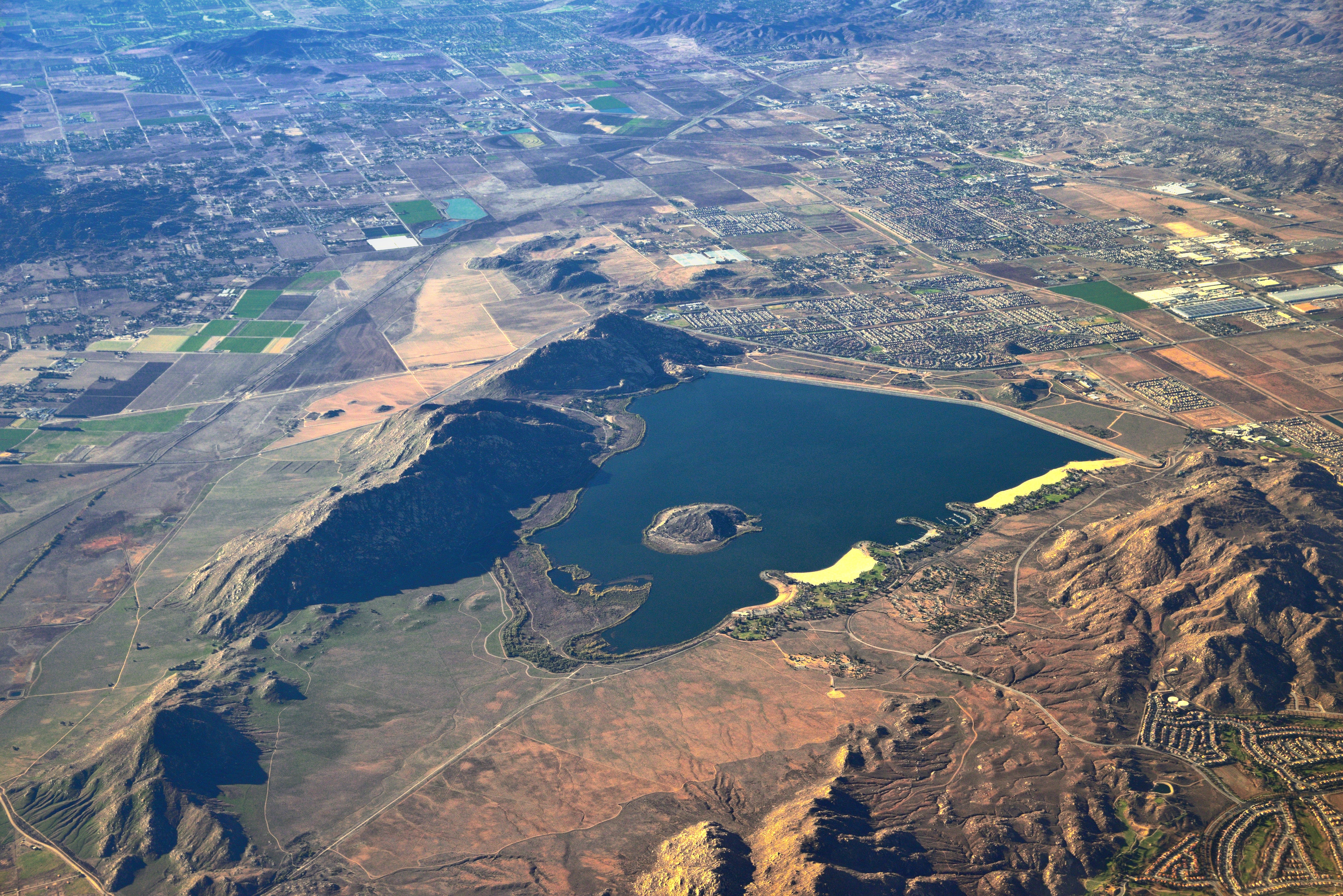
Lake Perris, Surrounded by Hills and Mountains

Nuevo Tormenta

UP 7492

Summer Splendor
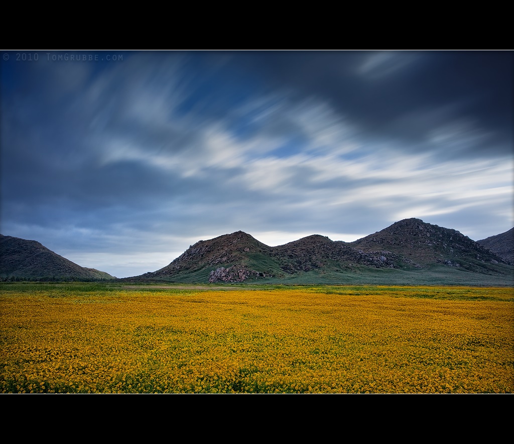
Dream Field

UP 7939

Fire under a Full Moon II

Sunset Melody
Underworld II

Summer Pond
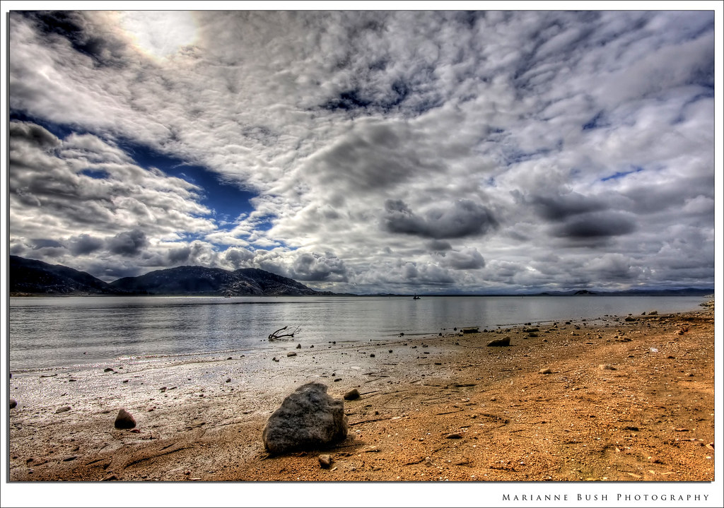
Clouds over Lake Perris
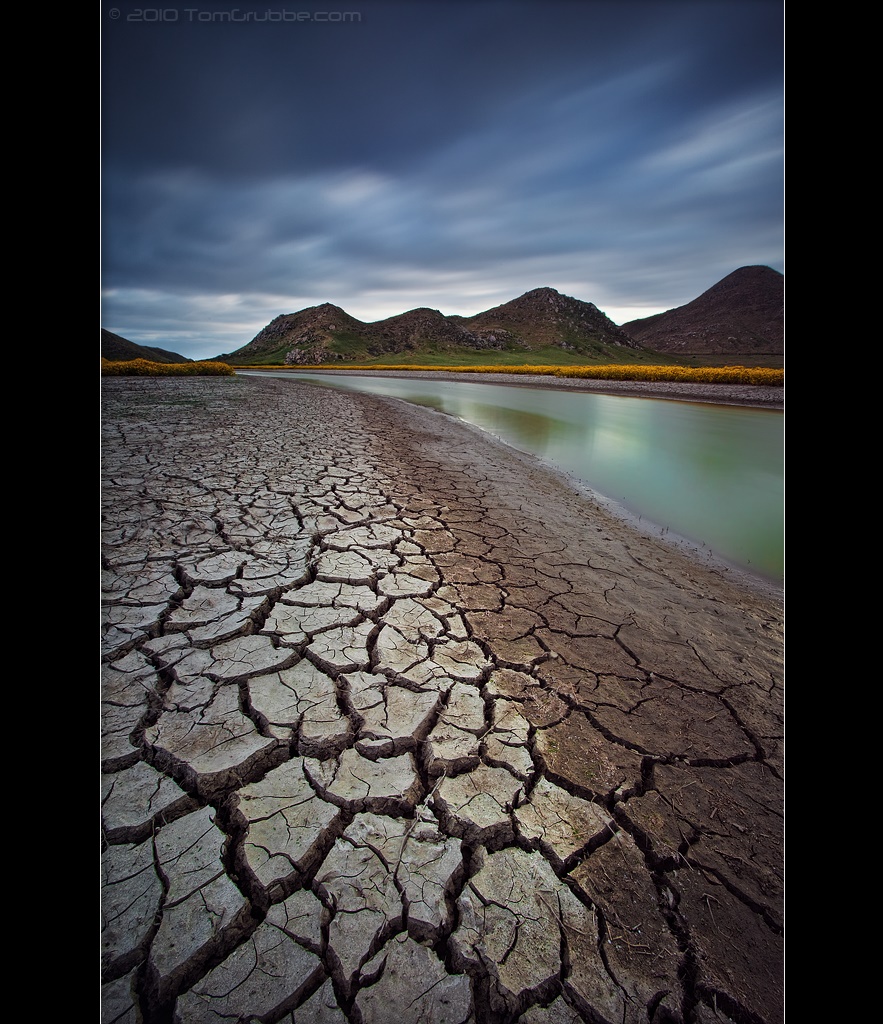
Stream Through Time II

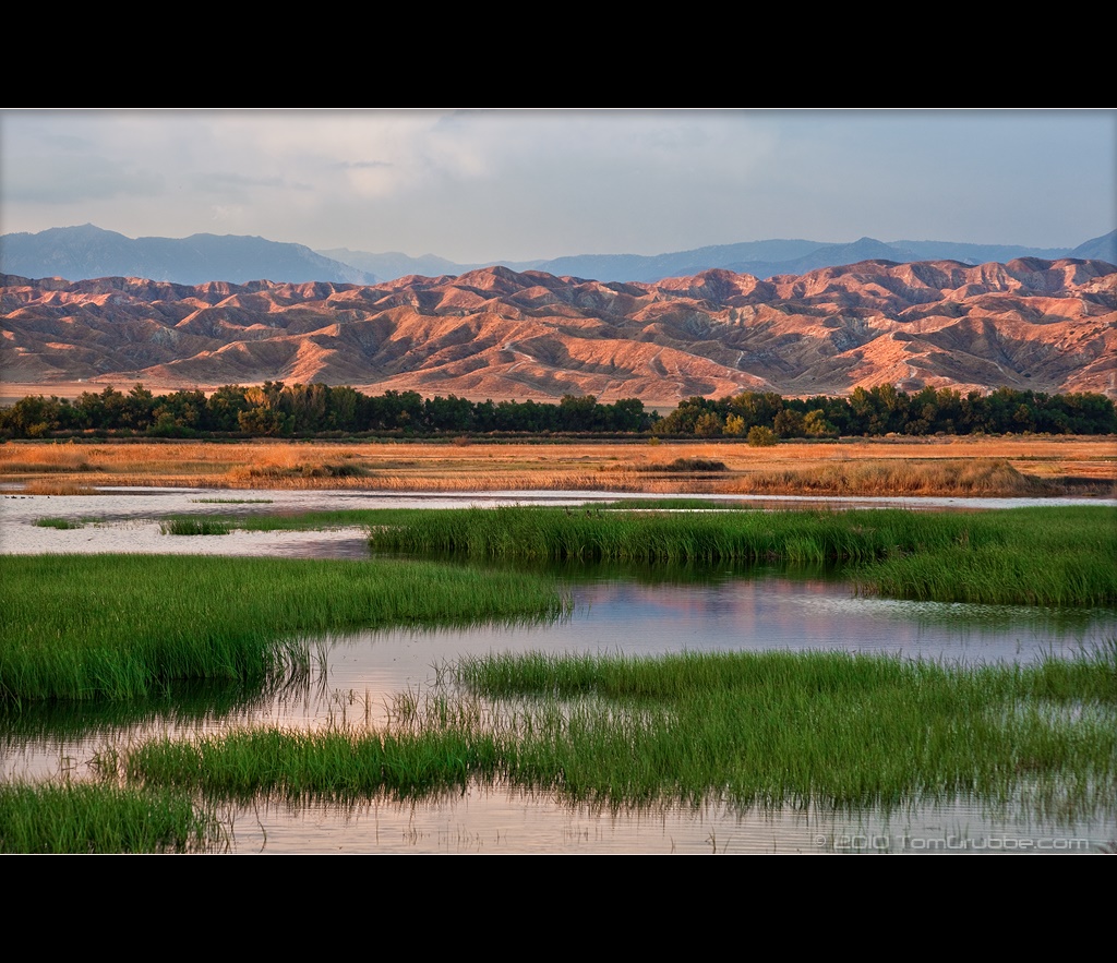
Earth and Grass
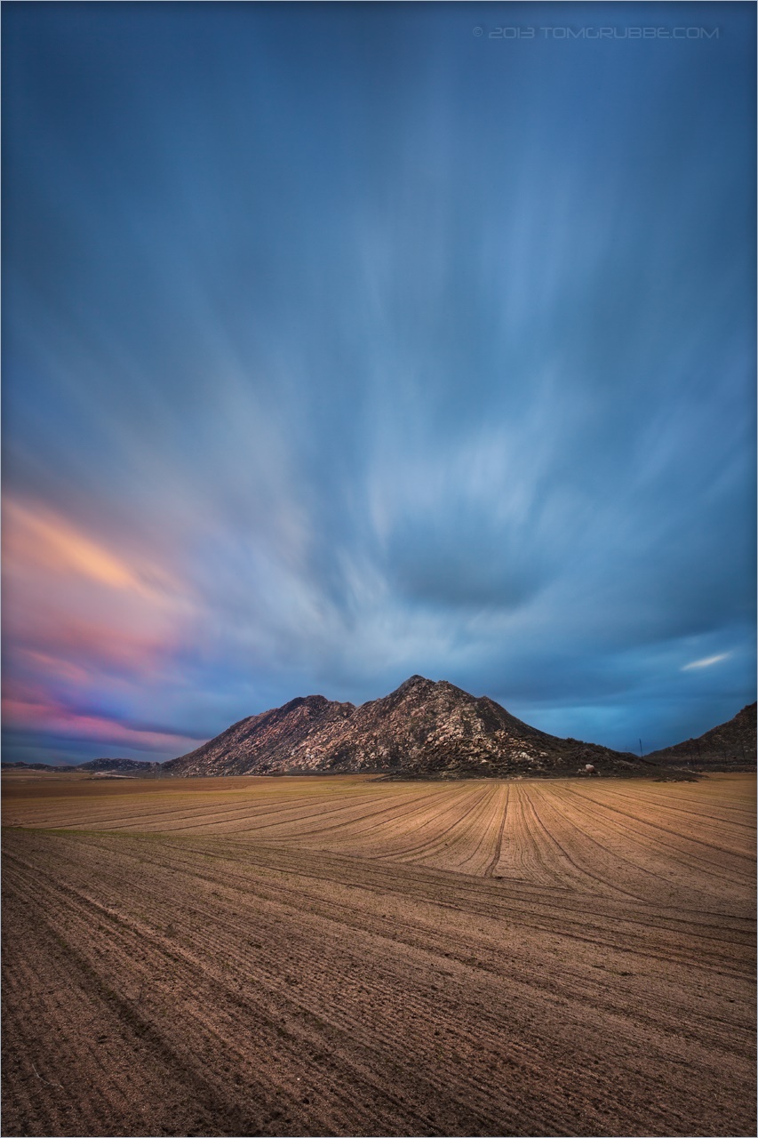
Nuevo Tormenta LE
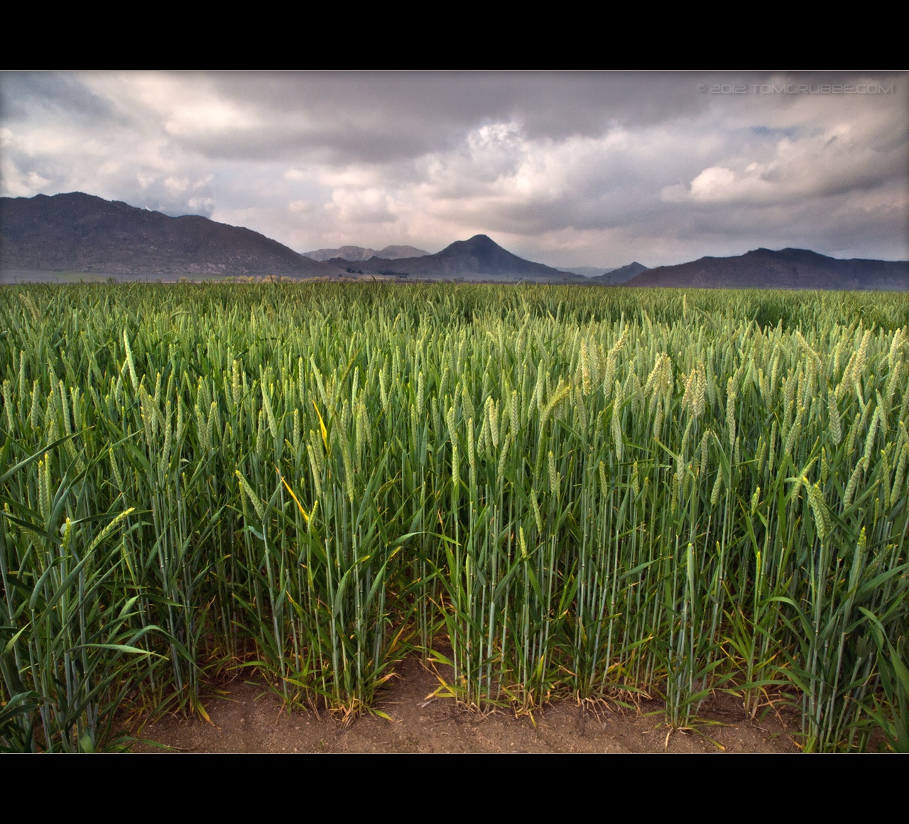
Spring Crop
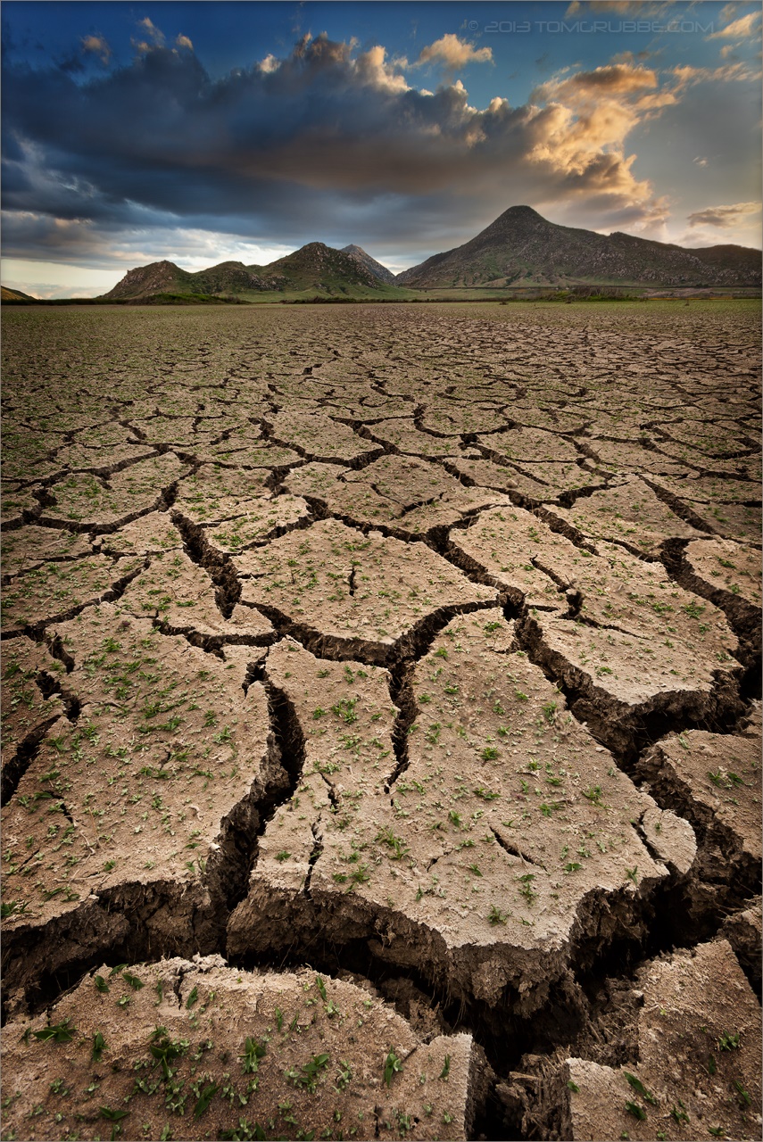
Grass and Badlands

Spring Valley

A Storm's Reward
Topographic Map of Gilman Springs Rd, Moreno Valley, CA, USA
Find elevation by address:

Places near Gilman Springs Rd, Moreno Valley, CA, USA:
Eden Hot Springs Rd, Moreno Valley, CA, USA
Ramona Expy, San Jacinto, CA, USA
1455 N Warren Rd
19625 Gilman Springs Rd
861 W 4th St
Beaumont Avenue
Gilman Hot Springs
1648 Constant Trl
189 Loma Avenue
1455 Warren Rd
1521 Big Bend
28 Newburn Ct
Rio Grande
289 Chimney Rock
1583 Rio Grande
641 Black Cherry St
1671 Beaver Creek A
6201 Indian Canyon Dr
Breckenridge Avenue
1088 Doral Ct
Recent Searches:
- Elevation of Corso Fratelli Cairoli, 35, Macerata MC, Italy
- Elevation of Tallevast Rd, Sarasota, FL, USA
- Elevation of 4th St E, Sonoma, CA, USA
- Elevation of Black Hollow Rd, Pennsdale, PA, USA
- Elevation of Oakland Ave, Williamsport, PA, USA
- Elevation of Pedrógão Grande, Portugal
- Elevation of Klee Dr, Martinsburg, WV, USA
- Elevation of Via Roma, Pieranica CR, Italy
- Elevation of Tavkvetili Mountain, Georgia
- Elevation of Hartfords Bluff Cir, Mt Pleasant, SC, USA