Elevation of Gilda Ct, Keystone Heights, FL, USA
Longitude: -81.916855
Latitude: 29.819156
Elevation: 38m / 125feet
Barometric Pressure: 101KPa
Elevation Map:
Satellite Map:
Related Photos:
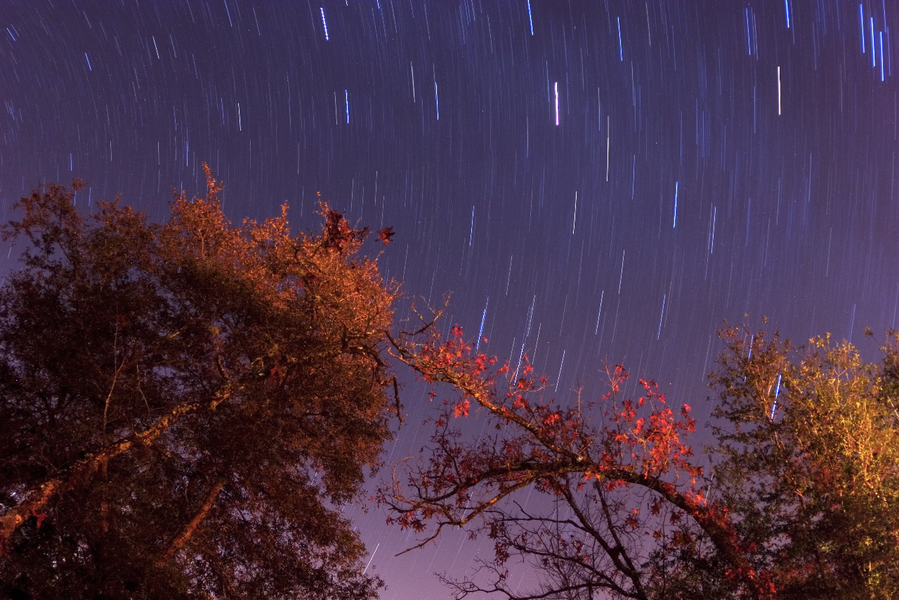
Star Trails - Gold Head Branch State Park
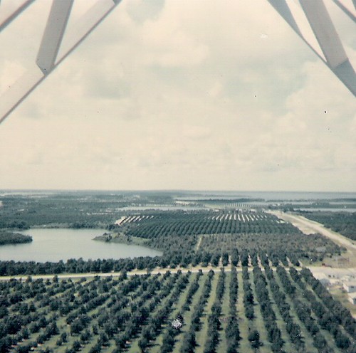
From top of fire tower-June 1966
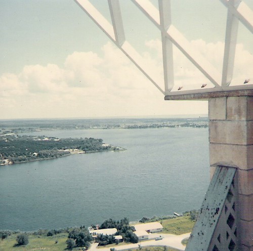
Lake Brooklyn from atop fire tower
View from the Cabin
Brown Thrasher (Toxostoma rufum)

House Wren (Troglodytes aedon)

Grandpa's toy room

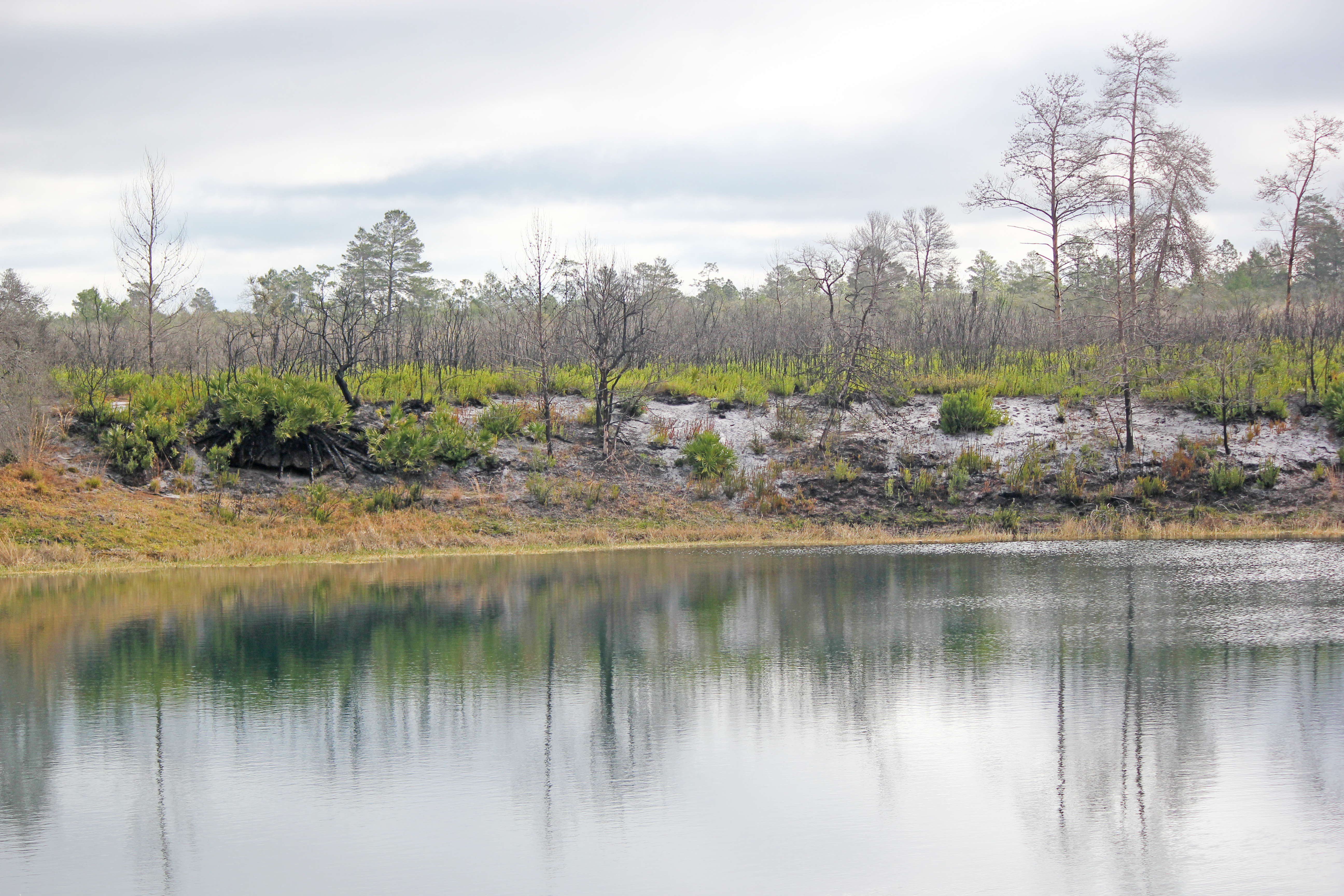
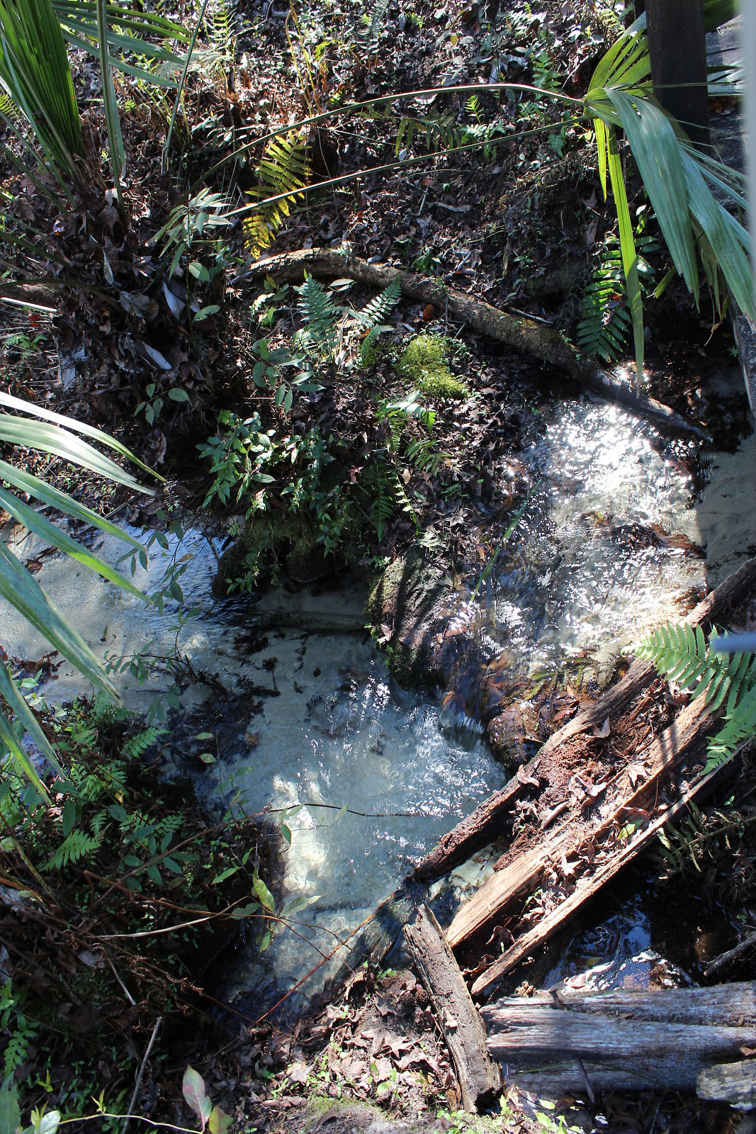
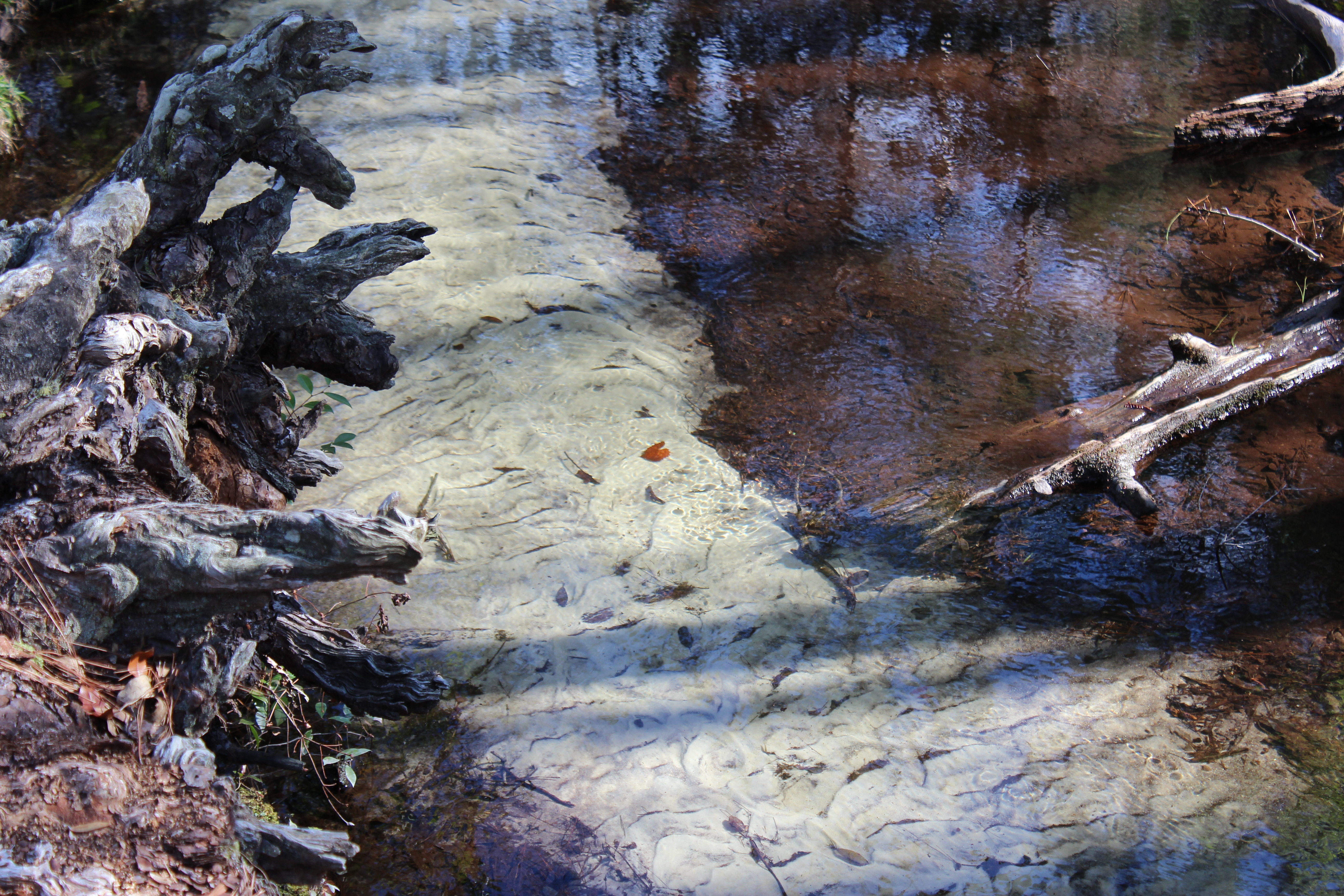
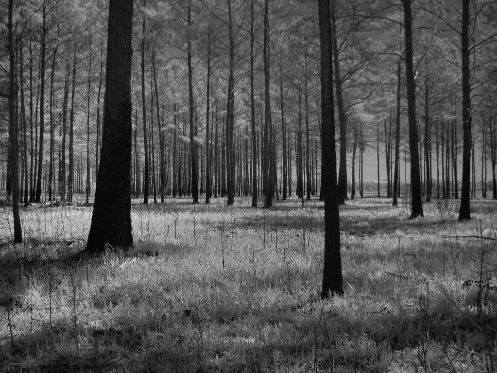
Etoniah Creek State Forest
Etoniah Creek State Forest

Etoniah Creek State Forest
Etoniah Creek State Forest

Etoniah Creek State Forest
Etoniah Creek State Forest

Spanish moss in the oaks

Spanish moss in the oaks
Devil's Washbasin
IMG_2171.JPG

Spanish moss in the oaks
20100313_Melrose@FL_Swan Lake House_014_nEO
IMG_2222.JPG
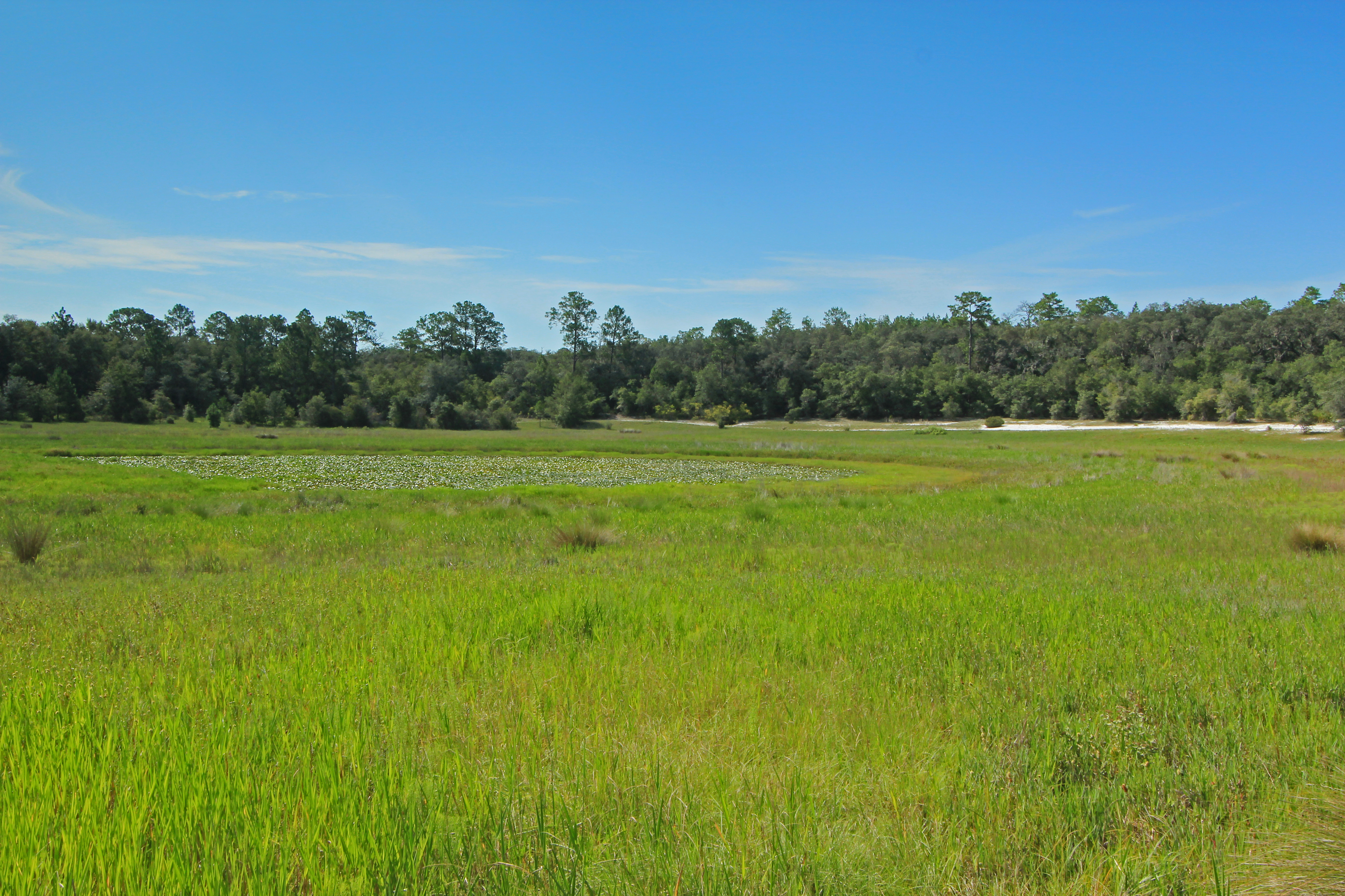
Depression Marsh, once part of Big Lake Johnson, Mike Roess Goldhead Branch State Park, Putnam County, Florida 1
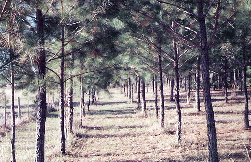
Pine Forest-McRae, Florida
For the Trees

20100313_Melrose@FL_Swan Lake House_009_nEO

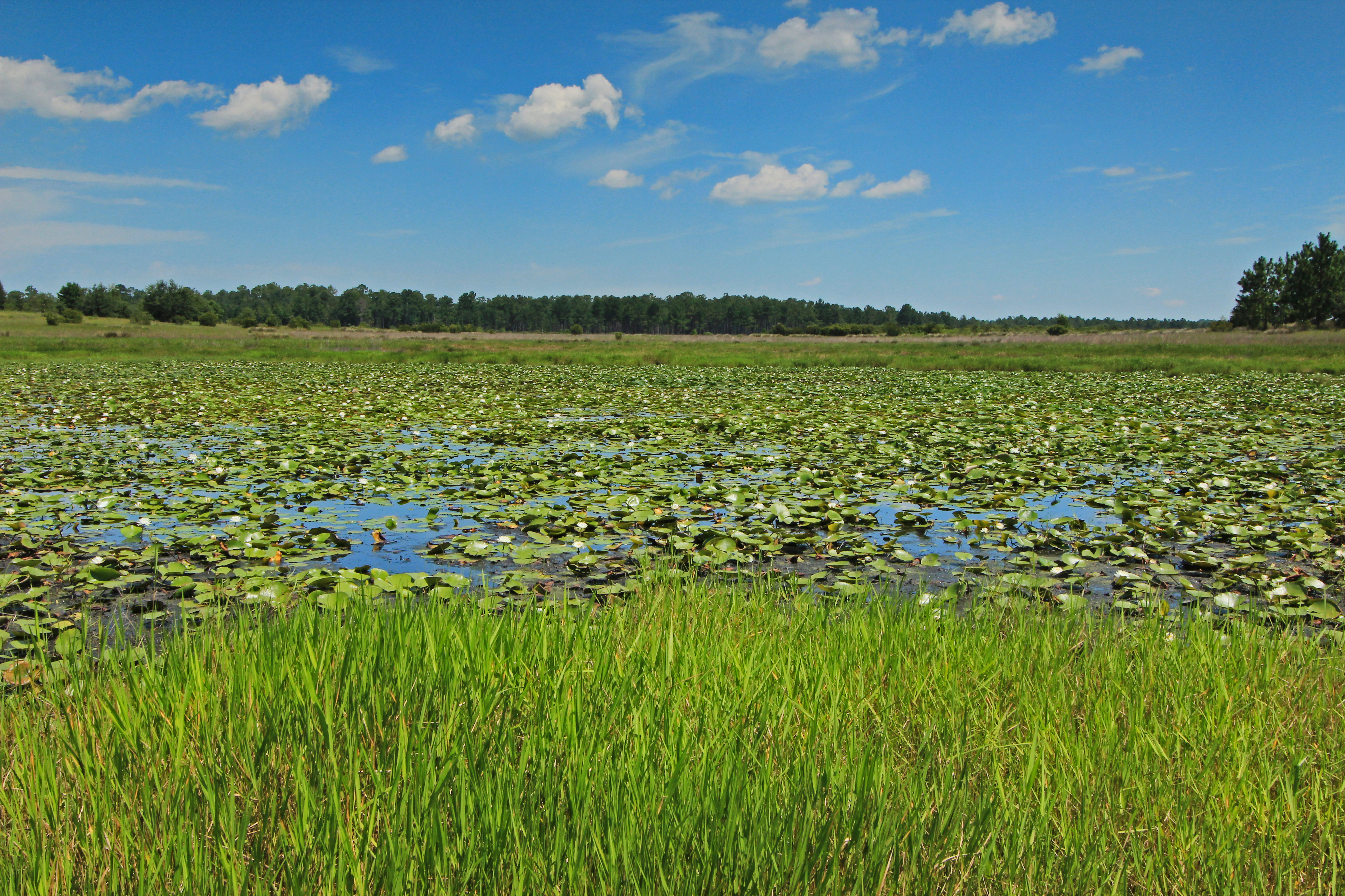
Little Lake Johnson, once part of Big Lake Johnson, Mike Roess Goldhead Branch State Park, Putnam County, Florida 1

20080323_Florida_BeachDay (4)
Depression Marsh, once part of Big Lake Johnson, Mike Roess Goldhead Branch State Park, Putnam County, Florida 3

Black Creek, Camp Blanding
Topographic Map of Gilda Ct, Keystone Heights, FL, USA
Find elevation by address:

Places near Gilda Ct, Keystone Heights, FL, USA:
Mcrae Elementary School
Panther Trail
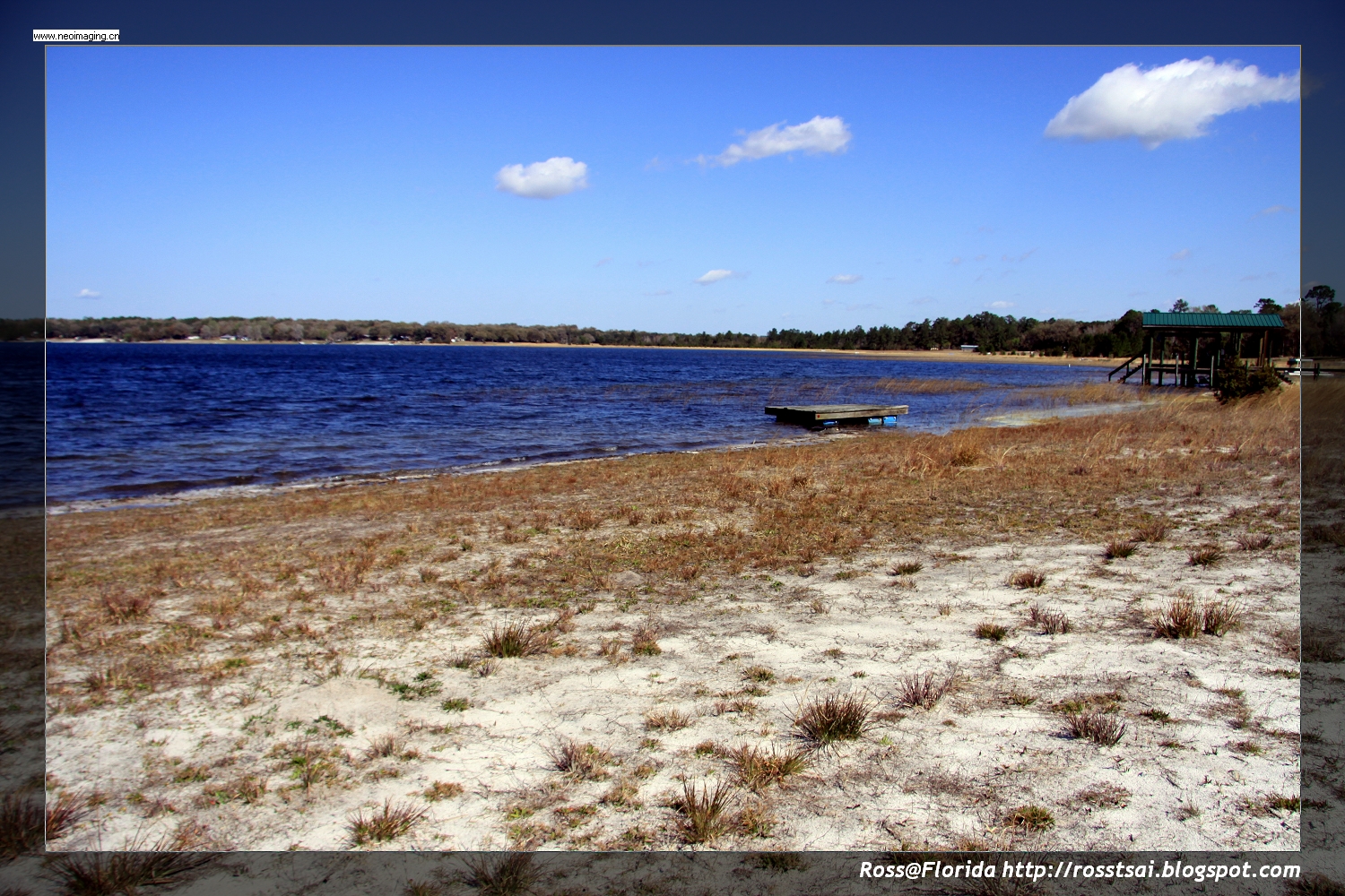
Hall Lake
Keystone Heights, FL, USA
5130 Co Rd 214
5128 Co Rd 214
5707 Caribbean Cir
6991 Gatorbone Rd
5507 Jefferson St
5507 Jefferson St
7076 Bright Water Dr
7076 Bright Water Dr
5556 Jefferson St
Mike Roess Gold Head Branch State Park
5666 Silver Sands Cir
5545 State Rd 21
5905 Co Rd 352
Brush Hill Lane
Ranchette Road
5825 Sunset Crater Dr
Recent Searches:
- Elevation of Elwyn Dr, Roanoke Rapids, NC, USA
- Elevation of Congressional Dr, Stevensville, MD, USA
- Elevation of Bellview Rd, McLean, VA, USA
- Elevation of Stage Island Rd, Chatham, MA, USA
- Elevation of Shibuya Scramble Crossing, 21 Udagawacho, Shibuya City, Tokyo -, Japan
- Elevation of Jadagoniai, Kaunas District Municipality, Lithuania
- Elevation of Pagonija rock, Kranto 7-oji g. 8"N, Kaunas, Lithuania
- Elevation of Co Rd 87, Jamestown, CO, USA
- Elevation of Tenjo, Cundinamarca, Colombia
- Elevation of Côte-des-Neiges, Montreal, QC H4A 3J6, Canada