Elevation of Gibson Peak, Colorado, USA
Location: United States > Colorado > Moffat >
Longitude: -105.71223
Latitude: 38.0730546
Elevation: 3892m / 12769feet
Barometric Pressure: 62KPa
Elevation Map:
Satellite Map:
Related Photos:
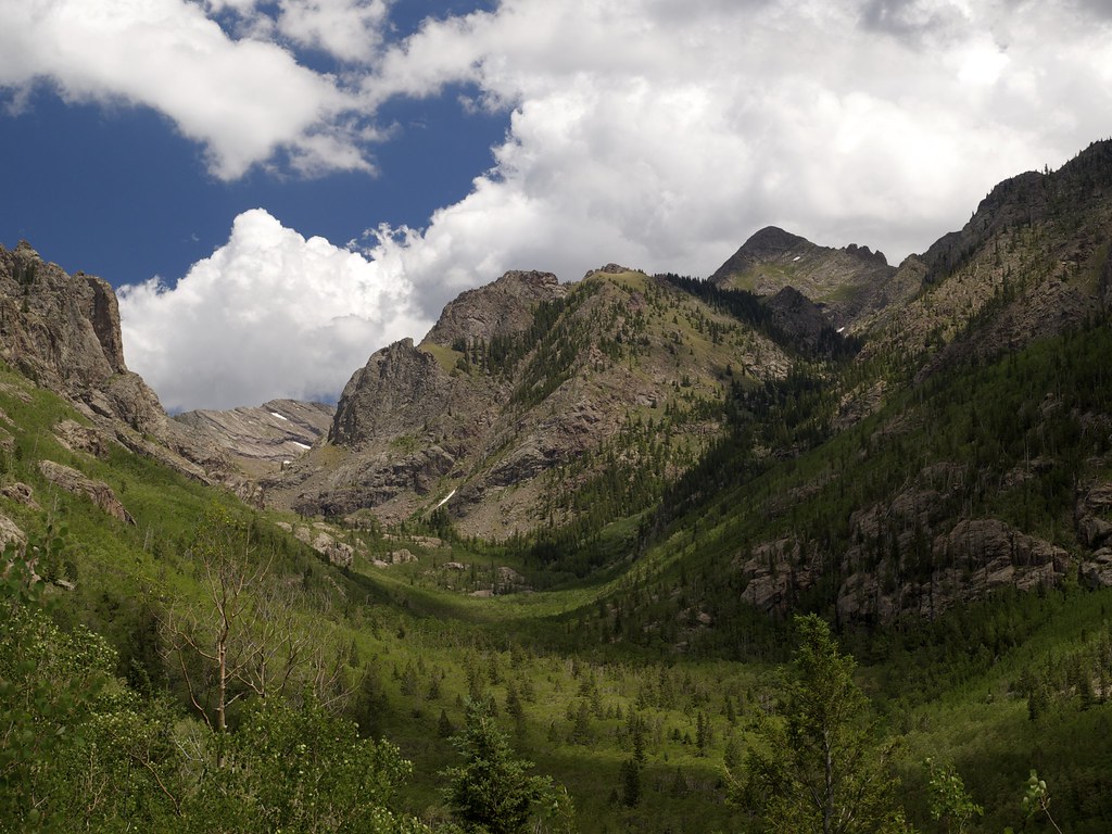
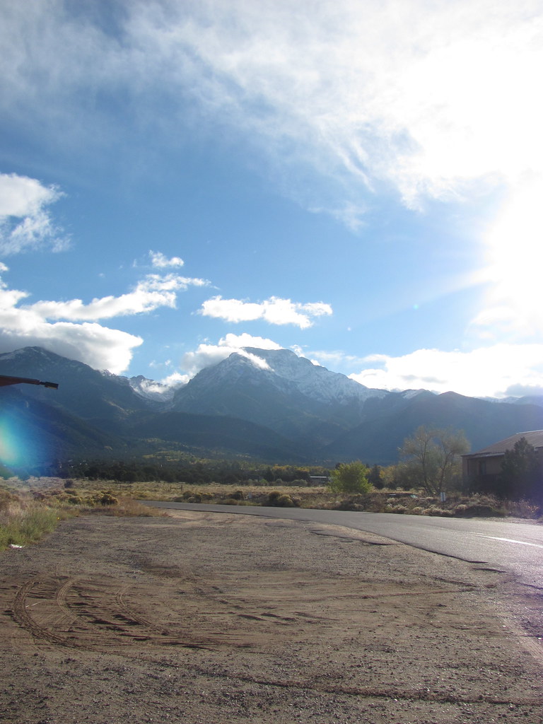
Toward Comanche Peak
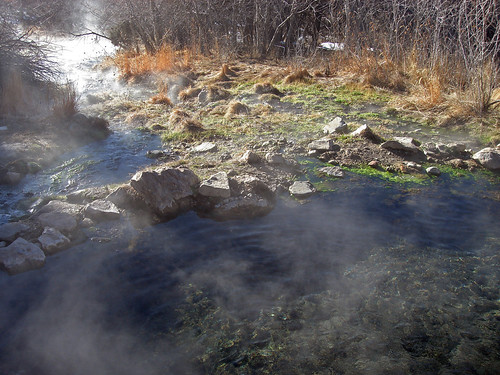
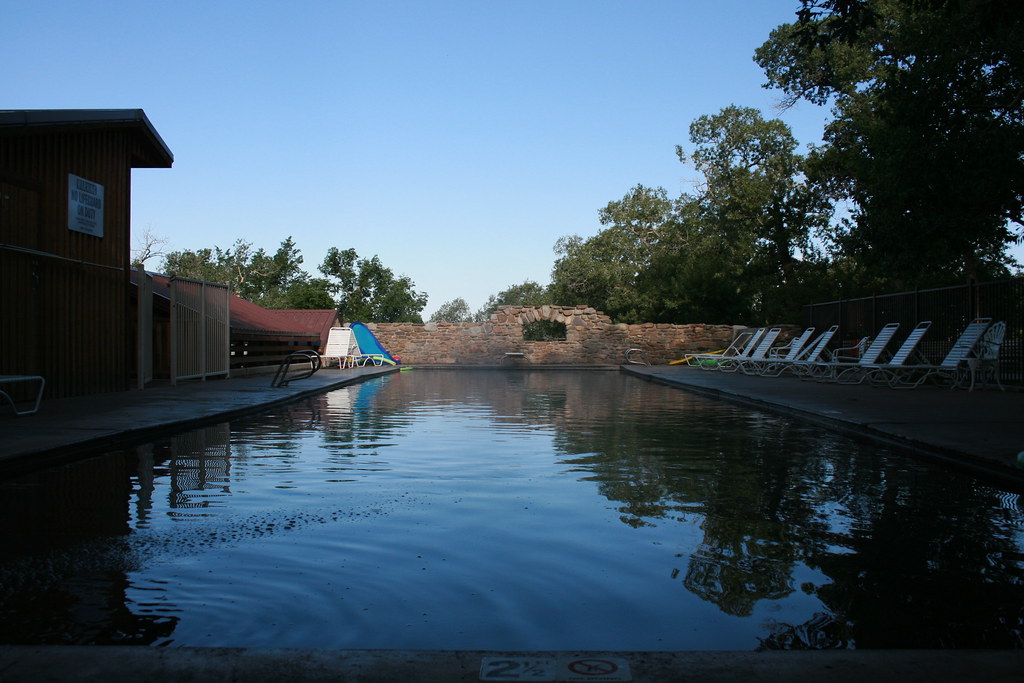
Waterfall Pool

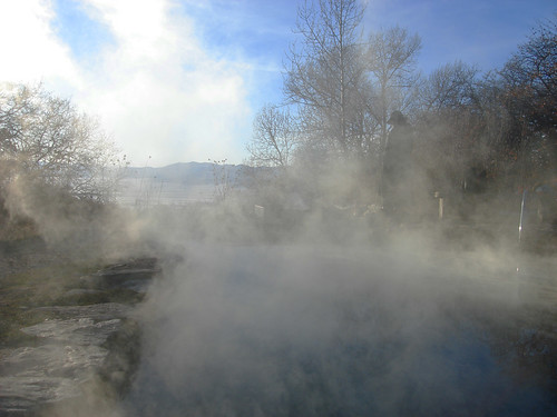
Orient Land Trust

Scrub Oak Fall Colors
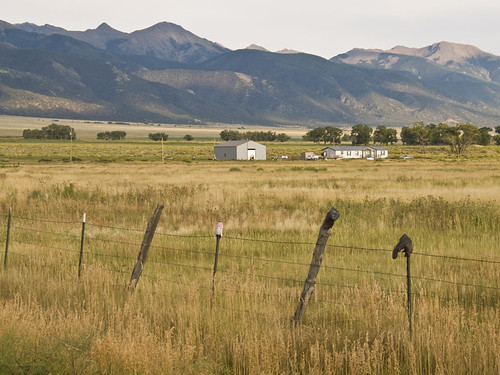
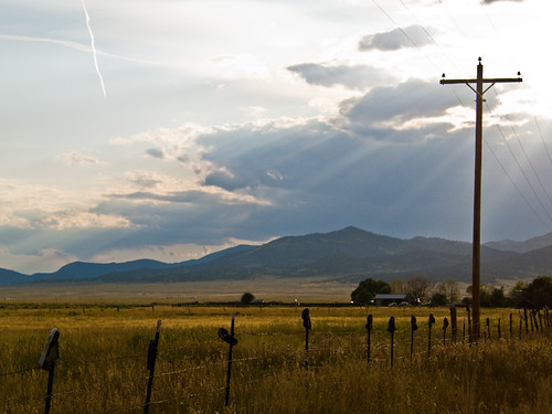
Everson Ranch
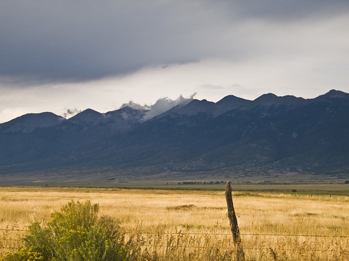
Sangre de Cristo
+
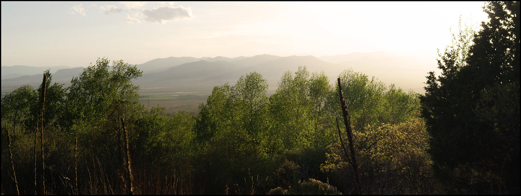
Sunrise at Valley View
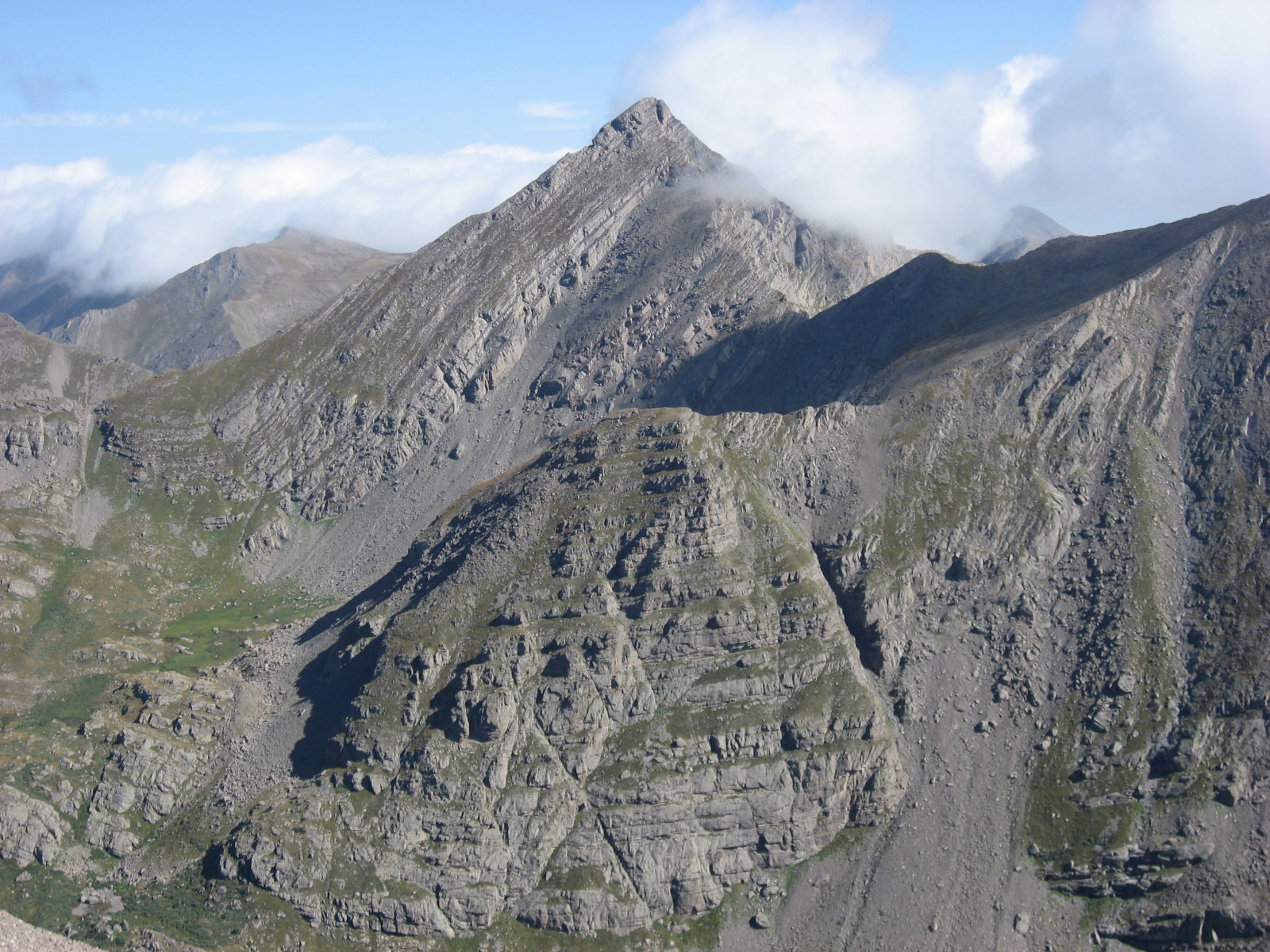
Sinister Minister
Campsite View

Clouds from Our Campsite
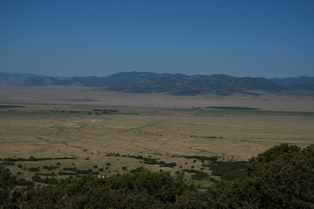
Saguache Valley, Colorado
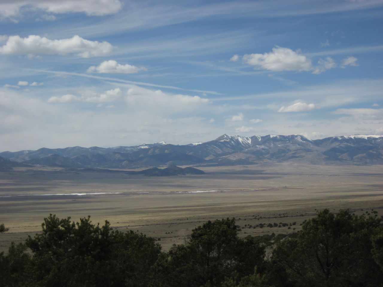
Valley view at valley view
Mount Adams, Colorado

Mount Adams

Challenger Point

16 July 11 Clouds and Smoke
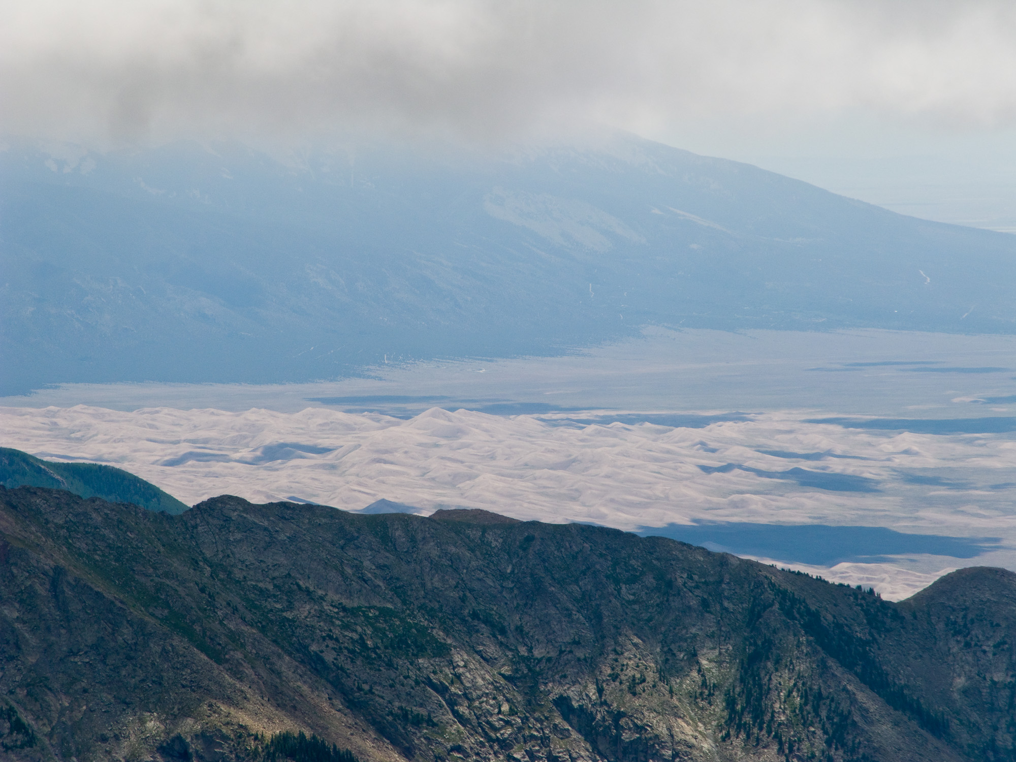
Distant view of the Great Sand Dunes
View of Crestone Peak, First Snow of 2010

View from Kit Carson
Topographic Map of Gibson Peak, Colorado, USA
Find elevation by address:

Places near Gibson Peak, Colorado, USA:
San Isabel Lake
Eureka Mountain
Crestone
200 Cottonwood St
Spread Eagle Peak
22 Alpine
610 Panorama Way
Comanche Peak
1019 Moonlight Way
999 E Badger Rd
1003 E Badger Rd
1005 E Badger Rd
Fluted Peak
Horn Peak
123 Valley View Rd
824 Little Horn Rd
1080 Dry Creek Dr
705 Co Rd 132
1015 Dry Creek Dr
22 Nighthawk Way
Recent Searches:
- Elevation of Corso Fratelli Cairoli, 35, Macerata MC, Italy
- Elevation of Tallevast Rd, Sarasota, FL, USA
- Elevation of 4th St E, Sonoma, CA, USA
- Elevation of Black Hollow Rd, Pennsdale, PA, USA
- Elevation of Oakland Ave, Williamsport, PA, USA
- Elevation of Pedrógão Grande, Portugal
- Elevation of Klee Dr, Martinsburg, WV, USA
- Elevation of Via Roma, Pieranica CR, Italy
- Elevation of Tavkvetili Mountain, Georgia
- Elevation of Hartfords Bluff Cir, Mt Pleasant, SC, USA