Elevation of Gibson, CA, USA
Location: United States > California > Shasta County >
Longitude: -122.40890
Latitude: 41.0118164
Elevation: 443m / 1453feet
Barometric Pressure: 96KPa
Elevation Map:
Satellite Map:
Related Photos:
Lakehead-Lakeshore, California, USA
Mountain and Trees

Dog Creek Bridge

last light....
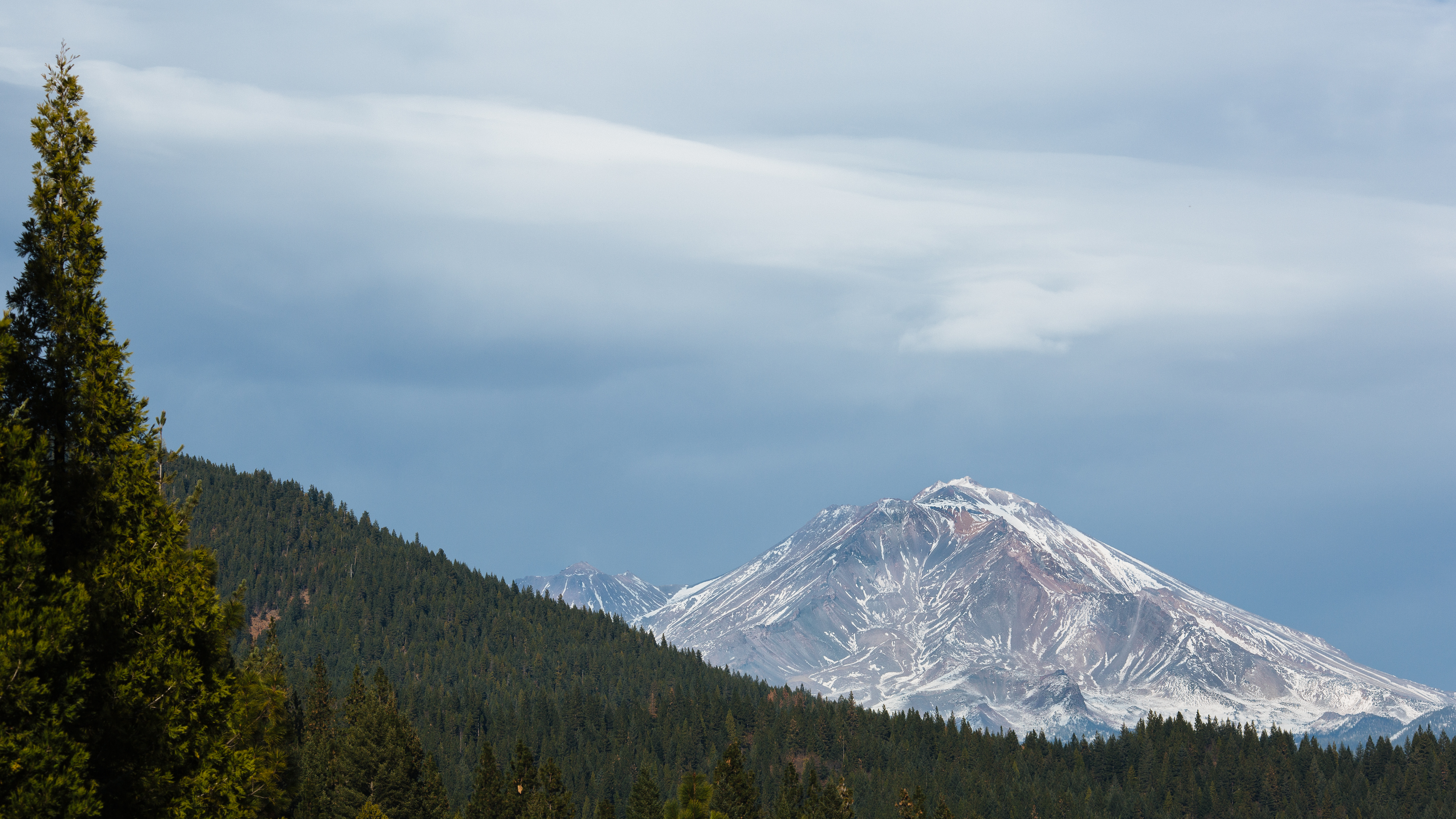
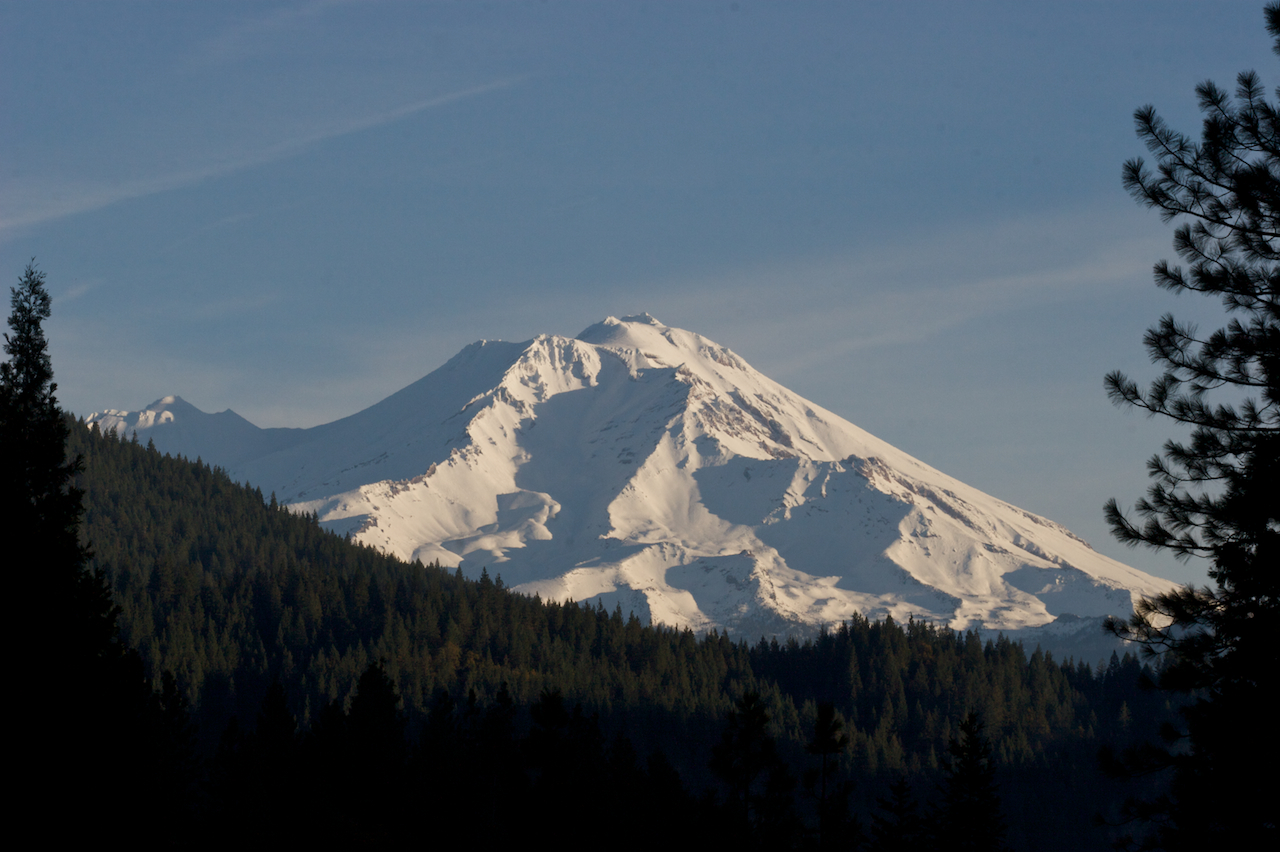
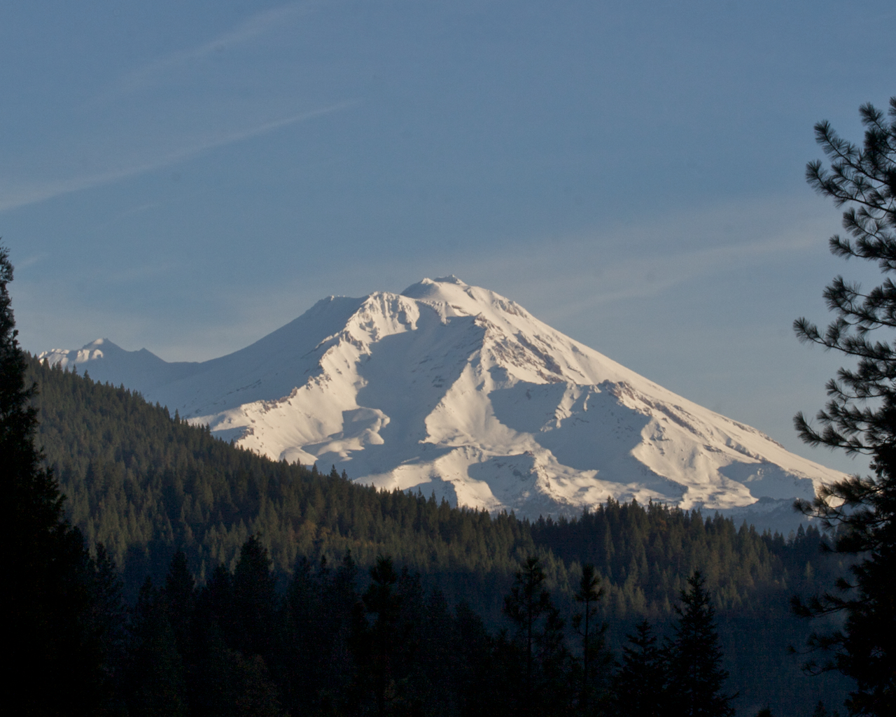
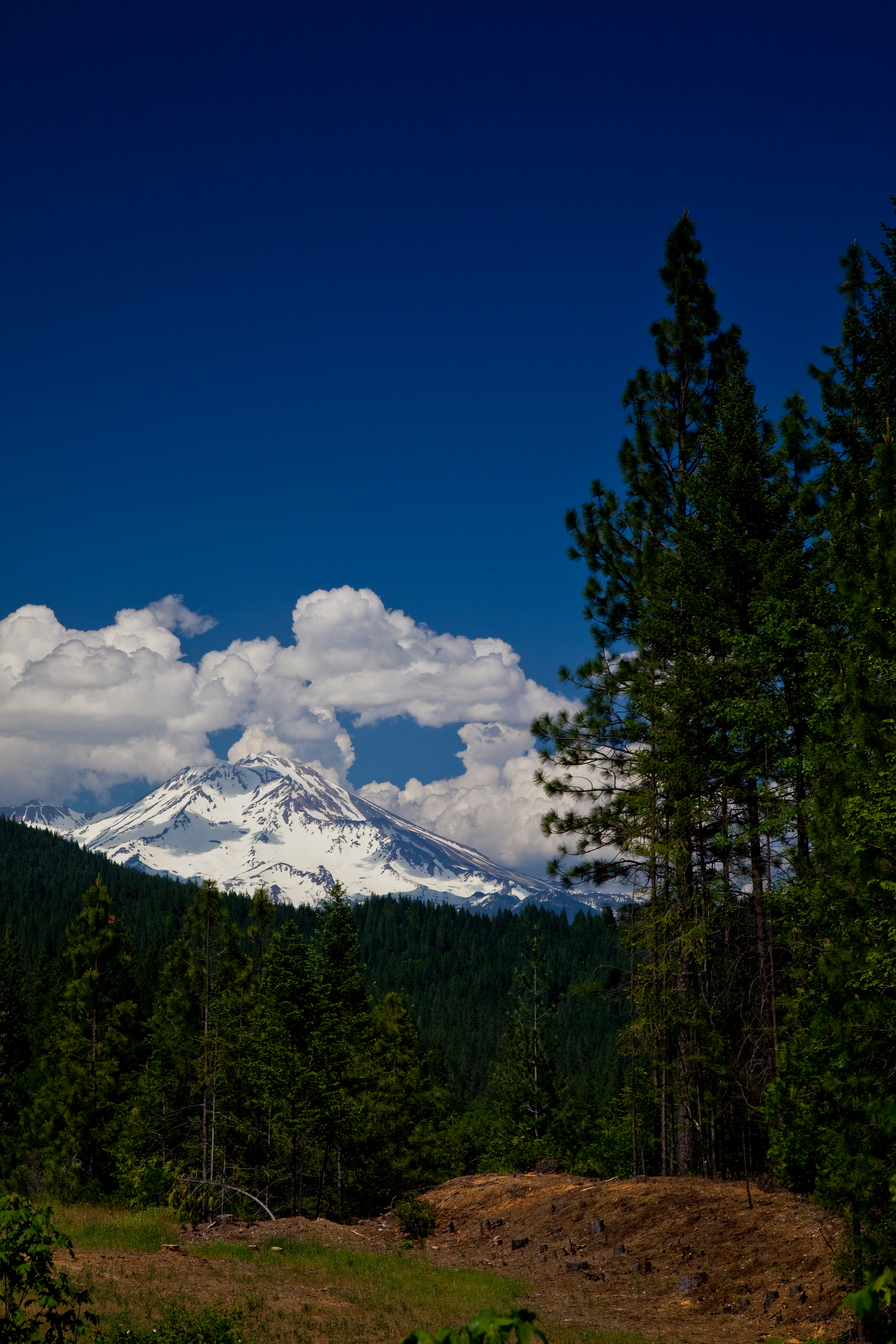
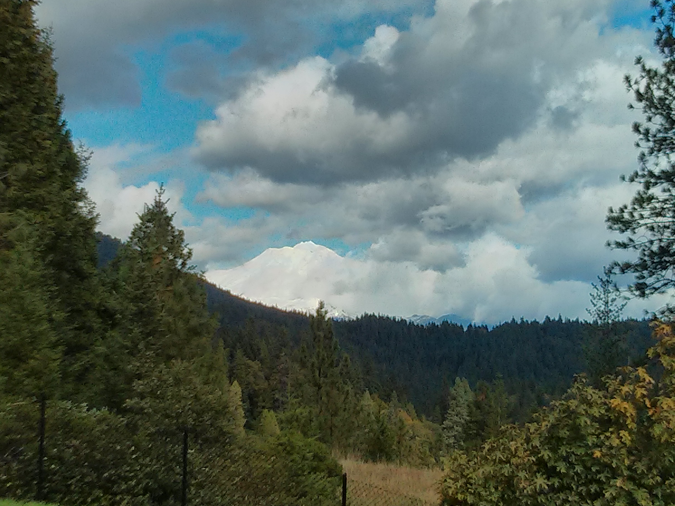
Mt. Shasta
a2007-06-03
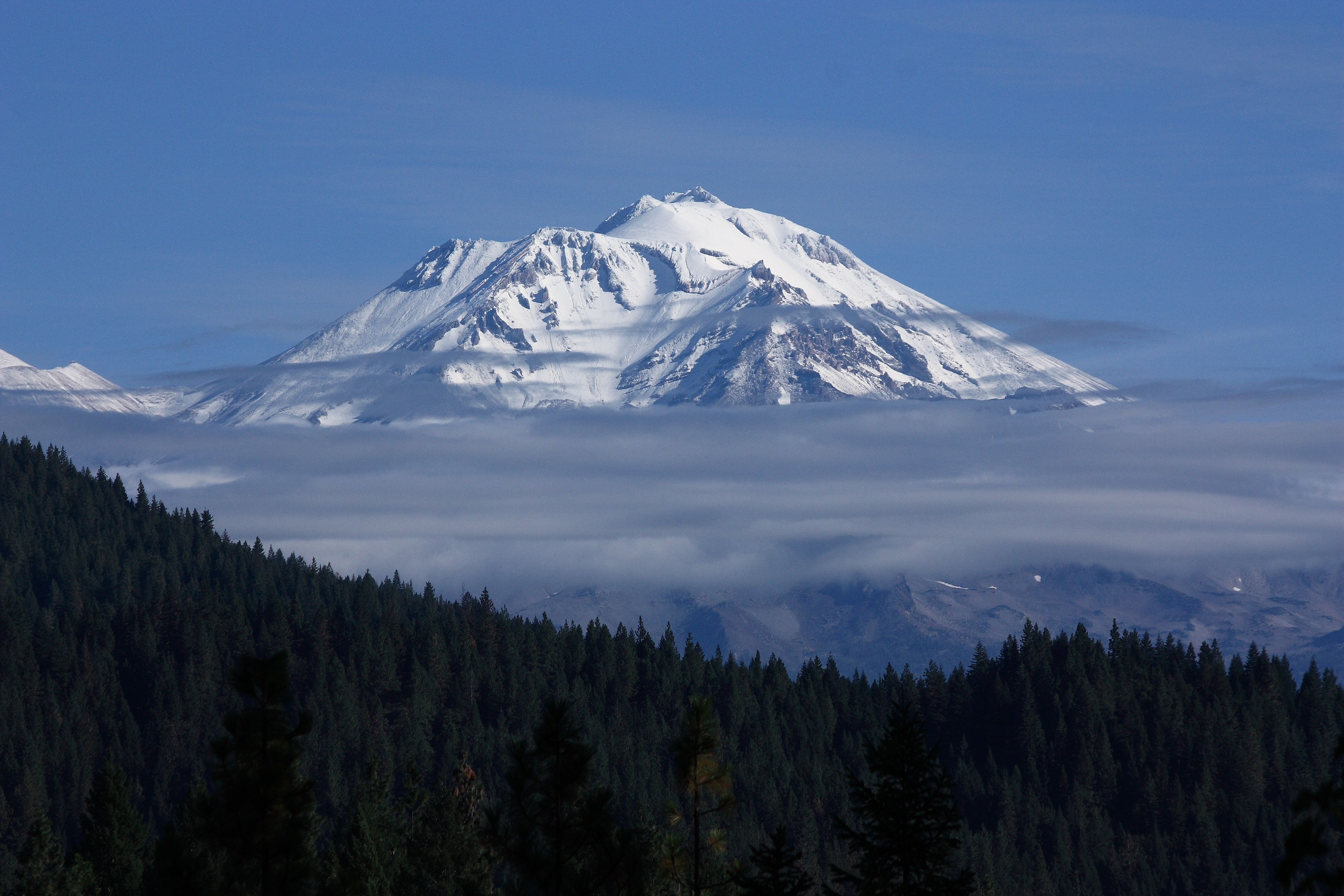
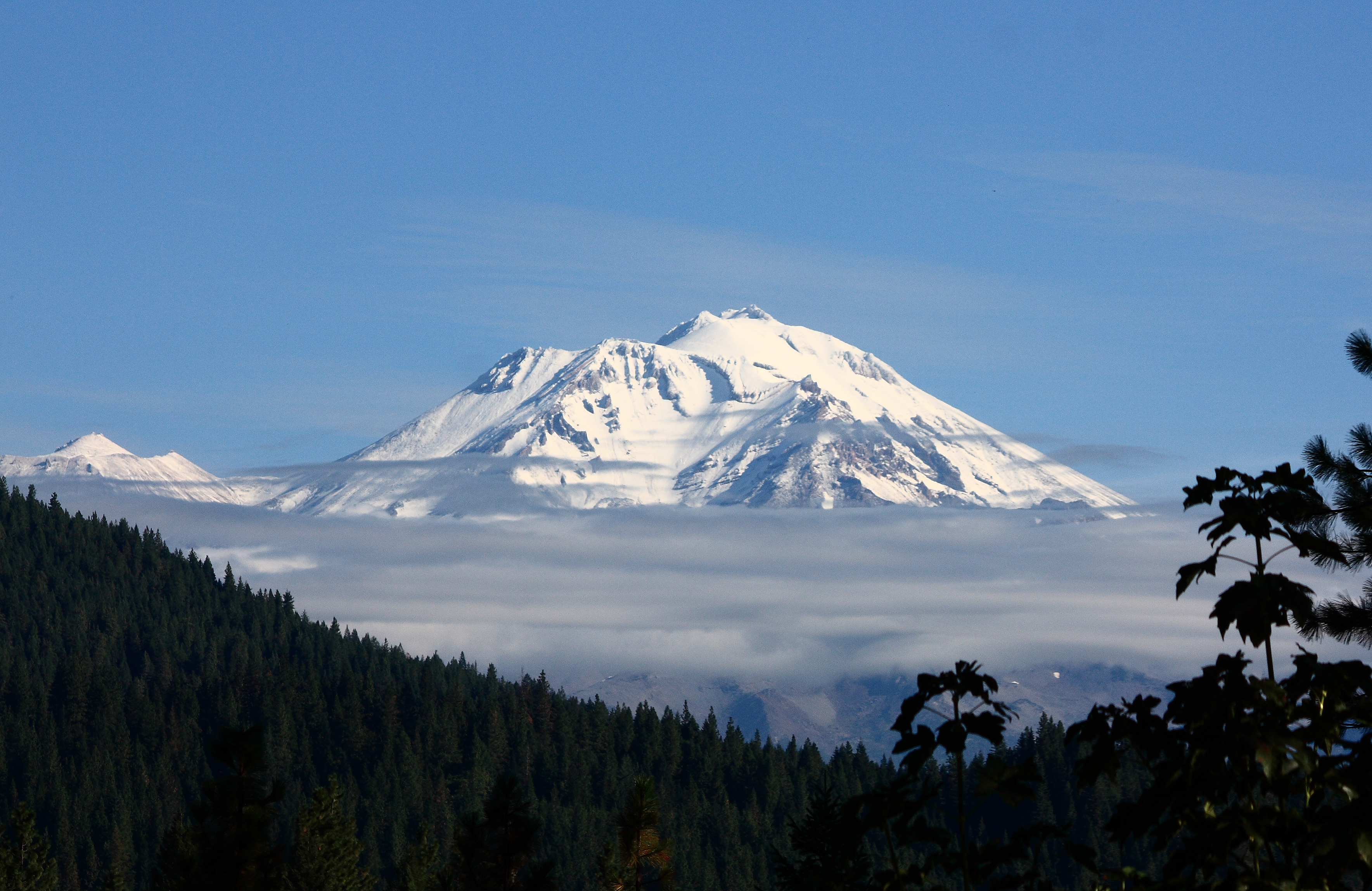
Mt Shasta in the Morning
Mt. Shasta
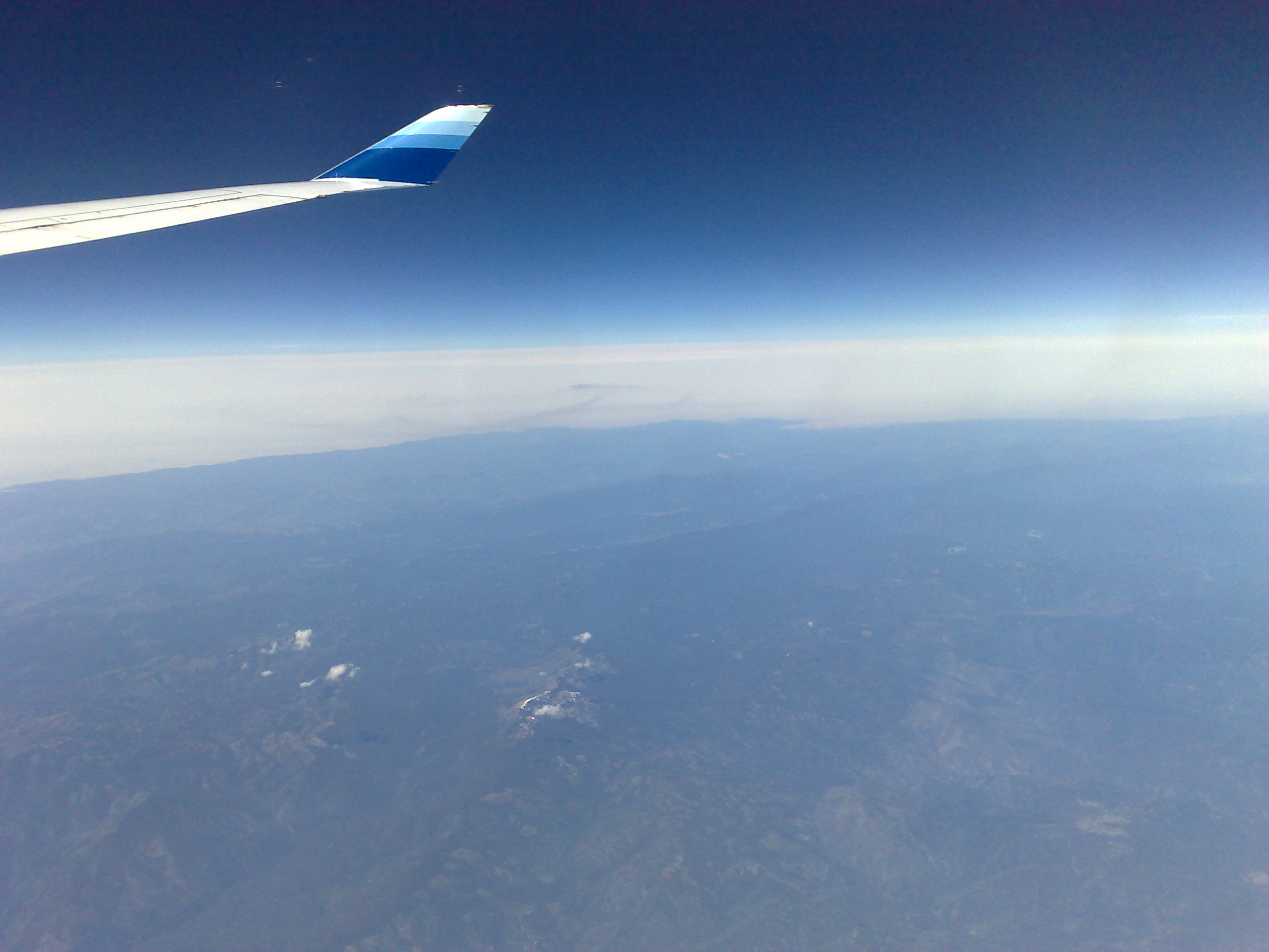
View from a 747
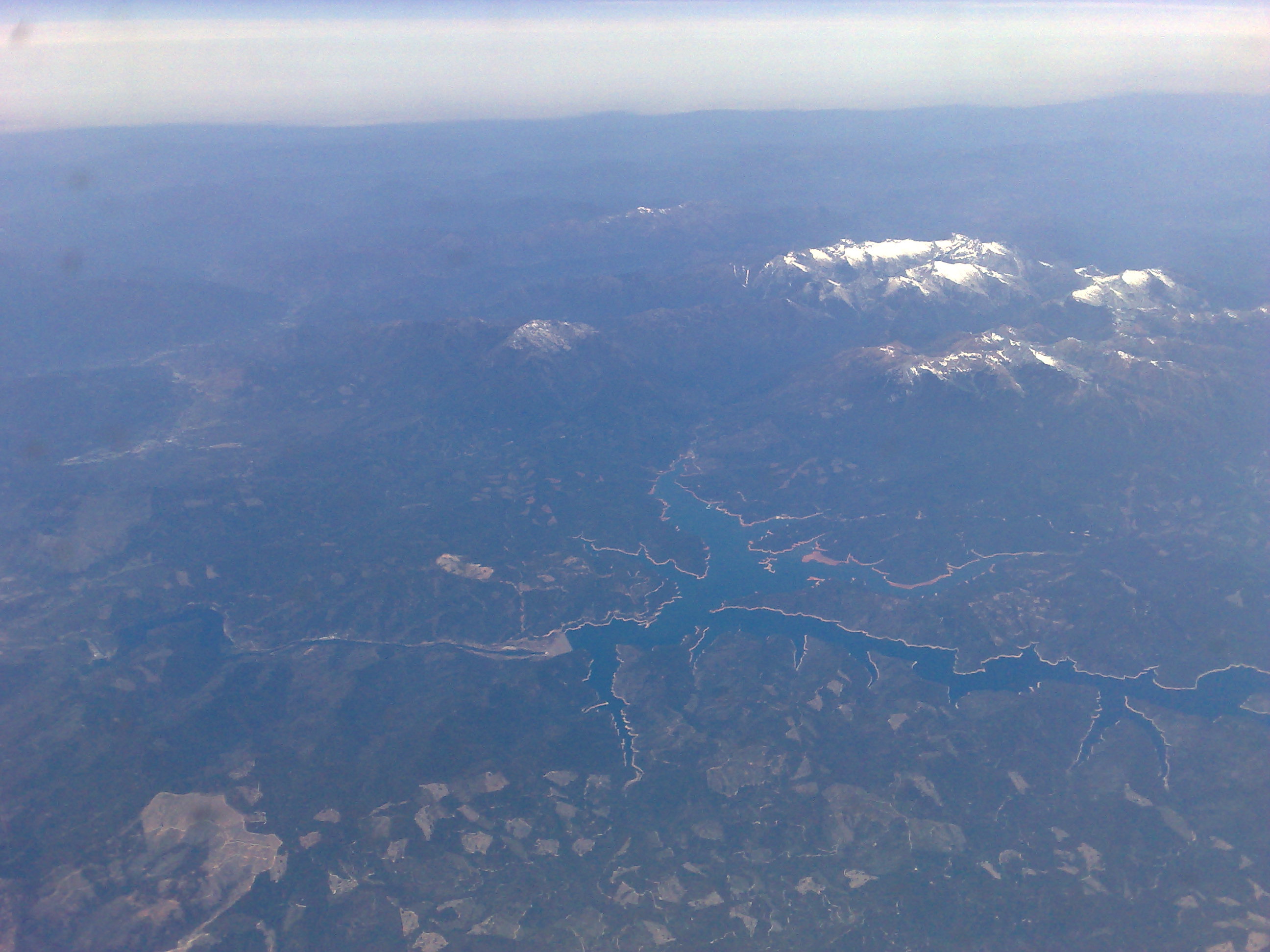
View from a 747
Mt Shasta in the Morning
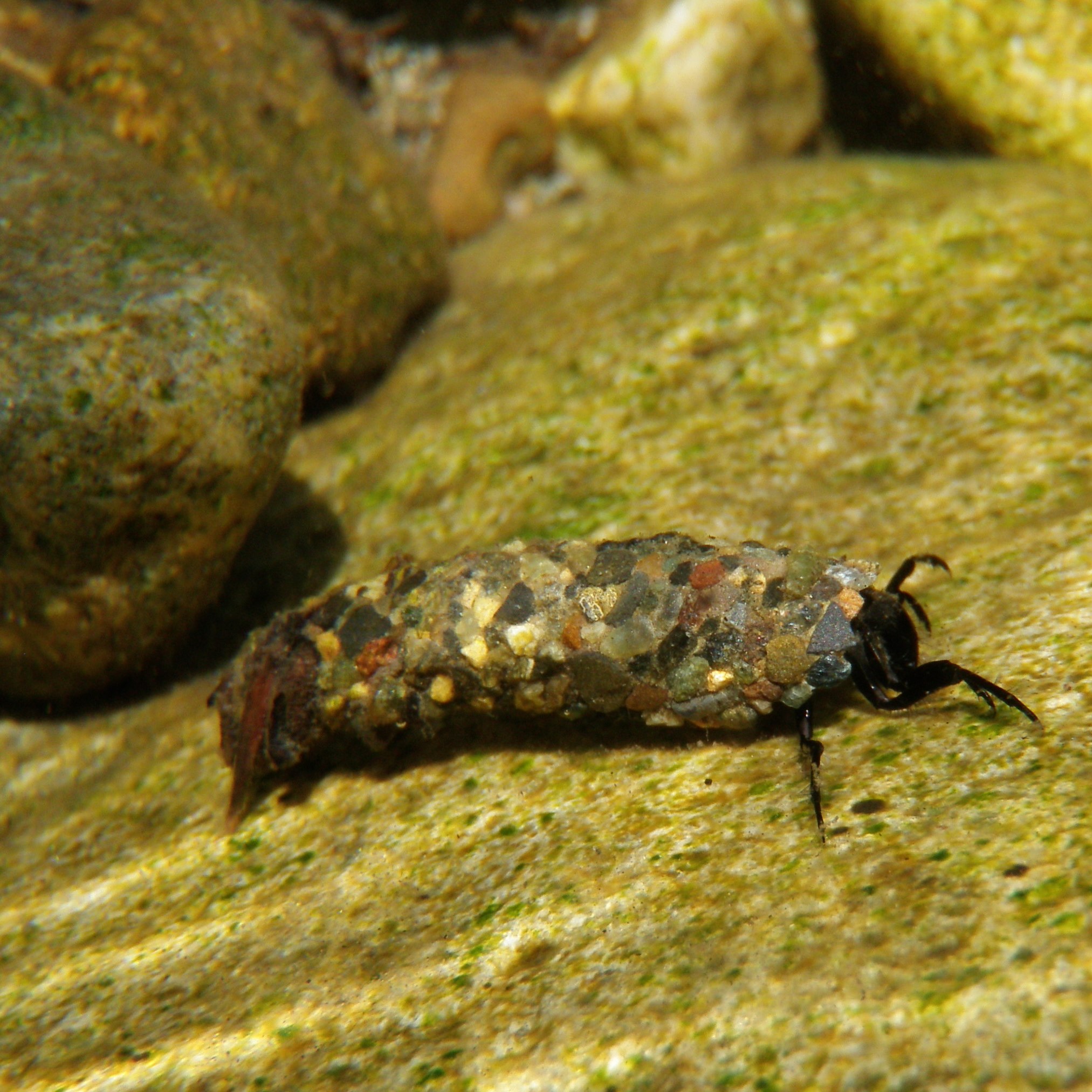
DICOSMOECUS (3 OF 4 )
DICOSMOECUS (2 OF 4)
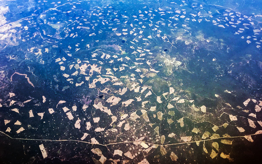
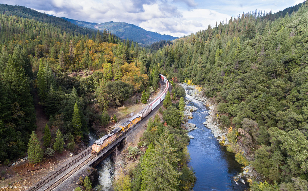
Aerial View of Shasta, California
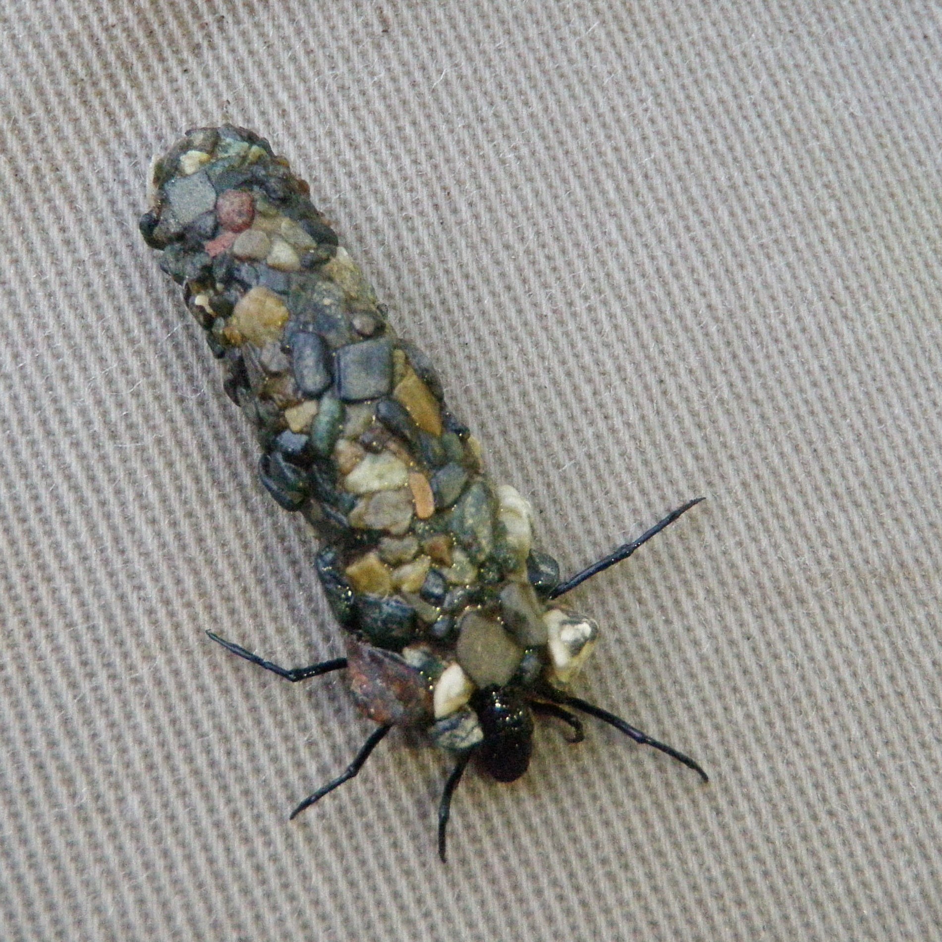
TROUTS VIEW OF THE BUSINESS END OF AN OCTOBER CADDIS

View from a 747
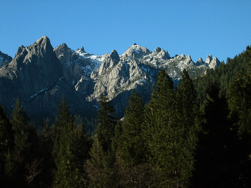
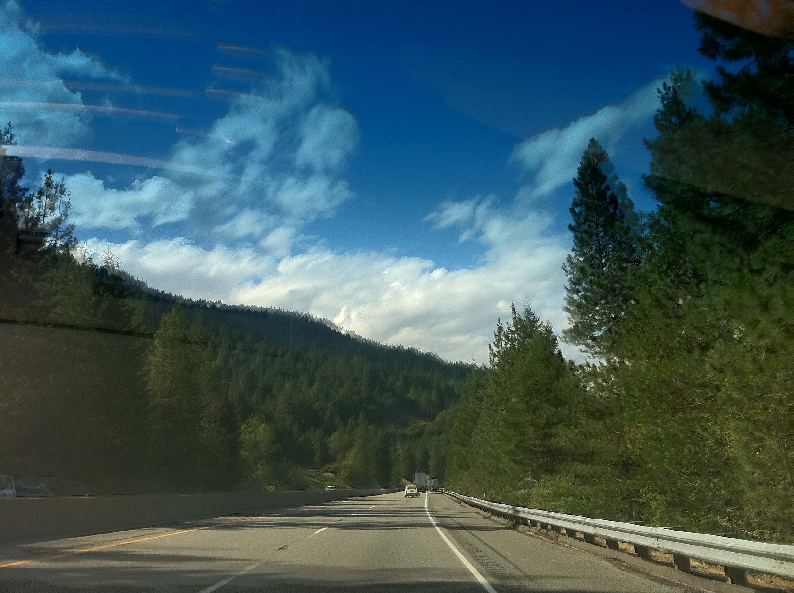
Crags from I-5
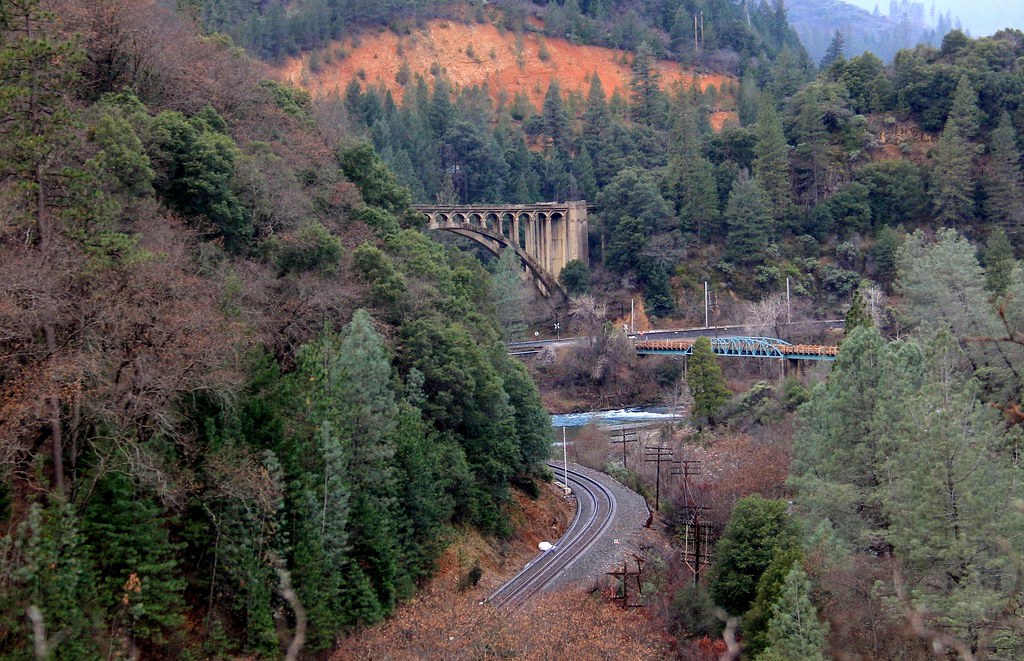
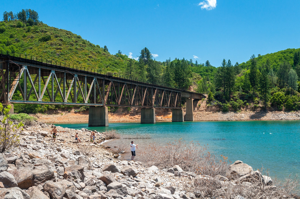
Old Highway 99 bridge, Sacramento River

Mt. Shasta
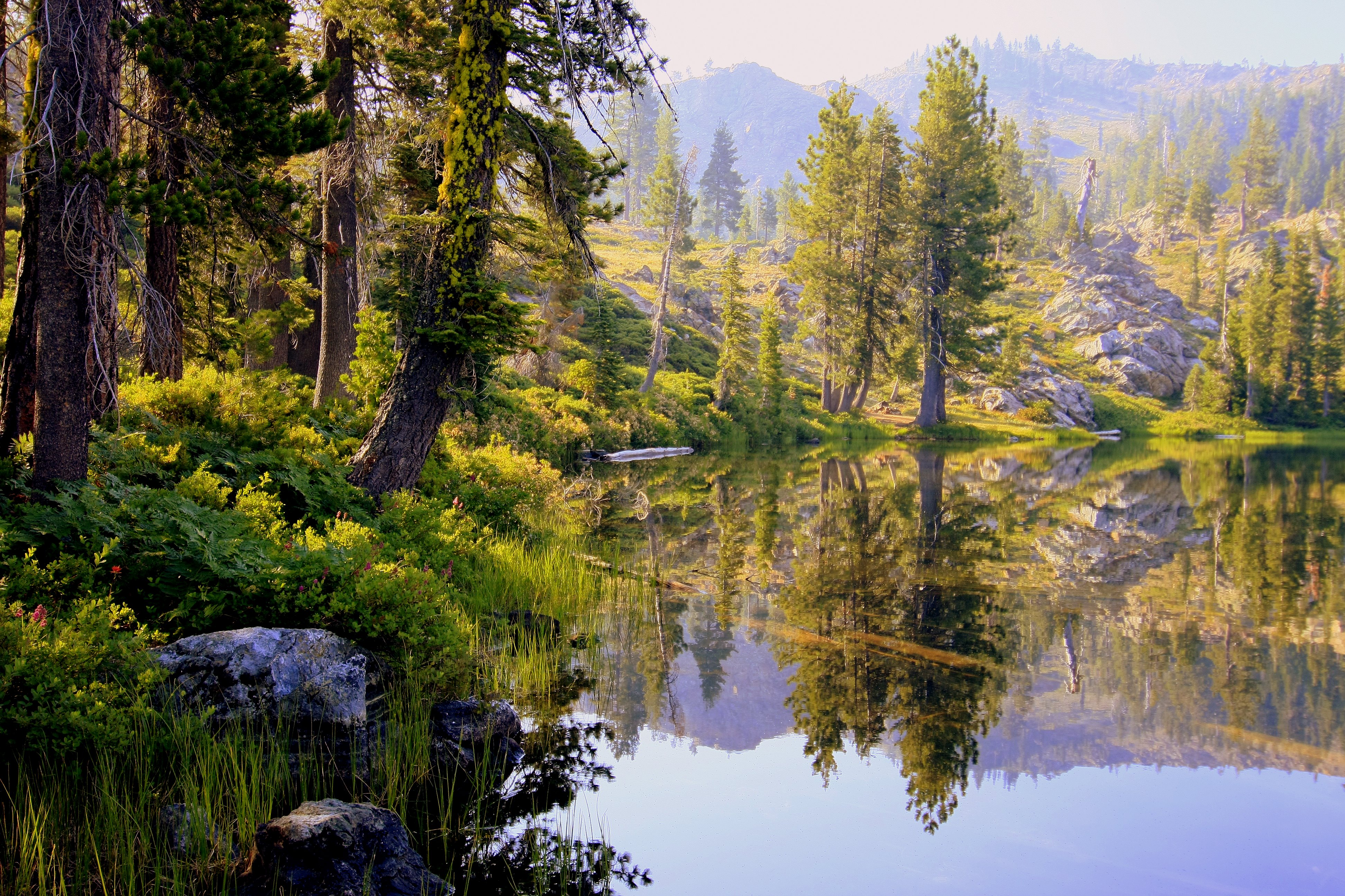
Tamarack Lake
The Path of Least Resistance
05-27-2009 (3009)
~ Sweetbriar ~

Hazel Creek
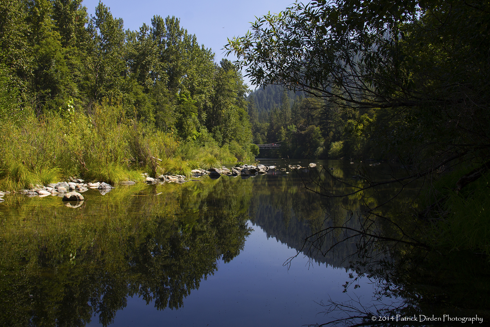
Serenity on the Sacramento
Heading North

Fender Ferry Bridge
2011-07-14-23-50-43_1000002347
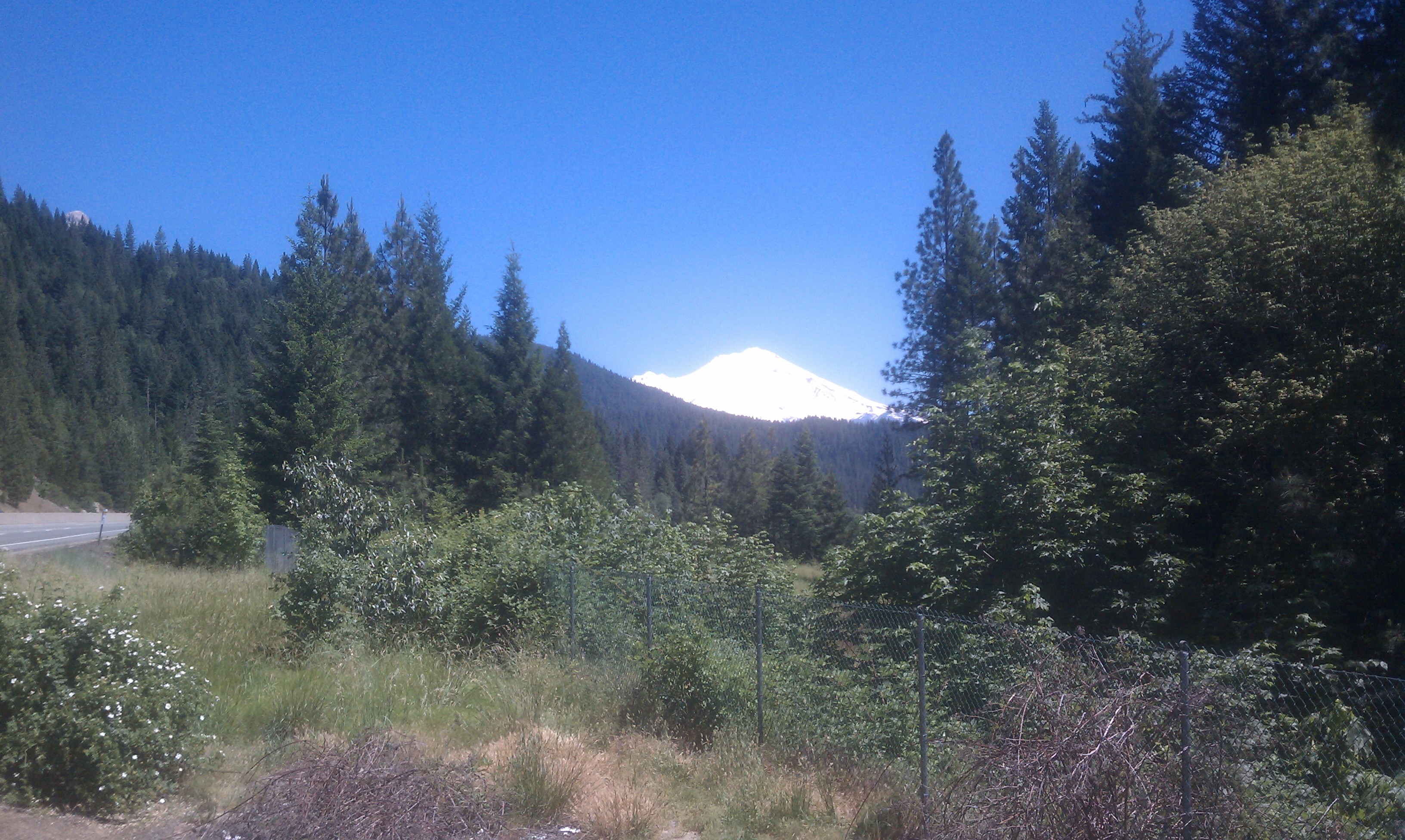
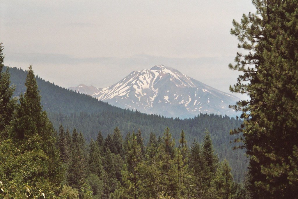
Mt Shasta in the distance

Doney Creek Bridges
Shasta Lake
Gregory Creek area
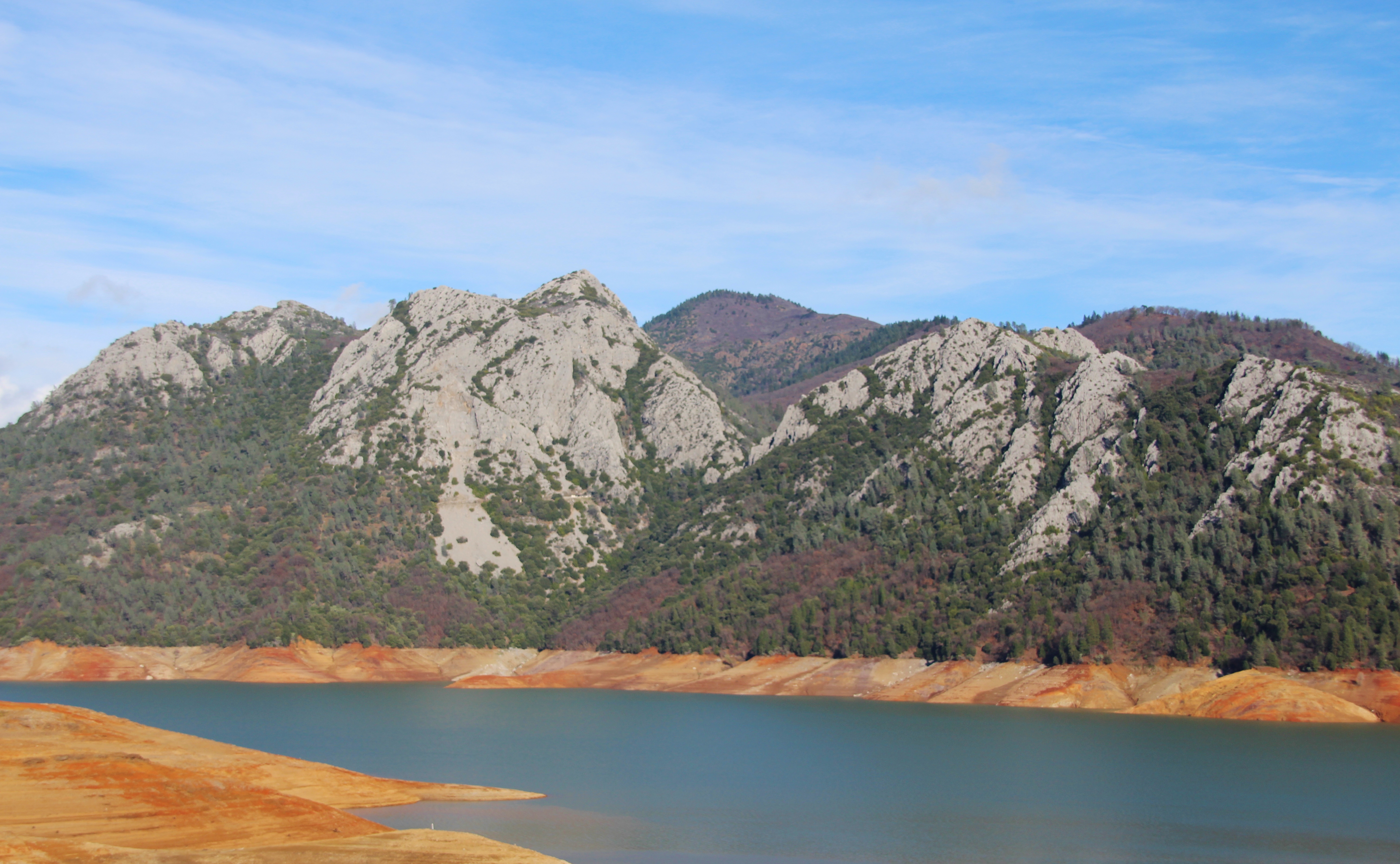
Lake Shasta

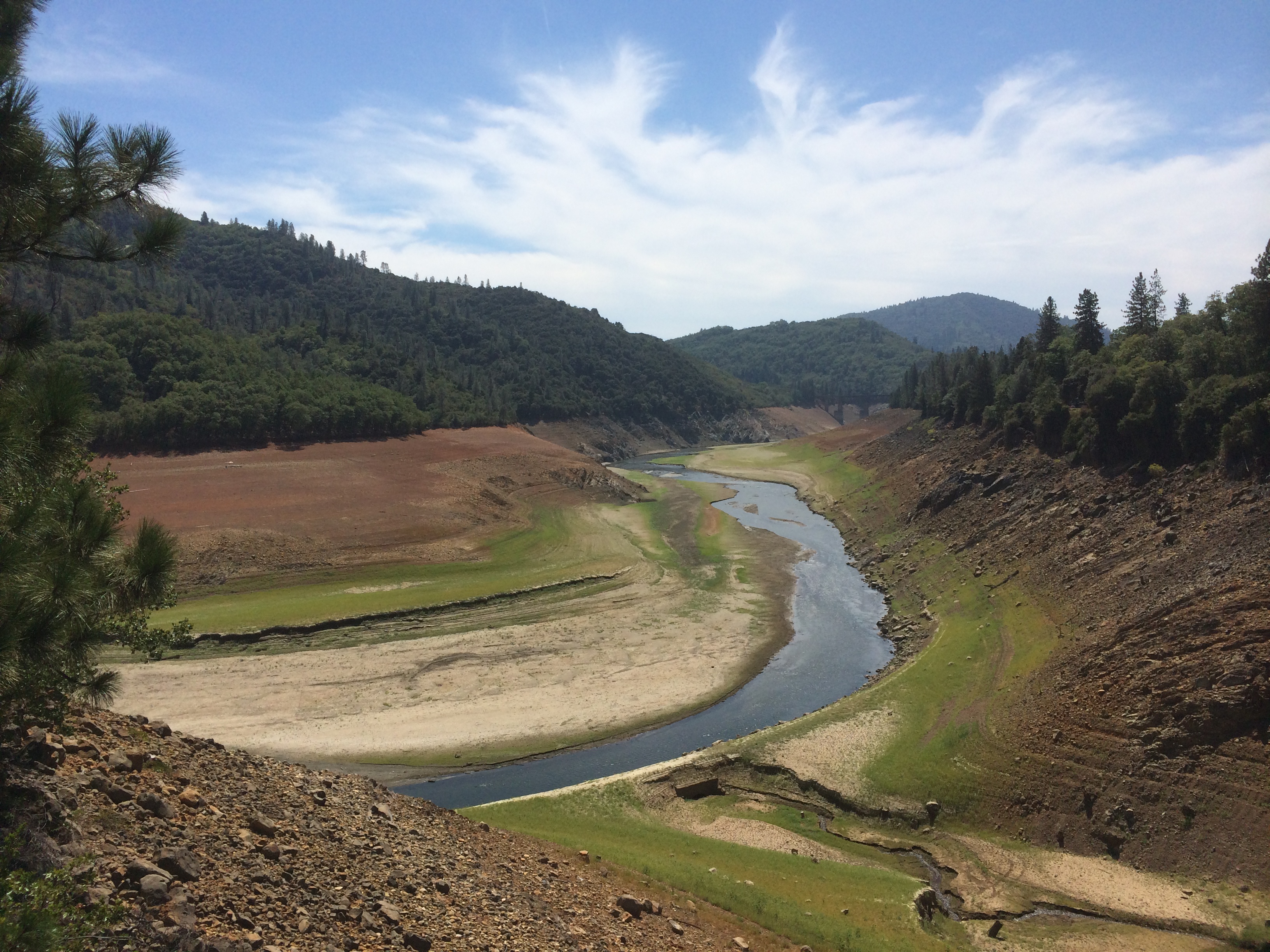
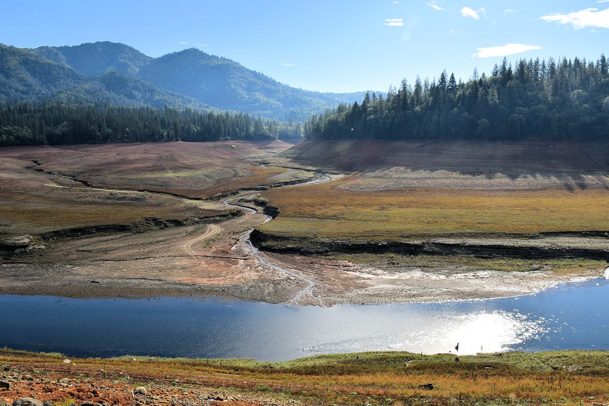
Dry Shasta Lake
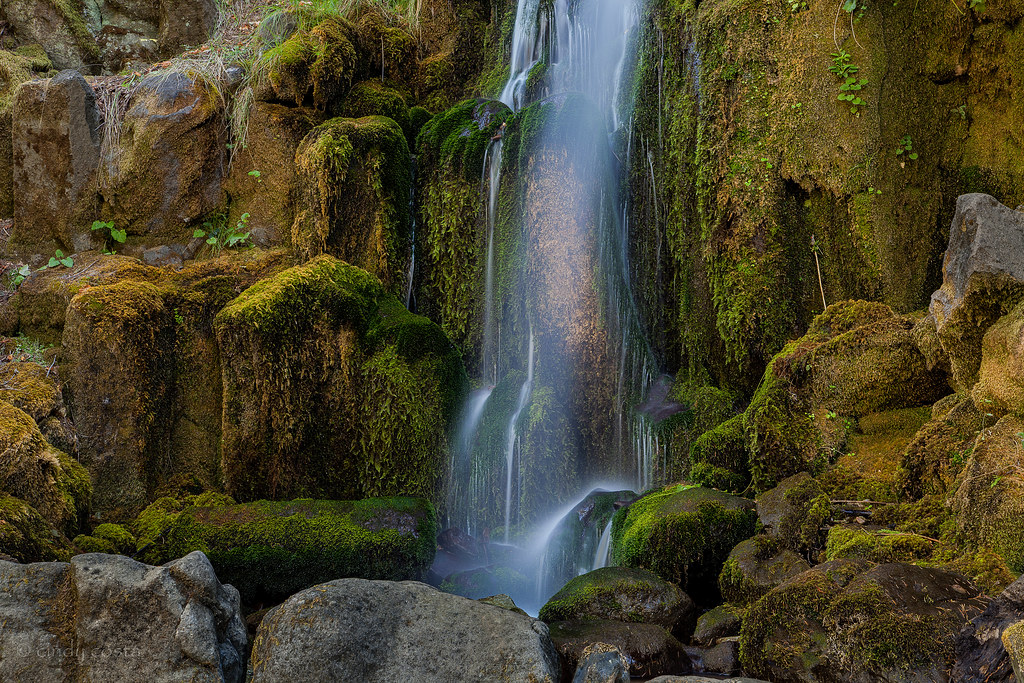
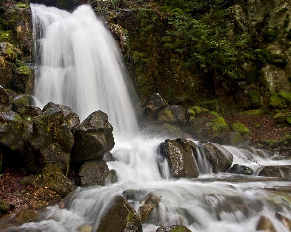
Waterfall located in Sweetbriar

Charlie Creek Bridge
Topographic Map of Gibson, CA, USA
Find elevation by address:

Places near Gibson, CA, USA:
Pollard Flat
17660 Rivera Dr
Fisher
Slate Creek Rd, Lakehead, CA, USA
Lamoine
Delta
Dog Creek Rd, Lakehead, CA, USA
16833 Dog Creek Rd
Lakehead-lakeshore
Dog Creek
15936 Dog Creek Rd
Lakehead
20679 Antlers Rd
20856 Antlers Rd
18023 Pine St
Grey Rocks North
20709 Doney St
20265 Lakeview Dr
20241 Lakeview Dr
20240 Lakeview Dr
Recent Searches:
- Elevation of Pu Ngaol Community Meeting Hall, HWHM+3X7, Krong Saen Monourom, Cambodia
- Elevation of Royal Ontario Museum, Queens Park, Toronto, ON M5S 2C6, Canada
- Elevation of Groblershoop, South Africa
- Elevation of Power Generation Enterprises | Industrial Diesel Generators, Oak Ave, Canyon Country, CA, USA
- Elevation of Chesaw Rd, Oroville, WA, USA
- Elevation of N, Mt Pleasant, UT, USA
- Elevation of 6 Rue Jules Ferry, Beausoleil, France
- Elevation of Sattva Horizon, 4JC6+G9P, Vinayak Nagar, Kattigenahalli, Bengaluru, Karnataka, India
- Elevation of Great Brook Sports, Gold Star Hwy, Groton, CT, USA
- Elevation of 10 Mountain Laurels Dr, Nashua, NH, USA