Elevation of Gibara, Cuba
Location: Cuba > Holguin > Gibara >
Longitude: -76.133444
Latitude: 21.1127551
Elevation: 40m / 131feet
Barometric Pressure: 101KPa
Elevation Map:
Satellite Map:
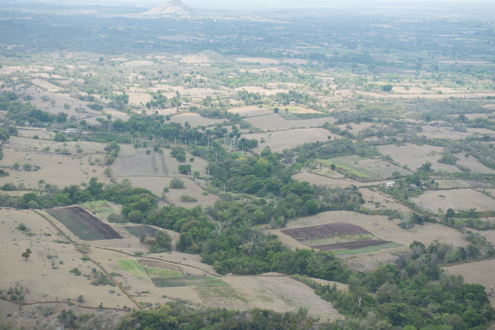
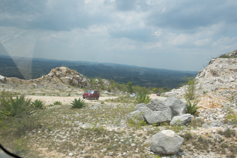
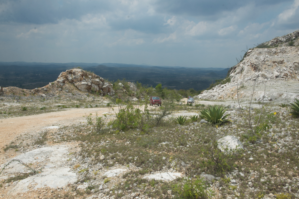
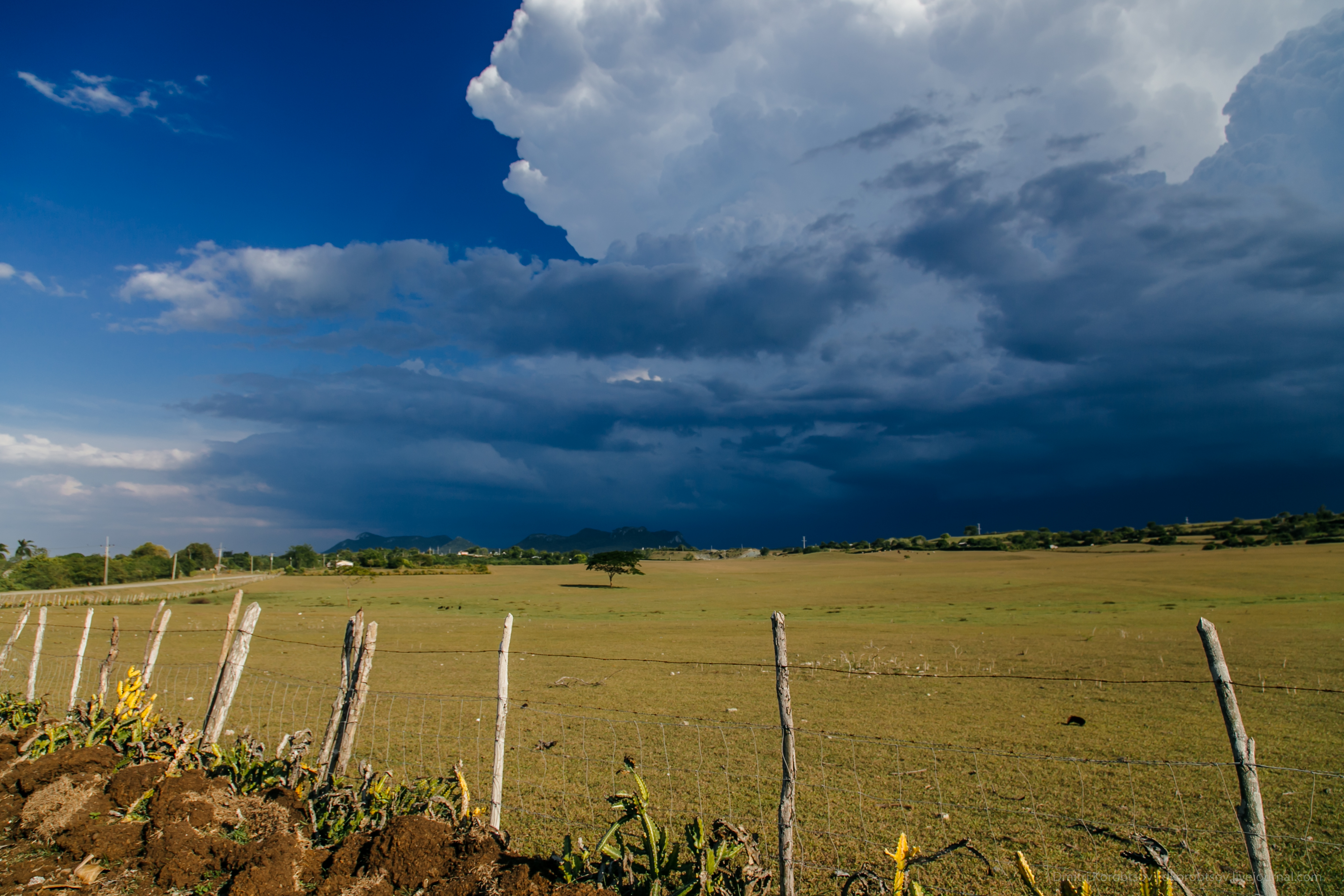
Related Photos:
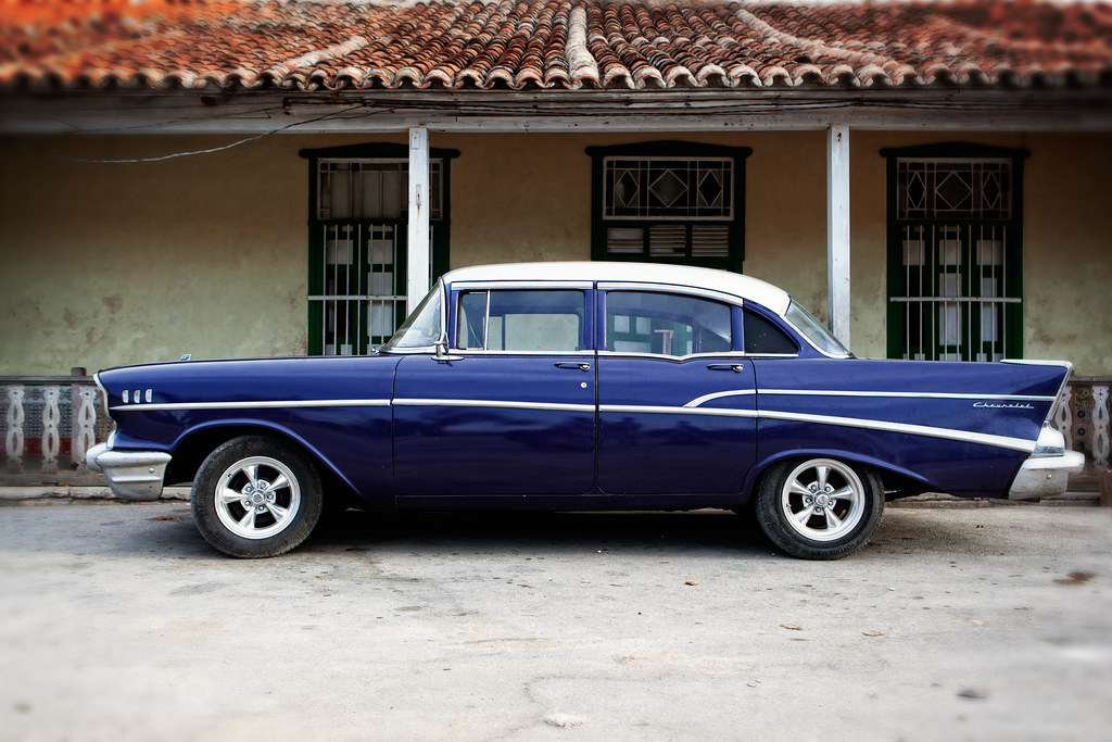
'57 Chevy Bel Air
183/366
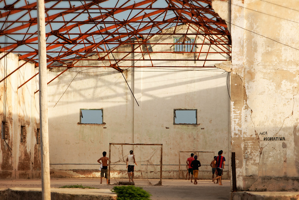
Area Recreativa

The Fisherman
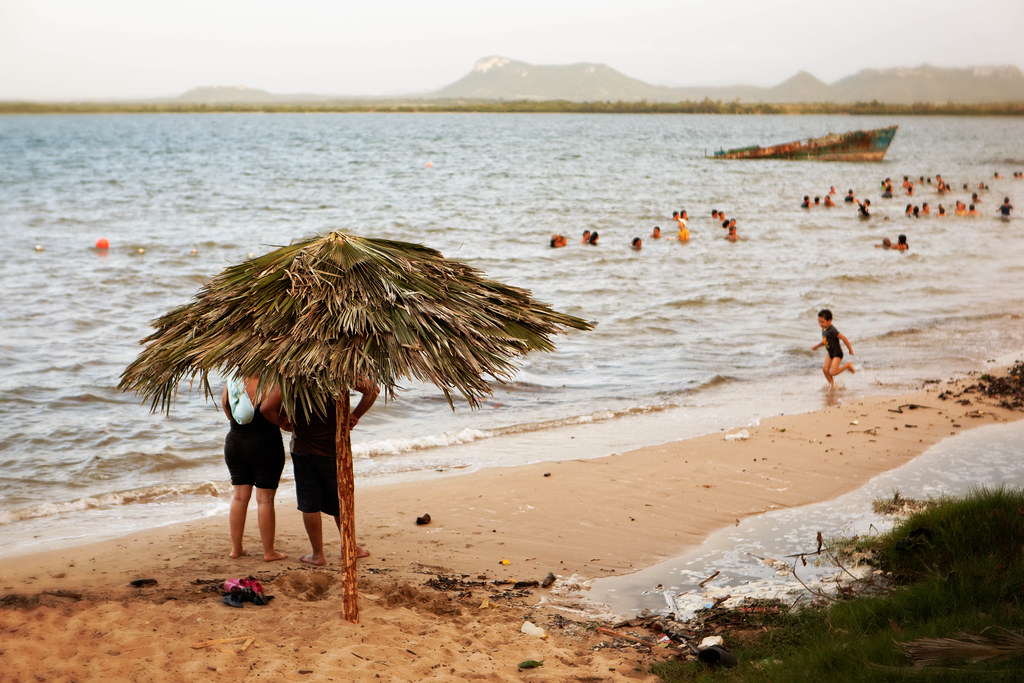
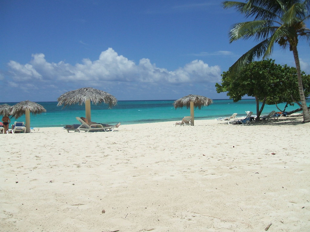
Gibara Beach

Fernando's Defense

The Fisherman (Close-up)
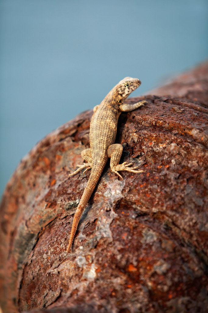
The King's Lizard
Rubber tires
Cuba Holguin Playa Esmeralda..
IHH_2822.jpg
IHH_2828.jpg
IHH_2805.jpg
IHH_2804.jpg
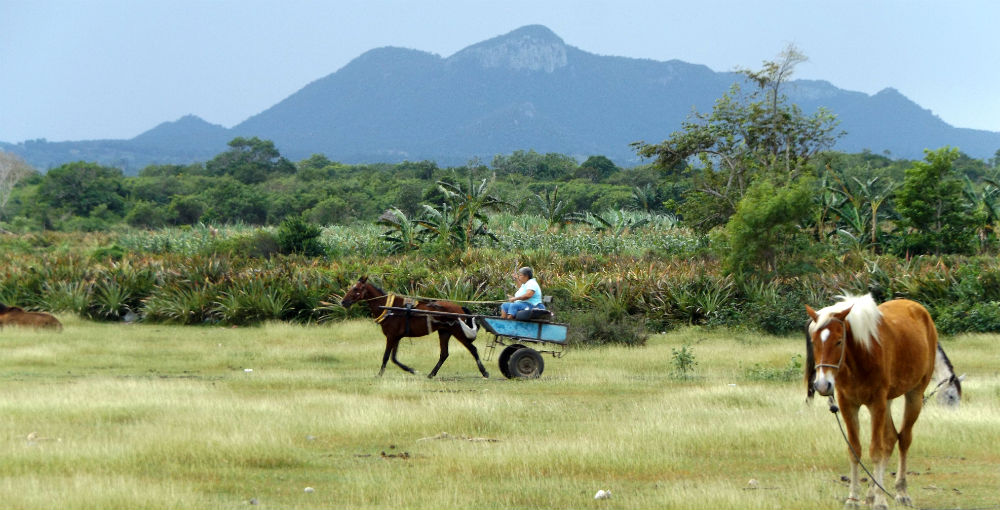
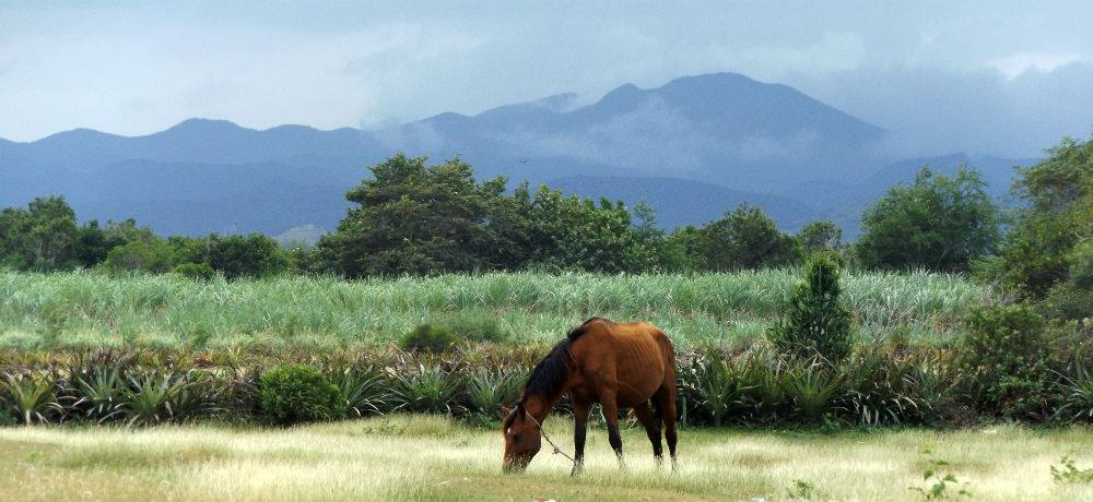
Rustic Landscape
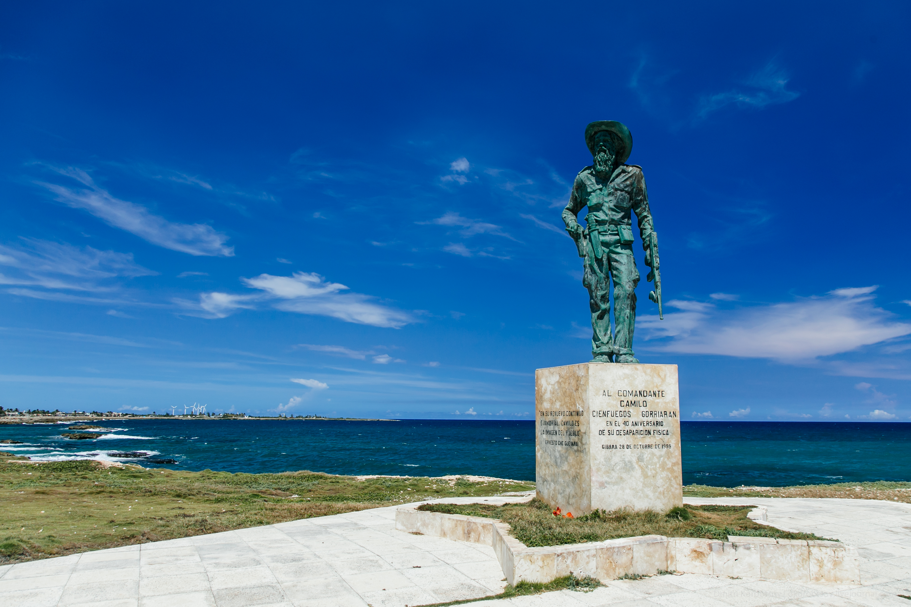
Statue of Camilo Cienfuegos
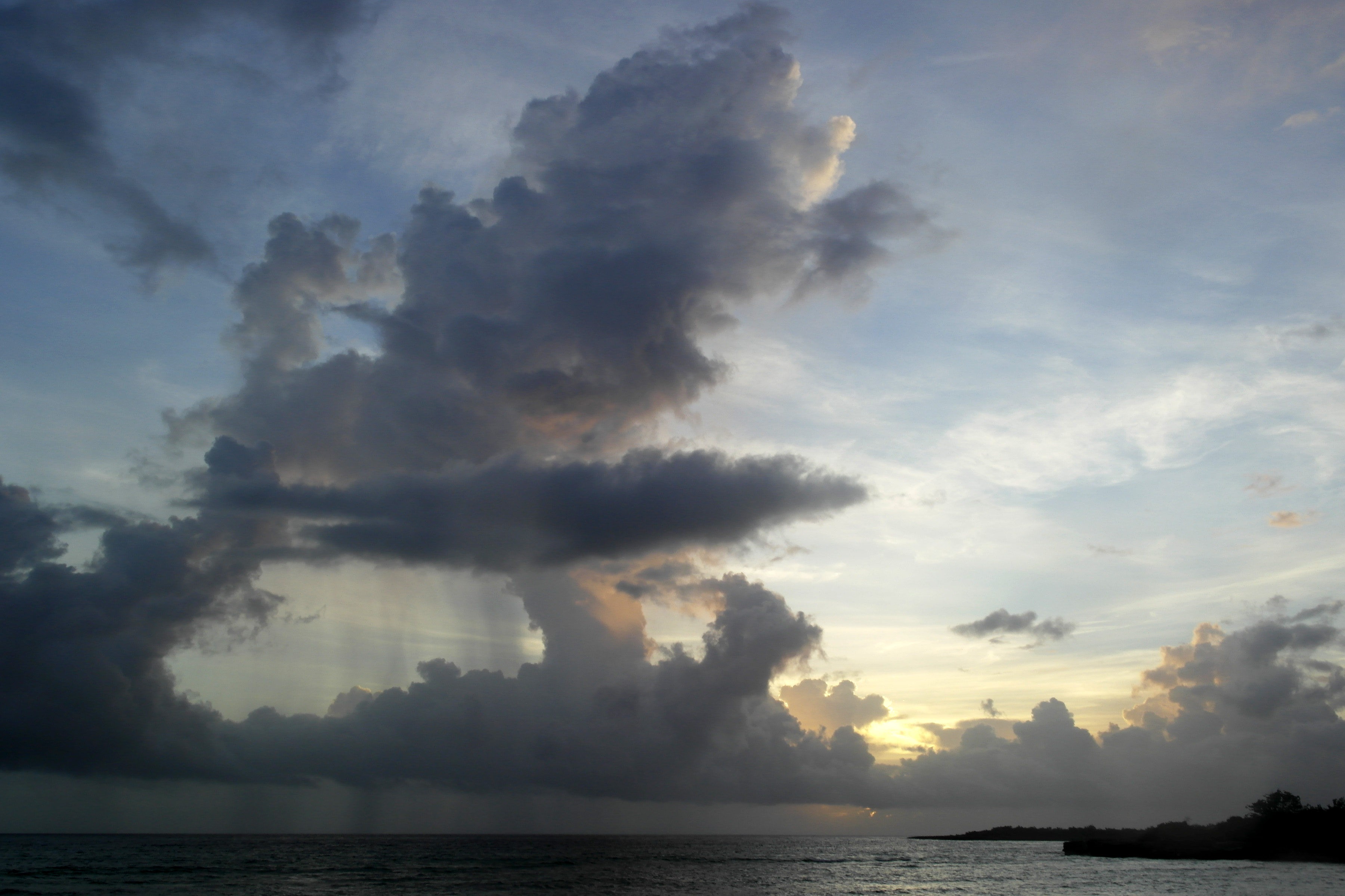
Cloudy day-Cuba
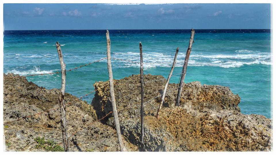
the Fence

IHH_2905.jpg

IHH_2904.jpg
Sky.
Topographic Map of Gibara, Cuba
Find elevation by address:

Places near Gibara, Cuba:
Recent Searches:
- Elevation of 7 Waterfall Way, Tomball, TX, USA
- Elevation of SW 57th Ave, Portland, OR, USA
- Elevation of Crocker Dr, Vacaville, CA, USA
- Elevation of Pu Ngaol Community Meeting Hall, HWHM+3X7, Krong Saen Monourom, Cambodia
- Elevation of Royal Ontario Museum, Queens Park, Toronto, ON M5S 2C6, Canada
- Elevation of Groblershoop, South Africa
- Elevation of Power Generation Enterprises | Industrial Diesel Generators, Oak Ave, Canyon Country, CA, USA
- Elevation of Chesaw Rd, Oroville, WA, USA
- Elevation of N, Mt Pleasant, UT, USA
- Elevation of 6 Rue Jules Ferry, Beausoleil, France