Elevation of Ghazni, Afghanistan
Location: Afghanistan > Ghazni >
Longitude: 68.4173972
Latitude: 33.5450587
Elevation: 2178m / 7146feet
Barometric Pressure: 78KPa
Elevation Map:
Satellite Map:
Related Photos:
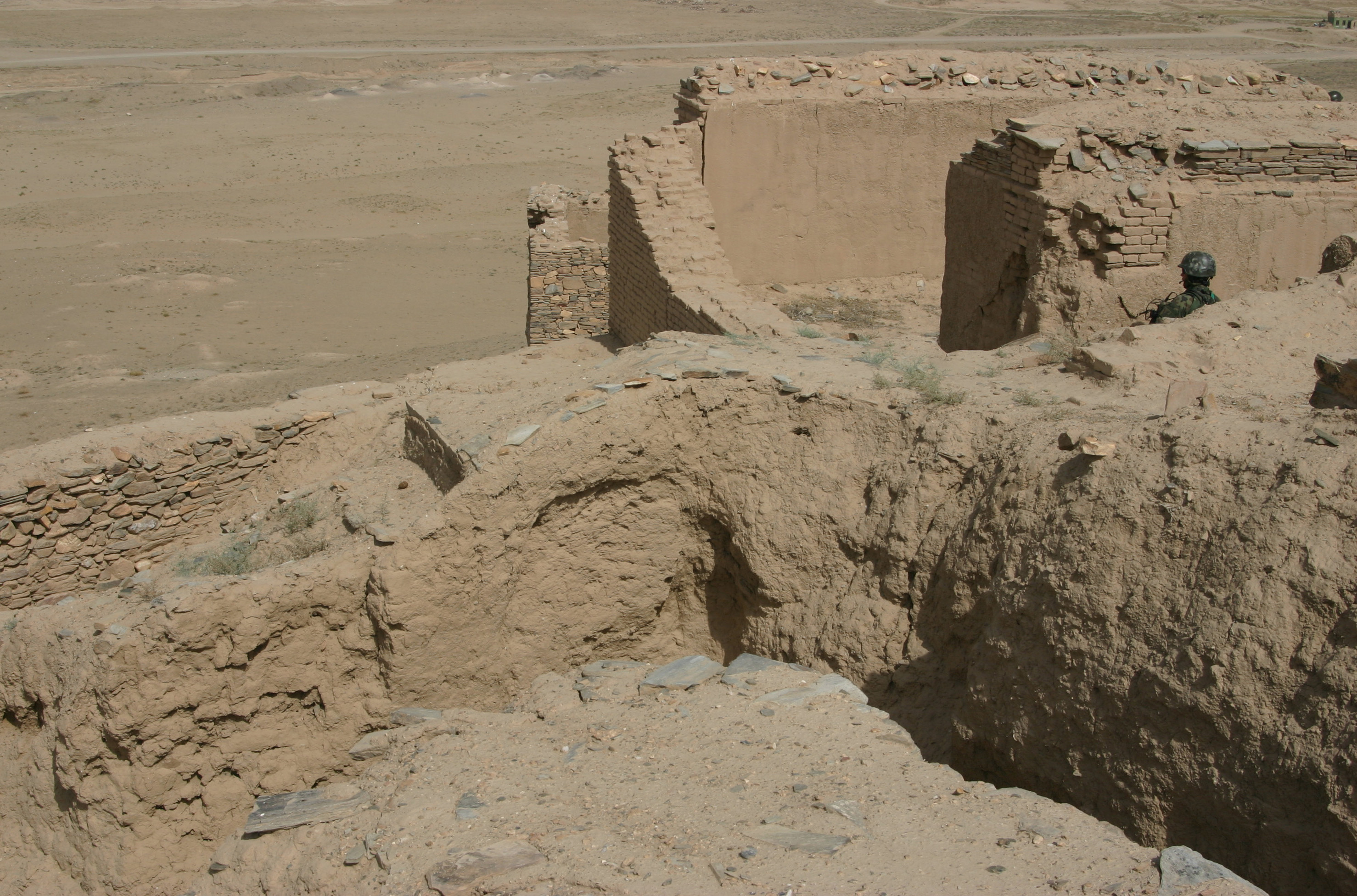
Monestery Above Plain

#MyApp plz like
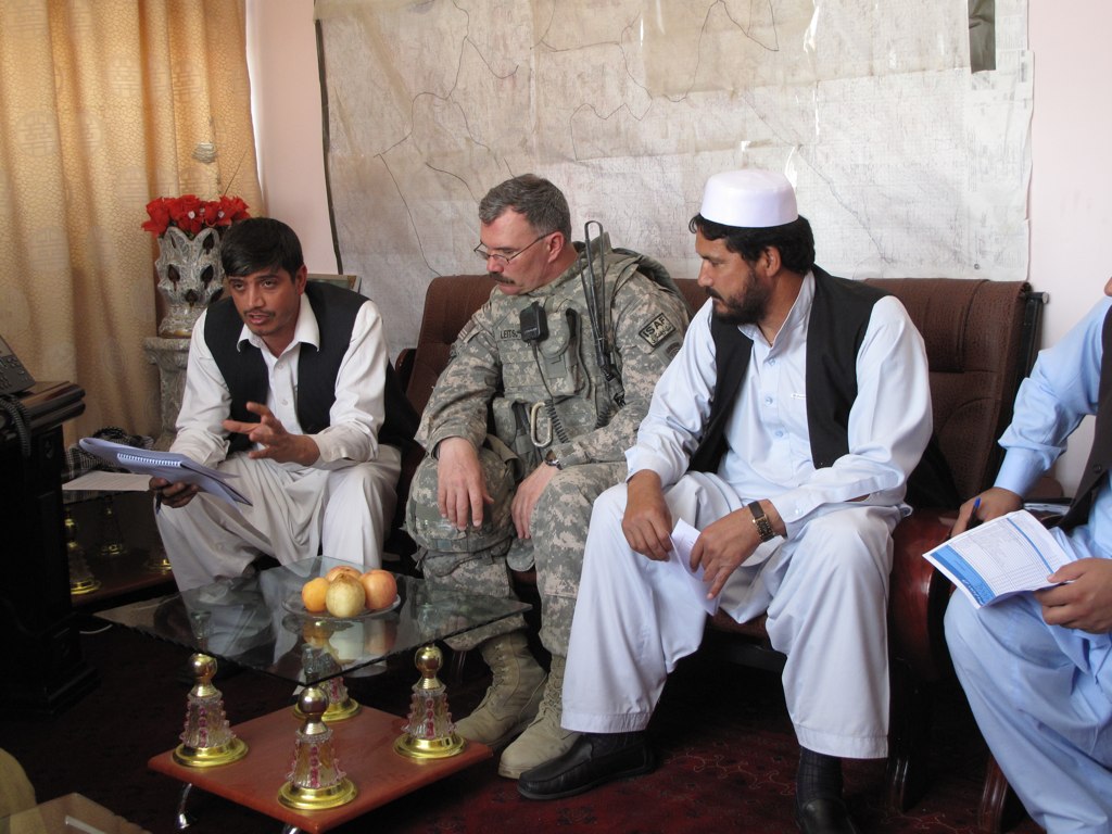
Meeting with Ghazni City Mayor
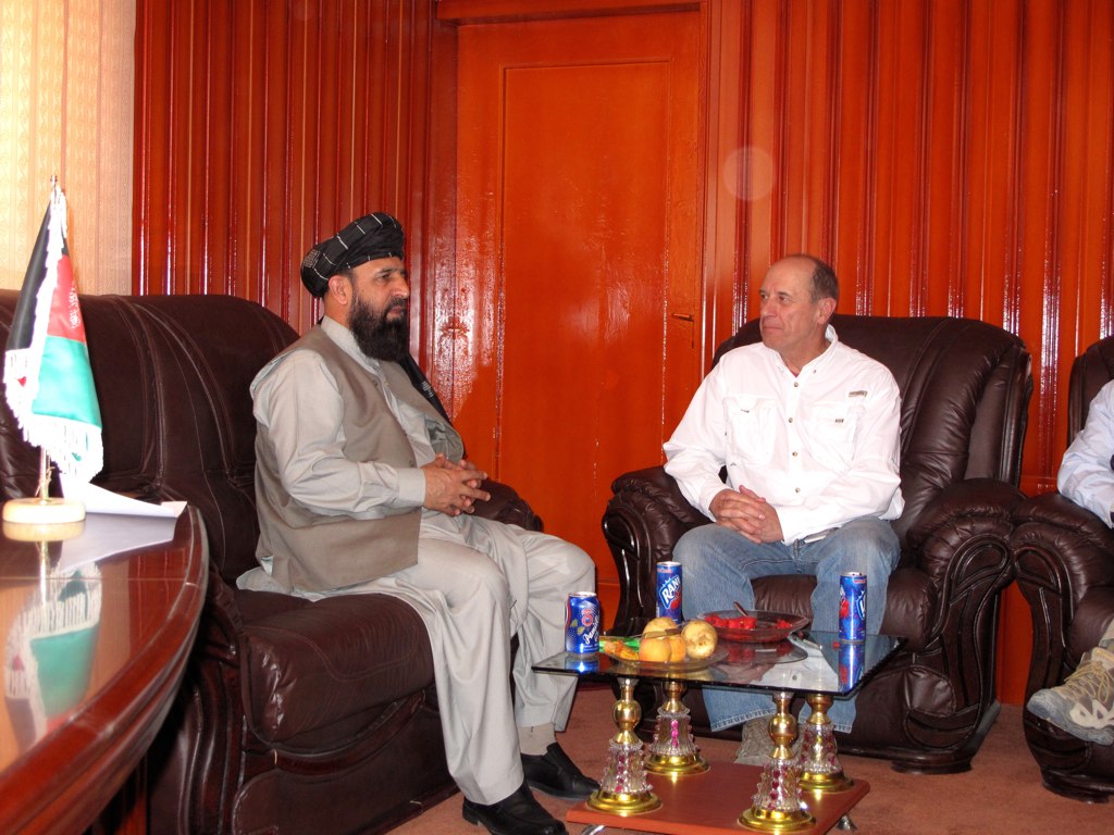
Ghazni Province Governor
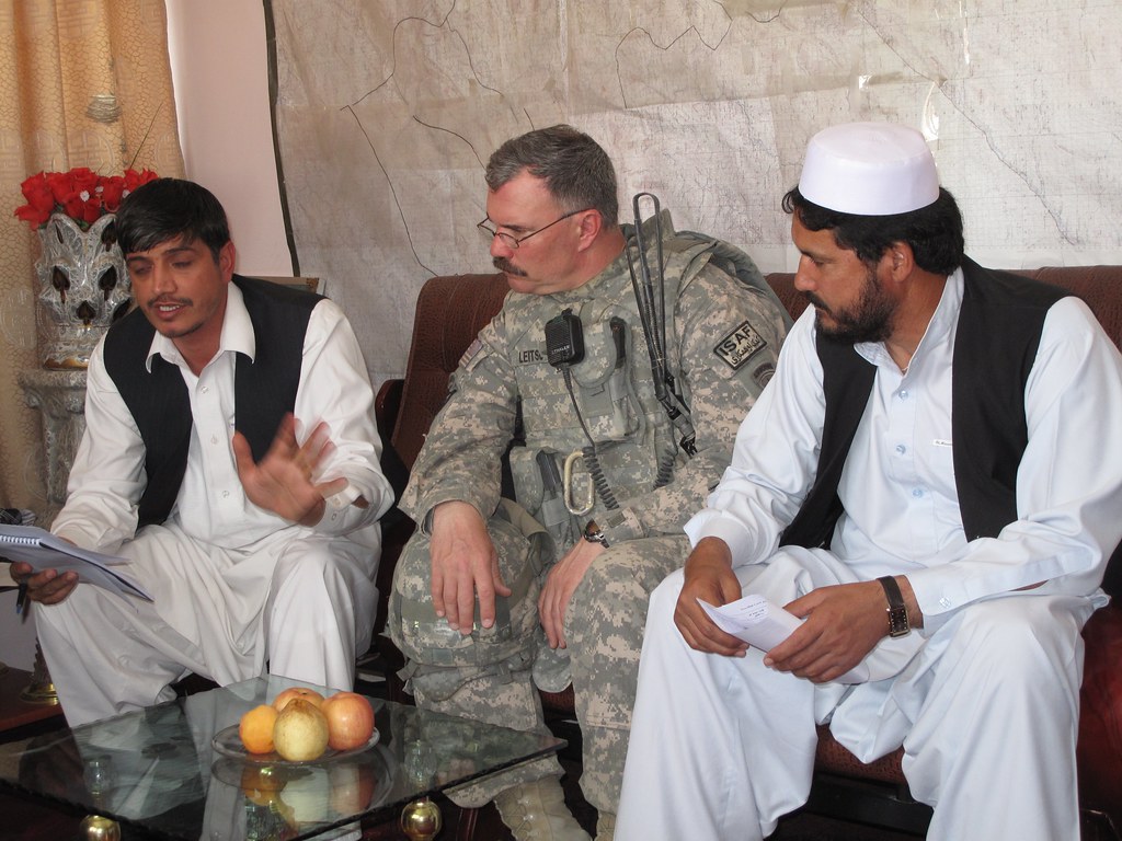
Ghazni Mayor Meeting
Ghazni, Afghanistan
Topographic Map of Ghazni, Afghanistan
Find elevation by address:

Places near Ghazni, Afghanistan:
Recent Searches:
- Elevation of 6 Muir St, Medowie NSW, Australia
- Elevation of Woodland Road, Woodland Rd, Lee, MA, USA
- Elevation of Turner Mill Rd, Talladega, AL, USA
- Elevation of Wylie Ridge Rd, New Cumberland, WV, USA
- Elevation of Dogwood Ln, Millsboro, DE, USA
- Elevation of Paseo Lucido, San Diego, CA, USA
- Elevation of W S, Orem, UT, USA
- Elevation of Water Bird Wy, Punta Gorda, FL, USA
- Elevation of Teiskontie 8, Tampere, Finland
- Elevation of Pacific View Dr, Malibu, CA, USA