Elevation of Germi, Ardabil Province, Iran
Location: Iran > Ardabil Province > Germi >
Longitude: 48.0802675
Latitude: 39.0393593
Elevation: 799m / 2621feet
Barometric Pressure: 92KPa
Elevation Map:
Satellite Map:
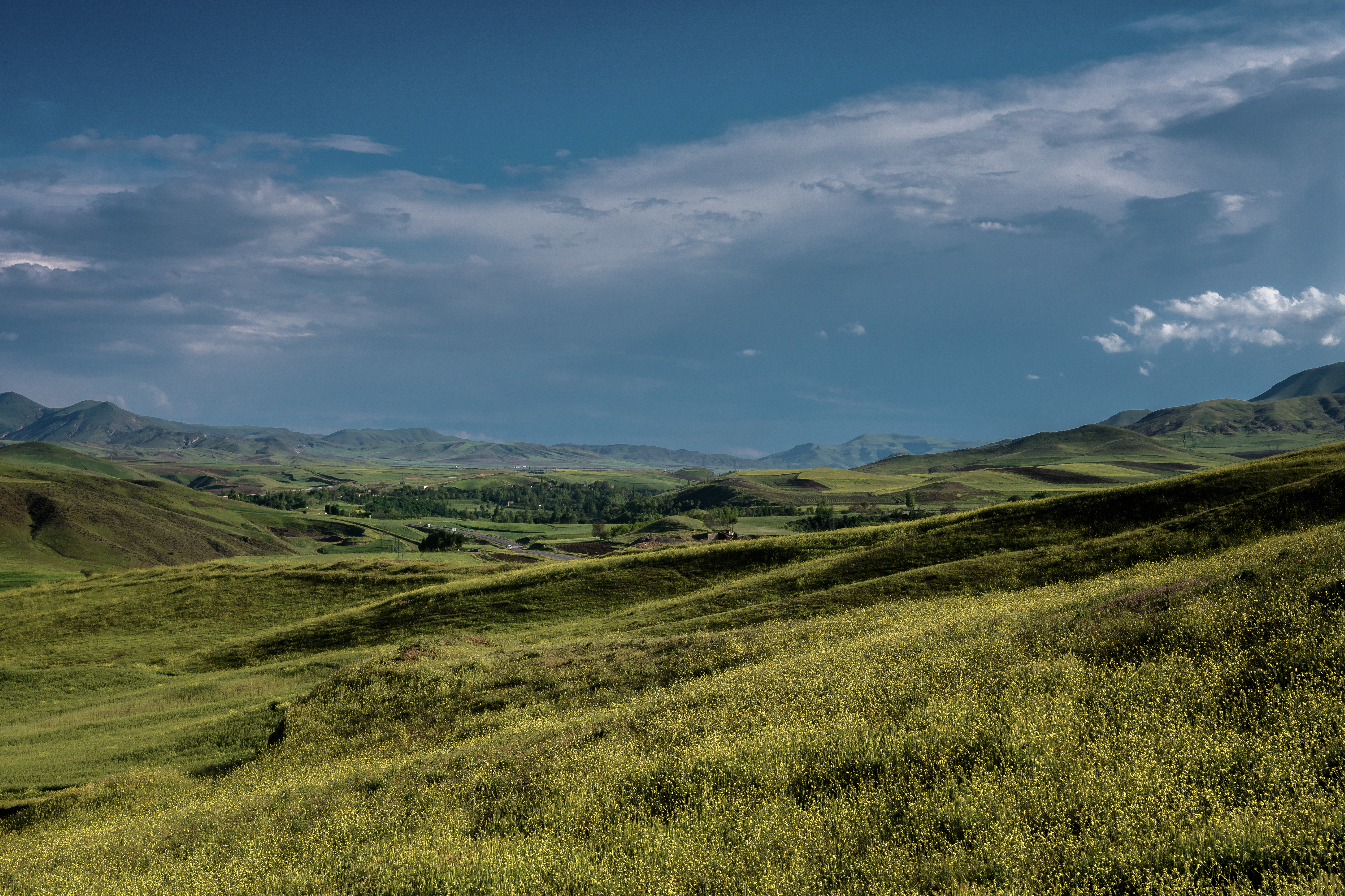
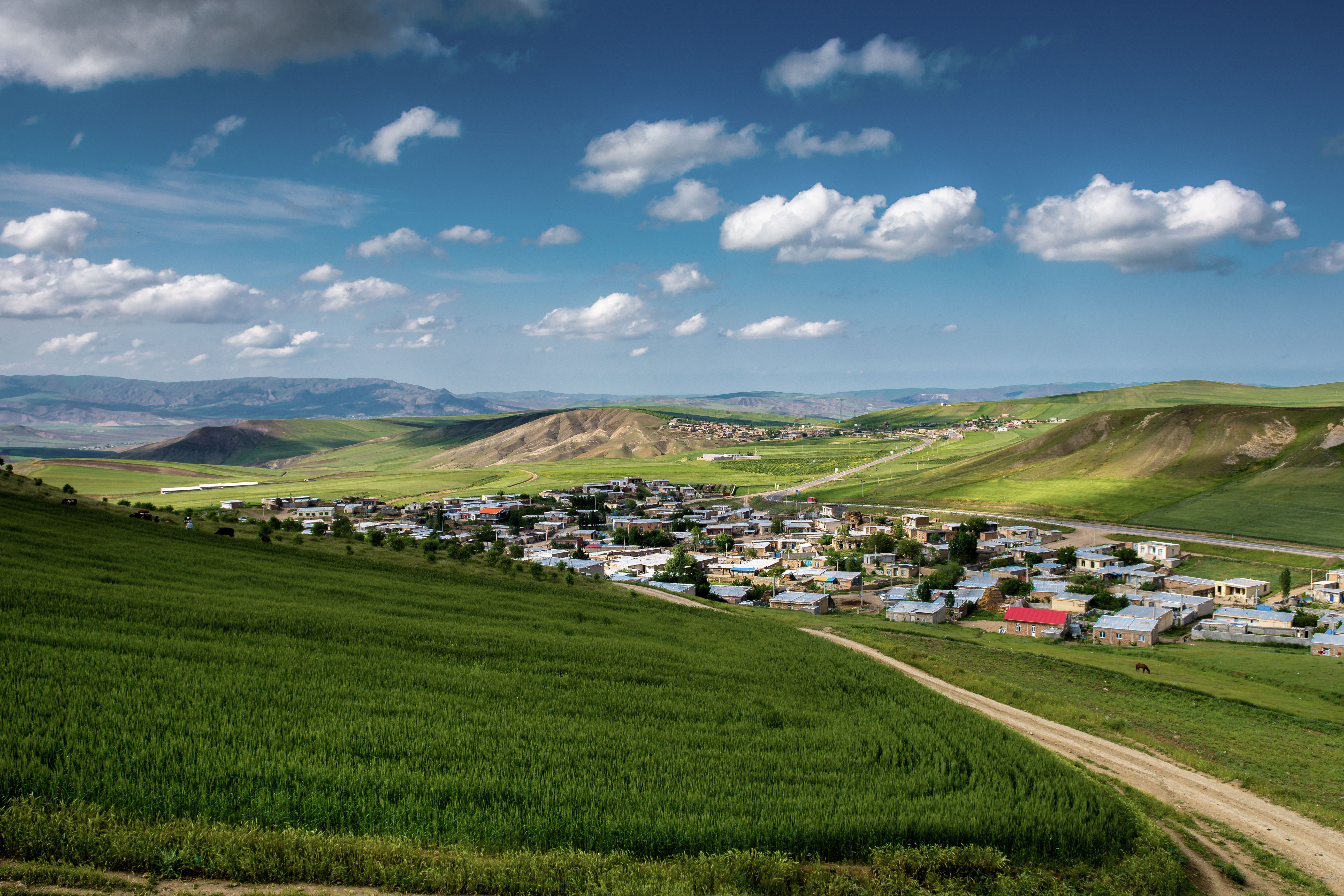
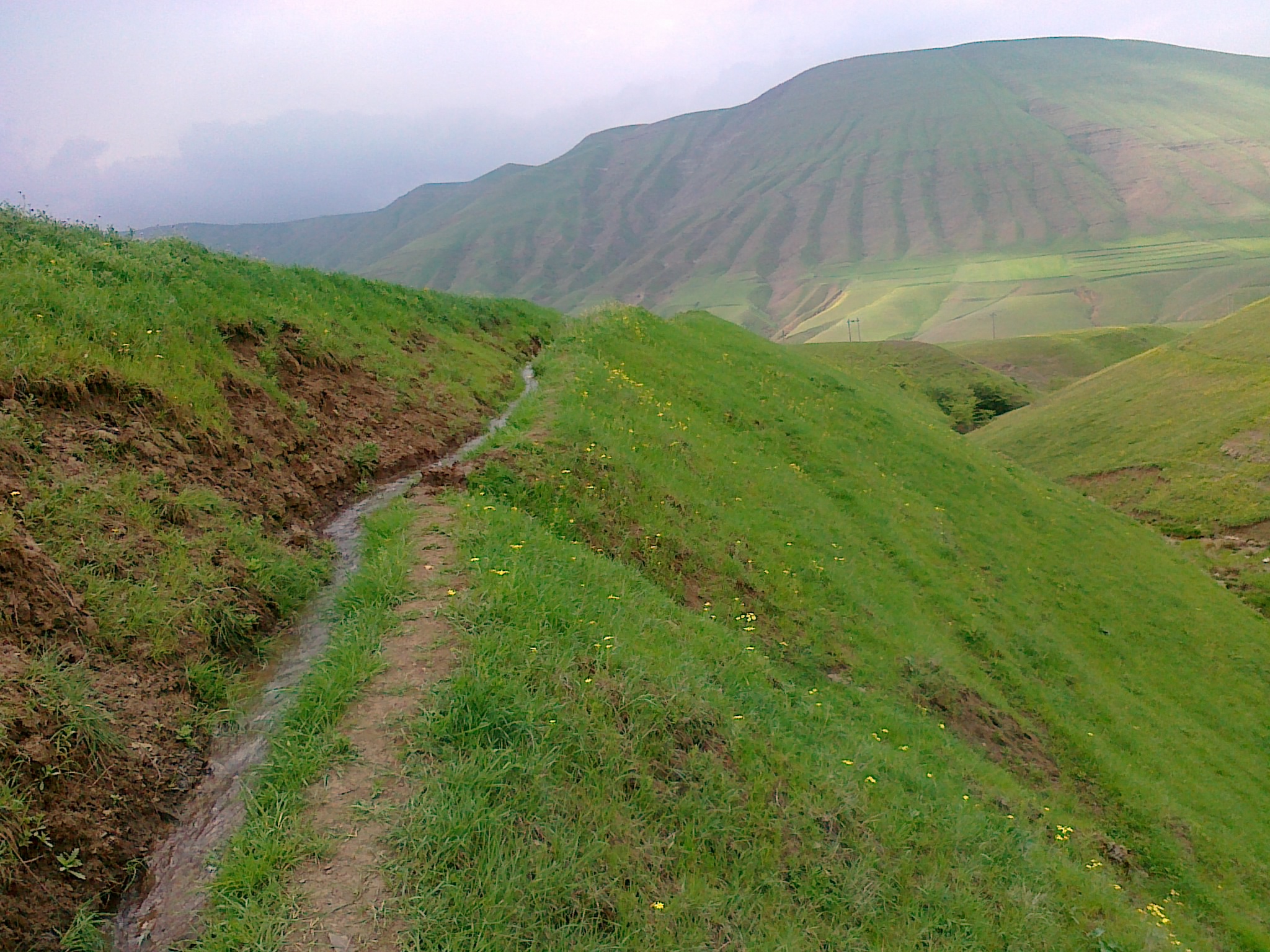
Related Photos:
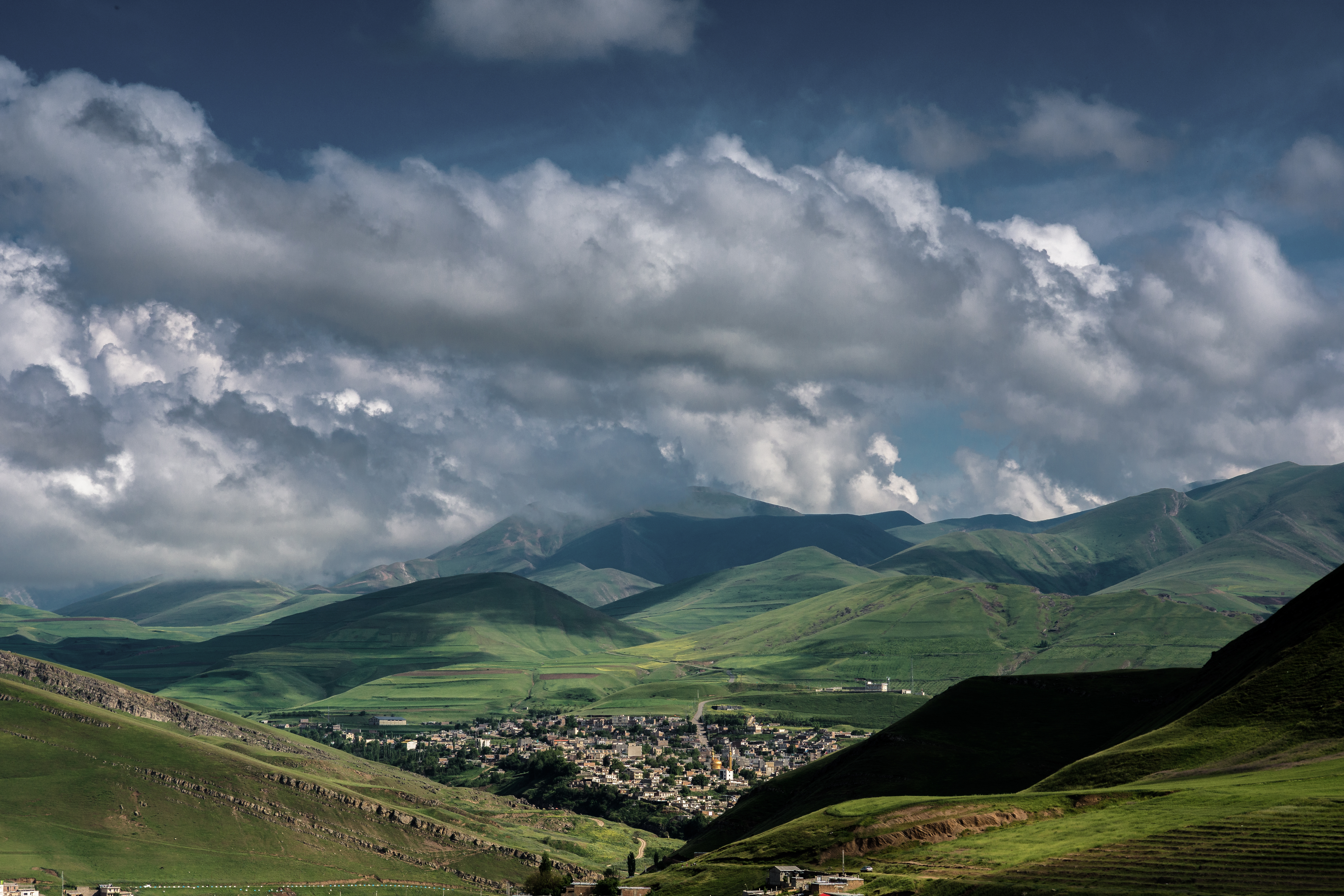
DSC_0255
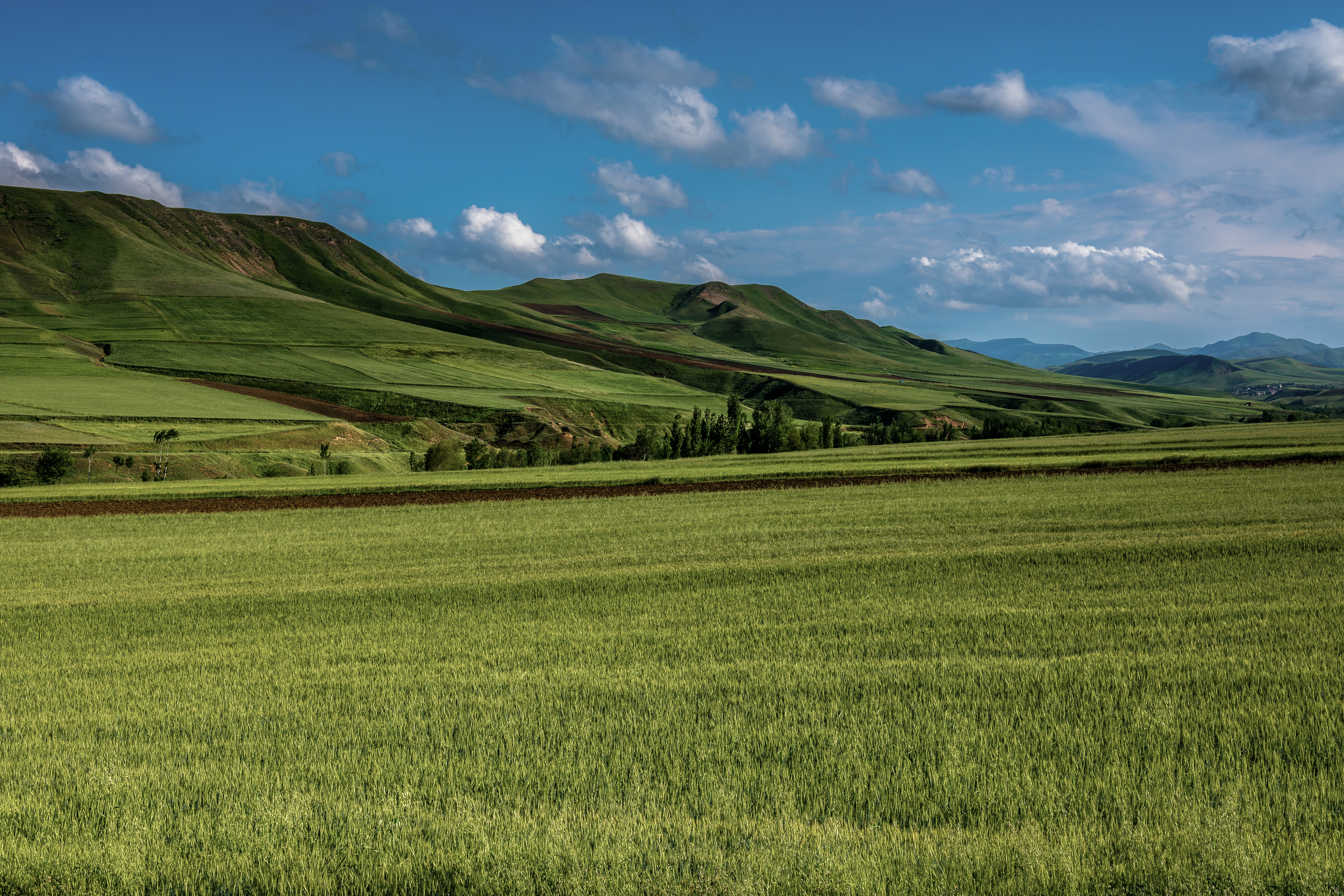
DSC_0318
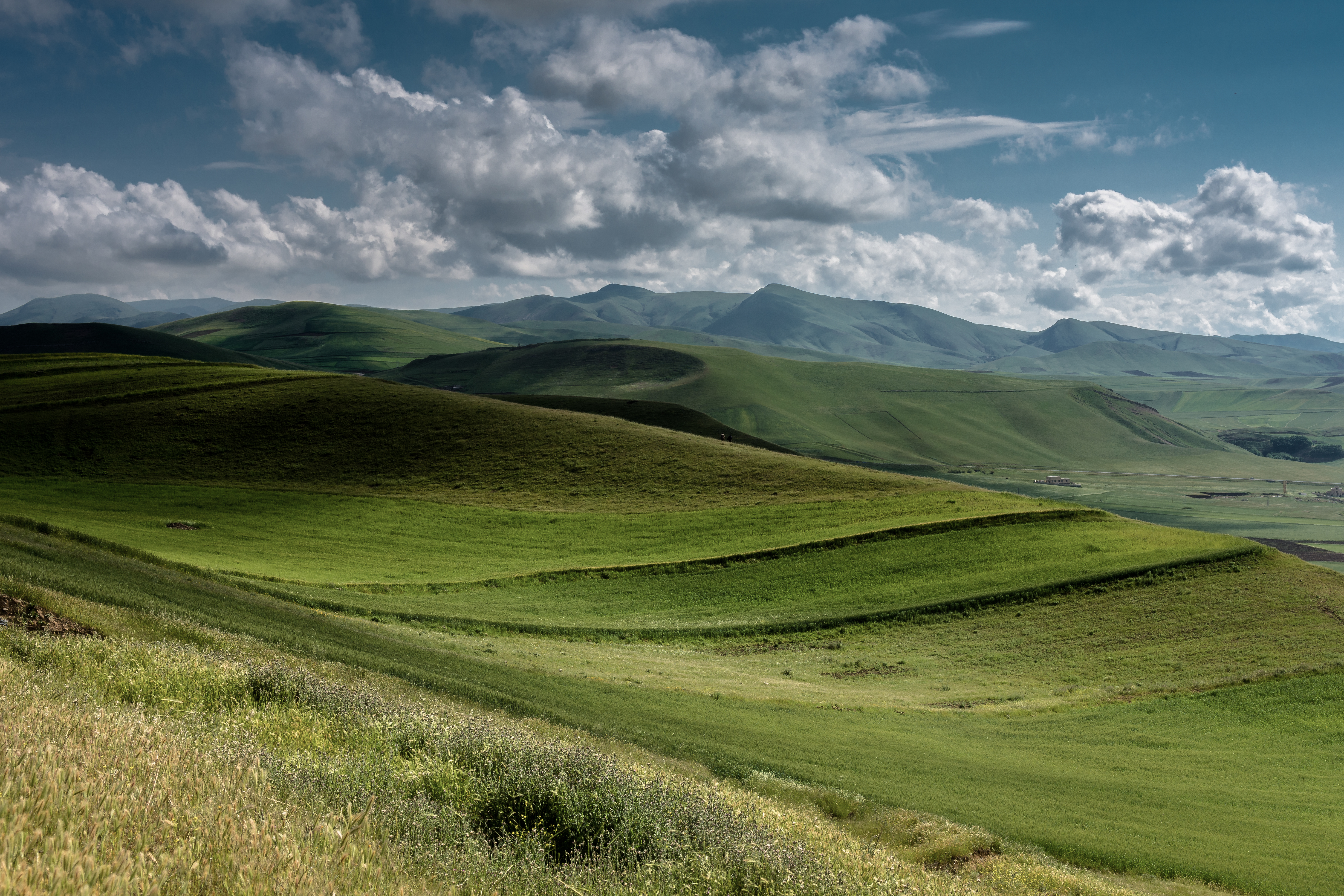
DSC_0237

DSC_0301

DSC_0252
DSC_0371

DSC_0373
DSC_0195

Topographic Map of Germi, Ardabil Province, Iran
Find elevation by address:

Places near Germi, Ardabil Province, Iran:
Germi
Bilesavar
Talish Mountains
Goytapa
Lerik
Pileh Rood Clinic
Ardabil Province
Masally
Namin
Ardabil
Sheikh Safi Al-din Ardabili's Shrine
Lankaran
Astara
Astara
Recent Searches:
- Elevation of Congressional Dr, Stevensville, MD, USA
- Elevation of Bellview Rd, McLean, VA, USA
- Elevation of Stage Island Rd, Chatham, MA, USA
- Elevation of Shibuya Scramble Crossing, 21 Udagawacho, Shibuya City, Tokyo -, Japan
- Elevation of Jadagoniai, Kaunas District Municipality, Lithuania
- Elevation of Pagonija rock, Kranto 7-oji g. 8"N, Kaunas, Lithuania
- Elevation of Co Rd 87, Jamestown, CO, USA
- Elevation of Tenjo, Cundinamarca, Colombia
- Elevation of Côte-des-Neiges, Montreal, QC H4A 3J6, Canada
- Elevation of Bobcat Dr, Helena, MT, USA