Elevation of Germany Mountain Rd, Talladega, AL, USA
Location: United States > Alabama > Talladega County > Talladega >
Longitude: -86.080449
Latitude: 33.333536
Elevation: 284m / 932feet
Barometric Pressure: 98KPa
Elevation Map:
Satellite Map:
Related Photos:
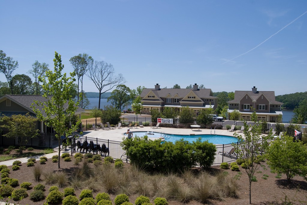
View from Condo Balcony at Talladega
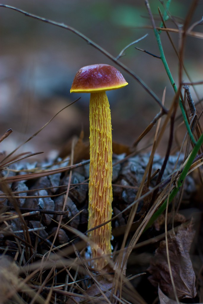
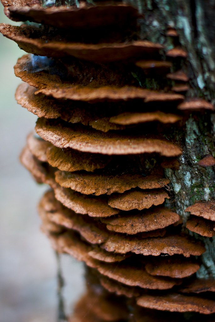
Fungus Among Us
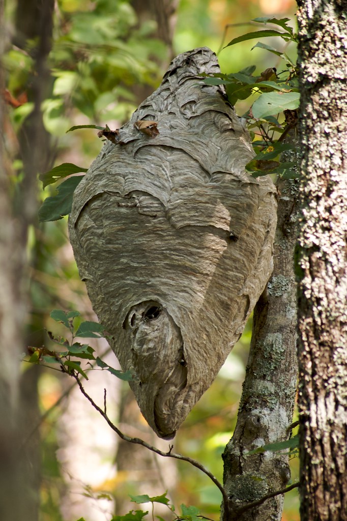
No Honey Here
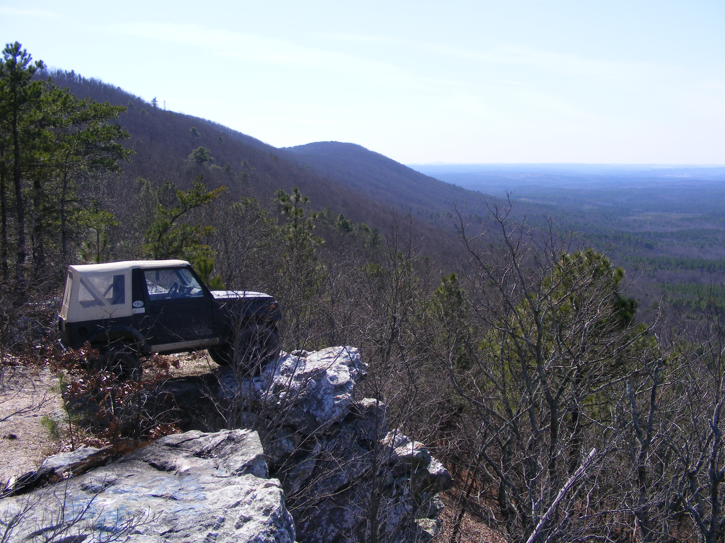
parking spot with a view
Fairy Staircase
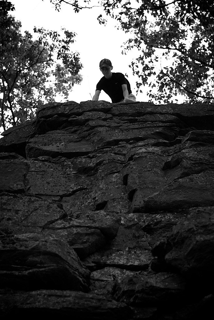
Top of The World
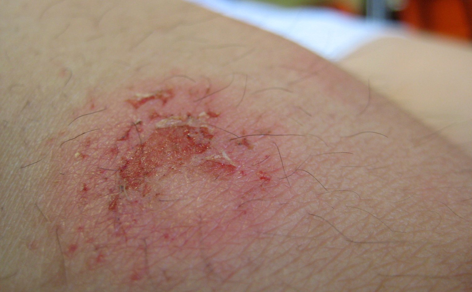
paintballin wounds
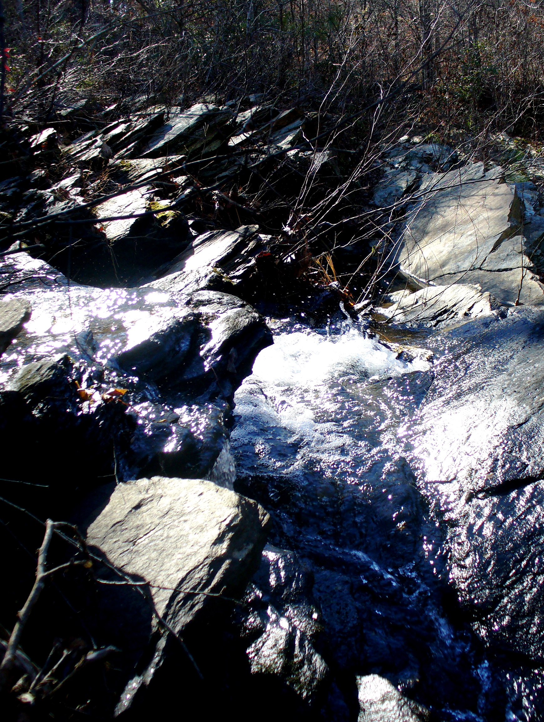
Water falling
Wormy's Pulpit
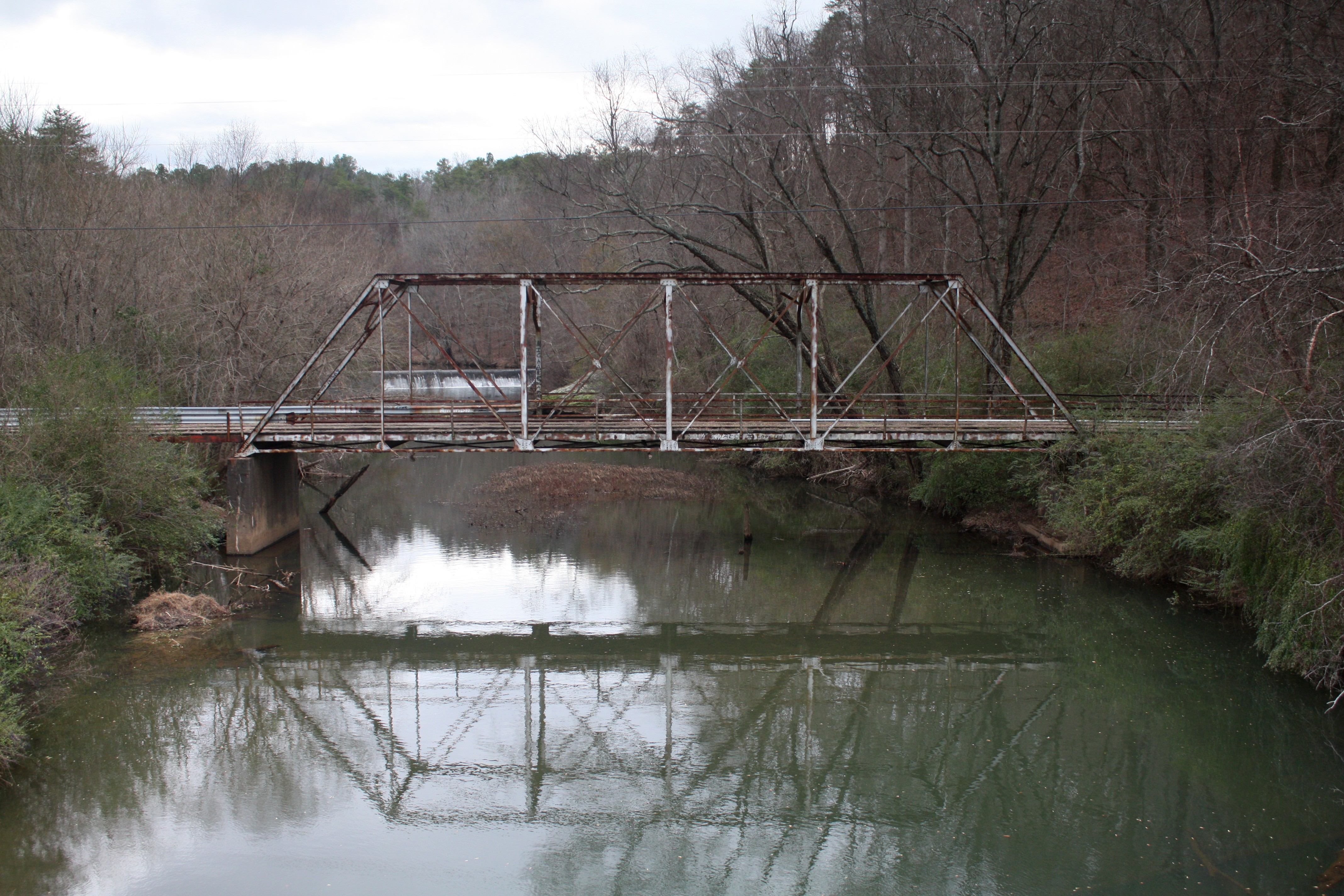
Old Talladega Creek Bridge
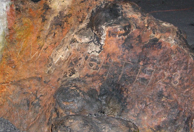
I.W. Wright 1723

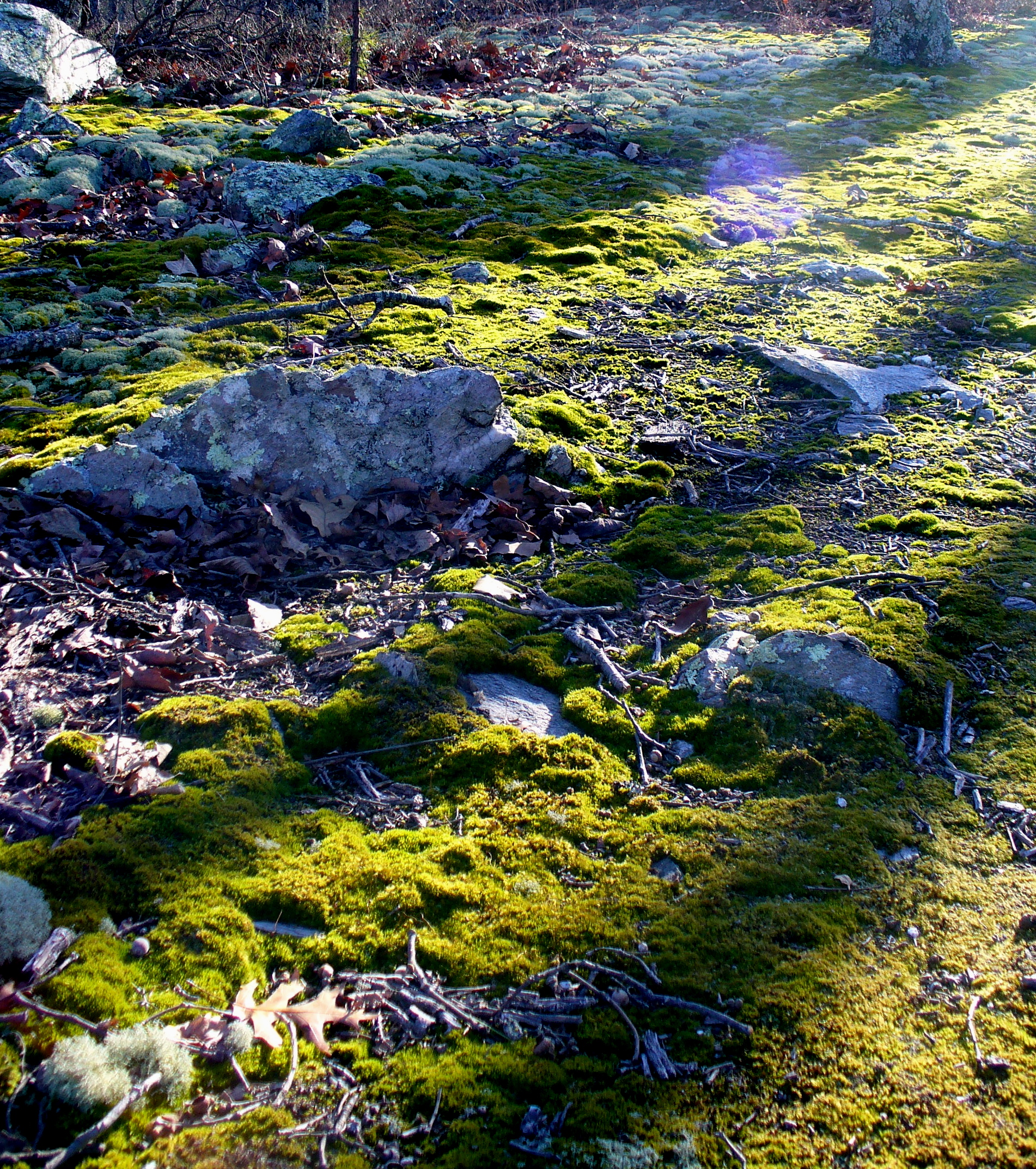
Another Alabama spring
Topographic Map of Germany Mountain Rd, Talladega, AL, USA
Find elevation by address:

Places near Germany Mountain Rd, Talladega, AL, USA:
3333 Germany Mountain Rd
6812 Rendalia Mtwy
Allison Mill Rd, Talladega, AL, USA
Berney Station Rd, Talladega, AL, USA
Waldo
Shady Hollow Ln, Waldo, AL, USA
Turpentine Ln, Talladega, AL, USA
Magnolia Crest Estate, Talladega, AL, USA
Stockdale Rd, Munford, AL, USA
Talladega County
Talladega
North St E, Talladega, AL, USA
Ragans Ln, Talladega, AL, USA
Ave H, Talladega, AL, USA
Woolfolk Rd, Munford, AL, USA
AL-21, Alpine, AL, USA
Clairmont Springs Rd, Talladega, AL, USA
1090 Co Rd 244
Shocco Springs Rd, Talladega, AL, USA
18 Bolden Dr, Talladega, AL, USA
Recent Searches:
- Elevation of 6 Rue Jules Ferry, Beausoleil, France
- Elevation of Sattva Horizon, 4JC6+G9P, Vinayak Nagar, Kattigenahalli, Bengaluru, Karnataka, India
- Elevation of Great Brook Sports, Gold Star Hwy, Groton, CT, USA
- Elevation of 10 Mountain Laurels Dr, Nashua, NH, USA
- Elevation of 16 Gilboa Ln, Nashua, NH, USA
- Elevation of Laurel Rd, Townsend, TN, USA
- Elevation of 3 Nestling Wood Dr, Long Valley, NJ, USA
- Elevation of Ilungu, Tanzania
- Elevation of Yellow Springs Road, Yellow Springs Rd, Chester Springs, PA, USA
- Elevation of Rēzekne Municipality, Latvia