Elevation of Georgetown, ID, USA
Location: United States > Idaho > Bear Lake County >
Longitude: -111.37076
Latitude: 42.4821477
Elevation: 1839m / 6033feet
Barometric Pressure: 81KPa
Elevation Map:
Satellite Map:
Related Photos:

Threemile Peak Reflection
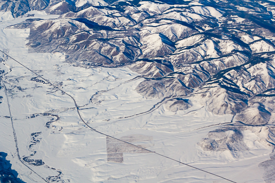
Aerial View of Idaho
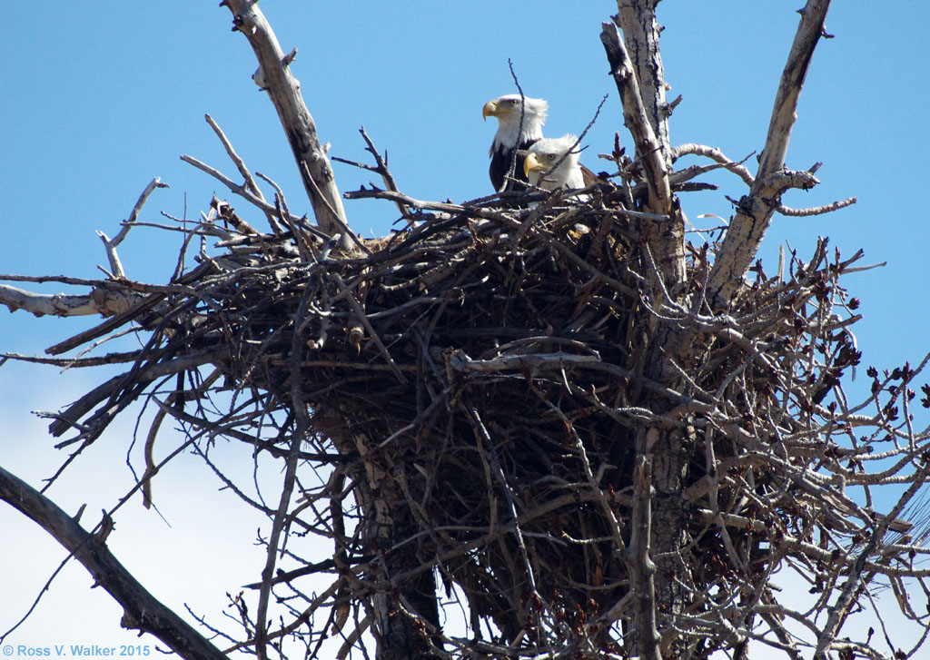
Eagle's Nest
Meade Peak
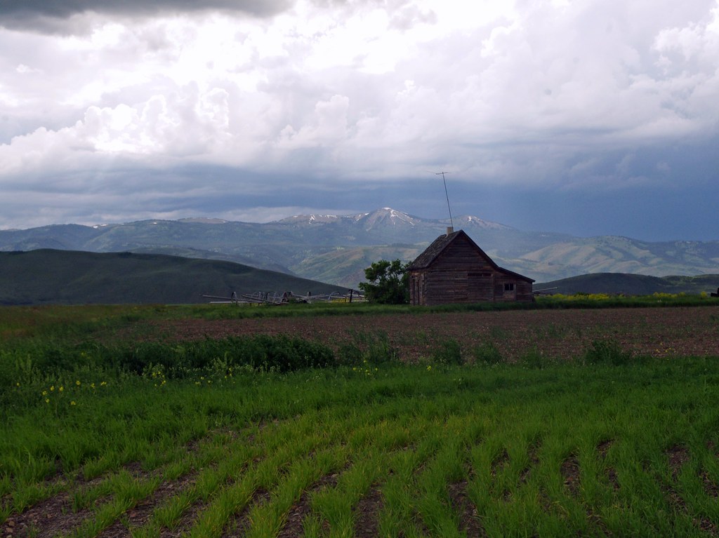
Summer Sunday Storm

Mt Sherman Sunset
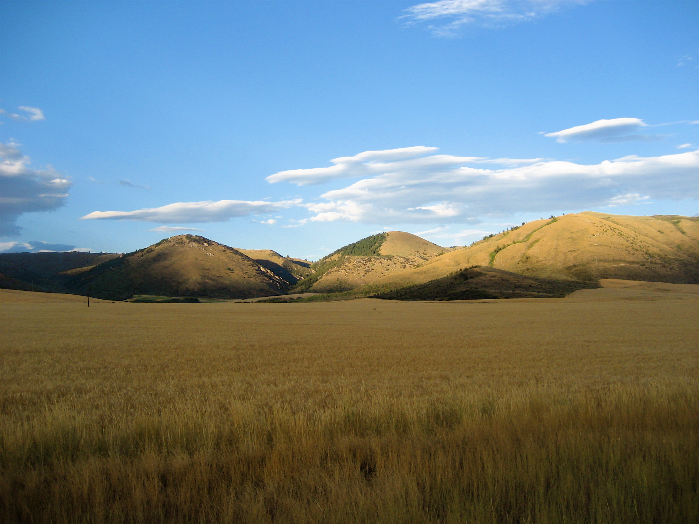
Wheat Field
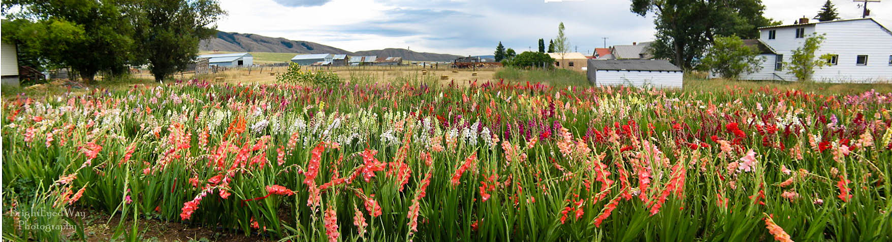
Alleman's Gladiolas
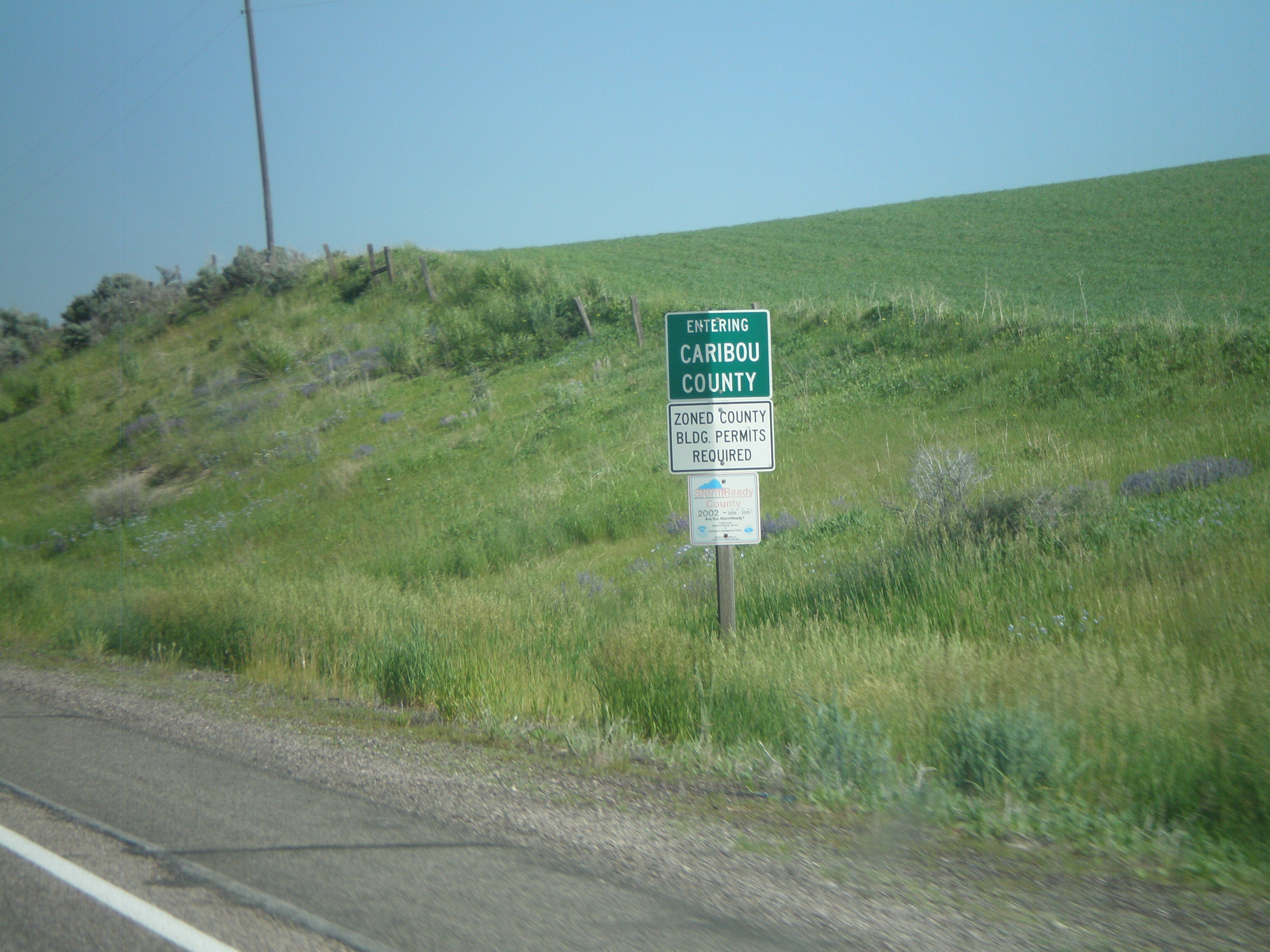
US-30 West - Entering Caribou County

Winters finale
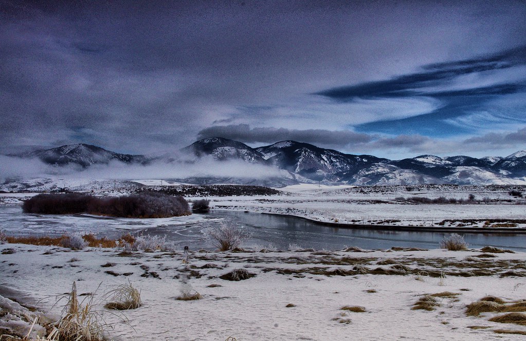
Bear River
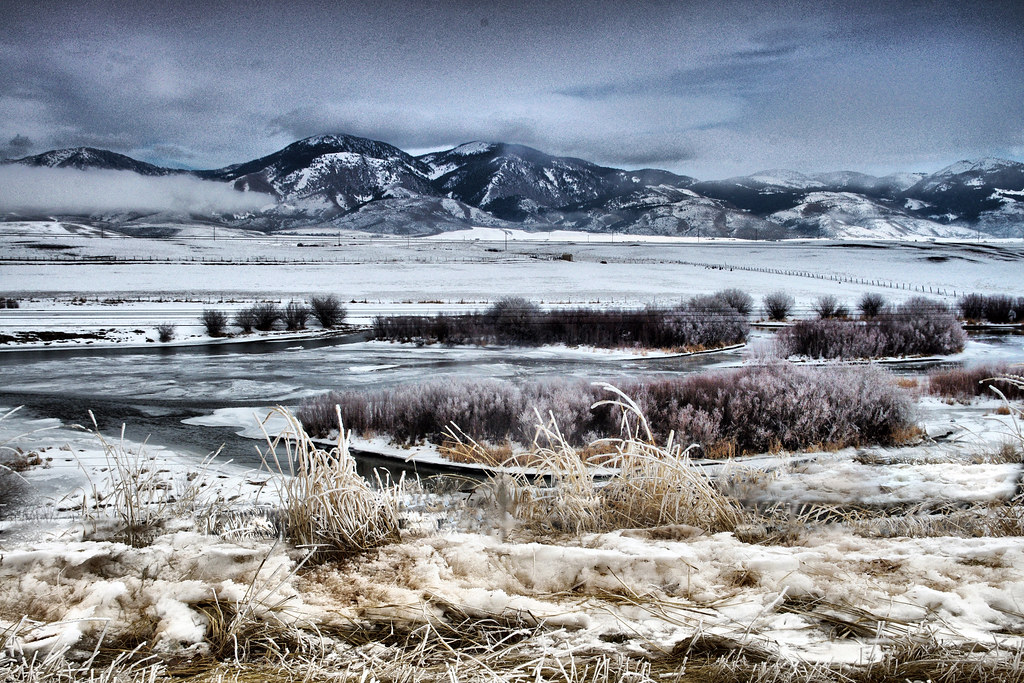
The Bear River

Mountainside Garden

Idaho Mountains
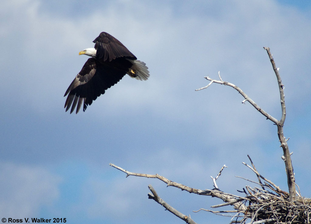
Bald Eagle Take-off
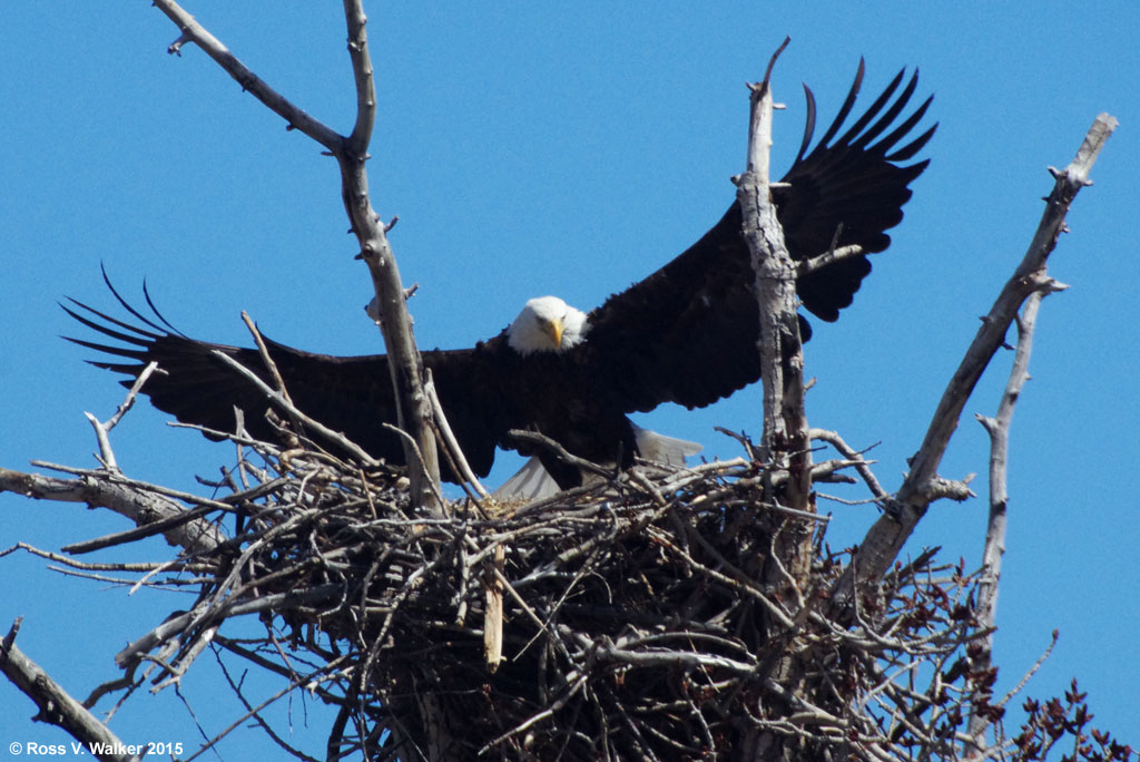
Bald Eagle Landing
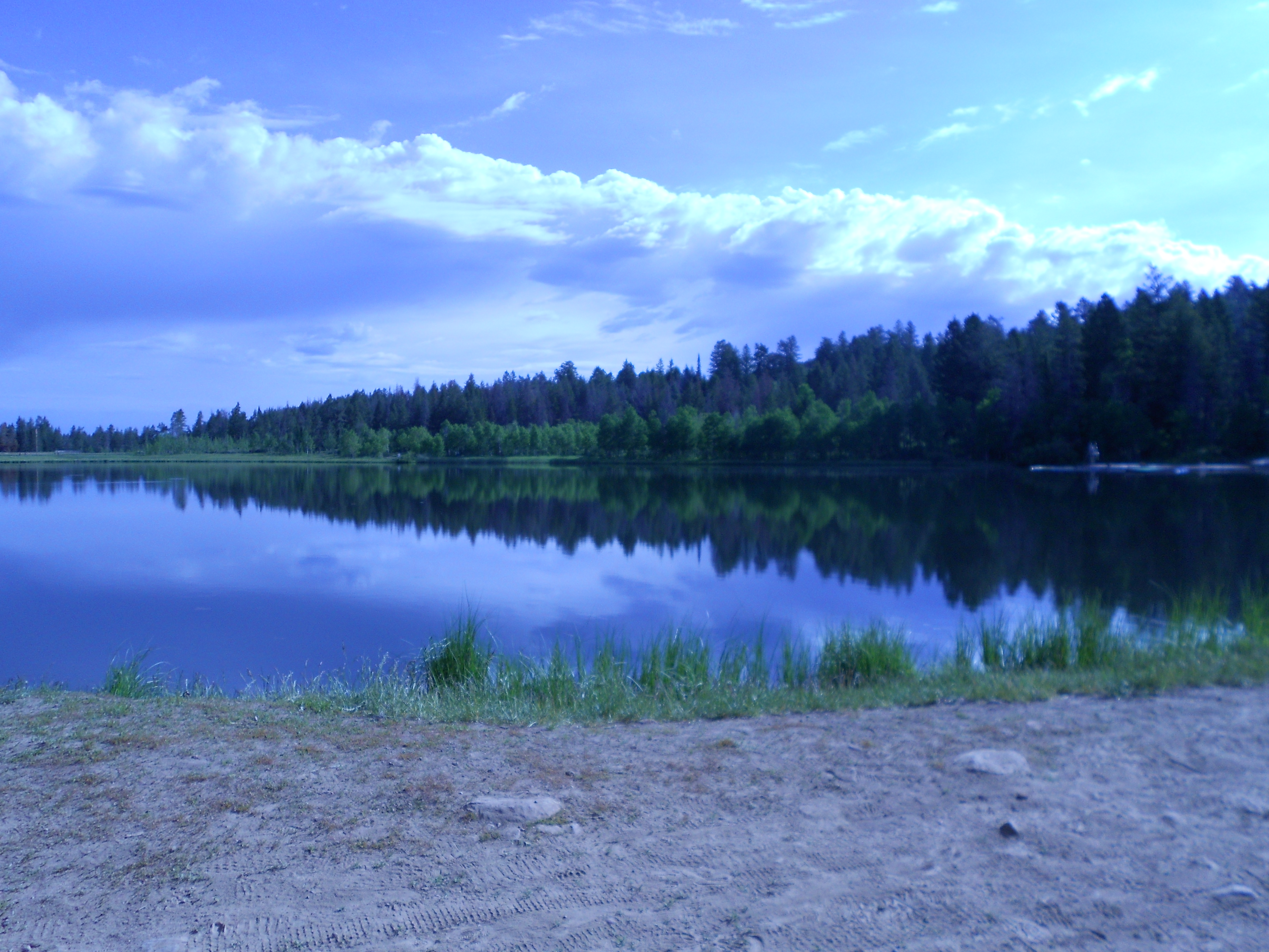
Fife Lake

Post Office 83239 (Georgetown, Idaho)
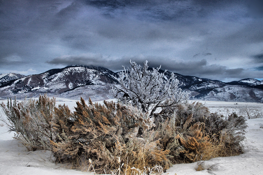
Waitin For Spring
Sherman Peak,Sunset
Topographic Map of Georgetown, ID, USA
Find elevation by address:

Places near Georgetown, ID, USA:
Diamond Heart Brand Beef Grass Fed Beef
Montpelier
760 Jefferson St
Ovid
Paris
Bear Lake County
Geneva Summit
Soda Springs
Bloomington
15 N 2nd St, Bloomington, ID, USA
13909 N Cleveland Rd
Caribou County
Henry Cutoff Road
Henry Cutoff Road
Franklin County
Stock Valley
Wayan
13489 N Johnson Rd
4317 Tincup Rd
Bancroft
Recent Searches:
- Elevation of Gateway Blvd SE, Canton, OH, USA
- Elevation of East W.T. Harris Boulevard, E W.T. Harris Blvd, Charlotte, NC, USA
- Elevation of West Sugar Creek, Charlotte, NC, USA
- Elevation of Wayland, NY, USA
- Elevation of Steadfast Ct, Daphne, AL, USA
- Elevation of Lagasgasan, X+CQH, Tiaong, Quezon, Philippines
- Elevation of Rojo Ct, Atascadero, CA, USA
- Elevation of Flagstaff Drive, Flagstaff Dr, North Carolina, USA
- Elevation of Avery Ln, Lakeland, FL, USA
- Elevation of Woolwine, VA, USA