Elevation of George Town Council, George Town, TAS, Australia
Location: Australia > Tasmania >
Longitude: 147.061503
Latitude: -41.086692
Elevation: 81m / 266feet
Barometric Pressure: 100KPa
Elevation Map:
Satellite Map:
Related Photos:
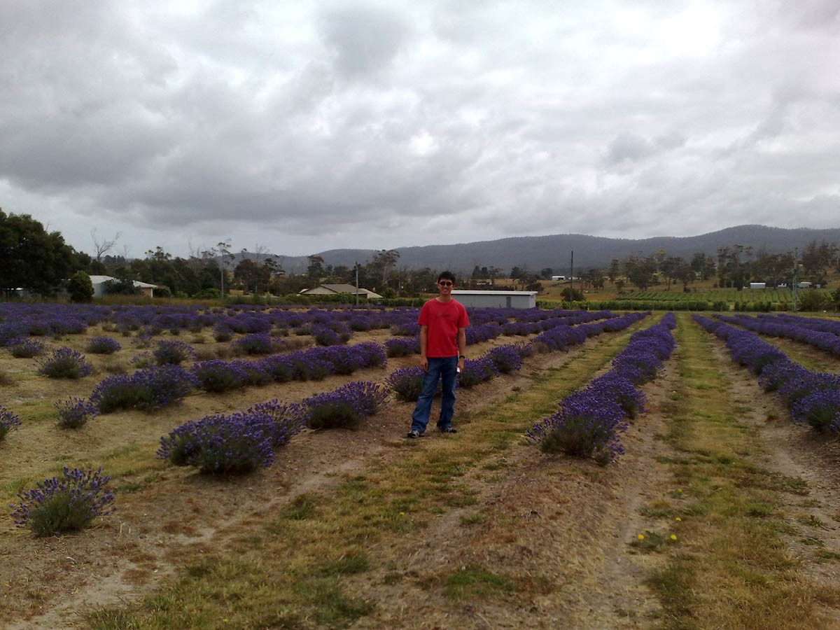
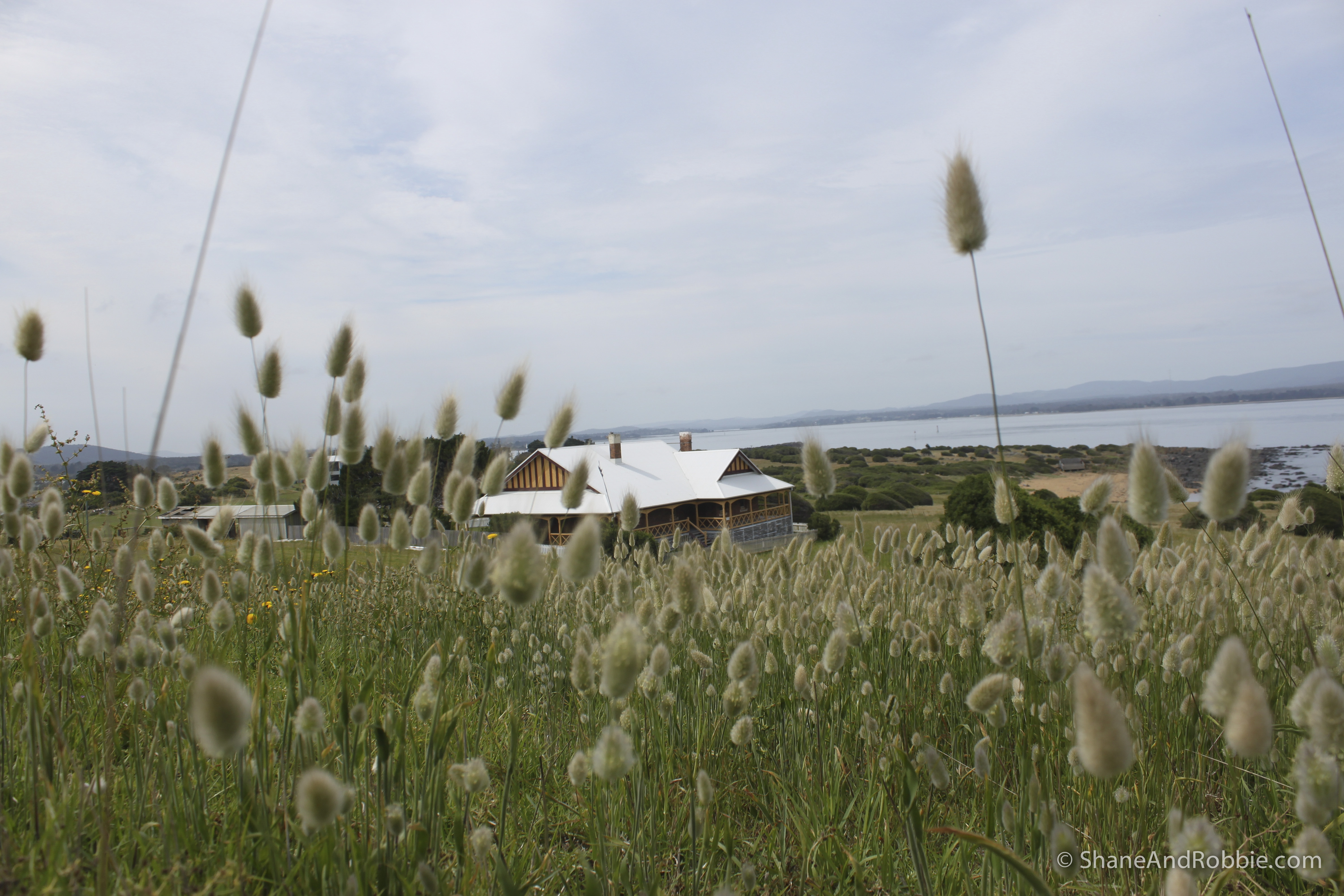
Rowella Lavendar Farm
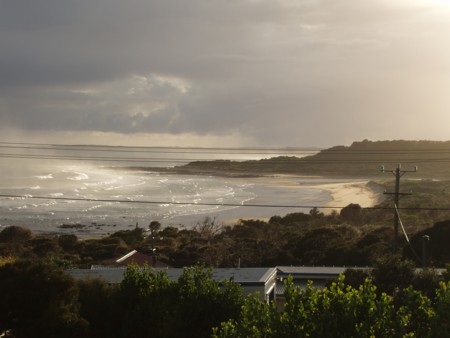
Afternoon sunlight Weymouth

Clear day at Curries River Dam 2

Clear day at Curries River Dam
DSCF3563.jpg
Australia, Tasmania - 2009-20091126-00228(Canon EOS 500D)
Australia, Tasmania - 2009-20091126-00229(Canon EOS 500D)

in the margin of moments
Tamar River near Launceston, Tasmania

DSCF3580.jpg

DSCF3578.jpg

East Tamar Highway - Bell Bay (5)

East Tamar Highway - Bell Bay (5a)

East Tamar Highway - Bell Bay (7)

East Tamar Highway - Bell Bay (8)

East Tamar Highway - Bell Bay (2)

East Tamar Highway - Bell Bay (3)

East Tamar Highway - Bell Bay (4)

East Tamar Highway - Bell Bay (6)
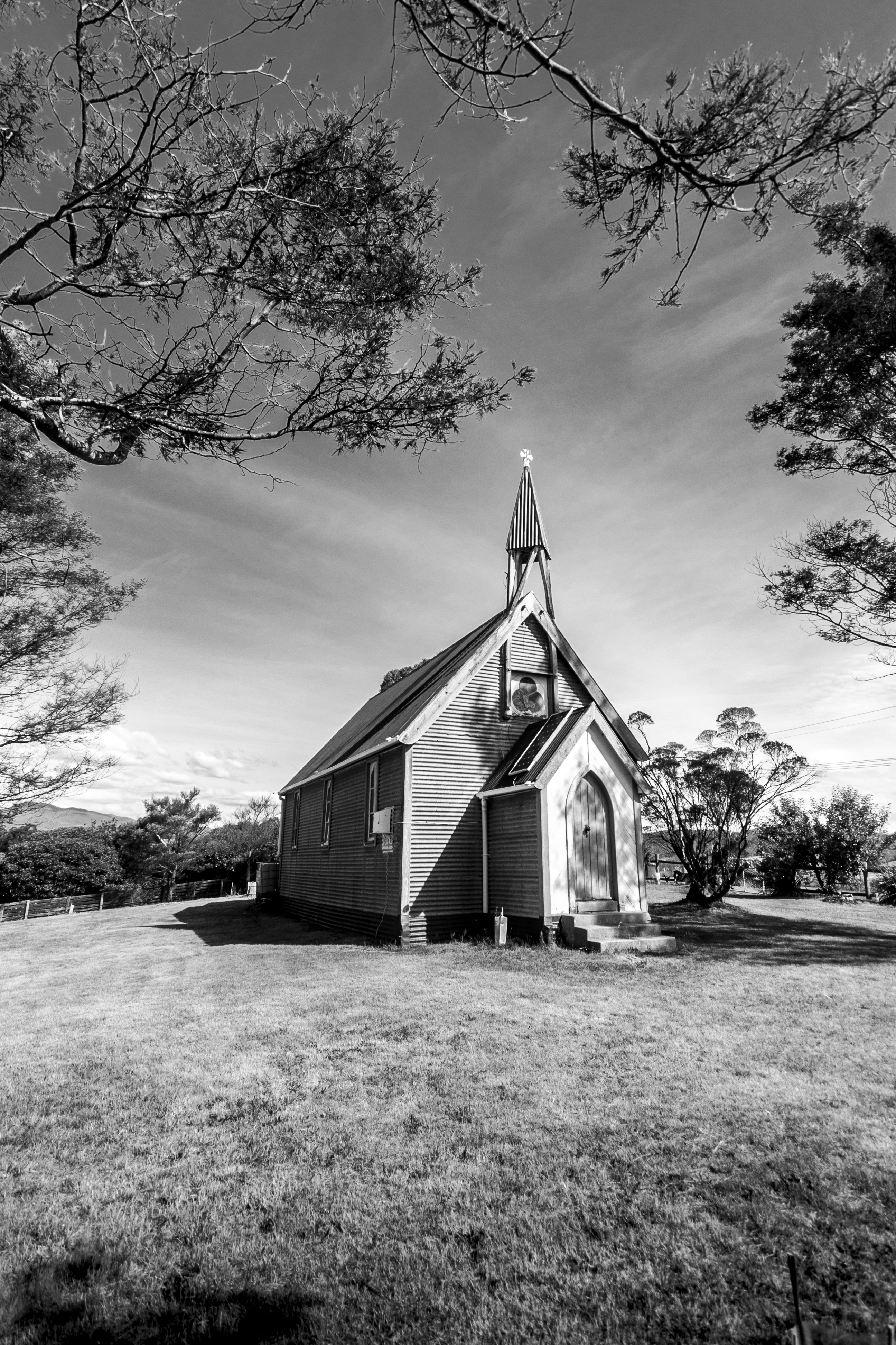
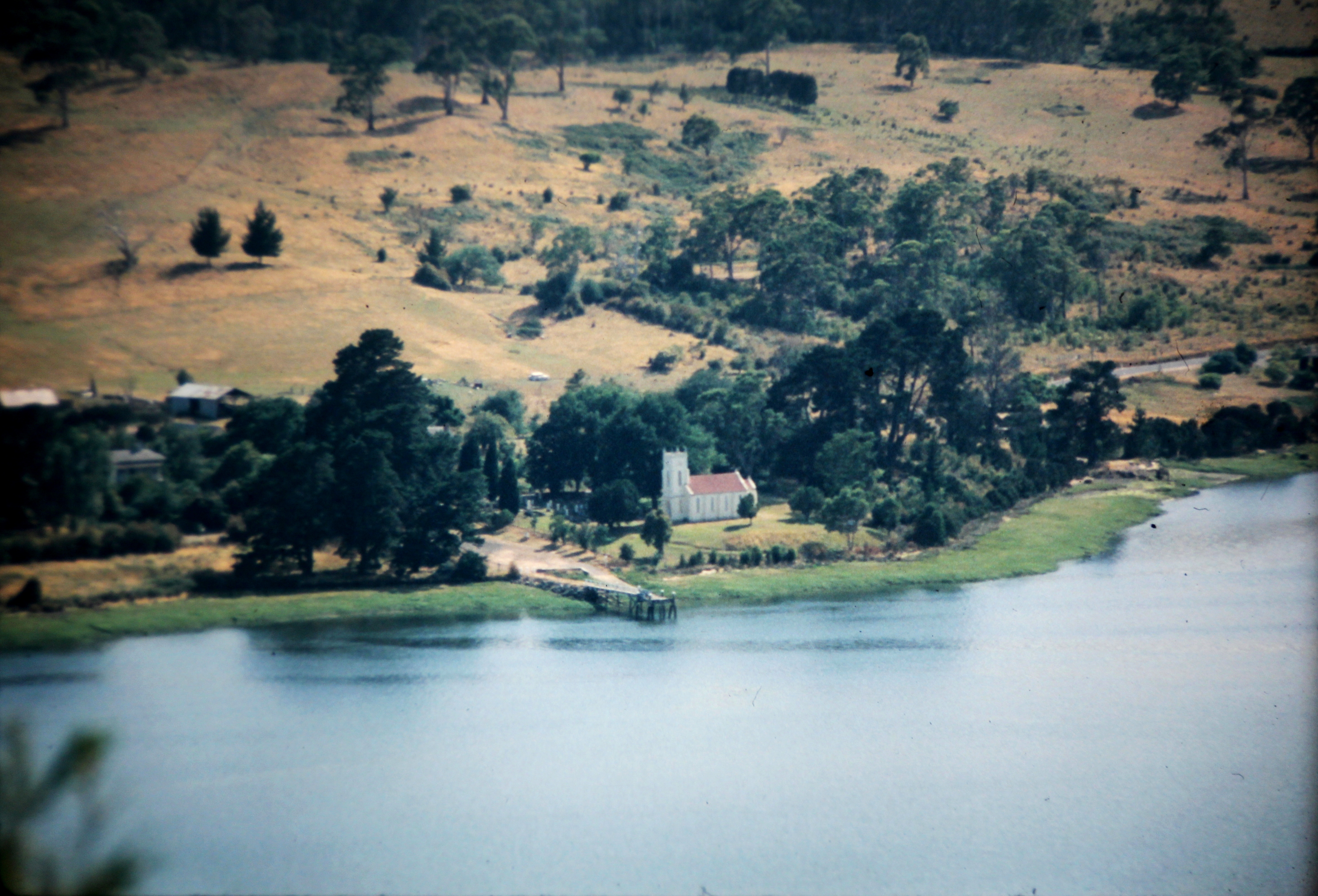
Bangor Church, Tasmania
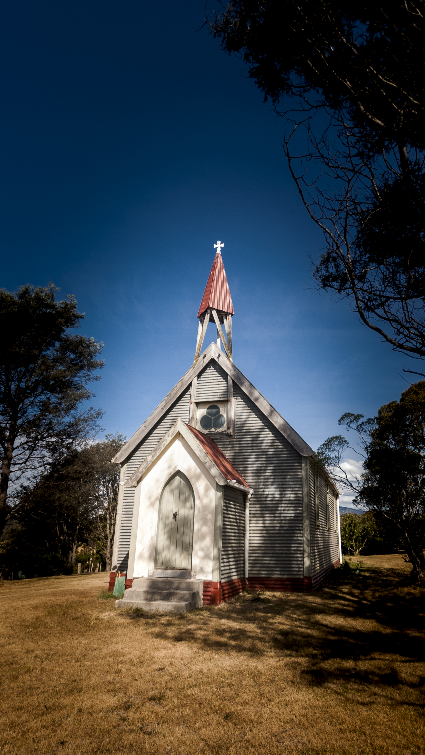
Bangor Church
Topographic Map of George Town Council, George Town, TAS, Australia
Find elevation by address:

Places in George Town Council, George Town, TAS, Australia:
Places near George Town Council, George Town, TAS, Australia:
5 Davis St
17 Jollys Rd
Lebrina
Deviot
Hadleigh Farm
Robigana
Loira
George Town
Dilston
122 Anne St
Barrack Street
25 Rosevears Dr
West Tamar Council
37 Alpine Cres
Grindelwald
16 Mountain View Cres
32 Pleasant Hills Dr
Legana
Acropolis Drive
Corfu Court
Recent Searches:
- Elevation of W Granada St, Tampa, FL, USA
- Elevation of Pykes Down, Ivybridge PL21 0BY, UK
- Elevation of Jalan Senandin, Lutong, Miri, Sarawak, Malaysia
- Elevation of Bilohirs'k
- Elevation of 30 Oak Lawn Dr, Barkhamsted, CT, USA
- Elevation of Luther Road, Luther Rd, Auburn, CA, USA
- Elevation of Unnamed Road, Respublika Severnaya Osetiya — Alaniya, Russia
- Elevation of Verkhny Fiagdon, North Ossetia–Alania Republic, Russia
- Elevation of F. Viola Hiway, San Rafael, Bulacan, Philippines
- Elevation of Herbage Dr, Gulfport, MS, USA