Elevation of Gemeinde Gutau, Austria
Location: Austria > Upper Austria > Freistadt District >
Longitude: 14.61316
Latitude: 48.41703
Elevation: 591m / 1939feet
Barometric Pressure: 94KPa
Elevation Map:
Satellite Map:
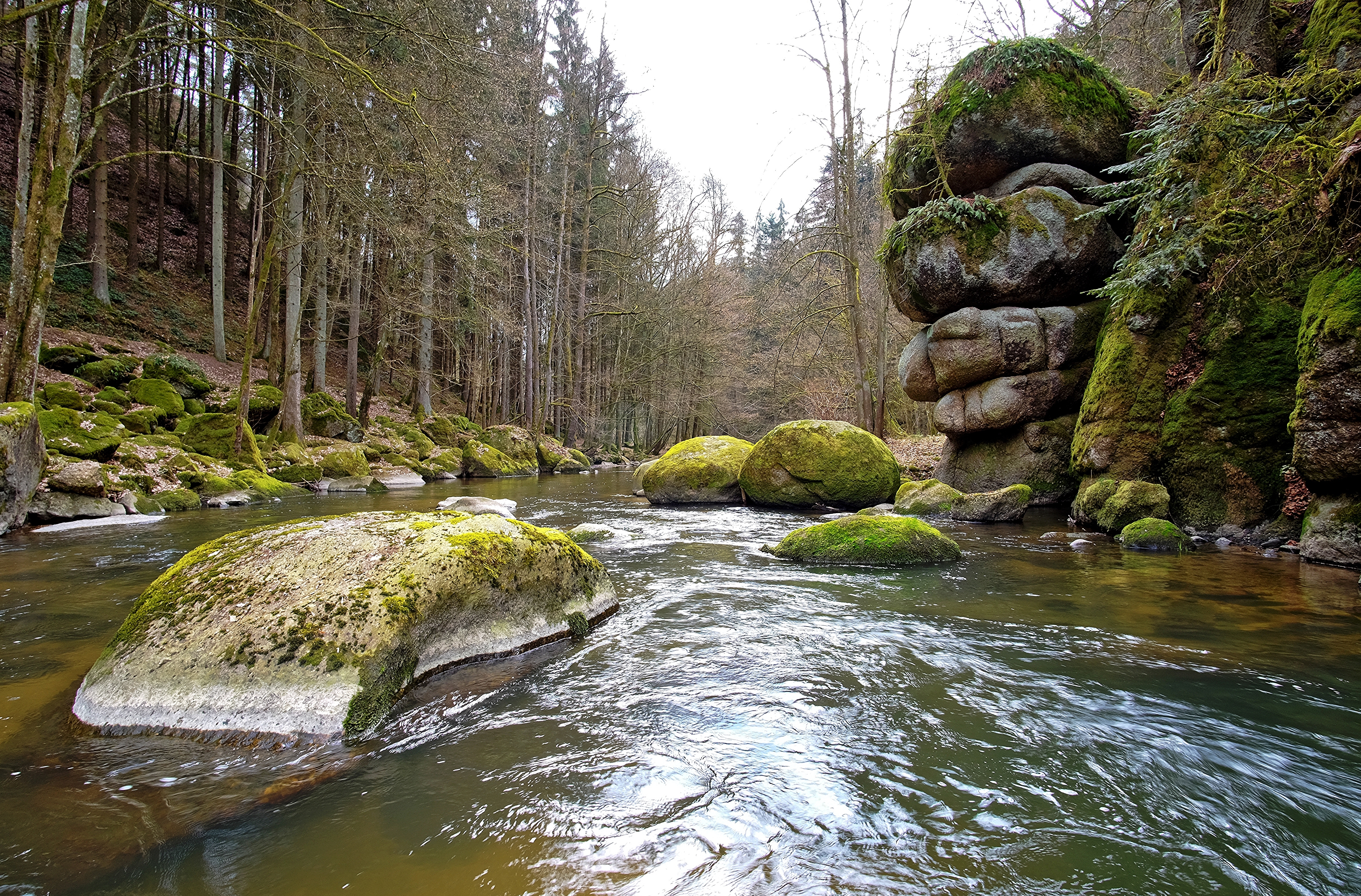
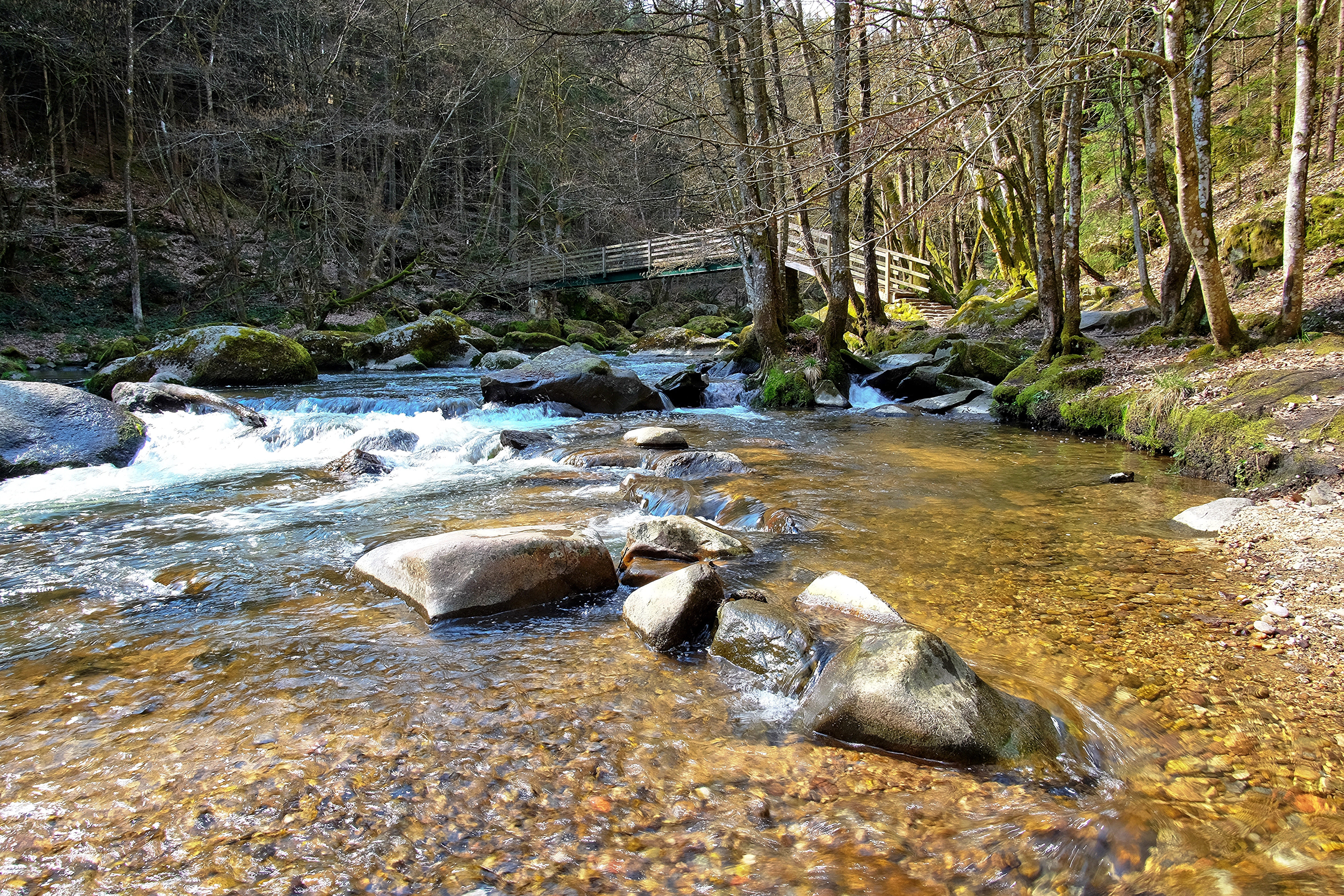
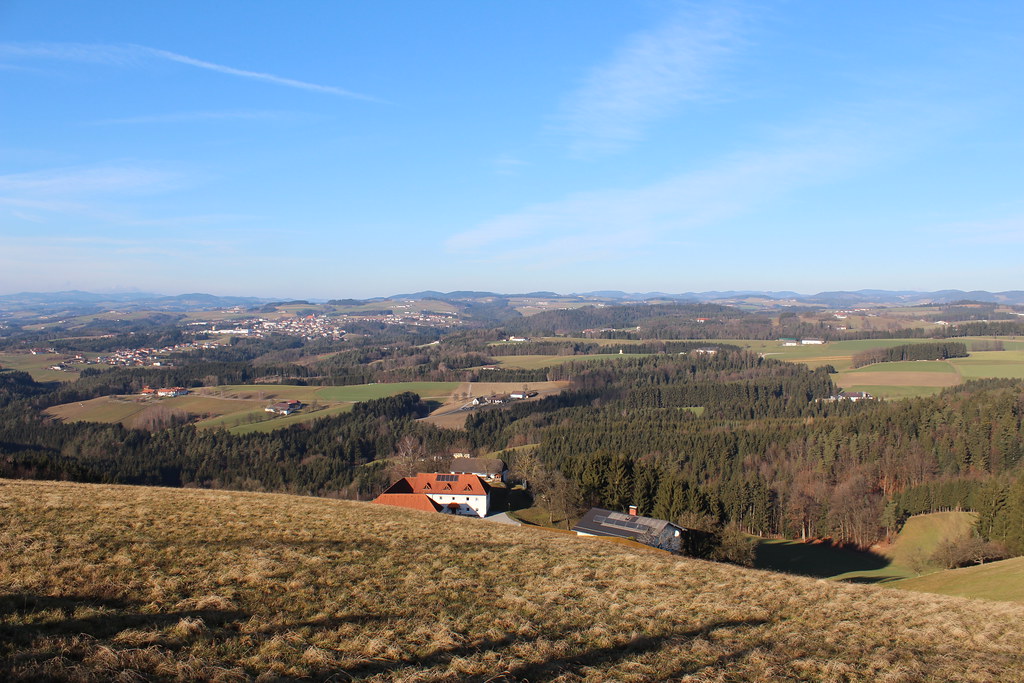
Related Photos:
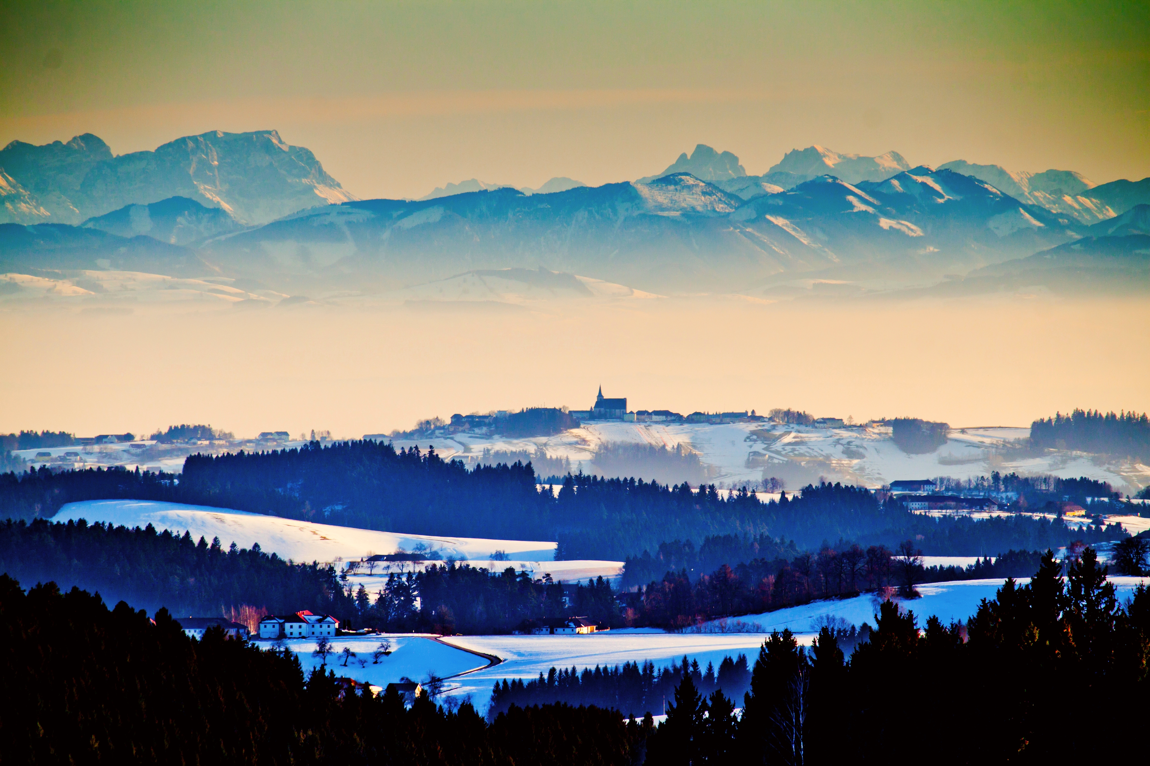
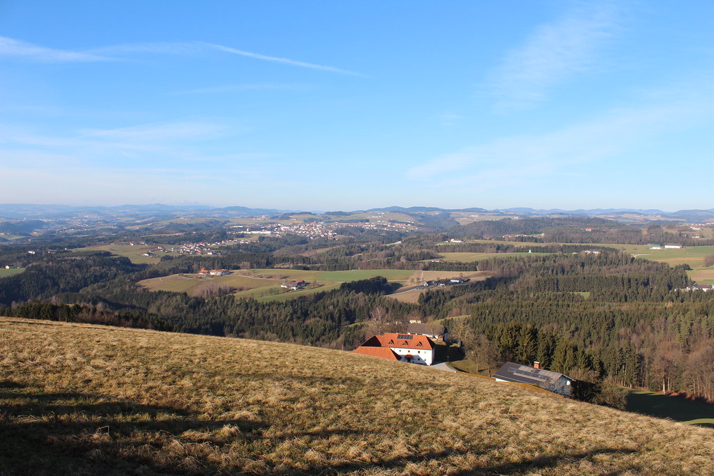
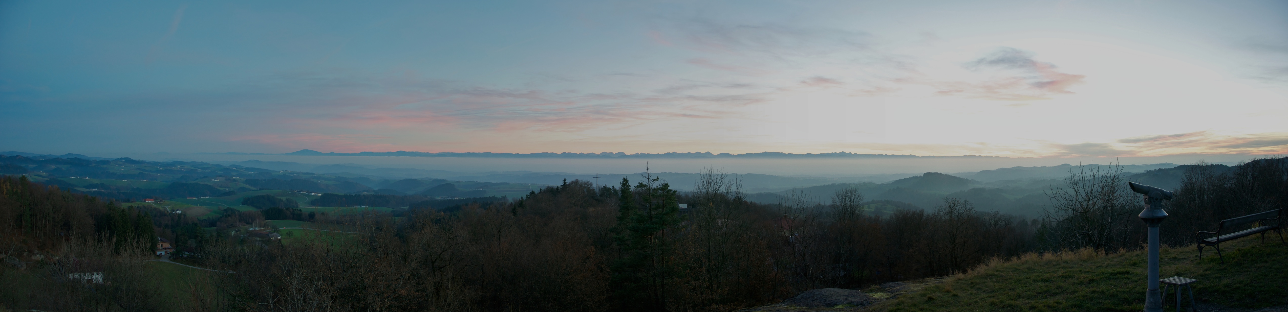
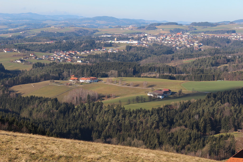
pilgrimage church Allerheiligen and 60 km fog to the alps
French tourists sitting in the door of the church in Kefermarkt after visiting the world famous altar and the coffee can watches them on this Sunday in August 2005 at 15.50 for 20 seconds
img_4938.jpg
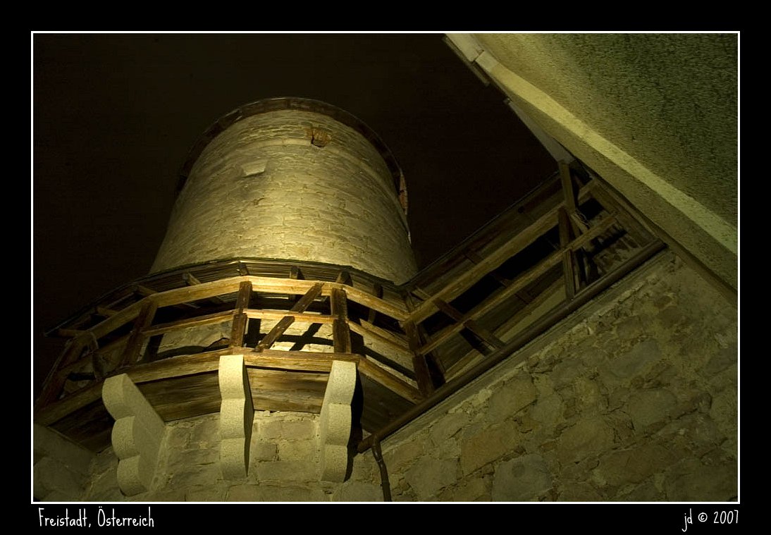
City walls
Freistadt, Hauptplatz
old town
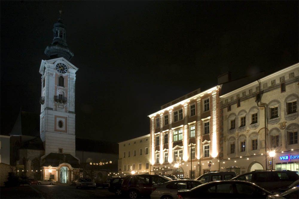
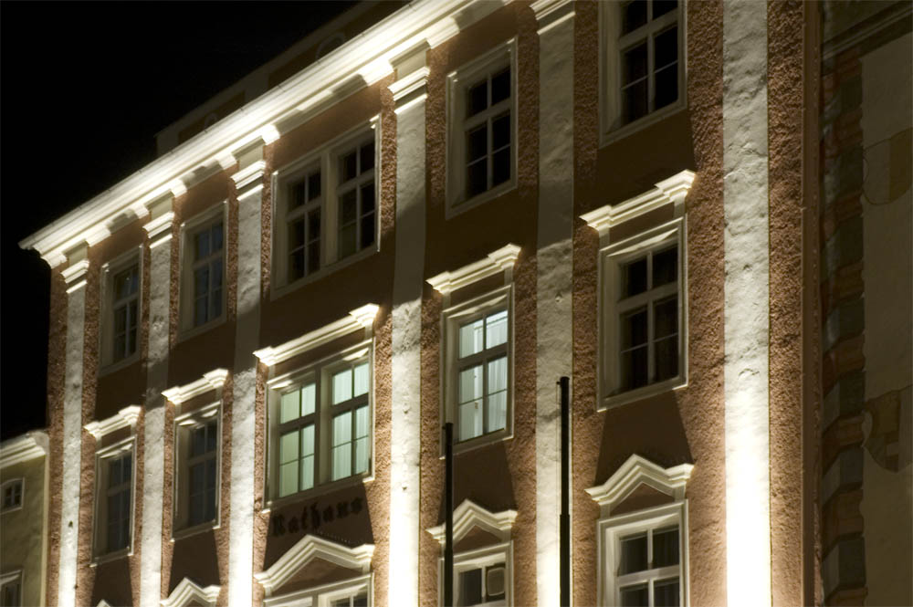
Freistadt, Hauptplatz
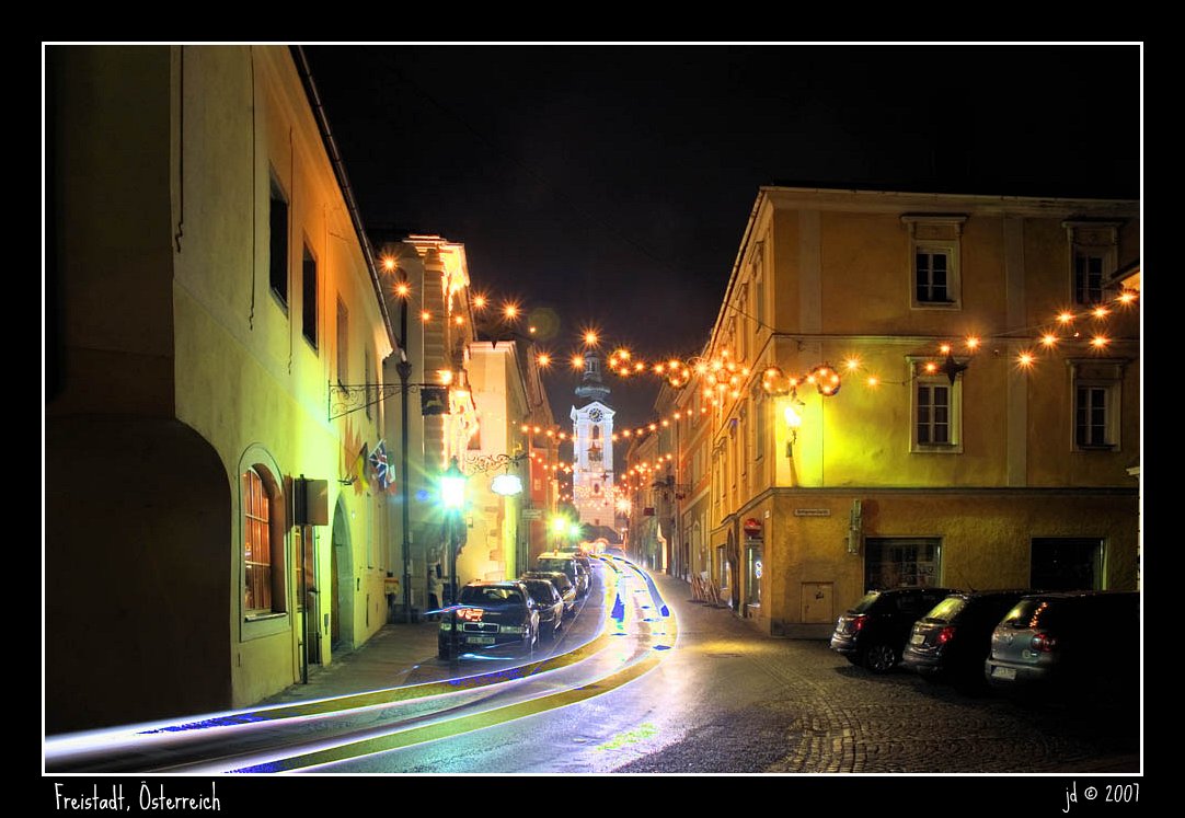
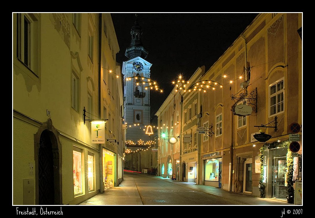
Freistadt, Böhmerstr.
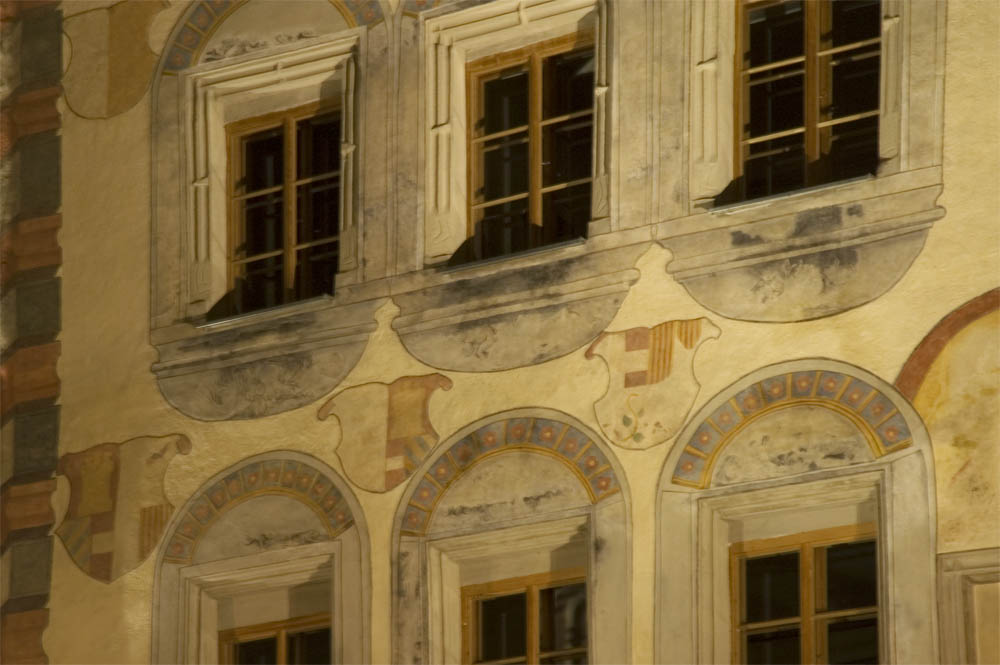
Freistadt, Hauptplatz

Kornfeld - cornfield with cornflower
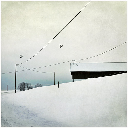
So Far Away
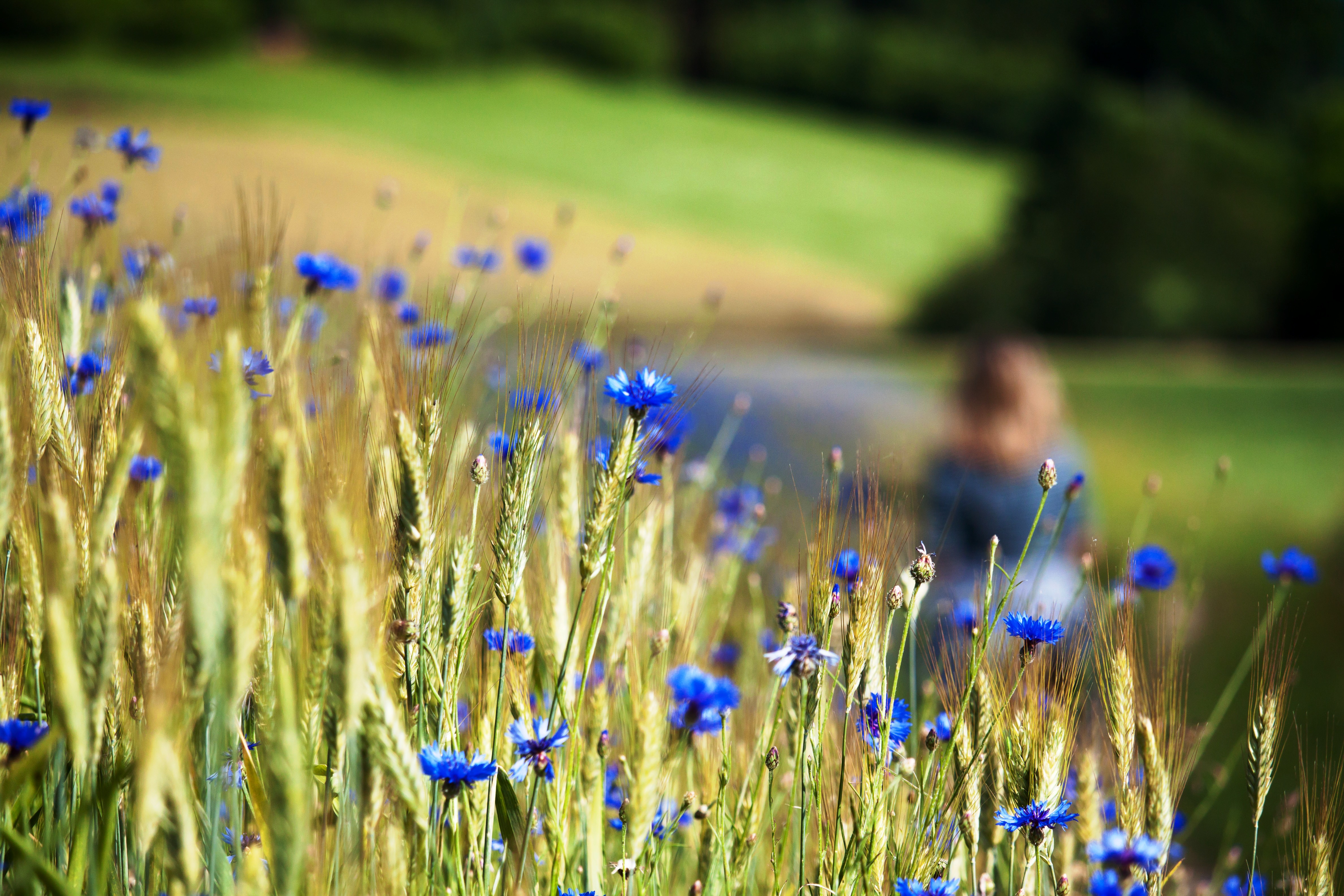
Kornblumen - nähe Braunberg St. Oswald - upper Austria
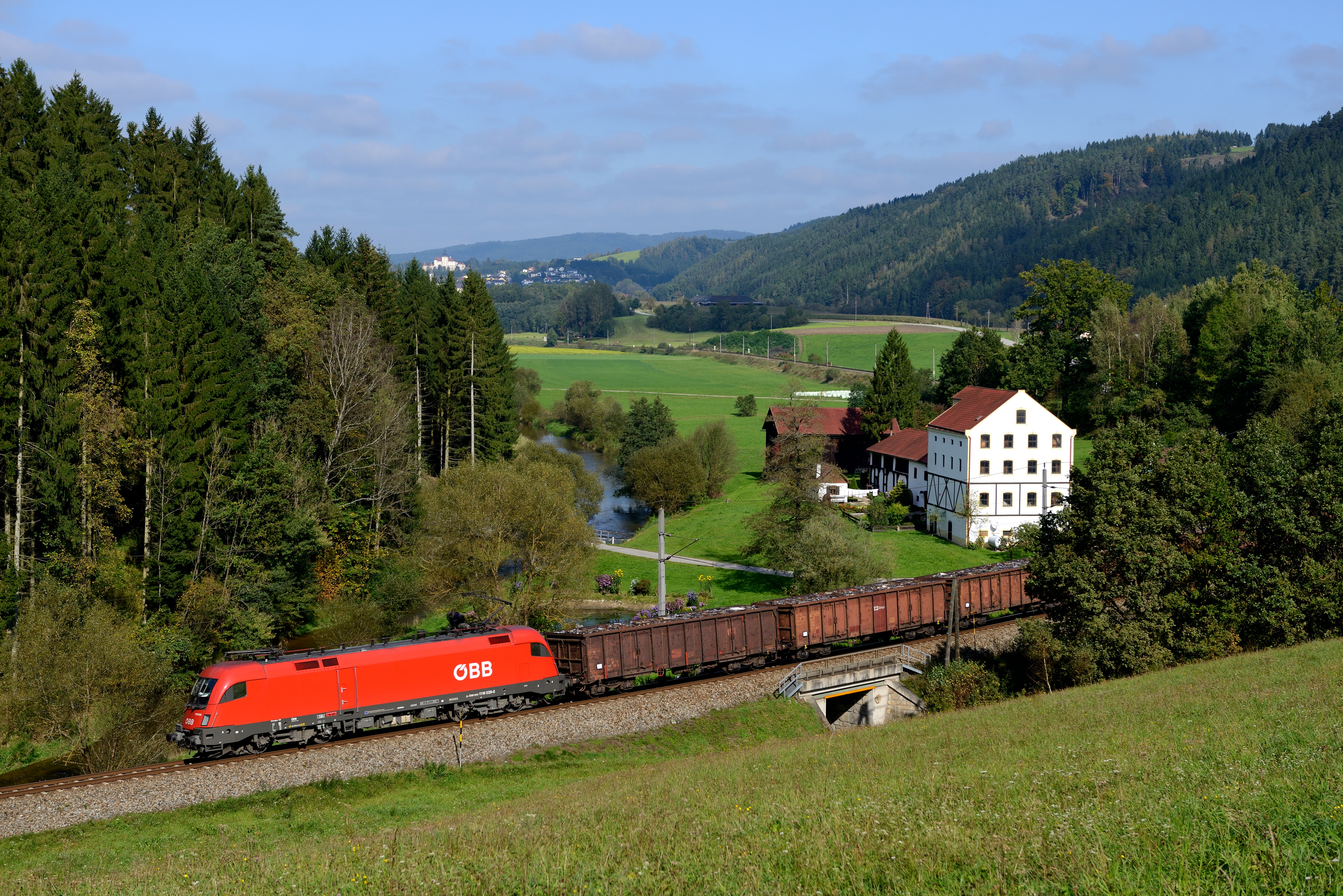
ÖBB 1116.029 Wittinghof (2774)
Hey, is this my old friend Homer Simpson?
One of my favorite places to relax

Ruin in Moonlight

Kalvarienberg mit Mahnmal - Memorial

Wenzelskirche - Wartberg - upper Austria
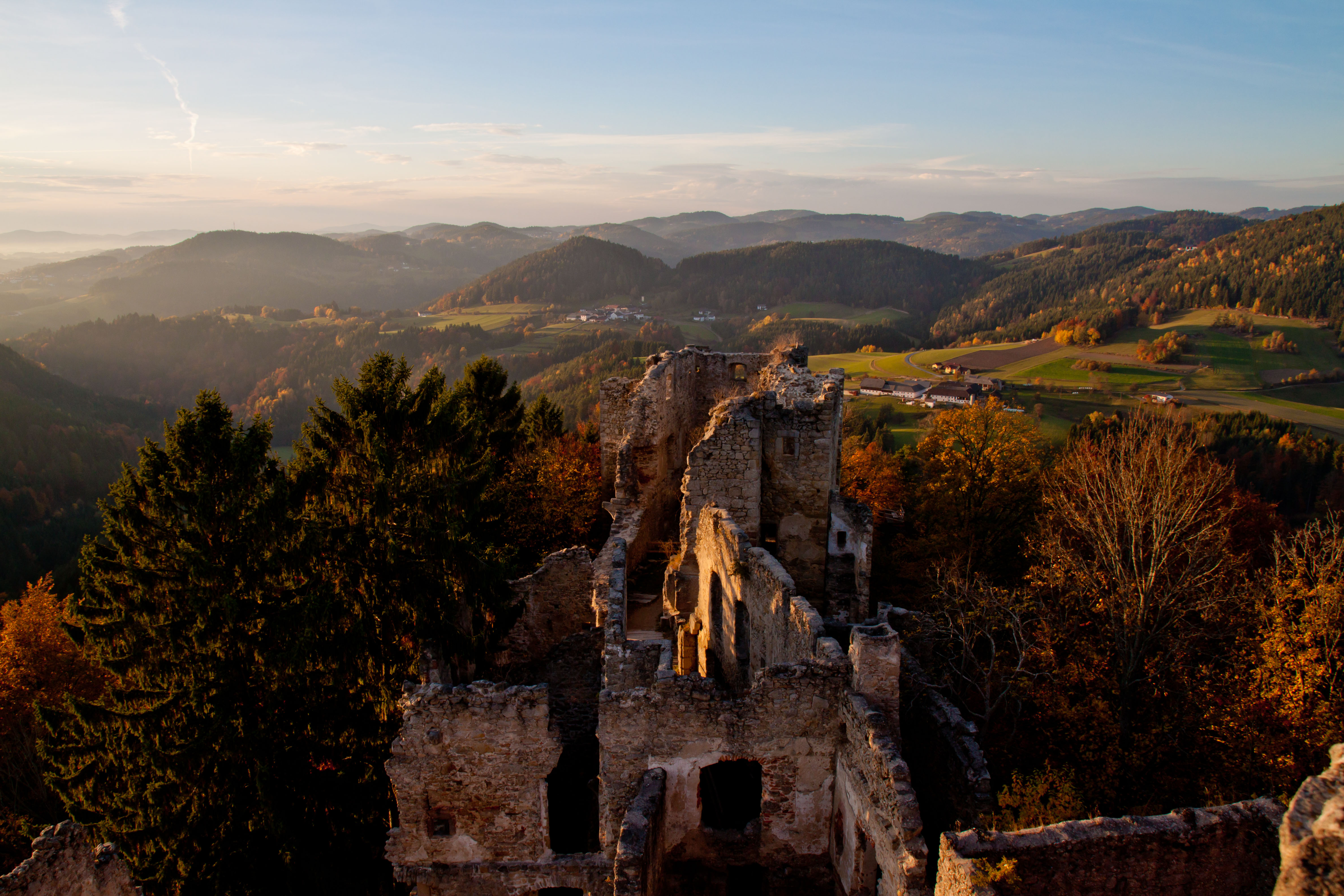
Prandegg - Ruin in upper Austria - 13. century
Allerheiligen - Upper Austria

Mühlviertel-Prandegg

Panorama Perg Mühlviertel
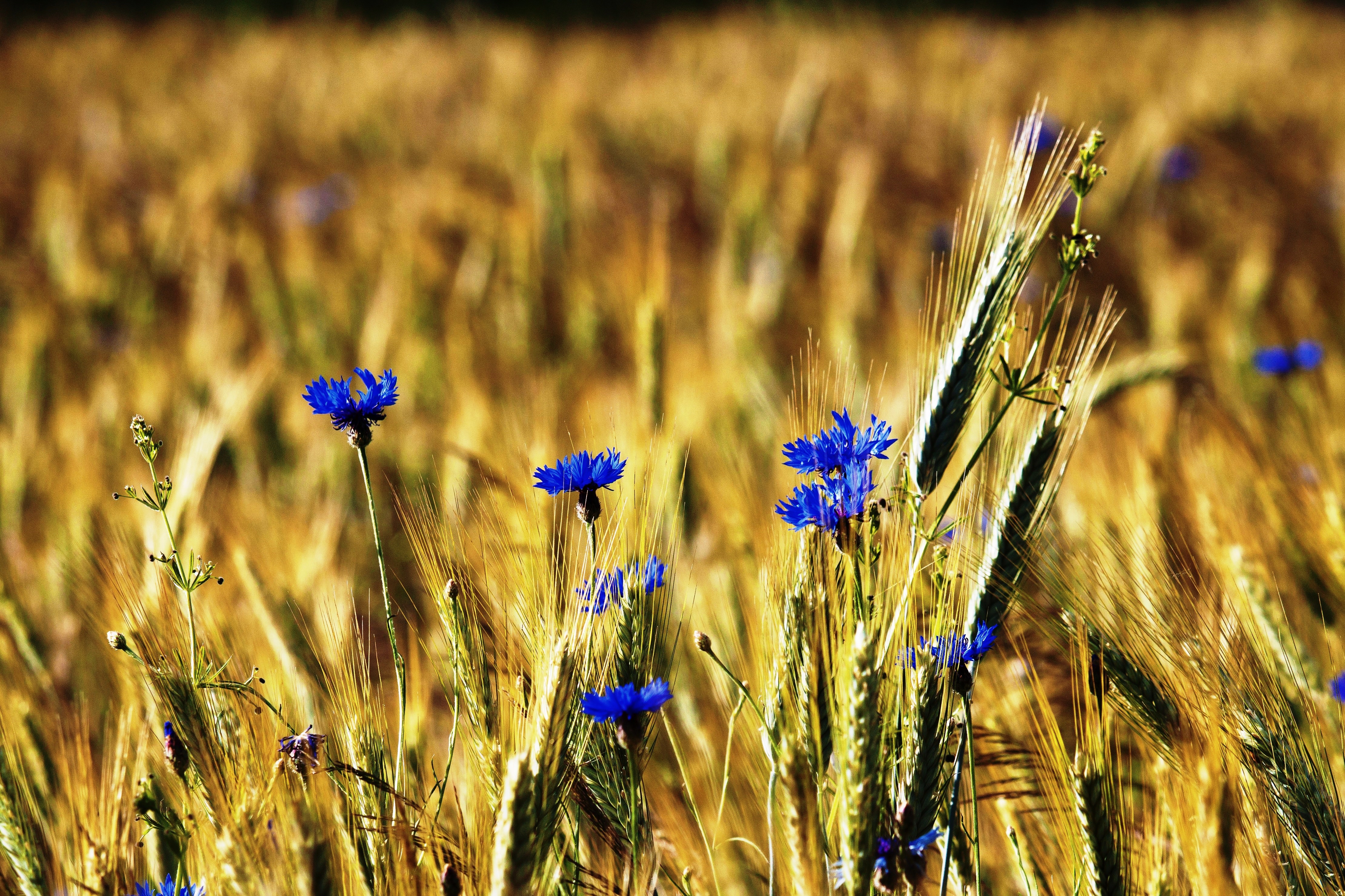
Kornblumen - nähe Braunberg St. Oswald - upper Austria
Allerheiligen - Upper Austria
Ins Land eini schaugn...
Allerheiligen - Upper Austria
Landscape 22/52

DSC08211.jpg
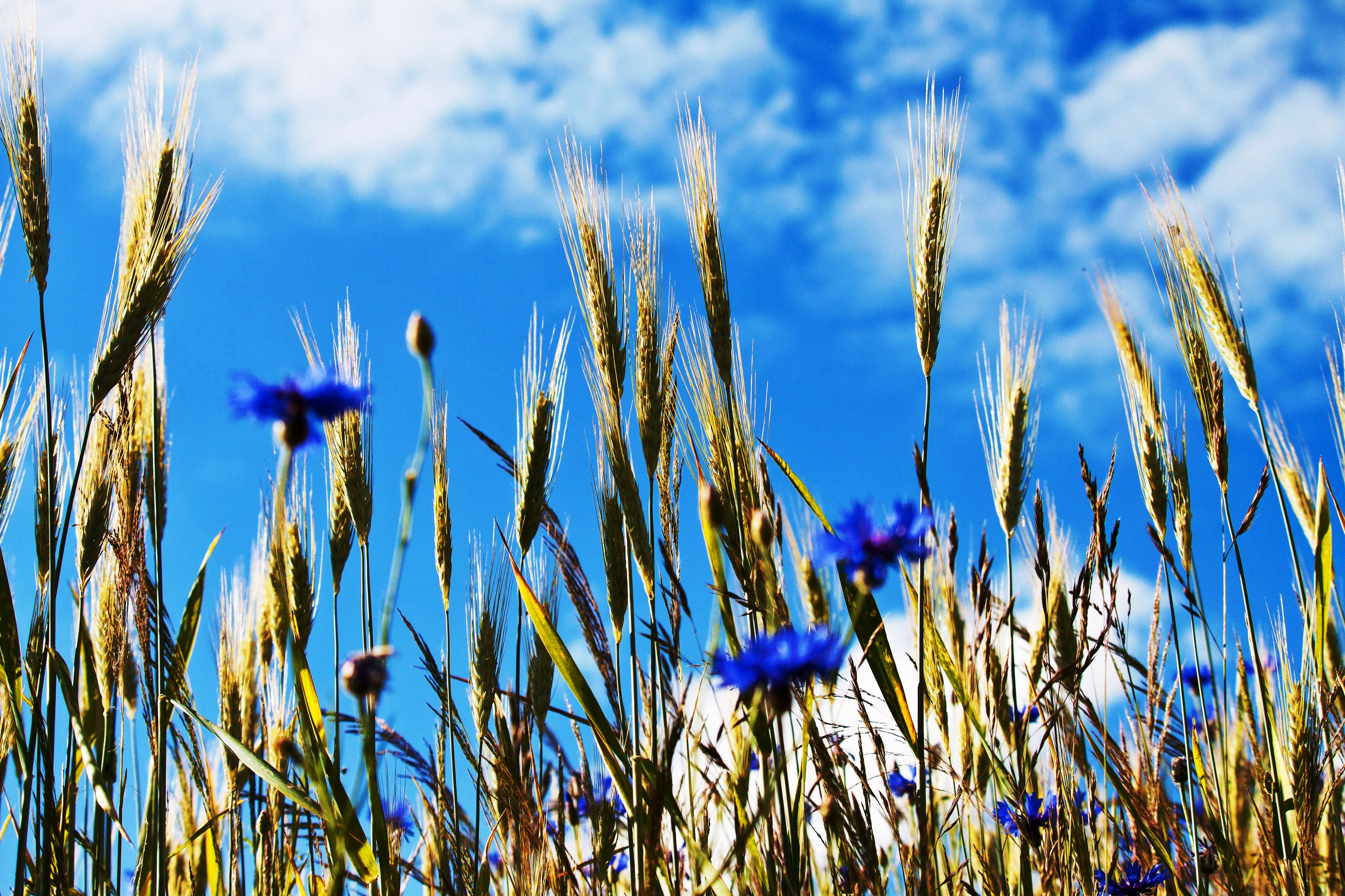
Kornblumen - nähe Braunberg St. Oswald - upper Austria
Topographic Map of Gemeinde Gutau, Austria
Find elevation by address:

Places in Gemeinde Gutau, Austria:
Places near Gemeinde Gutau, Austria:
Gutau
Gartenstraße 1, Gutau, Austria
Lehen 86, Lehen, Austria
Oberreitern 3, Oberreitern, Austria
Sankt Oswald Bei Freistadt
Wippl 5, Wippl, Austria
Pregarten
Straßreit
Straßreit 2, Straßreit, Austria
Wartberg Ob Der Aist
Schloß Haus 1, Schloss Haus, Austria
Weitersfelden
Loibersdorf 9, Loibersdorf, Austria
Freistadt District
Freistadt
Hinterhütten 1, Hinterhütten, Austria
Güterweg Schwandtendorf 1, Schwandtendorf, Austria
Schwandtendorf
Markersreith
Markersreith 2, Markersreith, Austria
Recent Searches:
- Elevation of Elwyn Dr, Roanoke Rapids, NC, USA
- Elevation of Congressional Dr, Stevensville, MD, USA
- Elevation of Bellview Rd, McLean, VA, USA
- Elevation of Stage Island Rd, Chatham, MA, USA
- Elevation of Shibuya Scramble Crossing, 21 Udagawacho, Shibuya City, Tokyo -, Japan
- Elevation of Jadagoniai, Kaunas District Municipality, Lithuania
- Elevation of Pagonija rock, Kranto 7-oji g. 8"N, Kaunas, Lithuania
- Elevation of Co Rd 87, Jamestown, CO, USA
- Elevation of Tenjo, Cundinamarca, Colombia
- Elevation of Côte-des-Neiges, Montreal, QC H4A 3J6, Canada