Elevation of Gayhead-Earlton Rd, Earlton, NY, USA
Location: United States > New York > Greene County > Coxsackie >
Longitude: -73.94771
Latitude: 42.356429
Elevation: 207m / 679feet
Barometric Pressure: 99KPa
Elevation Map:
Satellite Map:
Related Photos:
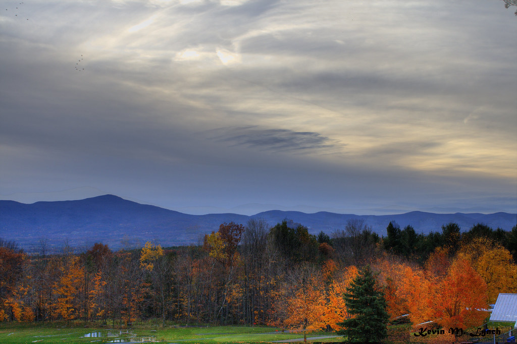
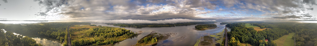
View before dinner.

Buttermilk Falls - Lower
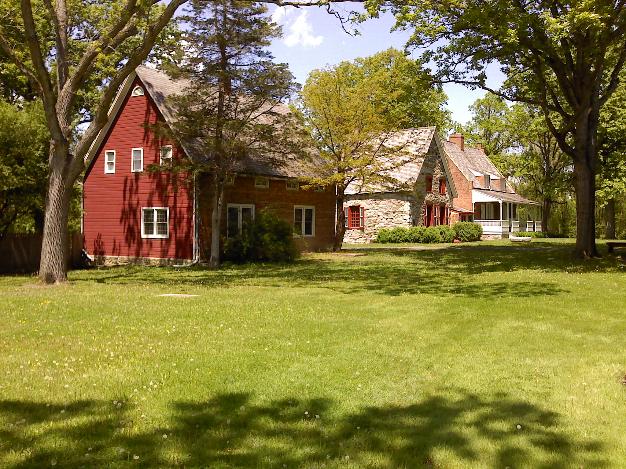
Bronck Property

Scenic View
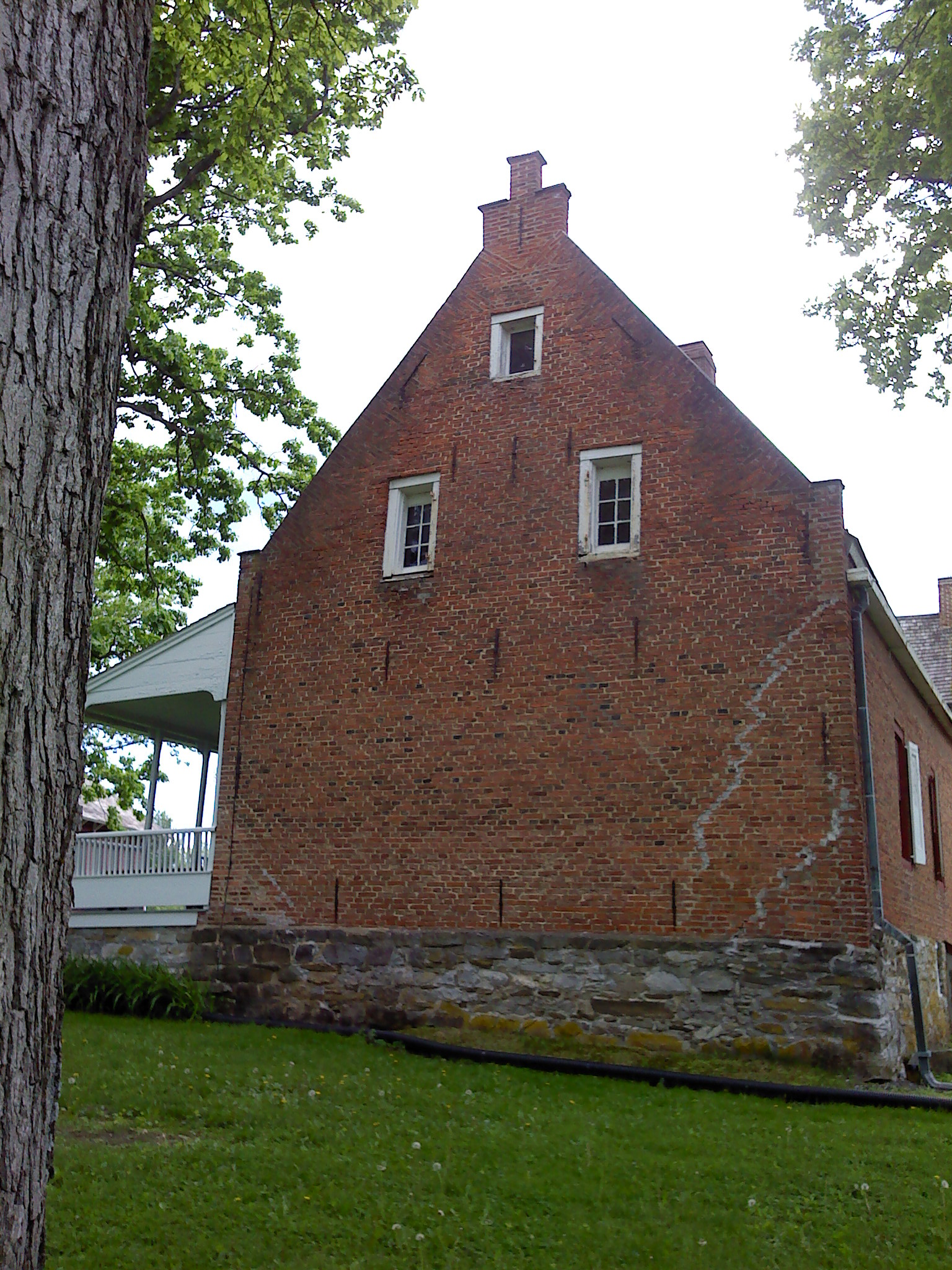
1728 Brick House
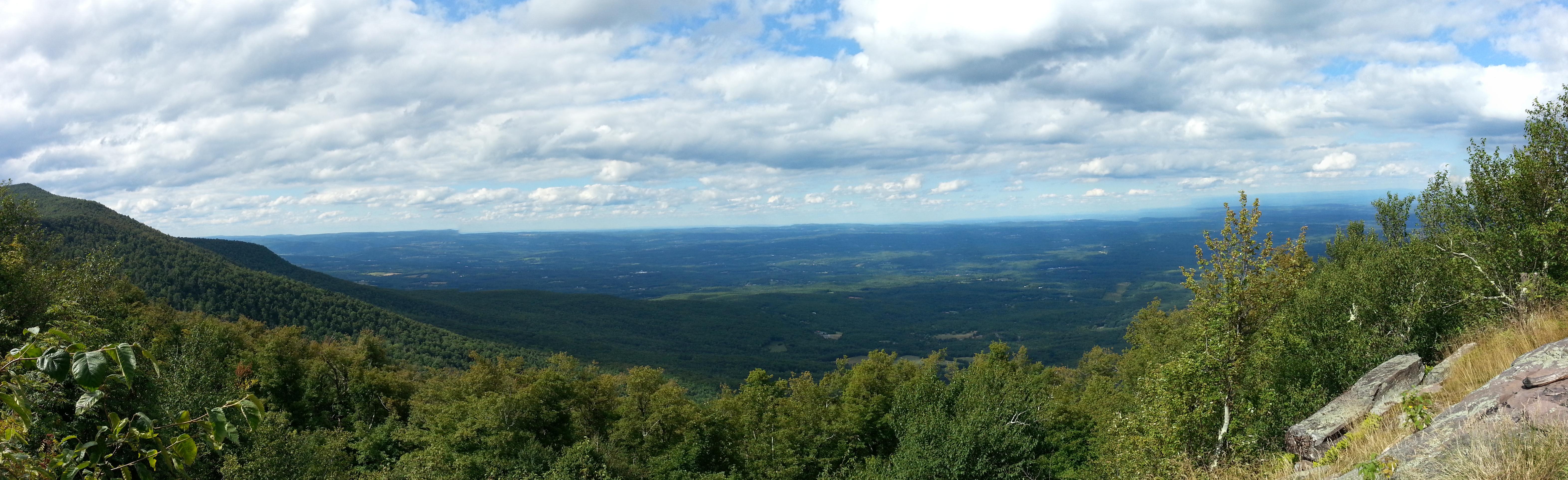
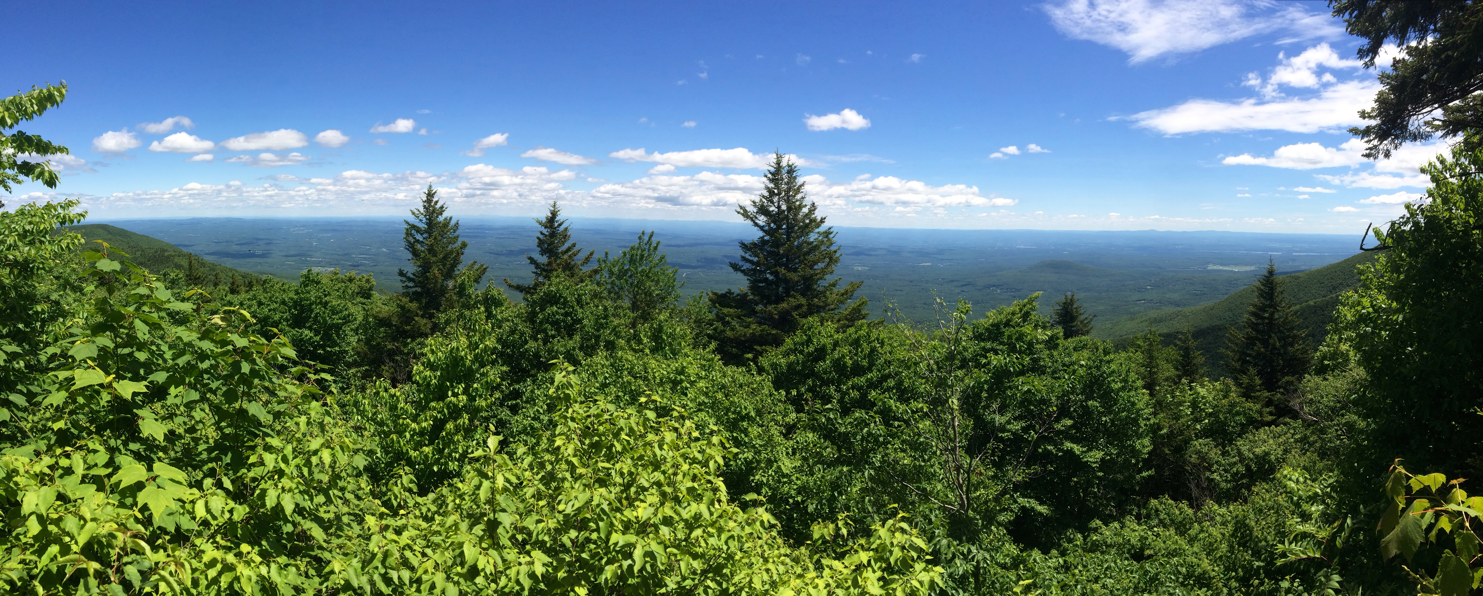
View north from Burnt Knob
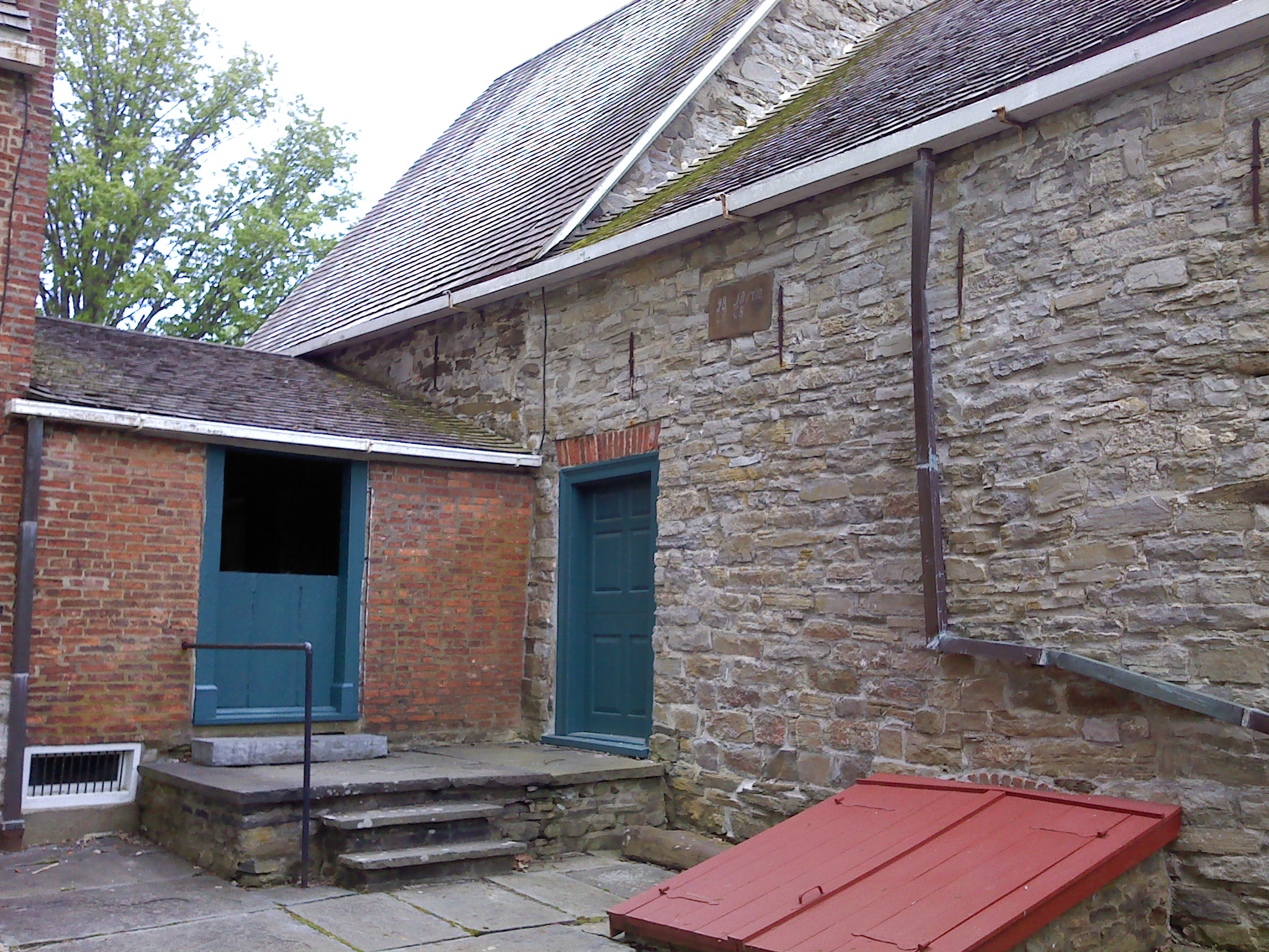
Back Courtyard

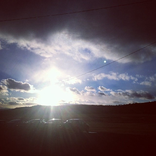
Rapidly Setting Sun

Spring is finally here

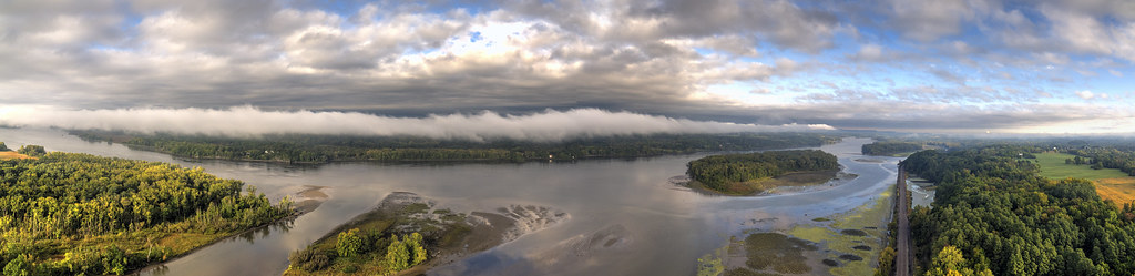
View north from Burnt Knob
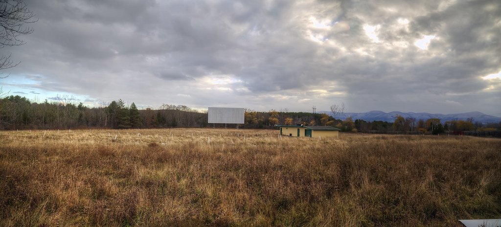
Screen with a View
The View from Sandy Plains
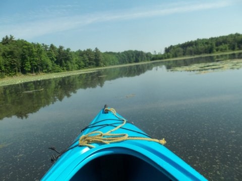
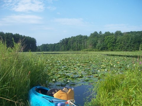
kayak view
View from my hotel room
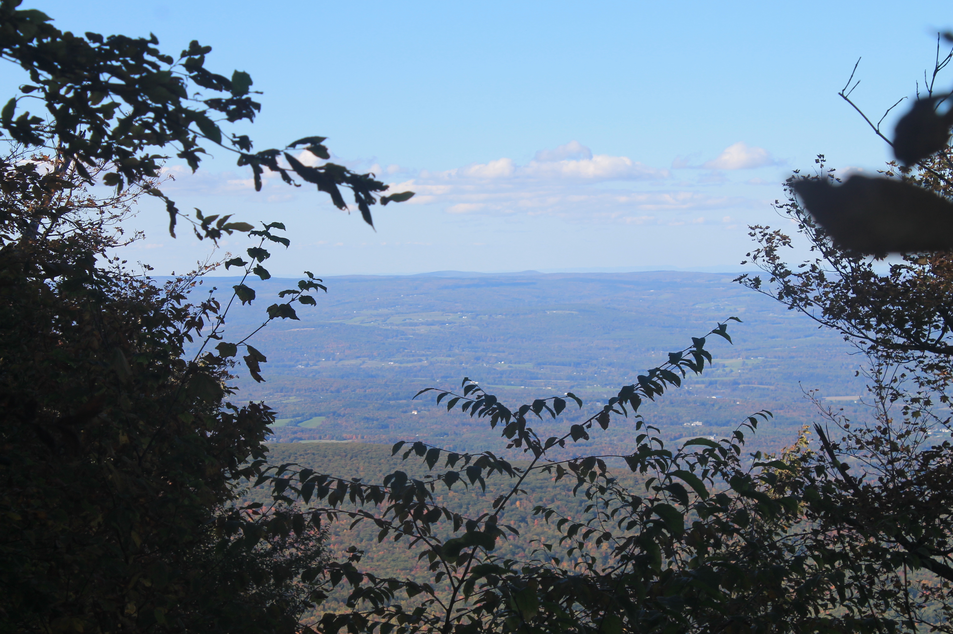
Views of Renslearville in Distance from Acra Point
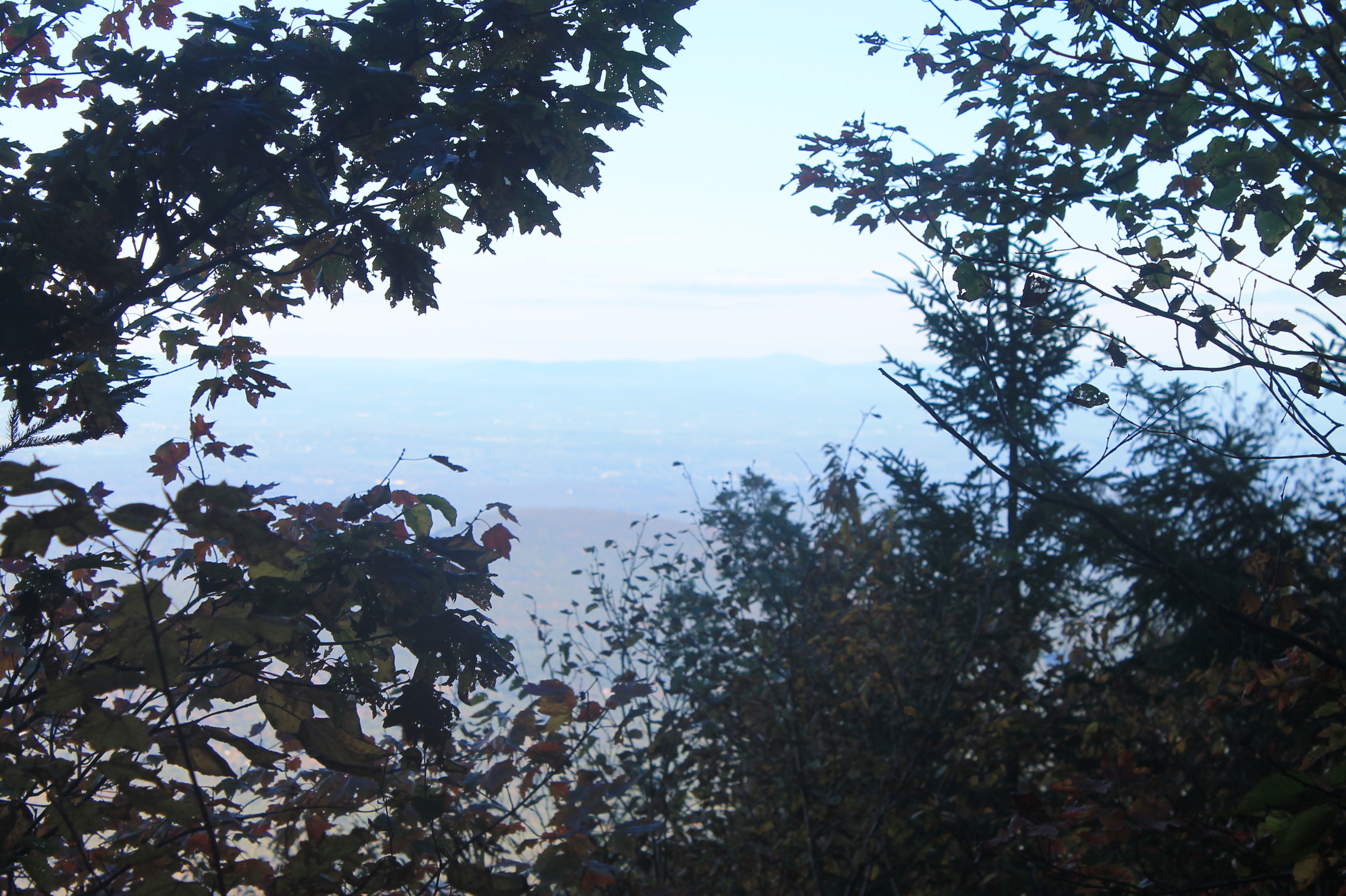
Limited Views of Roundtop
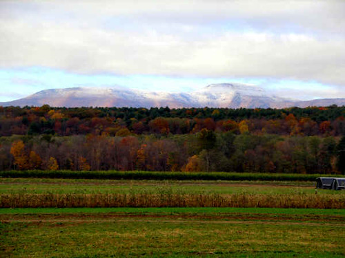
Valley View
Valley View
Valley View
1st View
kayak view

A precursor of Falls to come...

From one to the next
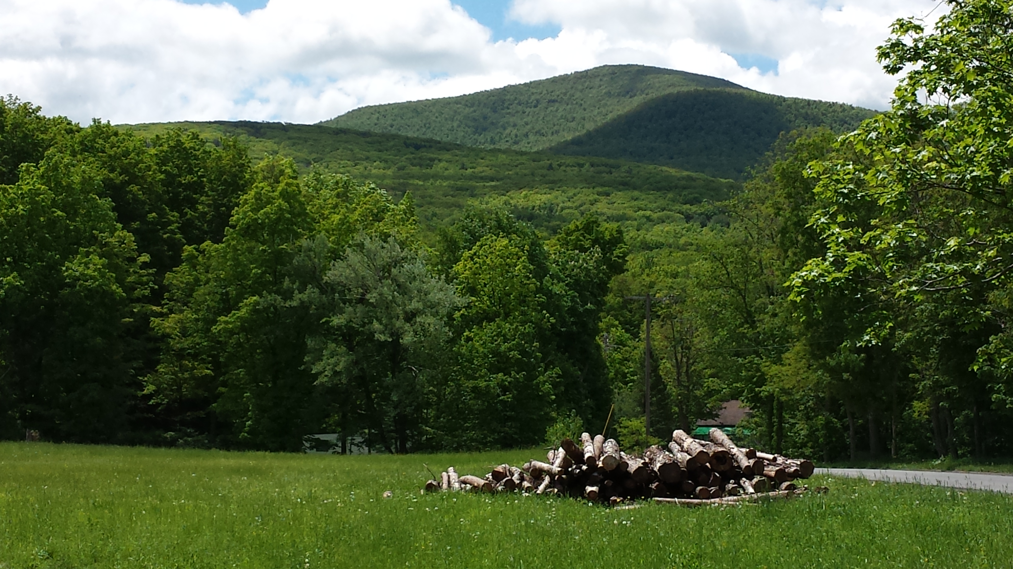
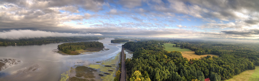
Catskill Mountains, NY

©JZD-15

Summer Nights
Creek on trail of Black Dome

In the Catskills

Buttermilk Falls - Upper
In the Catskills

Yesterday's hike #latergram
perfectly serene

South bound we go. The wind was crazy tonight. Shelley was scared and pacing around the room. #NYC #February #2016

Highway Rainbow
Topographic Map of Gayhead-Earlton Rd, Earlton, NY, USA
Find elevation by address:

Places near Gayhead-Earlton Rd, Earlton, NY, USA:
Earlton, NY, USA
Novack Road
High Hill Road
88 Grove St
Main St, Cairo, NY, USA
Cairo
41 Pine St
Coxsackie
Cairo
New York 32
2 Vernal Butler Rd
Mountain Ave, Purling, NY, USA
14 Gioia Dr
102 Vernal Butler Rd
Vernal Butler Road
Brookside Drive
16 Minnerly Rd
403 Valley Rd
Cuti Drive
381 Mountain Ave
Recent Searches:
- Elevation of Kambingan Sa Pansol Atbp., Purok 7 Pansol, Candaba, Pampanga, Philippines
- Elevation of Pinewood Dr, New Bern, NC, USA
- Elevation of Mountain View, CA, USA
- Elevation of Foligno, Province of Perugia, Italy
- Elevation of Blauwestad, Netherlands
- Elevation of Bella Terra Blvd, Estero, FL, USA
- Elevation of Estates Loop, Priest River, ID, USA
- Elevation of Woodland Oak Pl, Thousand Oaks, CA, USA
- Elevation of Brownsdale Rd, Renfrew, PA, USA
- Elevation of Corcoran Ln, Suffolk, VA, USA