Elevation of Garfield St, Lebanon, IN, USA
Location: United States > Indiana > Boone County > Center Township > Lebanon >
Longitude: -86.477677
Latitude: 40.0616889
Elevation: 283m / 928feet
Barometric Pressure: 98KPa
Elevation Map:
Satellite Map:
Related Photos:
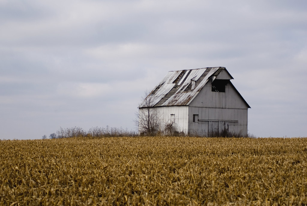
Winter Farm House (fb crop)

Winter Farm House
Alleyside View
Window Without A View

Lego Ford Shelby Mustang
Flags on the 4th-1
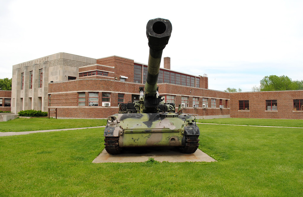
M110A2 SN BMY005 in Lebanon
In The Distance

...And Then There Were Three.

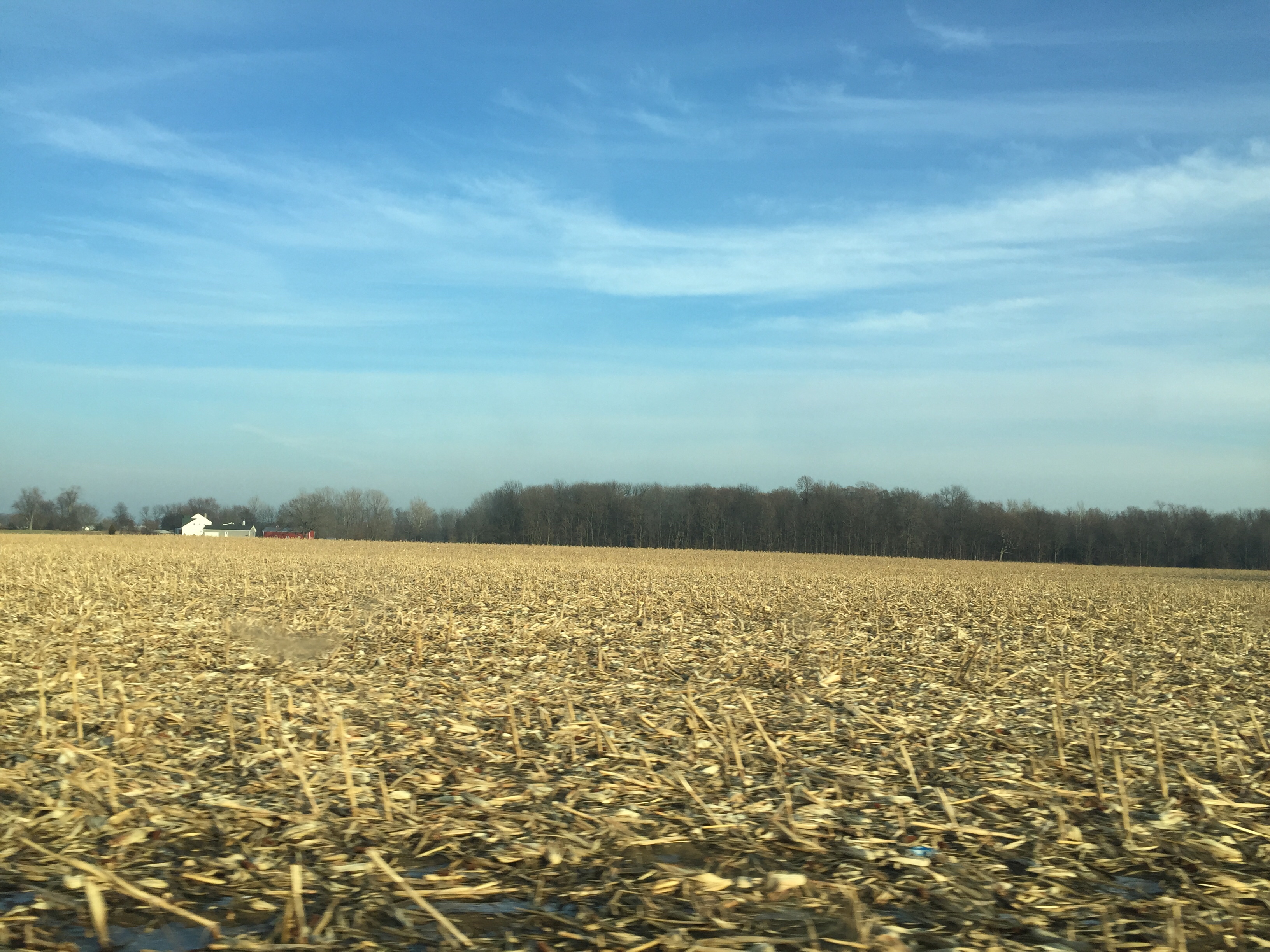
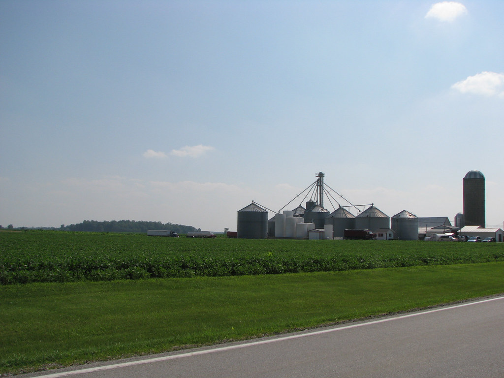
Field Corn
Front Entry Exterior
Pumpkin Run Day at Dull's Farm.
IMG_2077.JPG (2)
This is the day the Lord hath made, so #SmileUp, ppl!!
20101003 IN between Purdue and airport140614534.jpg
Country Bridge
Towards Whitestown...

Helllooooo, Friday! #takemeaway!!
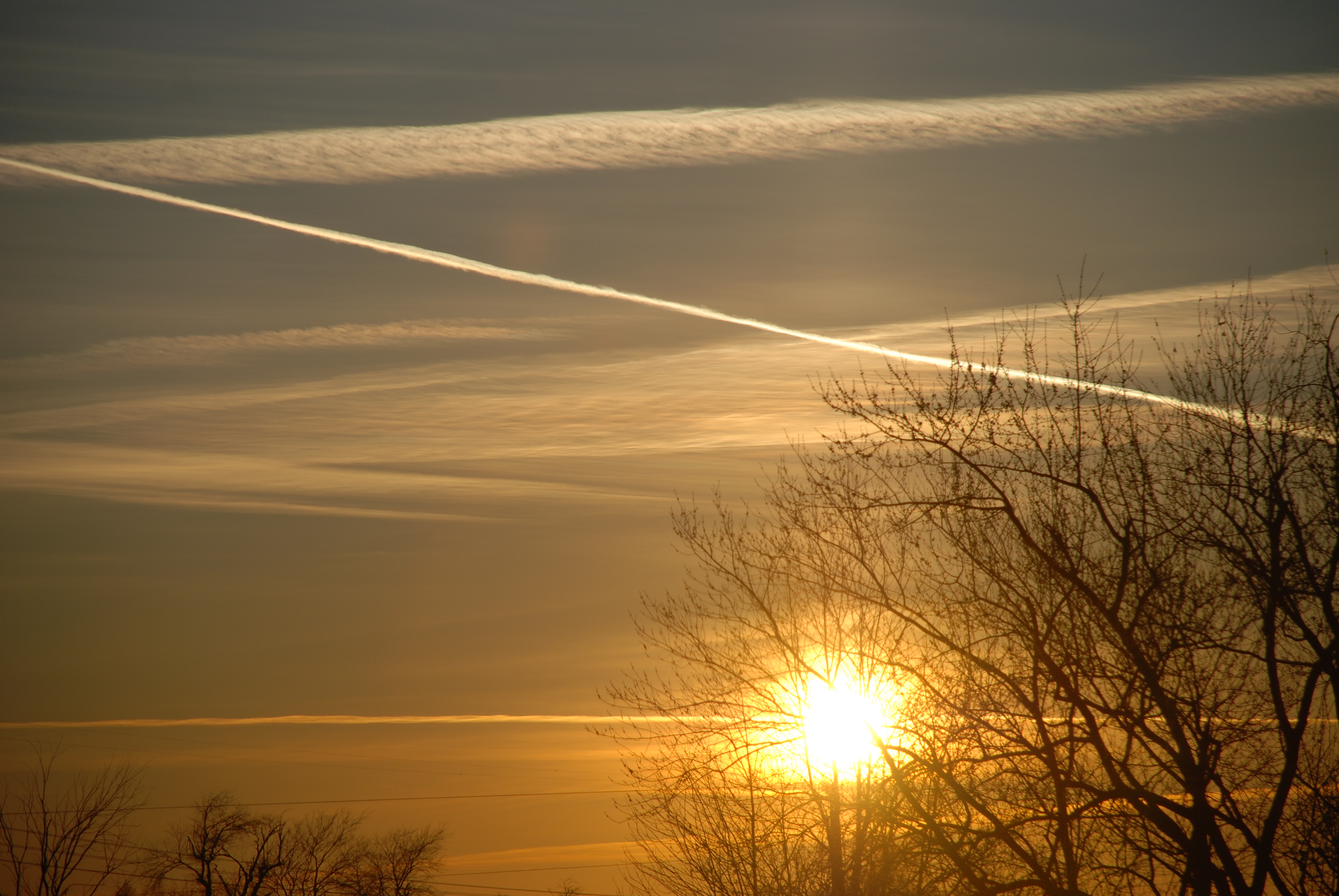
sunset over Indiana
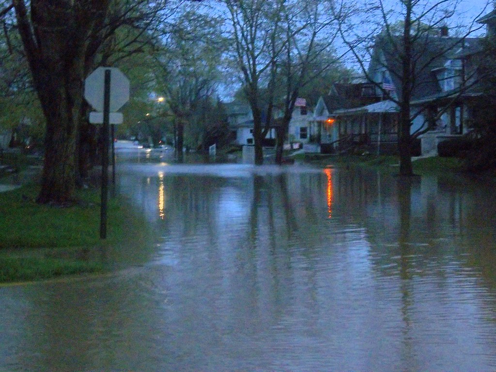
Prairie Creek Flood 2013
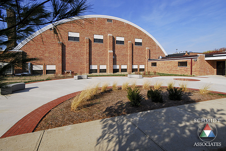
Exterior Courtyard and Landscape
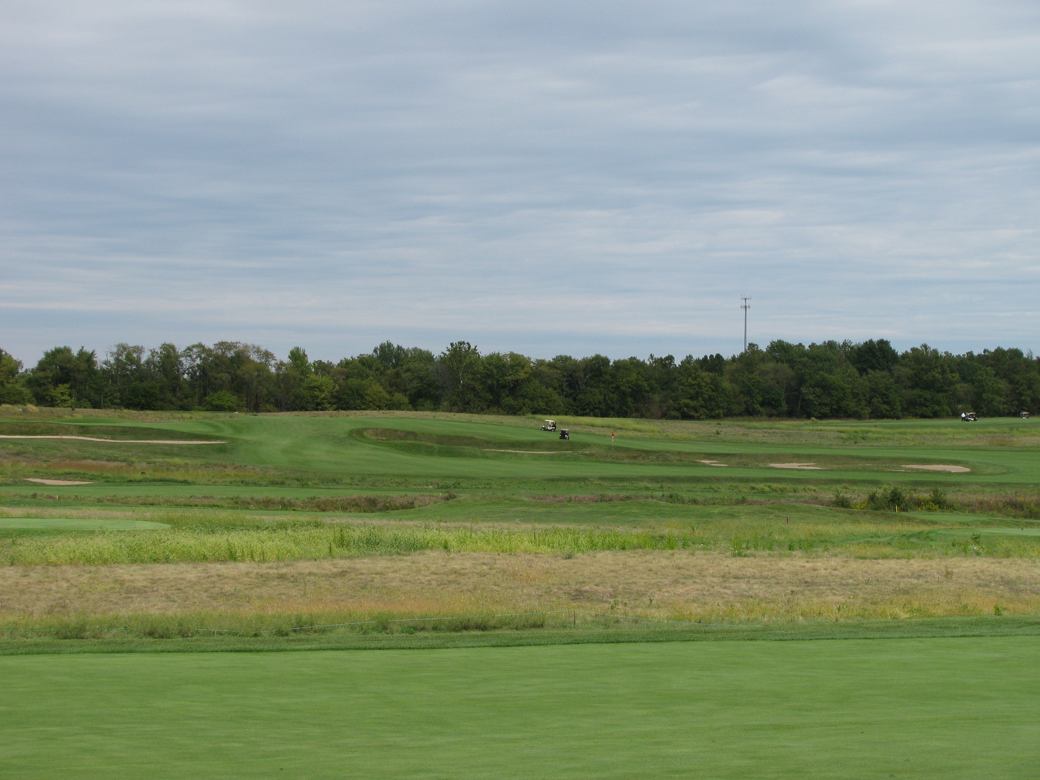
What a great day for golf.

20130921-Flag Football-Florida vs Ball State
Traffic jam in the country
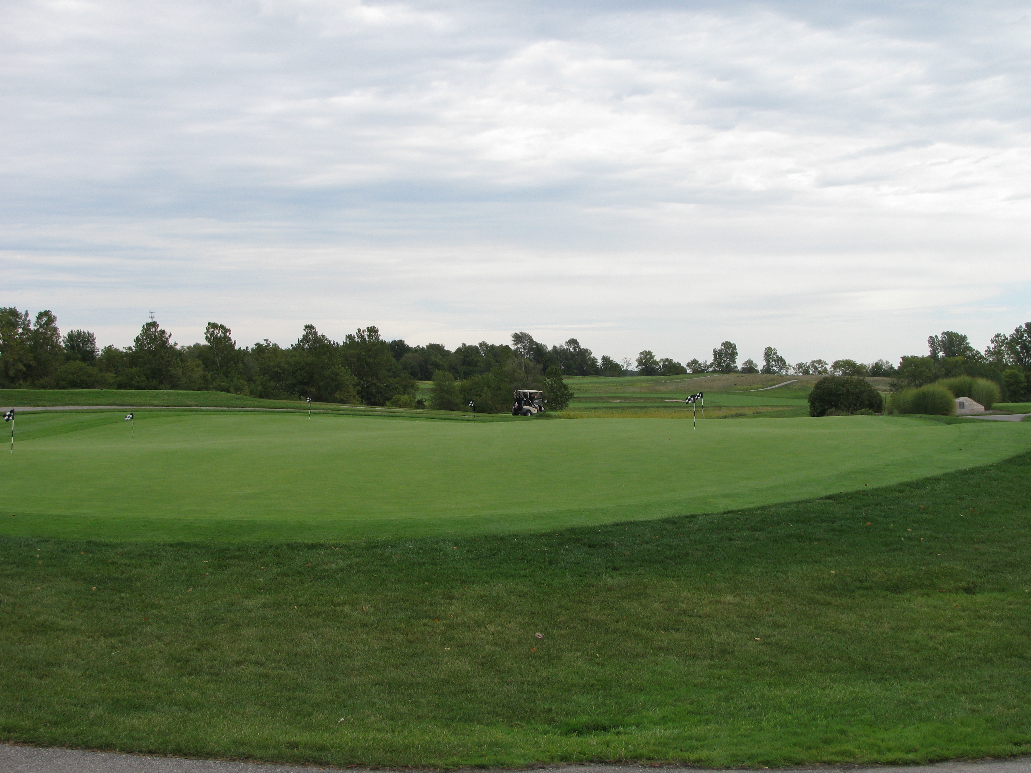
Golfers leave the practice green to compete
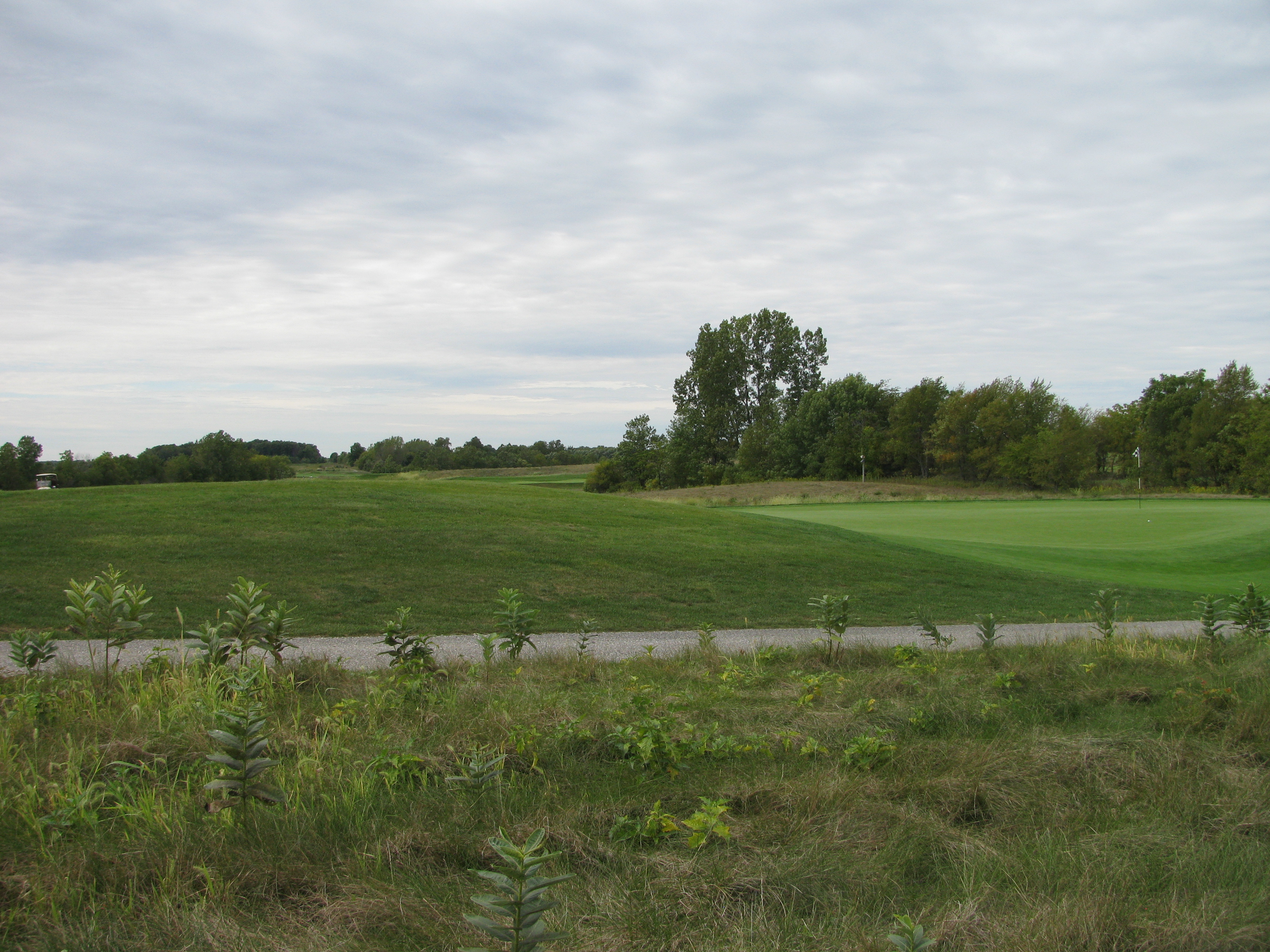
The terrain of The Trophy Club
201209-ParkerSoccer-005

201209-ParkerSoccer-003
Topographic Map of Garfield St, Lebanon, IN, USA
Find elevation by address:

Places near Garfield St, Lebanon, IN, USA:
Lebanon
Elizaville Rd, Lebanon, IN, USA
402 N Park St
Center Township
S, Lebanon, IN, USA
3468 Firethorn Drive
4 N Main St, Whitestown, IN, USA
Whitestown
N Michigan Rd, Zionsville, IN, USA
266 S Michigan Rd
US-, Zionsville, IN, USA
Union Township
W Russell Lake Dr, Zionsville, IN, USA
Zionsville, IN, USA
802 S 1100 E
Eagle Township
900 W Pine St
900 W Pine St
S Meadow Ln, Zionsville, IN, USA
Zionsville
Recent Searches:
- Elevation of Elwyn Dr, Roanoke Rapids, NC, USA
- Elevation of Congressional Dr, Stevensville, MD, USA
- Elevation of Bellview Rd, McLean, VA, USA
- Elevation of Stage Island Rd, Chatham, MA, USA
- Elevation of Shibuya Scramble Crossing, 21 Udagawacho, Shibuya City, Tokyo -, Japan
- Elevation of Jadagoniai, Kaunas District Municipality, Lithuania
- Elevation of Pagonija rock, Kranto 7-oji g. 8"N, Kaunas, Lithuania
- Elevation of Co Rd 87, Jamestown, CO, USA
- Elevation of Tenjo, Cundinamarca, Colombia
- Elevation of Côte-des-Neiges, Montreal, QC H4A 3J6, Canada