Elevation of Garden Hill, ON L0A 1B0, Canada
Location: Canada > Ontario > Northumberland County > Port Hope >
Longitude: -78.403786
Latitude: 44.057045
Elevation: 176m / 577feet
Barometric Pressure: 99KPa
Elevation Map:
Satellite Map:
Related Photos:
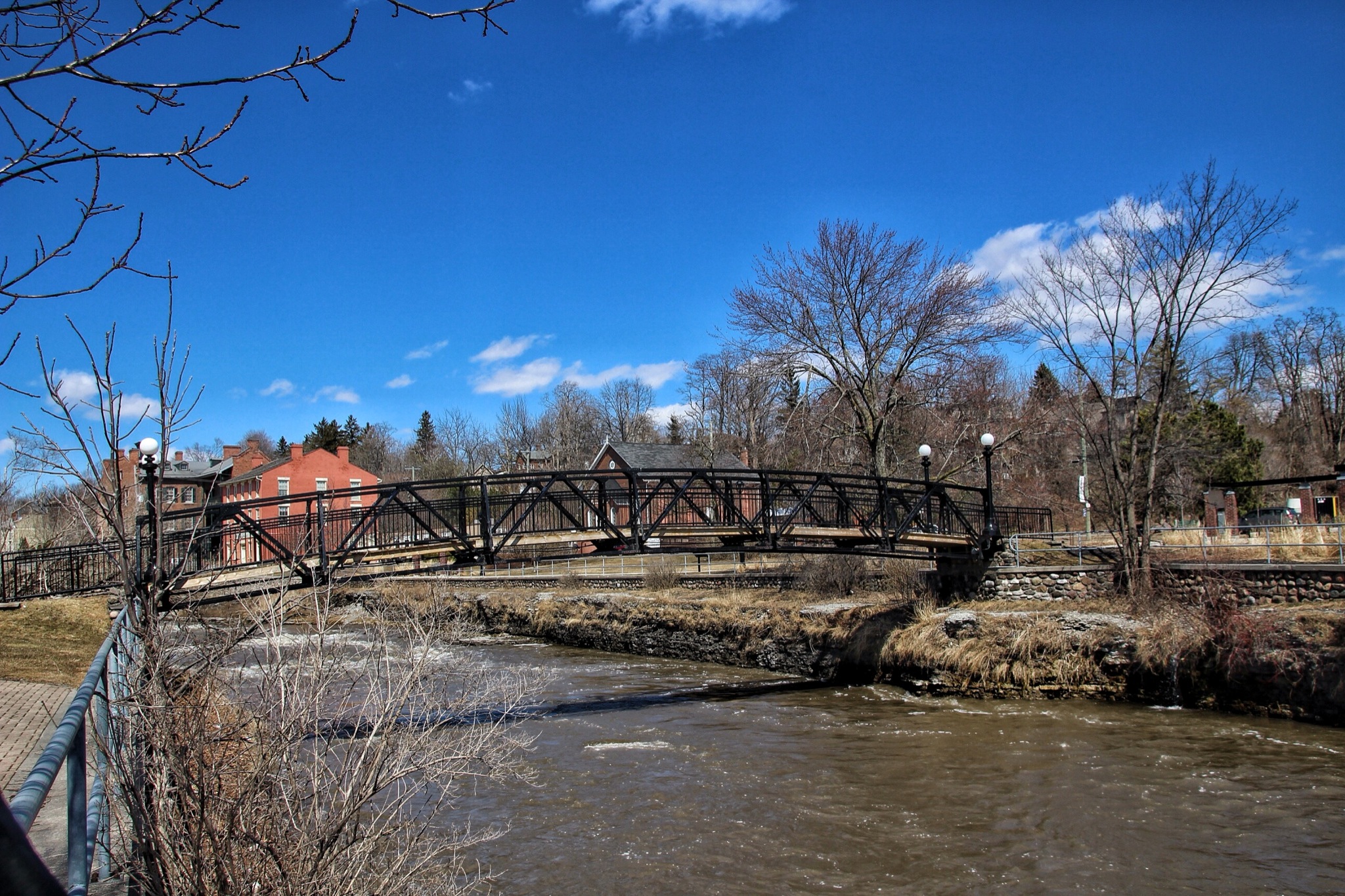
Port Hope Ontario ~ Canada ~ Rotary Foot Bridge ~ 1927
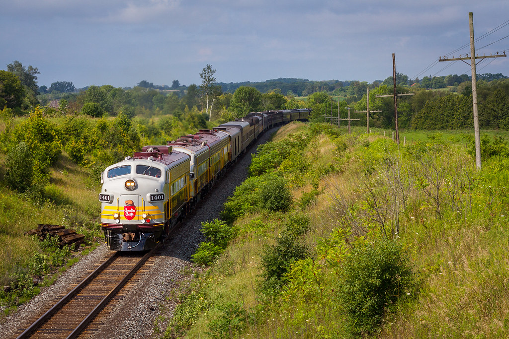
Racing Through The Countryside
Rice Lake @ Bewdley

Mommy with baby
Street view

Rhino's Roadhouse sign

Port Hope: day is done

Port Hope Ontario ~ Town Hall ~ East Hill View.
Walton Street Postcard

Port Hope
Monkey Mountain, Port Hope

Intersection: youth and the river
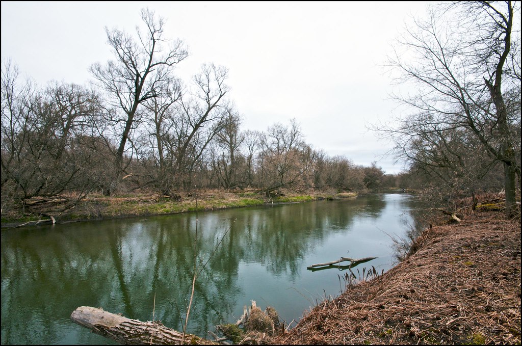
On the Banks of the Ganaraska River_HDR2
Walton Street Postcard

St. John's Anglican Church Postcard
CP 114 - Dickenson Road
Port Hope Harbour Postcard

Port Hope Seagull
View from Viaduct Postcard
View from Viaduct Postcard
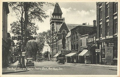
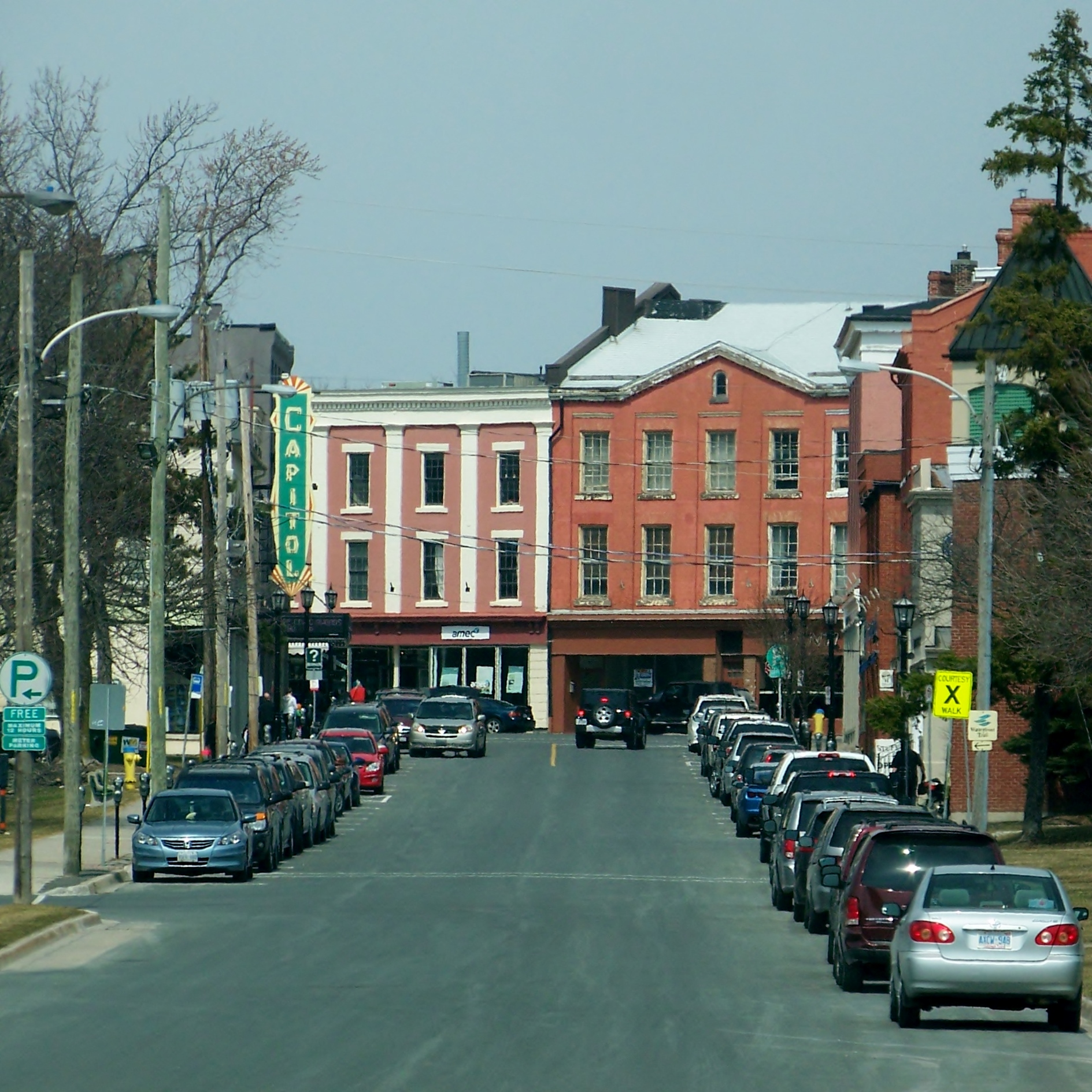
Post Office & Capitol Theatre Block Postcard, c. 1940

Log Cabin
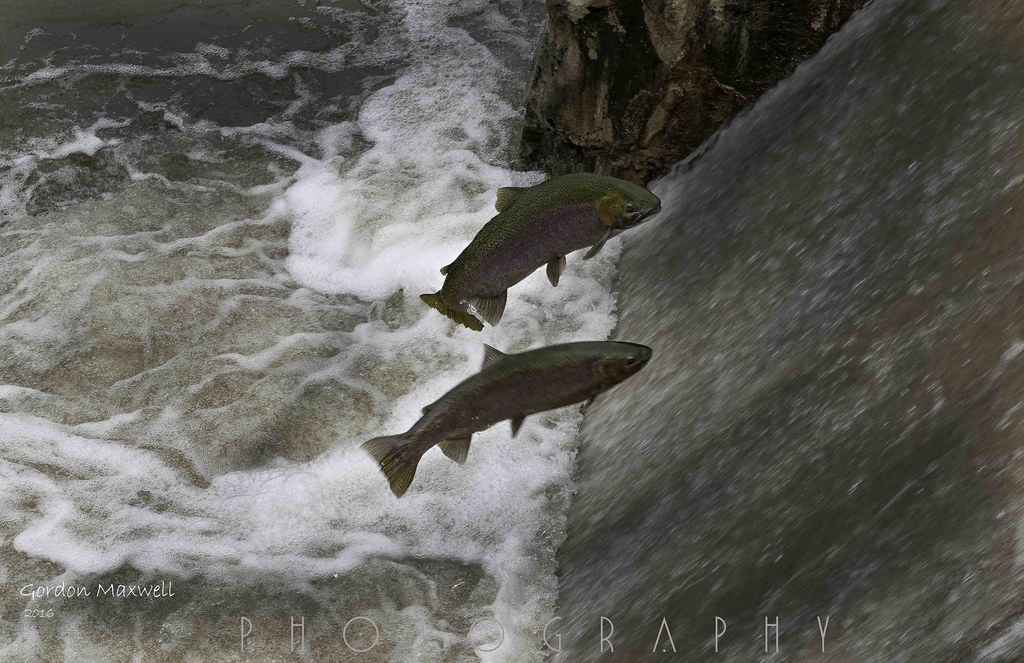
Trout Jumping at the Dam

Week 45: Landscape

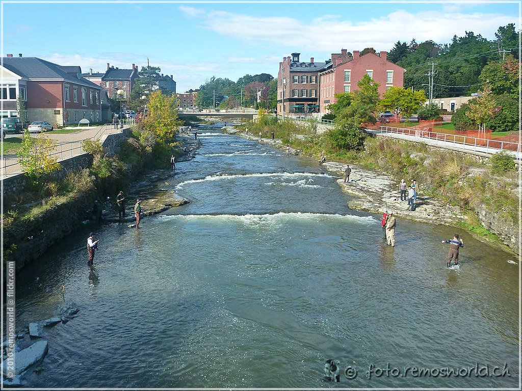
Fly Fishing On The Ganny
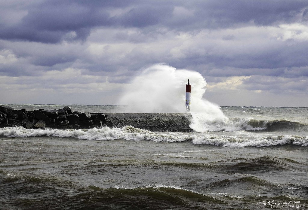
Port Hope waves_2018-11-10_B_4
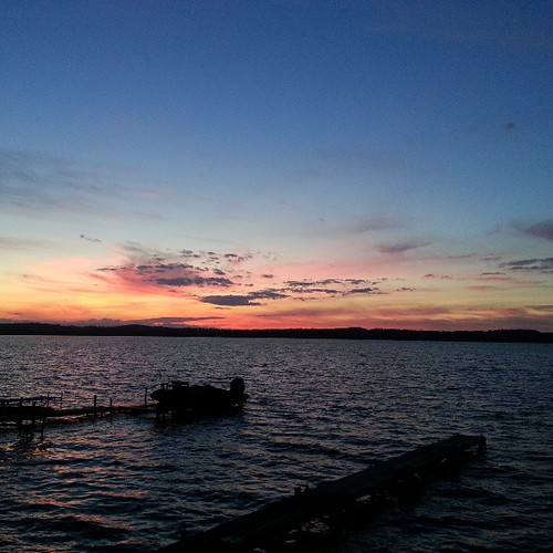
Sunset at Rice Lake

Millbrook Conservation

Sunset at Newcastle
Canada 2010
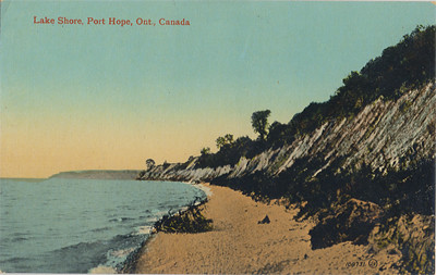
Lake Shore, Port Hope Postcard
Rice Lake @ Gores Landing
Millbrook Valley Trails
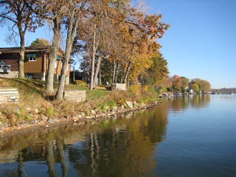
photo-152
Millbrook Conservation
The Ganny
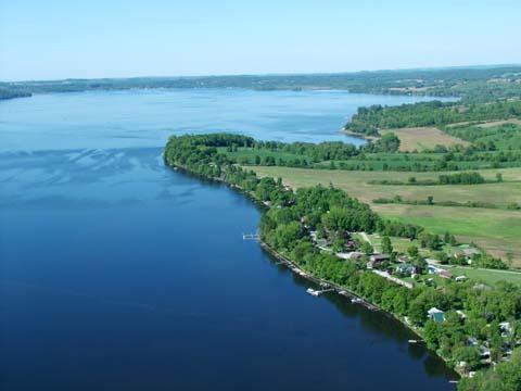
photo-251
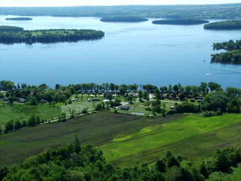
photo-262
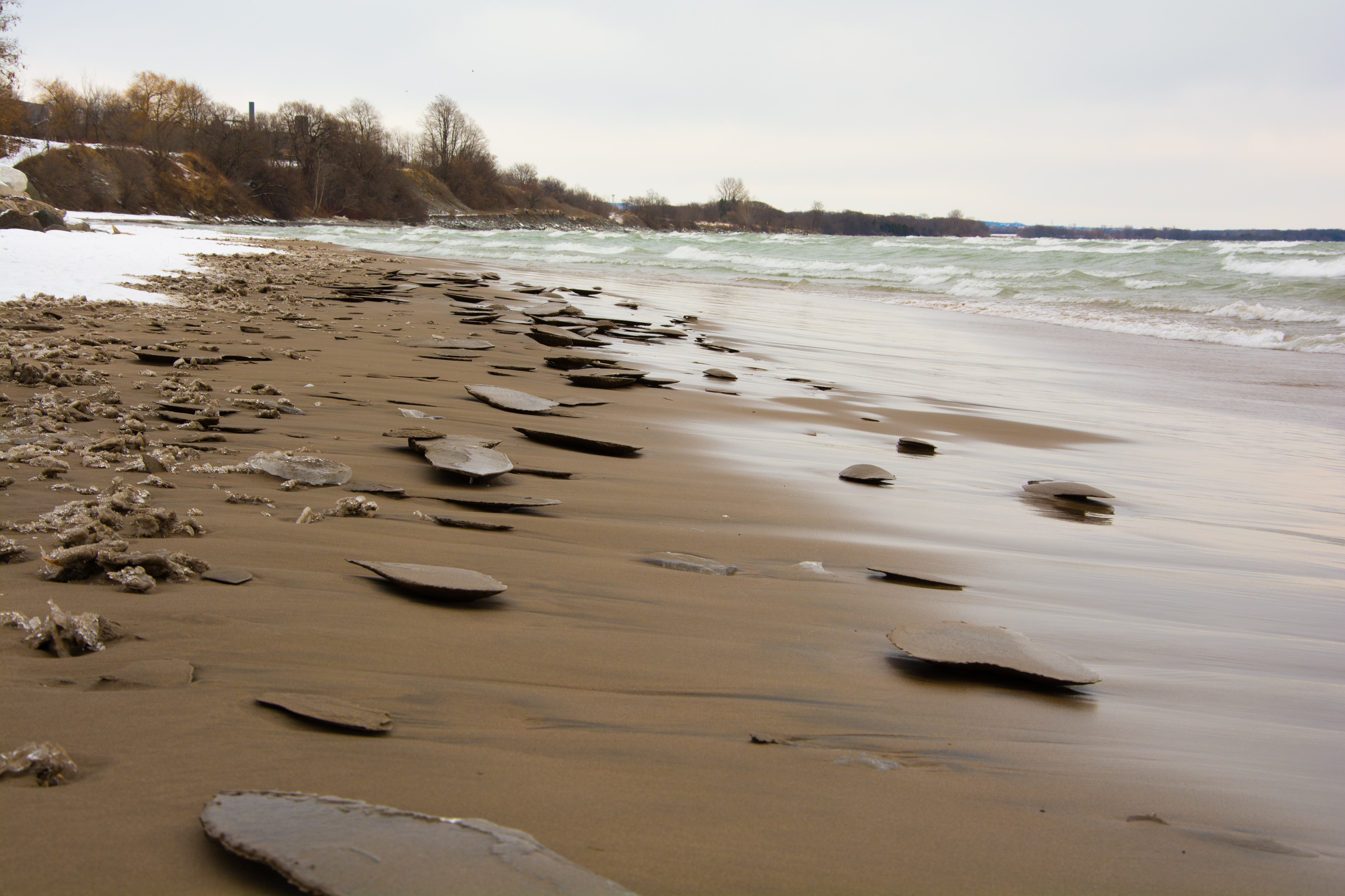
Beach on Lake Ontario, Port Hope

photo-256
Topographic Map of Garden Hill, ON L0A 1B0, Canada
Find elevation by address:

Places near Garden Hill, ON L0A 1B0, Canada:
Ganaraska Rd, Campbellcroft, ON L0A 1B0, Canada
4620 7th Line
Oak Hill Road
4851 Dodds Rd
743 Oak Hill Rd
Bewdley
Allan Rd, Bewdley, ON K0L 1E0, Canada
Trew Road
443 Elgar Dr
County 2 Rd, Port Hope, ON L1A 3V5, Canada
Dale Rd, Port Hope, ON L1A 3V5, Canada
Millbrook
506 Zion Line
3 Main St
196 Toronto Rd
Unit 215
Lakeshore Rd, Port Hope, ON L1A 3V7, Canada
5229 Lakeshore Rd
19 Scout Crescent
Jack Burger Sports Complex
Recent Searches:
- Elevation of Co Rd 87, Jamestown, CO, USA
- Elevation of Tenjo, Cundinamarca, Colombia
- Elevation of Côte-des-Neiges, Montreal, QC H4A 3J6, Canada
- Elevation of Bobcat Dr, Helena, MT, USA
- Elevation of Zu den Ihlowbergen, Althüttendorf, Germany
- Elevation of Badaber, Peshawar, Khyber Pakhtunkhwa, Pakistan
- Elevation of SE Heron Loop, Lincoln City, OR, USA
- Elevation of Slanický ostrov, 01 Námestovo, Slovakia
- Elevation of Spaceport America, Co Rd A, Truth or Consequences, NM, USA
- Elevation of Warwick, RI, USA