Elevation of Garards Fort, PA, USA
Location: United States > Pennsylvania > Greene County > Greene Township >
Longitude: -80.026448
Latitude: 39.8159106
Elevation: 297m / 974feet
Barometric Pressure: 98KPa
Elevation Map:
Satellite Map:
Related Photos:
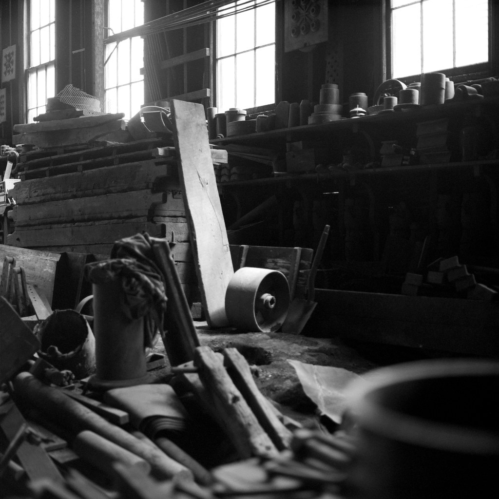
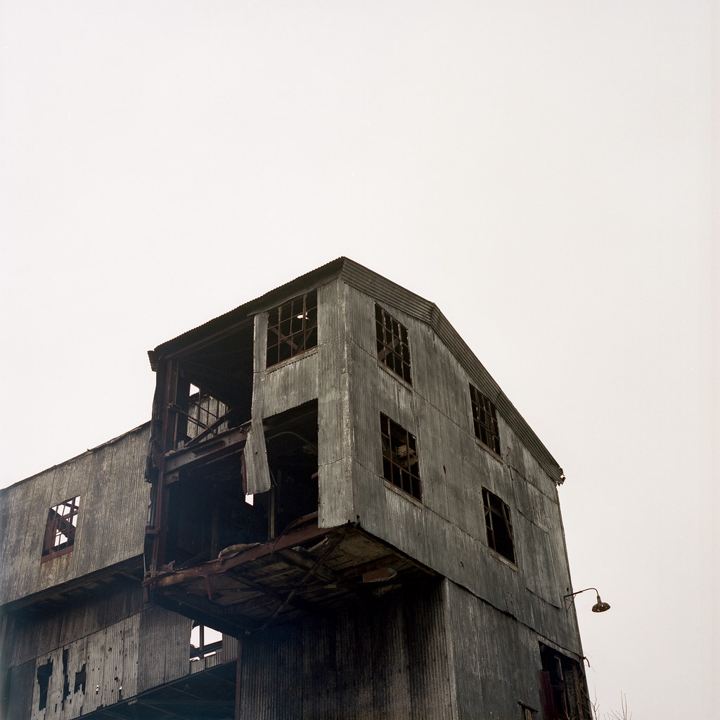
W.A. Young and Sons #11
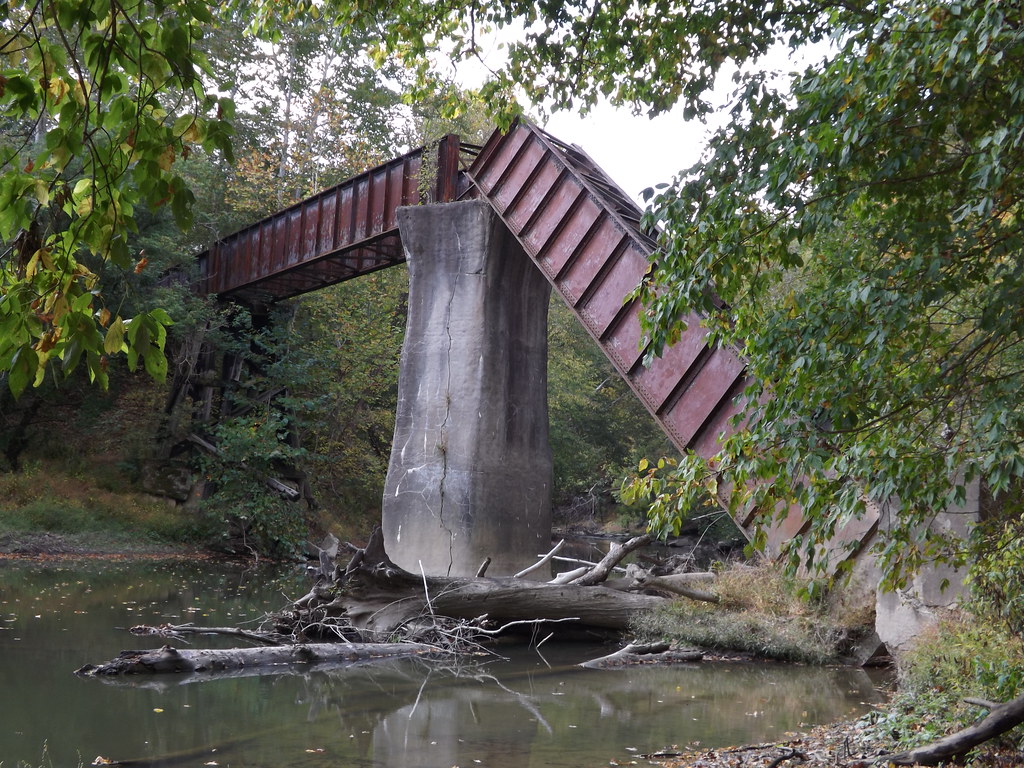
'Big Bridge' at Mather Mine 4of6
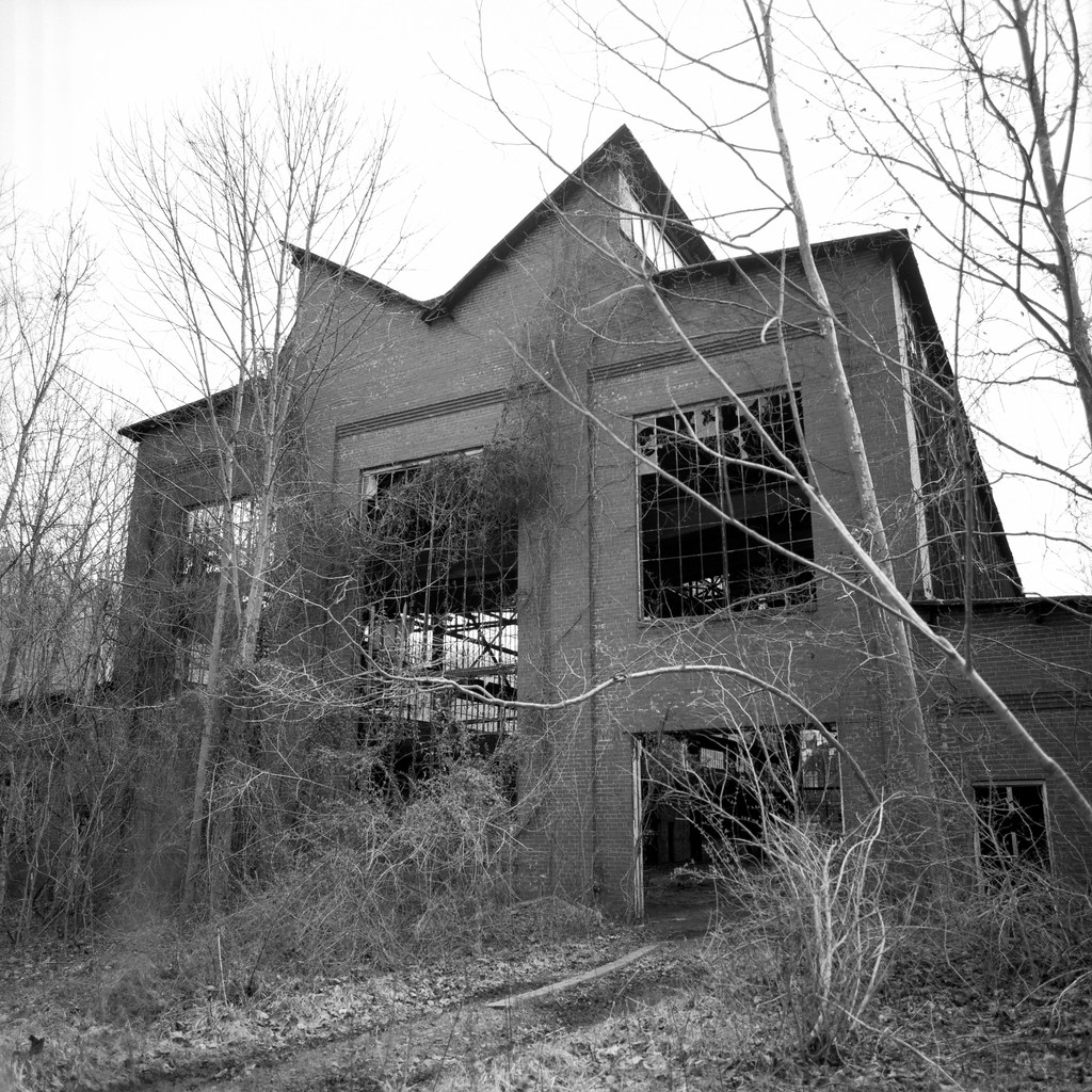
Nemacolin #9
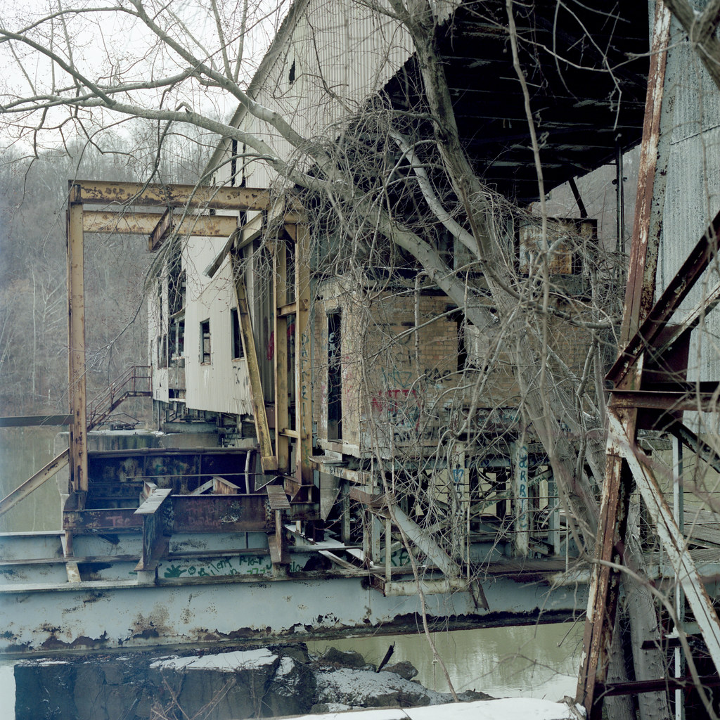
Isabella #7
Isabella #4

Isabella #15

Carmichael Covered Bridge, side view, Greene County, PA

Carmichael Covered Bridge, barrel view, Greene County, PA

Into the Blur

DE 018 South at Mather, PA
Somewhere In My Dreams
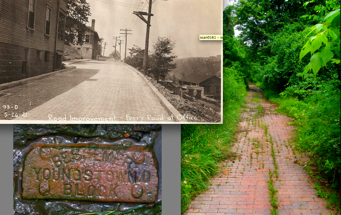
Nemacolin, Pa Ferry Rd.
Alicia No. 2 #24
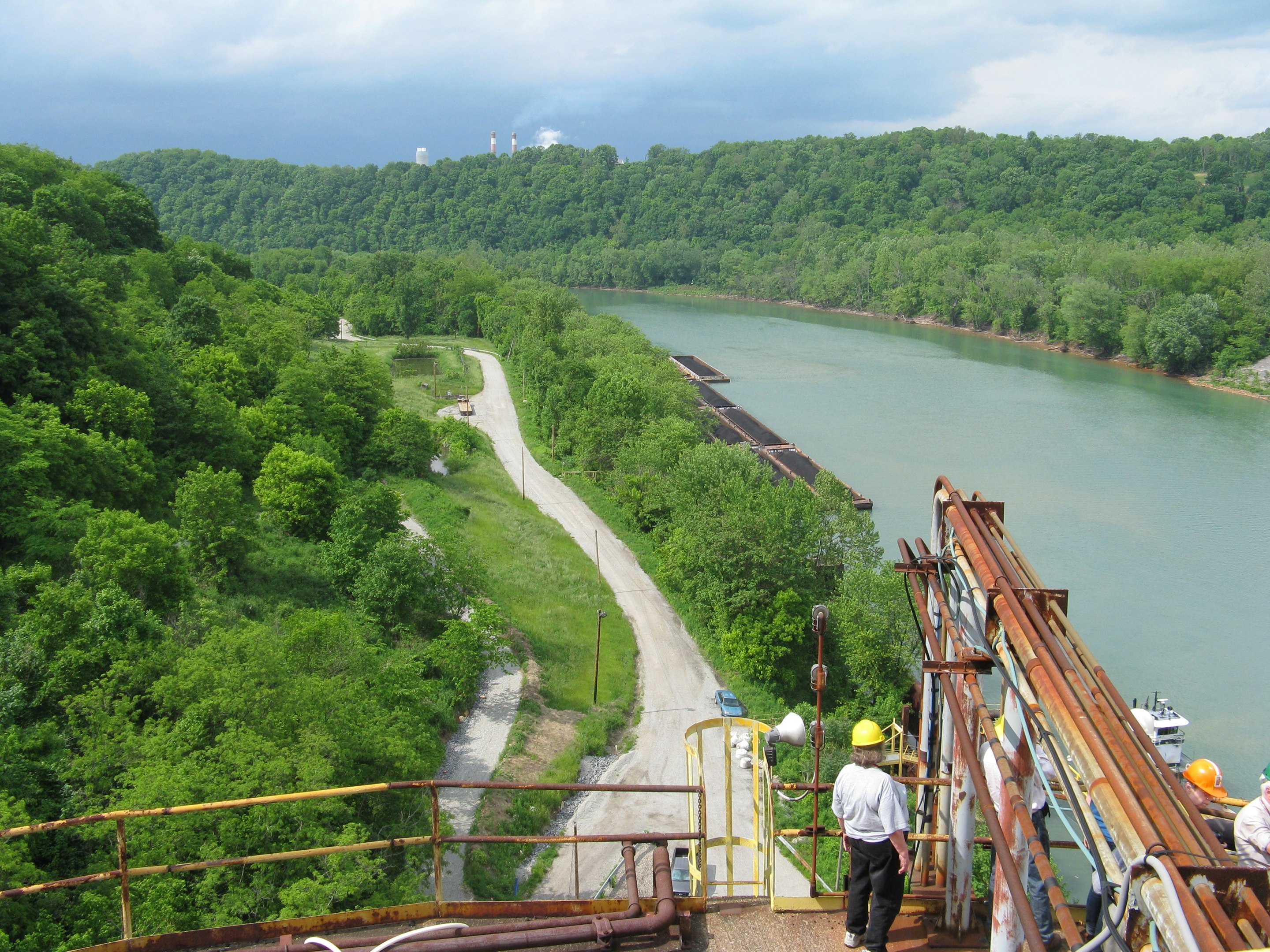
Cumberland Mine barge loading facility - 02
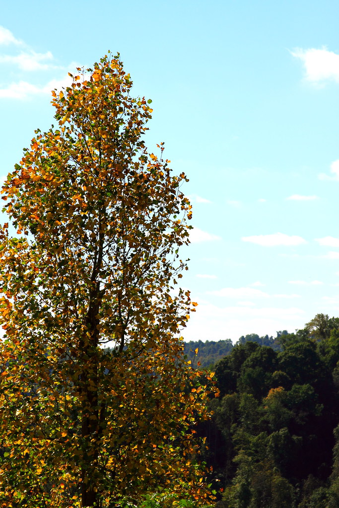
Fall Vista
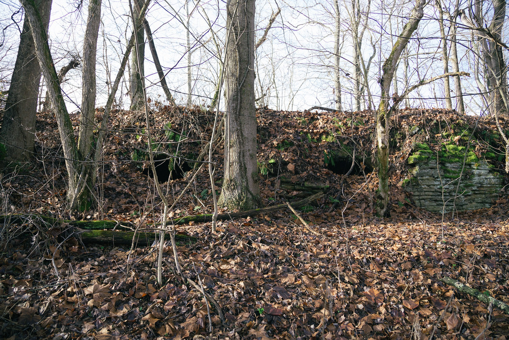
These hills have eyes

full view

view from the entrance
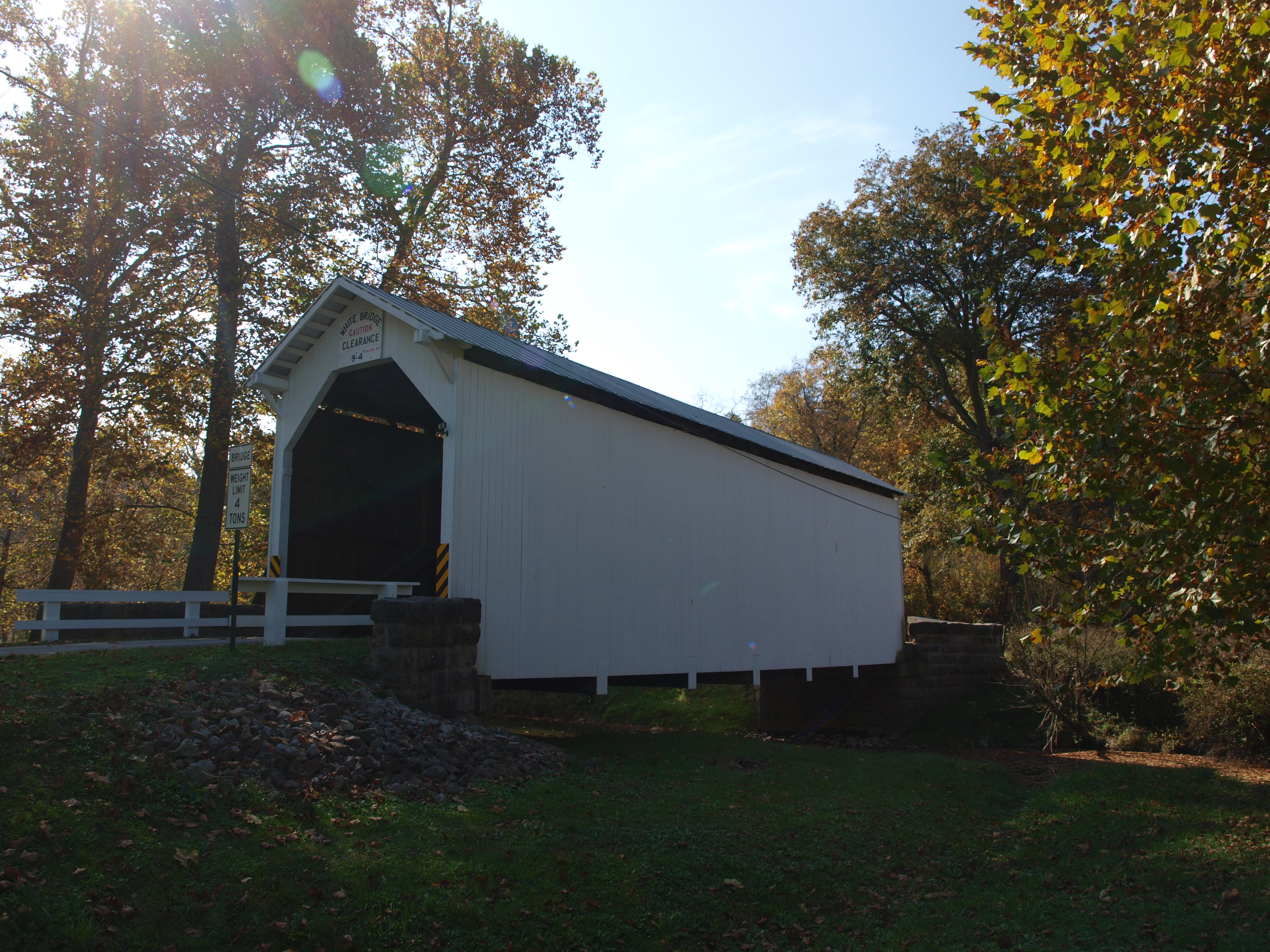
White Covered Bridge, side view, Greene County, PA (2)

White Covered Bridge, barrel view, Greene County, PA
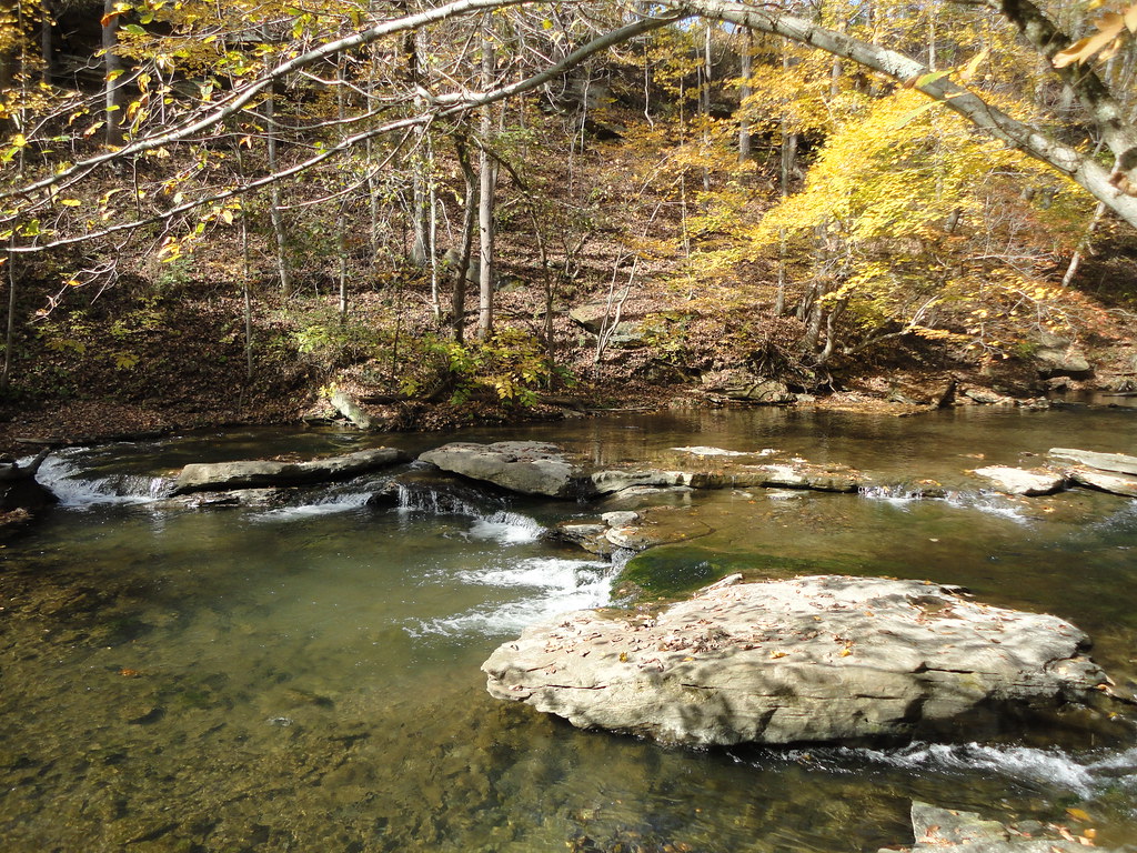
Browns Run Trail Fall
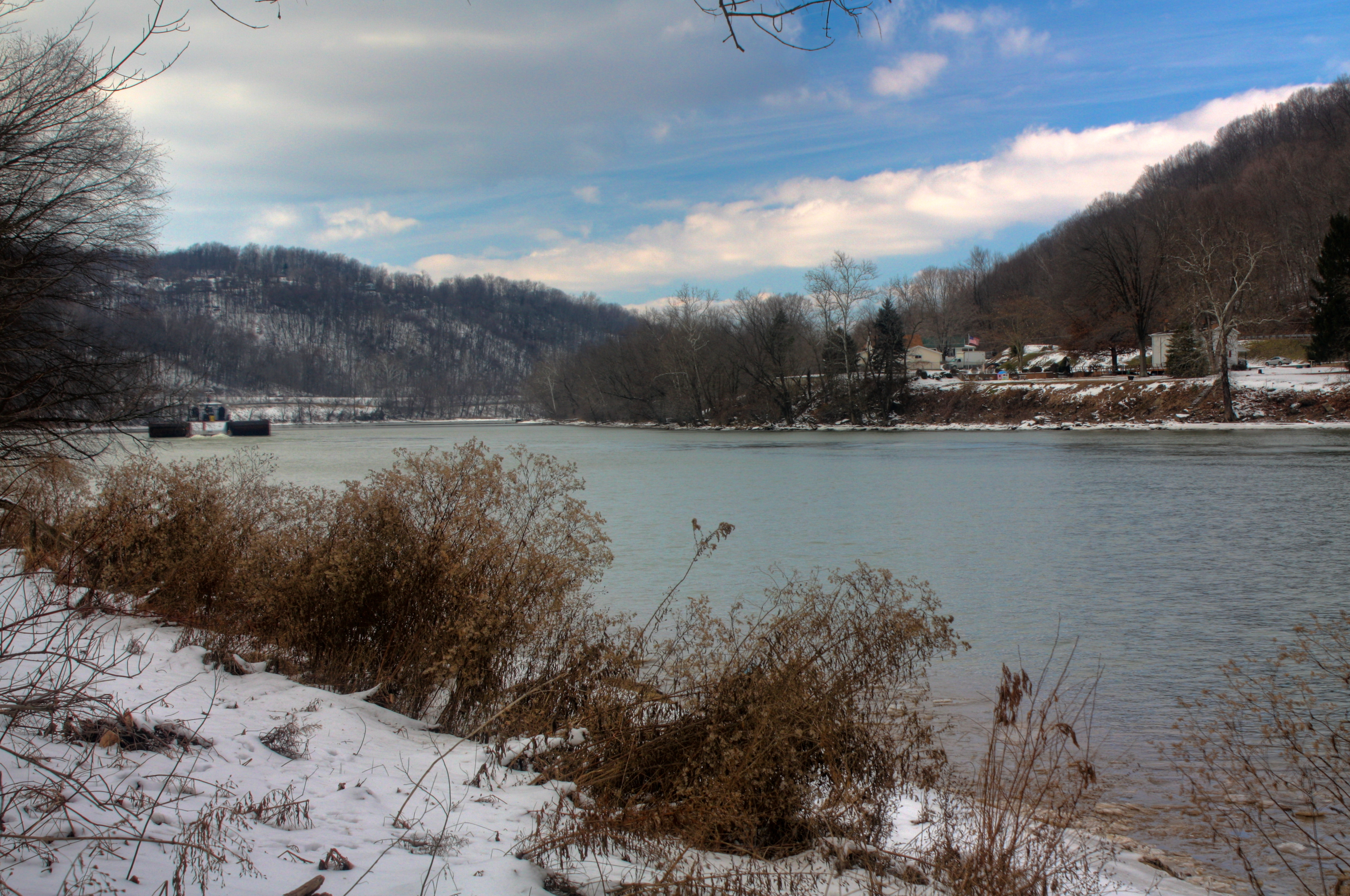
Monongahela River
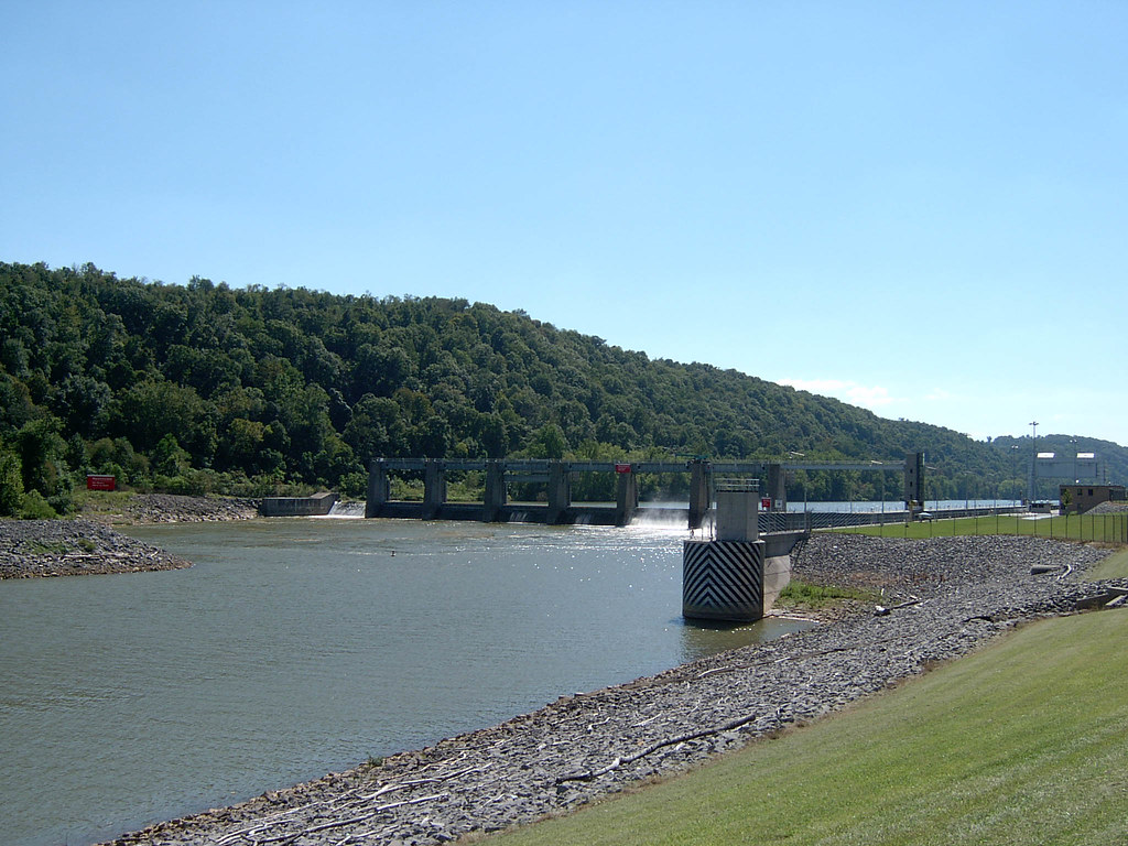
Looking Upstream at Dam Image 1 9-17-2003 Photo-2

'Big Bridge' at Mather Mine 5of6
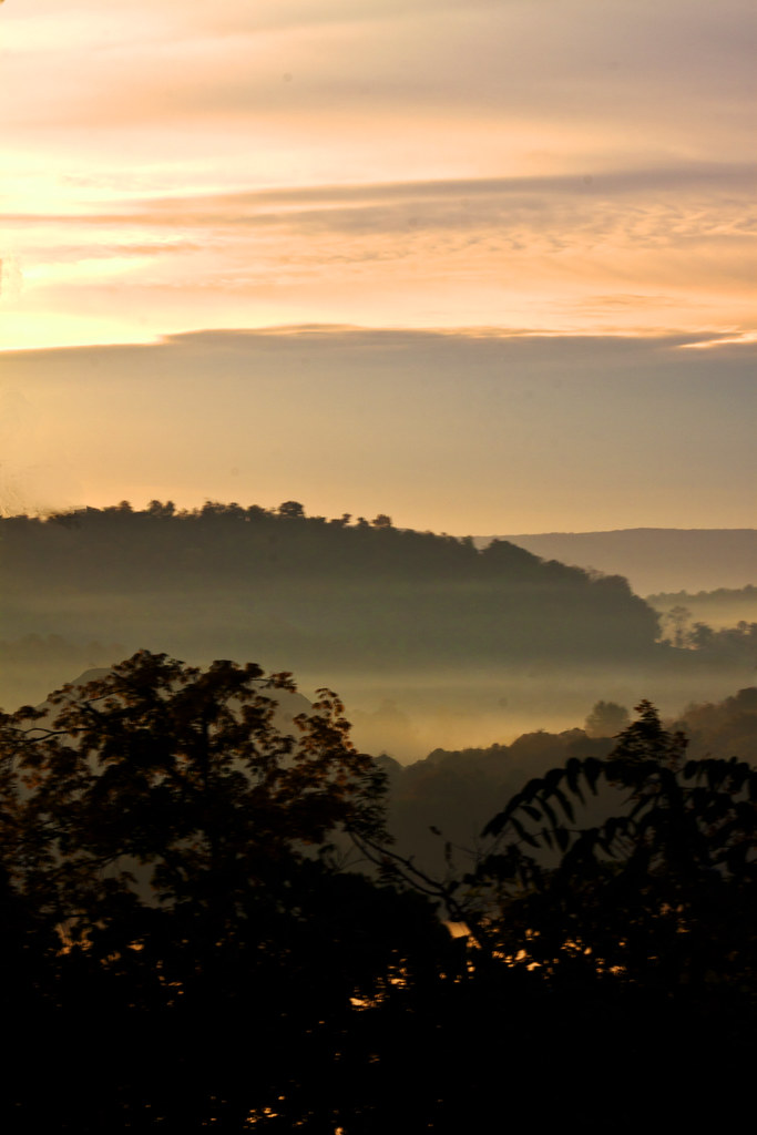
Misty Morning

West Virginia Foliage
09 07 M&D Park me and toby 001

Point Marion Bridges

Day32(2)-HighPoint

Power Tower

Cumberland Mine barge loading facility

Jessop Boat Club

Day32(1)-HighPoint
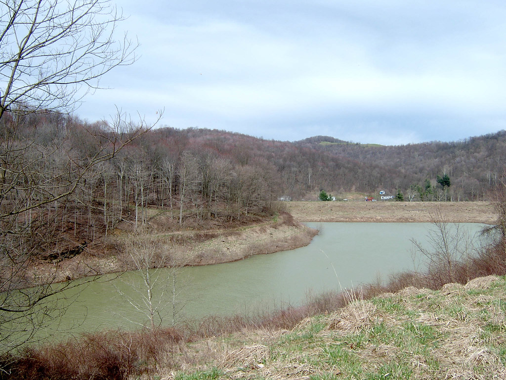
Mason Lake Image 1 4-3-2005 Photo
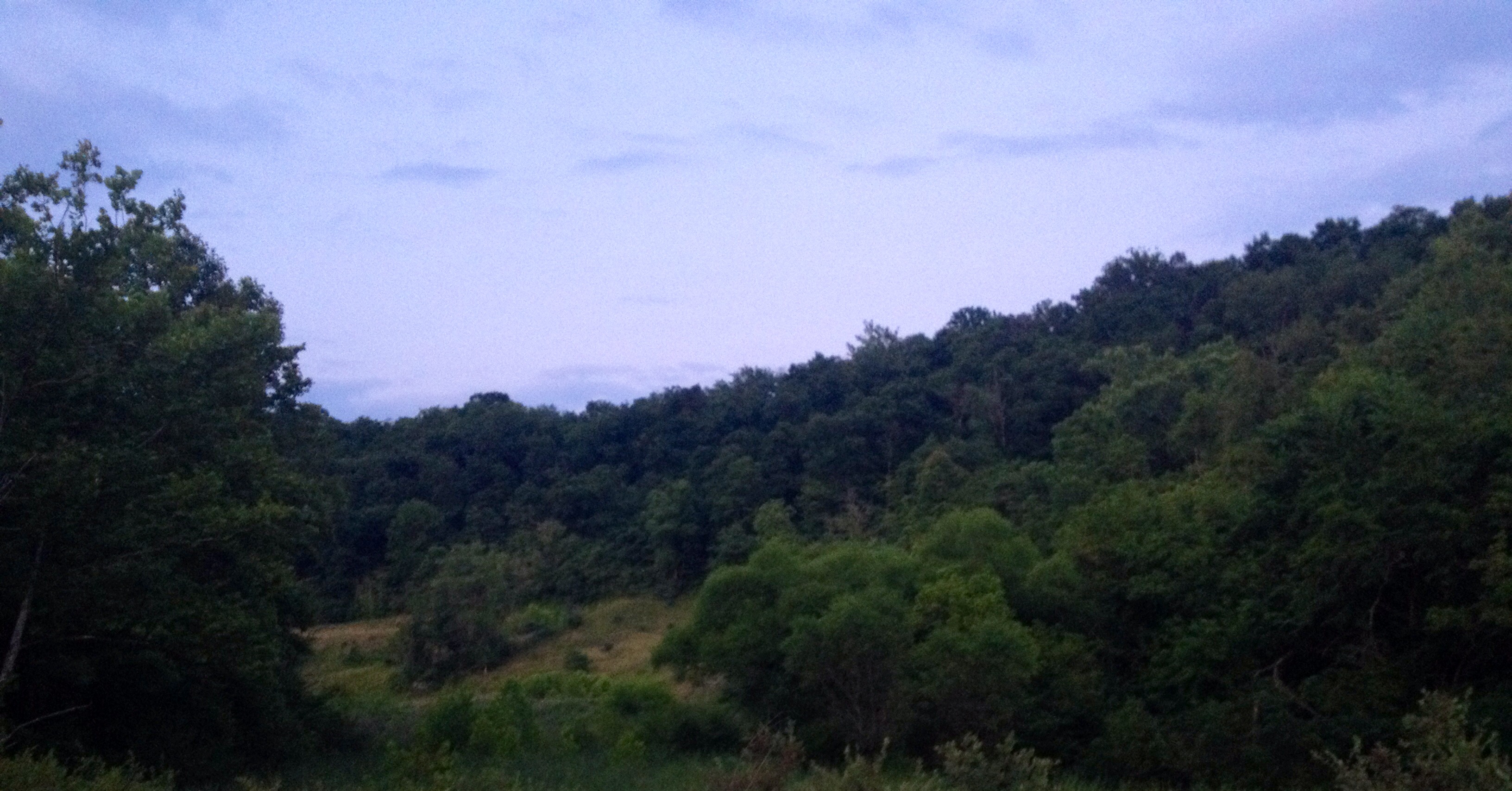
The Big Valley
09 07 M&D Park me and toby 004
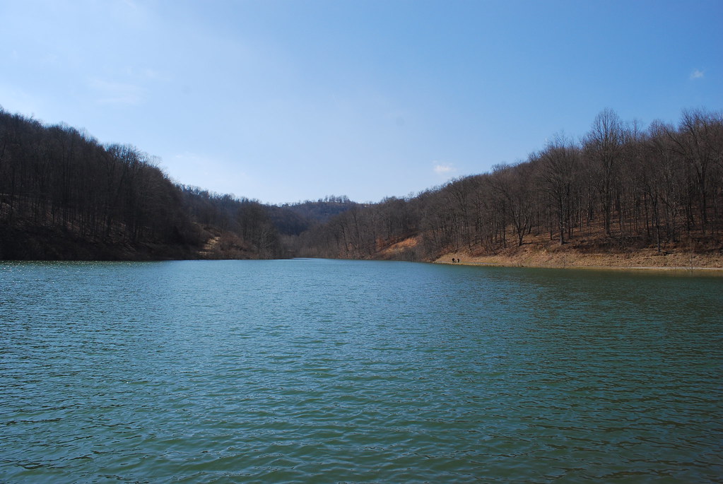
Mason Lake Image 3 4-3-2005 Photo
Mason Lake Image 25 3-12-2008 Photo
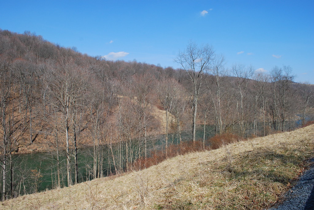
Mason Lake Image 3 3-12-2008 Photo
Pennsylvania. Arkansas. West virginia
Dunkard Creek
Topographic Map of Garards Fort, PA, USA
Find elevation by address:

Places near Garards Fort, PA, USA:
Greene Township
Penndot Welcome Center
Dunkard Township
T, Carmichaels, PA, USA
Sit Still Rd, Dilliner, PA, USA
Bobtown
54 Larimer Ave, Bobtown, PA, USA
Monongahela Township
232 Donham Rd
Cumberland Township
100 Cross St
625 W Greene St
525 Old Waynesburg Rd
Fairdale
Mount Morris
Jefferson Township
Dora Village Main St, Greensboro, PA, USA
207 Stevenson Ln
Greensboro
Perry Township
Recent Searches:
- Elevation of Congressional Dr, Stevensville, MD, USA
- Elevation of Bellview Rd, McLean, VA, USA
- Elevation of Stage Island Rd, Chatham, MA, USA
- Elevation of Shibuya Scramble Crossing, 21 Udagawacho, Shibuya City, Tokyo -, Japan
- Elevation of Jadagoniai, Kaunas District Municipality, Lithuania
- Elevation of Pagonija rock, Kranto 7-oji g. 8"N, Kaunas, Lithuania
- Elevation of Co Rd 87, Jamestown, CO, USA
- Elevation of Tenjo, Cundinamarca, Colombia
- Elevation of Côte-des-Neiges, Montreal, QC H4A 3J6, Canada
- Elevation of Bobcat Dr, Helena, MT, USA