Elevation of Gantts Ln, Sylacauga, AL, USA
Location: United States > Alabama > Talladega County > Sylacauga >
Longitude: -86.289271
Latitude: 33.148387
Elevation: 195m / 640feet
Barometric Pressure: 99KPa
Elevation Map:
Satellite Map:
Related Photos:

View from the Hill

The Meet
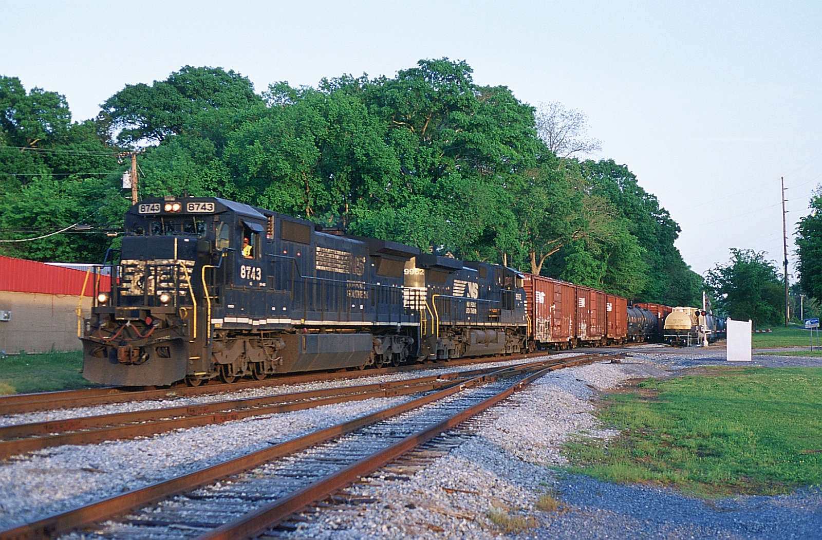
137 Westbound

Practice green for a yard. @farmlinks sick

FarmLinks at Pursell Farms
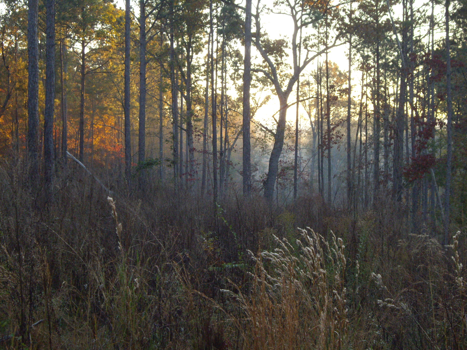
Sunrise Near Tallaseehatchee Creek
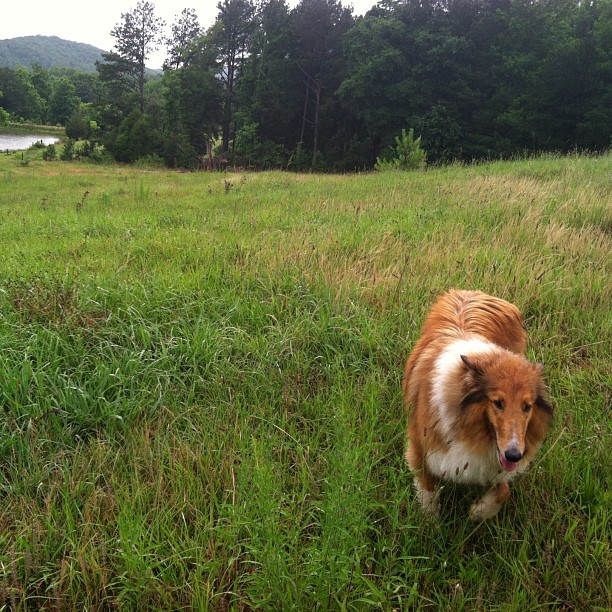
Dog in Pasture
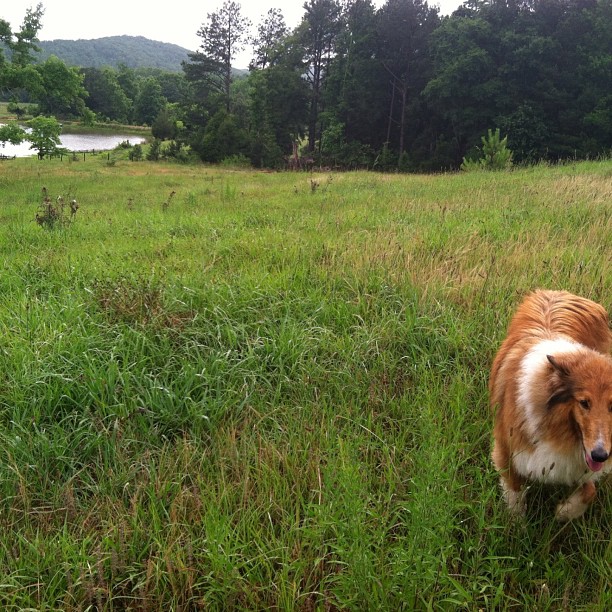
Colly in the pasture

Turquoise Reflections

#Sylacauga #dogwood
Topographic Map of Gantts Ln, Sylacauga, AL, USA
Find elevation by address:

Places near Gantts Ln, Sylacauga, AL, USA:
1 S Broadway Ave
Co Rd, Oak Grove, AL, USA
Oak Grove
Talladega Springs, AL, USA
Sylacauga
Odena Rd S, Sylacauga, AL, USA
Co Rd 41, Sylacauga, AL, USA
Green Mist Rd, Sylacauga, AL, USA
Harper Springs Rd, Sylacauga, AL, USA
8967 Co Rd 21
8967 Co Rd 21
57 W Curtis Rd, Sylacauga, AL, USA
Coleman Bridge Rd, Sylacauga, AL, USA
Co Rd, Alpine, AL, USA
Childersburg Fayetteville Hwy, Sylacauga, AL, USA
320 1st St Se
Childersburg
2 Lessor Dr, Childersburg, AL, USA
120 River Run Rd
Talladega Springs Rd, Sylacauga, AL, USA
Recent Searches:
- Elevation of Kambingan Sa Pansol Atbp., Purok 7 Pansol, Candaba, Pampanga, Philippines
- Elevation of Pinewood Dr, New Bern, NC, USA
- Elevation of Mountain View, CA, USA
- Elevation of Foligno, Province of Perugia, Italy
- Elevation of Blauwestad, Netherlands
- Elevation of Bella Terra Blvd, Estero, FL, USA
- Elevation of Estates Loop, Priest River, ID, USA
- Elevation of Woodland Oak Pl, Thousand Oaks, CA, USA
- Elevation of Brownsdale Rd, Renfrew, PA, USA
- Elevation of Corcoran Ln, Suffolk, VA, USA