Elevation of Gannett Rd, Scituate, MA, USA
Location: United States > Massachusetts > Plymouth County > Scituate >
Longitude: -70.773785
Latitude: 42.2291794
Elevation: 7m / 23feet
Barometric Pressure: 101KPa
Elevation Map:
Satellite Map:
Related Photos:

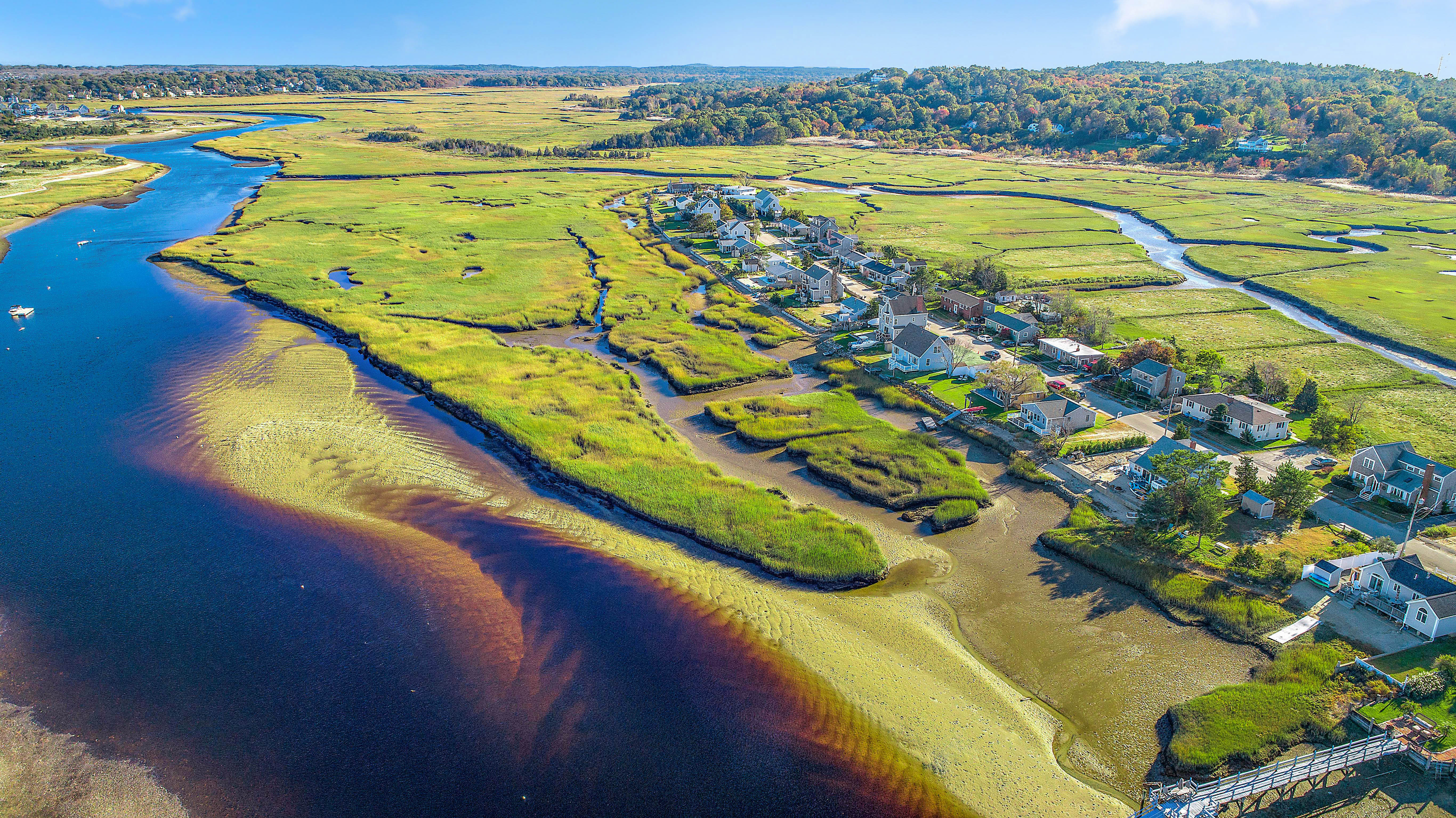
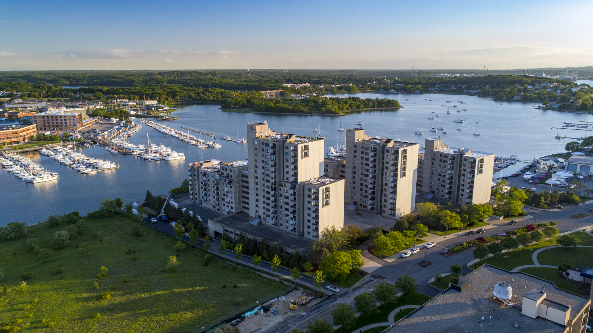
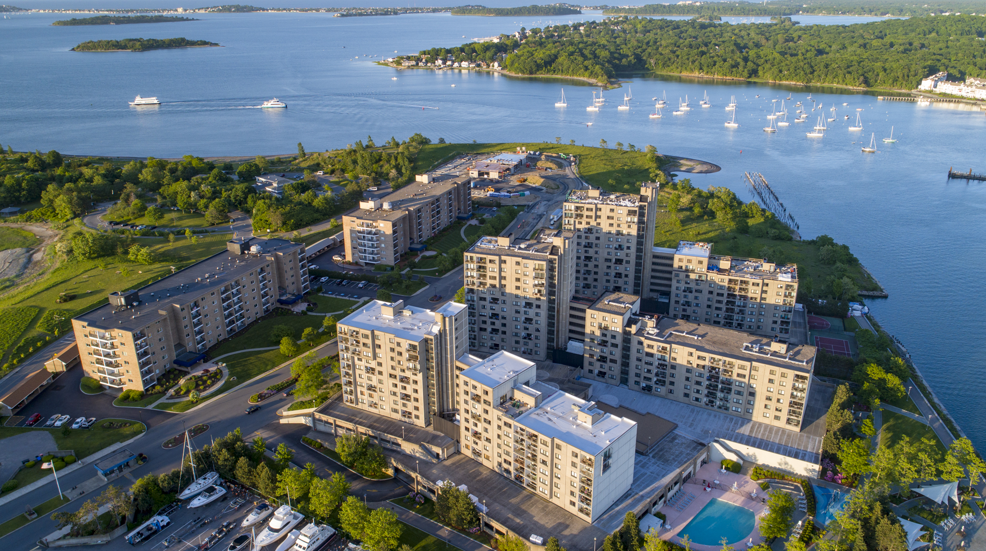
_M4_9020.jpg
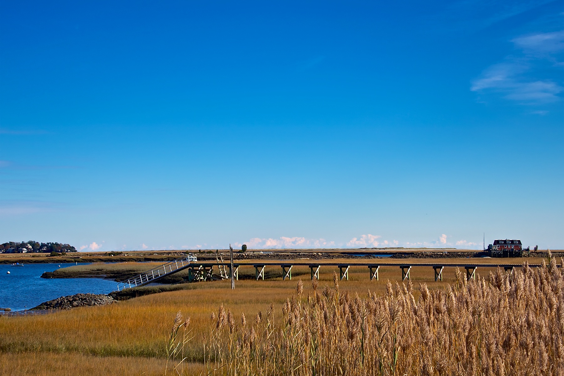
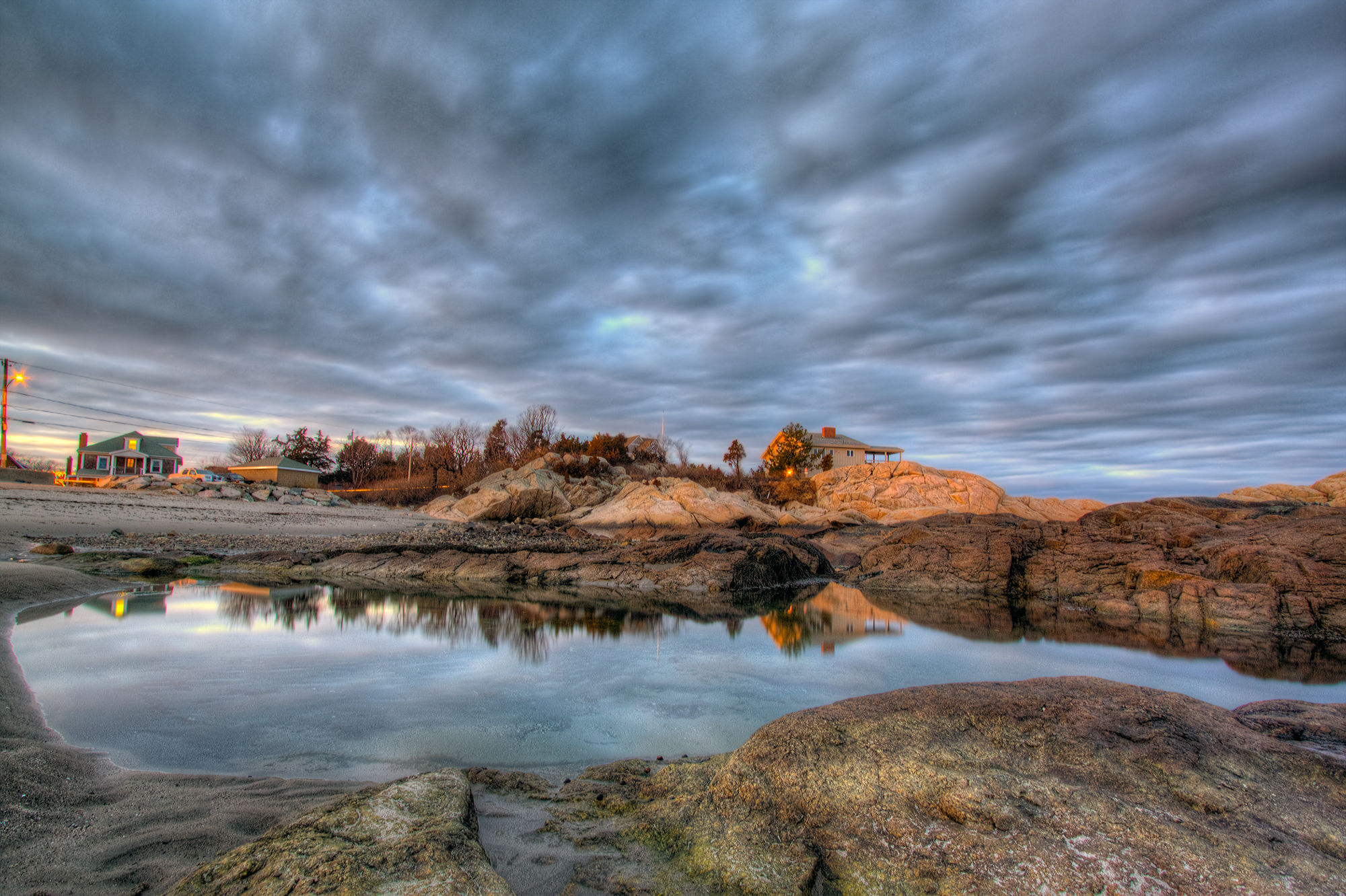
_RDX9532.jpg

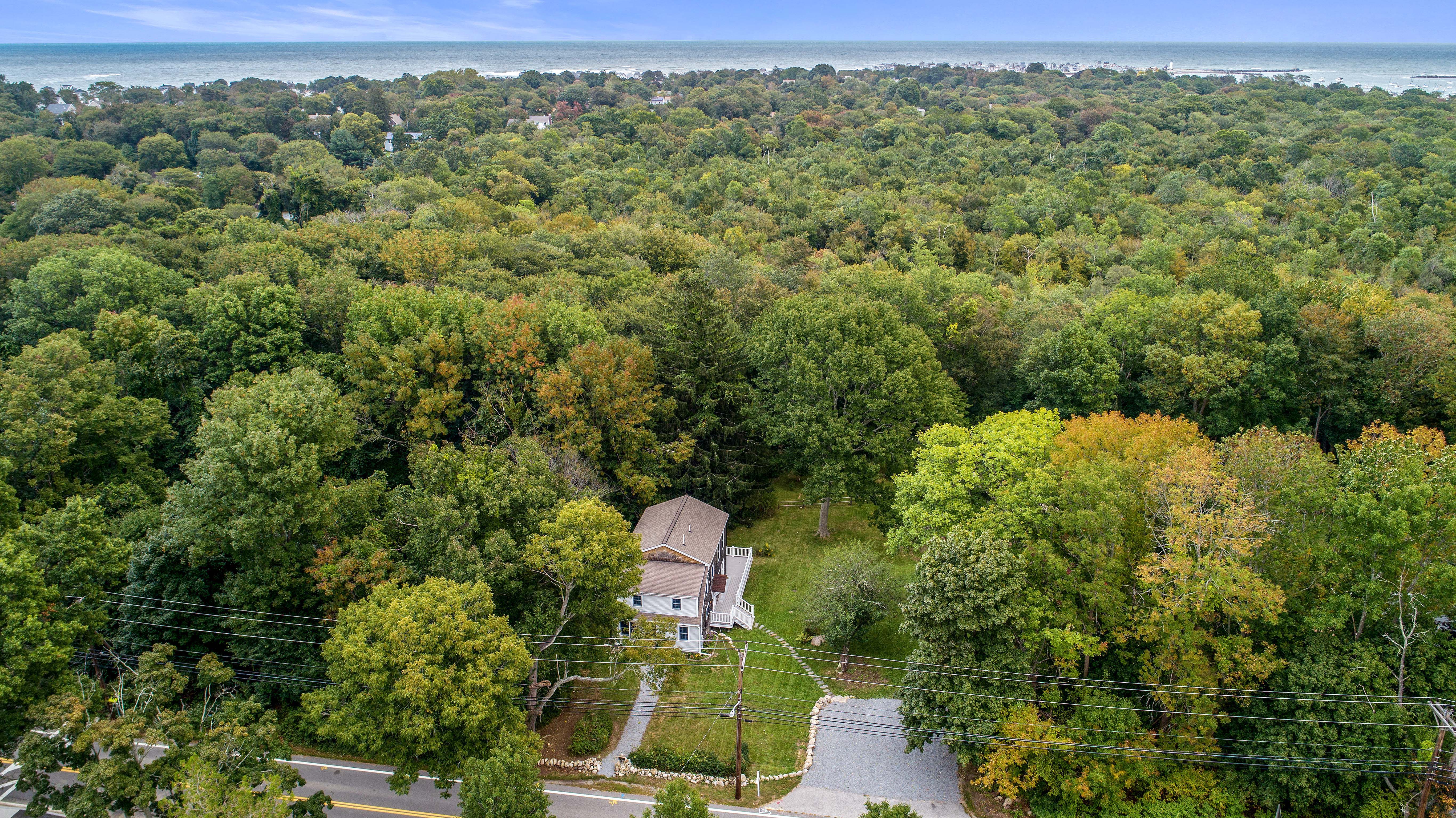
_M4_6207.jpg

_M4_3557.jpg
_M4_3089.jpg

_M4_2485.jpg

_M4_6222.jpg

_RDX7170.jpg
_M4_6670.jpg

_RDX9621.jpg

_RDX0024.jpg
_M4_8281.jpg
_RDX1145.jpg
_RDX9324.jpg

_M4_2559.jpg

Boston Light, Massachusetts

_RDX1048.jpg
_RDX1196.jpg
5DSR0711.jpg
_M4_0826.jpg
_M4_1662.jpg
Come sail away
4th of July Sunset

29 Twilight Path (19 of 23)
Cohasset Harbor - Cohasset, Massachusetts
Minot Beach #1
29 Twilight Path (20 of 23)
North River

sea of "fluffy top grasses"

U n t i t l e d

4th Cliff from 3rd Cliff
231 (15 of 20)
North River Wildlife Sanctuary
146 Tilden New (10 of 11)
fire is out
73 Broad Reach Unit 152 (21)
Top of the rock at Minot Beach - Scituate, MA

Clouds rolling in
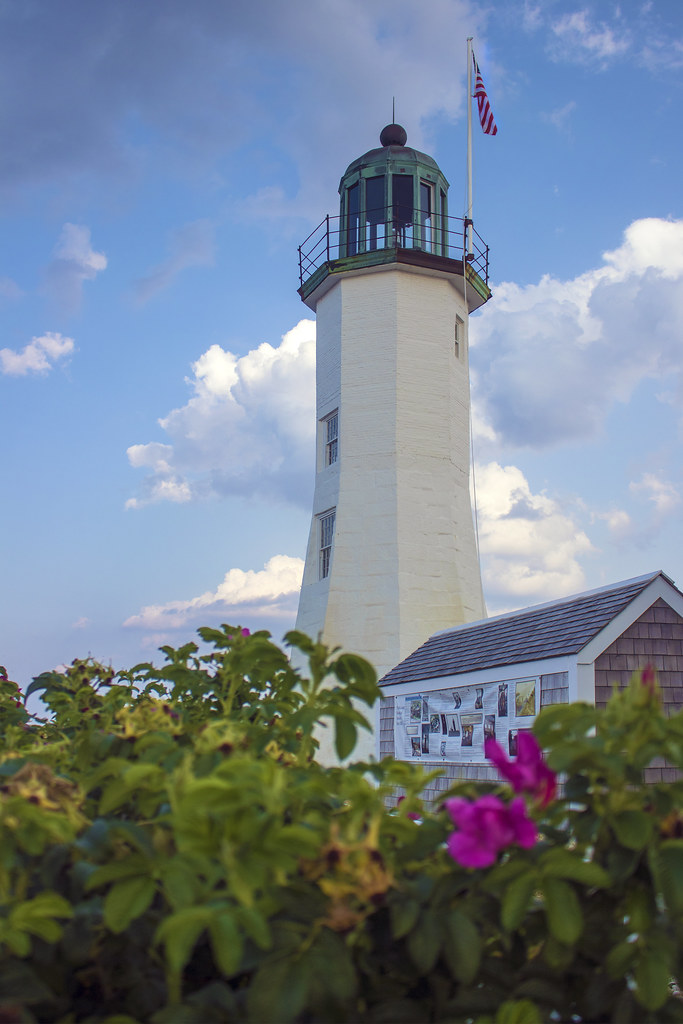
Scituate Lighthouse, Scituate, Massachusetts
73 Broad Reach Unit 152 (18)
Scituate Light 4

Scituate Lighthouse - Scituate Harbor, MA
Topographic Map of Gannett Rd, Scituate, MA, USA
Find elevation by address:

Places near Gannett Rd, Scituate, MA, USA:
7 Border St
11 Indian Trail
16 Border St
18 Indian Trail
10 Wigwam Ln
14 Wigwam Ln
44 Border St
15 Wigwam Ln
15 Bulrush Farm Rd
7 Bulrush Farm Rd
77 Border St
88 Gannett Rd
71 Gannett Rd
35 Sedgewick Dr
67 Border St
537 Hatherly Rd
30 Country Club Cir
19 Kathy's Path
26 Kathy's Path
15 Musquashicut Ave
Recent Searches:
- Elevation of Congressional Dr, Stevensville, MD, USA
- Elevation of Bellview Rd, McLean, VA, USA
- Elevation of Stage Island Rd, Chatham, MA, USA
- Elevation of Shibuya Scramble Crossing, 21 Udagawacho, Shibuya City, Tokyo -, Japan
- Elevation of Jadagoniai, Kaunas District Municipality, Lithuania
- Elevation of Pagonija rock, Kranto 7-oji g. 8"N, Kaunas, Lithuania
- Elevation of Co Rd 87, Jamestown, CO, USA
- Elevation of Tenjo, Cundinamarca, Colombia
- Elevation of Côte-des-Neiges, Montreal, QC H4A 3J6, Canada
- Elevation of Bobcat Dr, Helena, MT, USA