Elevation of Gandharvgad, Kolhapur, Maharashtra, India
Location: India > Maharashtra >
Longitude: 74.2406756
Latitude: 15.9547453
Elevation: 915m / 3002feet
Barometric Pressure: 91KPa
Elevation Map:
Satellite Map:
Related Photos:
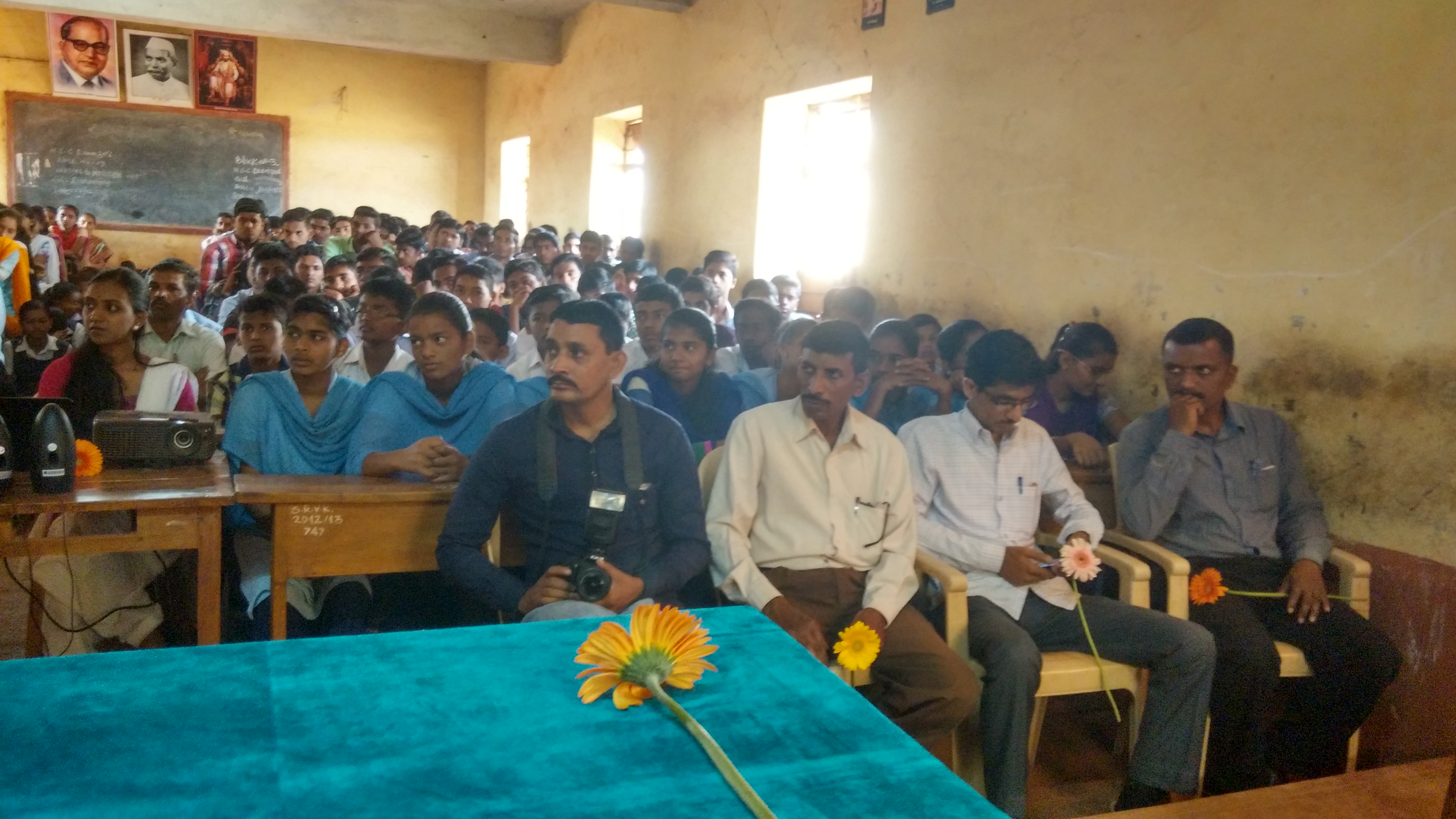
Lecture on National Science Day at Nool, Kowad, Kolhapur for student & teachers. All Lectures since 26-02-2016 are organised by Marathi Vidnyan Parishad, Gadhinglaj

Lecture on National Science Day at Nool, Kowad, Kolhapur for student & teachers. All Lectures since 26-02-2016 are organised by Marathi Vidnyan Parishad, Gadhinglaj

Lecture on National Science Day at Nool, Kowad, Kolhapur for student & teachers. All Lectures since 26-02-2016 are organised by Marathi Vidnyan Parishad, Gadhinglaj

Crazy Yatra
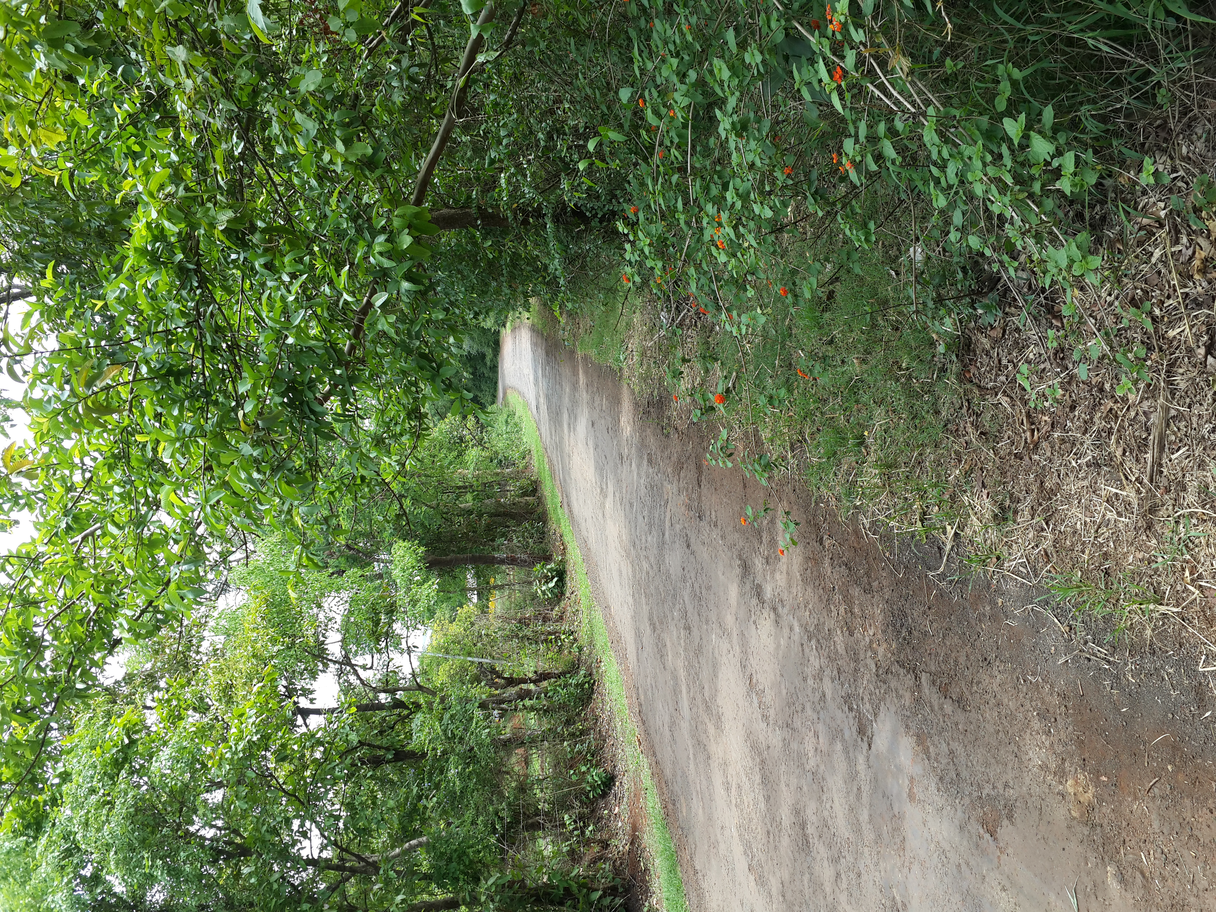
These all from my farm near goa, india. Catch from my note3 n900

These all from my farm near goa, india. Catch from my note3 n900
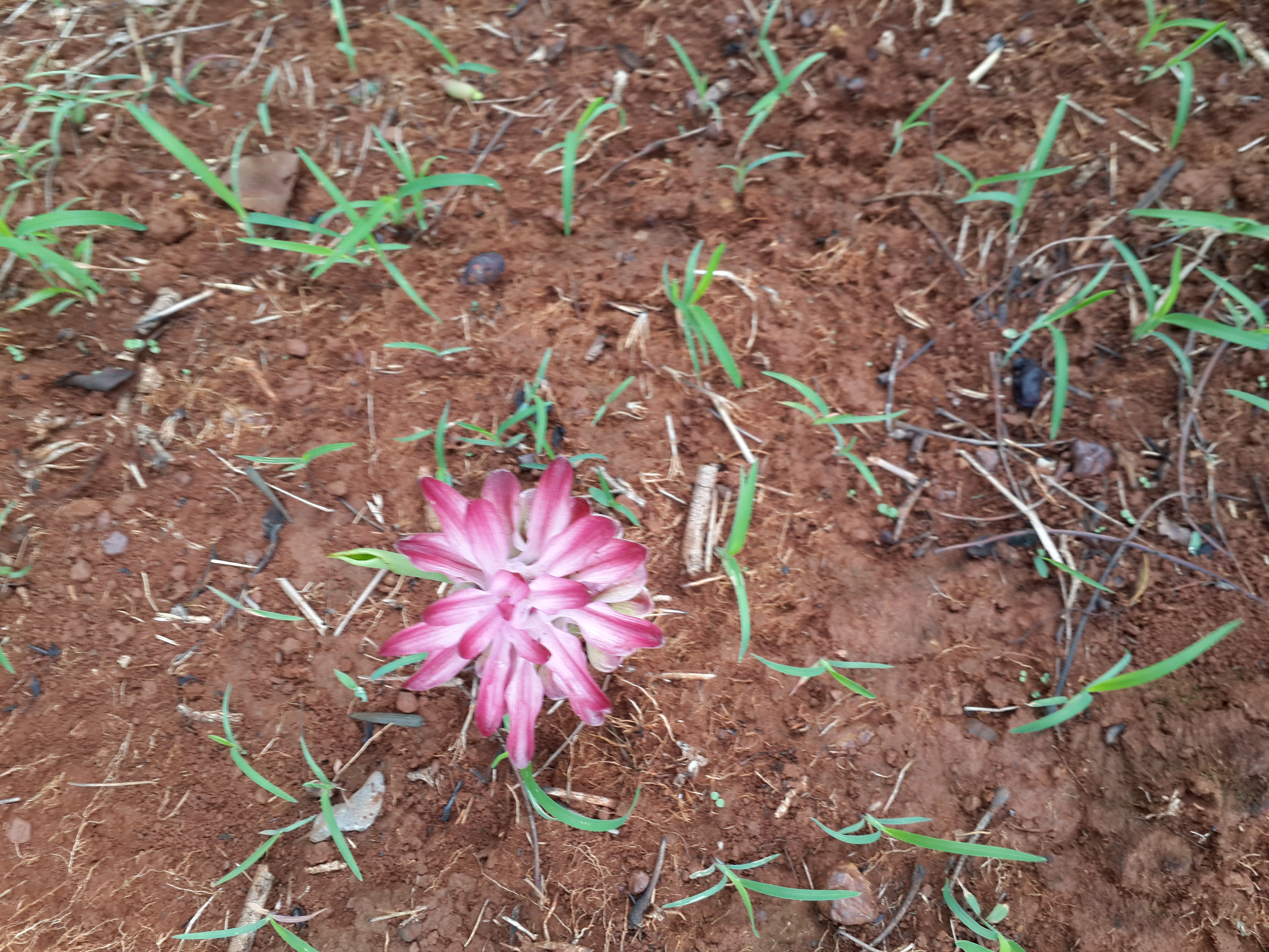
These all from my farm near goa, india. Catch from my note3 n900

These all from my farm near goa, india. Catch from my note3 n900

These all from my farm near goa, india. Catch from my note3 n900
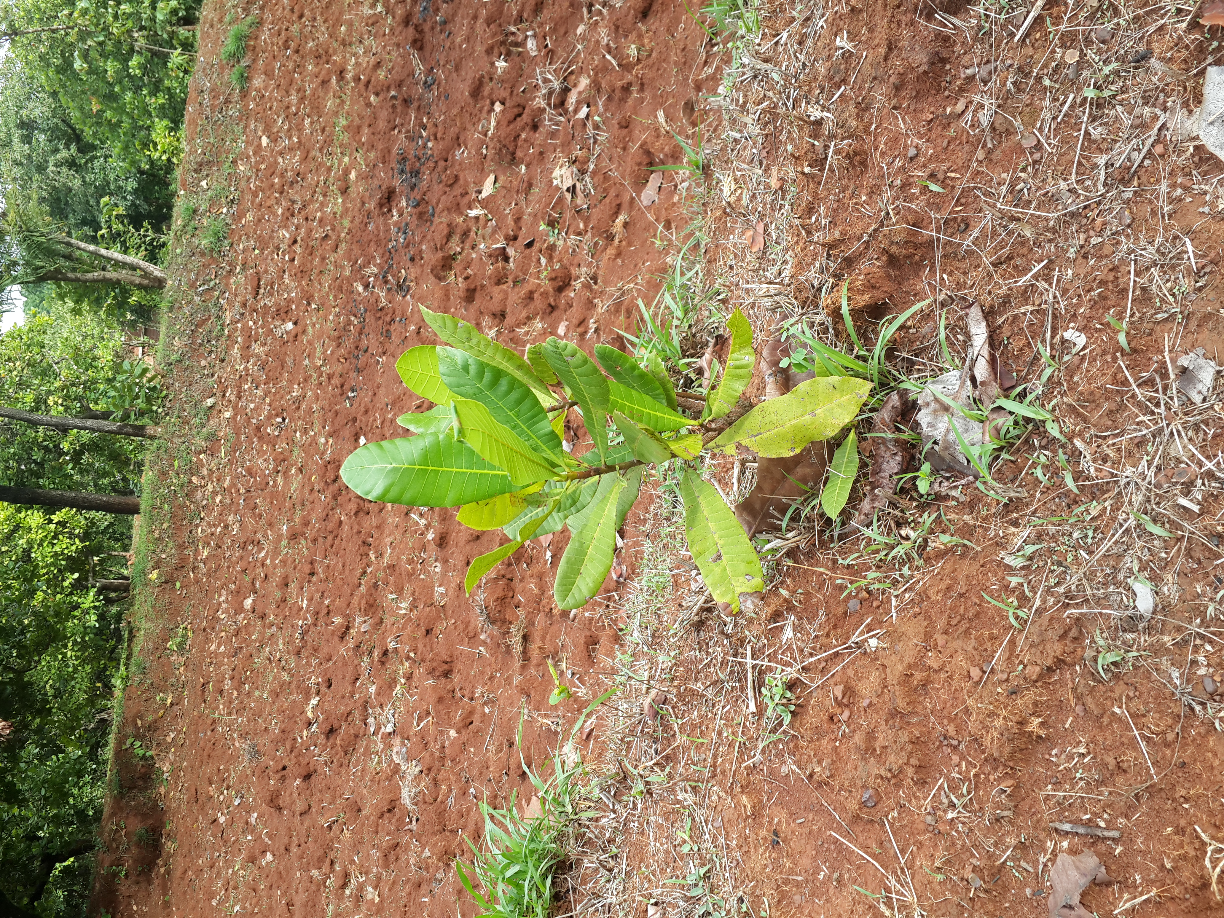
These all from my farm near goa, india. Catch from my note3 n900

These all from my farm near goa, india. Catch from my note3 n900

These all from my farm near goa, india. Catch from my note3 n900

These all from my farm near goa, india. Catch from my note3 n900

i5 snaps

i5 snaps
Topographic Map of Gandharvgad, Kolhapur, Maharashtra, India
Find elevation by address:

Places near Gandharvgad, Kolhapur, Maharashtra, India:
Walkoli
Koraj
Kurtanwadi
Naganwadi
Satawane
Shirgaon
Vargaon
Date
Savarde Inam
Belebhat
Konewadi
Churnichawada
Powachiwadi
Gudewadi
Kenchewadi
Kanadi
Hallarwadi
Jattewadi
Chandgad
Primary School Nandawade
Recent Searches:
- Elevation of 55 Cassick Valley Rd, Wellfleet, MA, USA
- Elevation of Ironwood Dr, Minden, NV, USA
- Elevation of 高尾山口駅, Takaomachi, Hachioji, Tokyo -, Japan
- Elevation of 15 Victory Ave, Greenville, SC, USA
- Elevation of Kota Ternate Utara, Ternate City, North Maluku, Indonesia
- Elevation of Allon St, Oceanside, NY, USA
- Elevation of Carroll Creek Rd, Custer, SD, USA
- Elevation of Lust Road, Lust Rd, Florida, USA
- Elevation of Pleasant Valley Rd NW, Adairsville, GA, USA
- Elevation of Općina Šodolovci, Croatia