Elevation of Galunggung, Linggawangi, Leuwisari, Tasikmalaya, West Java, Indonesia
Location: Indonesia > West Java > Tasikmalaya > Leuwisari > Linggawangi >
Longitude: 108.071666
Latitude: -7.2666667
Elevation: 1270m / 4167feet
Barometric Pressure: 87KPa
Elevation Map:
Satellite Map:
Related Photos:

Woohoo it's a beautiful view, the weather today is friendly. When I saw this lake my mind so calm down. #instaweather #instamoment #instaplace #instaview
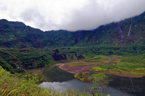
Galunggung Caldera another view
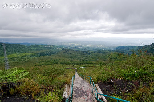
Steps to Caldera another view
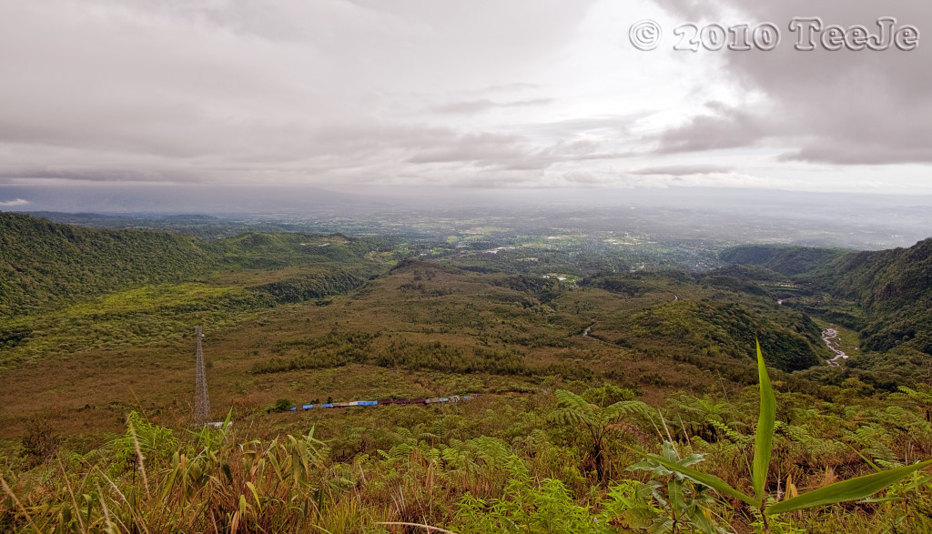
Ciamis from Galunggung mountain view
Topographic Map of Galunggung, Linggawangi, Leuwisari, Tasikmalaya, West Java, Indonesia
Find elevation by address:

Places near Galunggung, Linggawangi, Leuwisari, Tasikmalaya, West Java, Indonesia:
Linggawangi
Leuwisari
Yayasan Darul Ihsan
Wanaraja
Kampung Naga
Caringin
Neglasari
Salawu
Garut Kota
Tasik Indah Plaza
Kota Kulon
Garut
Tasikmalaya
Tawang
Alun-alun Garut
Kahuripan
Cilawu
Dangiang
Gunung Cikuray
Tarogong Kaler
Recent Searches:
- Elevation of Corso Fratelli Cairoli, 35, Macerata MC, Italy
- Elevation of Tallevast Rd, Sarasota, FL, USA
- Elevation of 4th St E, Sonoma, CA, USA
- Elevation of Black Hollow Rd, Pennsdale, PA, USA
- Elevation of Oakland Ave, Williamsport, PA, USA
- Elevation of Pedrógão Grande, Portugal
- Elevation of Klee Dr, Martinsburg, WV, USA
- Elevation of Via Roma, Pieranica CR, Italy
- Elevation of Tavkvetili Mountain, Georgia
- Elevation of Hartfords Bluff Cir, Mt Pleasant, SC, USA