Elevation of Galtymore, Co. Limerick, Ireland
Location: Ireland > Limerick > Limerick > Knocknagalty >
Longitude: -8.1791666
Latitude: 52.3658333
Elevation: 896m / 2940feet
Barometric Pressure: 91KPa
Elevation Map:
Satellite Map:
Related Photos:
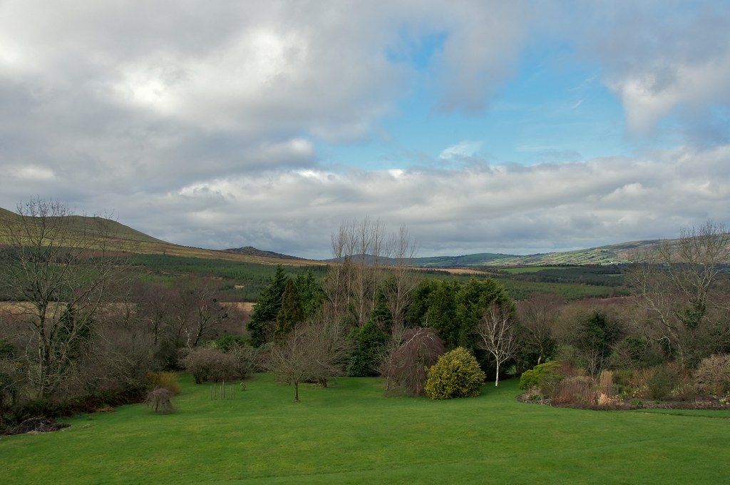
Glen of Aherlow
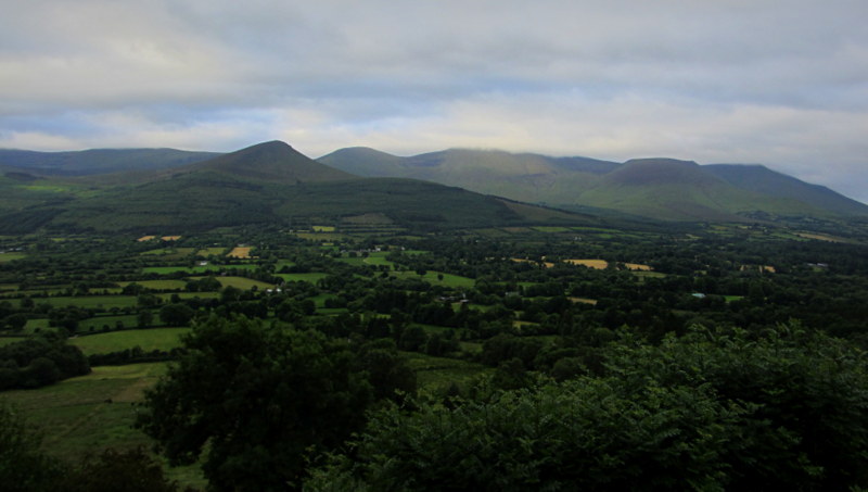
Galtee View
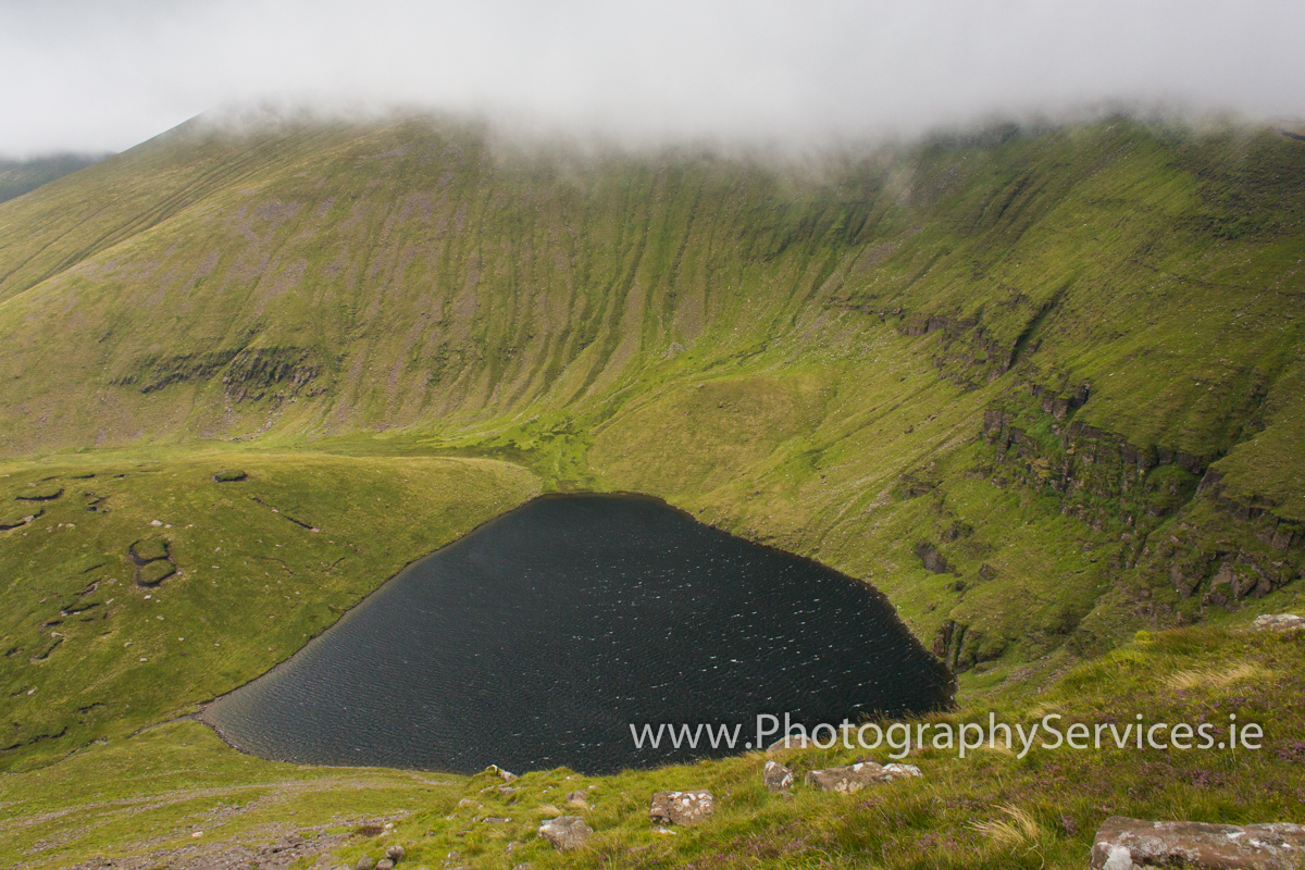
Lough Curra lake in Galty Mountains range
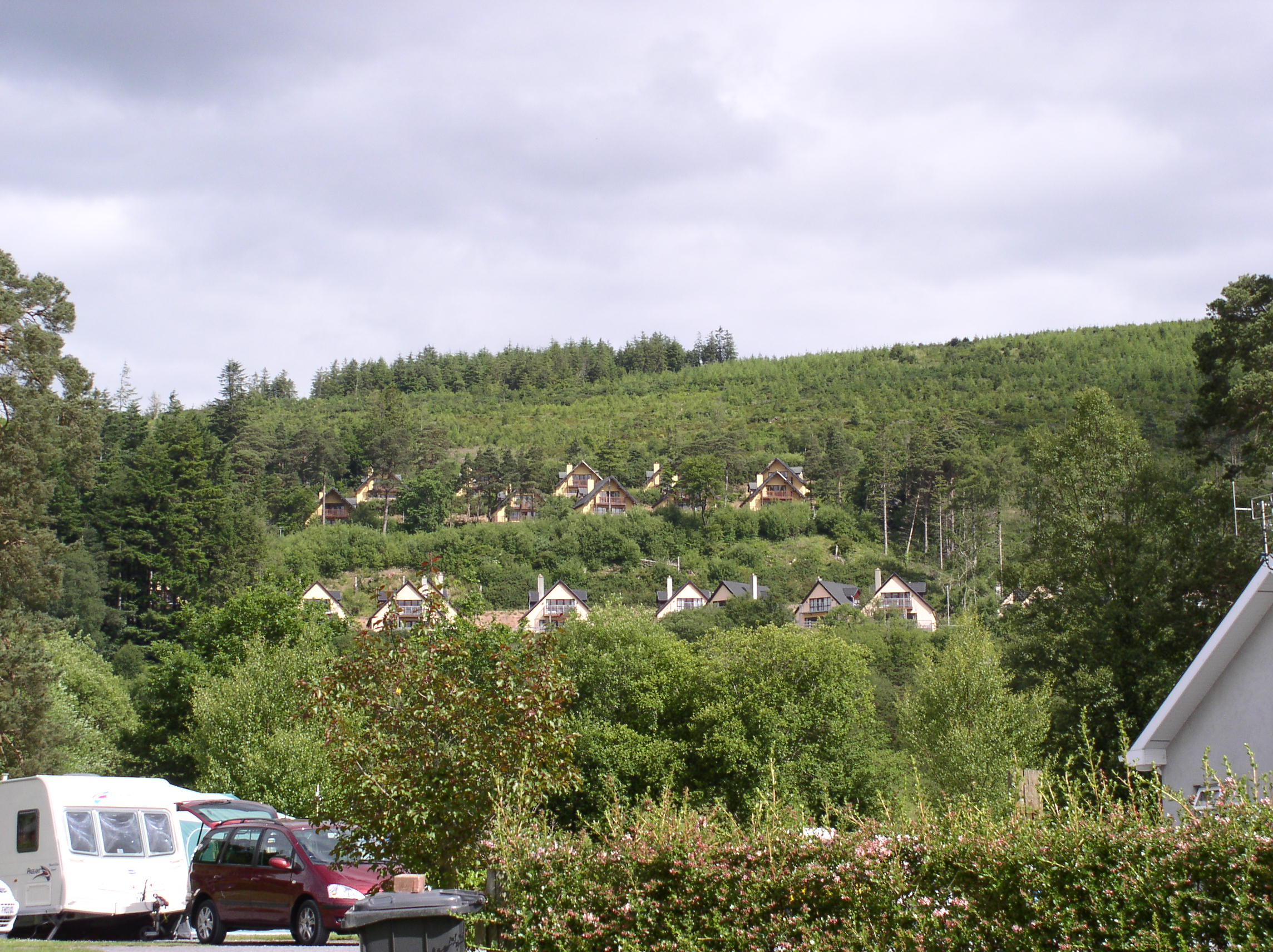
Glen of Aherlow lodges Ireland

View From Top Of Ice House
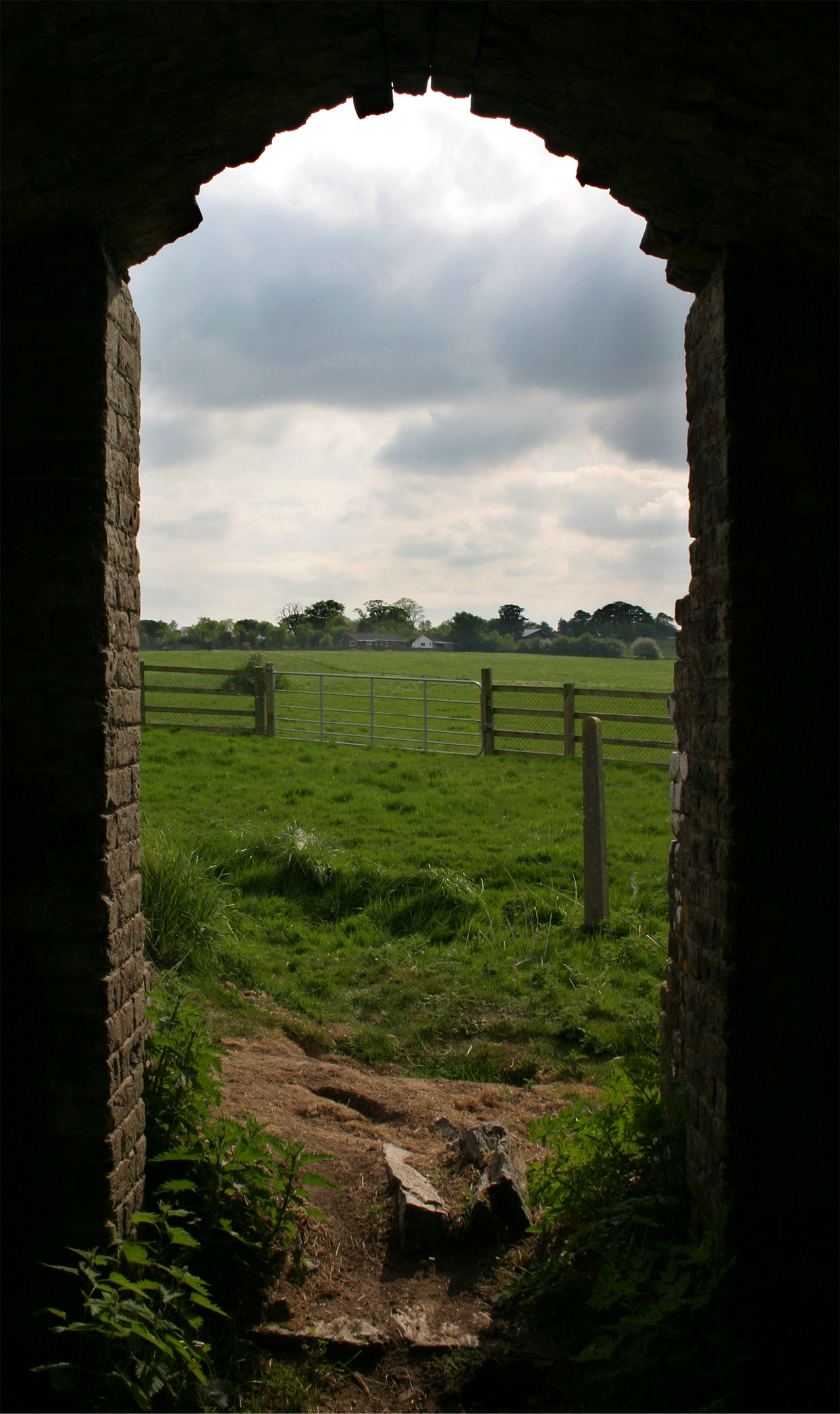
View From Ice House
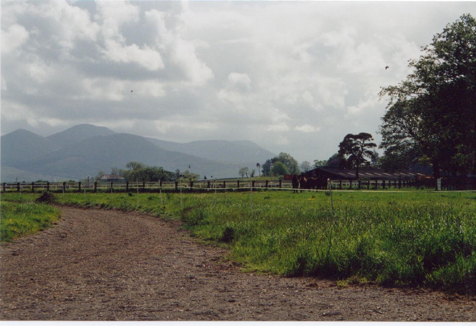
View of the mountains
Topographic Map of Galtymore, Co. Limerick, Ireland
Find elevation by address:

Places near Galtymore, Co. Limerick, Ireland:
Knocknagalty
Tipperary
Tipperary Co-operative Creamery
Town Lot
Tipperary
Ballinwillin
Mitchelstown
Emly
Barranafaddock Wind Farm
Labbanacallee
Barranafaddock
Glenforan
Kilteely-dromkeen
Unnamed Road
Shanacloon
11, Loughkent East, Our lady's Road, Co. Tipperary, E25 H, Ireland
Our Lady's Road
Loughkent East
Churchquarter
Kilcommon National School
Recent Searches:
- Elevation of Corso Fratelli Cairoli, 35, Macerata MC, Italy
- Elevation of Tallevast Rd, Sarasota, FL, USA
- Elevation of 4th St E, Sonoma, CA, USA
- Elevation of Black Hollow Rd, Pennsdale, PA, USA
- Elevation of Oakland Ave, Williamsport, PA, USA
- Elevation of Pedrógão Grande, Portugal
- Elevation of Klee Dr, Martinsburg, WV, USA
- Elevation of Via Roma, Pieranica CR, Italy
- Elevation of Tavkvetili Mountain, Georgia
- Elevation of Hartfords Bluff Cir, Mt Pleasant, SC, USA