Elevation of Gadhinglaj, Maharashtra, India
Location: India > Maharashtra > Kolhapur >
Longitude: 74.3499691
Latitude: 16.226445
Elevation: 650m / 2133feet
Barometric Pressure: 94KPa
Elevation Map:
Satellite Map:
Related Photos:
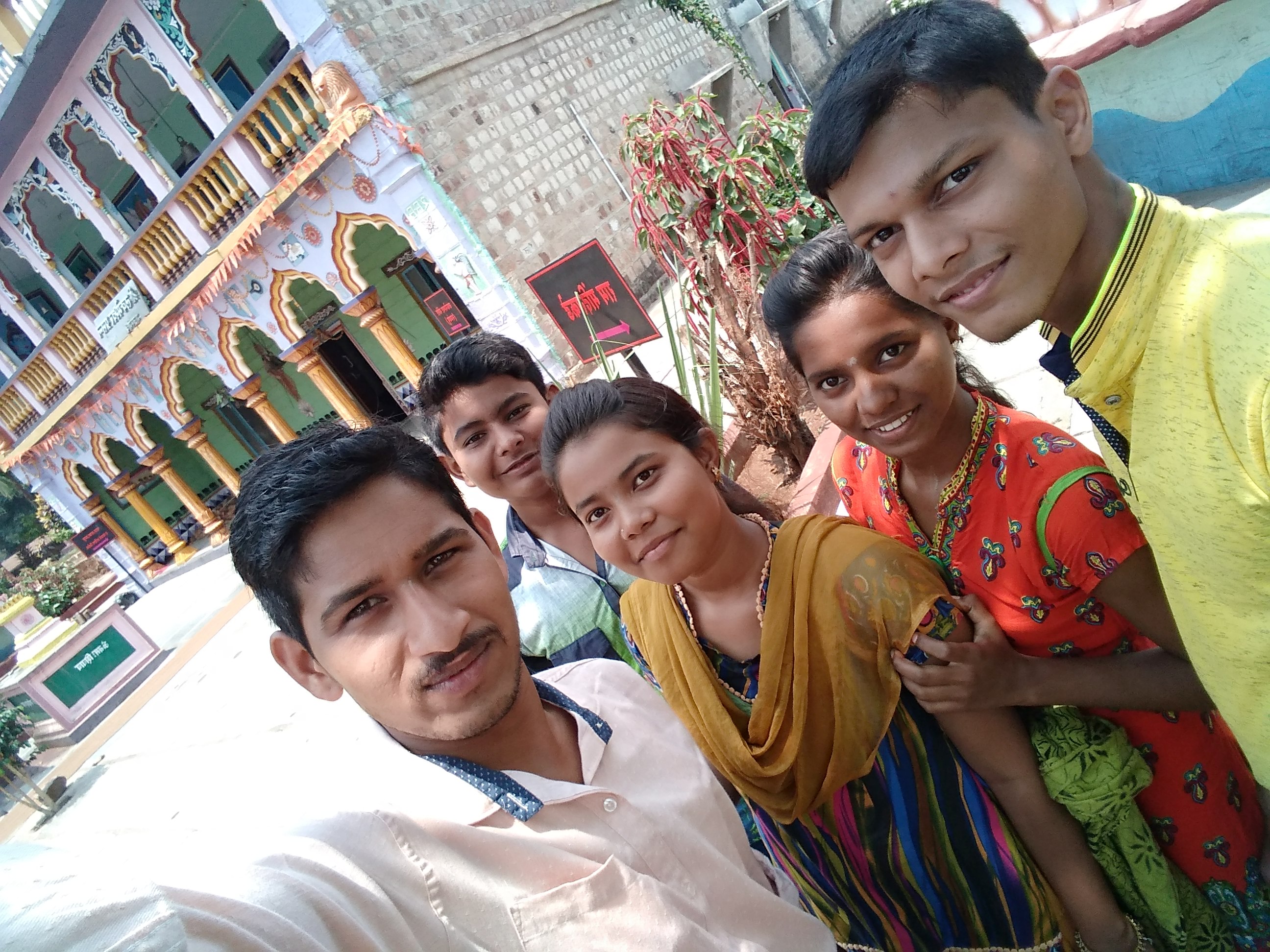
My fnds

My fnds

Lecture on National Science Day at Nool, Kowad, Kolhapur for student & teachers. All Lectures since 26-02-2016 are organised by Marathi Vidnyan Parishad, Gadhinglaj

Lecture on National Science Day at Nool, Kowad, Kolhapur for student & teachers. All Lectures since 26-02-2016 are organised by Marathi Vidnyan Parishad, Gadhinglaj

Lecture on National Science Day at Nool, Kowad, Kolhapur for student & teachers. All Lectures since 26-02-2016 are organised by Marathi Vidnyan Parishad, Gadhinglaj

Lecture on National Science Day as Chief Guest for prize distribution at Gadhinglaj Nagarparishad. All Lectures since 26-02-2016 are organised by Marathi Vidnyan Parishad, Gadhinglaj

Lecture on National Science Day as Chief Guest for prize distribution at Gadhinglaj Nagarparishad. All Lectures since 26-02-2016 are organised by Marathi Vidnyan Parishad, Gadhinglaj
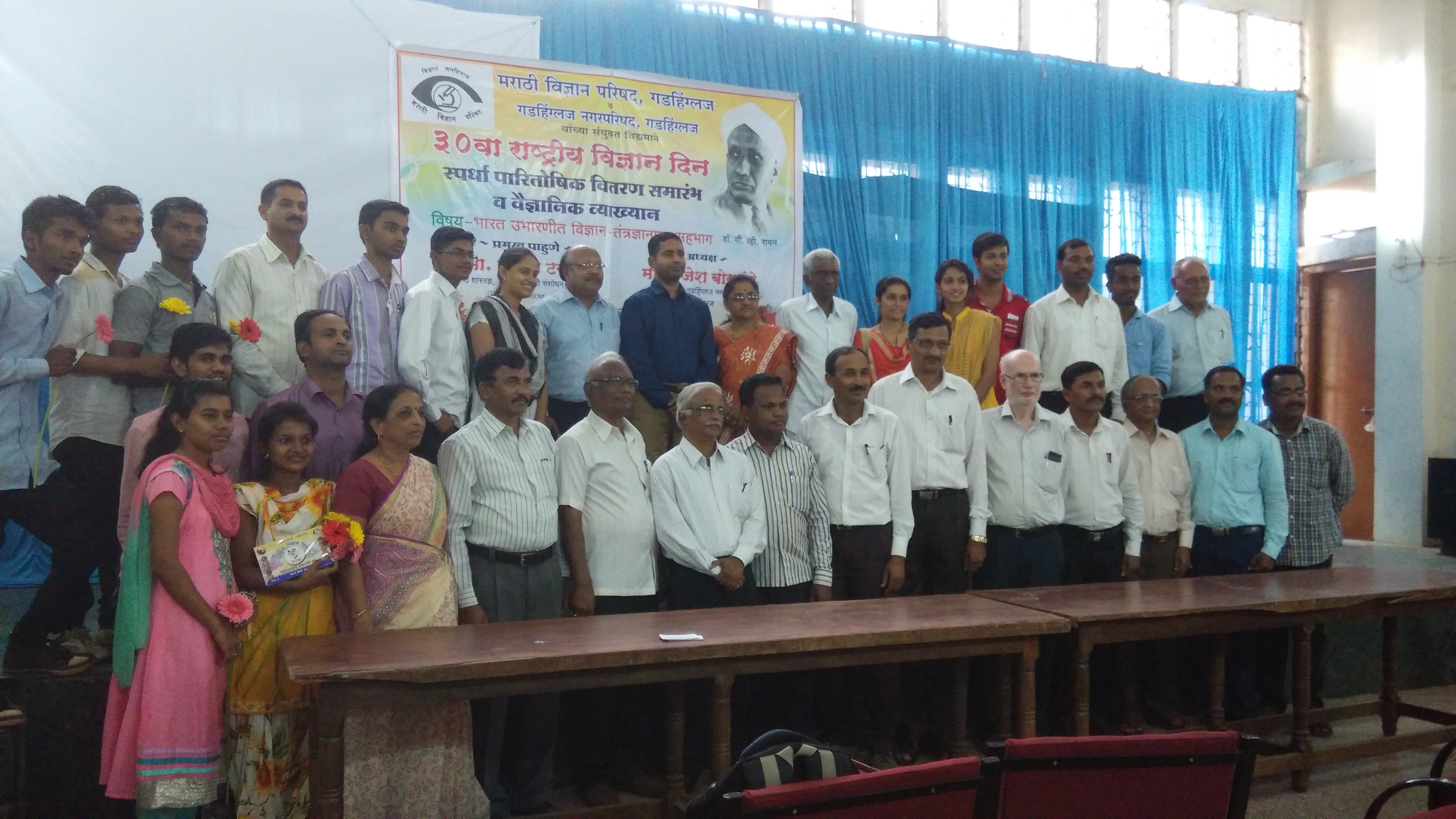
Lecture on National Science Day as Chief Guest for prize distribution at Gadhinglaj Nagarparishad. All Lectures since 26-02-2016 are organised by Marathi Vidnyan Parishad, Gadhinglaj

Lecture on National Science Day as Chief Guest for prize distribution at Gadhinglaj Nagarparishad. All Lectures since 26-02-2016 are organised by Marathi Vidnyan Parishad, Gadhinglaj
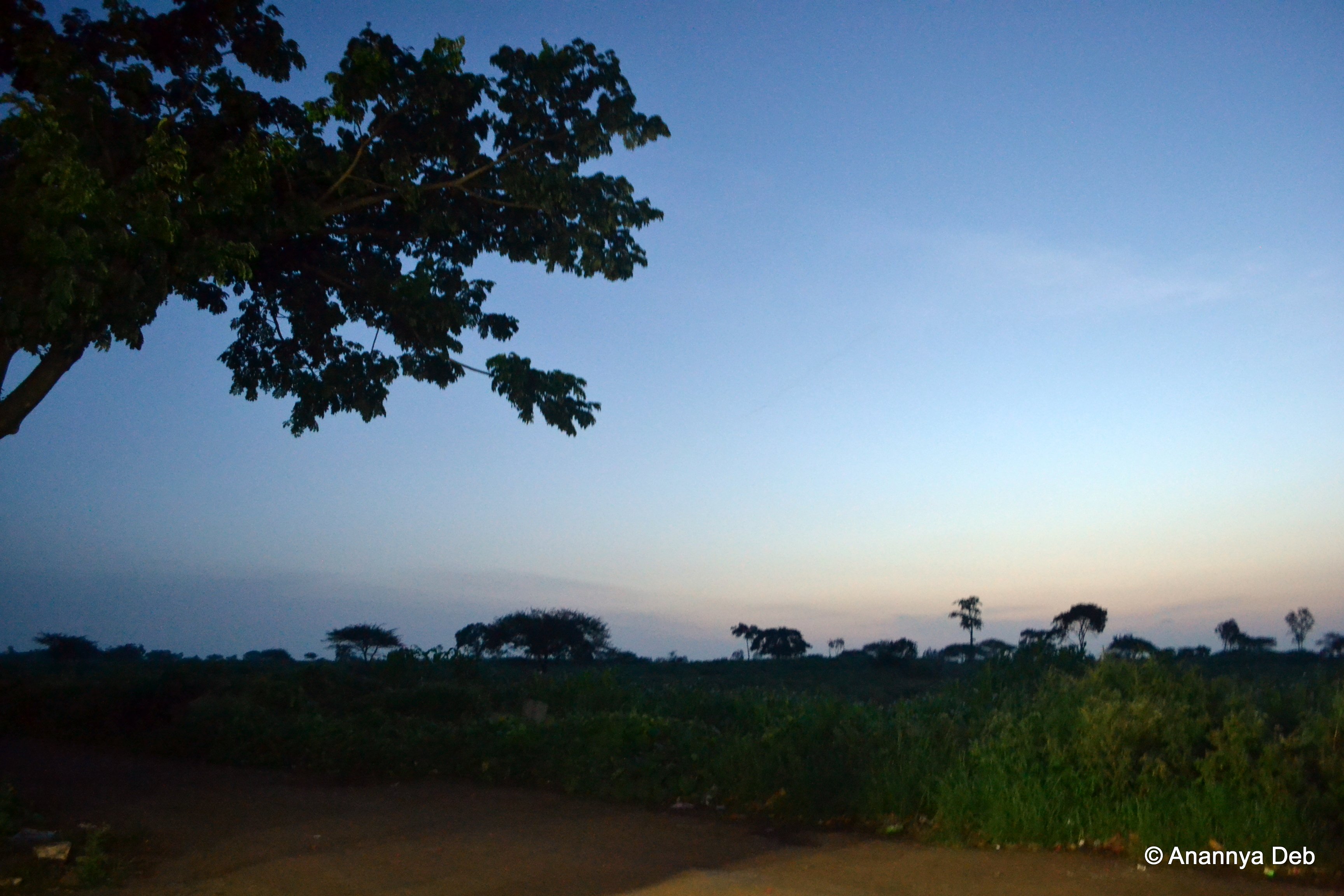
NH4 turning to Amboli Ghat, September 2012

Driving from Bombay to Goa, September 2012

Driving from Bombay to Goa, September 2012

Mumbai to Goa, September 2012
Topographic Map of Gadhinglaj, Maharashtra, India
Find elevation by address:

Places in Gadhinglaj, Maharashtra, India:
Places near Gadhinglaj, Maharashtra, India:
Anand Vihar
Doctor's Colony
Gurav Colony
Ayodhya Nagar
K.d.c.c Bank Colony
Gijawane
Bhadgaon
Lingnoor K Nool
Vadarage
Bekanal
Aurnal
Hunginhal Bus Stop
Jarali
Mahavitaran,33/11 K.v Substation M.i.d.c Gadhinglaj.
Badyachiwadi
Dundage
Belgundi
Shendri
Kadgaon
Atyal
Recent Searches:
- Elevation of SW Elderview Dr, Sherwood, OR, USA
- Elevation of Hickory St, Greenville, NC, USA
- Elevation of Poplar Ln, Guffey, CO, USA
- Elevation of Falling Spring Rd, Clyde, NC, USA
- Elevation of Kingsfield St, Castle Rock, CO, USA
- Elevation of AMELIA CT HSE, VA, USA
- Elevation of Abbey Dr, Virginia Beach, VA, USA
- Elevation of Brooks Lp, Spearfish, SD, USA
- Elevation of Panther Dr, Maggie Valley, NC, USA
- Elevation of Jais St - Wadi Shehah - Ras al Khaimah - United Arab Emirates