Elevation of GA-, Midville, GA, USA
Location: United States > Georgia > Emanuel County > Midville >
Longitude: -82.240041
Latitude: 32.921239
Elevation: 91m / 299feet
Barometric Pressure: 100KPa
Elevation Map:
Satellite Map:
Related Photos:
IMG_0881

New photo added to "All Photos"
New photo added to "All Photos"

Jeremy Harkins

Tundra Swan 12/07/14

Tundra Goose 12/07/14 Magruder Rd. Burke Co, GA

iphone 070513 001

iphone 070513 002
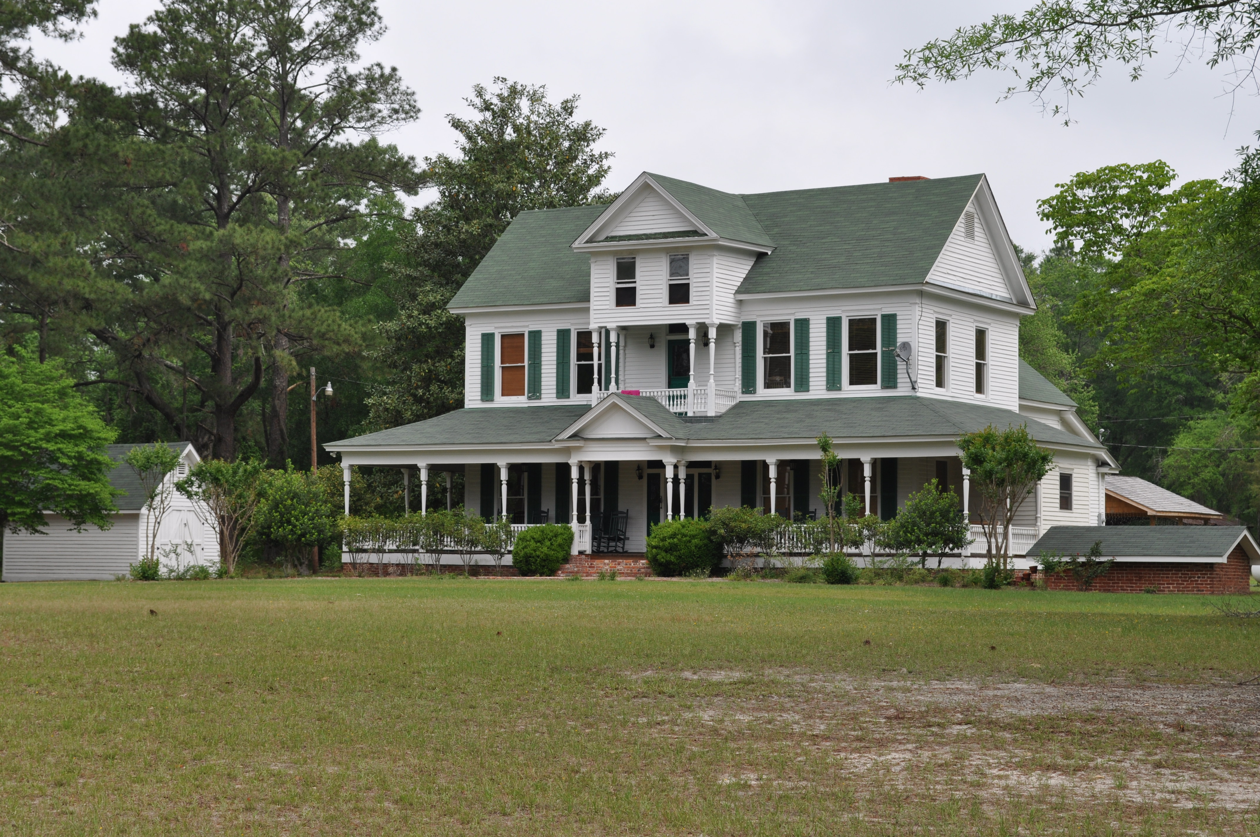
Midville, Ga
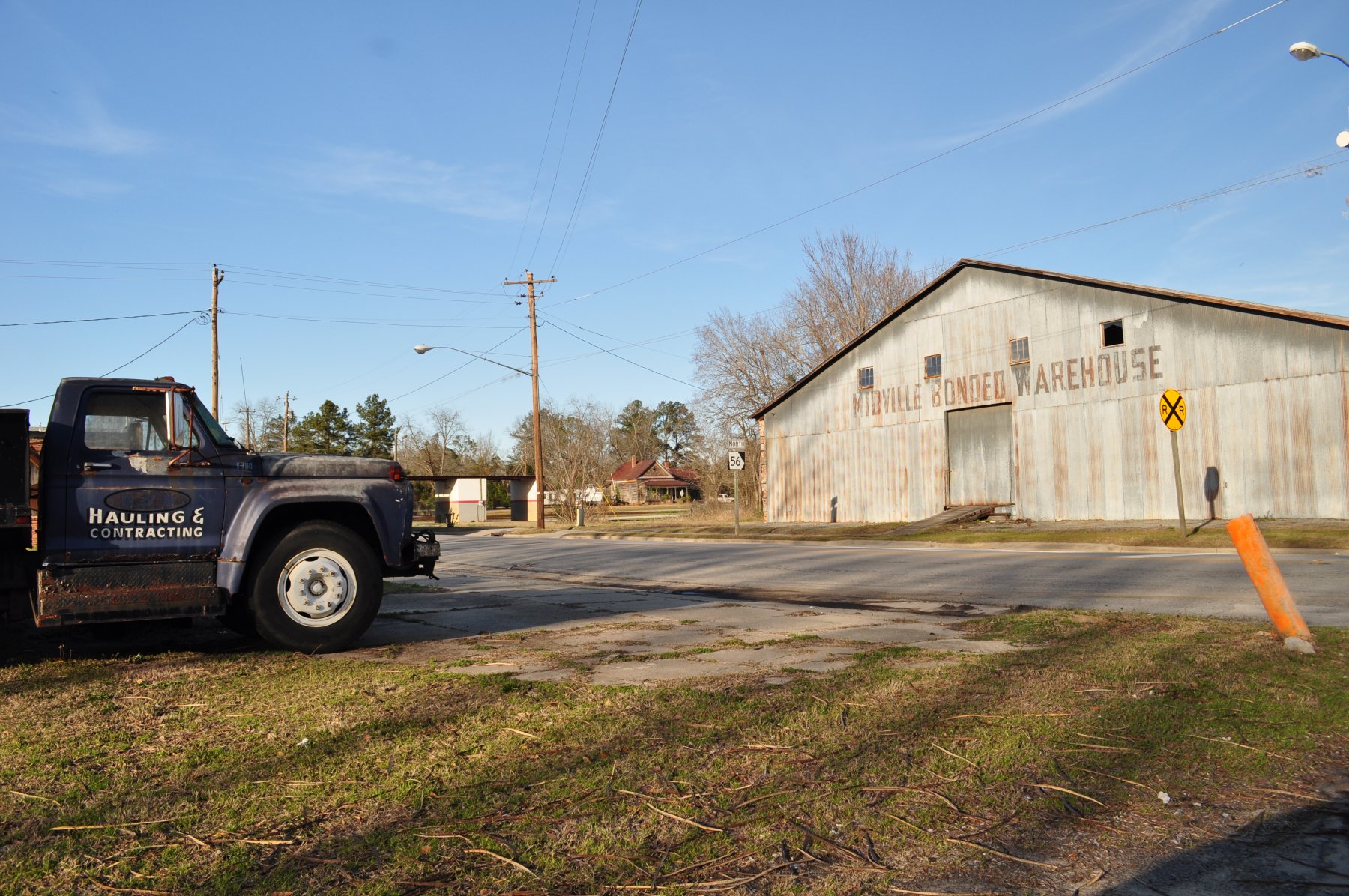
Midville, Ga
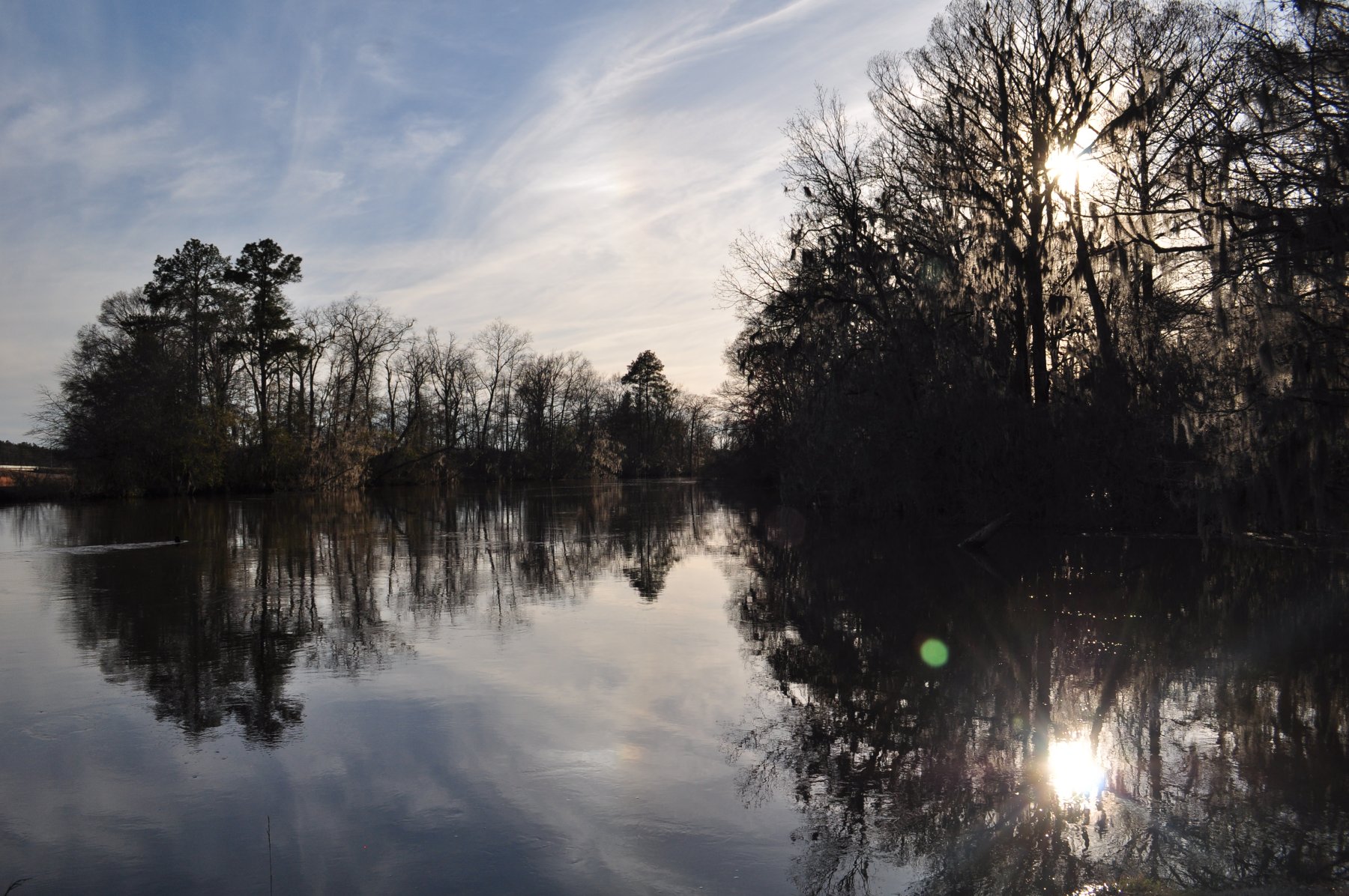
Ogeechee River at Midville
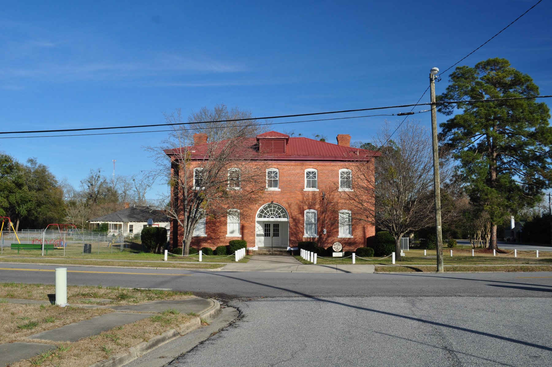
Midville, Ga

Wadley, Georgia
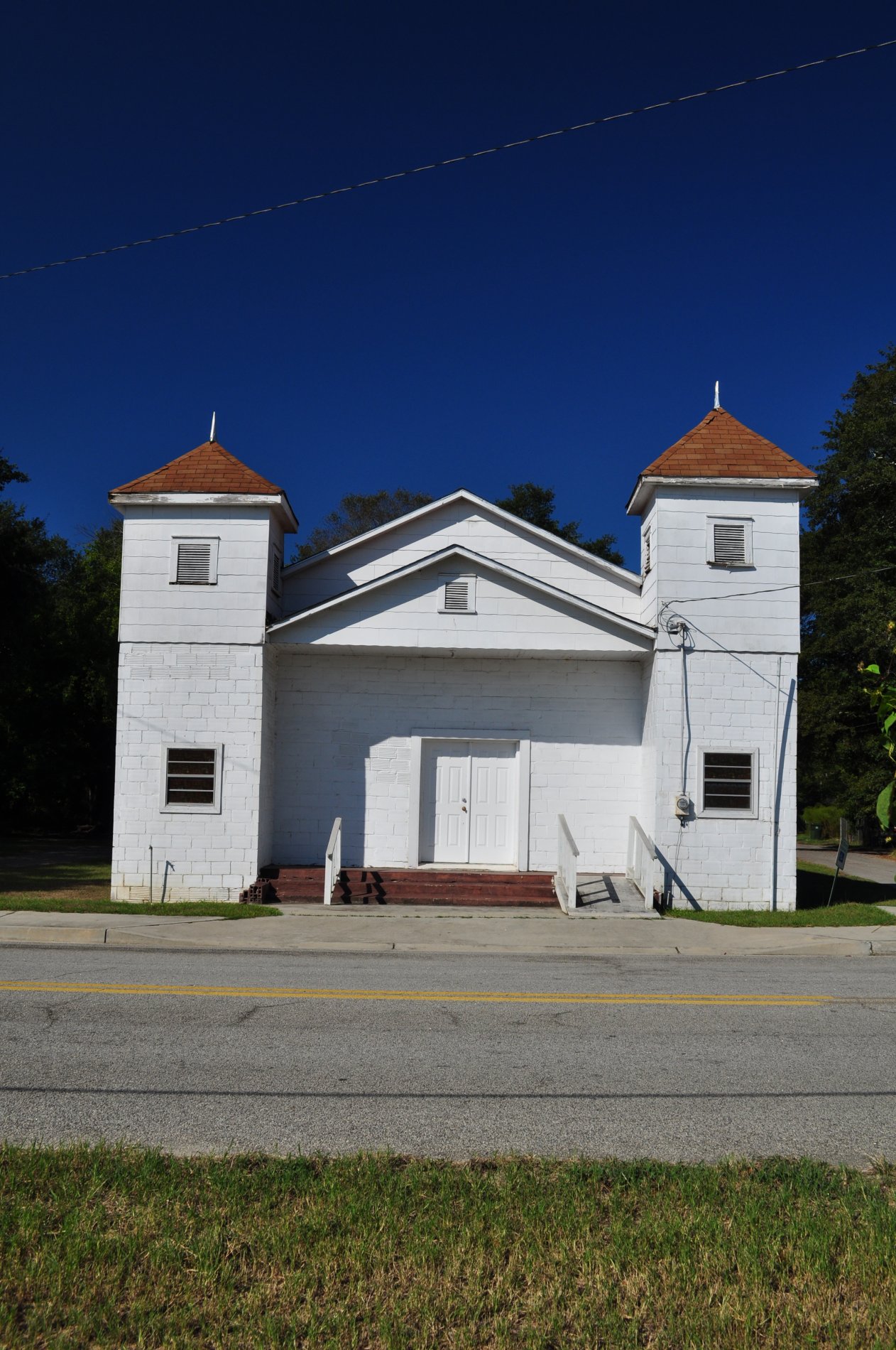
Church, Wadley, Georgia
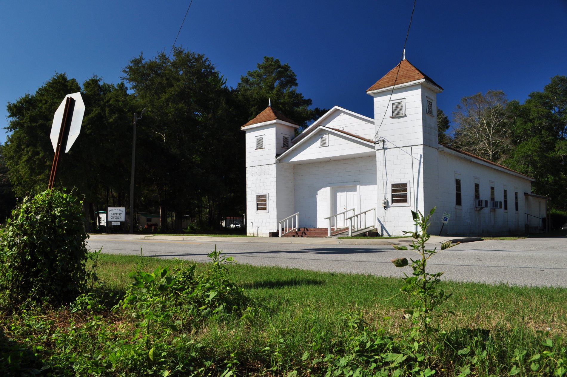
Church, Wadley, Georgia

Midville Night
0903 Cypress Inn Img_4955
Mount Olive
Mount Olive
Mount Olive

DEA Class of 1999

There's Shrimp in Them There Waters
Topographic Map of GA-, Midville, GA, USA
Find elevation by address:

Places near GA-, Midville, GA, USA:
GA-, Louisville, GA, USA
GA-56, Midville, GA, USA
318 Ga-17
Midville
GA-, Louisville, GA, USA
Vidette
Covena Rd, Midville, GA, USA
S Herndon Rd, Millen, GA, USA
GA-24, Waynesboro, GA, USA
Mole Rd, Wadley, GA, USA
Fendig St, Keysville, GA, USA
Wadley
Summertown
72 Summertown Main St, Summertown, GA, USA
Huddle House
Louisville
W Broad St, Louisville, GA, USA
Ga-192 & Lawrence Sherrod Rd
Ga-192 & Lawrence Sherrod Rd
Ga-192 & Lawrence Sherrod Rd
Recent Searches:
- Elevation of Rojo Ct, Atascadero, CA, USA
- Elevation of Flagstaff Drive, Flagstaff Dr, North Carolina, USA
- Elevation of Avery Ln, Lakeland, FL, USA
- Elevation of Woolwine, VA, USA
- Elevation of Lumagwas Diversified Farmers Multi-Purpose Cooperative, Lumagwas, Adtuyon, RV32+MH7, Pangantucan, Bukidnon, Philippines
- Elevation of Homestead Ridge, New Braunfels, TX, USA
- Elevation of Orchard Road, Orchard Rd, Marlborough, NY, USA
- Elevation of 12 Hutchinson Woods Dr, Fletcher, NC, USA
- Elevation of Holloway Ave, San Francisco, CA, USA
- Elevation of Norfolk, NY, USA