Elevation of GA-, Lyerly, GA, USA
Location: United States > Georgia >
Longitude: -85.371848
Latitude: 34.3504517
Elevation: 218m / 715feet
Barometric Pressure: 99KPa
Elevation Map:
Satellite Map:
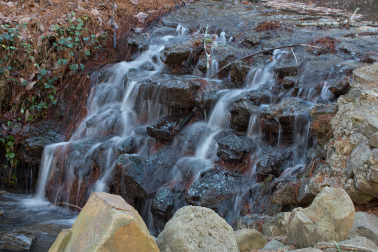
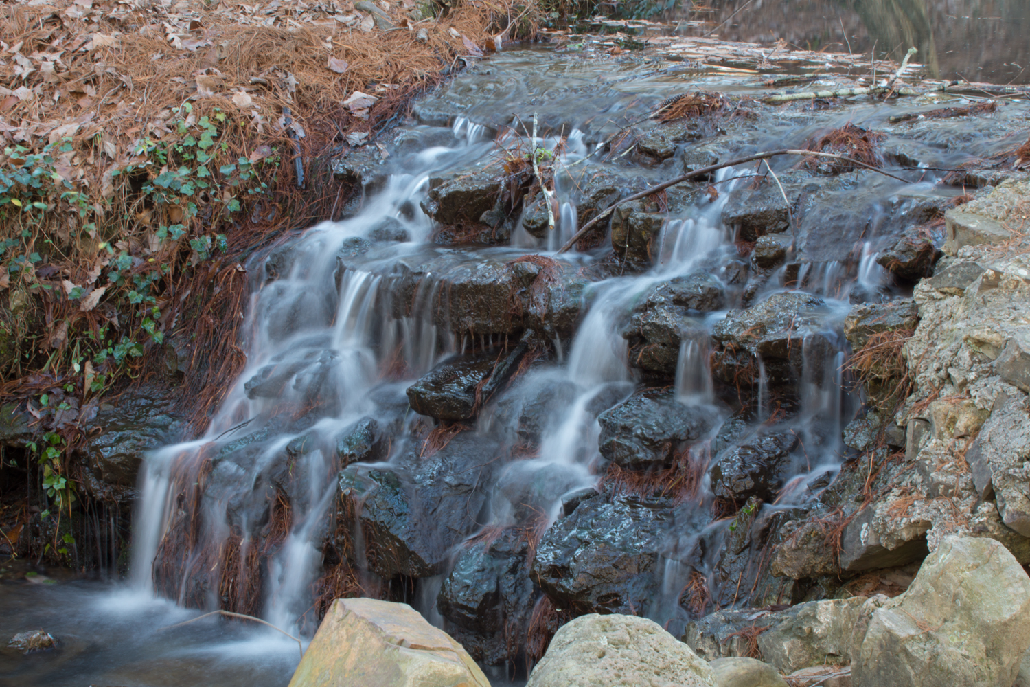
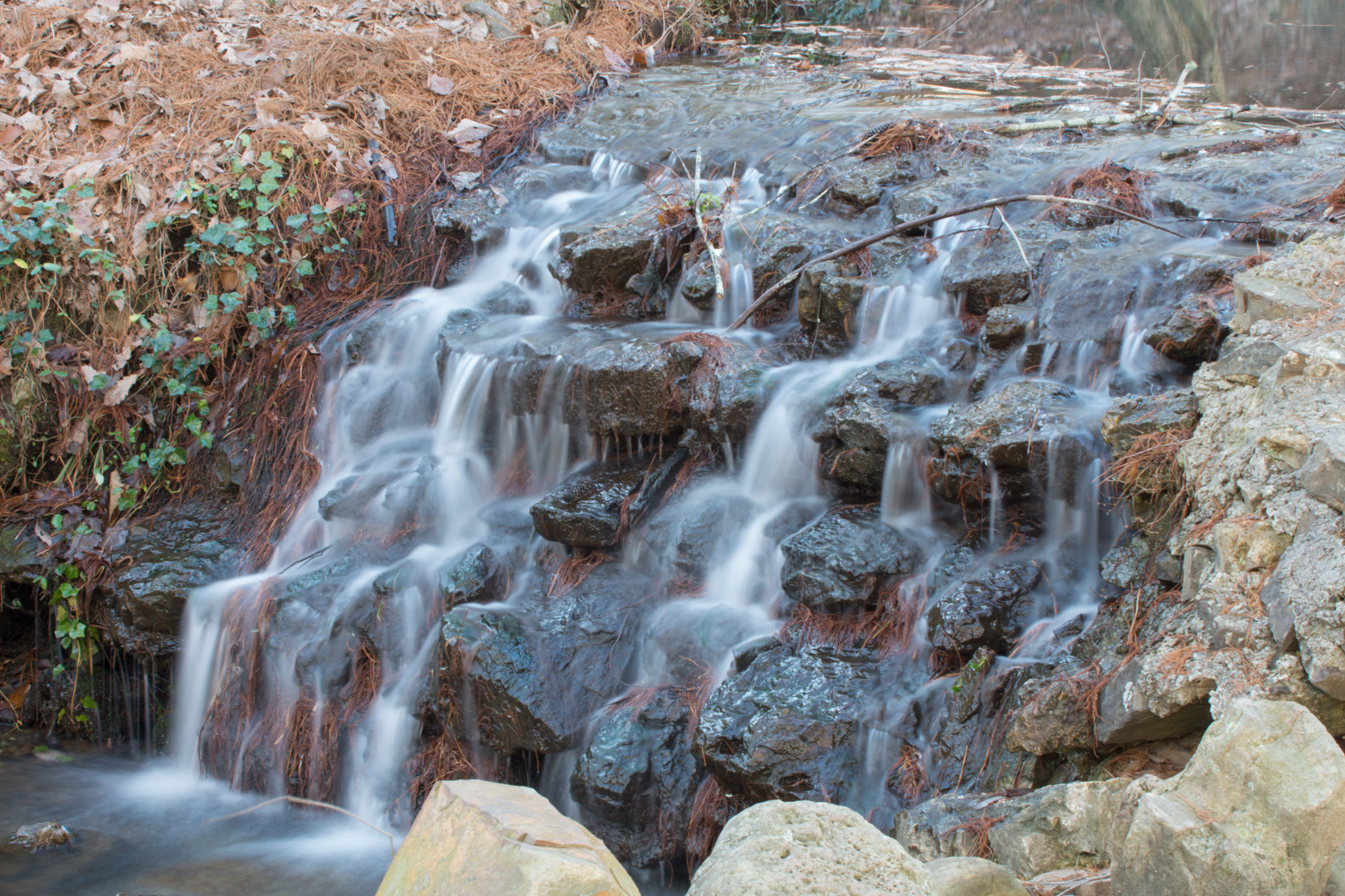
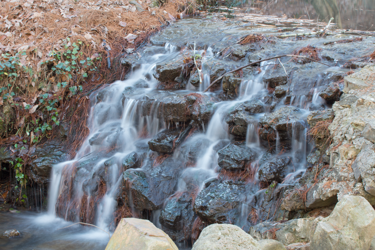
Related Photos:
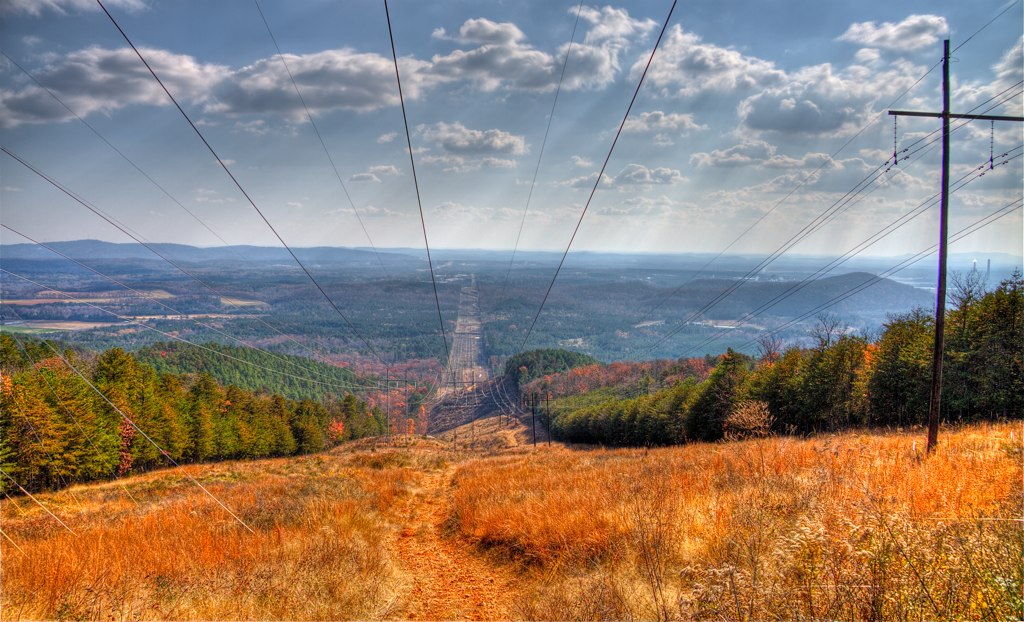
Checking Out the View
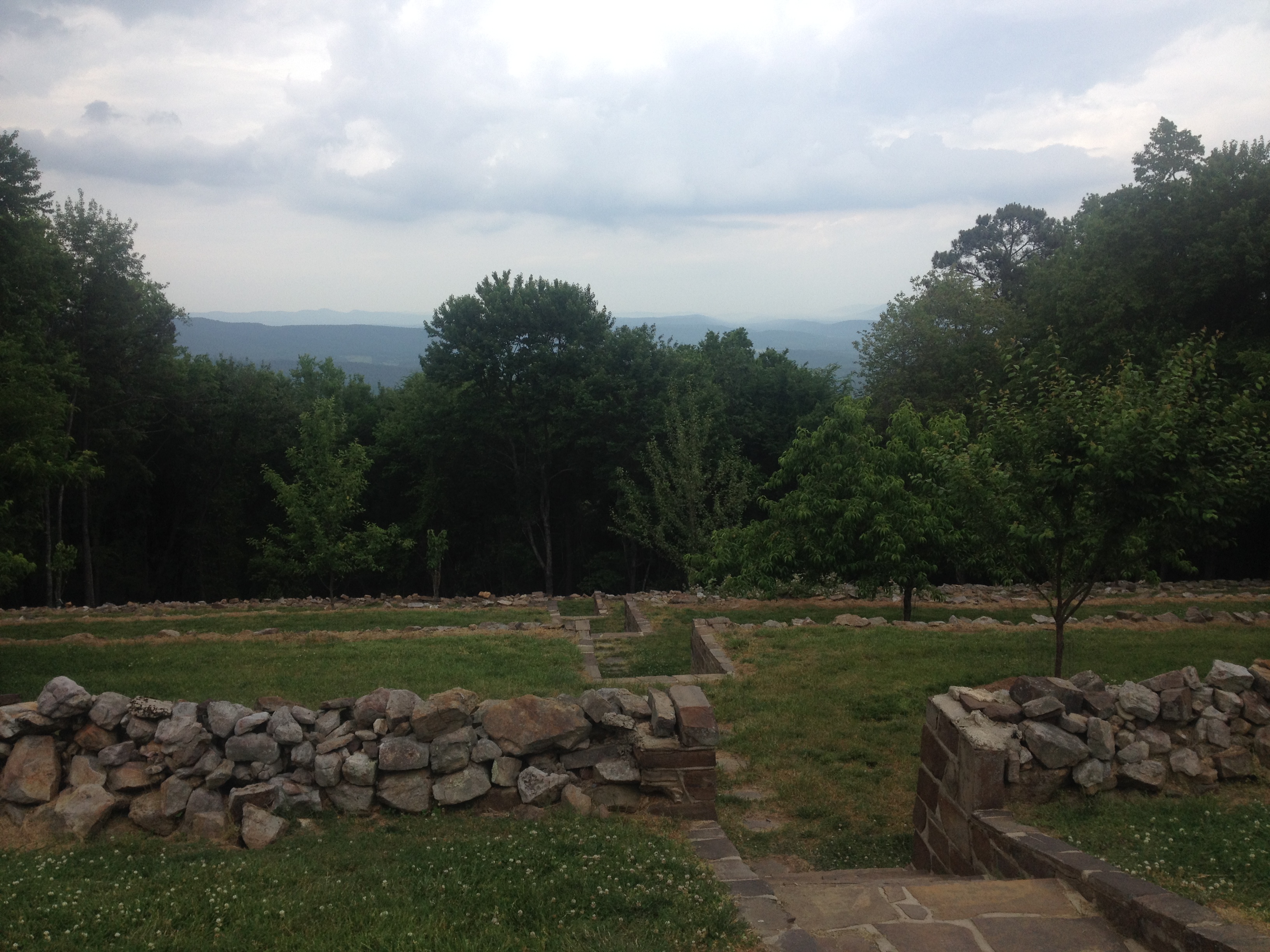
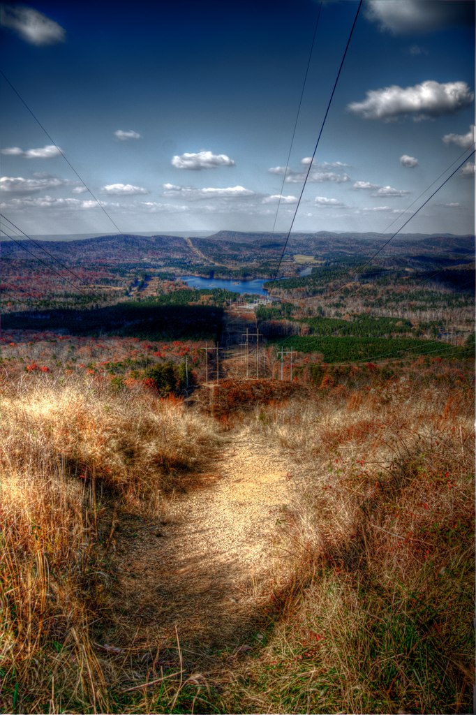
House o Dreams View

Downtown Summerville Georgia
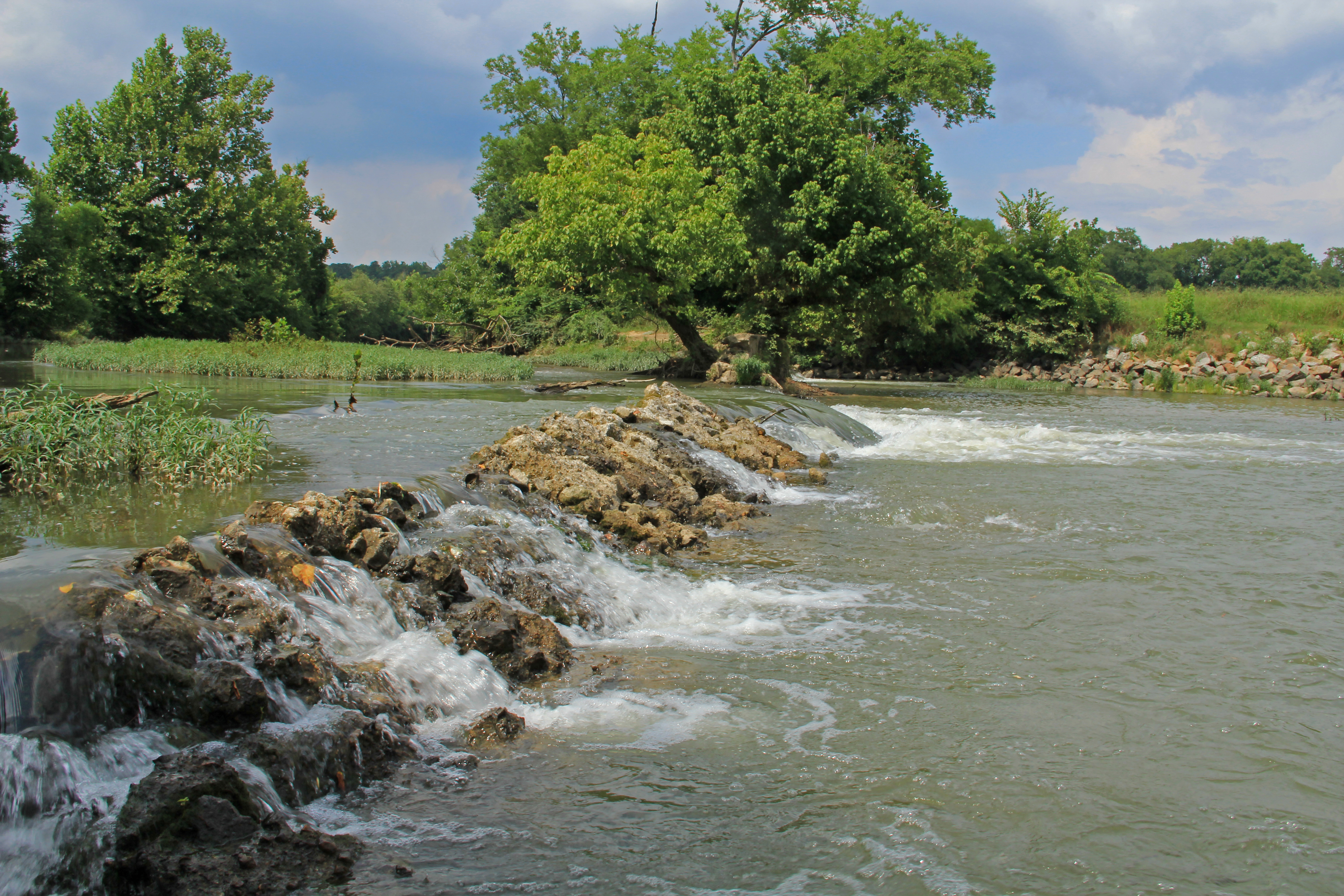
Lyerly Dam, Chattooga River, Lyerly, Chattooga County, Georgia 1
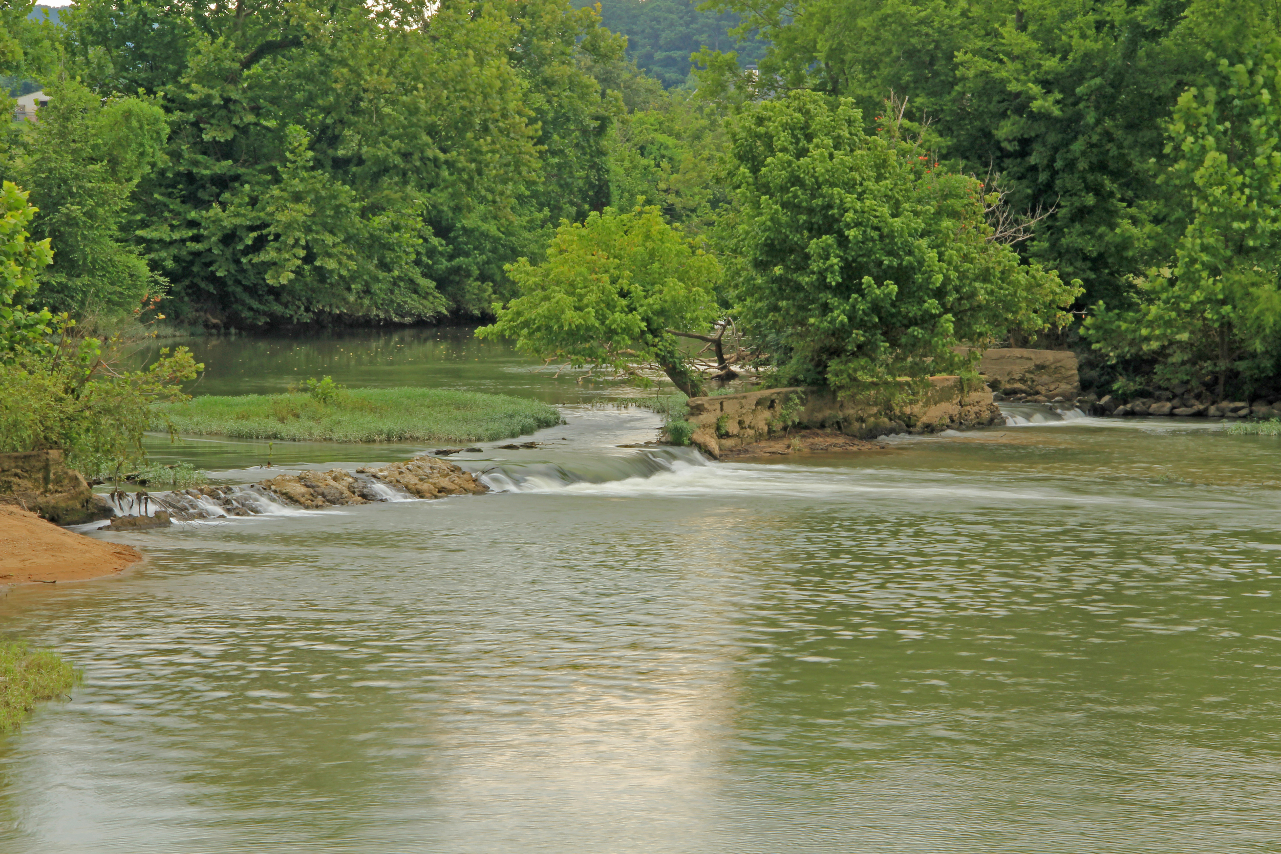
Lyerly Dam, Chattooga River, Lyerly, Chattooga County, Georgia 3

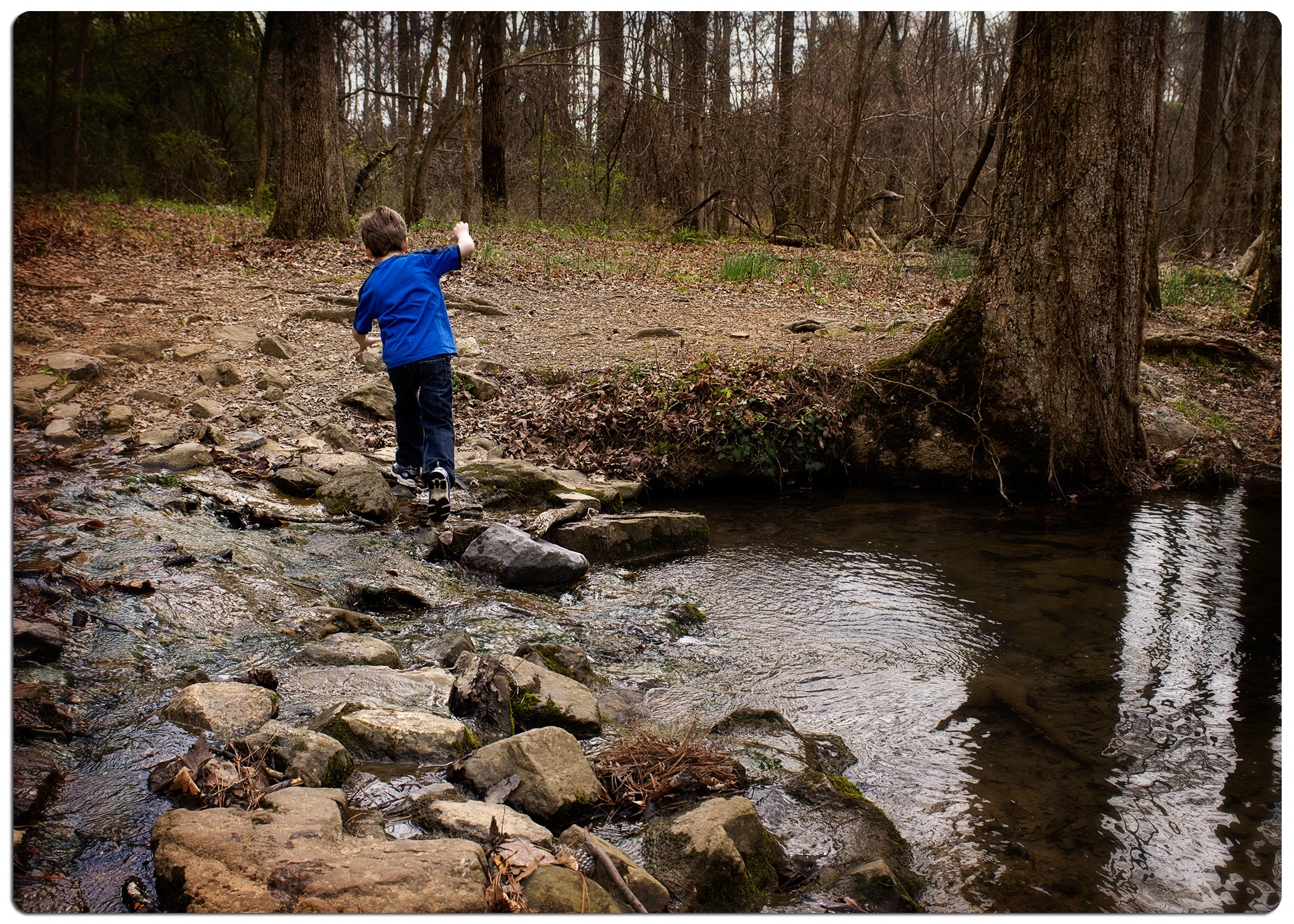
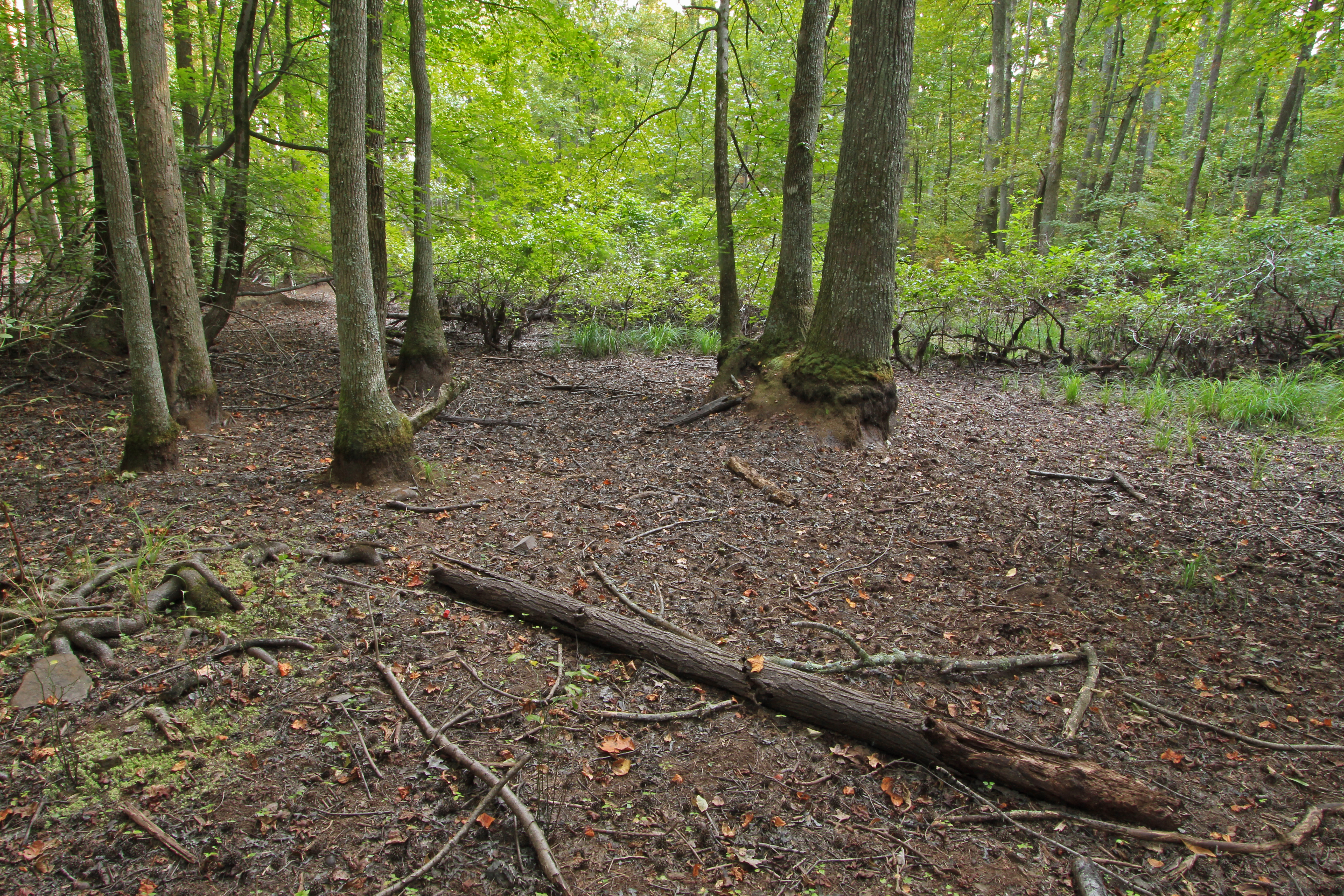
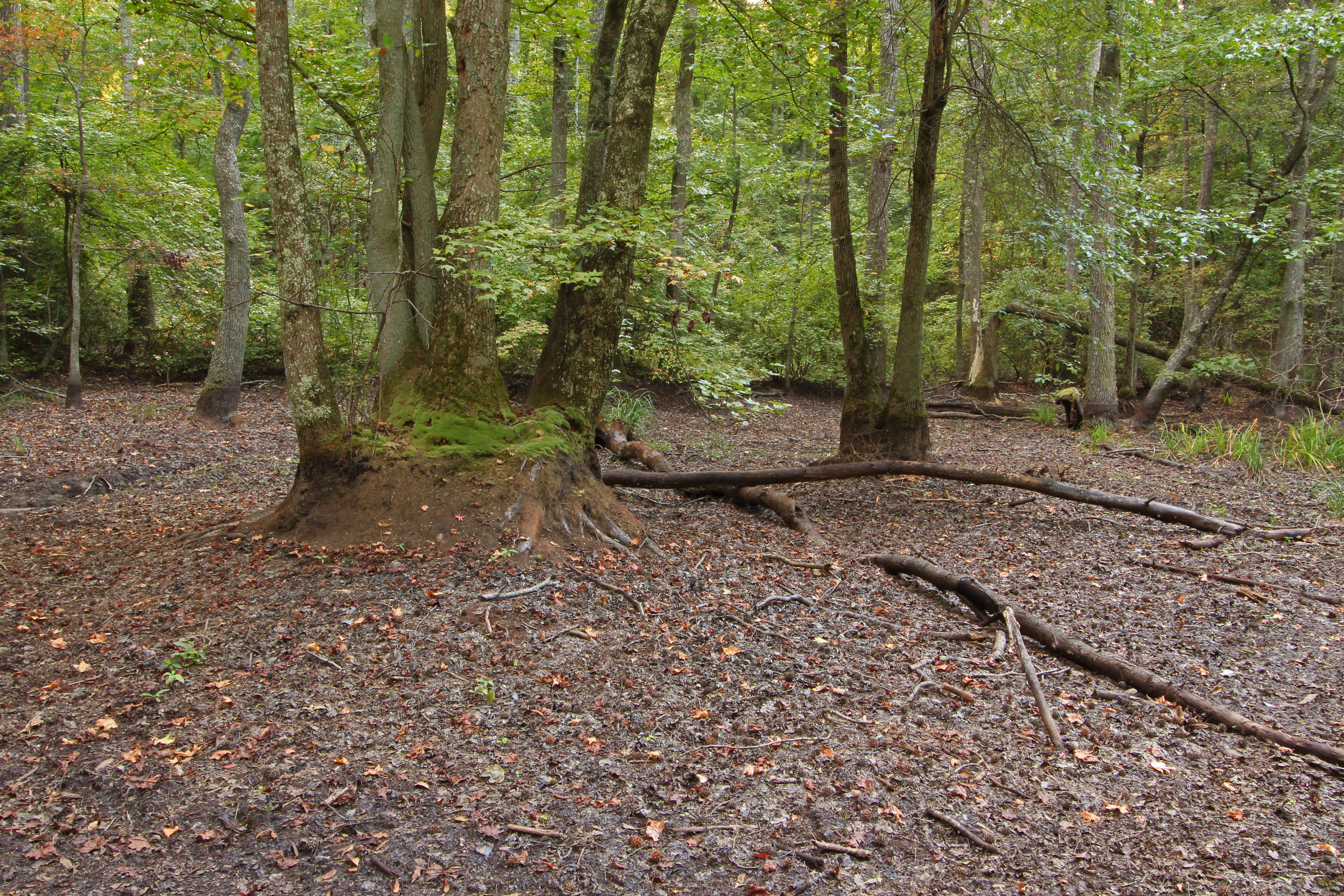
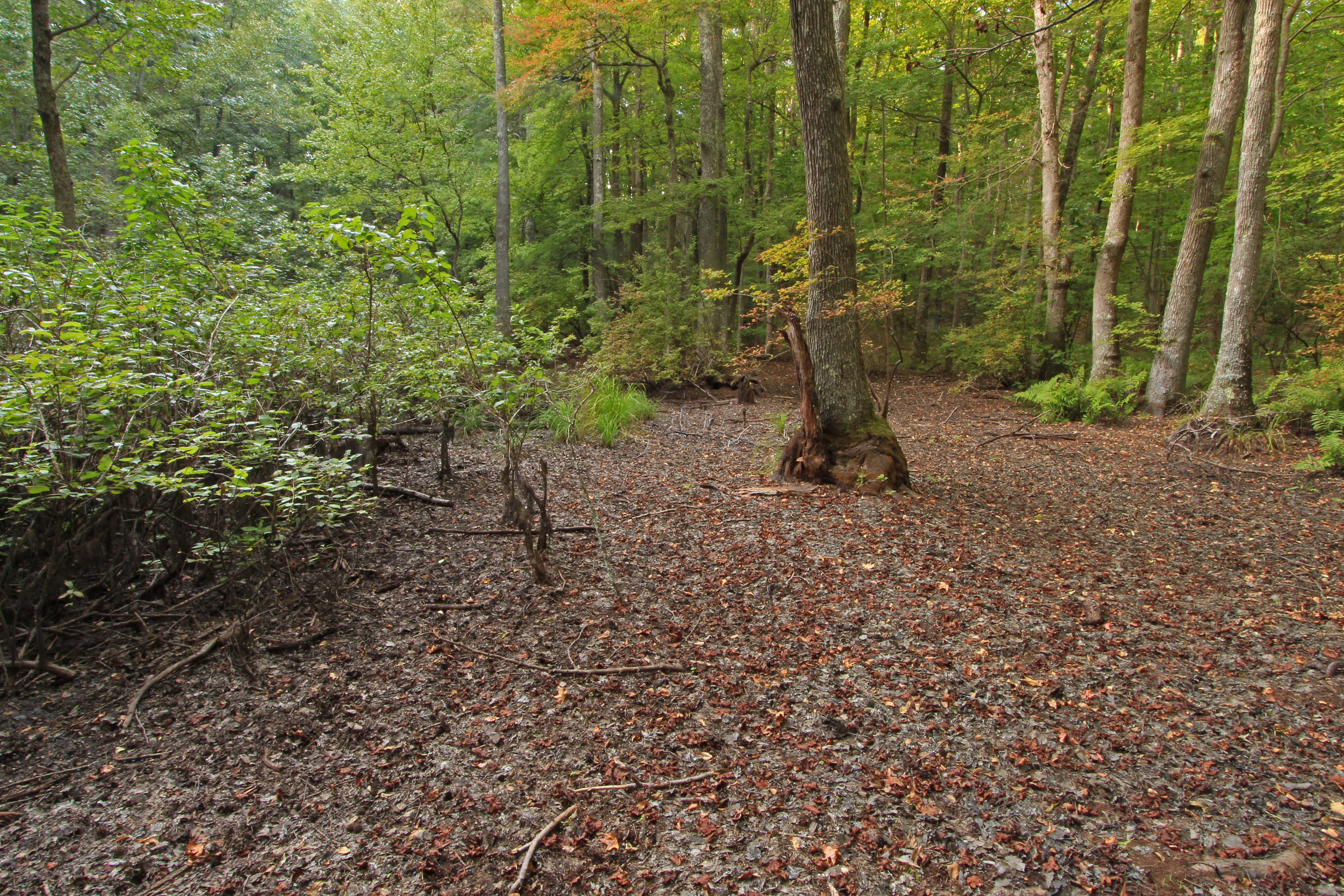
A walk in the pasture 02
Lavender Trail_MG_3829
Lavender Trail 2_MG_3841
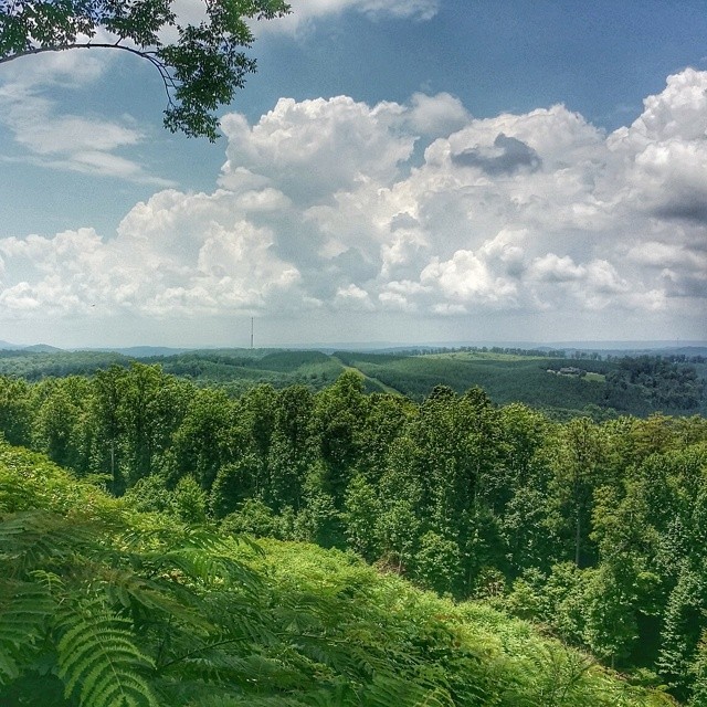
Overlook #thisismyga

Tree In Field IMG_2588
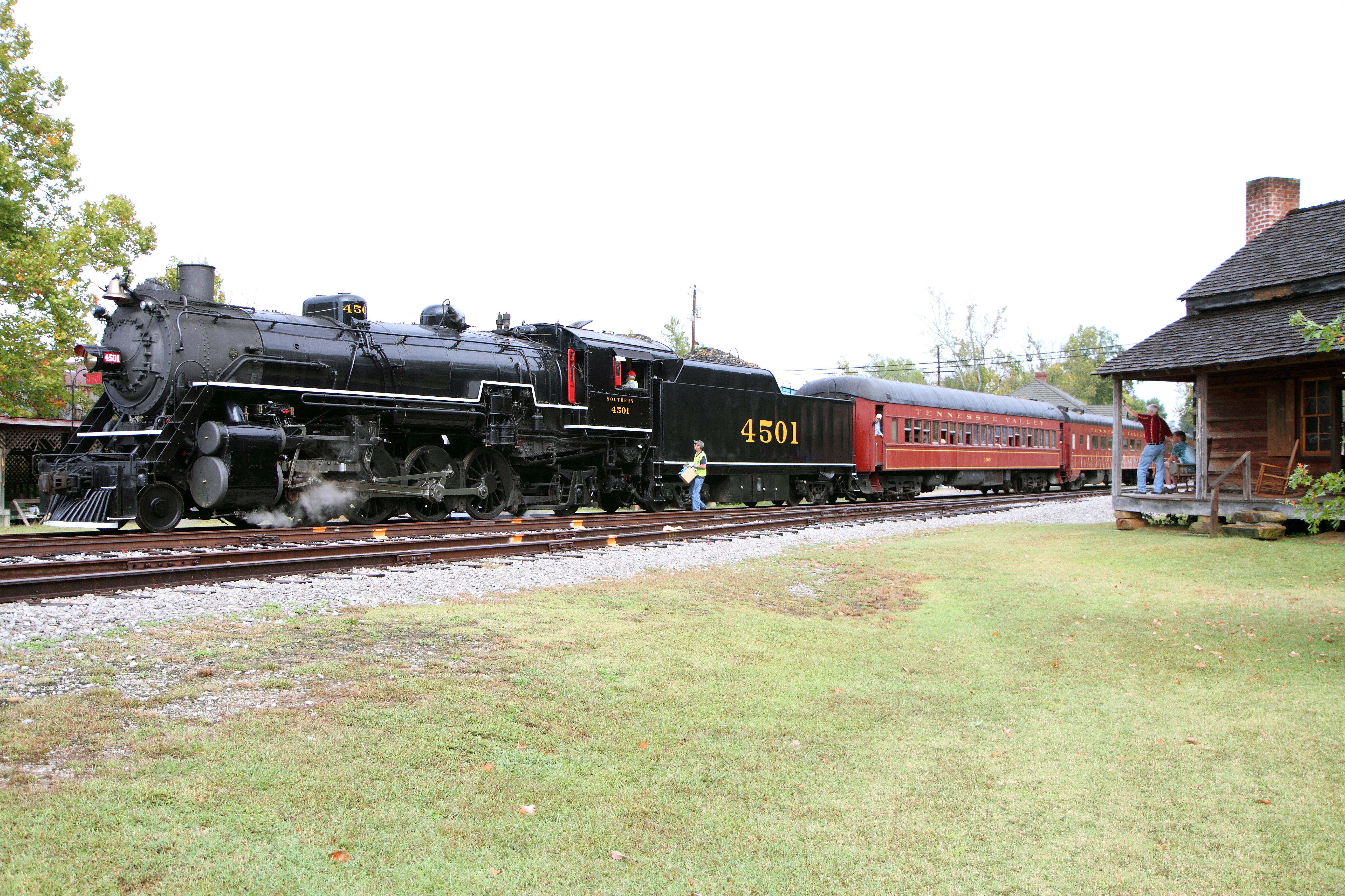
Berry College

Frost Chapel HDR 1
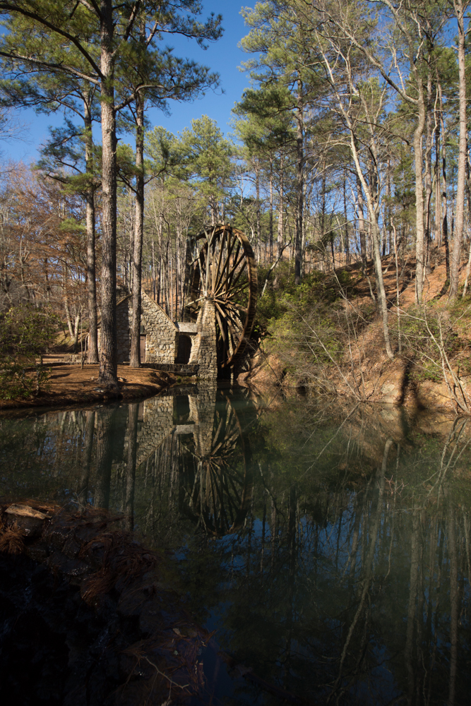
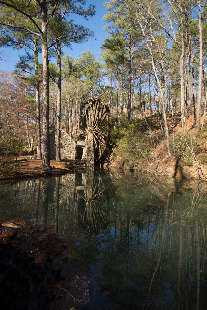
At Old Mill
Berry College
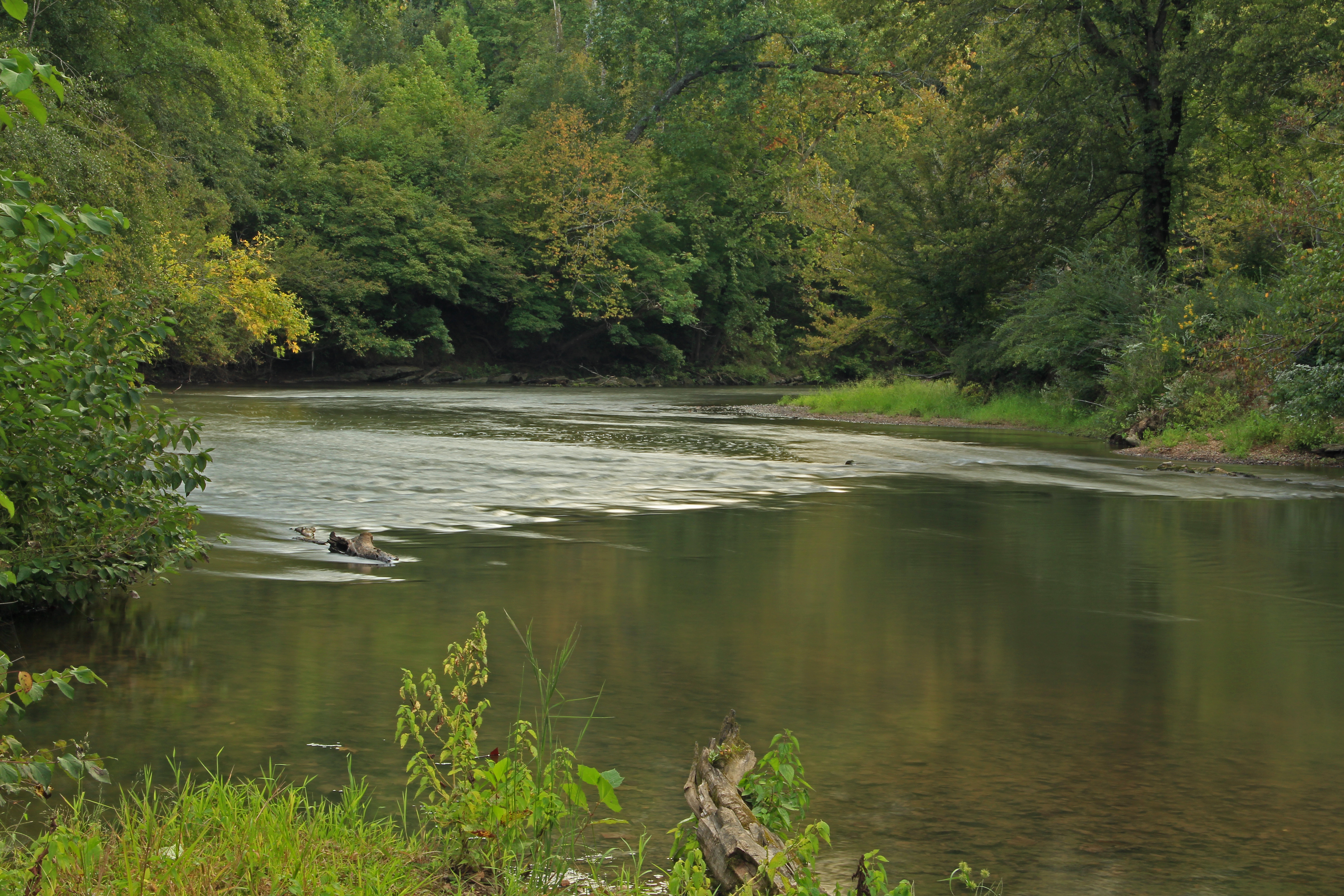
Chattooga River, Chattooga County, Georgia 1
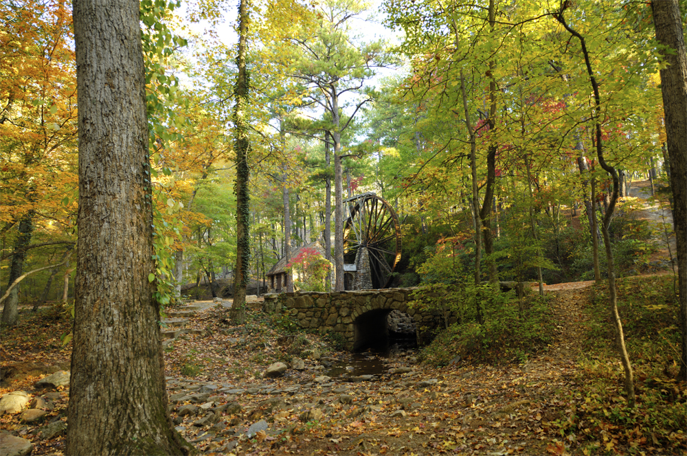
The Mill, Berry College, GA
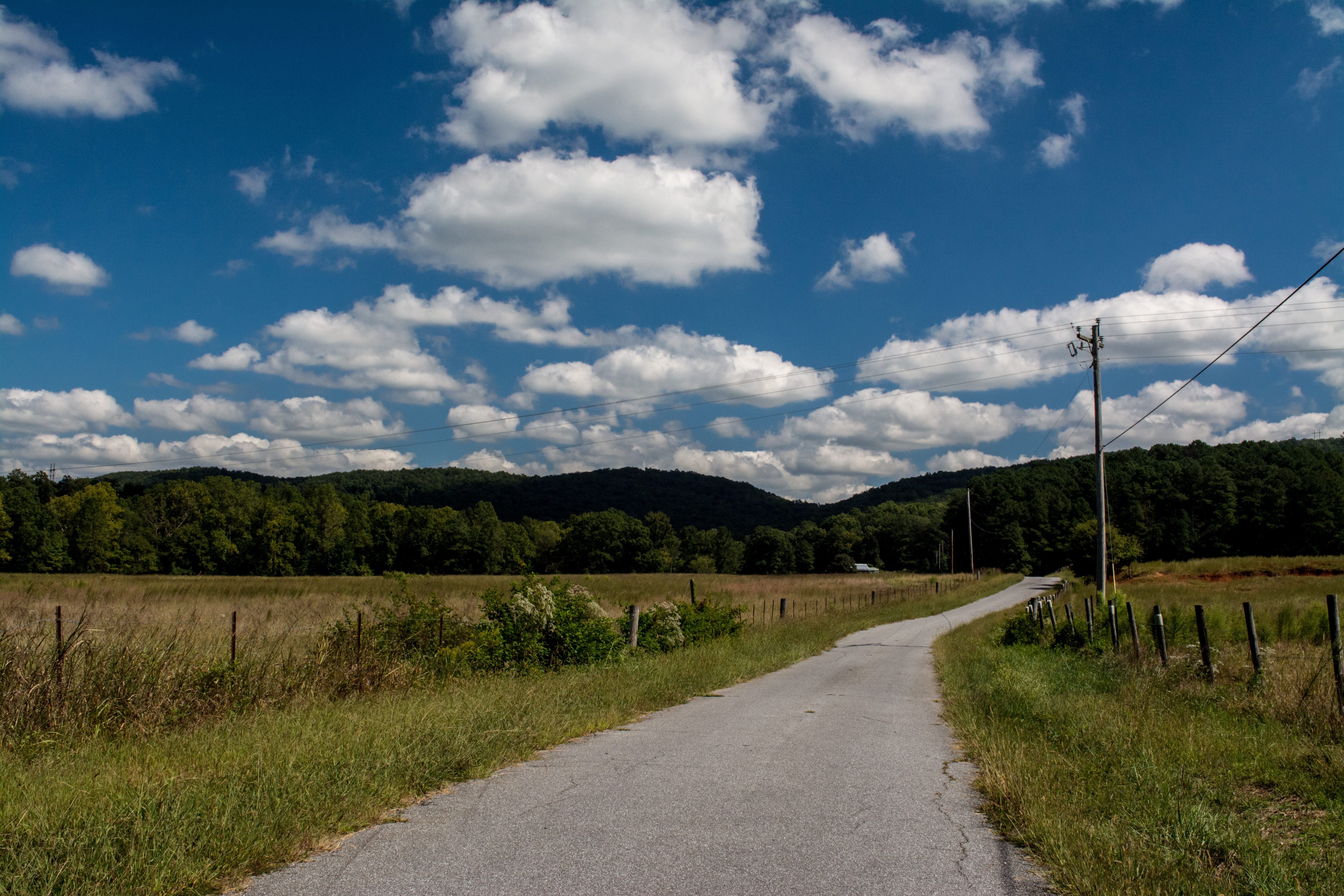
Highway 100 Farm
Bakers Pond, Bogan Mountain, Chattooga County, Georgia 1
Bakers Pond, Bogan Mountain, Chattooga County, Georgia 3
Bakers Pond, Bogan Mountain, Chattooga County, Georgia 4
Berry College
Berry College
Berry College
Berry College
Topographic Map of GA-, Lyerly, GA, USA
Find elevation by address:

Places near GA-, Lyerly, GA, USA:
GA-, Rome, GA, USA
Big Texas Valley Rd NW, Rome, GA, USA
Pearson Rd NW, Rome, GA, USA
Rocky Mountain Recreation & Public Fishing Area
James H Floyd State Park
5504 Big Texas Valley Rd Nw
Technology Pkwy, Rome, GA, USA
3103 Garden Lakes Nw Blvd
847 Unity Church Rd
999 Texas Valley Rd Nw
Floyd County
153 Nelson Blvd Nw
Stonebridge Golf Course
Armuchee
20 North Dr, Armuchee, GA, USA
7 Foliage Way Ne
18 Green Acre Rd NE, Rome, GA, USA
22 Rosedale Rd, Armuchee, GA, USA
203 Broadus Rd Ne
153 Wayside Rd
Recent Searches:
- Elevation of Corso Fratelli Cairoli, 35, Macerata MC, Italy
- Elevation of Tallevast Rd, Sarasota, FL, USA
- Elevation of 4th St E, Sonoma, CA, USA
- Elevation of Black Hollow Rd, Pennsdale, PA, USA
- Elevation of Oakland Ave, Williamsport, PA, USA
- Elevation of Pedrógão Grande, Portugal
- Elevation of Klee Dr, Martinsburg, WV, USA
- Elevation of Via Roma, Pieranica CR, Italy
- Elevation of Tavkvetili Mountain, Georgia
- Elevation of Hartfords Bluff Cir, Mt Pleasant, SC, USA