Elevation of Fv 10, Steinsland, Norway
Location: Norway > Hordaland > Sund >
Longitude: 5.0639244
Latitude: 60.1995451
Elevation: 36m / 118feet
Barometric Pressure: 101KPa
Elevation Map:
Satellite Map:
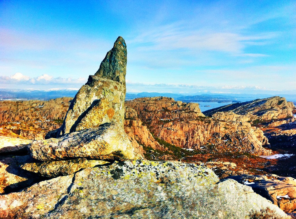
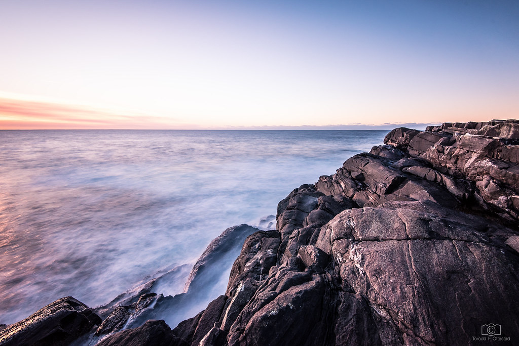
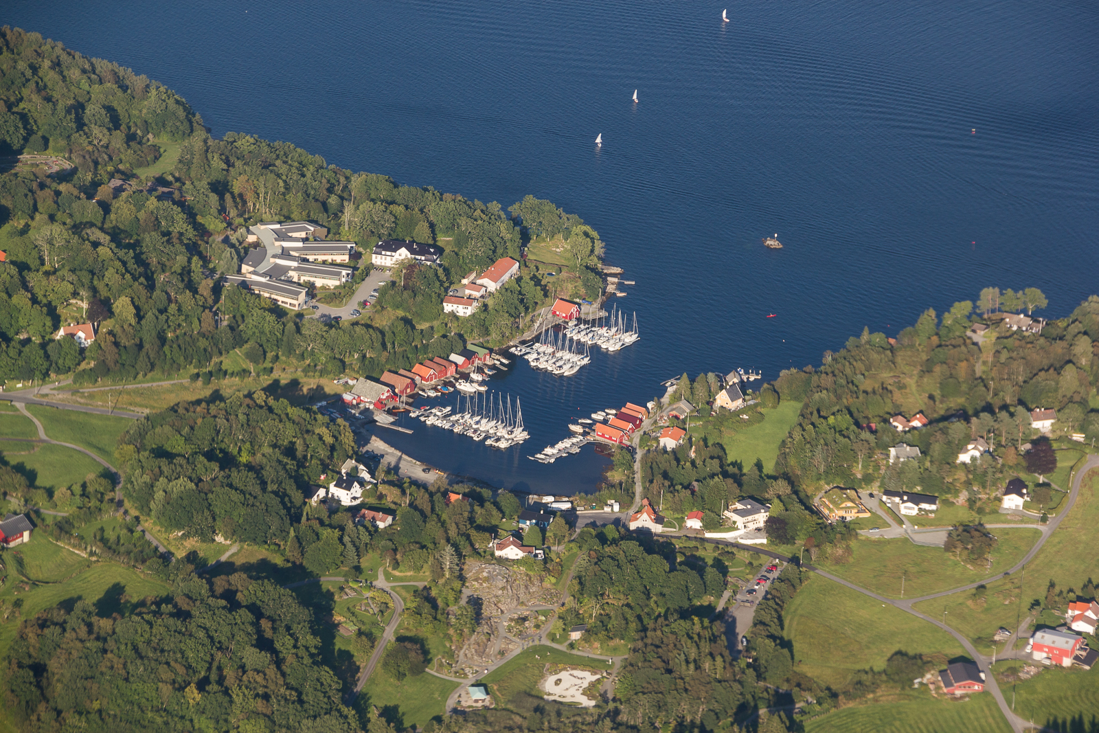
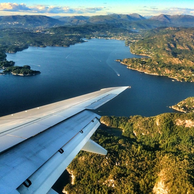
Related Photos:
Utsikt fra Fjell festning - View from Fjell Fortress

grrr, talks about strike next week

Zebra Spider
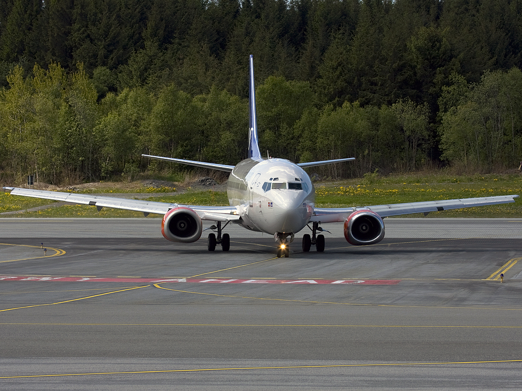
SAS 737-500 LN-BUE

Zebra Spider
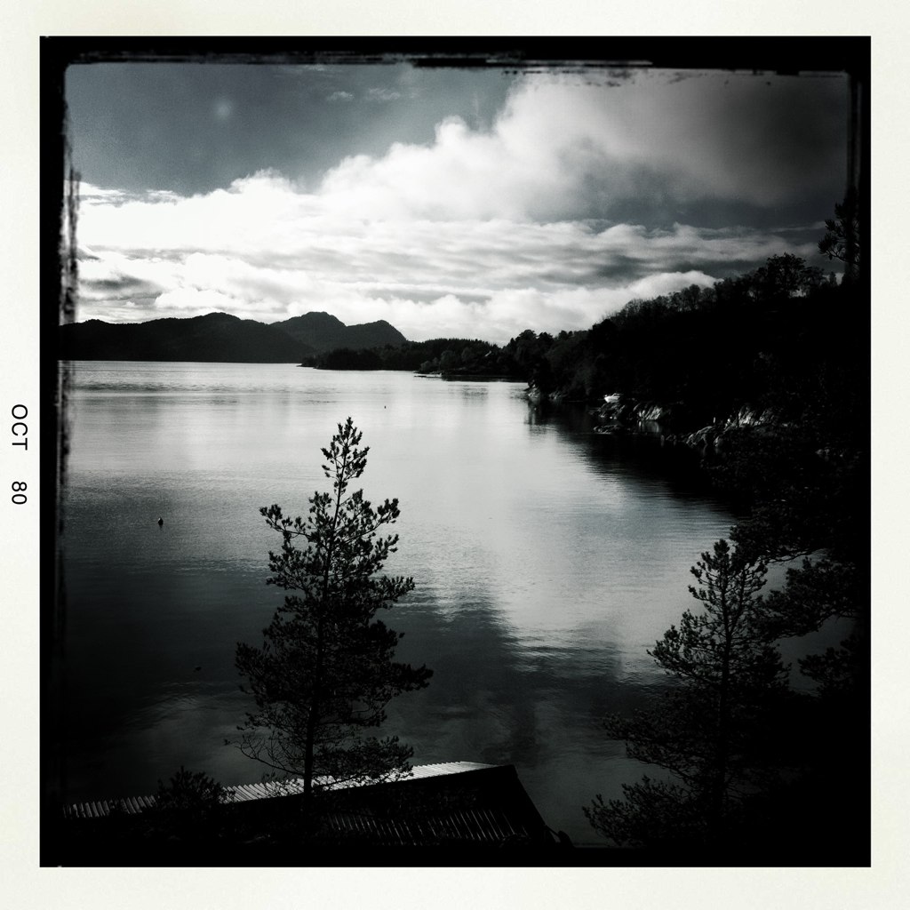
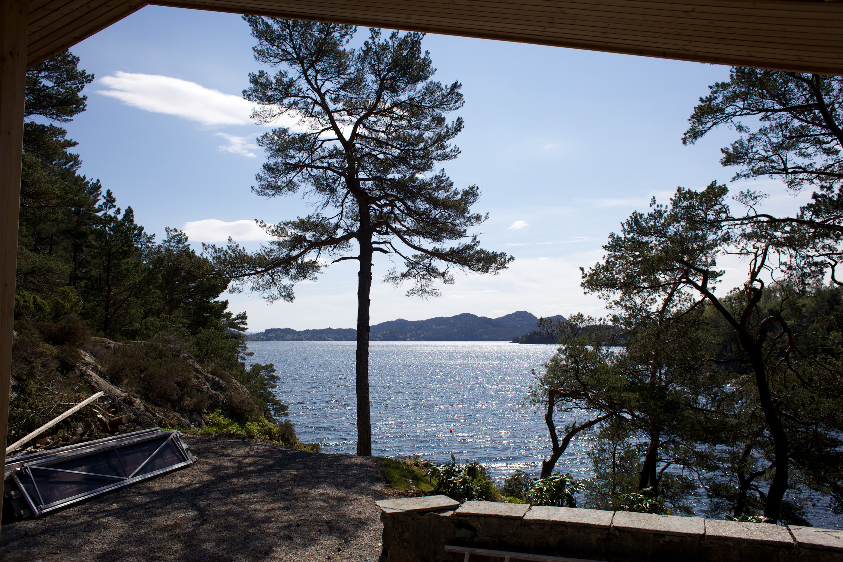
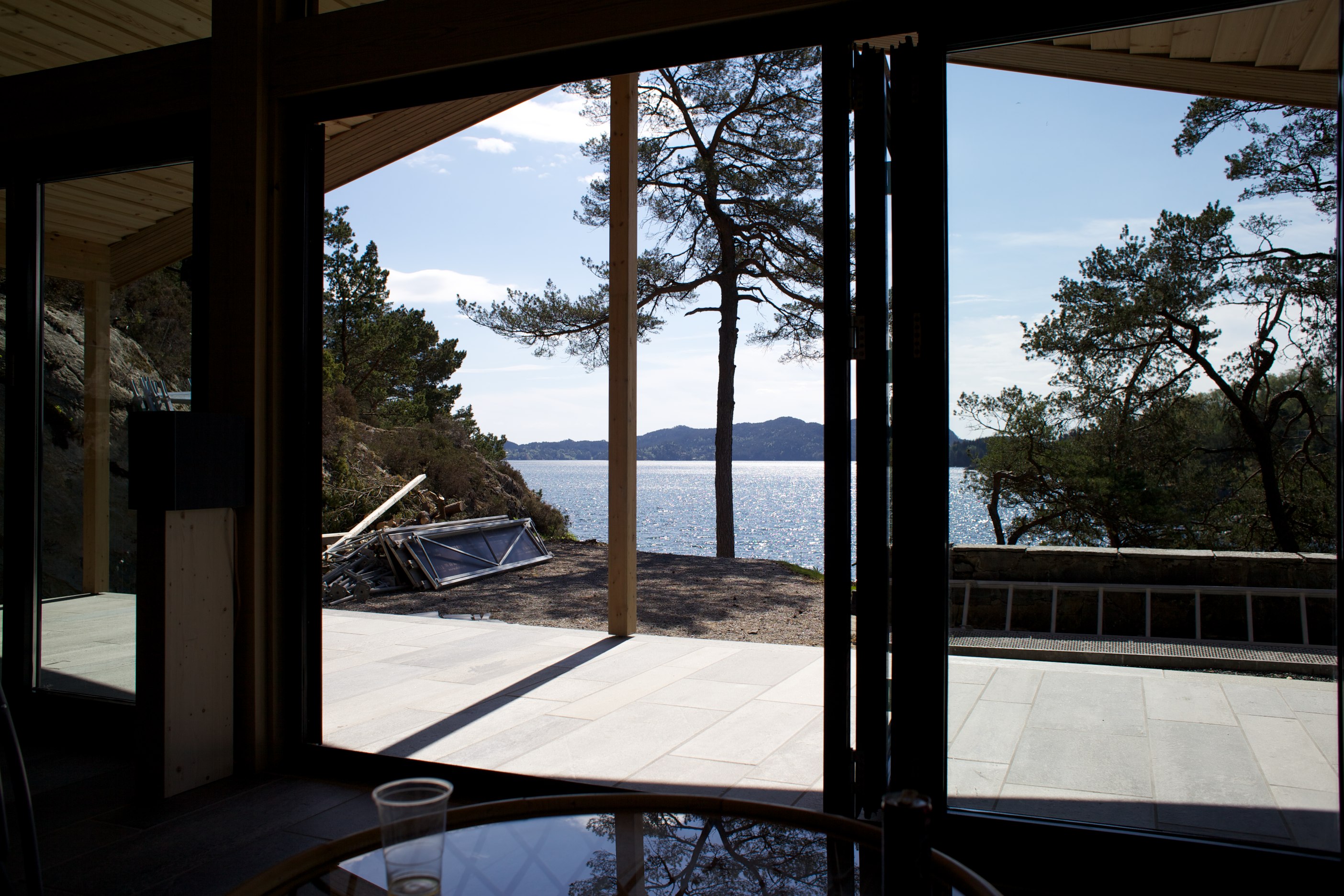
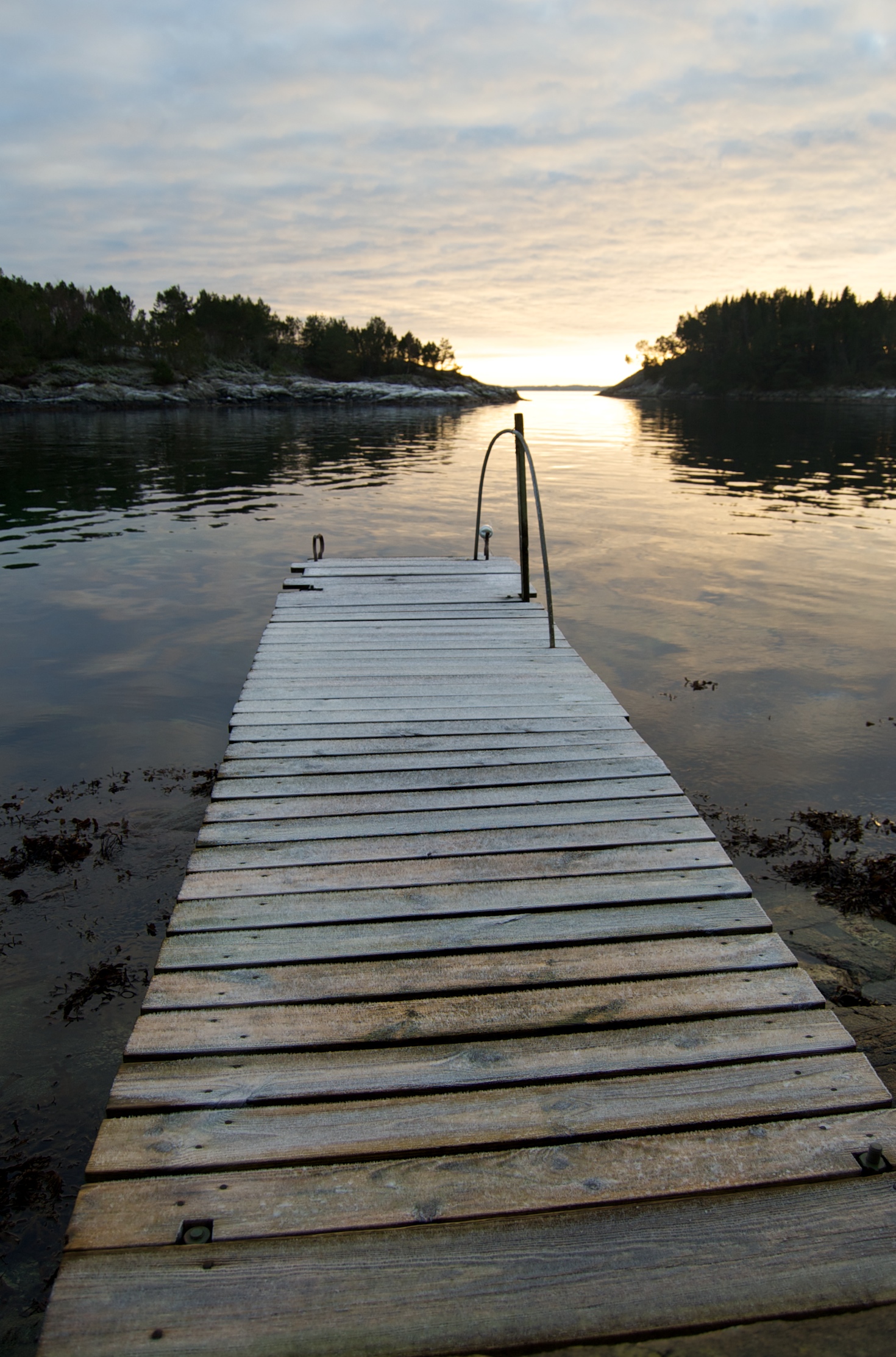
View, with boathouse in the foreground
Hipsatmatic view
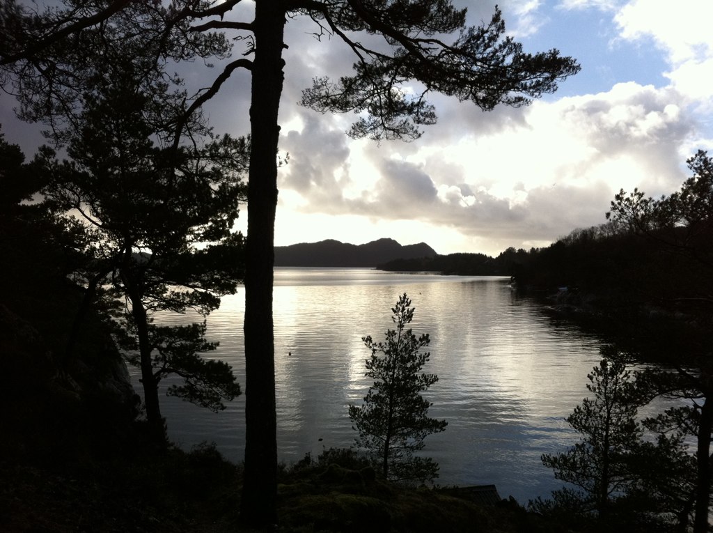
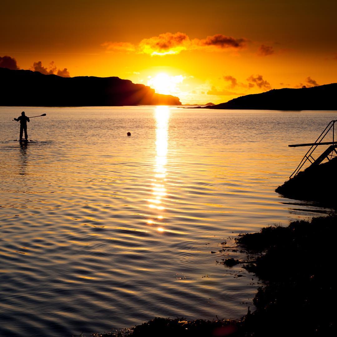
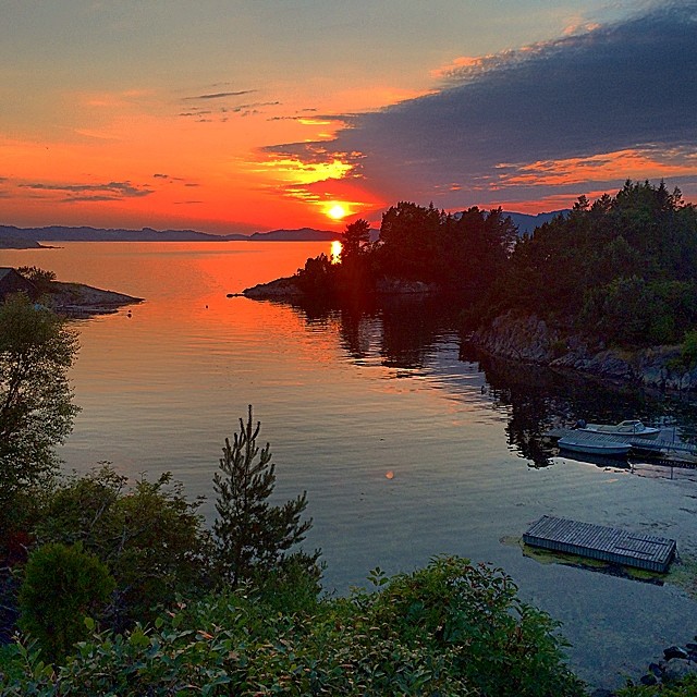
Beautiful evening view
The improved view. Better? Will also cut down one on the right

few tree hill

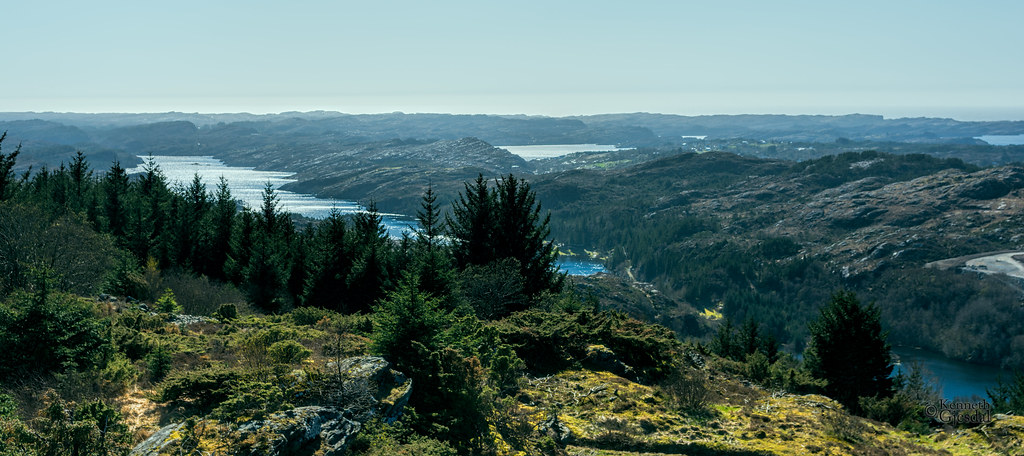
View to the world

View #hauststormen
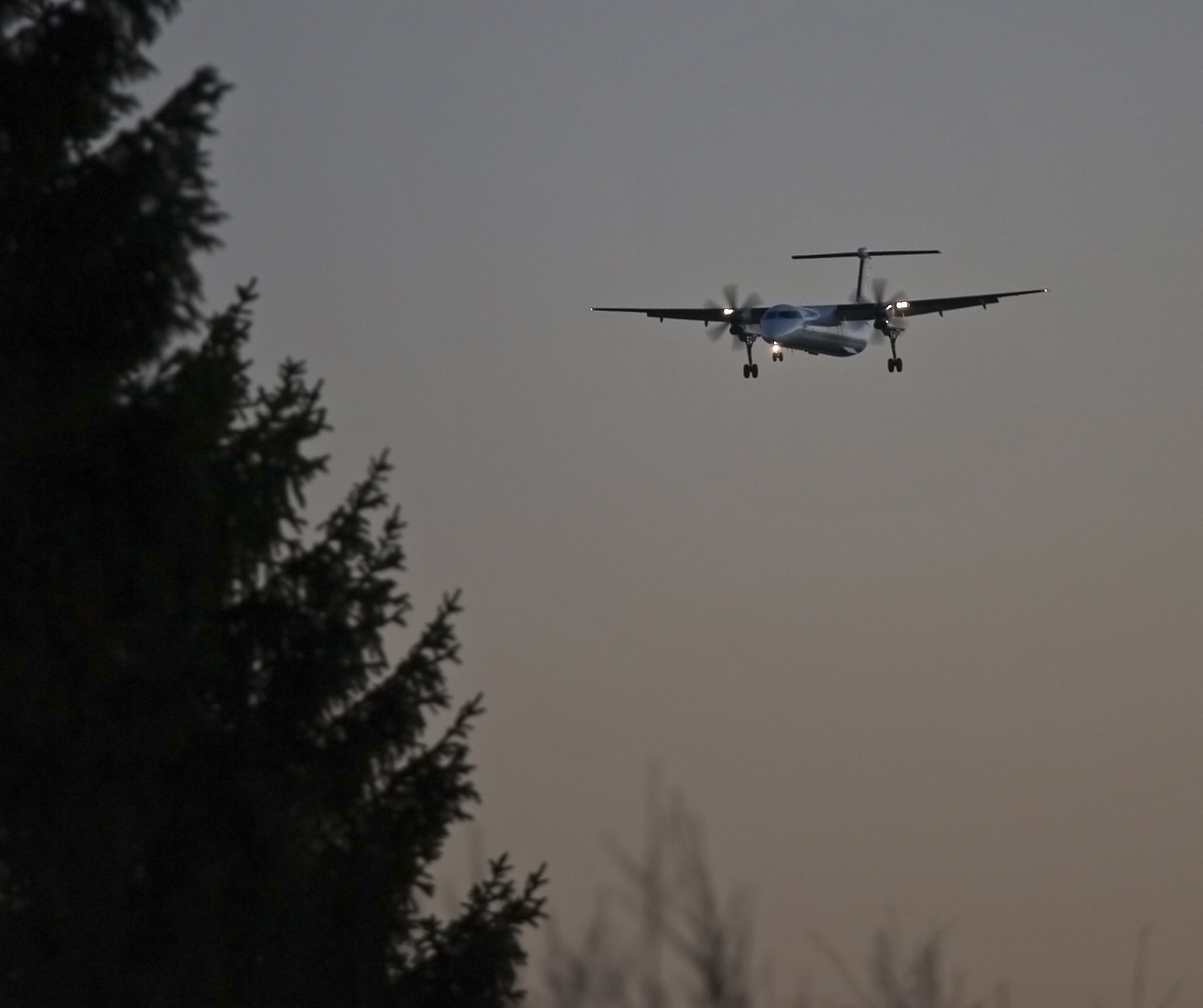
Flesland Widerøe II
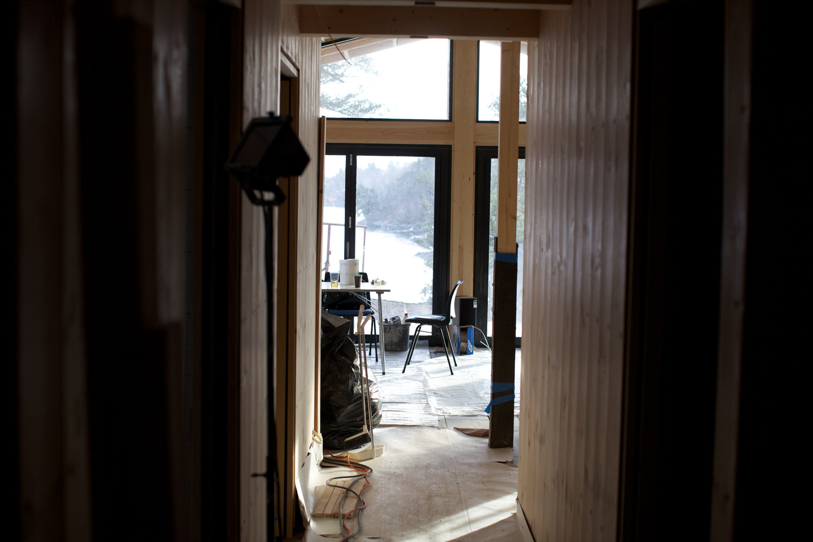
Hallway view
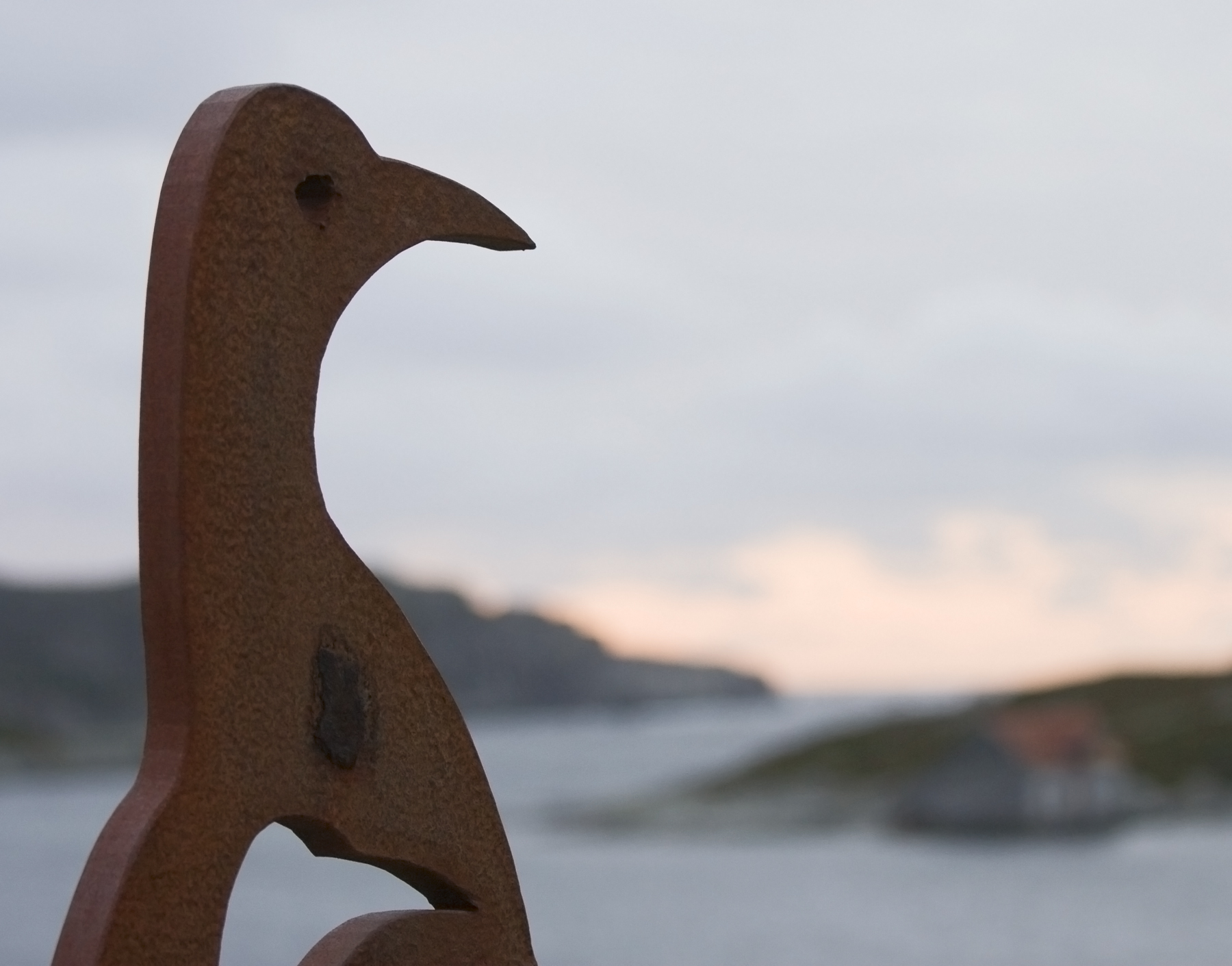
RustBird View
Another view of the view

25.06.15
The view right up by the ledge, with the small trees and low, curly branches gone. Big-time bonsai
View to the front and right.
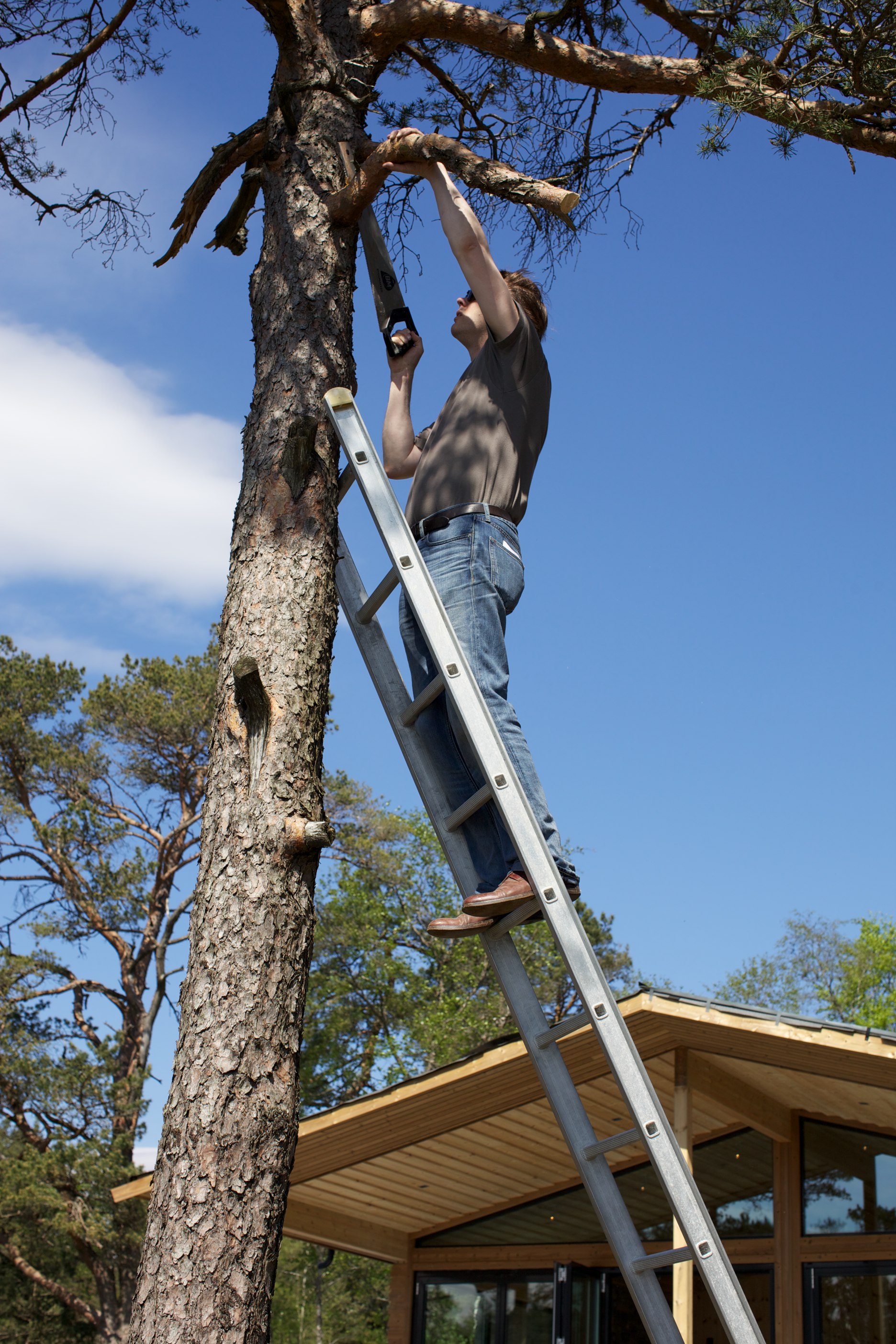
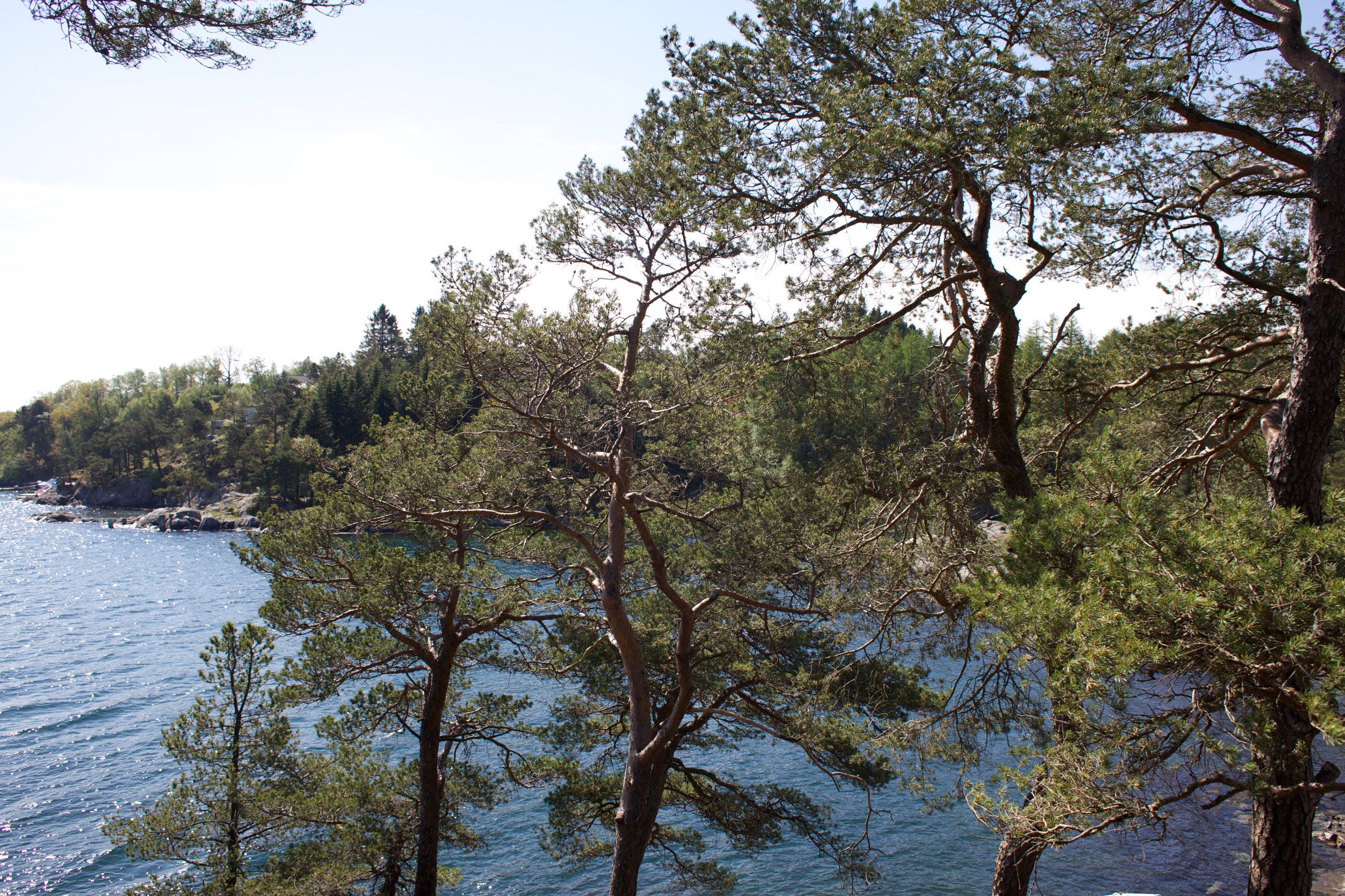
Improving the view
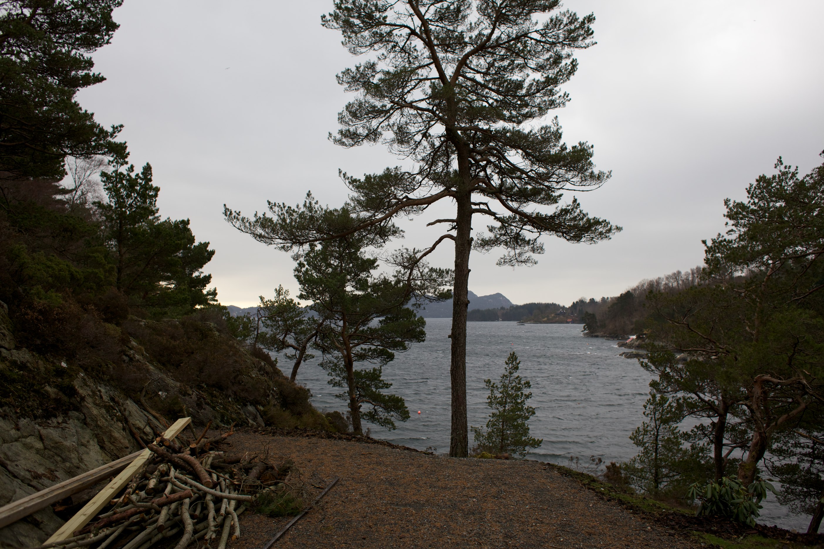
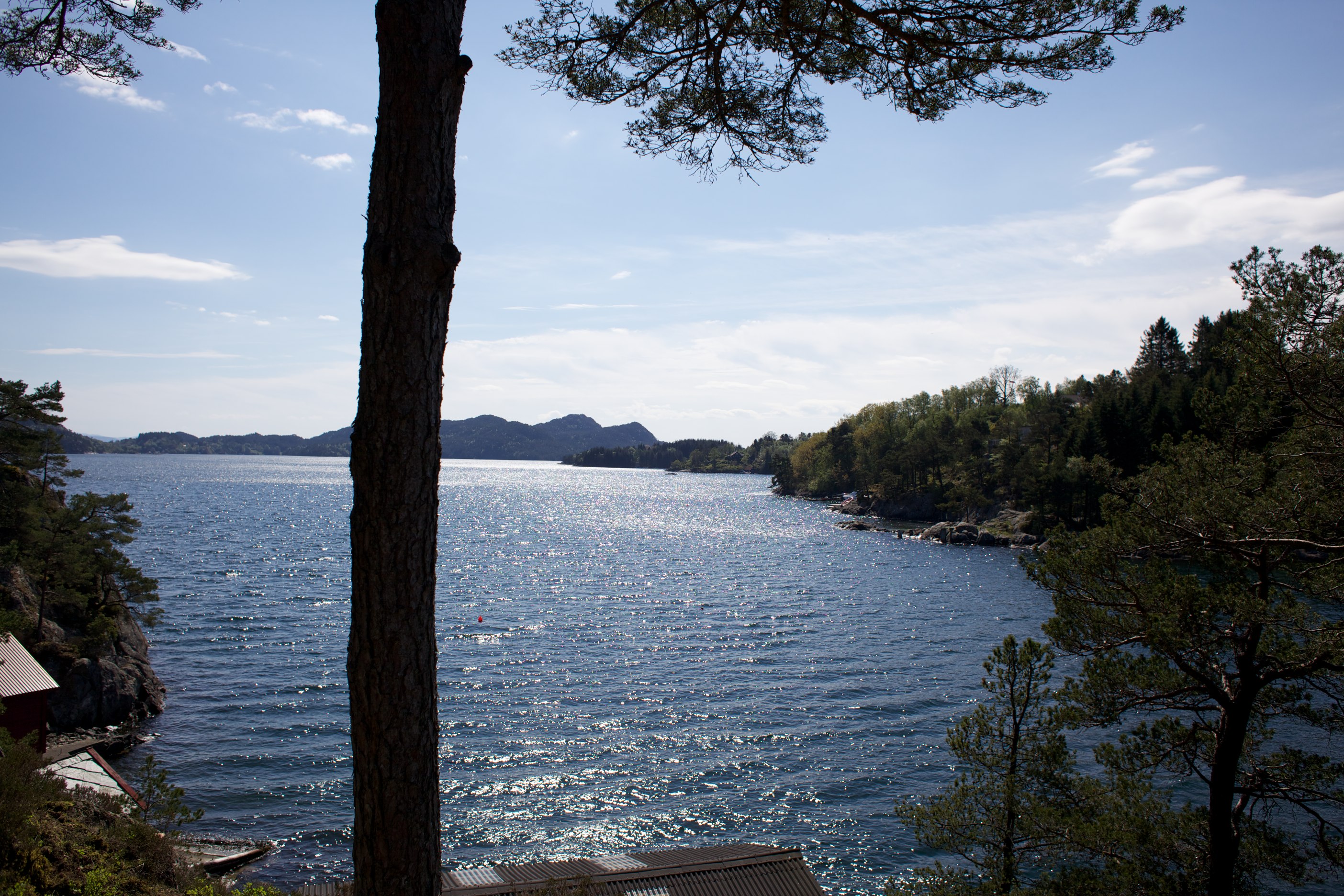
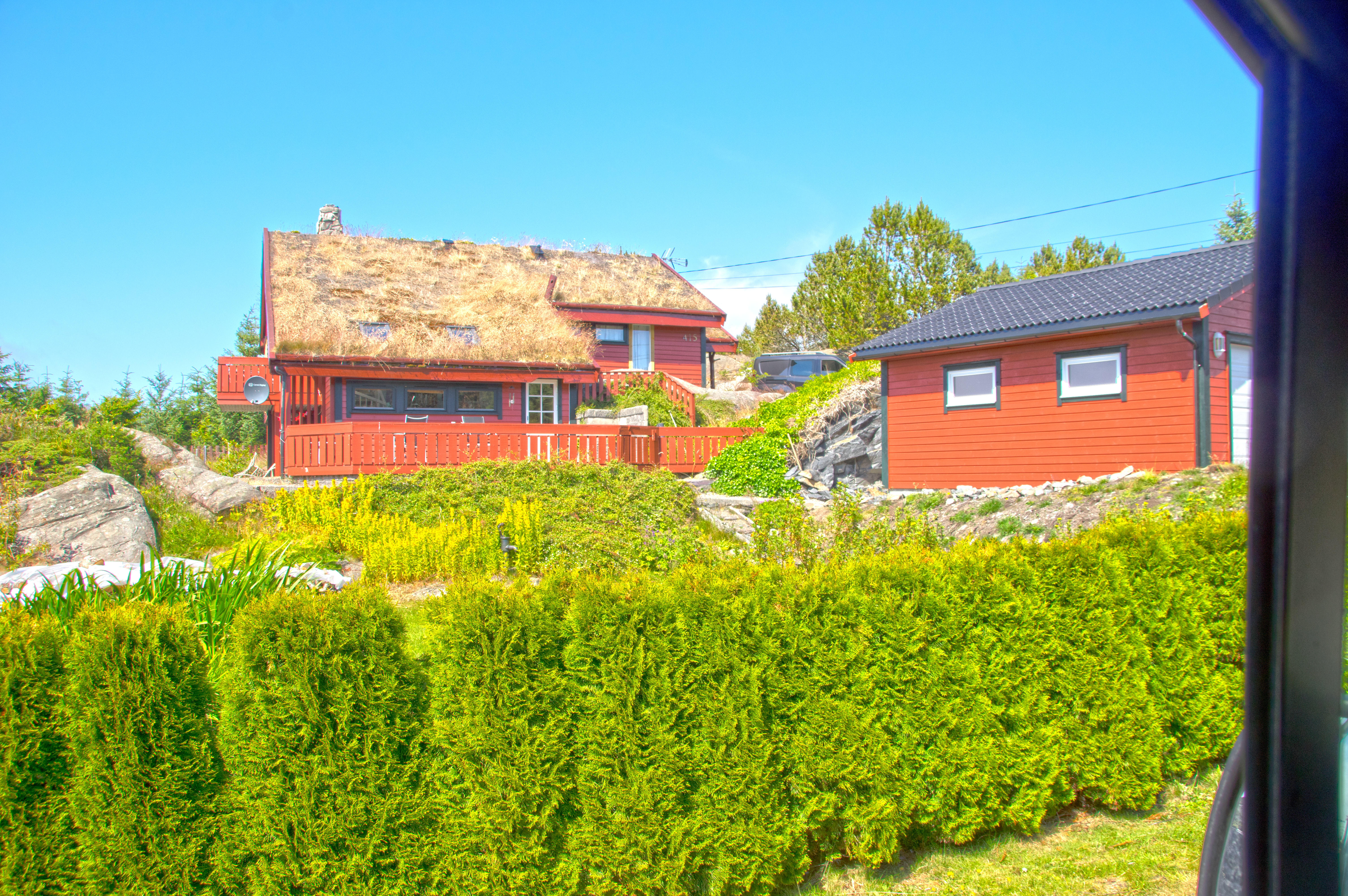
View of the fjord, still with many trees
Trolløysundet
Haganes - på vei til Liatårnet
Haganes - på vei til Liatårnet
Rough texture | Nalen [explored]
Mildevågen, Norway
Snart tilbake i Voss og #ekstremsportveko ! Etter 4 flighter hvorav 3 av dem forsinket, første fordi piloten hadde forsovet seg, andre på grunn av kaos på #osl og siste på grunn av at det plutselig skulle gå 3 charter fly med franskmenn fra #tromsø :) Og
Beautiful sunset at Glesvær tonight. #glesvær #glesværcafe #glesværkafé #glesværsjøbad #tunliweb
Mot sør

Haganes - på vei til Liatårnet

Slow waves
IMGP1994 Syltøy
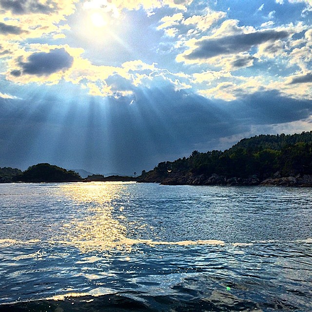
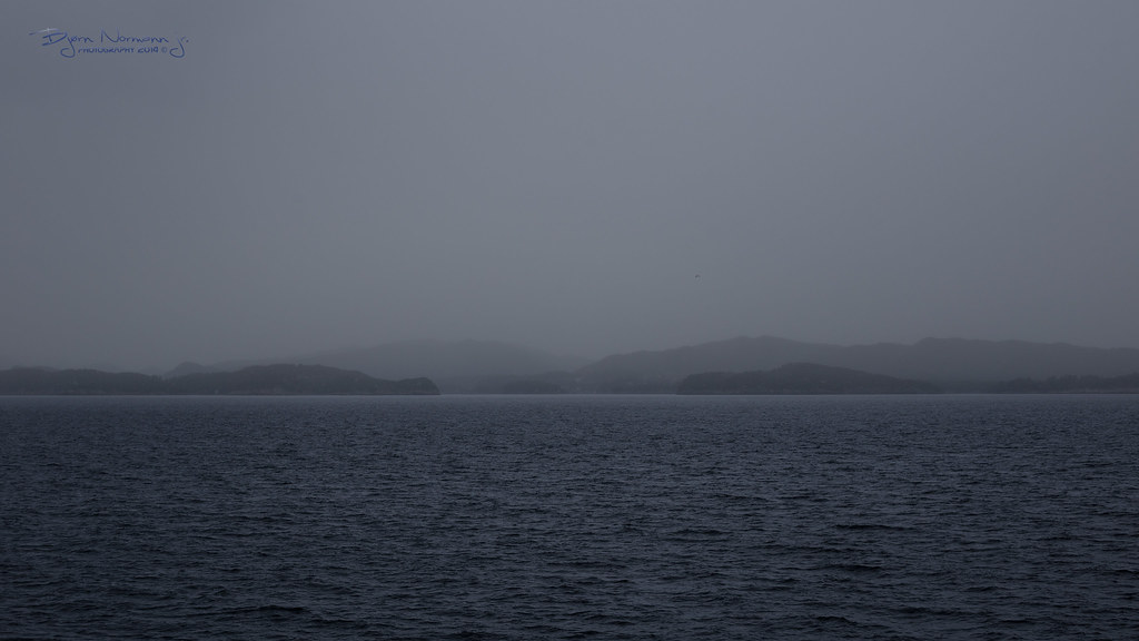
Angel-beams in Korsfjorden south of Bergen #Norway

Light and shadows
Vakre solnedganger for tiden, må forevige dem.

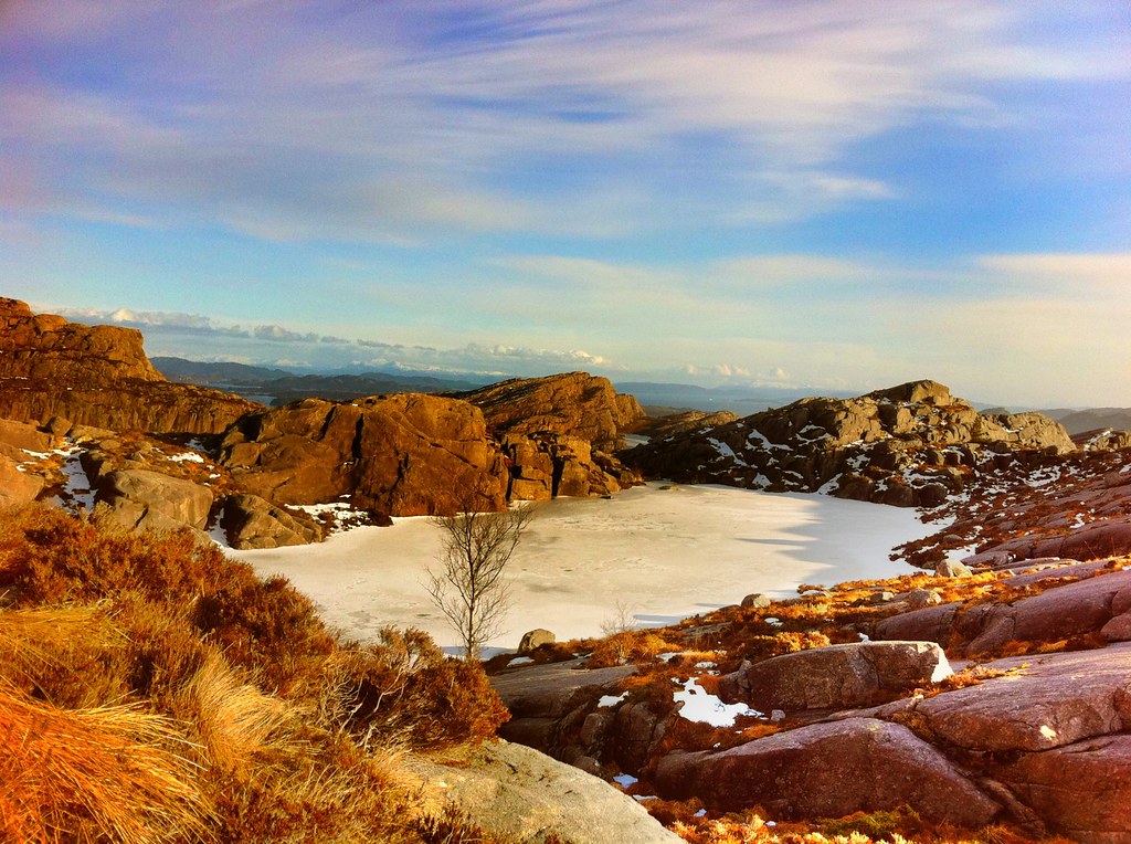
Norwegian volcano?

Flesland, Hordaland Fylke
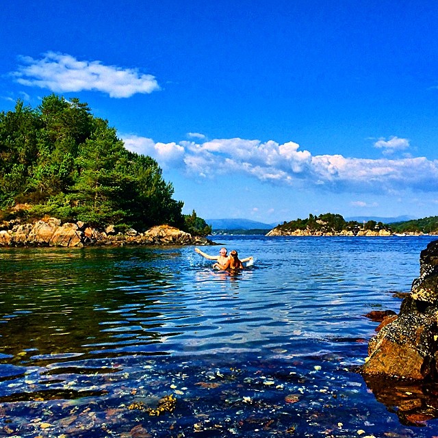
What a day with snorkling in the sea, the kids and myself. The water is pretty cold at the bottom though. 15 degrees Celsius measured. ☀️
Morningtime towards the Bjelkarøy and Bukken area. Shot from an island south of Bergen, Norway

24 April 2012 140.jpg
Topographic Map of Fv 10, Steinsland, Norway
Find elevation by address:

Places near Fv 10, Steinsland, Norway:
Sund
Nesvegen, Fjell, Norway
Rv 10, Torangsvåg, Norway
Austevoll
Fjell
Skarefjellet
Ytrebygda
Fv, Bekkjarvik, Norway
Kanadaskogen Friluftslivsbarnehage
Askøy
Hordnesskogen P-plass
Våkleiven
Rå
Skipavika, Nordstrøno, Norway
Øvre Lyngbø
Fagerdalen 2
Råvarden 163
Råvarden
Nordre Fyllingen
Gravdal
Recent Searches:
- Elevation of Shibuya Scramble Crossing, 21 Udagawacho, Shibuya City, Tokyo -, Japan
- Elevation of Jadagoniai, Kaunas District Municipality, Lithuania
- Elevation of Pagonija rock, Kranto 7-oji g. 8"N, Kaunas, Lithuania
- Elevation of Co Rd 87, Jamestown, CO, USA
- Elevation of Tenjo, Cundinamarca, Colombia
- Elevation of Côte-des-Neiges, Montreal, QC H4A 3J6, Canada
- Elevation of Bobcat Dr, Helena, MT, USA
- Elevation of Zu den Ihlowbergen, Althüttendorf, Germany
- Elevation of Badaber, Peshawar, Khyber Pakhtunkhwa, Pakistan
- Elevation of SE Heron Loop, Lincoln City, OR, USA