Elevation of Furbee Avenue, Furbee Ave, Mannington, WV, USA
Location: United States > West Virginia > Marion County > West Augusta > Mannington >
Longitude: -80.3434
Latitude: 39.528192
Elevation: 296m / 971feet
Barometric Pressure: 98KPa
Elevation Map:
Satellite Map:
Related Photos:
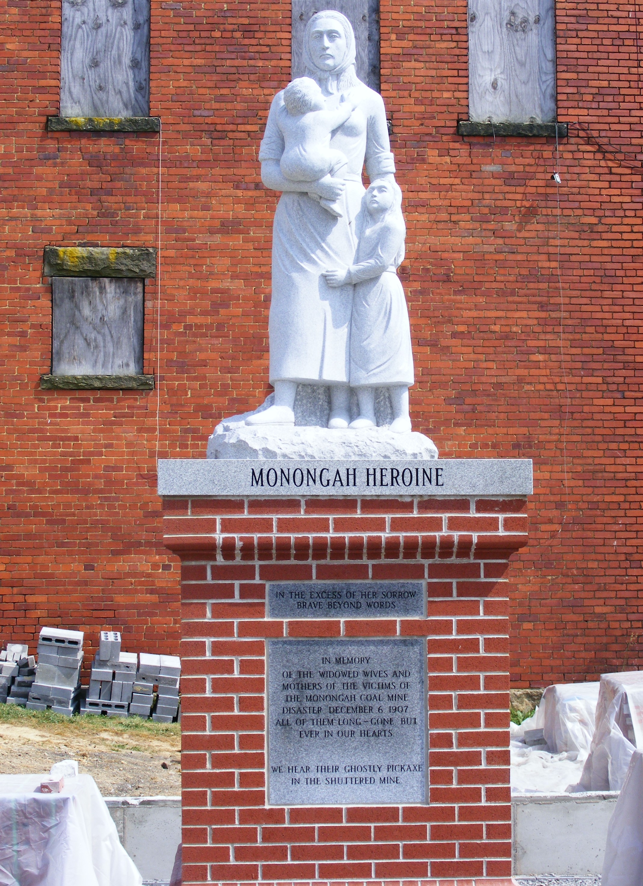
Monongah Heroine
West Virginia ~ Monongah
Mannington Elementary
West Fork River Trail
West Fork River Trail 36
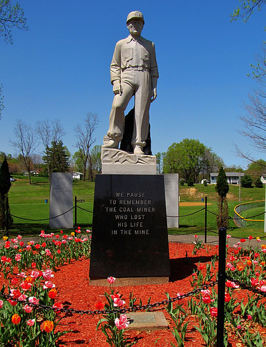
Pause to Remember
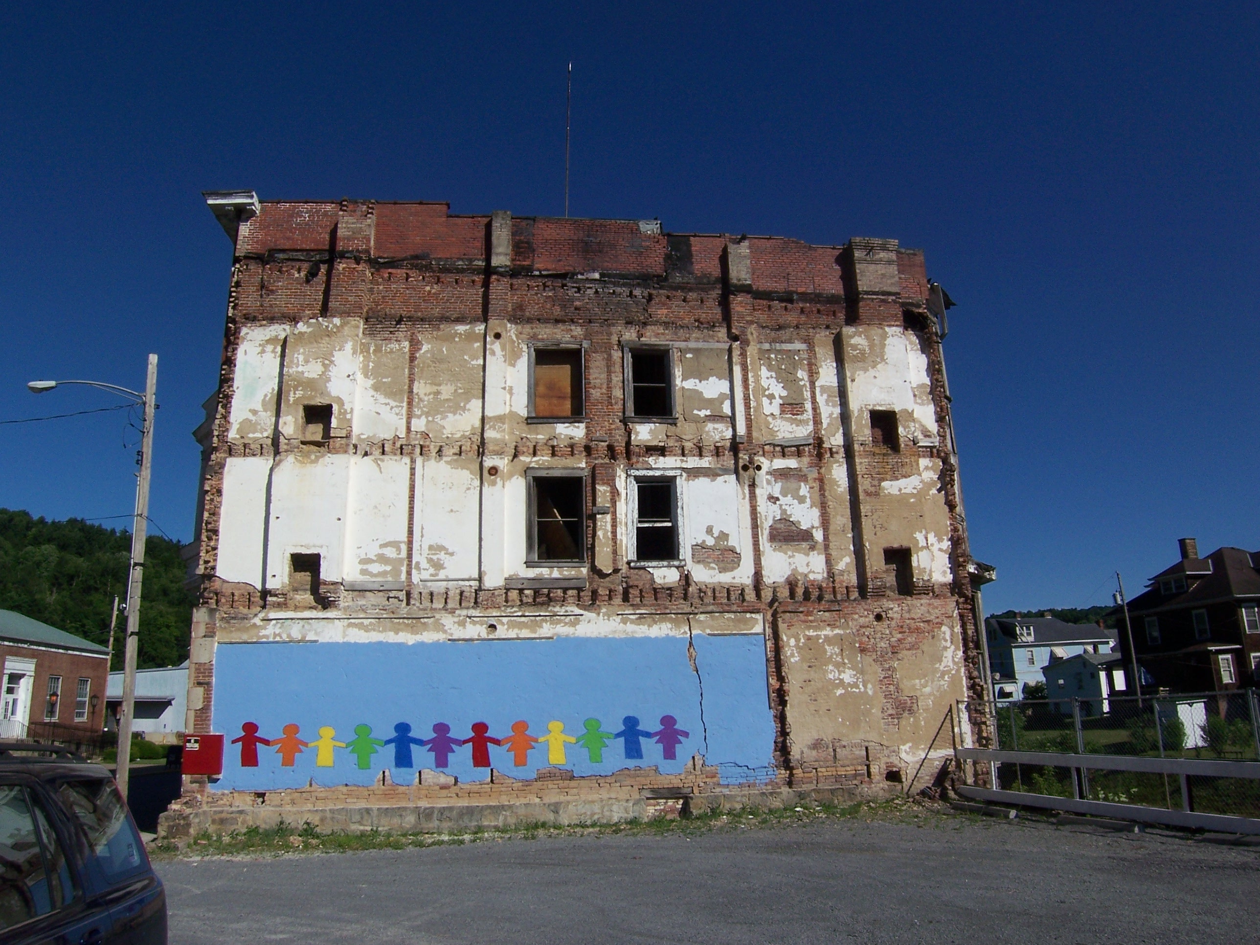
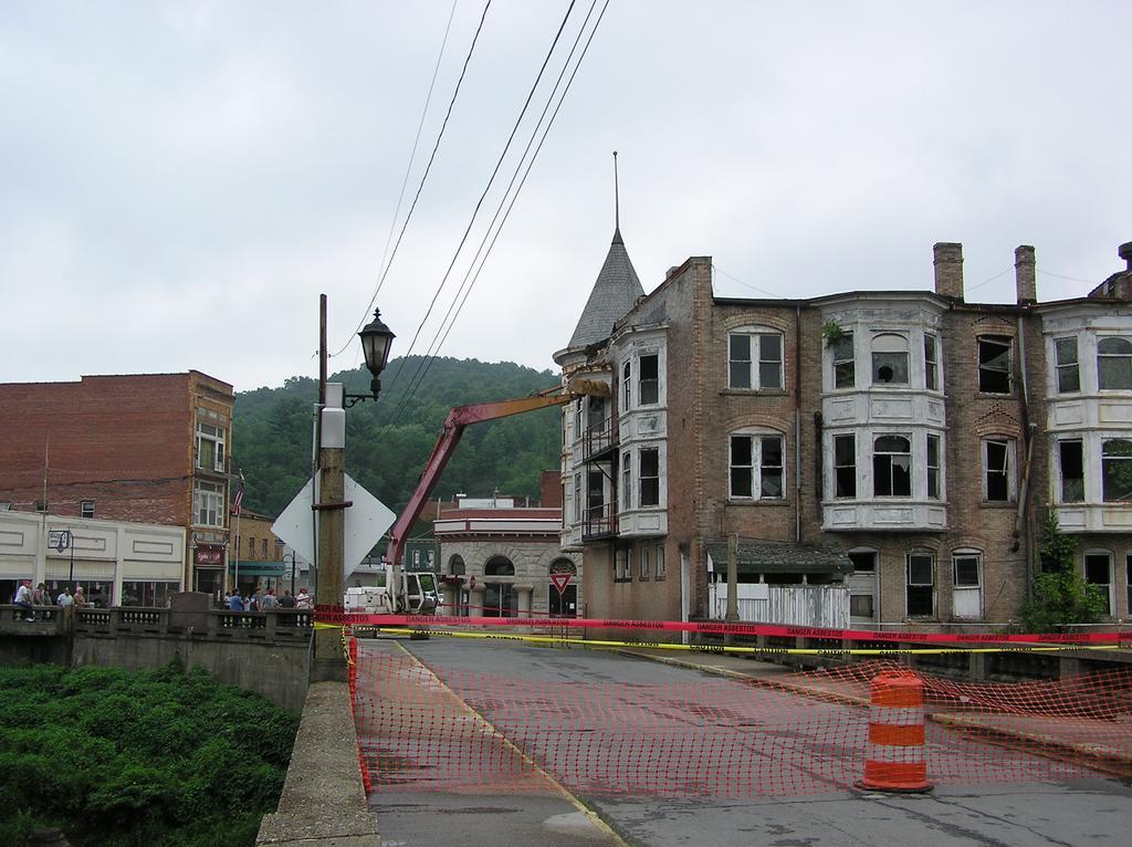
Rainbow View of Abandoned Building, Water St
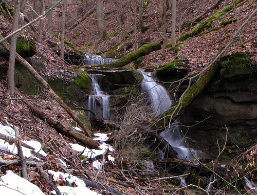
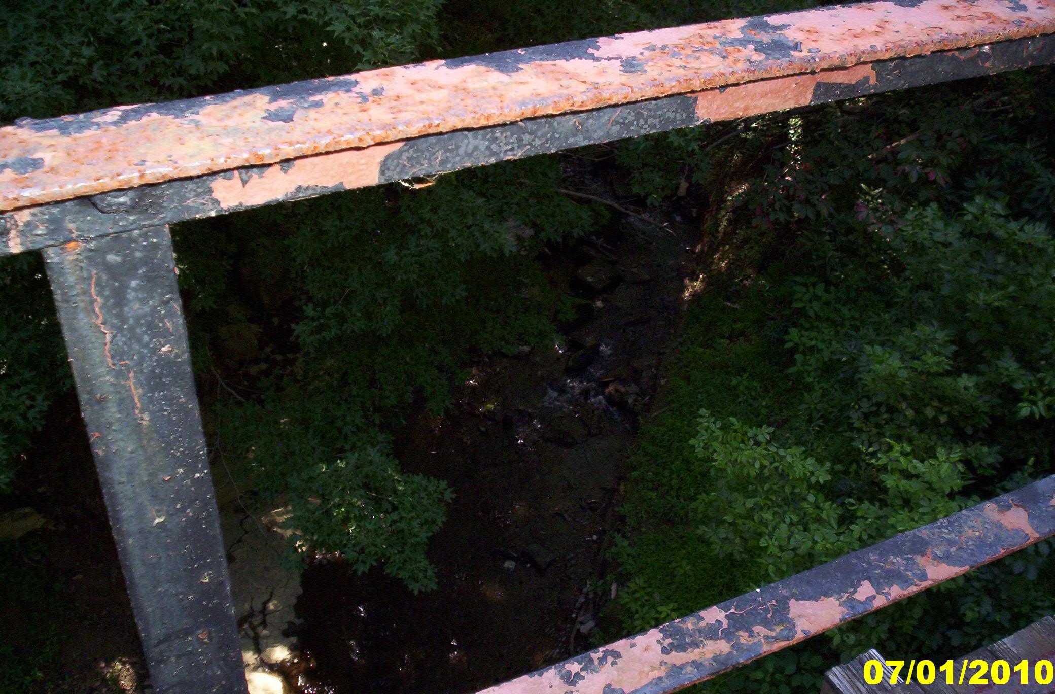
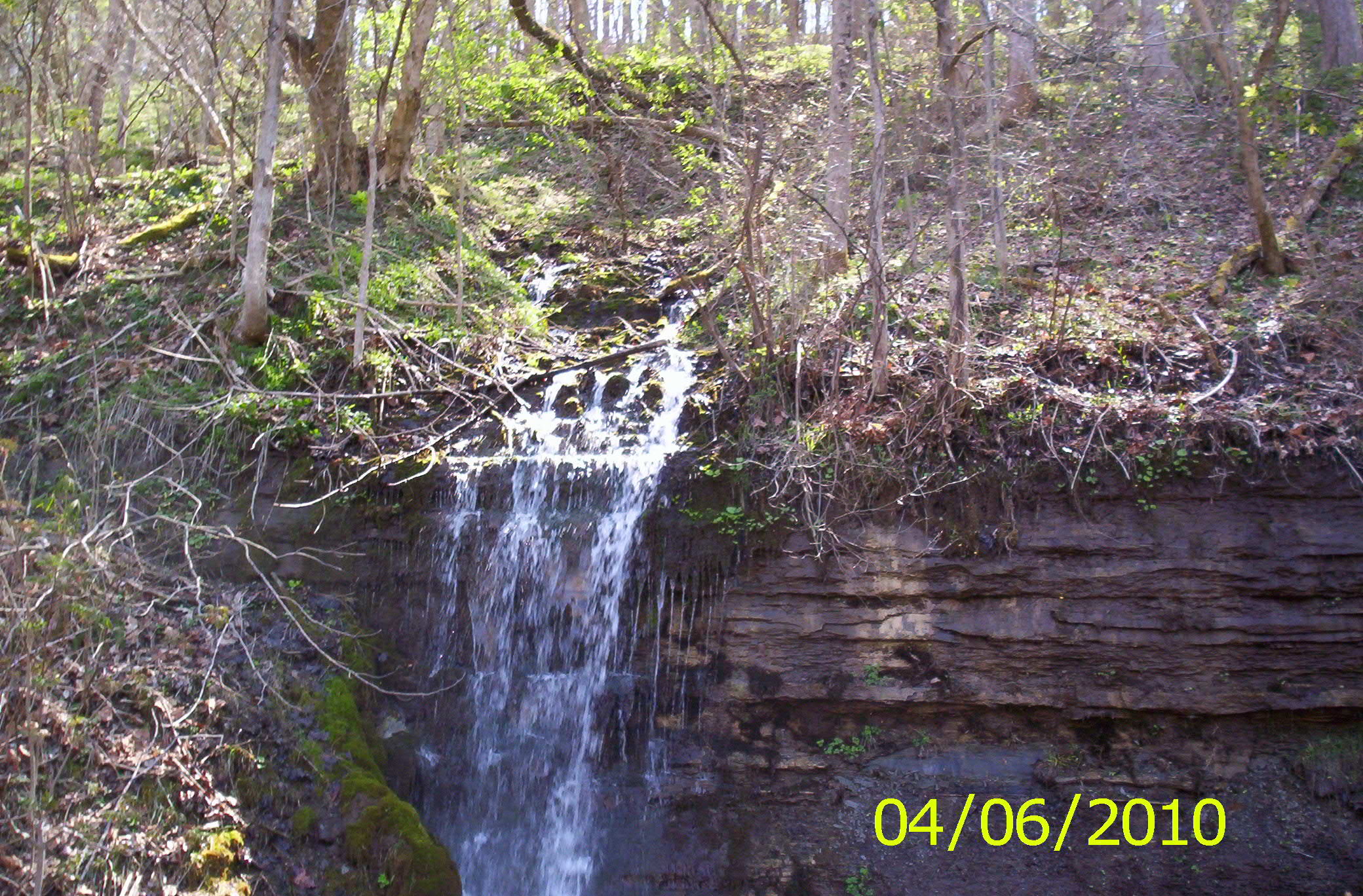
Nearest Waterfall
2004-07-10-p7120051
2004-07-10-p7120048
04/25/2010
West Fork River Trail 9
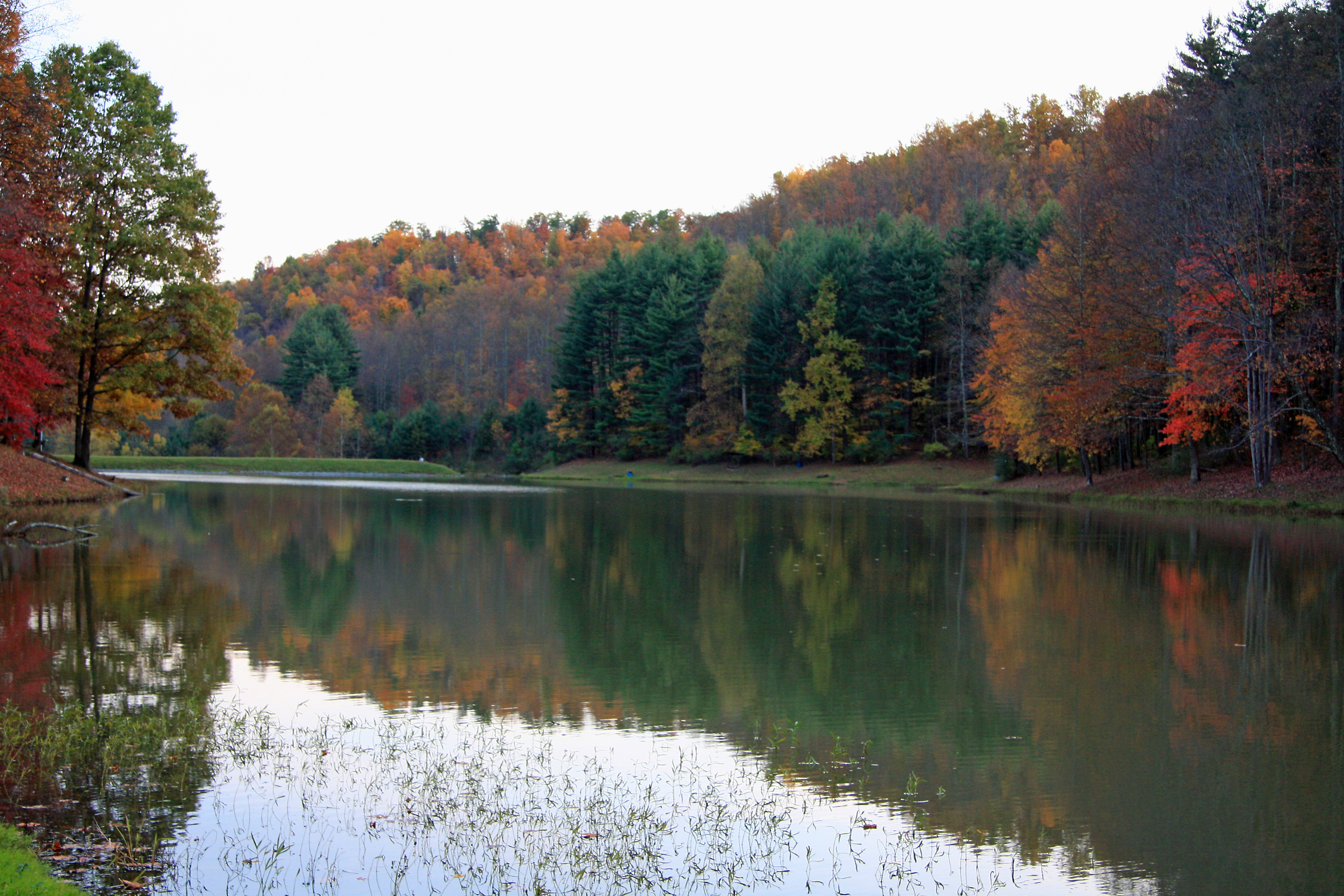
Rachel Lake

step in to the light
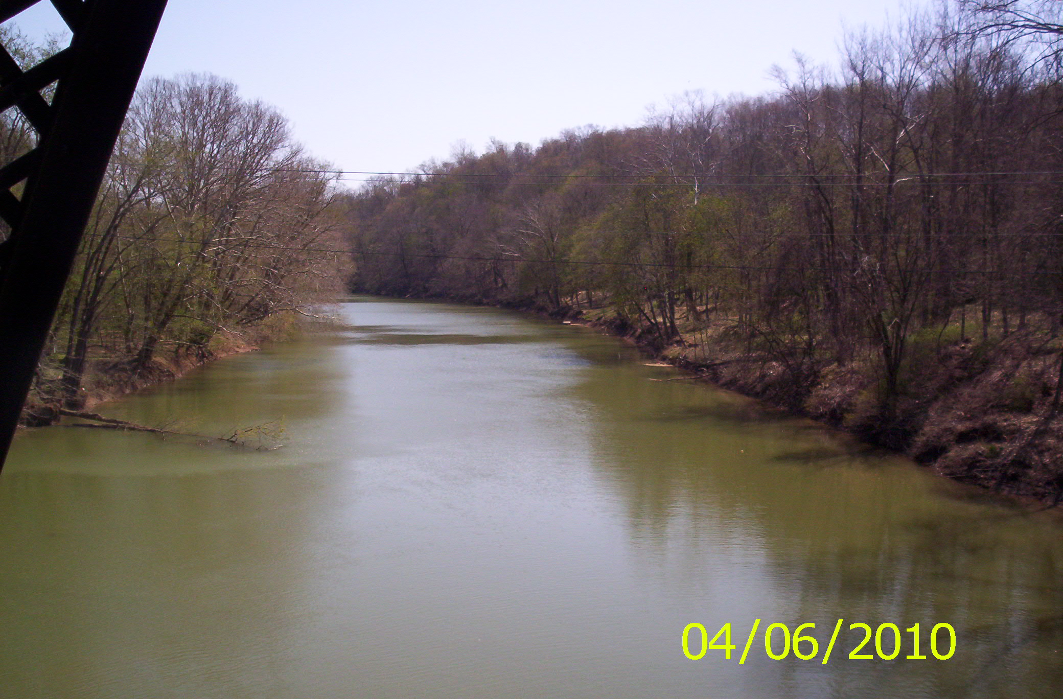
West Fork River Trail 15
West Fork River Trail 20
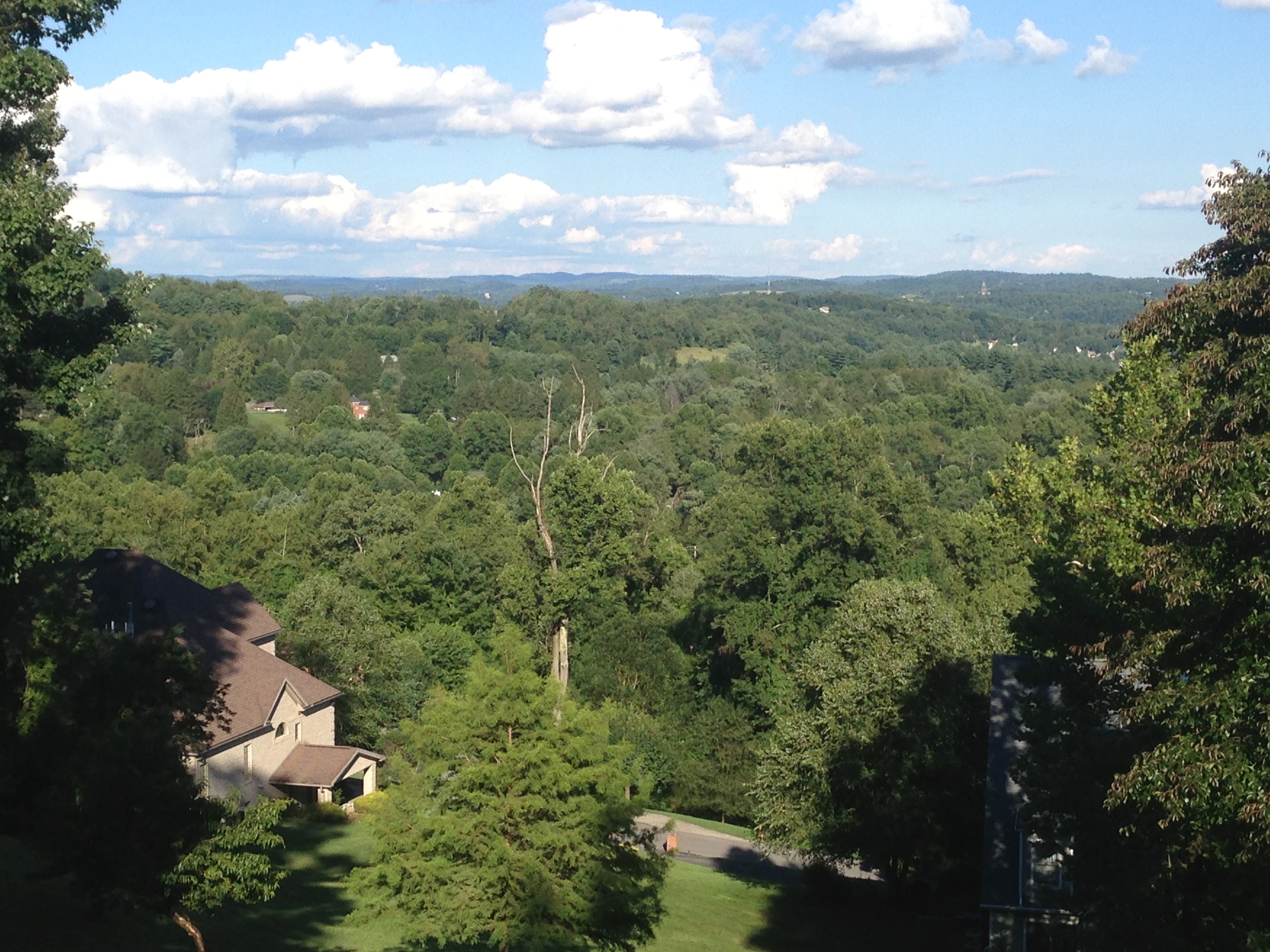
Fairmont hills
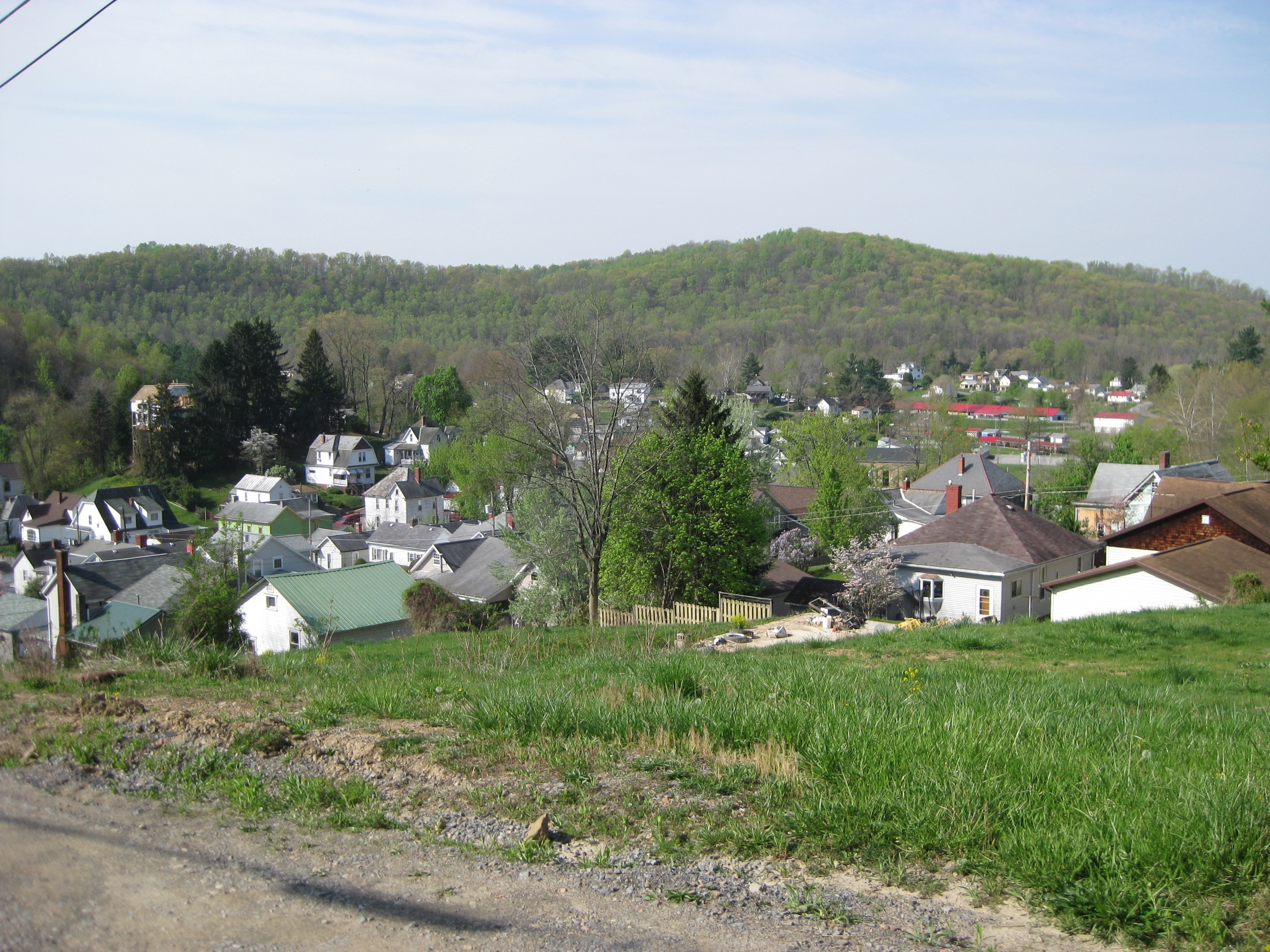
looking down on the town
West Fork River Trail 24

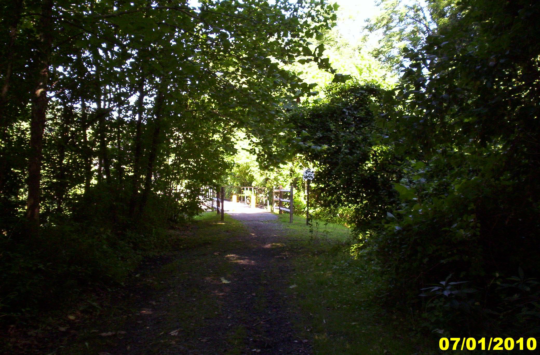
into the woods
Topographic Map of Furbee Avenue, Furbee Ave, Mannington, WV, USA
Find elevation by address:

Places near Furbee Avenue, Furbee Ave, Mannington, WV, USA:
Water St, Mannington, WV, USA
Mannington
West Augusta
Flaggy Meadow Dr, Mannington, WV, USA
1069 Plum Run Rd
43 Edgewood Ln
43 Edgewood Ln
1352 Co Rd 4/8
37 Second St
235 Curtisville Pike
4219 Anderson St
Joetown Rd, Mannington, WV, USA
Farmington
Curtisville Pike, Mannington, WV, USA
Robinson-wyatt Run Road
Marion County
41 Crown St, Worthington, WV, USA
Worthington
3057 Hood Avenue
24 Co Rte 19/1
Recent Searches:
- Elevation of Estates Loop, Priest River, ID, USA
- Elevation of Woodland Oak Pl, Thousand Oaks, CA, USA
- Elevation of Brownsdale Rd, Renfrew, PA, USA
- Elevation of Corcoran Ln, Suffolk, VA, USA
- Elevation of Mamala II, Sariaya, Quezon, Philippines
- Elevation of Sarangdanda, Nepal
- Elevation of 7 Waterfall Way, Tomball, TX, USA
- Elevation of SW 57th Ave, Portland, OR, USA
- Elevation of Crocker Dr, Vacaville, CA, USA
- Elevation of Pu Ngaol Community Meeting Hall, HWHM+3X7, Krong Saen Monourom, Cambodia