Elevation of Ft Denaud Rd, Fort Denaud, FL, USA
Location: United States > Florida > Hendry County > Fort Denaud >
Longitude: -81.510731
Latitude: 26.741382
Elevation: 4m / 13feet
Barometric Pressure: 101KPa
Elevation Map:
Satellite Map:
Related Photos:

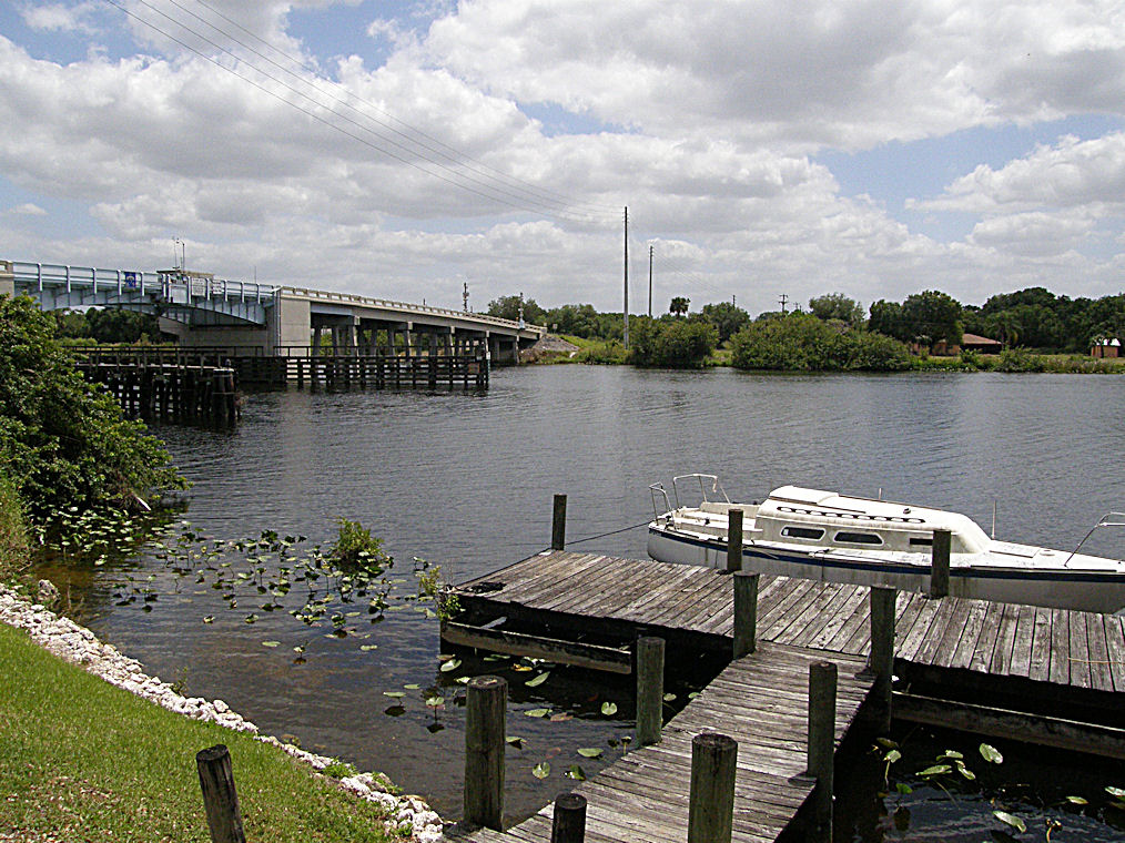
The Caloosahatchee from the Alva Bridge
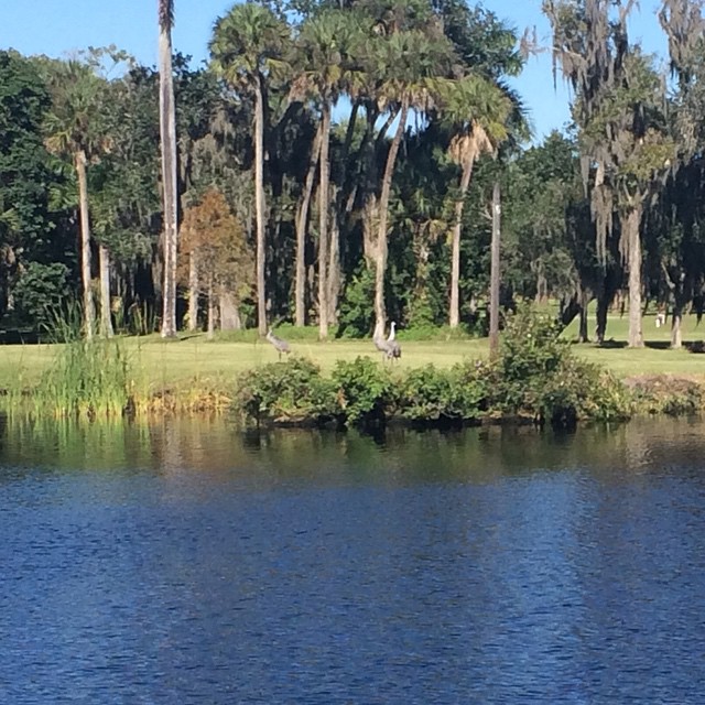
Sandhill Cranes on an oxbow.
Oh , she saw me!

Caloosahatchee Regional Park
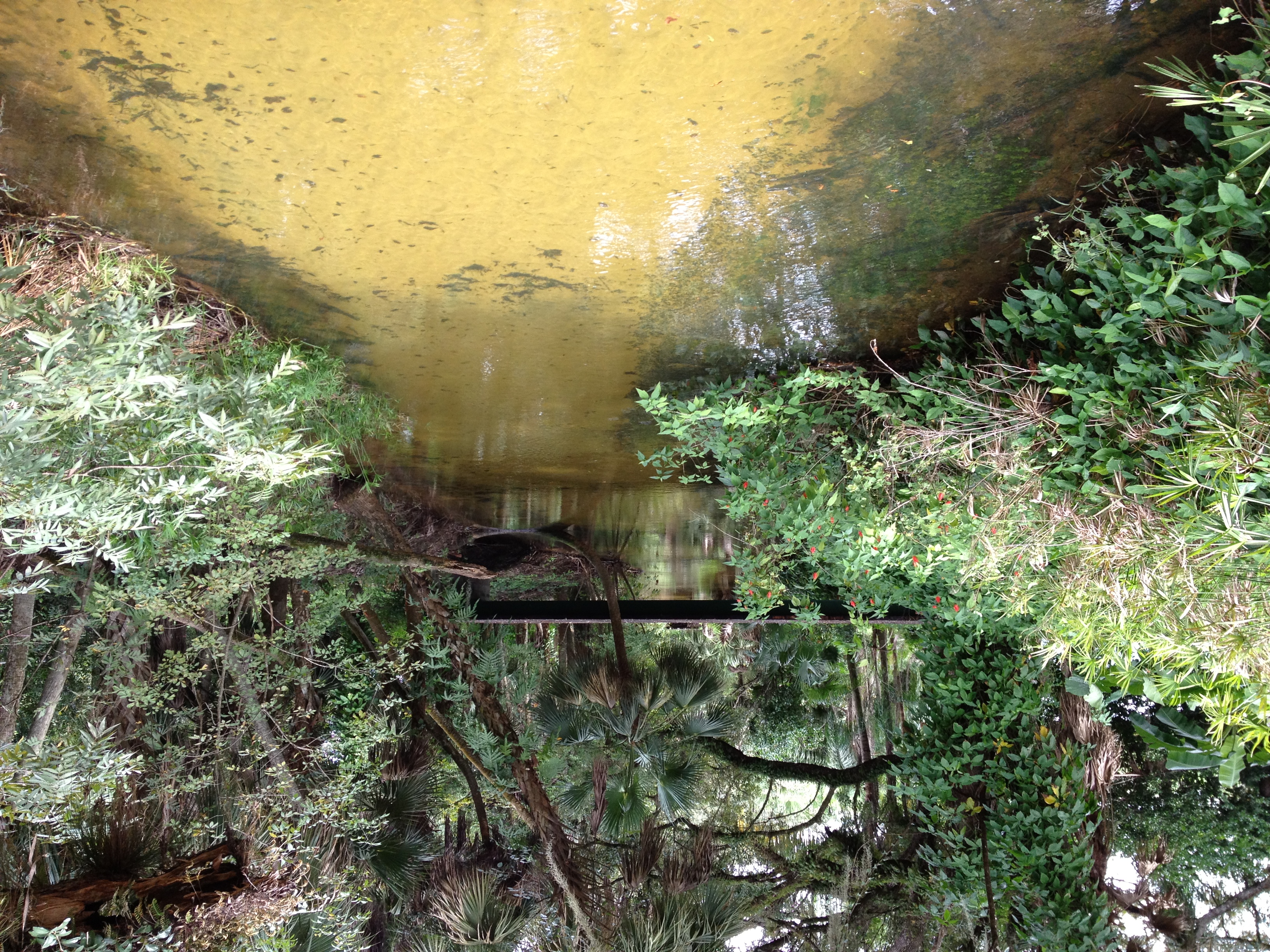
Bedman's creek in my backyard
Caloosahatchee Regional Park
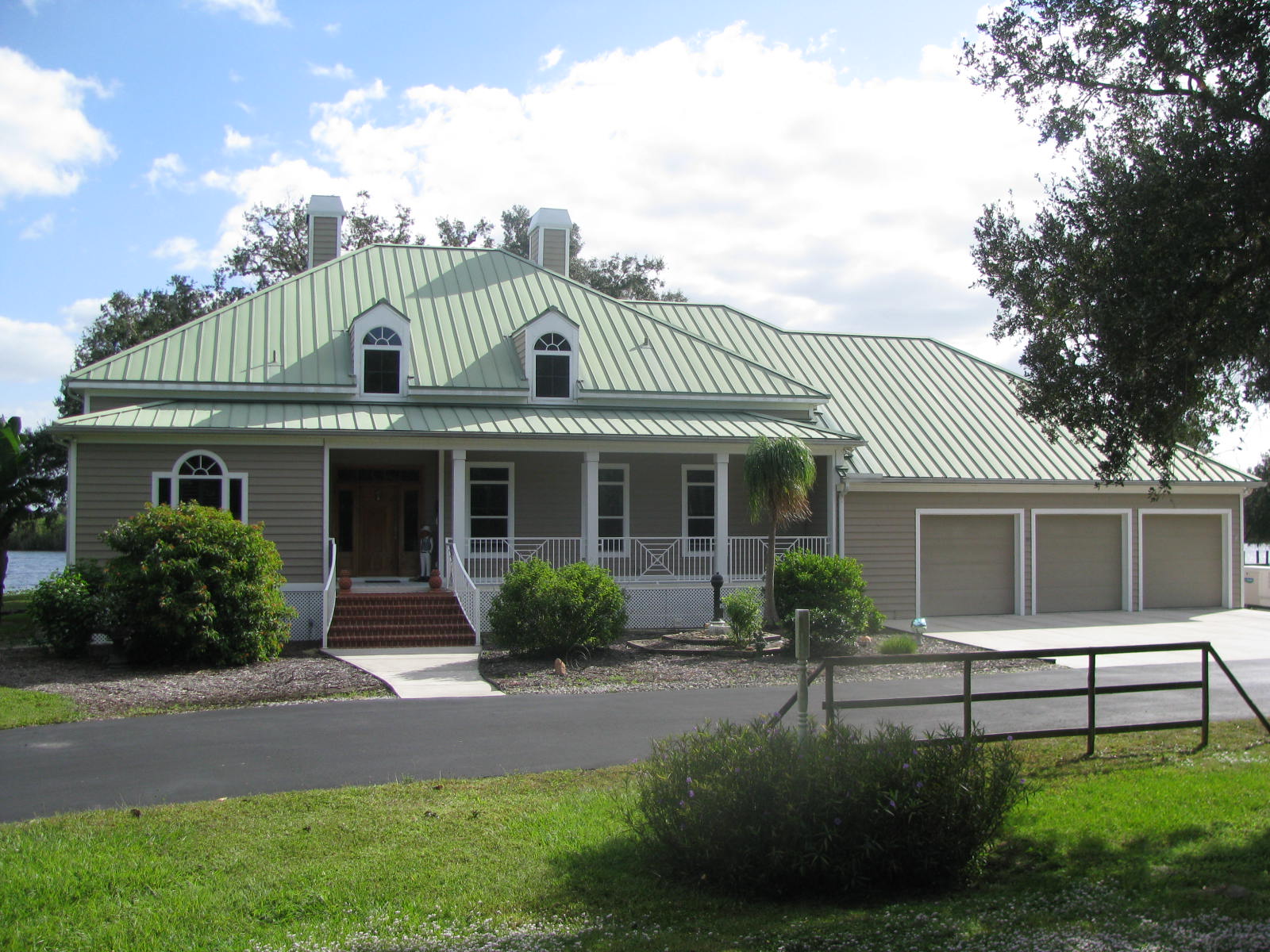
Florida,Alva, Riverfront Home

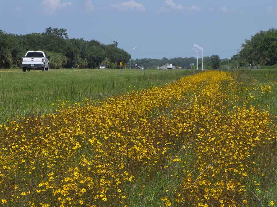
Clouds and wildflowers

Another beautiful day
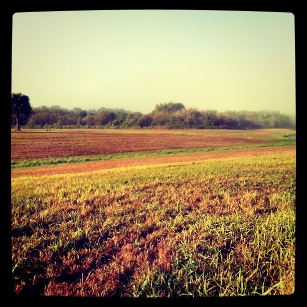
Morning in the greenbelt

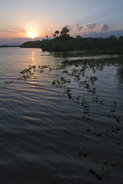
Caloosahatchee River
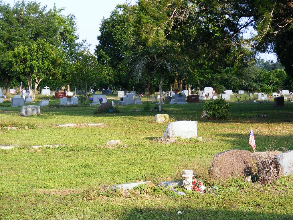
Alva_Cemetery-6
Coreopsis leavenworthii

An oak in all it's glory

Wildflowers9-2

Caloosahatchee River
Alva, FL - Hypotenuse Trail
Topographic Map of Ft Denaud Rd, Fort Denaud, FL, USA
Find elevation by address:

Places near Ft Denaud Rd, Fort Denaud, FL, USA:
3600 Fort Denaud Rd
2525 Phillips Rd
2525 Phillips Rd
2525 Phillips Rd
3020 North River Rd
3020 North River Rd
3020 North River Rd
3020 North River Rd
3020 North River Rd
615 Kirby Thompson Rd
2530 Fort Denaud Rd
2070 Fort Denaud Rd
2074 Fort Denaud Rd
Fort Denaud
2512 Caloosa Shores Dr
Fort Denaud, FL, USA
391 Caloosa Estates Dr
1951 W Hickpochee Ave
Willow Lane
900 Aqua Isles Blvd
Recent Searches:
- Elevation of Elwyn Dr, Roanoke Rapids, NC, USA
- Elevation of Congressional Dr, Stevensville, MD, USA
- Elevation of Bellview Rd, McLean, VA, USA
- Elevation of Stage Island Rd, Chatham, MA, USA
- Elevation of Shibuya Scramble Crossing, 21 Udagawacho, Shibuya City, Tokyo -, Japan
- Elevation of Jadagoniai, Kaunas District Municipality, Lithuania
- Elevation of Pagonija rock, Kranto 7-oji g. 8"N, Kaunas, Lithuania
- Elevation of Co Rd 87, Jamestown, CO, USA
- Elevation of Tenjo, Cundinamarca, Colombia
- Elevation of Côte-des-Neiges, Montreal, QC H4A 3J6, Canada