Elevation of Fruitland, UT, USA
Location: United States > Utah > Duchesne County >
Longitude: -110.83960
Latitude: 40.2127313
Elevation: 2019m / 6624feet
Barometric Pressure: 79KPa
Elevation Map:
Satellite Map:
Related Photos:
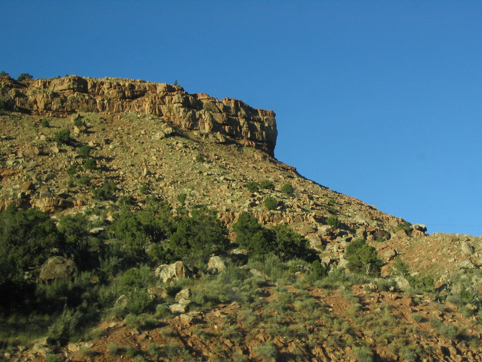
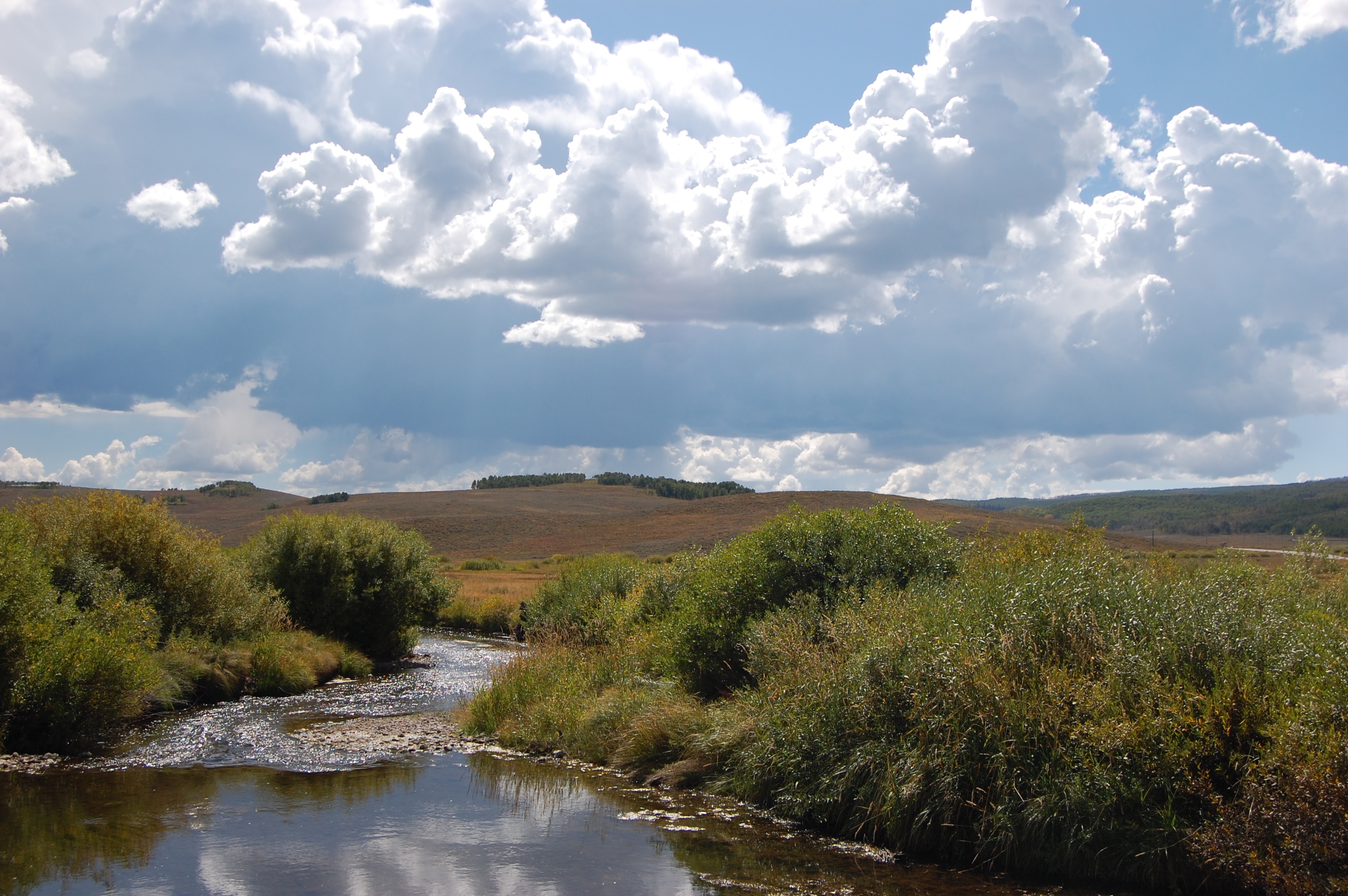
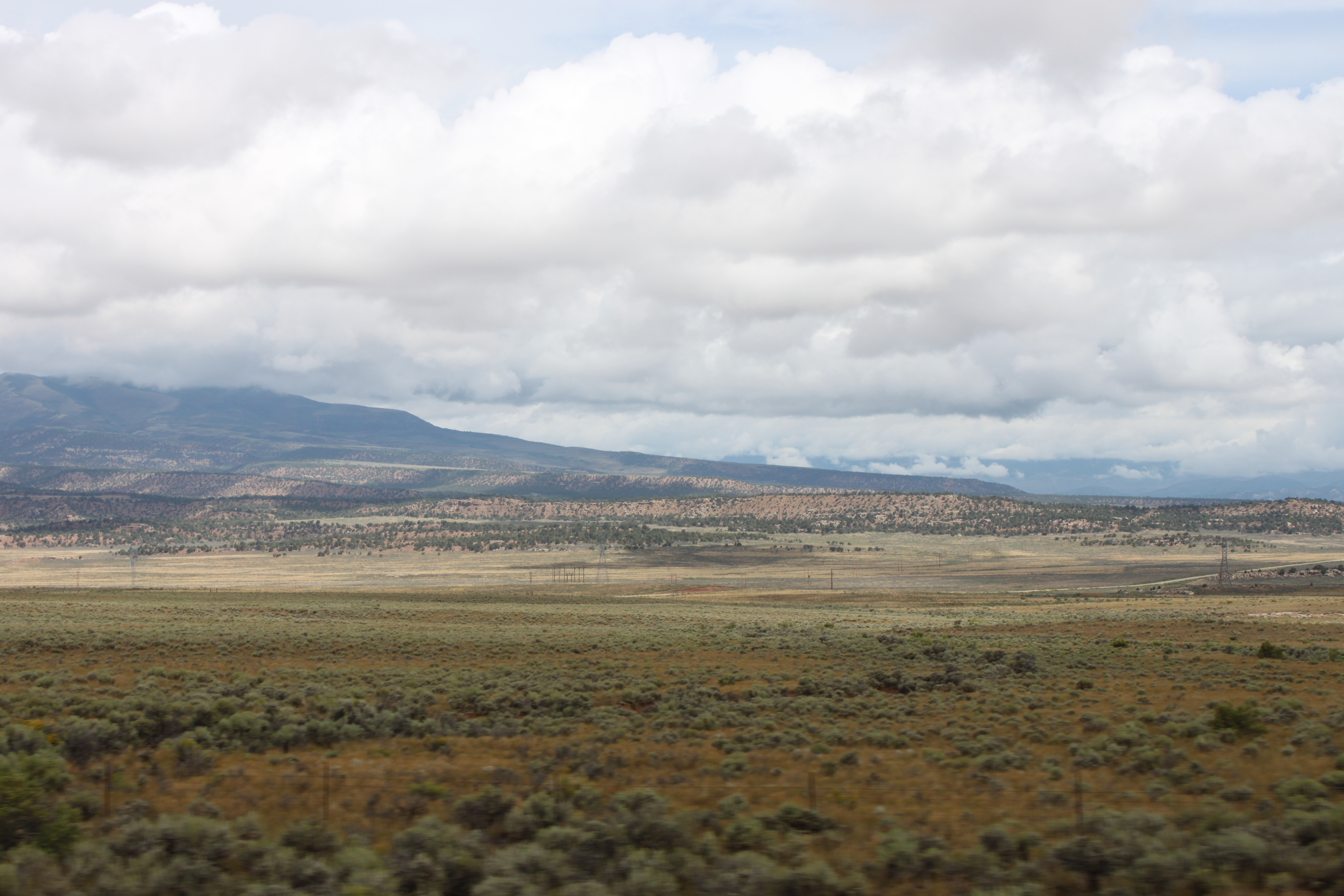
Red Rock Near Currant Creek, Utah, U.S. 40
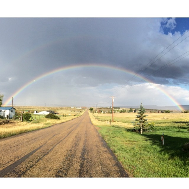
check out this amazing photo captured by @amber.sweat of my favorite place in the whole wide world!! #heavenonearth #iloveutah

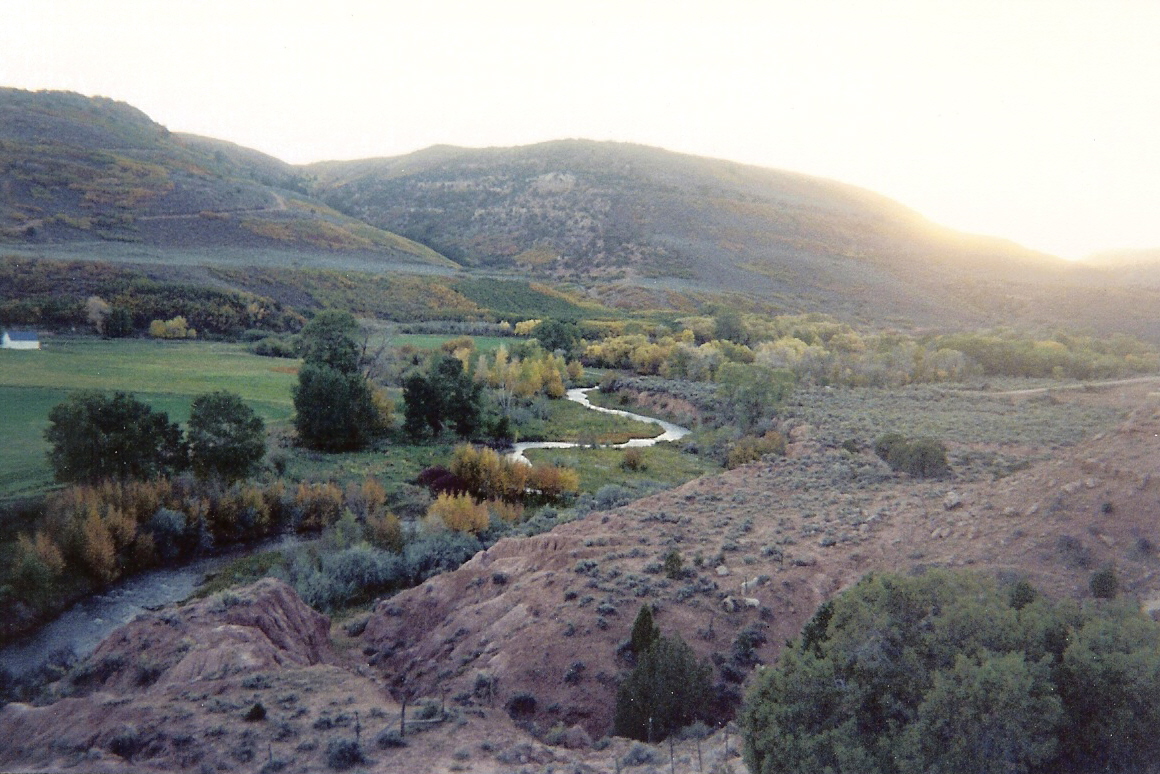
2012-ROADTRIP9-Idyllic1
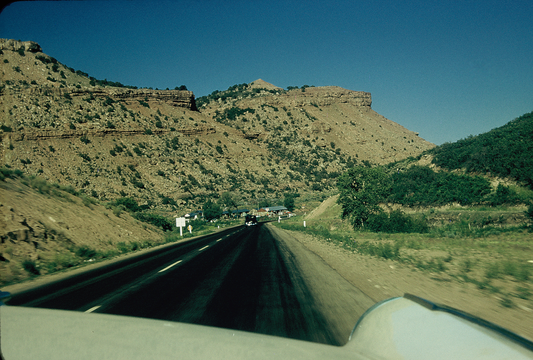
Along US Route 40 near Fruitlands, Utah, 1956
U.S. 40, Currant Creek Viewpoint at the Border of Duschesne and Wasatch County, Utah
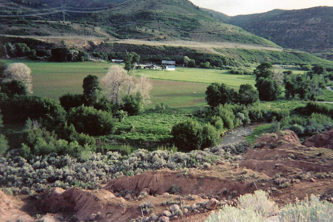
U.S. 40, Currant Creek Viewpoint, Near Fruitland, Utah
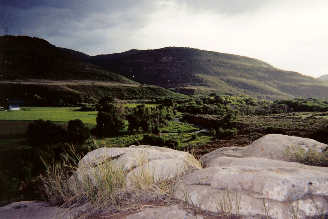
Ashley National Forest, UT
U.S. 40, Currant Creek Viewpoint

2012-ROADTRIP8-Rocks
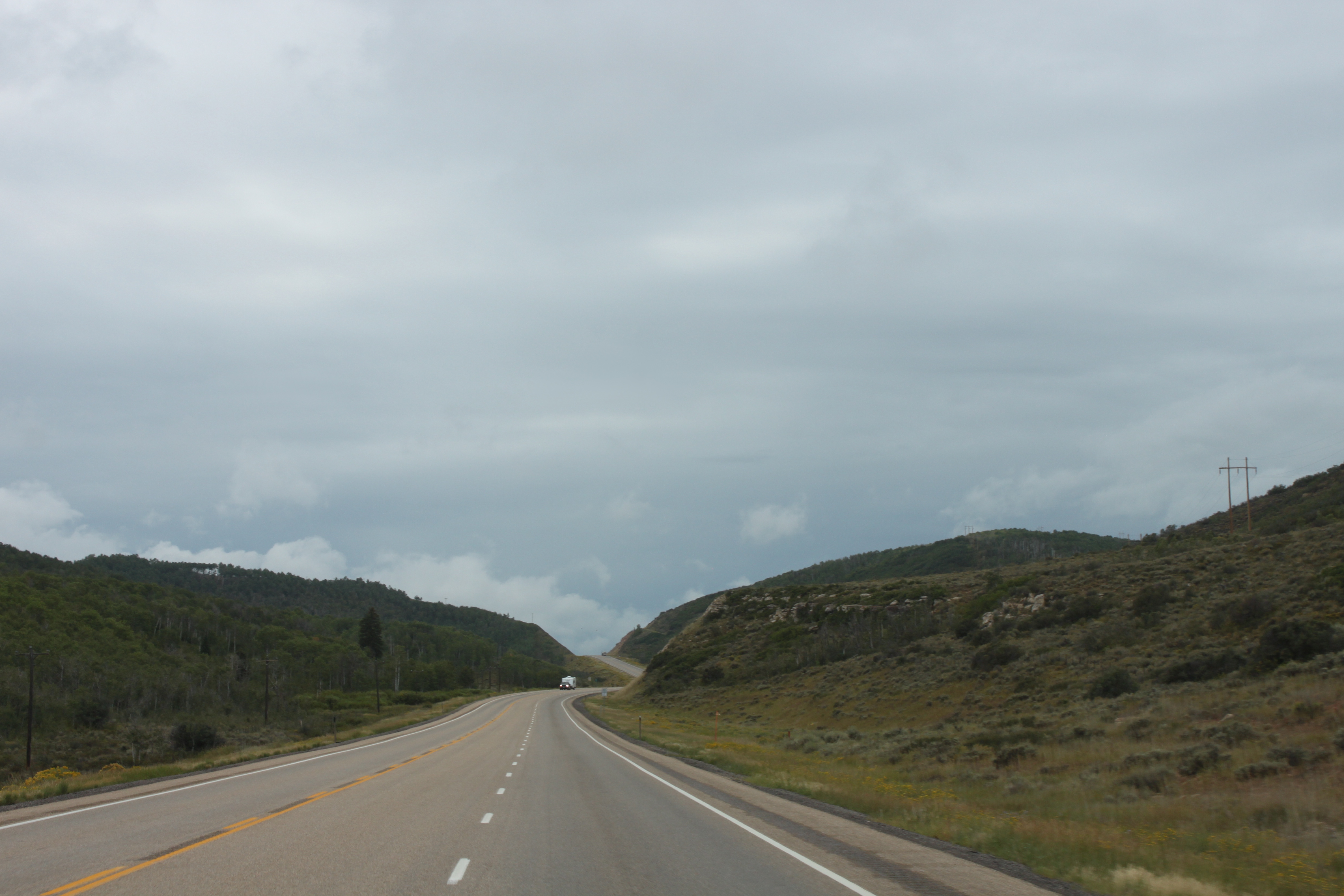
Along Highway 40

Along Highway 40
Near Fruitland

Highway 40
Topographic Map of Fruitland, UT, USA
Find elevation by address:

Places in Fruitland, UT, USA:
Places near Fruitland, UT, USA:
US-40, Fruitland, UT, USA
6570 S 37280 W
Hanna
Wasatch County
Soldier Creek Campground Road
7661 Mountain Ridge Dr
Duchesne County
Defa's Dude Ranch
Soldier Summit
Colton
Bald Mountain Pass
Washington Lake
Crystal Lake Trailhead
Spring Canyon
823 Spring Canyon Cir
823 Castle Gate Cir
823 Castle Gate Rd
Helper
Helen Lake
Anchor Lake
Recent Searches:
- Elevation of Spaceport America, Co Rd A, Truth or Consequences, NM, USA
- Elevation of Warwick, RI, USA
- Elevation of Fern Rd, Whitmore, CA, USA
- Elevation of 62 Abbey St, Marshfield, MA, USA
- Elevation of Fernwood, Bradenton, FL, USA
- Elevation of Felindre, Swansea SA5 7LU, UK
- Elevation of Leyte Industrial Development Estate, Isabel, Leyte, Philippines
- Elevation of W Granada St, Tampa, FL, USA
- Elevation of Pykes Down, Ivybridge PL21 0BY, UK
- Elevation of Jalan Senandin, Lutong, Miri, Sarawak, Malaysia