Elevation of Frontier County, NE, USA
Location: United States > Nebraska >
Longitude: -100.34978
Latitude: 40.5744778
Elevation: 820m / 2690feet
Barometric Pressure: 92KPa
Elevation Map:
Satellite Map:
Related Photos:
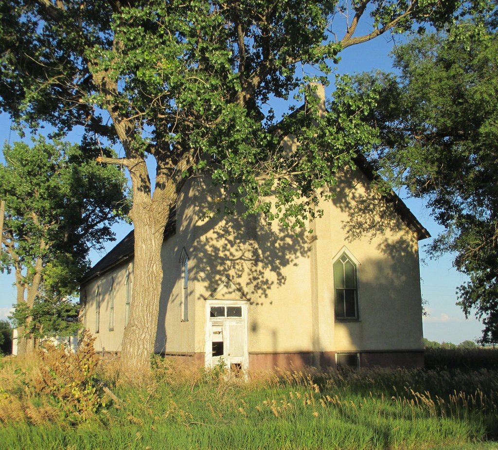
Old Church (Moorefield, Nebraska)
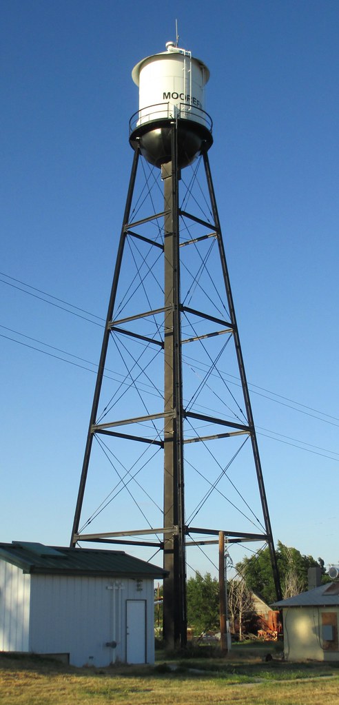
Moorefield, Nebraska Water Tower
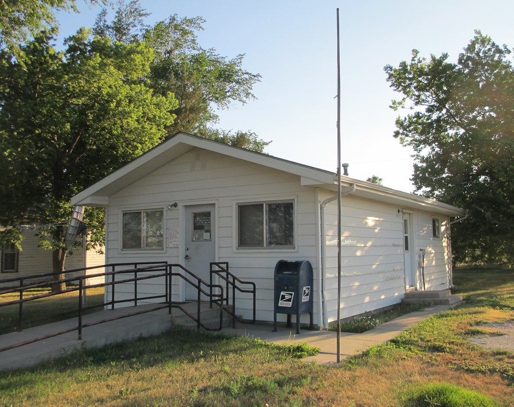
Post Office 69039 (Moorefield, Nebraska)

Tractor For Parts

20150502-_E1A0232.jpg
20150502-_E1A0228.jpg

20150502-IMG_7867.jpg
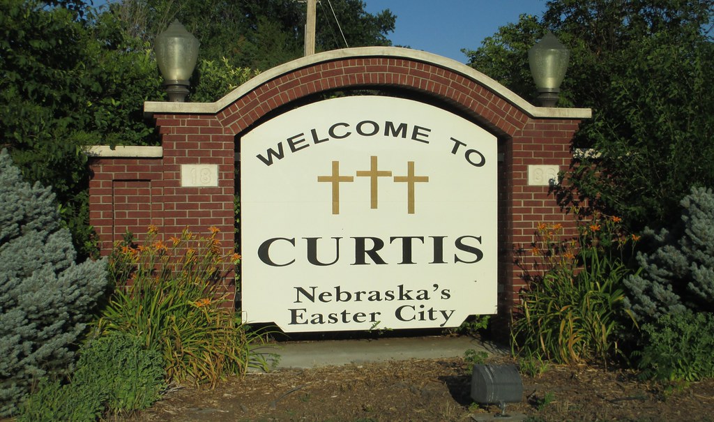
Welcome to Curtis Sign (Curtis, Nebraska)

Post Office 69025 (Curtis, Nebraska)

the feed store

Friends forever

Before I go
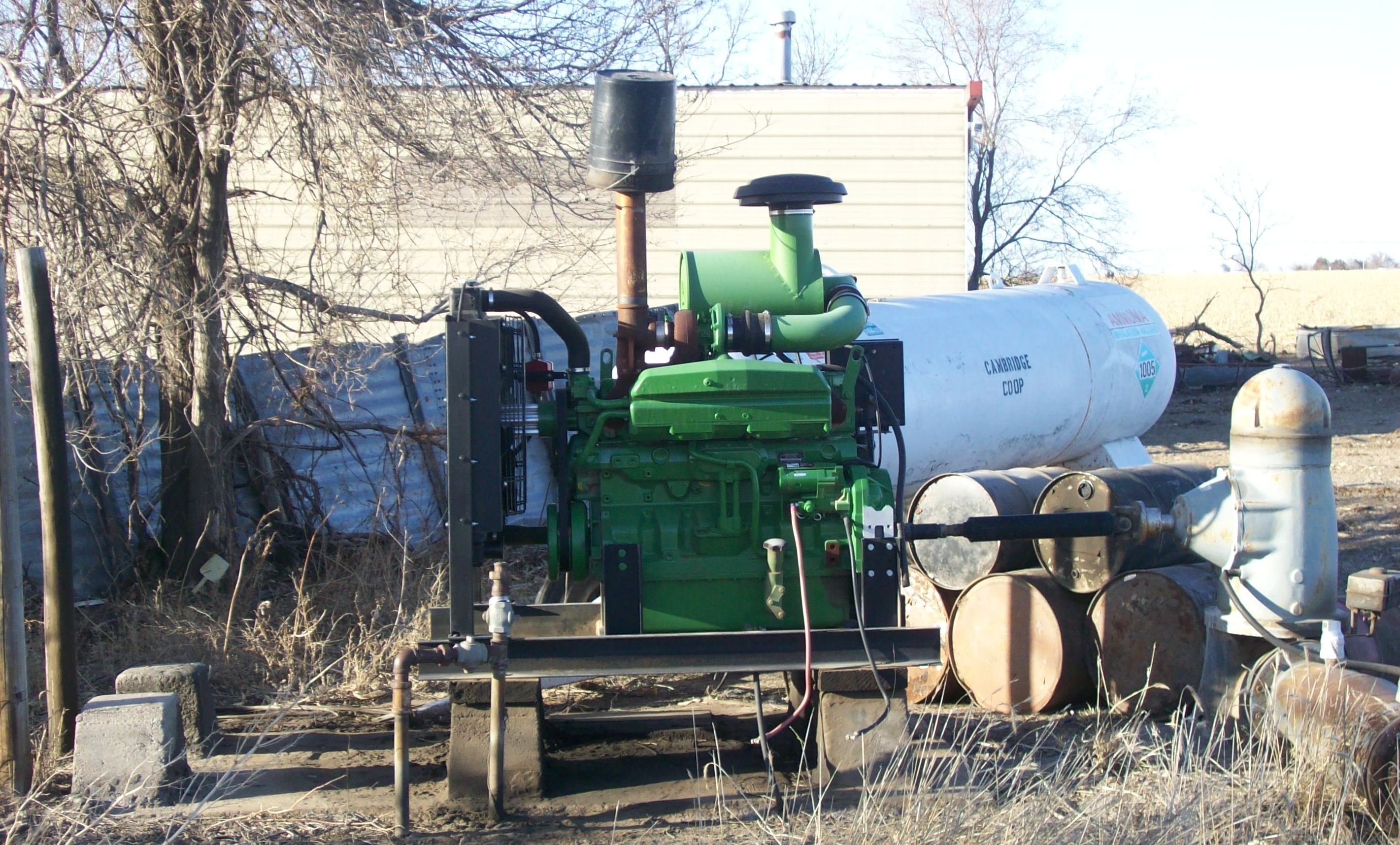
Irrigation Pump & Engine

Auctioneer at the Farm Sale
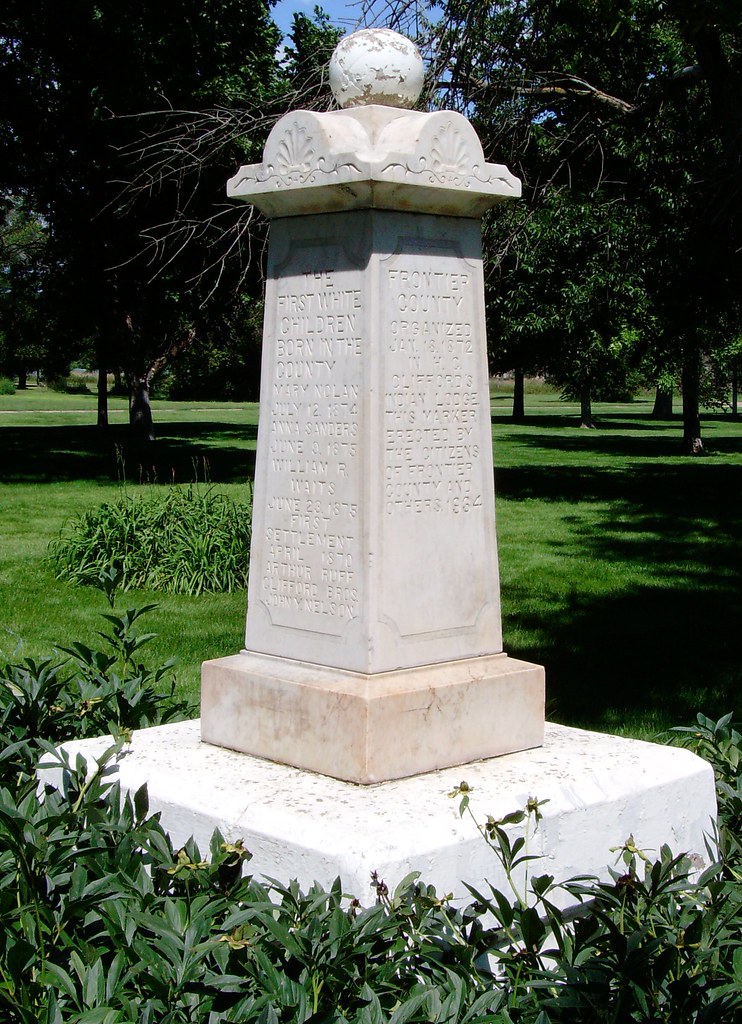
Frontier County History Marker (Stockville, Nebraska)
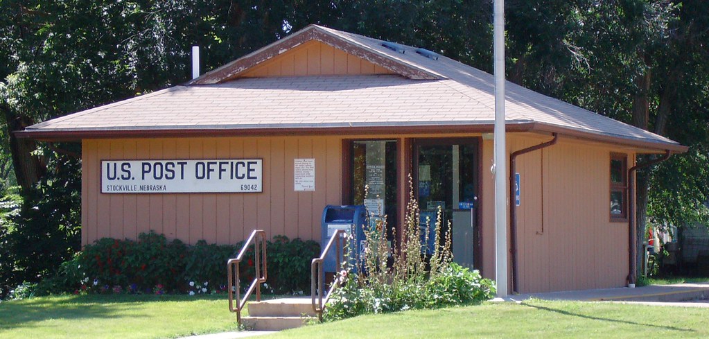
Post Office 69042 (Stockville, Nebraska)
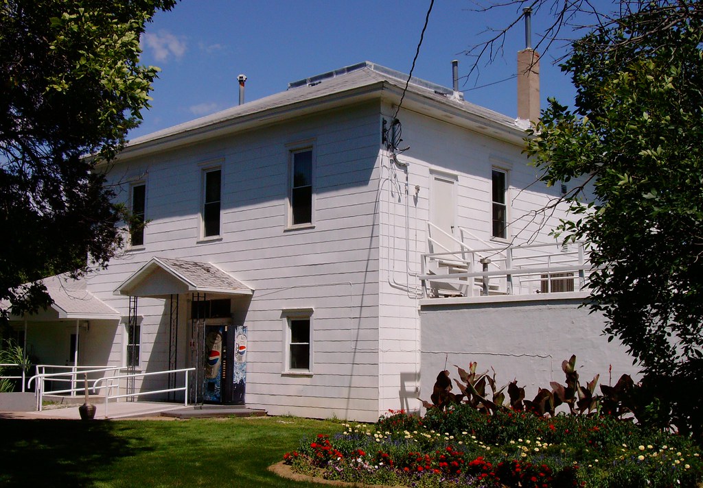
Frontier County Courthouse (Stockville, Nebraska)
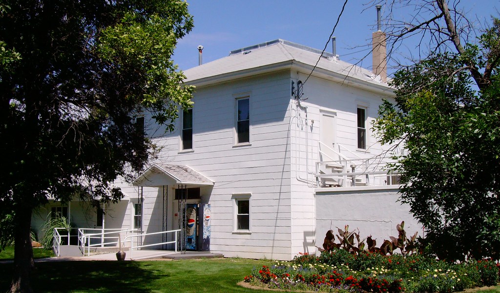
Frontier County Courthouse (Stockville, Nebraska)
Topographic Map of Frontier County, NE, USA
Find elevation by address:

Places in Frontier County, NE, USA:
Places near Frontier County, NE, USA:
Nebraska College Of Technical Agriculture
116 Ne-18
Curtis
Fairview
74441 Middle Canyon Rd
74441 Middle Canyon Rd
74439 Middle Canyon Rd
74441 Middle Canyon Rd
74439 Middle Canyon Rd
Middle Canyon Road
Bartley
302 N Clay St
Eustis
74441 Ne-21
Red Willow County
Willow Grove
Ringgold
307 E 7th St
Mccook
Smith Ave, Elwood, NE, USA
Recent Searches:
- Elevation of Lagasgasan, X+CQH, Tiaong, Quezon, Philippines
- Elevation of Rojo Ct, Atascadero, CA, USA
- Elevation of Flagstaff Drive, Flagstaff Dr, North Carolina, USA
- Elevation of Avery Ln, Lakeland, FL, USA
- Elevation of Woolwine, VA, USA
- Elevation of Lumagwas Diversified Farmers Multi-Purpose Cooperative, Lumagwas, Adtuyon, RV32+MH7, Pangantucan, Bukidnon, Philippines
- Elevation of Homestead Ridge, New Braunfels, TX, USA
- Elevation of Orchard Road, Orchard Rd, Marlborough, NY, USA
- Elevation of 12 Hutchinson Woods Dr, Fletcher, NC, USA
- Elevation of Holloway Ave, San Francisco, CA, USA