Elevation of Front Ridge Rd, Kaplan, LA, USA
Location: United States > Louisiana > Vermilion Parish > > Kaplan >
Longitude: -92.415629
Latitude: 29.6385785
Elevation: 1m / 3feet
Barometric Pressure: 101KPa
Elevation Map:
Satellite Map:
Related Photos:

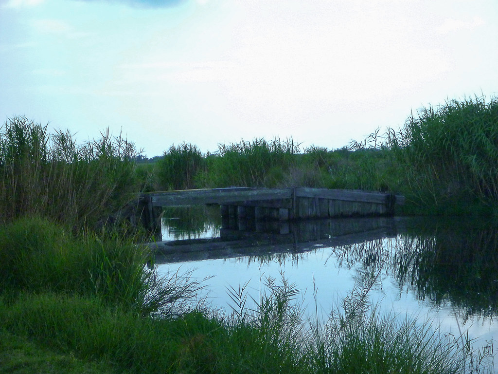
Bayou, Grass, Sky

Sacred Heart Chapel, Pecan Island

Hunting in the marsh

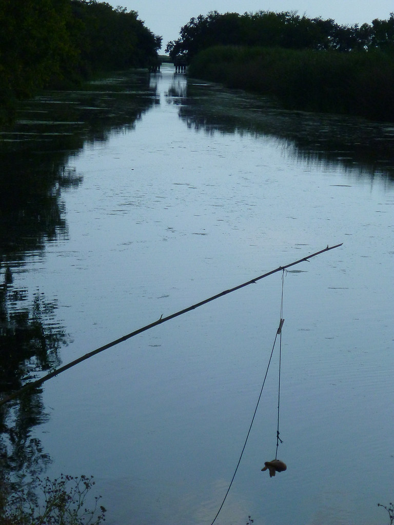
Fishing at Sunset

untitled shoot-1010224

untitled shoot-1010178

untitled shoot-1010168

untitled shoot-1010200

untitled shoot-1010238

untitled shoot-1010199

untitled shoot-1010163

untitled shoot-1010179

untitled shoot-1010201

untitled shoot-1010164
untitled shoot-1010187
untitled shoot-1010209

untitled shoot-1010142

untitled shoot-1010143

untitled shoot-1010165

untitled shoot-1010192

untitled shoot-1010204
Topographic Map of Front Ridge Rd, Kaplan, LA, USA
Find elevation by address:

Places near Front Ridge Rd, Kaplan, LA, USA:
Pecan Island Food Store
Front Ridge Rd, Kaplan, LA, USA
Pecan Island
Pecan Island
13, LA, USA
Pecan Island West Hunt Club
Forked Island
Pine Island Rd, Abbeville, LA, USA
Cuz Rd, Abbeville, LA, USA
Vermilion Parish
21318 Cuz Rd
Waldo Road
Intracoastal City
13923 Wright Rd
13923 Wright Rd
13729 Wright Rd
LA-, Abbeville, LA, USA
9, LA, USA
20935 La-335
15120 La-35
Recent Searches:
- Elevation of 35 Governors Ln, Hilton Head Island, SC, USA
- Elevation of Orangevale, CA, USA
- Elevation of Doe Cir, Clinton, OH, USA
- Elevation of Narhe, Pune, Maharashtra, India
- Elevation of Martins Mill Ct, Eagle Rock, NC, USA
- Elevation of Kippen, Stirling FK8, UK
- Elevation of Sieveringer Straße, Sieveringer Str., Wien, Austria
- Elevation of Bratskaya Ulitsa, 24, Kurgan, Kurganskaya oblast', Russia
- Elevation of Paradisvegen, Biri, Norway
- Elevation of Crystal Cir, Birmingham, AL, USA