Elevation of Froid, MT, USA
Location: United States > Montana > Roosevelt County >
Longitude: -104.49162
Latitude: 48.335143
Elevation: 619m / 2031feet
Barometric Pressure: 94KPa
Elevation Map:
Satellite Map:
Related Photos:

big_shot
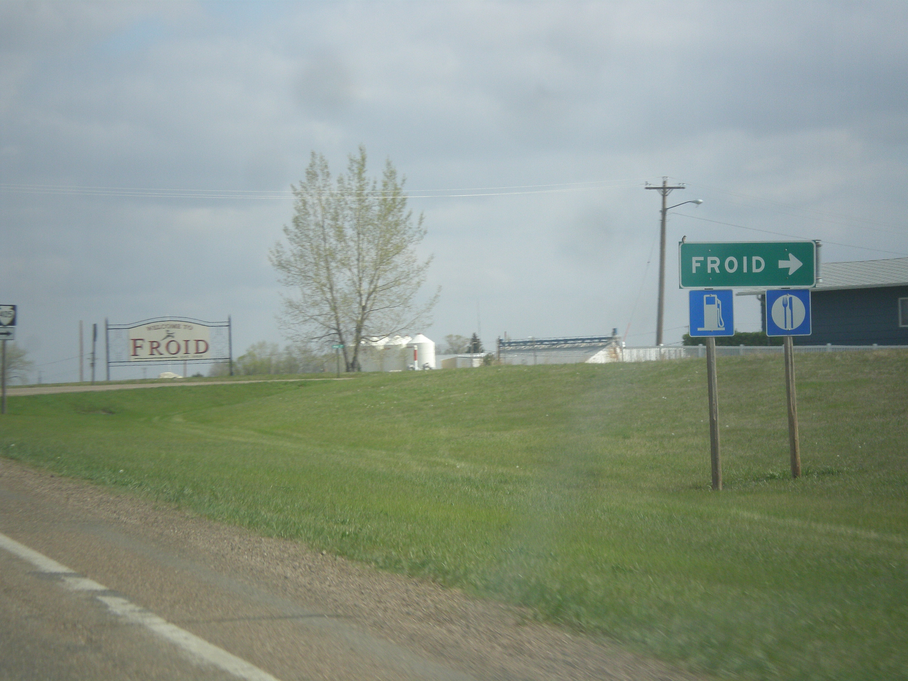
MT-16 North at MTS-405
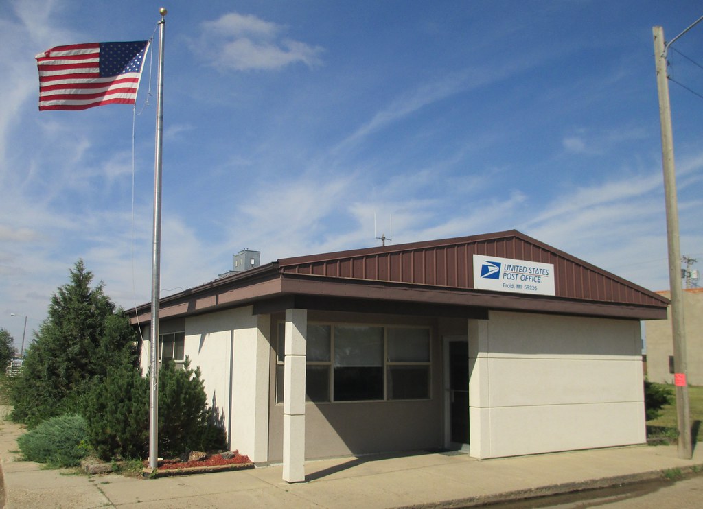
Post Office 59226 (Froid, Montana)
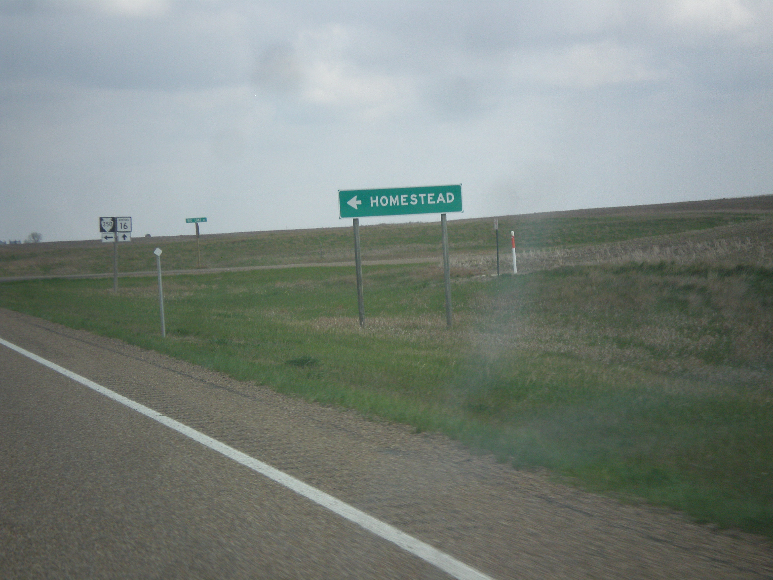
MT-16 North at MTS-350 West
Topographic Map of Froid, MT, USA
Find elevation by address:

Places in Froid, MT, USA:
Places near Froid, MT, USA:
Park St, Froid, MT, USA
Sheridan County
Brush Lake
Dagmar
Plentywood
Richland County
101 Syme Ln
Roosevelt County
Outlook
Lake Alma No. 8
12 Main St, Flaxville, MT, USA
Flaxville
Minton
21 1 Ave, Minton, SK S0C 1T0, Canada
514 Sheep Creek Rd
Recent Searches:
- Elevation of Corso Fratelli Cairoli, 35, Macerata MC, Italy
- Elevation of Tallevast Rd, Sarasota, FL, USA
- Elevation of 4th St E, Sonoma, CA, USA
- Elevation of Black Hollow Rd, Pennsdale, PA, USA
- Elevation of Oakland Ave, Williamsport, PA, USA
- Elevation of Pedrógão Grande, Portugal
- Elevation of Klee Dr, Martinsburg, WV, USA
- Elevation of Via Roma, Pieranica CR, Italy
- Elevation of Tavkvetili Mountain, Georgia
- Elevation of Hartfords Bluff Cir, Mt Pleasant, SC, USA