Elevation of Frog Island Road, Frog Island Rd, Salem, NC, USA
Location: United States > North Carolina > Camden County > Courthouse > Elizabeth City >
Longitude: -76.098009
Latitude: 36.1492888
Elevation: 0m / 0feet
Barometric Pressure: 101KPa
Elevation Map:
Satellite Map:
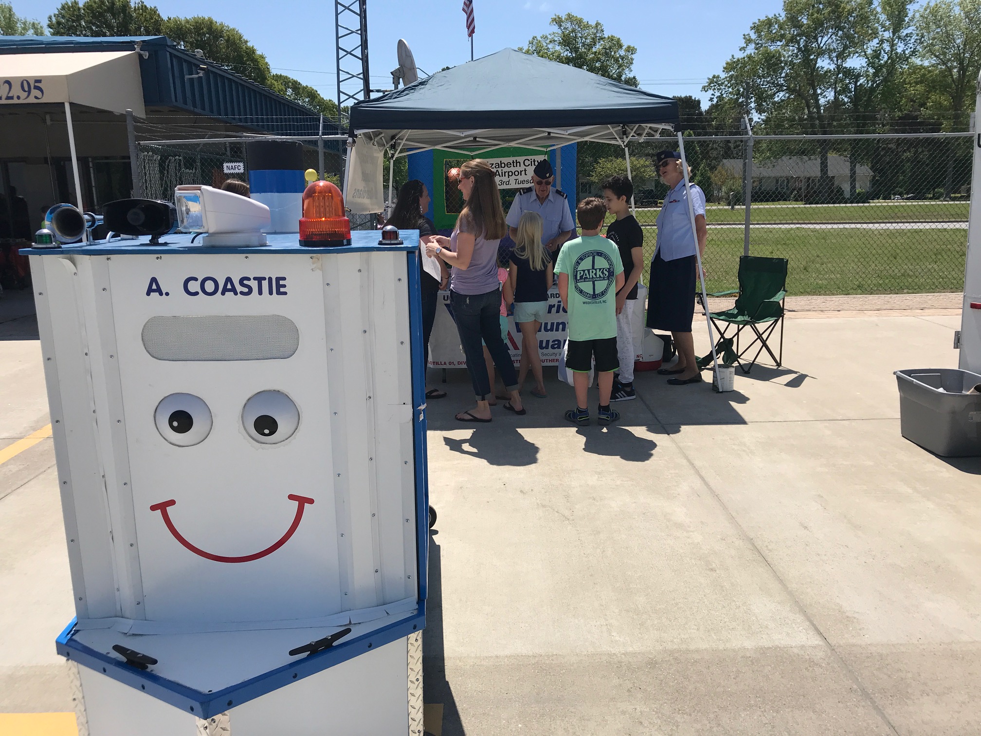
Related Photos:

Sunset on the Pasquotank

The May Milky Way

U. S. Navy, (former) Weeksville Naval Air Station- LTA , North Carolina, Pasquotank County

2013-10-26 Elizabeth City (5) derigible retrieval

Abandoned In Camden - 07

Grumman Hu-16C 9172 28-9-76

Shiloh Baptist Church

Shiloh Baptist Church Historical Marker
IMG_0640 (1)
Topographic Map of Frog Island Road, Frog Island Rd, Salem, NC, USA
Find elevation by address:

Places near Frog Island Road, Frog Island Rd, Salem, NC, USA:
Salem
104 Windwood Dr
Salem Church Rd, Elizabeth City, NC, USA
165 Rebellion Point Rd
1109 Salem Church Rd
Double Bridge Rd, Elizabeth City, NC, USA
Hobbs Landing Road
171 Royal Tern Way
178 Hobbs Landing Rd
147 Royal Tern Way
147 Royal Tern Way
Royal Tern Way
Nixonton Rd, Elizabeth City, NC, USA
1905 Nixonton Rd
129 Durant St
120 Swan Ln
100 Ashton Ave
100 Ashton Ave
102 Pirates Trail
110 Nixonton Loop
Recent Searches:
- Elevation of 2 Henschke Ct, Caboolture QLD, Australia
- Elevation of Redondo Ave, Long Beach, CA, USA
- Elevation of Sadovaya Ulitsa, 20, Rezh, Sverdlovskaya oblast', Russia
- Elevation of Ulitsa Kalinina, 79, Rezh, Sverdlovskaya oblast', Russia
- Elevation of 72-31 Metropolitan Ave, Middle Village, NY, USA
- Elevation of 76 Metropolitan Ave, Brooklyn, NY, USA
- Elevation of Alisal Rd, Solvang, CA, USA
- Elevation of Vista Blvd, Sparks, NV, USA
- Elevation of 15th Ave SE, St. Petersburg, FL, USA
- Elevation of Beall Road, Beall Rd, Florida, USA