Elevation of Fries Bay Rd, Loris, SC, USA
Location: United States > South Carolina > Horry County > Loris >
Longitude: -78.778678
Latitude: 34.0485808
Elevation: 22m / 72feet
Barometric Pressure: 101KPa
Elevation Map:
Satellite Map:
Related Photos:

Autumn Wildflower 1

It Lies Beneath

Moss Abstract
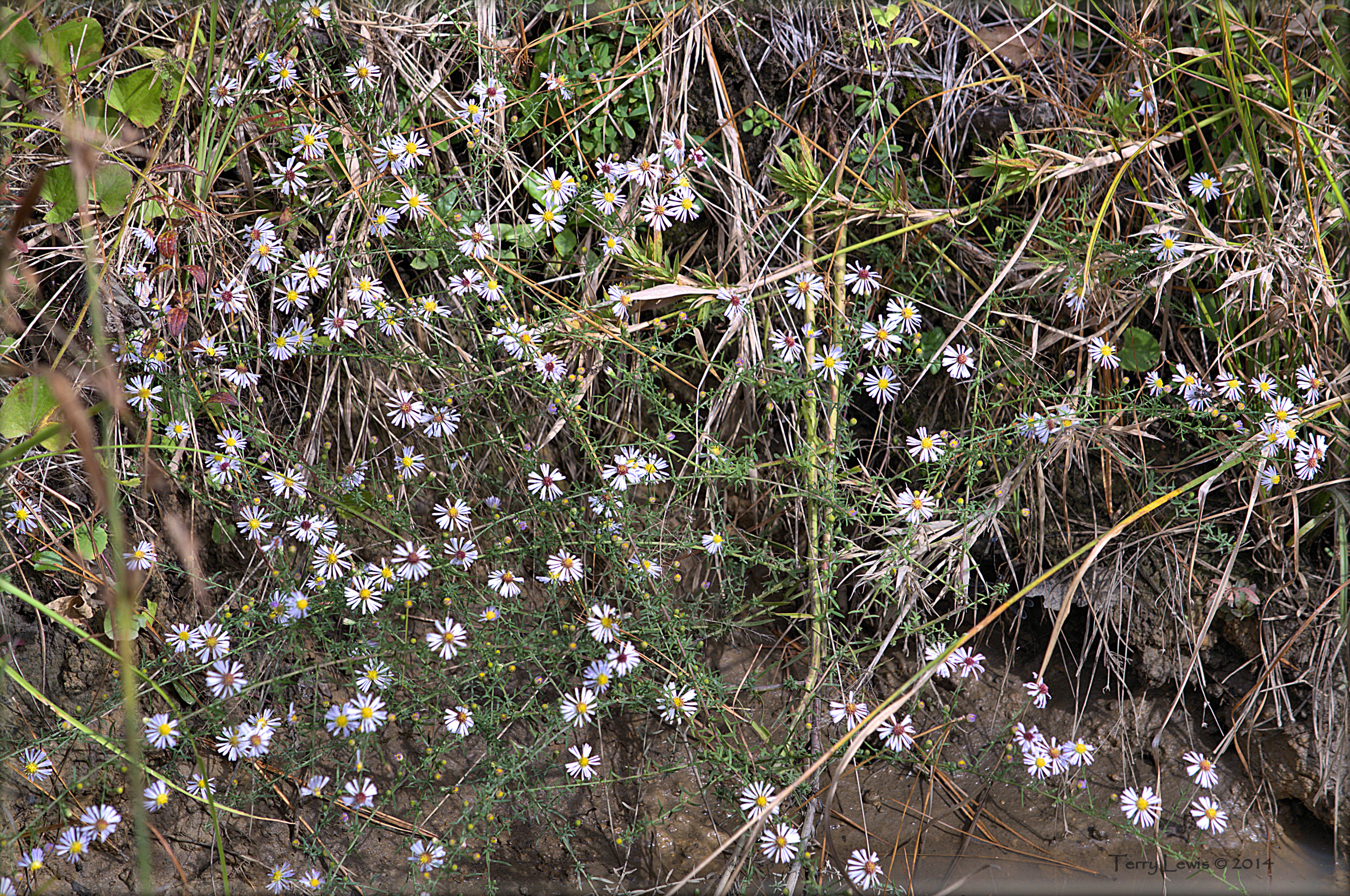
Autumn Wildflower 2

Such a reception--just for us
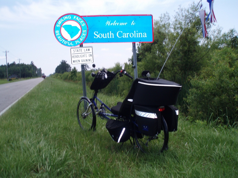
The official SC Welcome Sign

We have arrived

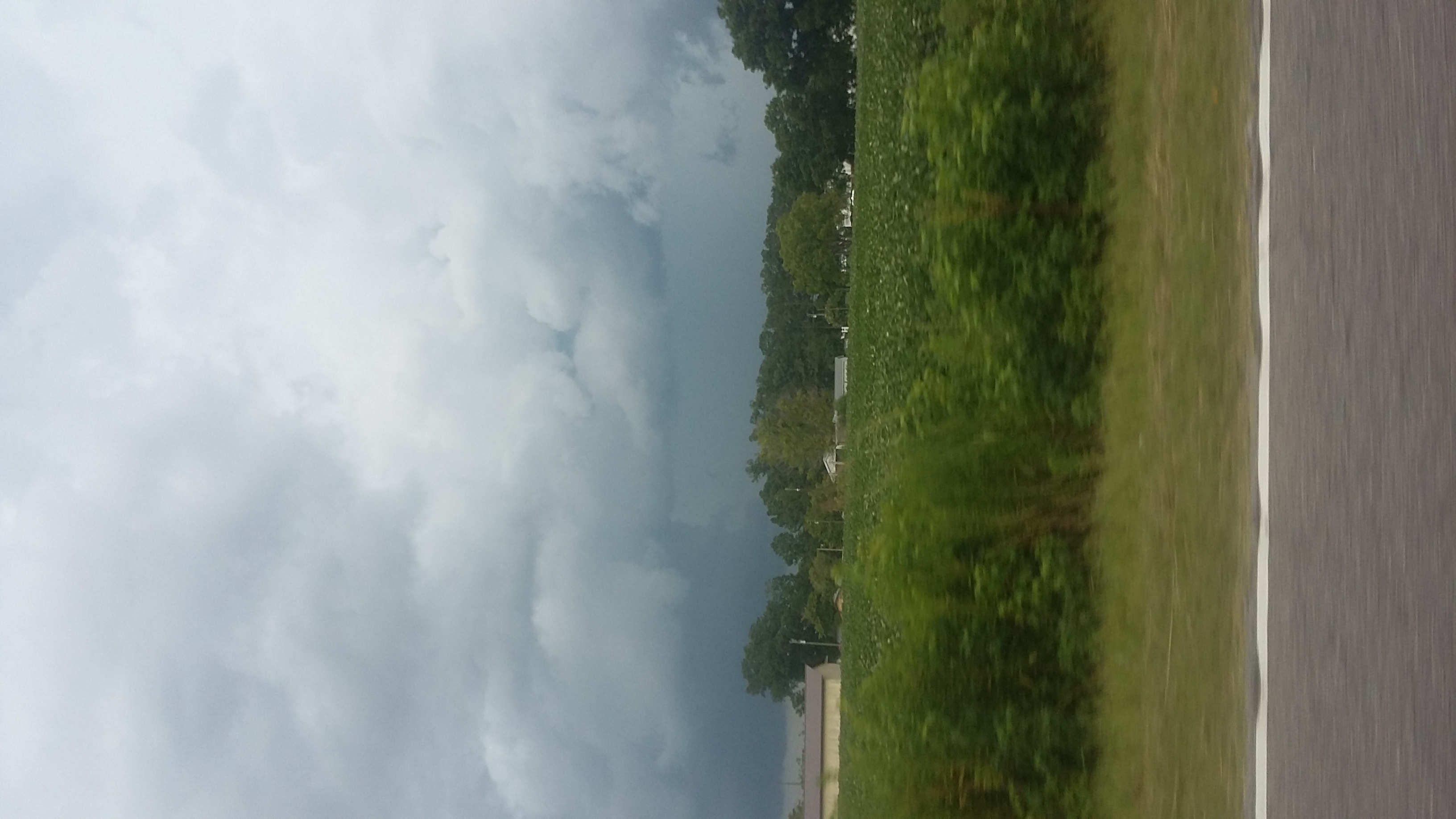
Shattered View

Nose Knows

Sunset over Tabor City Sports Complex

Twin City Airport-Runway 8
20160731_162317(0)
Topographic Map of Fries Bay Rd, Loris, SC, USA
Find elevation by address:

Places near Fries Bay Rd, Loris, SC, USA:
Hulls Island Rd, Loris, SC, USA
411 Hulls Island Rd
Old Loris Longs Road
166 Peacock Ln
5298 Swamp Fox Hwy E
645 Timber Creek Dr
Diamondback Golf Club
2225 Hwy 9 E
Timber Creek Drive
Old Todd Ferry Road
Dempsey Drive
321 Long Meadow Dr
321 Bright Leaf Rd
Stags Leap Court
Long Meadow Drive
Mockingbird Lane
553 Timber Creek Dr
359 Long Meadow Dr
109 Dale Glen Ln
221 Oak Crest Cir
Recent Searches:
- Elevation of Holloway Ave, San Francisco, CA, USA
- Elevation of Norfolk, NY, USA
- Elevation of - San Marcos Pass Rd, Santa Barbara, CA, USA
- Elevation of th Pl SE, Issaquah, WA, USA
- Elevation of 82- D Rd, Captain Cook, HI, USA
- Elevation of Harlow CM20 2PR, UK
- Elevation of Shenyang Agricultural University, Dong Ling Lu, Shen He Qu, Shen Yang Shi, Liao Ning Sheng, China
- Elevation of Alpha Dr, Melbourne, FL, USA
- Elevation of Hiroshima University, 1-chōme-3-2 Kagamiyama, Higashihiroshima, Hiroshima -, Japan
- Elevation of Bernina Dr, Lake Arrowhead, CA, USA