Elevation of Freyenstein, Austria
Location: Austria > Lower Austria > Amstetten District > Gemeinde Neustadtl An Der Donau >
Longitude: 14.9589100
Latitude: 48.20255
Elevation: 227m / 745feet
Barometric Pressure: 99KPa
Elevation Map:
Satellite Map:
Related Photos:

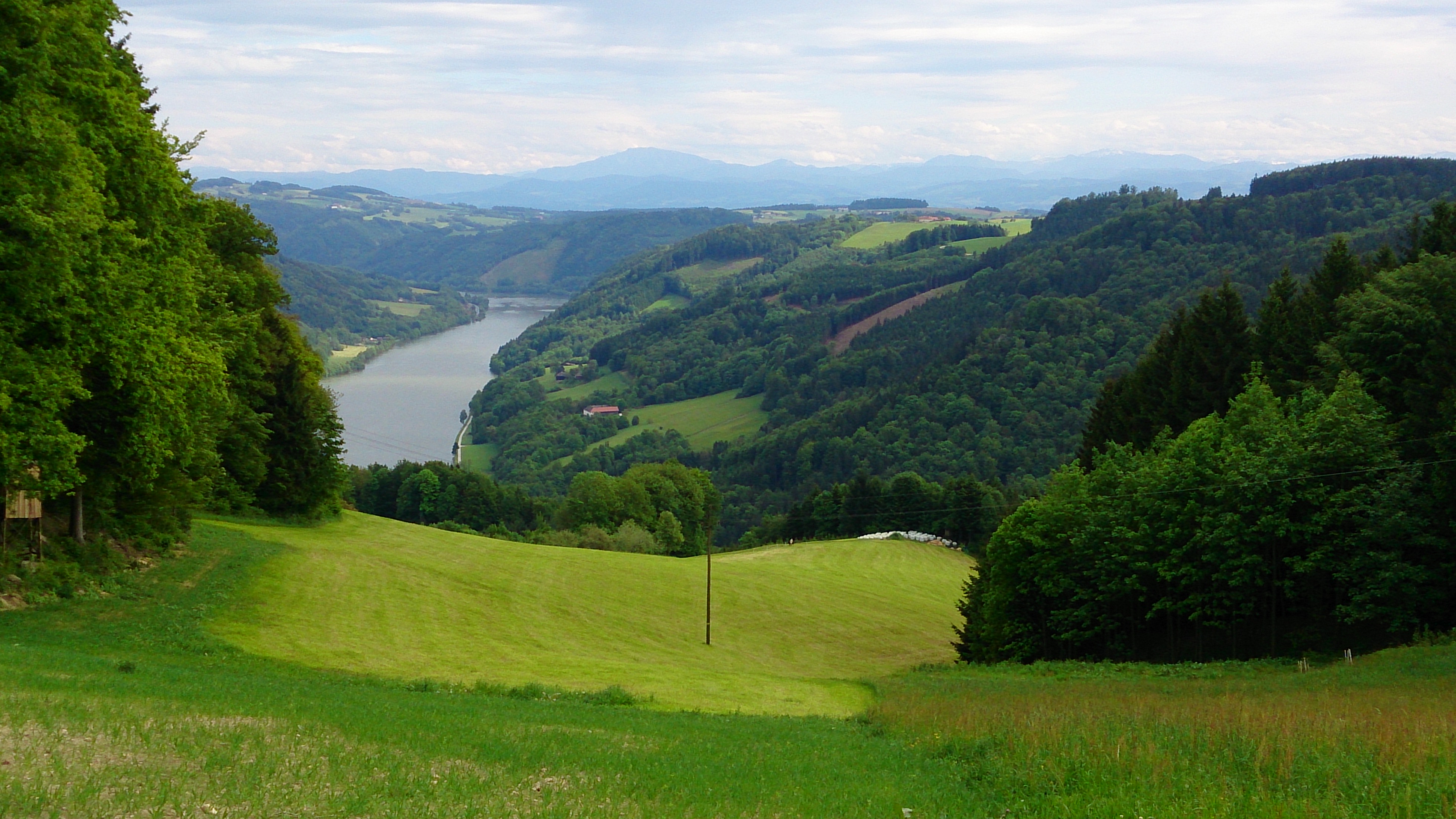
Electric Nature #05: Point of View
140510 great view of the Wachau 02
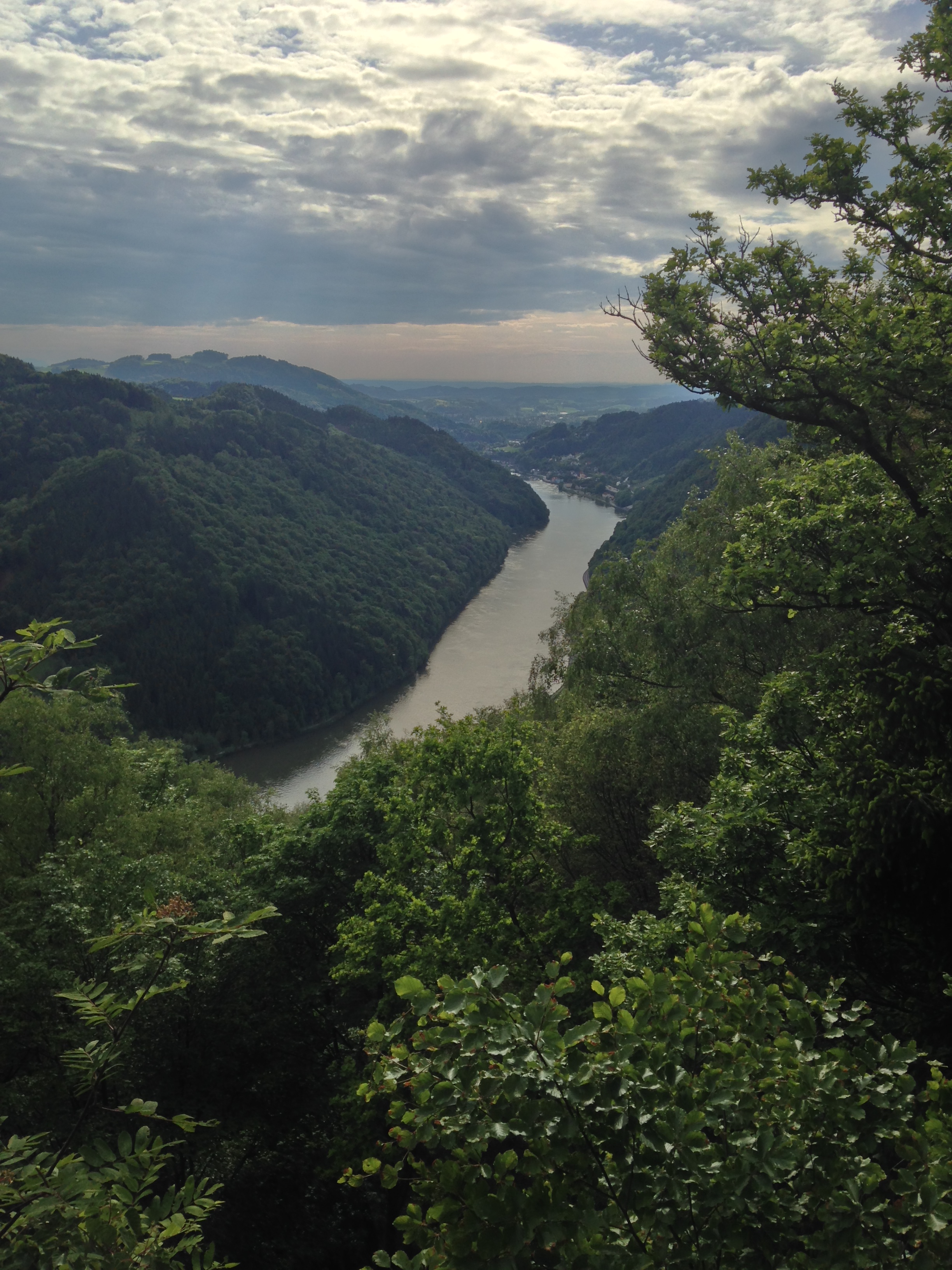
140510 great view of the Wachau 03
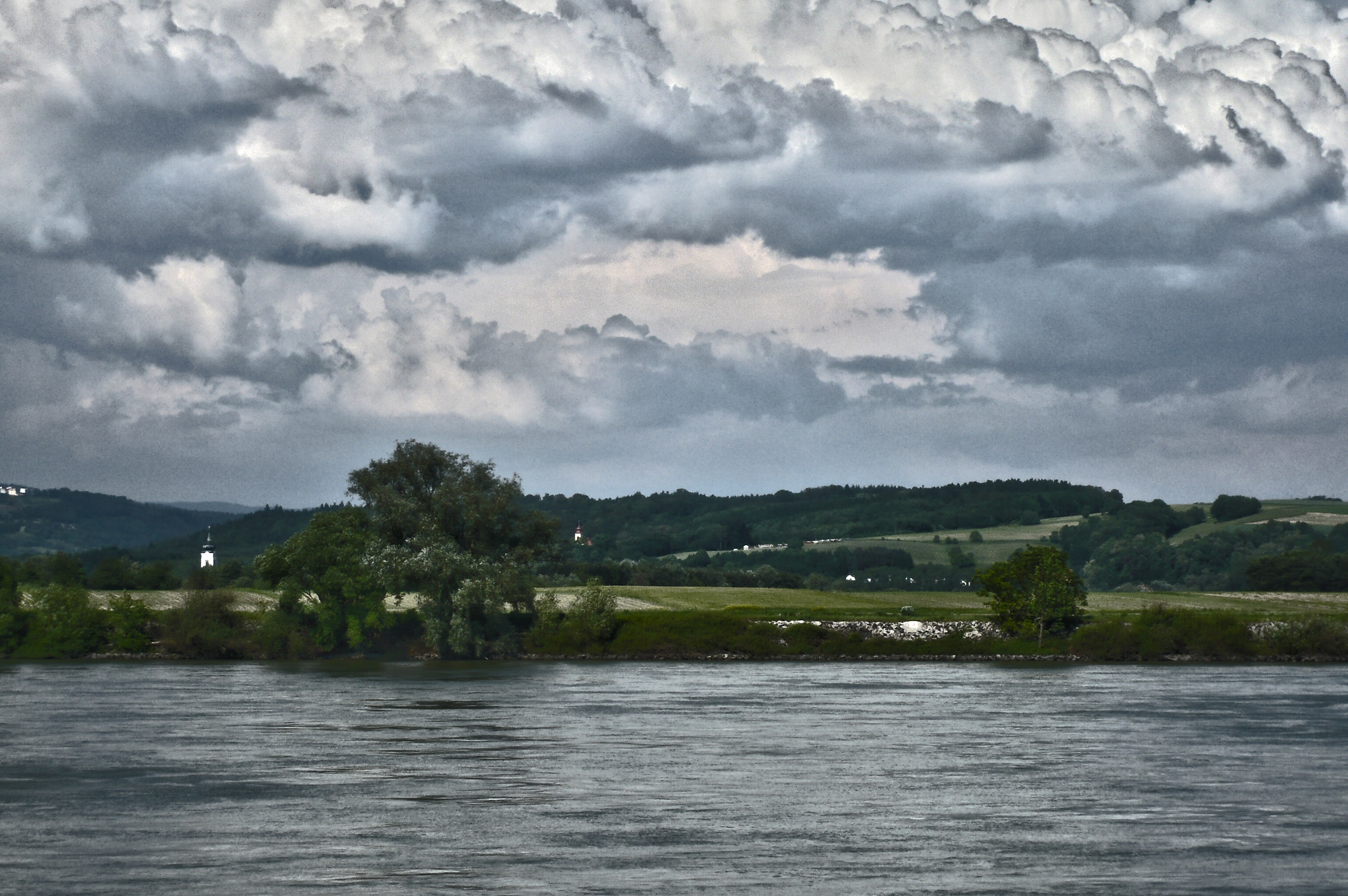
View over the Donau - Austria near Ybbs a.d. Donau - painting (1170391)
140510 great view of the Wachau 01
Topographic Map of Freyenstein, Austria
Find elevation by address:

Places near Freyenstein, Austria:
Ysperdorf 4, Isperdorf, Austria
Au 11, Neustadtl-Umgebung, Austria
Sattl 5, Sattl, Austria
Neustadtl-umgebung
Gemeinde Neustadtl An Der Donau
Moosbach 5, Moosbach, Austria
Sankt Nikola An Der Donau
Rottenberg 4, Rottenberg, Austria
Fünflingeramt
Fünflingeramt 21, Fünflingeramt, Austria
Stiegeramt
Freiensteiner Str. 1, Ybbs an der Donau, Austria
Wellnesshotel Aumühle
Gemeinde Grein
Grein
Stiegeramt 30, Stiegeramt, Austria
Mein-inneres.at Wolfgang Strasser
Gemeinde Hofamt Priel
Hofamt Priel
Persenbeug
Recent Searches:
- Elevation of Elwyn Dr, Roanoke Rapids, NC, USA
- Elevation of Congressional Dr, Stevensville, MD, USA
- Elevation of Bellview Rd, McLean, VA, USA
- Elevation of Stage Island Rd, Chatham, MA, USA
- Elevation of Shibuya Scramble Crossing, 21 Udagawacho, Shibuya City, Tokyo -, Japan
- Elevation of Jadagoniai, Kaunas District Municipality, Lithuania
- Elevation of Pagonija rock, Kranto 7-oji g. 8"N, Kaunas, Lithuania
- Elevation of Co Rd 87, Jamestown, CO, USA
- Elevation of Tenjo, Cundinamarca, Colombia
- Elevation of Côte-des-Neiges, Montreal, QC H4A 3J6, Canada